
We drove from around Oxford to Dover in the morning. It was a relatively long drive, taking nearly 3 hours. We had some varying plans for today but decided to first visit Dover Castle, atop the White Cliffs of Dover. After exploring the castle and its tunnels, we drove to the National Trust‘s White Cliffs of Dover park. It was getting relatively late so we just did a short walk to get a good look at the cliffs.
Dover Castle
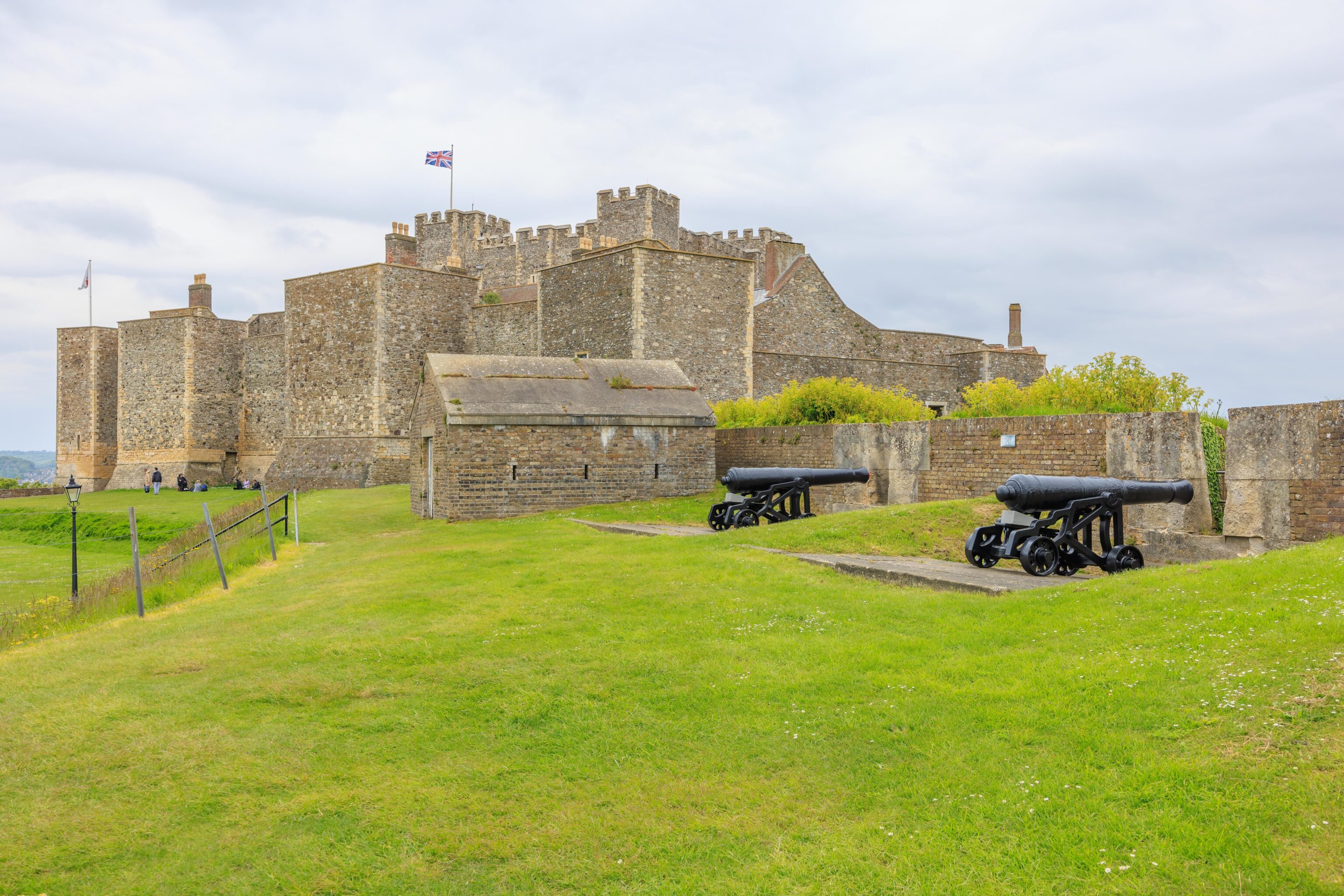
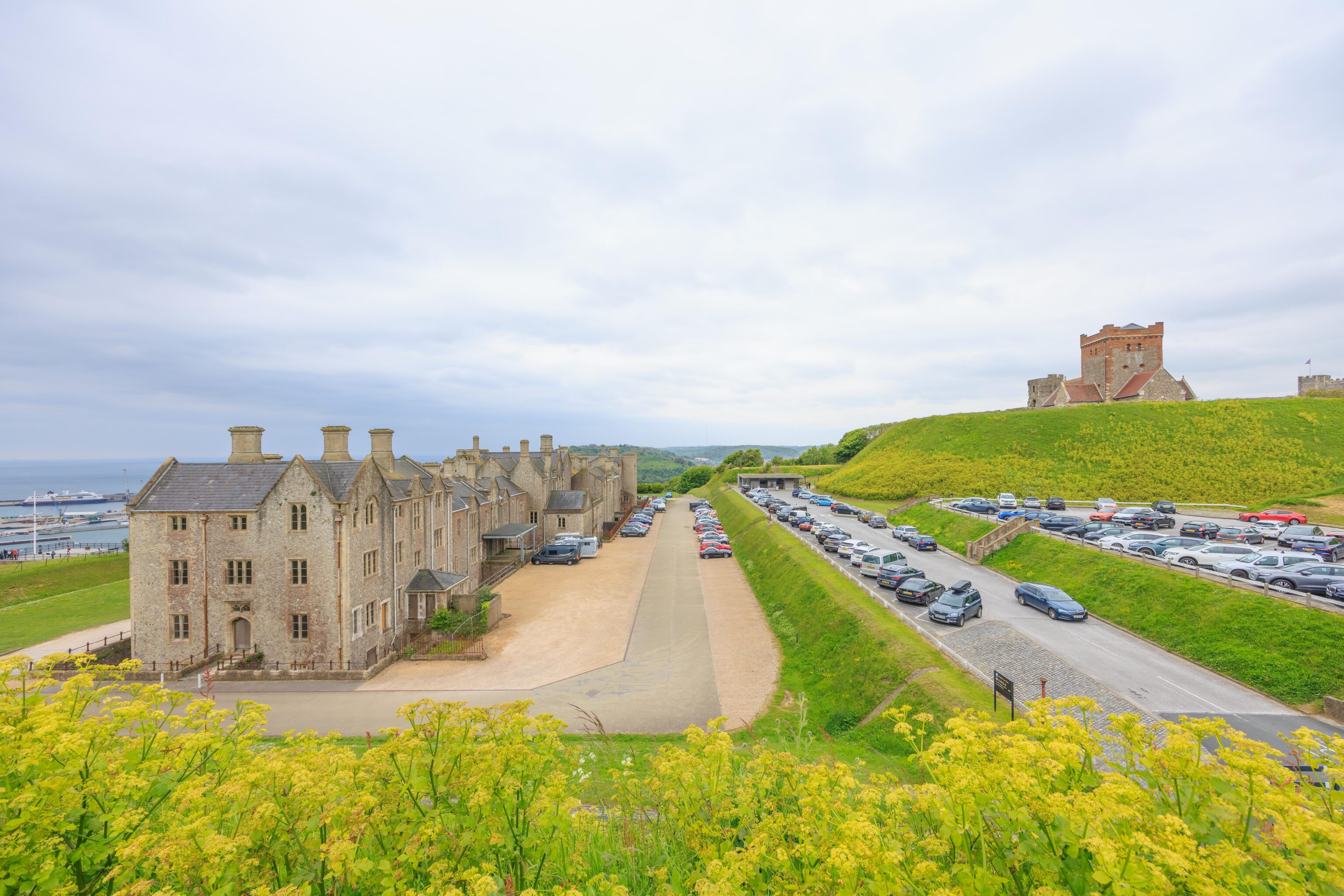
Dover Castle is situated atop the White Cliffs of Dover, right above the town. The ferry terminal for Calais and Dunkirk, both in France, is below. The parking at the castle is slightly confusing because there are three lots, lower, mid, and upper. It turns out they’re all more or less equivalent and connected by stairs. The middle lot is probably the best to pick as it is at the same level as the ticket building.
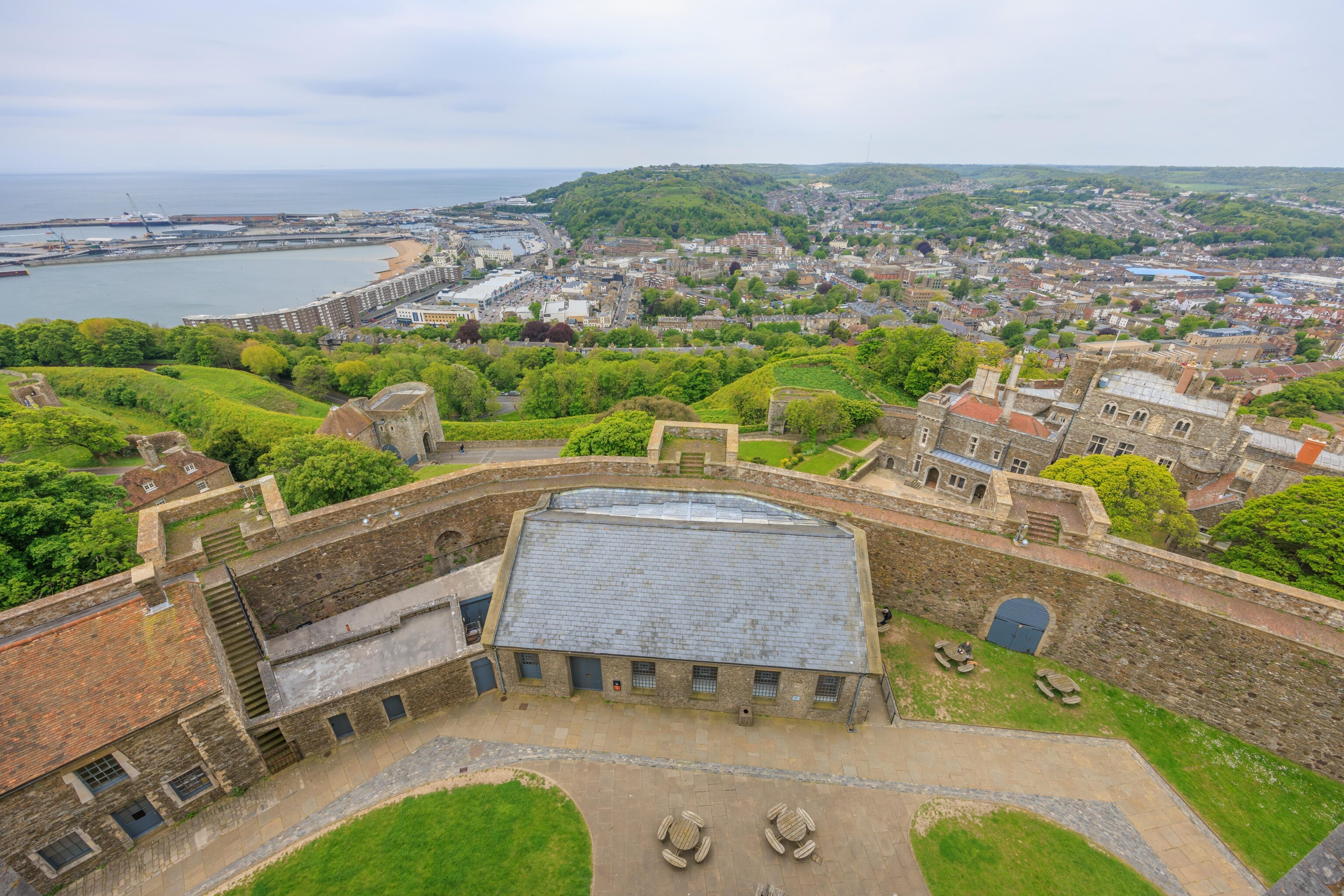
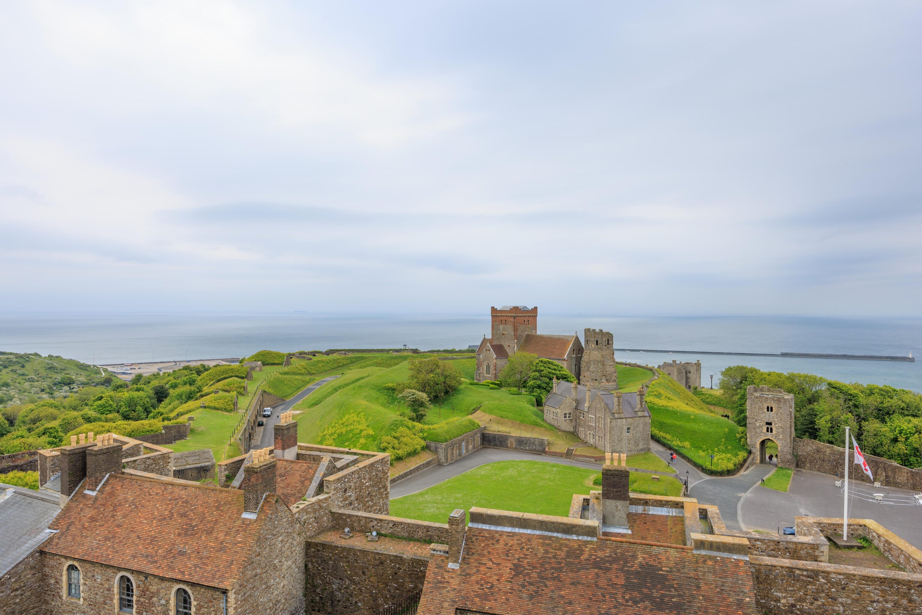
We decided to head to the castle first. There was a hill on the way, right by the ticket building. We ascended the hill by stairs and had this view of the west side of Dover’s harbor.
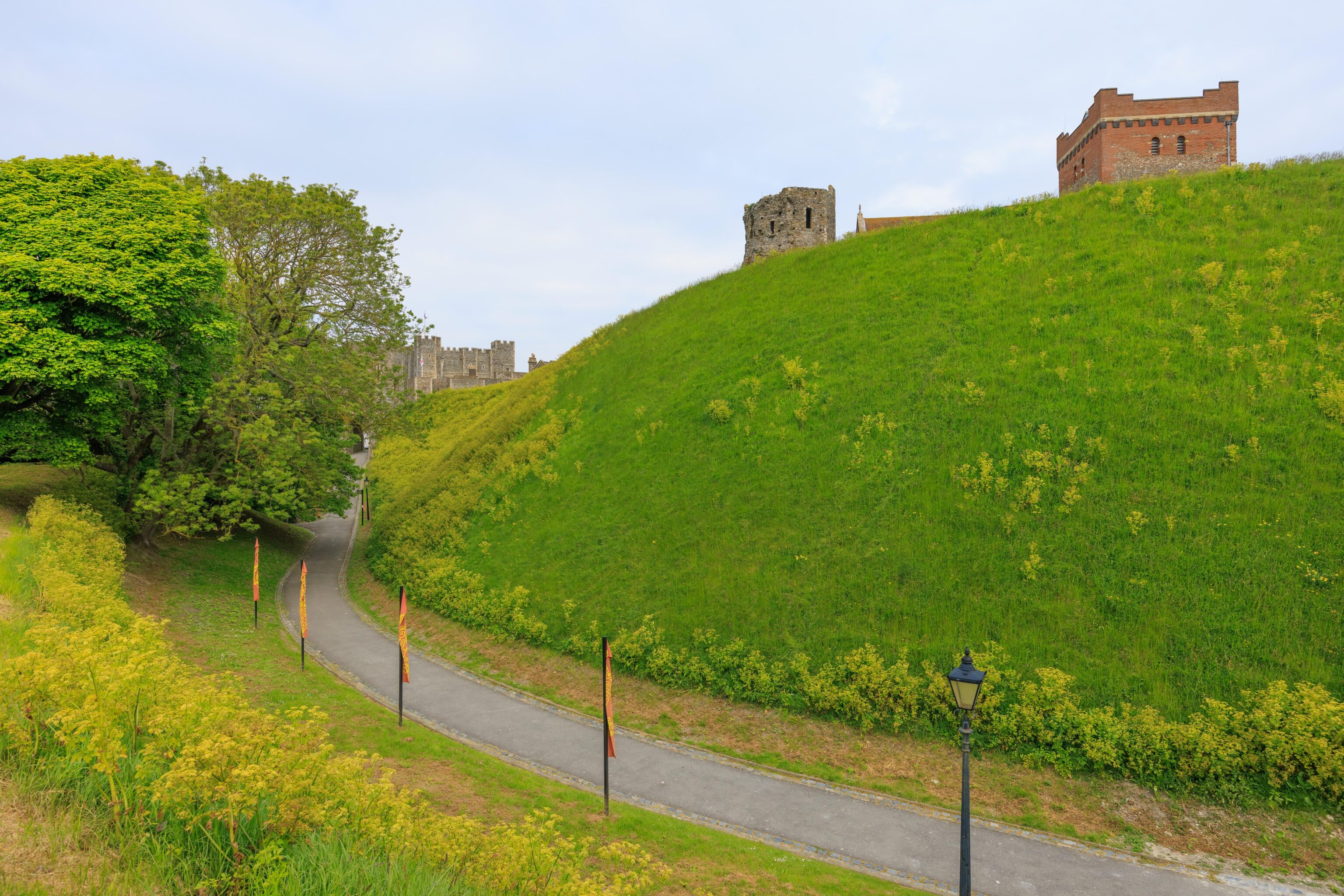
The path below is the one that leads to the castle. The two buildings that are peeking out from atop the hill to the right are the Roman lighthouse and the adjacent St. Mary in Castro Church. The Roman lighthouse is the oldest building here at the castle. Unfortunately, we didn’t actually go to it or the church. We just sort of forgot about them!
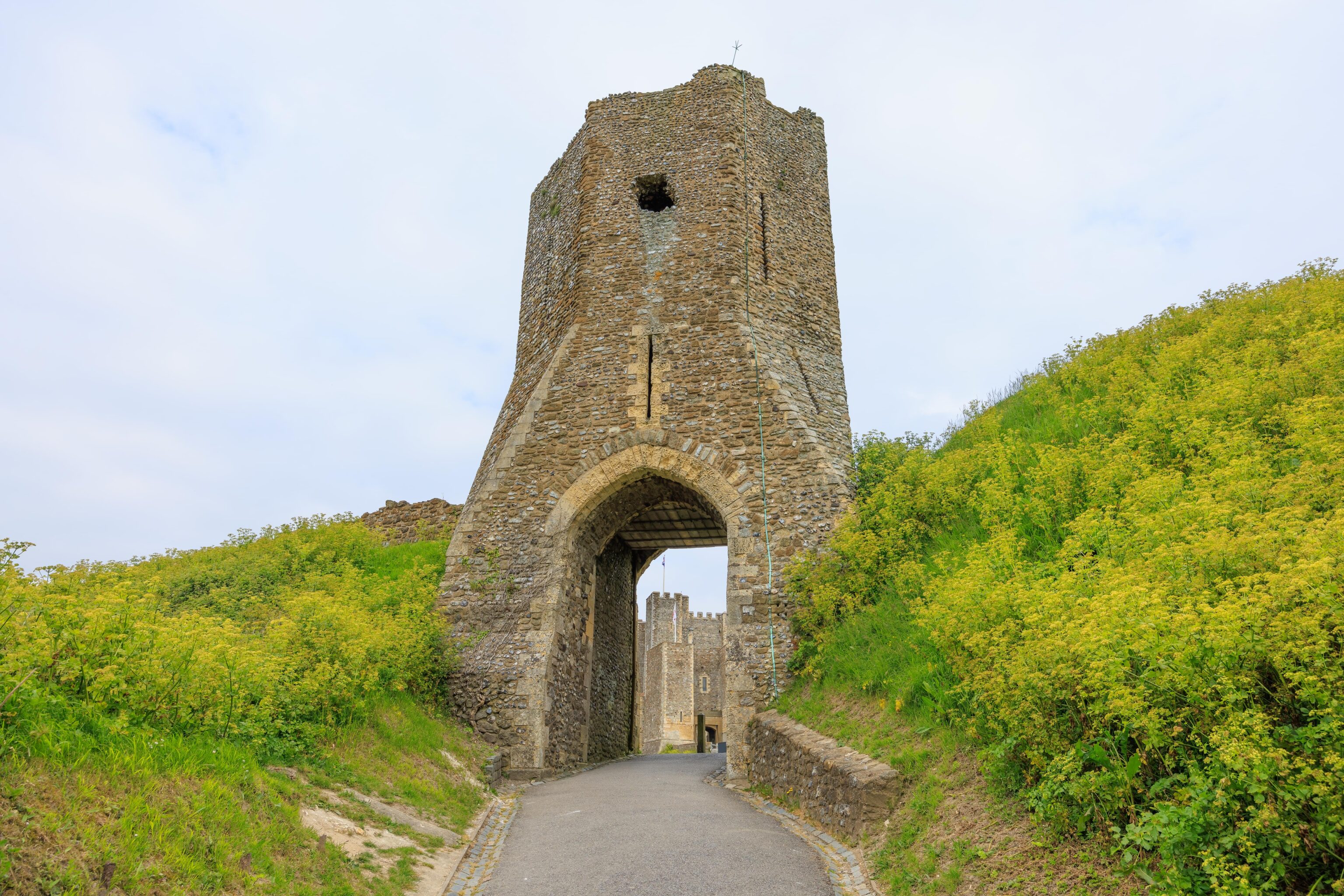
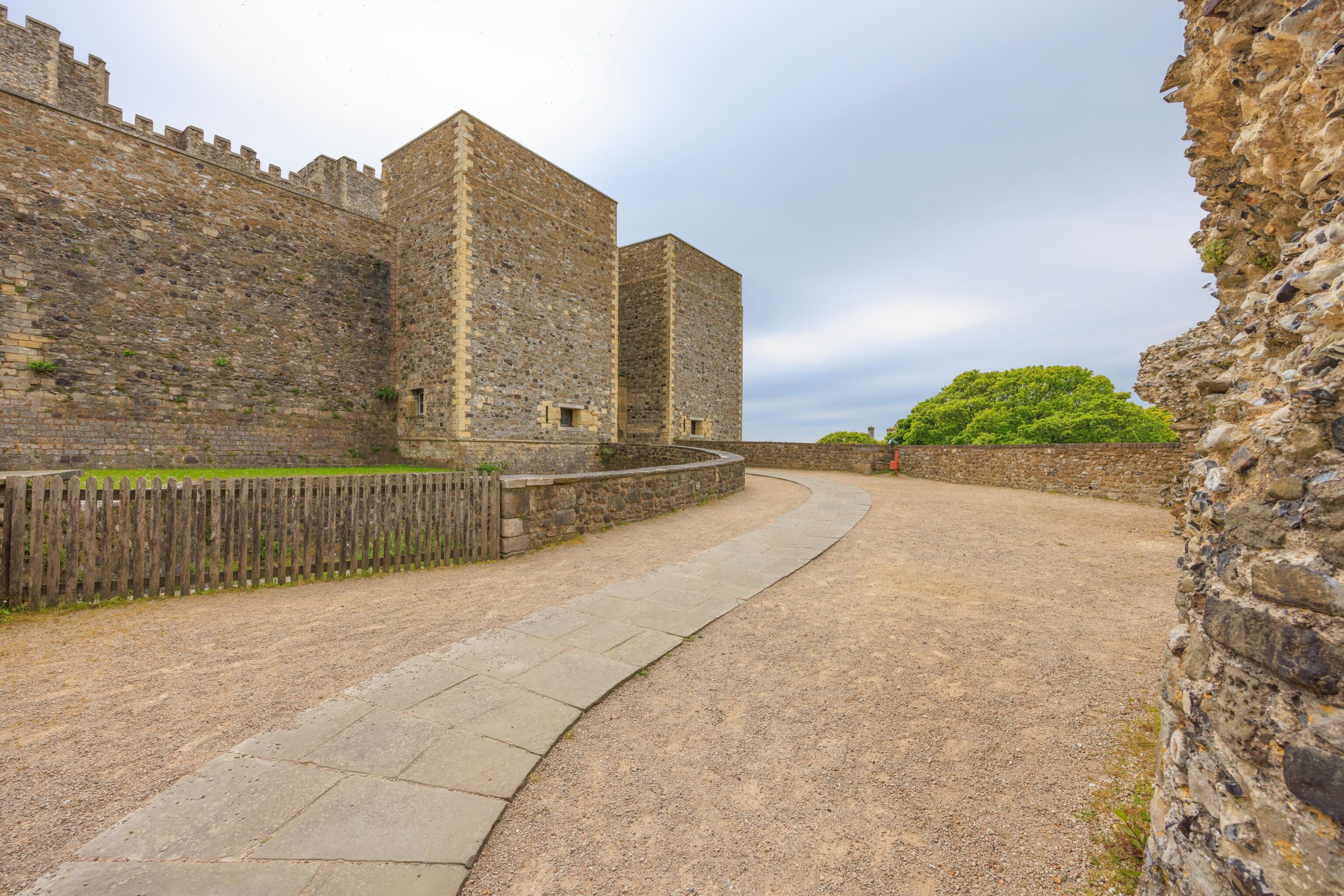
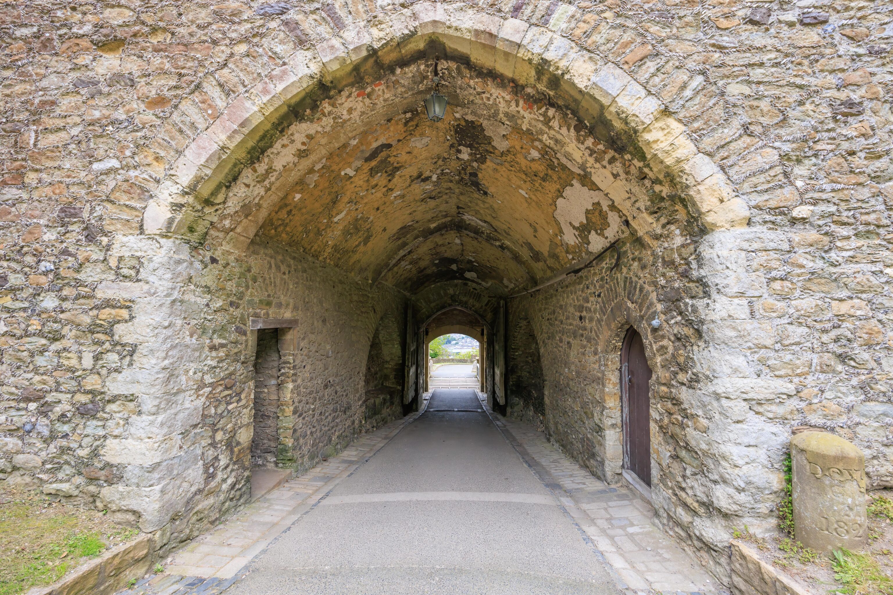
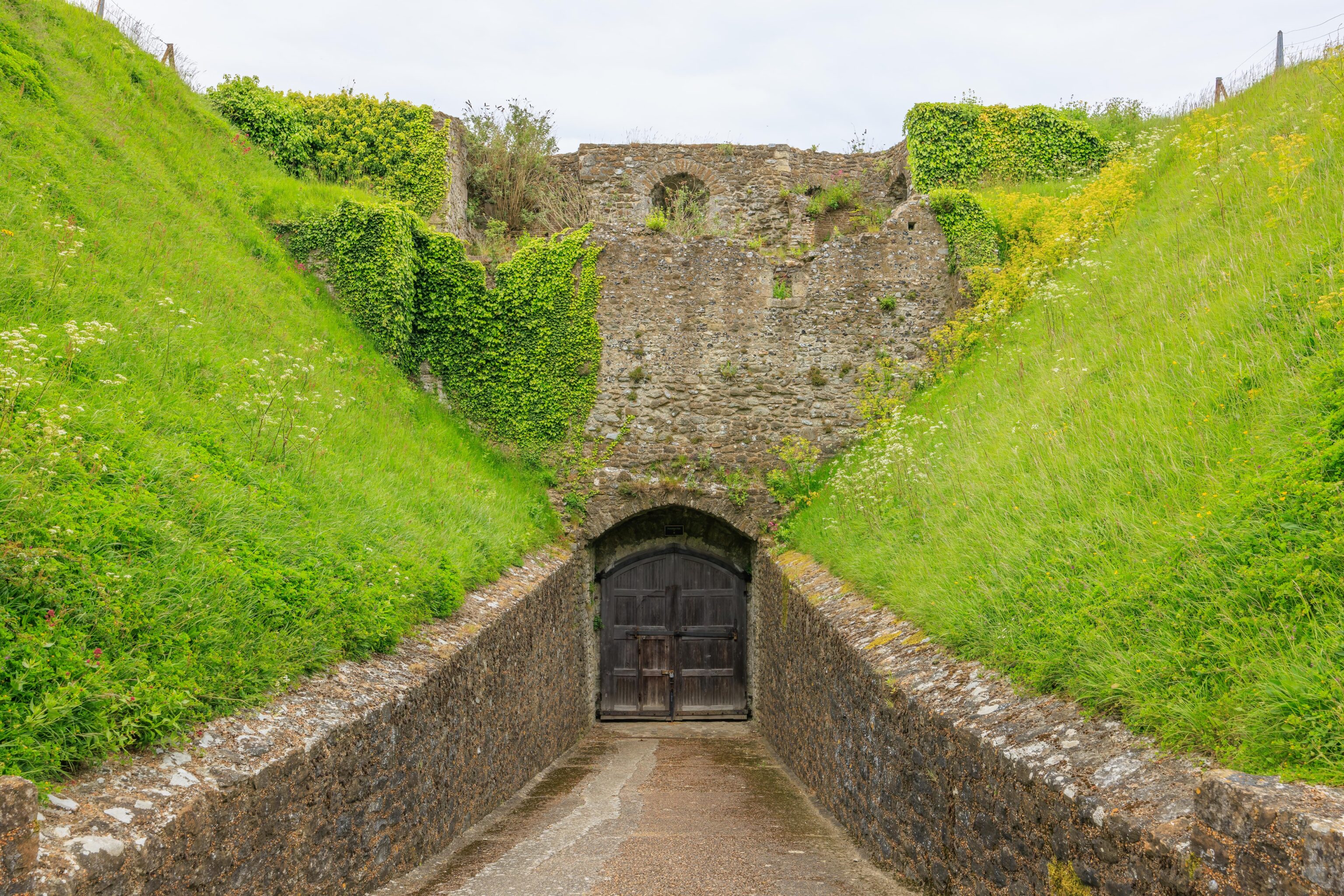
We passed under Colton’s Gate to get to the castle. The gate is from the 13th century, though the upper portion was modified in the 15th century.
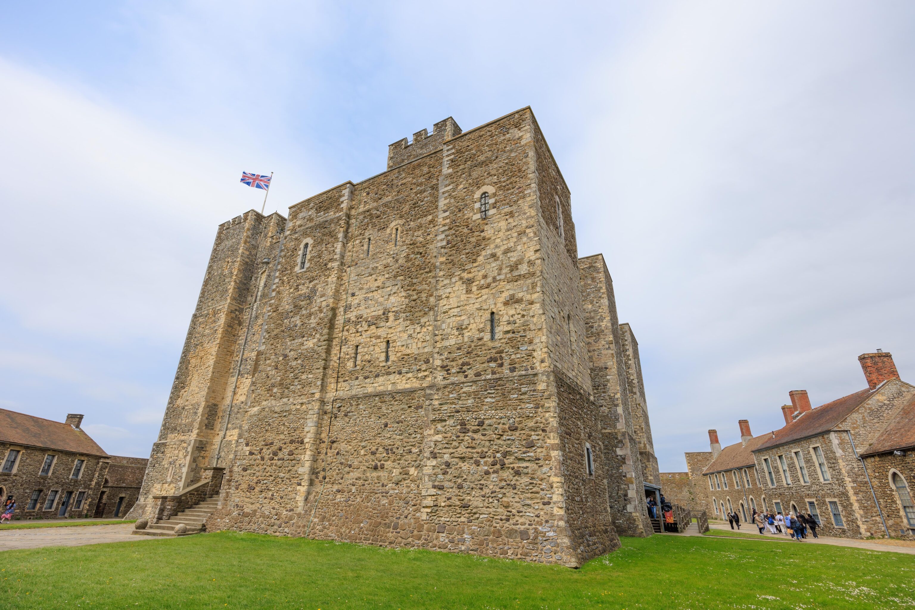
After passing under Colton’s Gate, we went through a gate in a wall surrounding the castle’s keep.
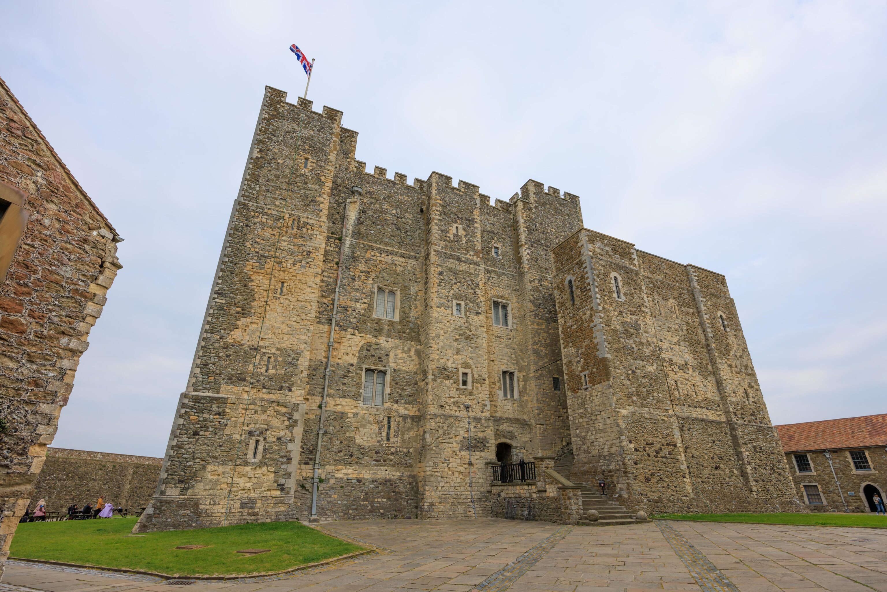
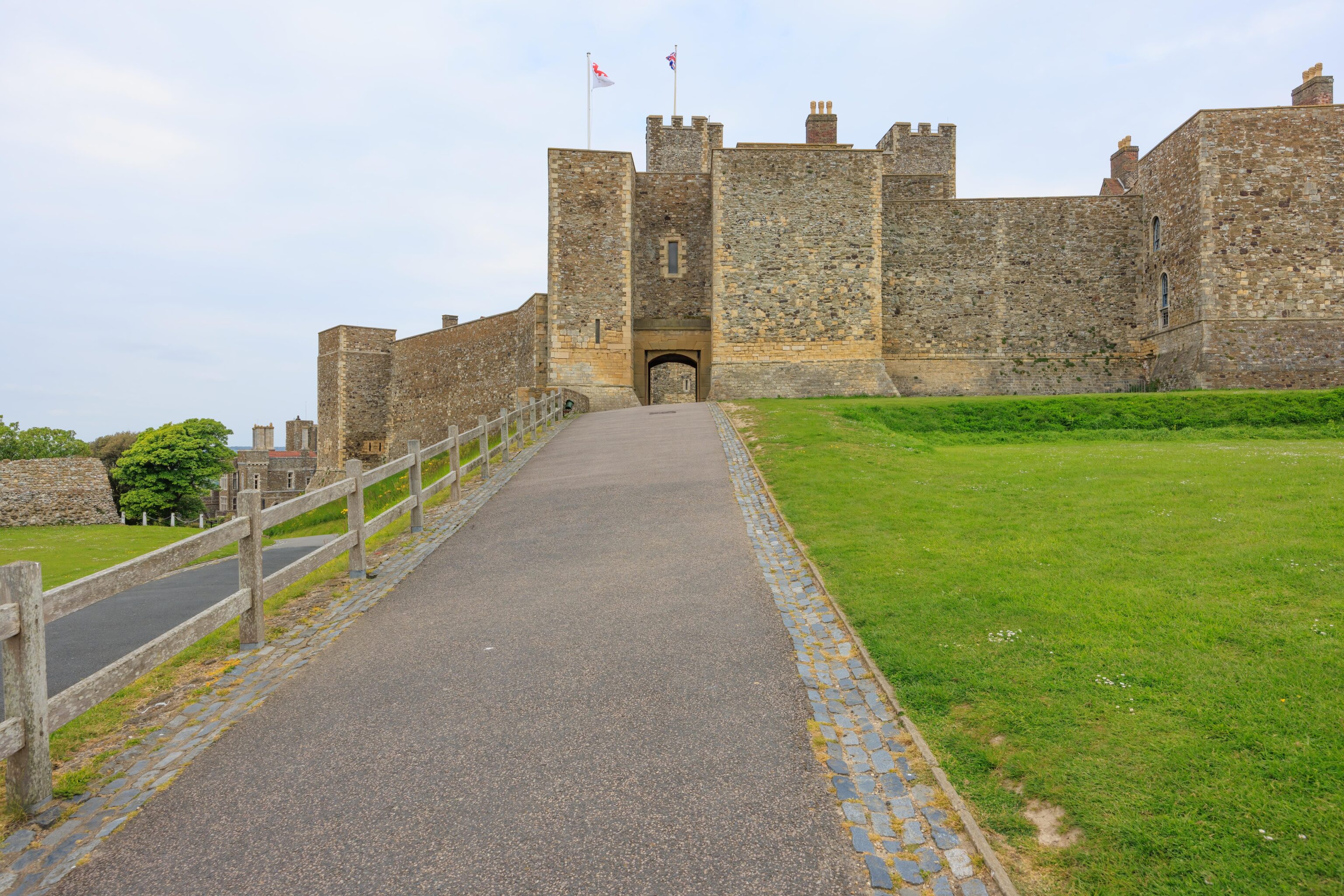
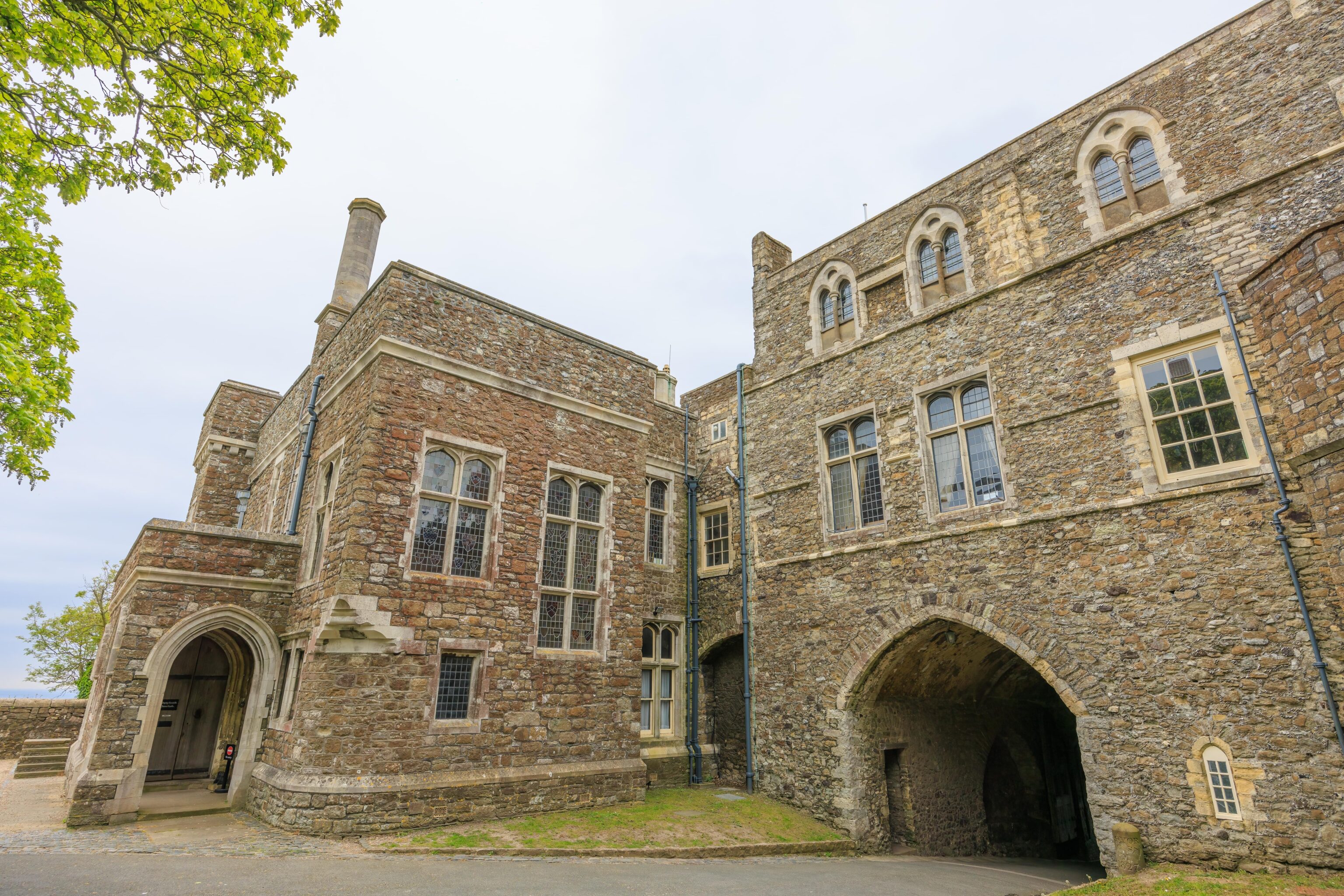
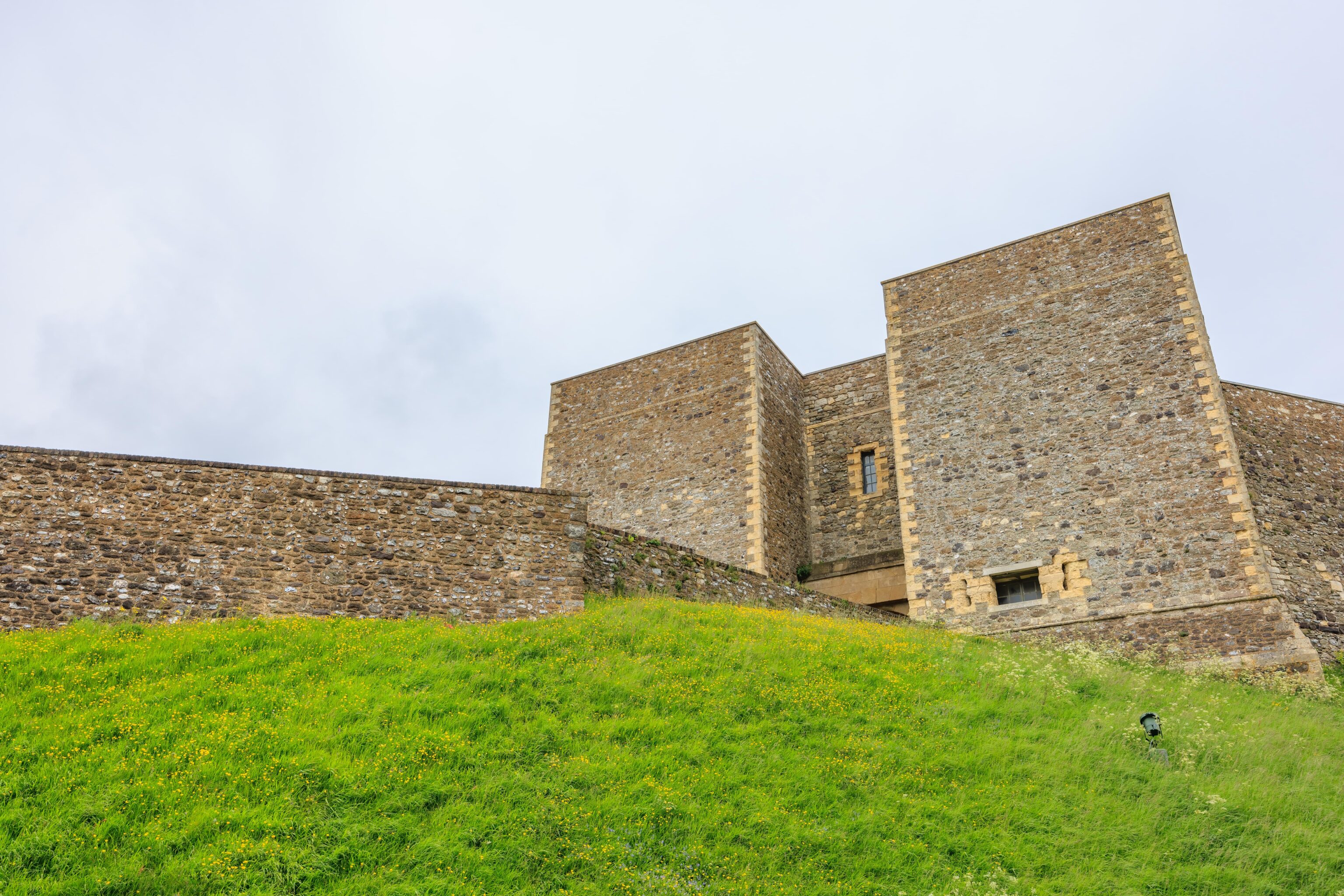
After passing through the wall, we walked up to the entrance to the castle’s keep. Plans of Dover Castle
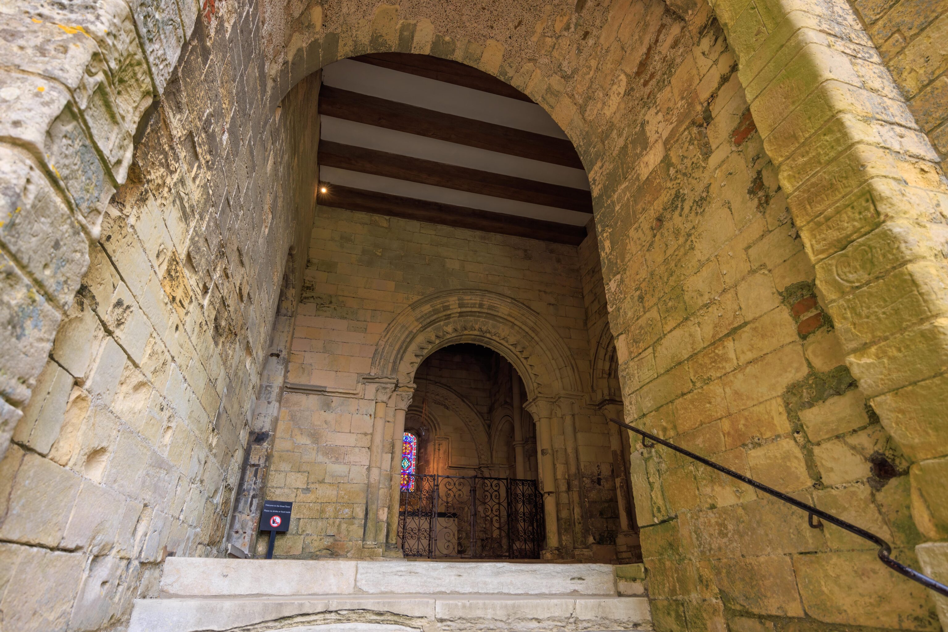
This little chapel was right by the entrance.
We followed some stairs that headed further up into the keep.
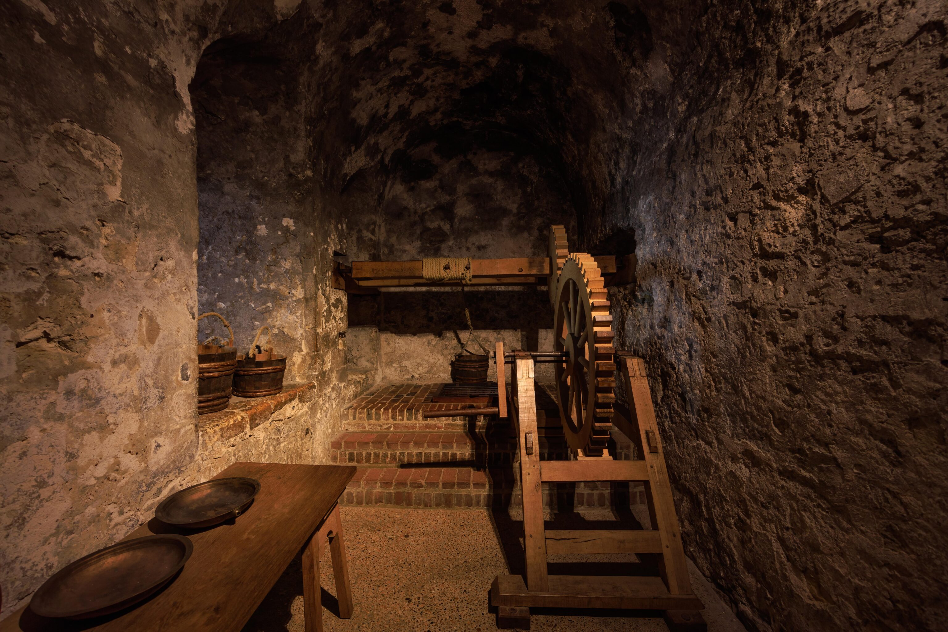
There was a well with a mechanism to pull up the water bucket. Most historic wells that we’ve seen in England during our trip have just been a hole in the ground covered by a modern metal grate for safety. Did they all have a mechanical way to pull up the water or would it have been done manually?
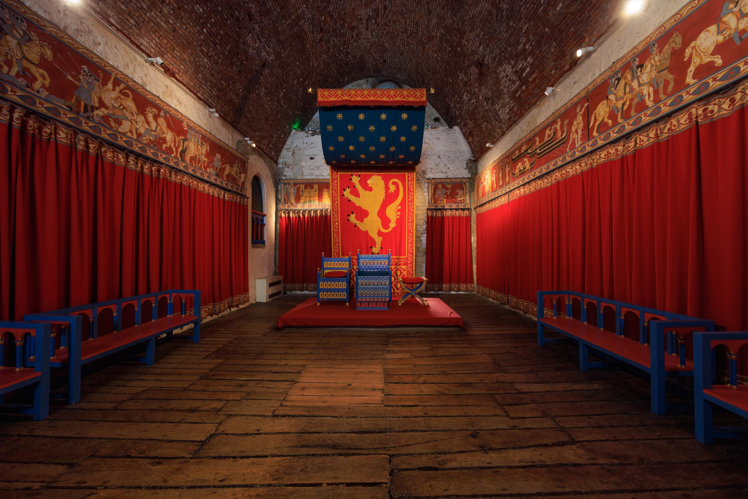
After ascending the stairs, we entered the King’s Hall.
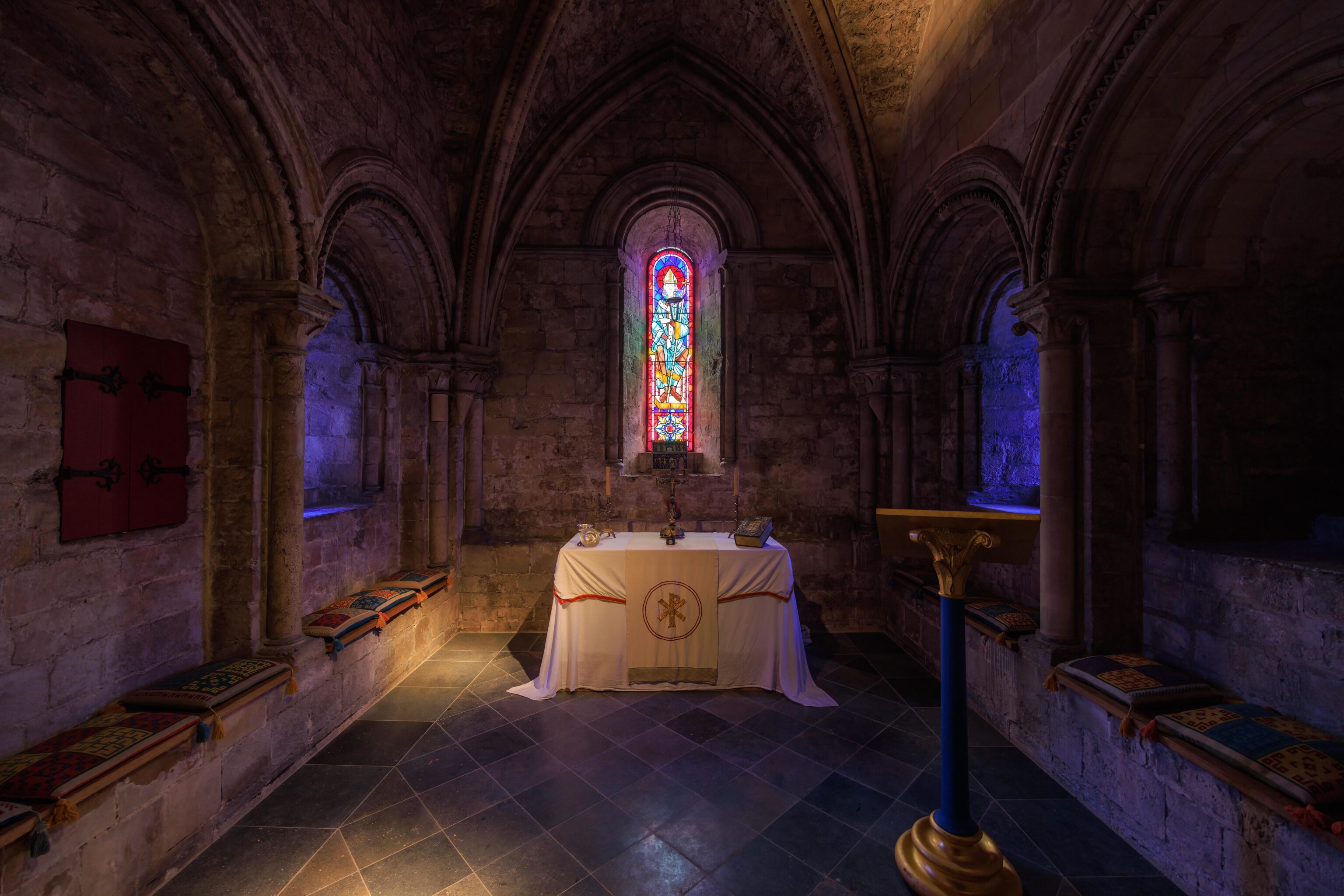
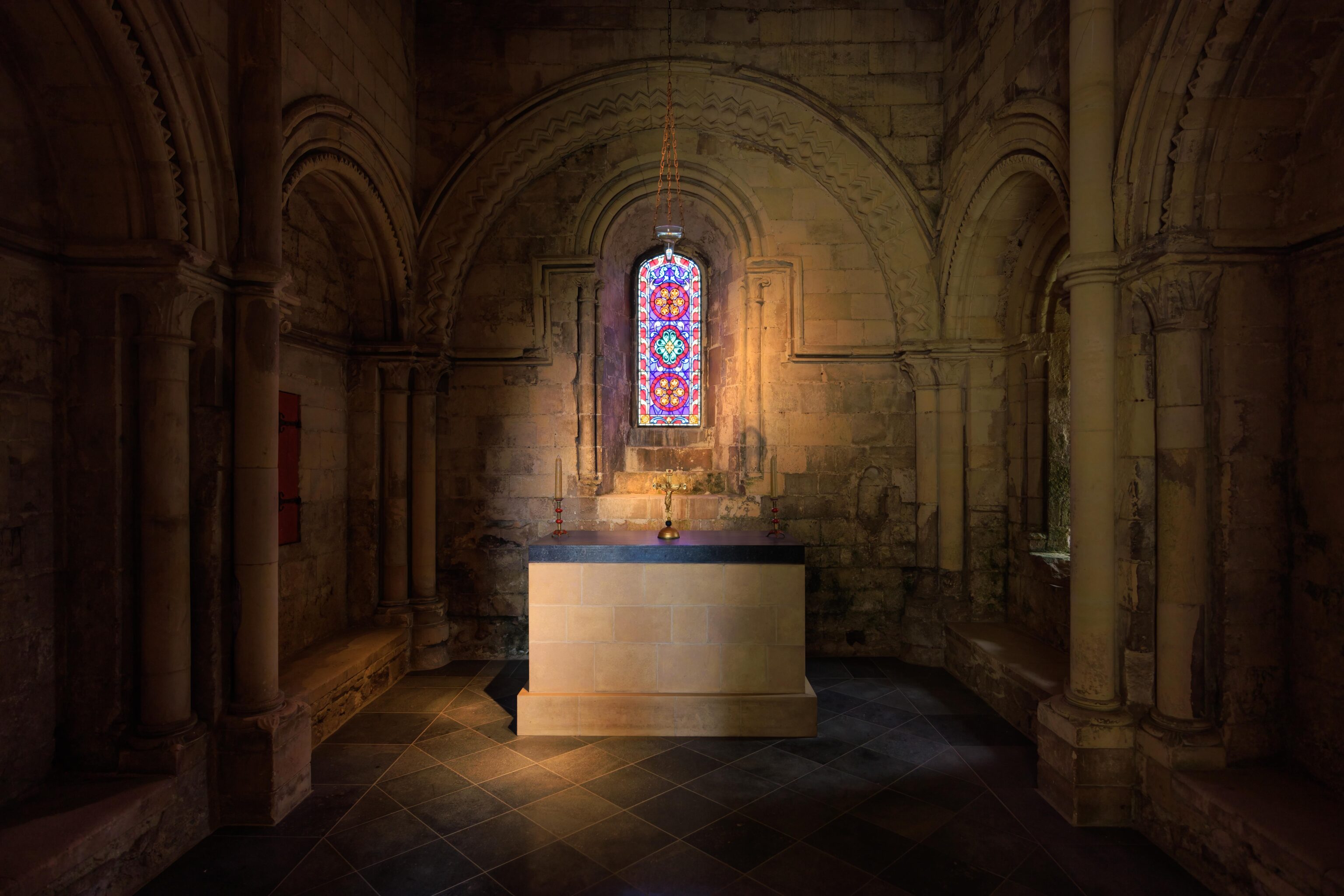
A passageway led to another chapel above the one by the entrance downstairs. The chapel is dedicated to Thomas Becket, Saint Thomas the Martyr. He was murdered in Canterbury Cathedral by King Henry II’s knights. Henry II, Becket and Dover Castle
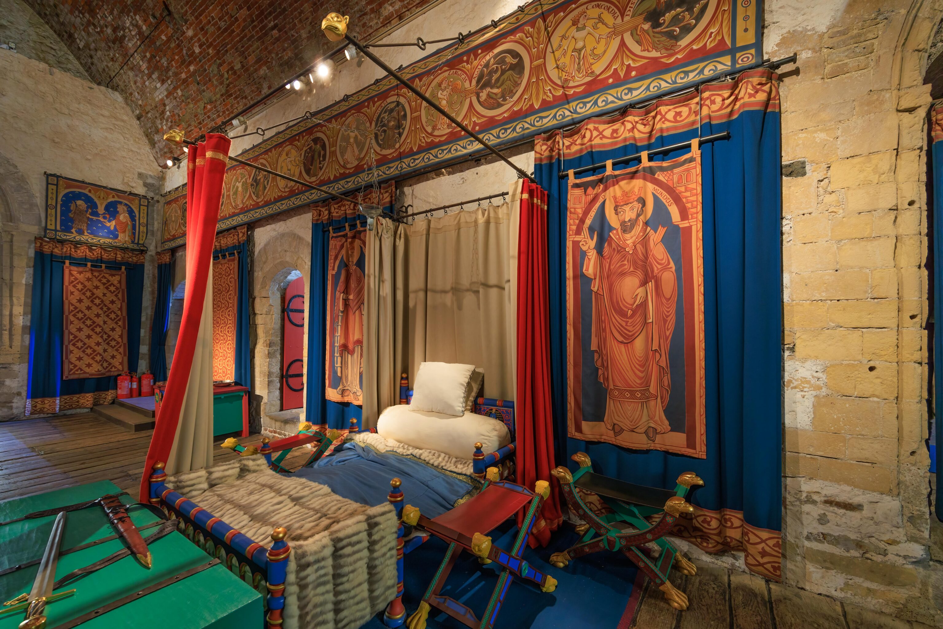
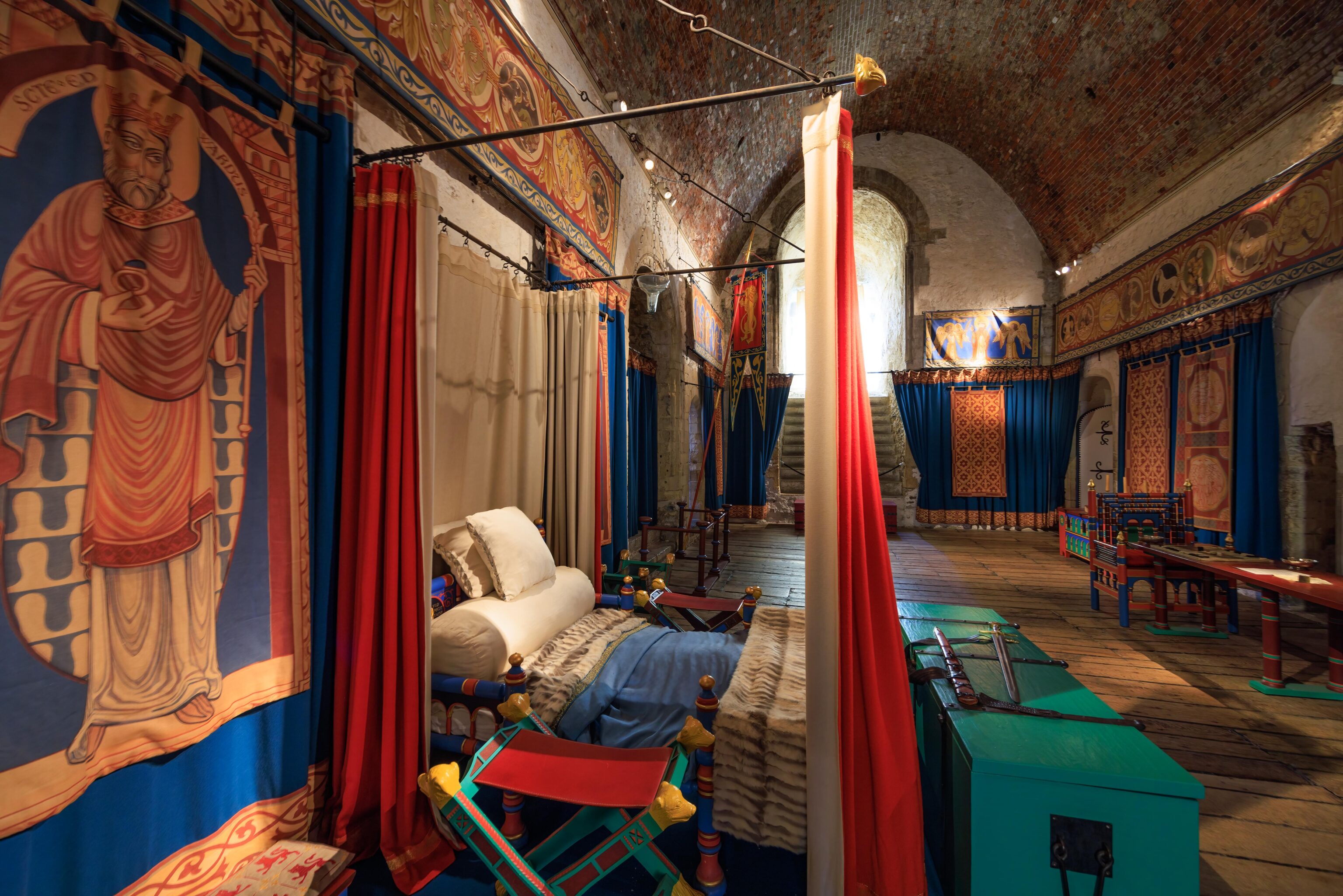
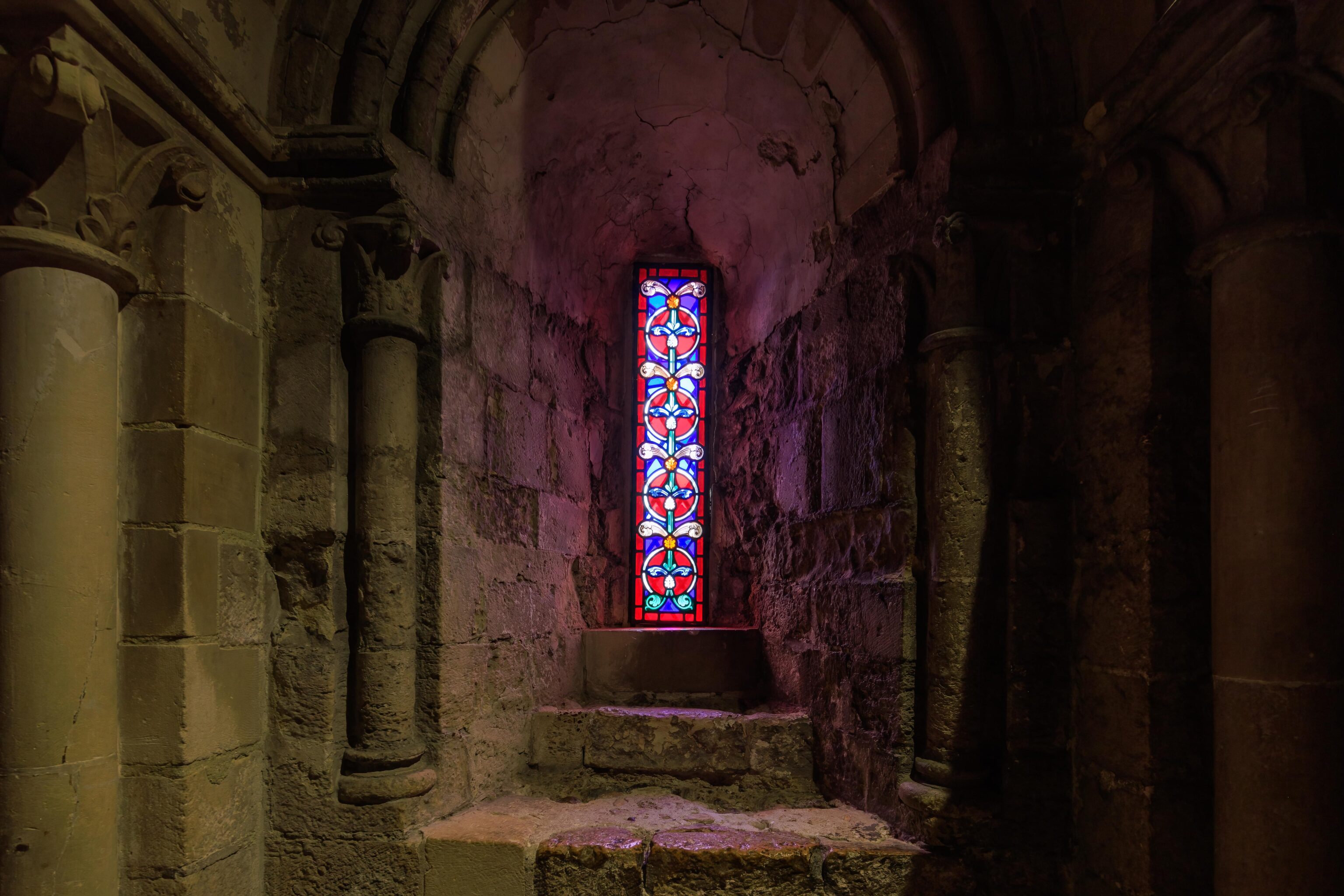
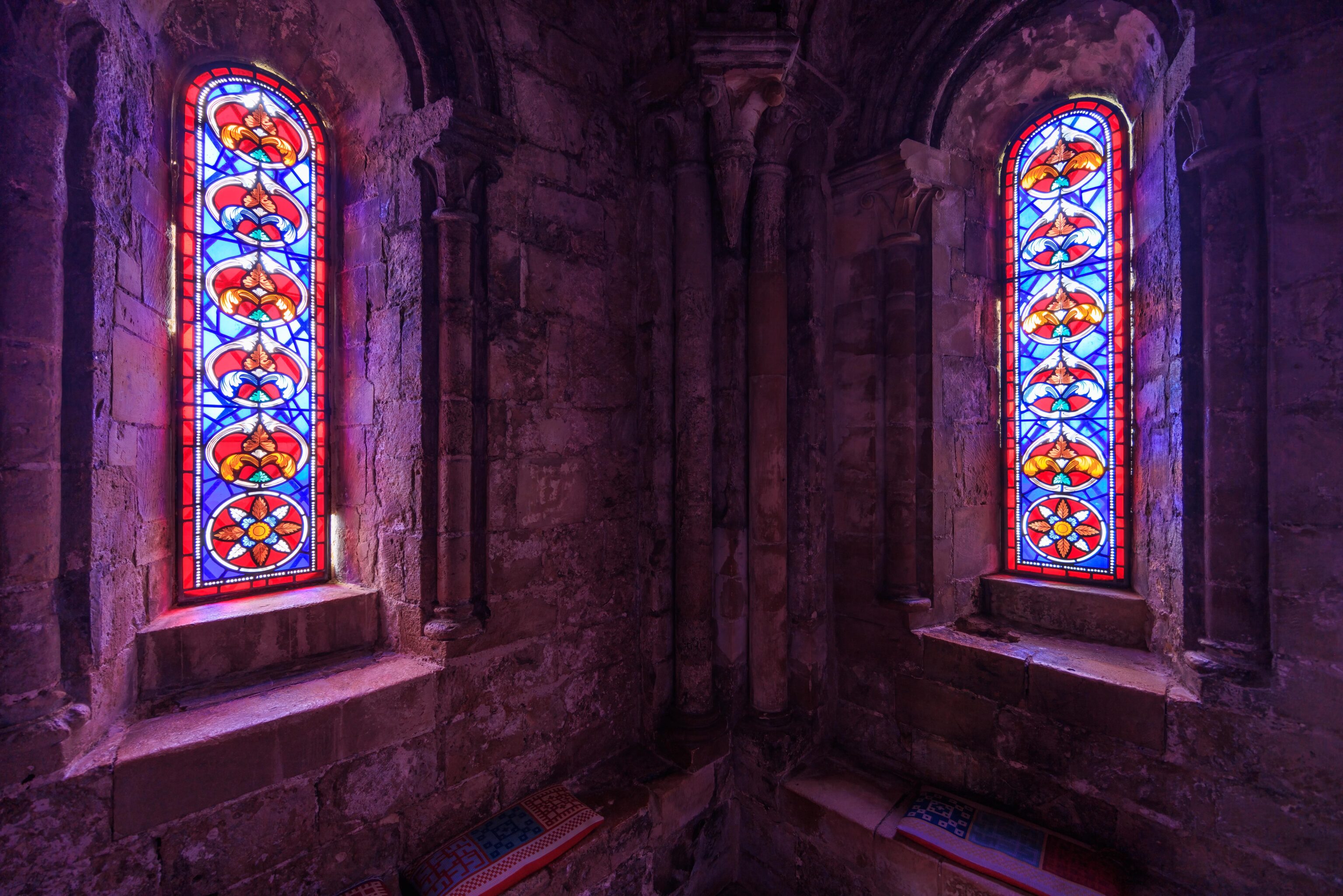
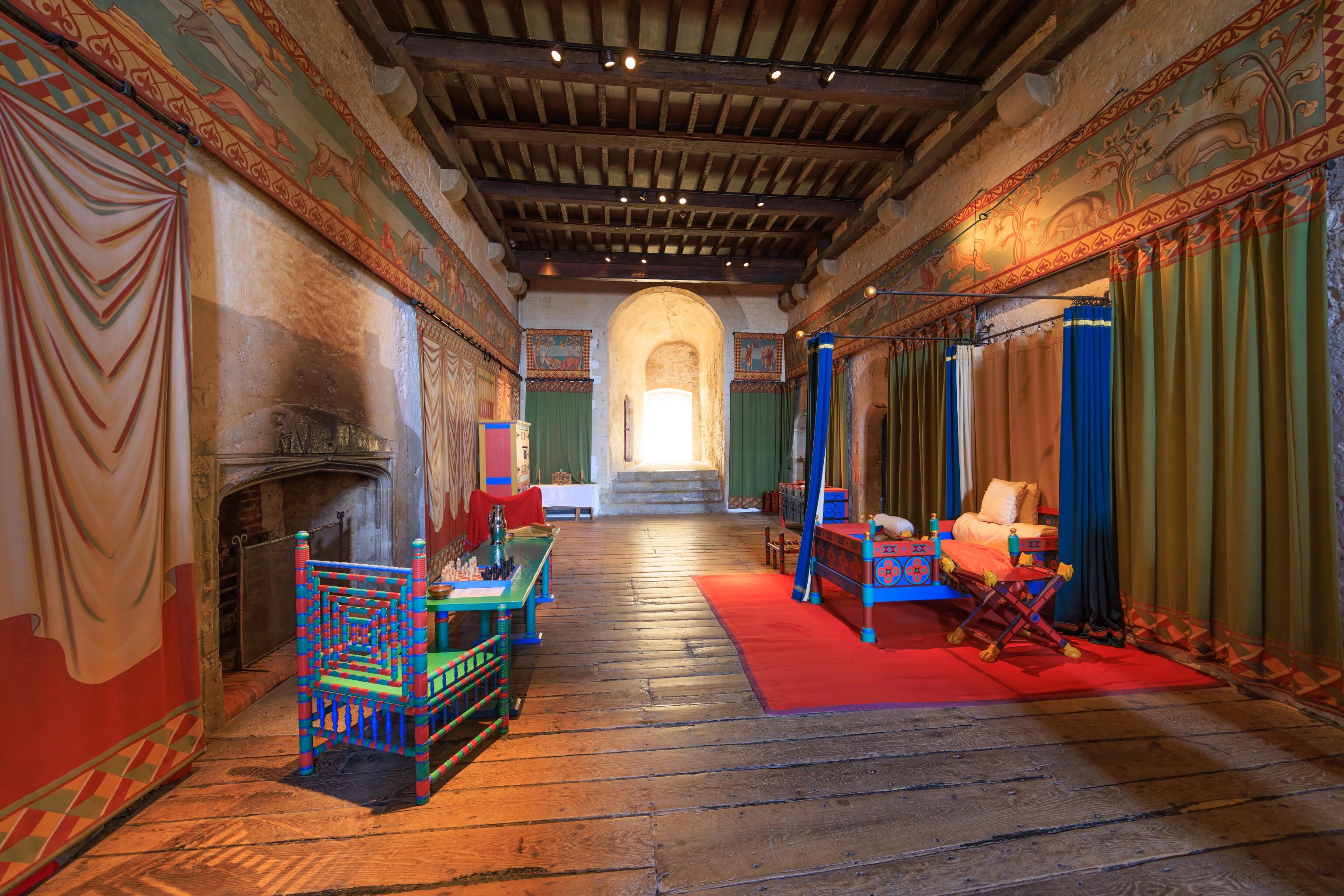
The King’s Chamber is adjacent to the King’s Hall. This room was very colorful. Color was extremely expensive back then. The extensive use of color was to display the King’s wealth.
The docent in this room, as well as in a later room, gave good explanations of how bedrooms like this one would have been used historically. The King, or whoever the bedroom was for, would have slept on the bed in a upright, partially reclined position. It would have been uncomfortable and bad for the back. Servants would have slept in the same room but on the floor, possibly on some sort of mat.
The wall by the fireplace was blackened by fire.
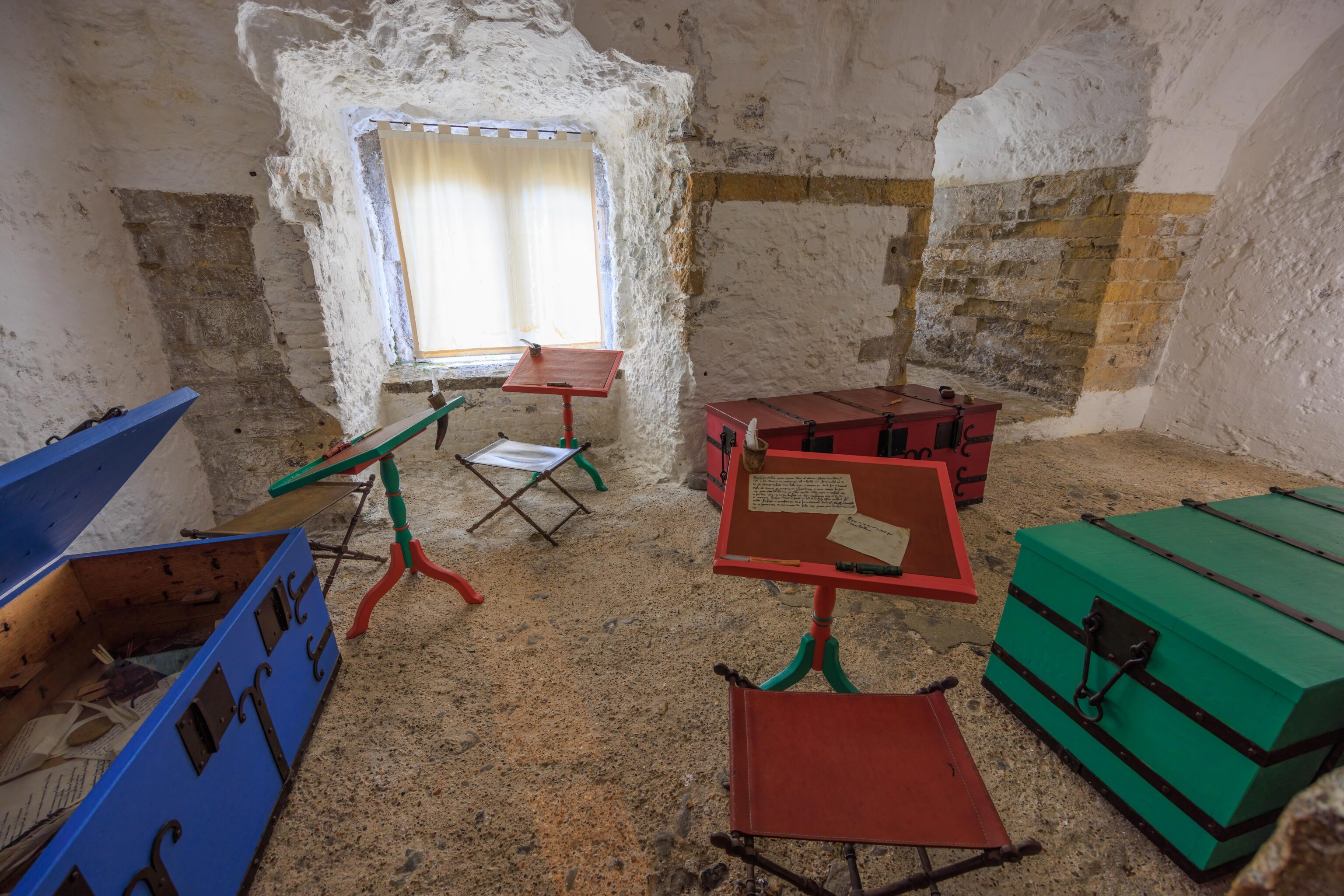
This adjacent room had some tables for writing.
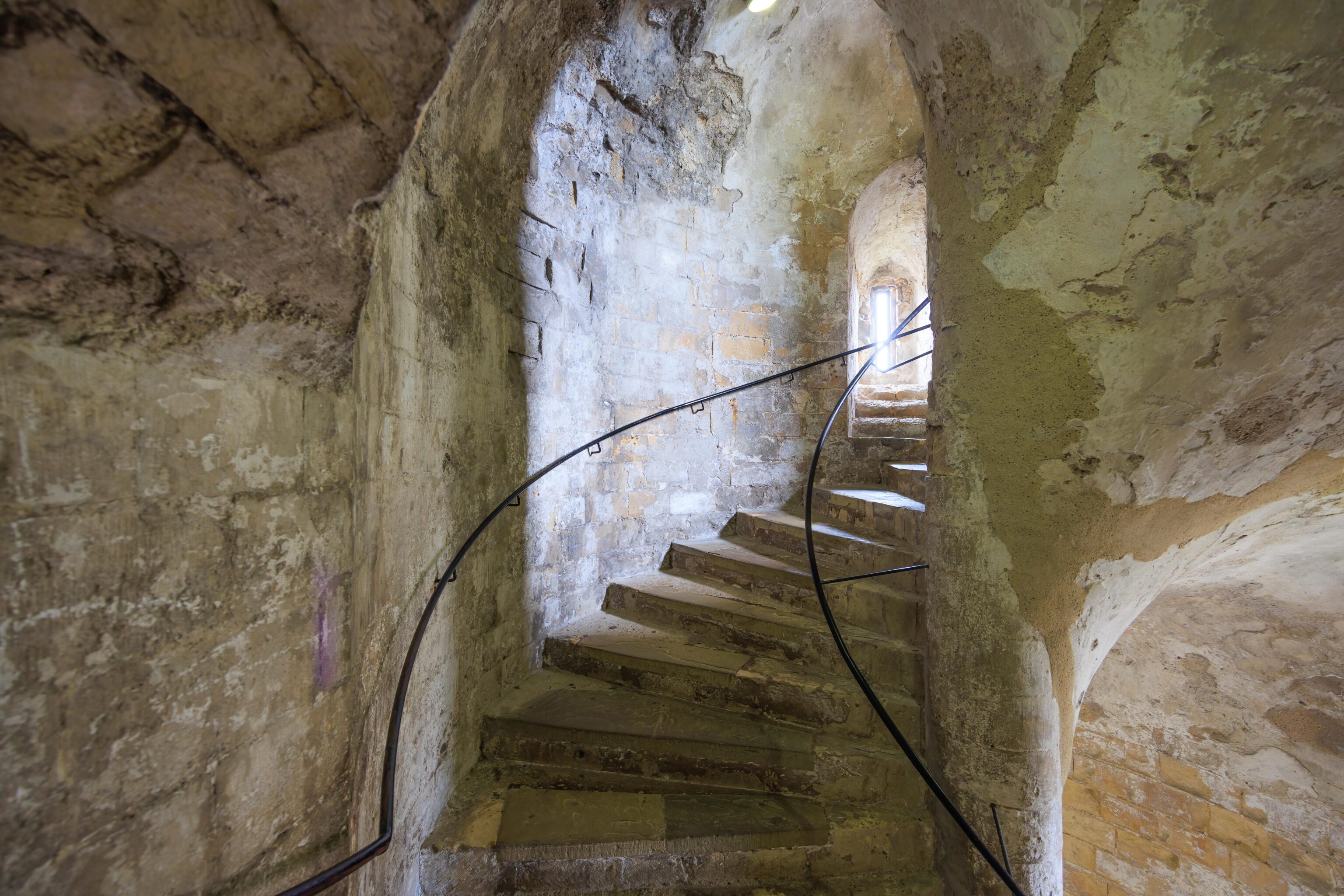
We headed up via circular stairs.
The stairs led to the roof of the castle.
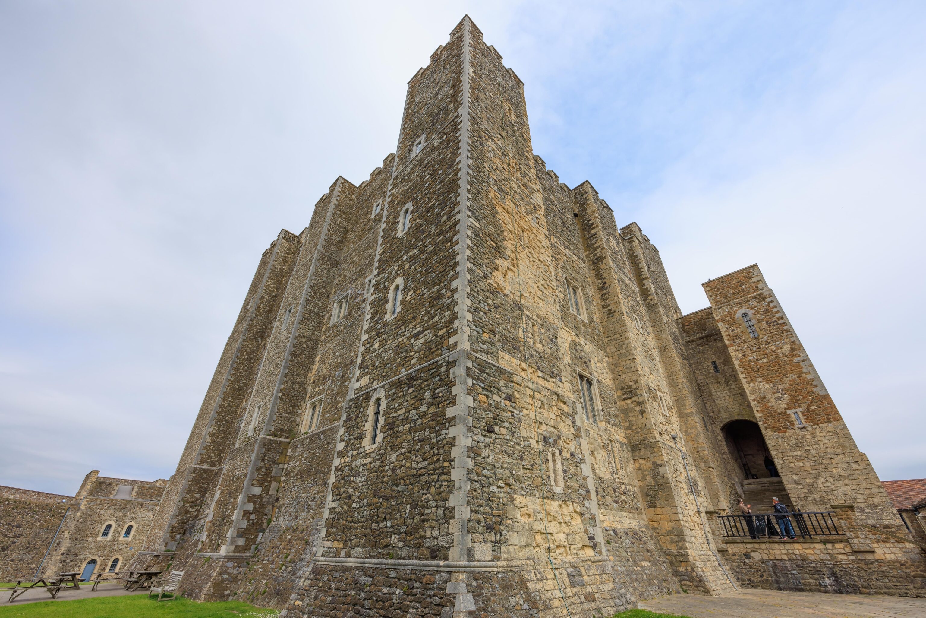
The castle’s walls up at the top have a stereotypical castle appearance.
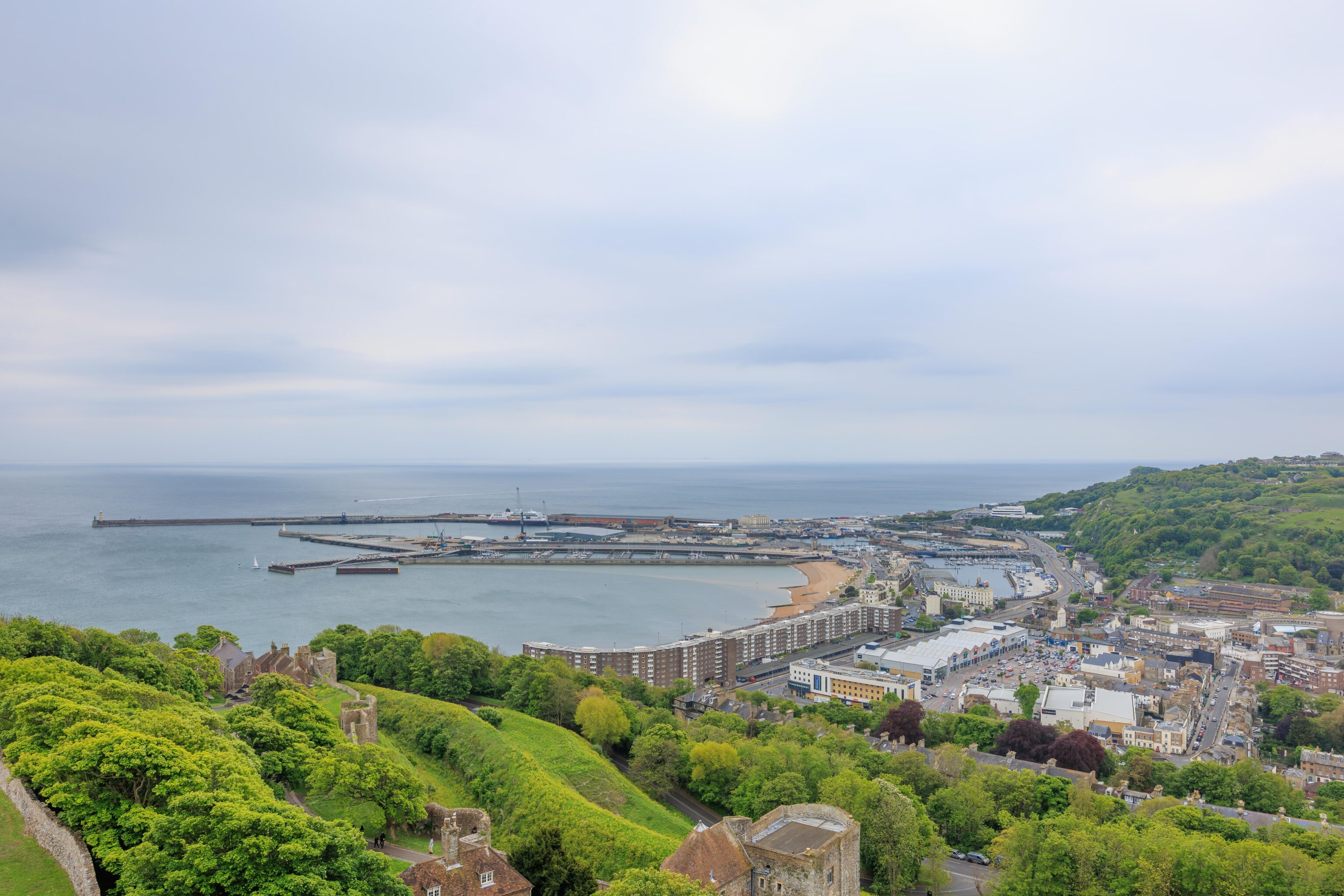
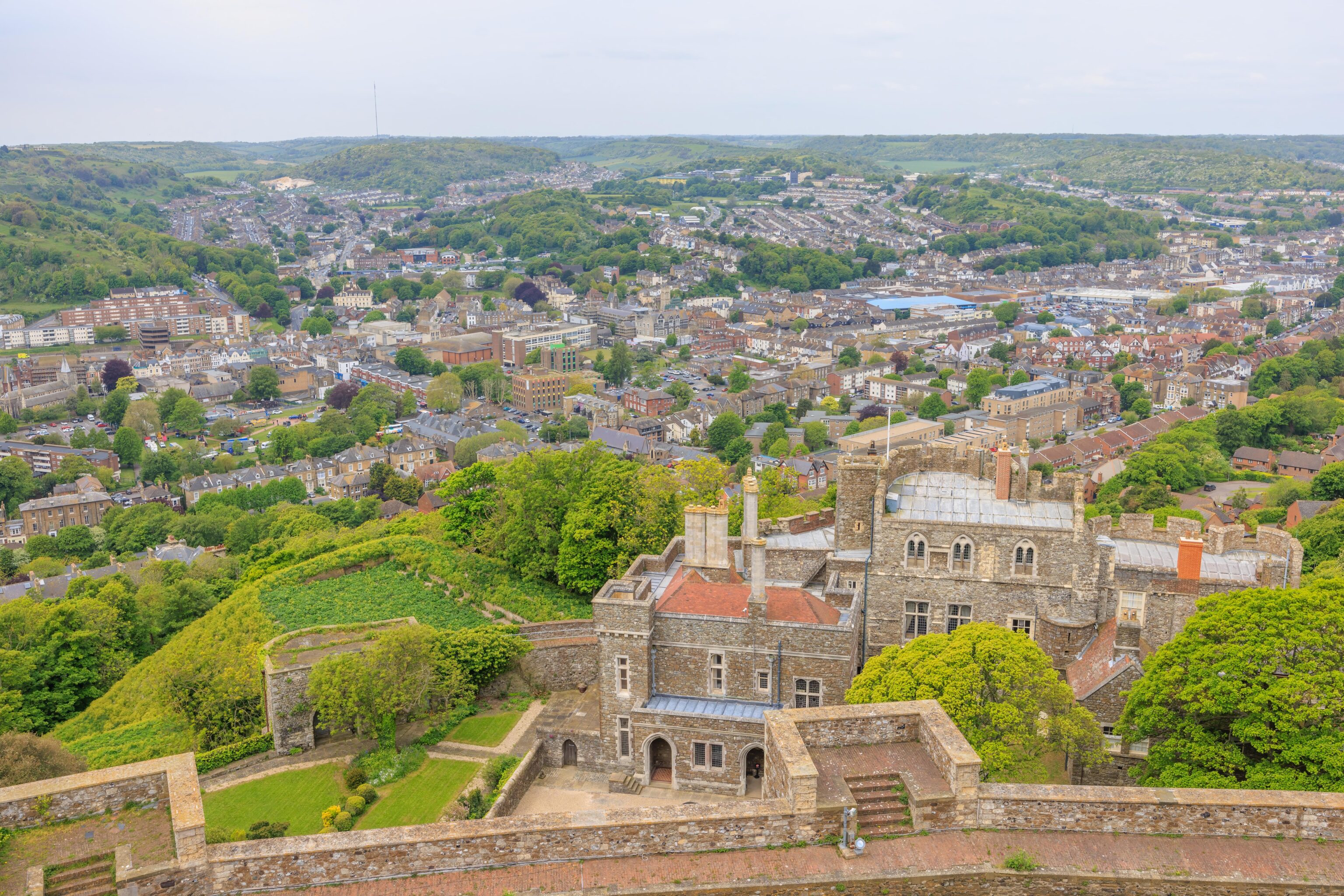
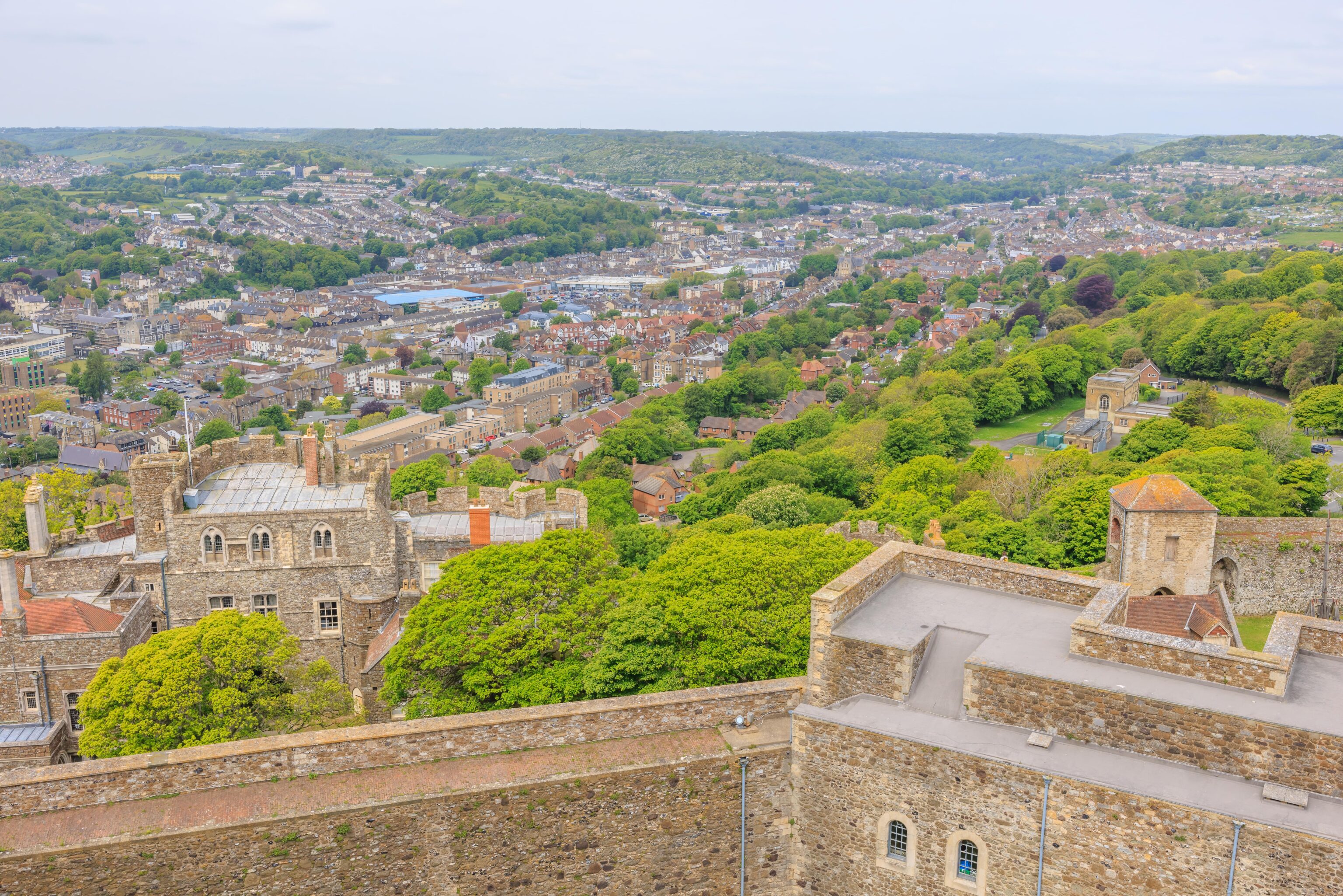
We could see the western portion of Dover’s harbor from the southwest side of the castle as well as much of the modern day town. The castle building on the right is Constable’s Gate. It contains a gate with a road running through it, though it was not the one we used to enter the castle grounds. The building was used as a residence for the castle’s constable.
The view to the northwest shows the rear gate to the inner bailey directly below. The entrance to the medieval tunnels is just beyond, though not visible as its blocked by the gate.
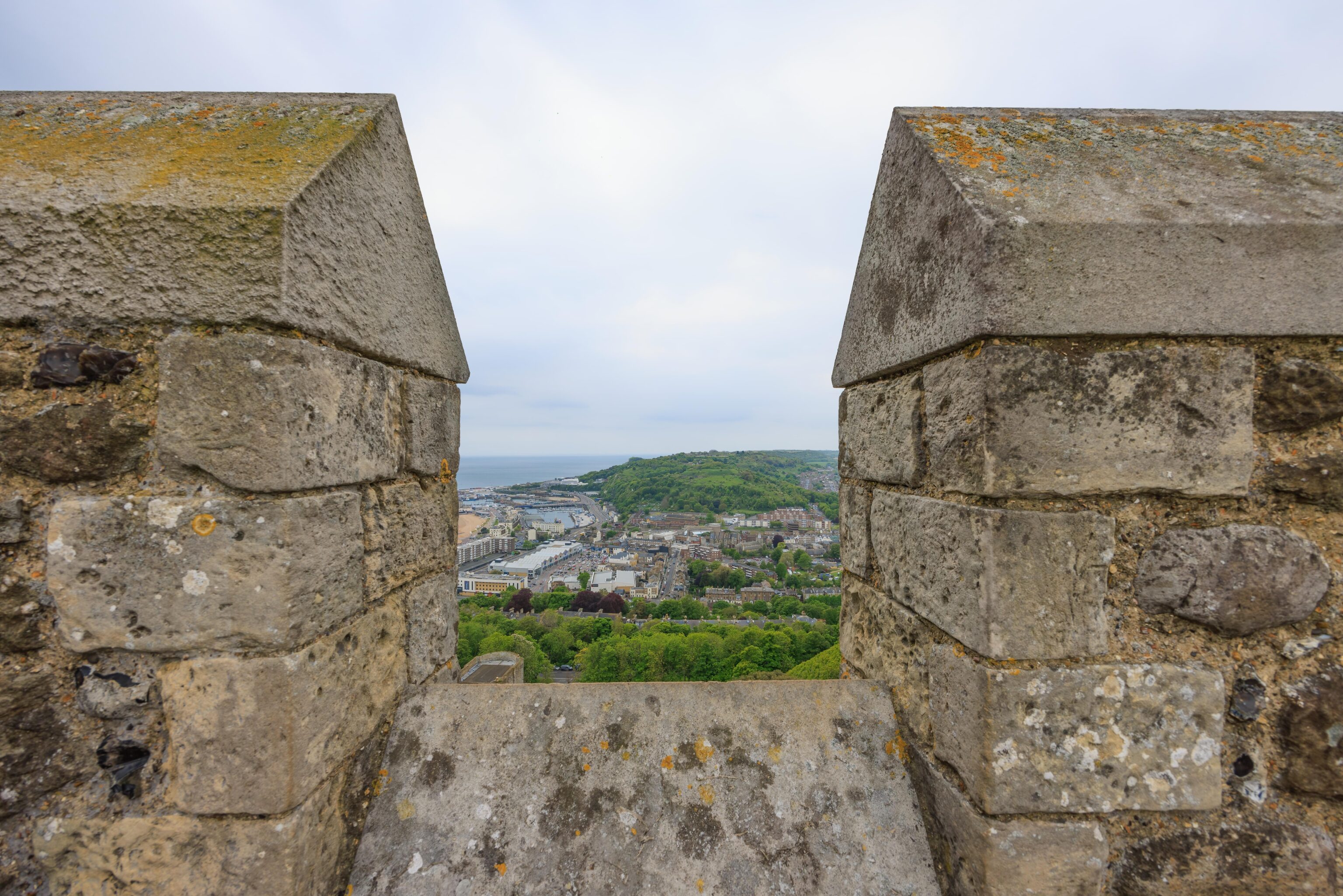
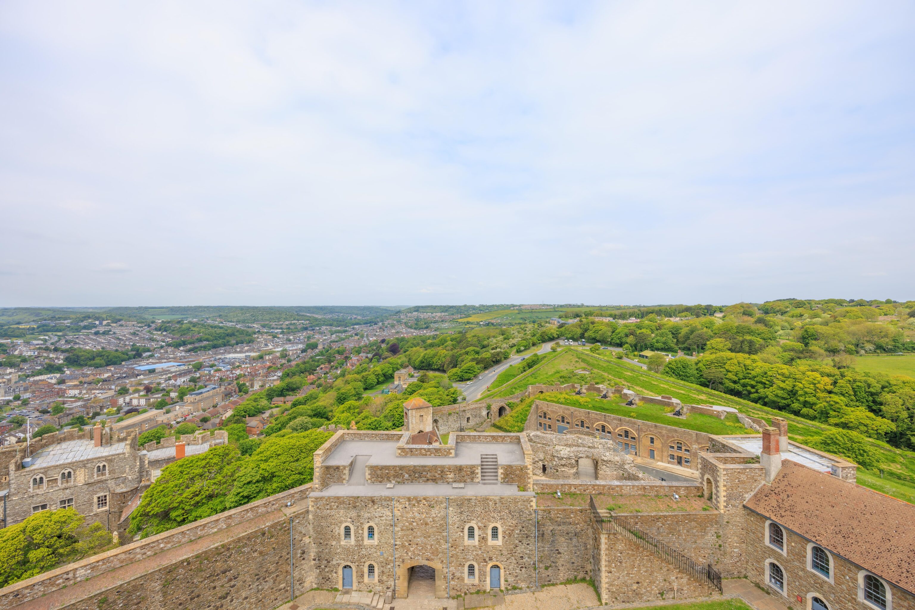
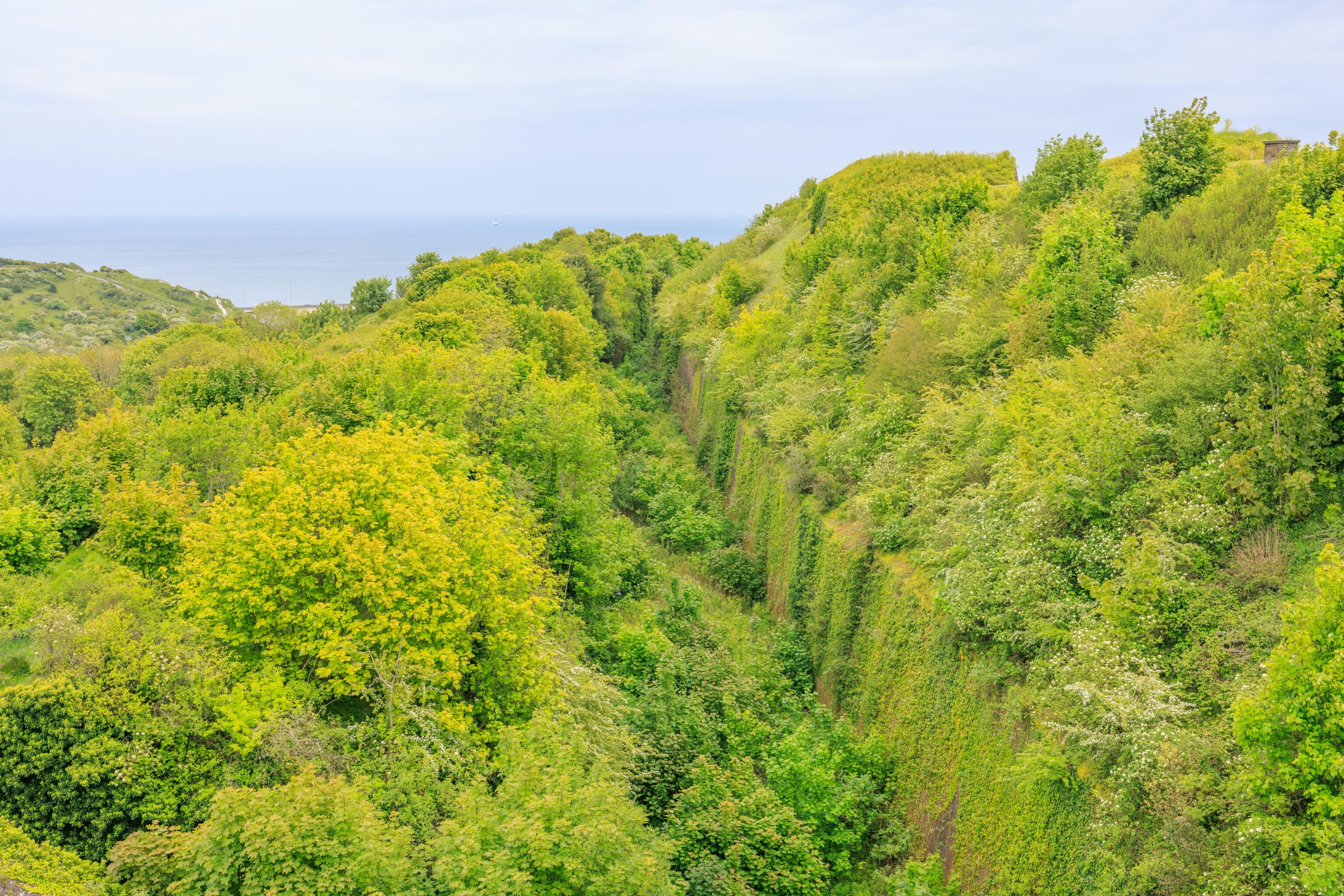
The view to the northeast mostly shows rural land above the White Cliffs of Dover. The English Channel is visible on the right as well as a bit of the eastern portion of the harbor where the ferry port is located.
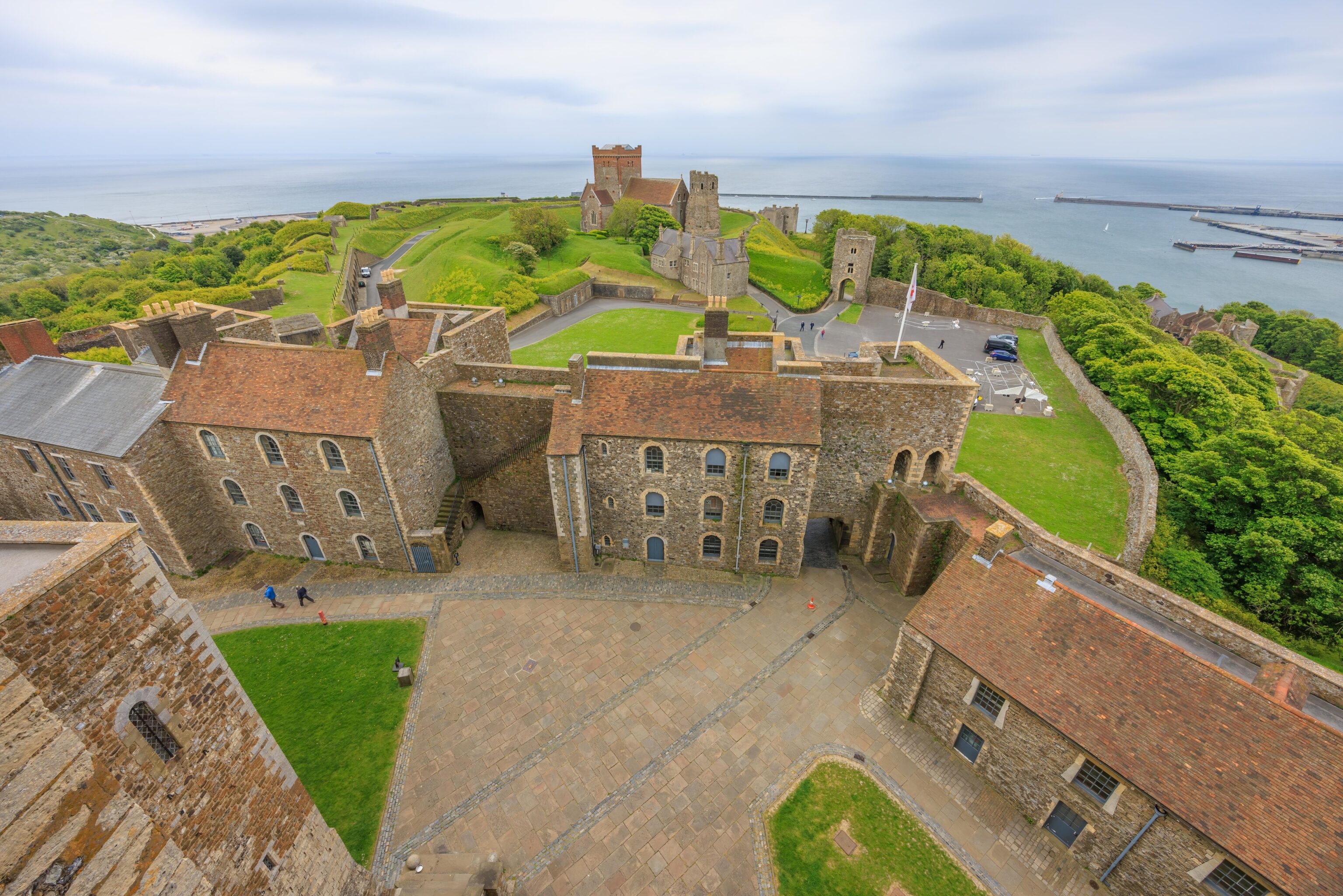
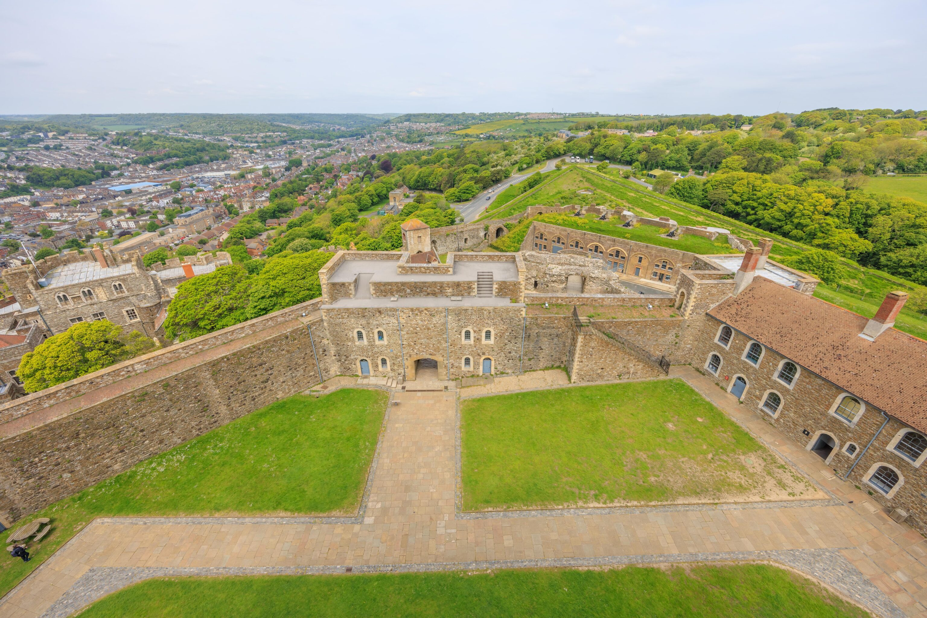
The final southeastern edge faces the keep’s front entrance. The Roman lighthouse and St. Mary in Castro are on a small hill. The structures beyond, including where we parked, are blocked by the hill.
We took a different set of circular stairs down,
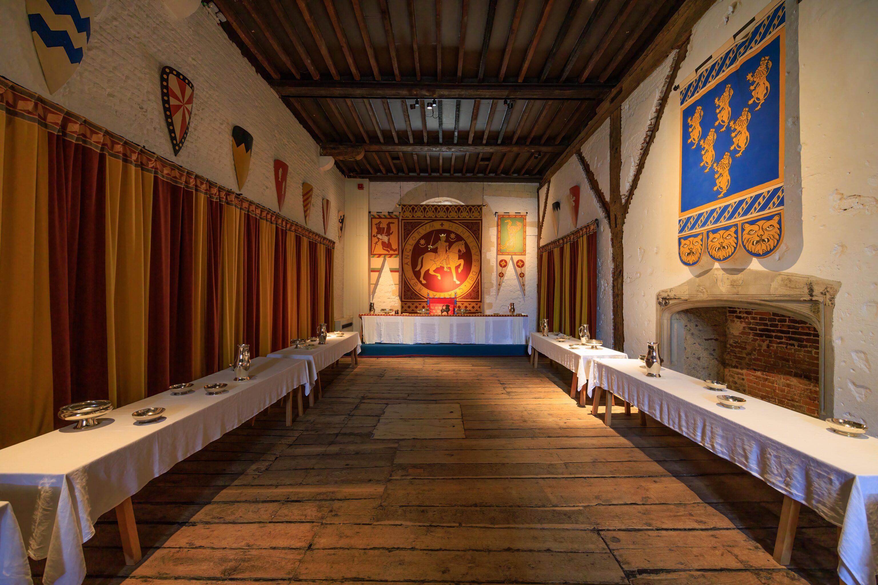
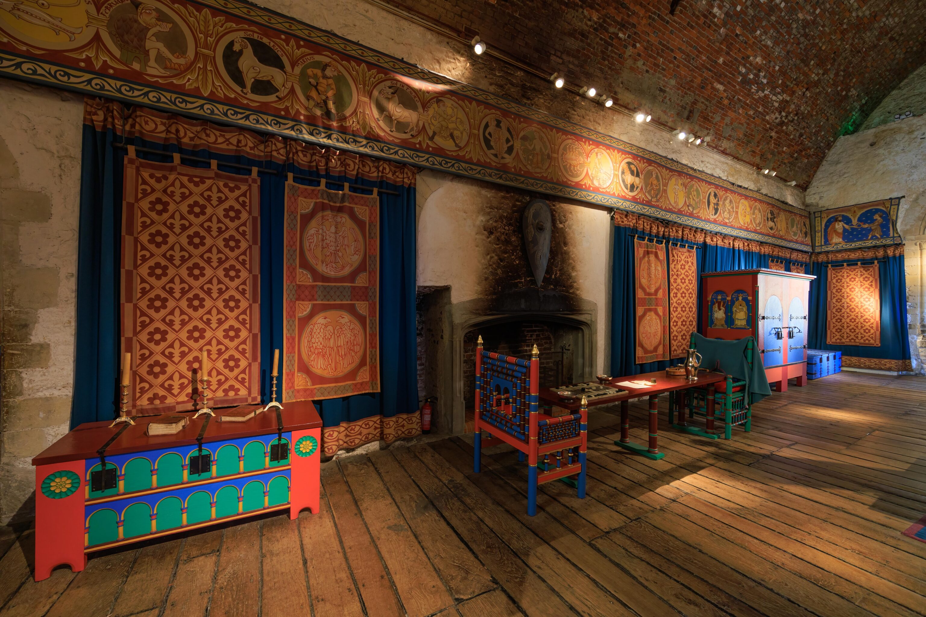
The Lower Hall was setup as a dining room.
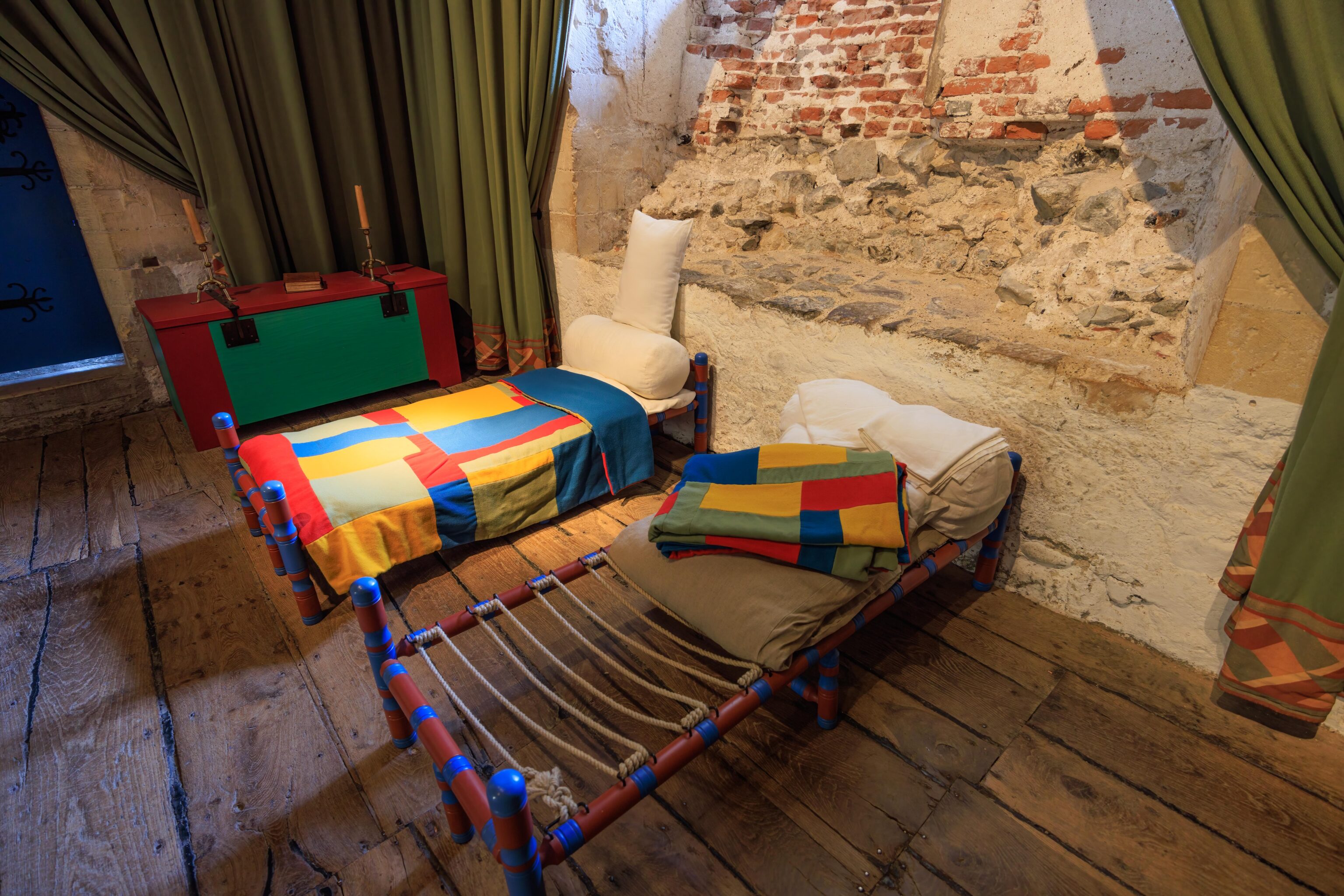
The adjacent room, directly underneath the King’s room, was setup for an important guest. Like the King’s room, there was quite a bit of color on the furniture and the walls. This room had two smaller beds for the guest’s primary servants. They would have slept lying down. The remaining servants would have slept on the floor.
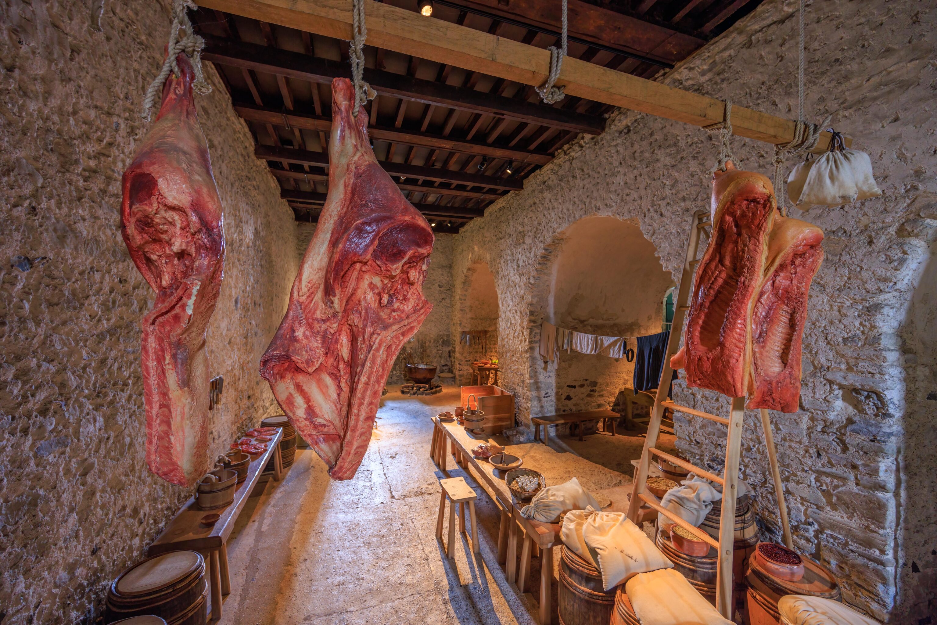
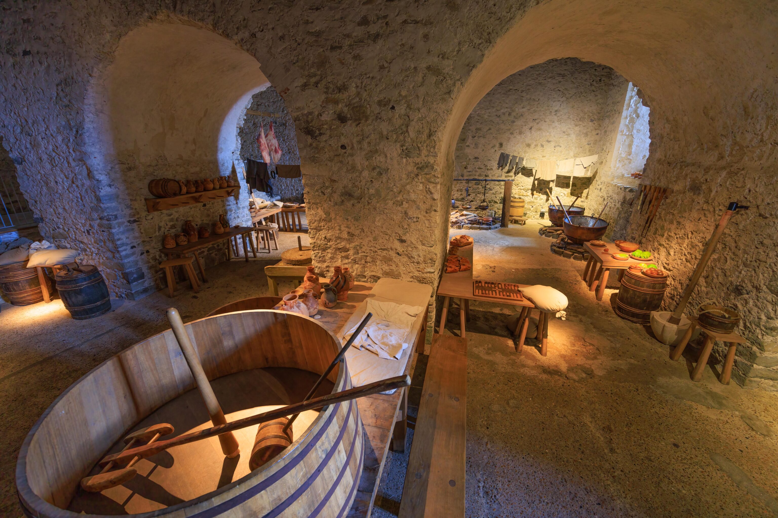
A large kitchen was below, on the ground floor.
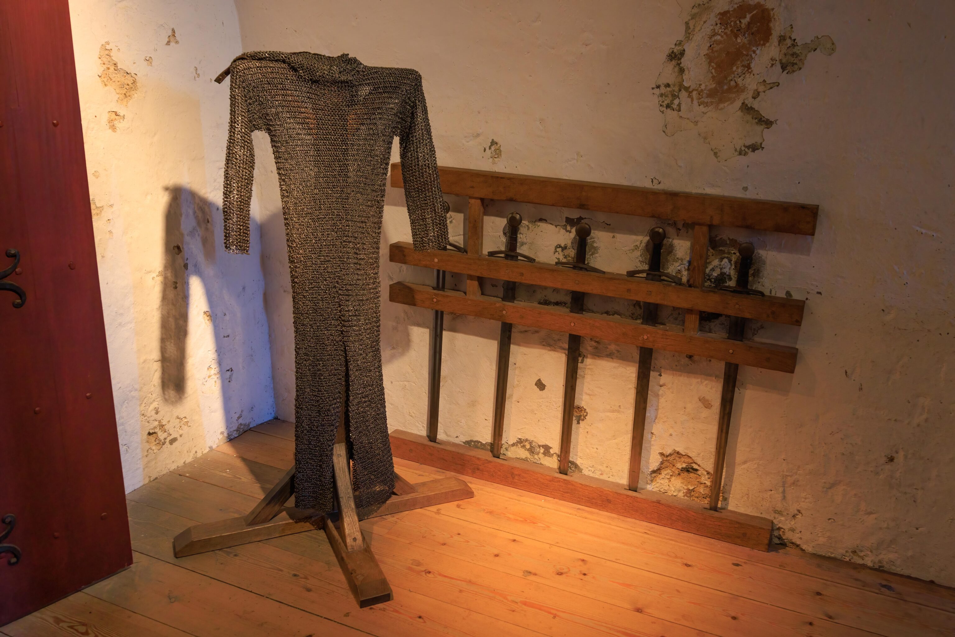
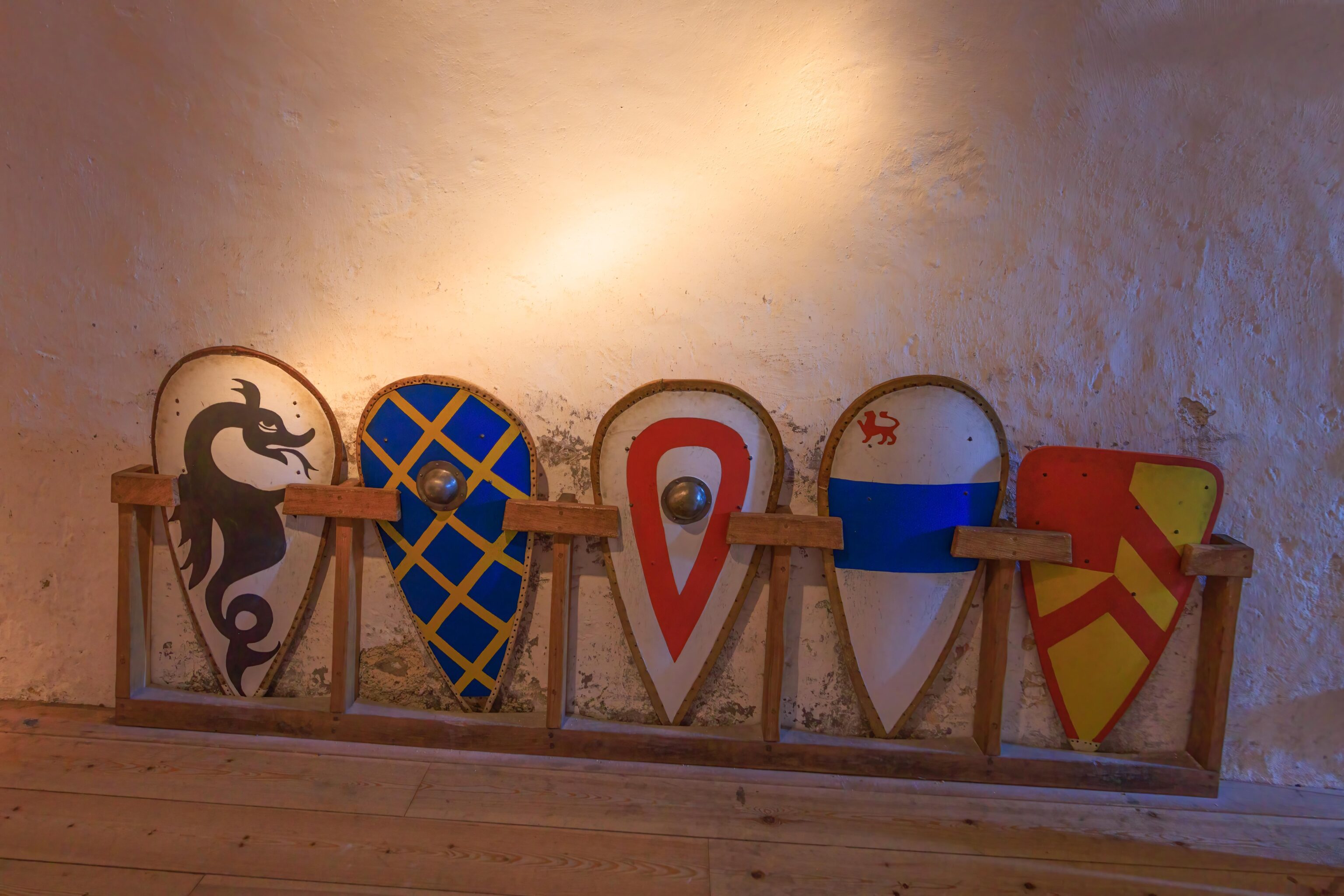
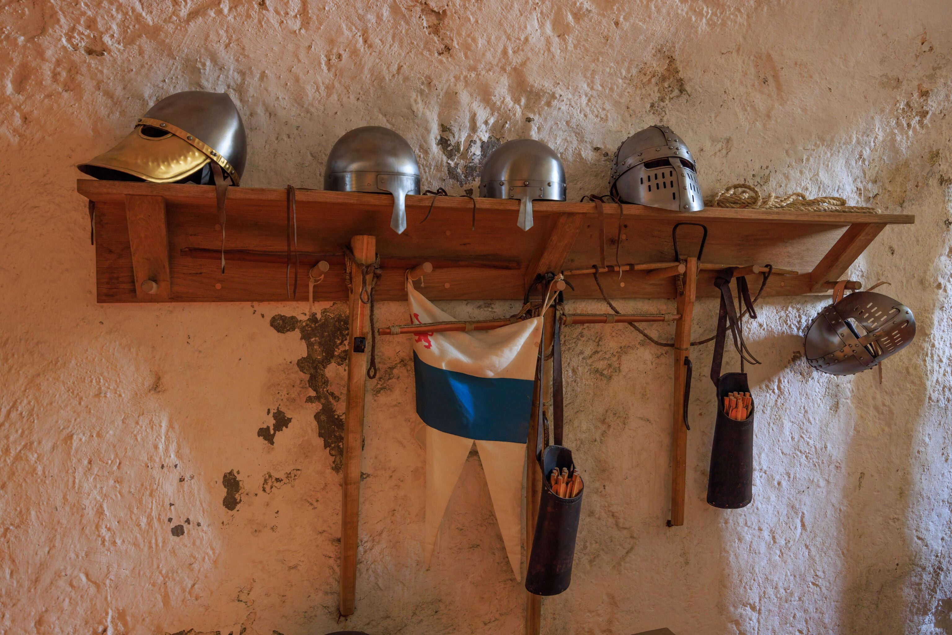
There were also other smaller rooms. This room contained some weapons and armor.
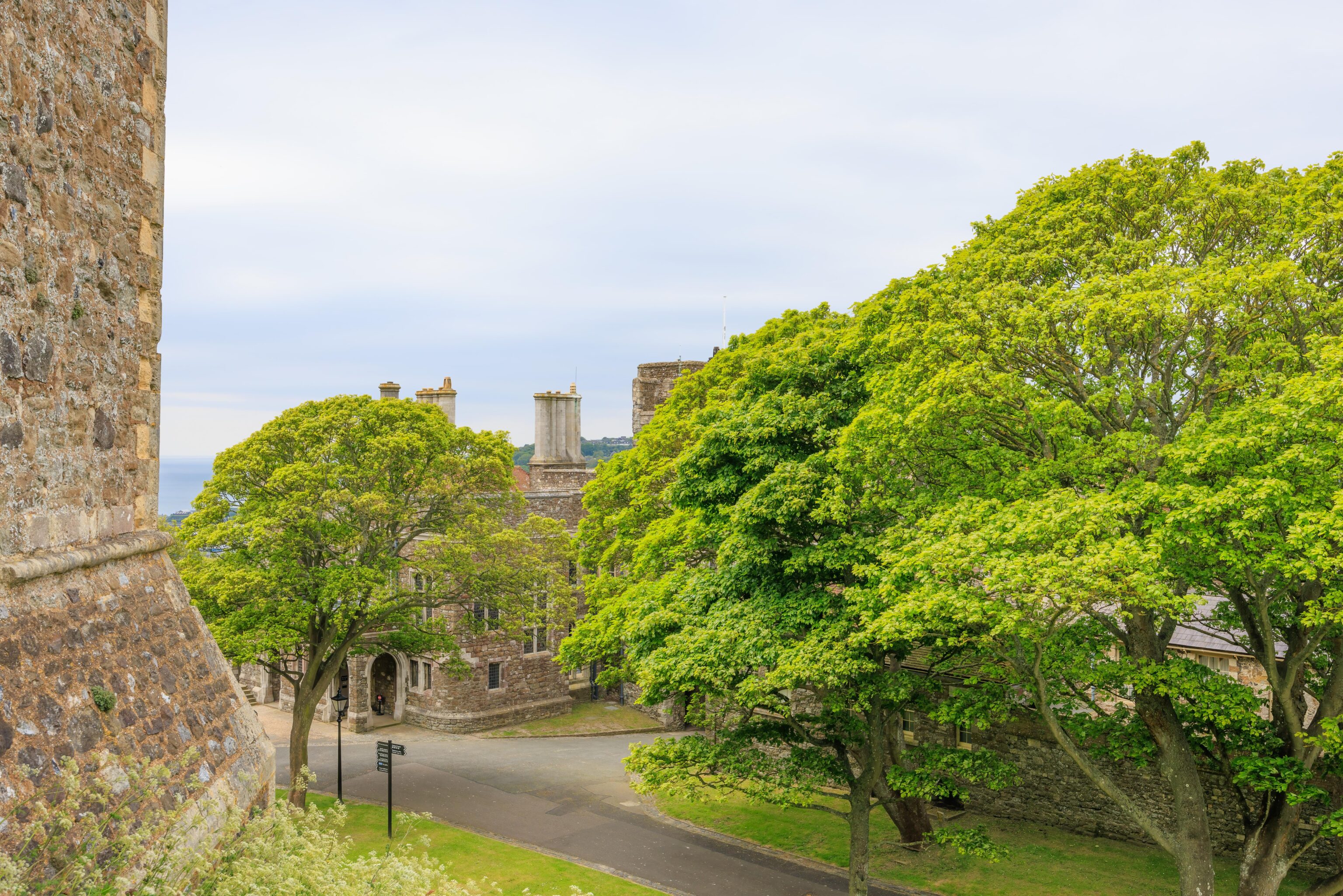
After exiting, we walked around to see what else was in the inner bailey. We walked through the Princess of Wales’s Royal Regiment and Queen’s Regiment Museum. It held some artifacts as well as dense informational displays but nothing seemed to indicate why these regiments are important. There was also a smaller museum that had information about the castle. The castle keep didn’t have too much in the way of signage, which helped preserve its historical appearance. Our final stop within the inner bailey was the gift shop and adjacent cafe. The food was simple but decent.
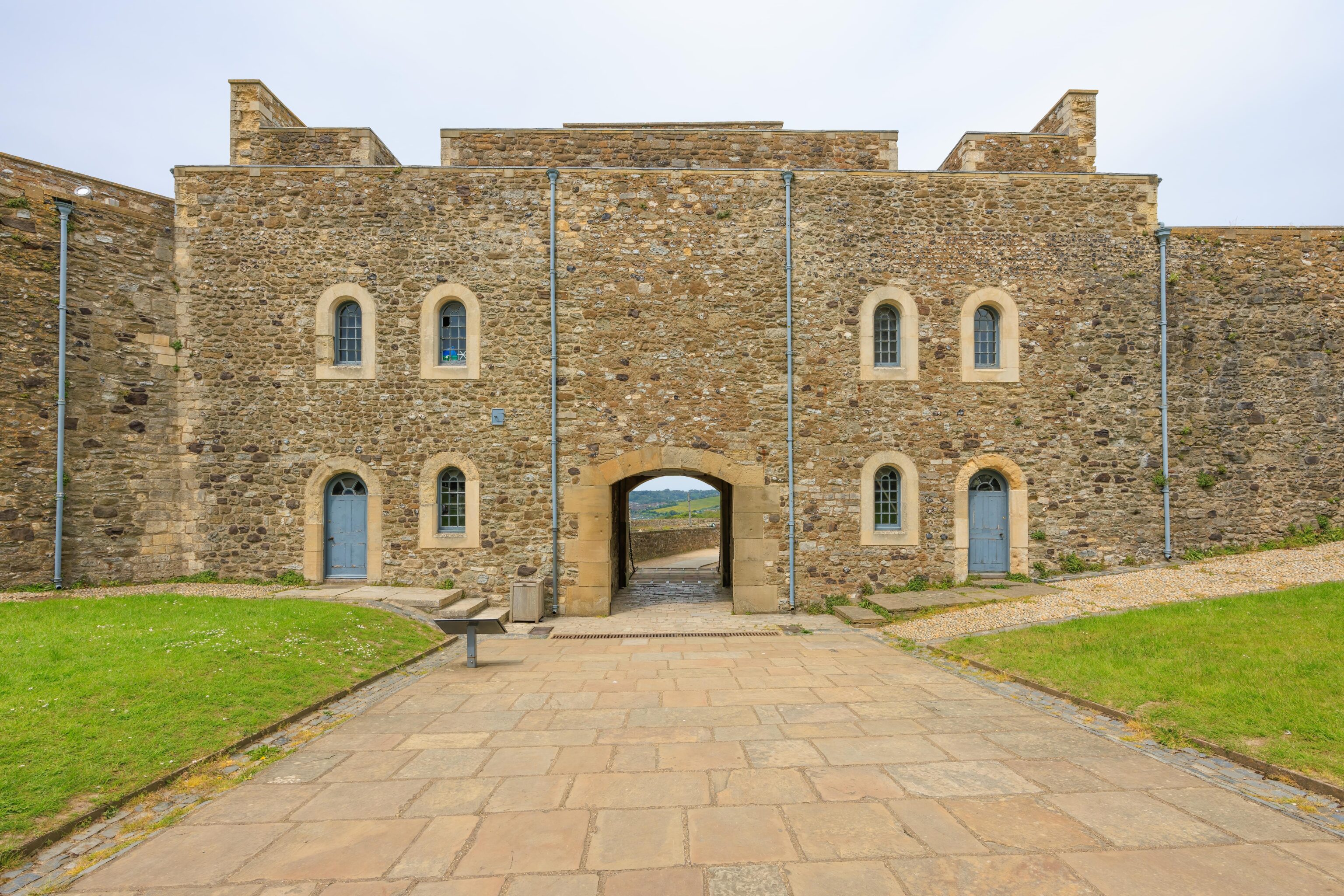
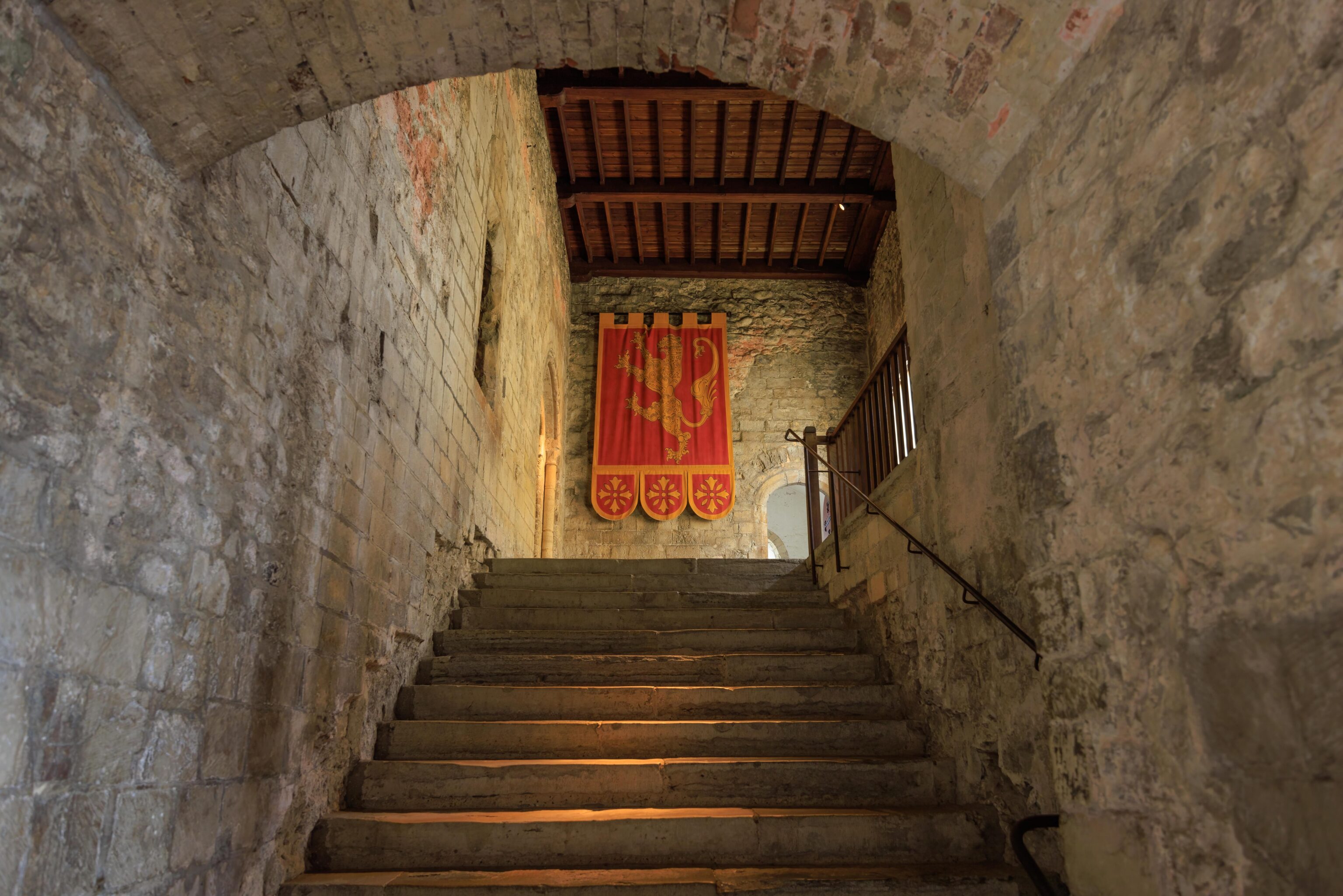
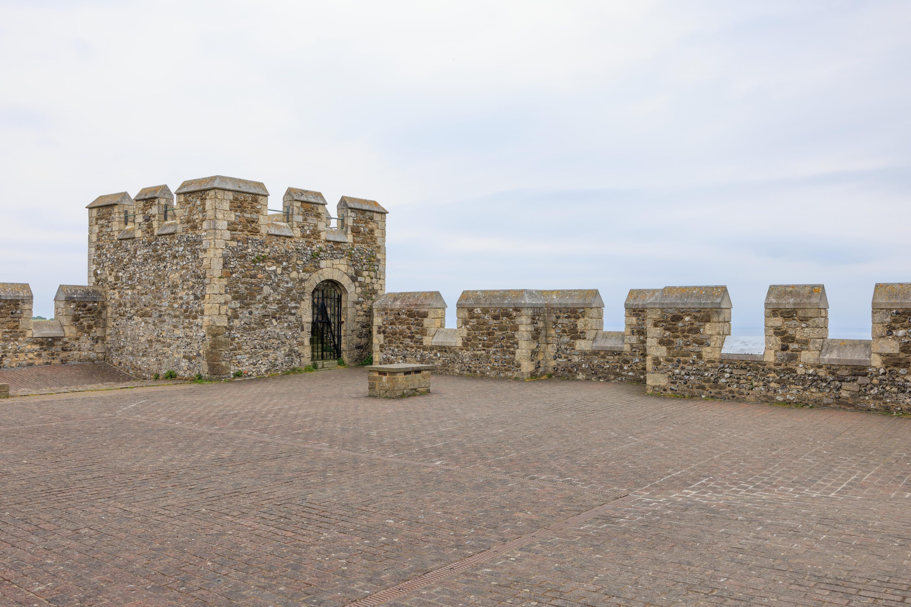
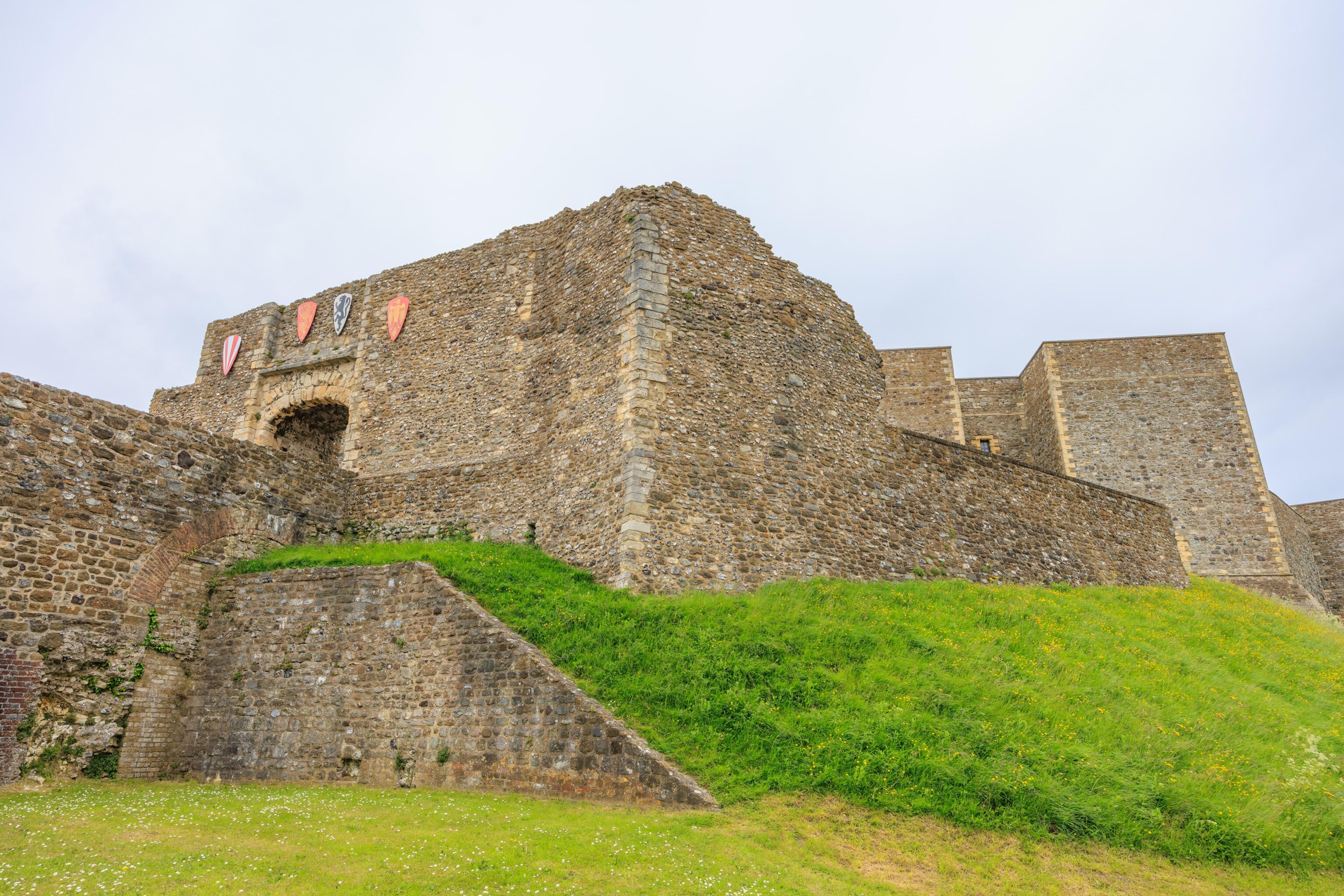
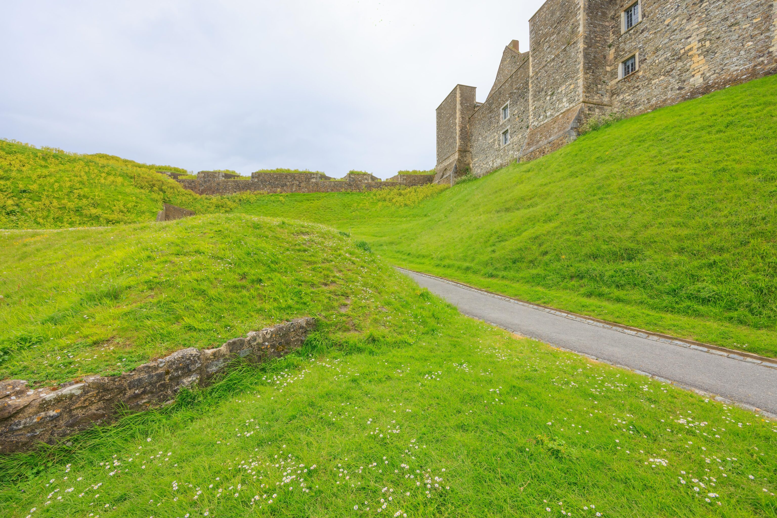
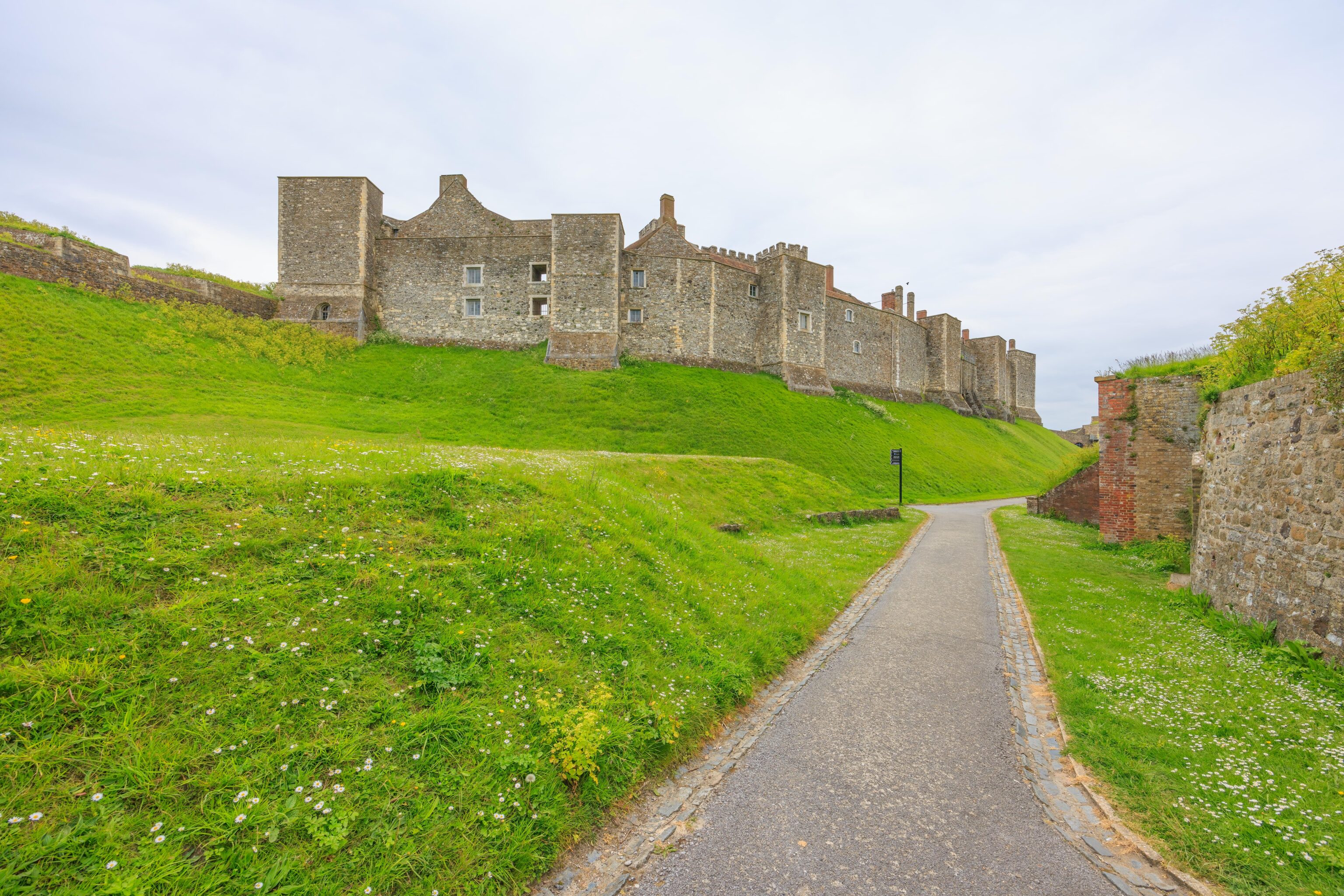
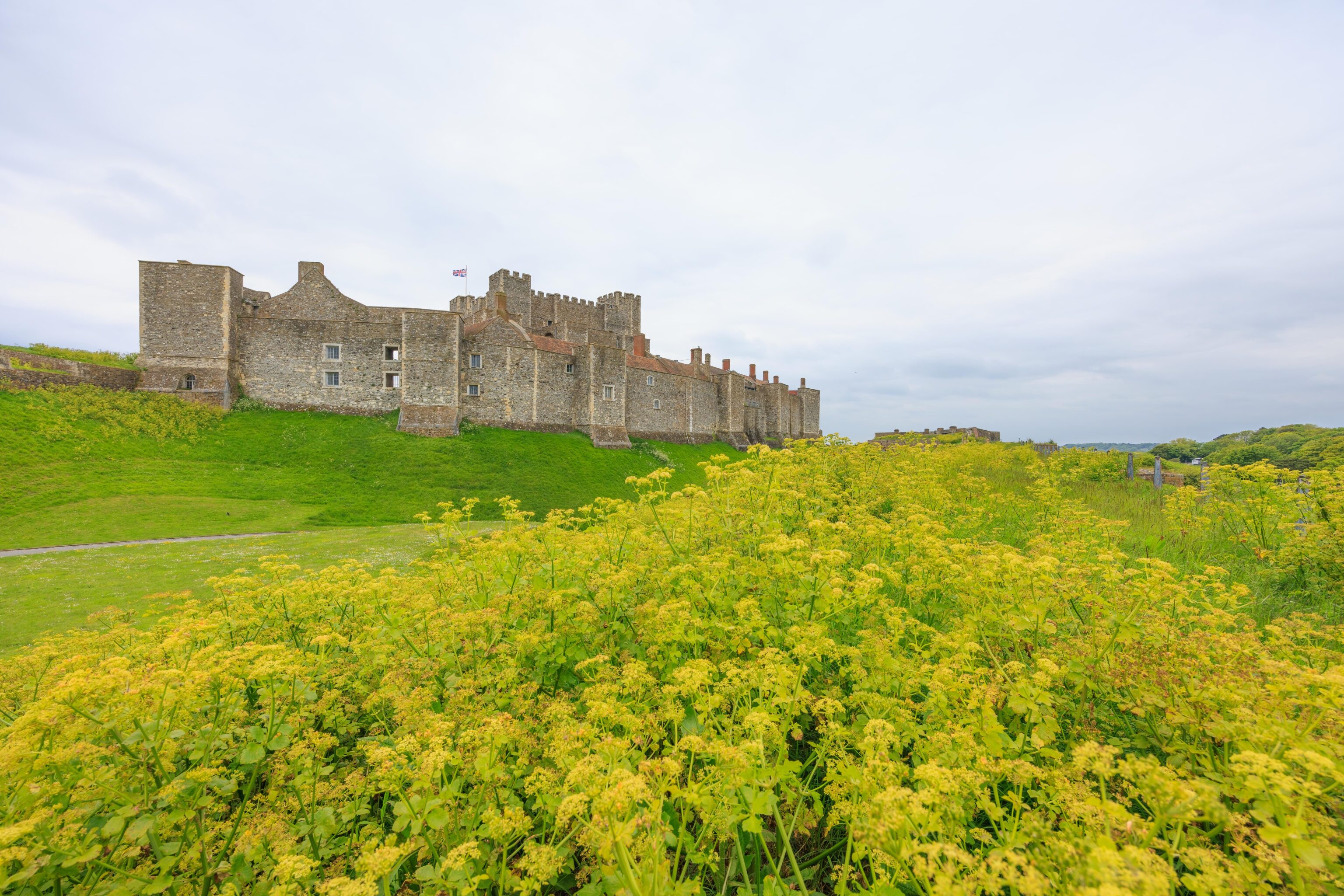
After eating, we headed to the gate at the northwest wall.
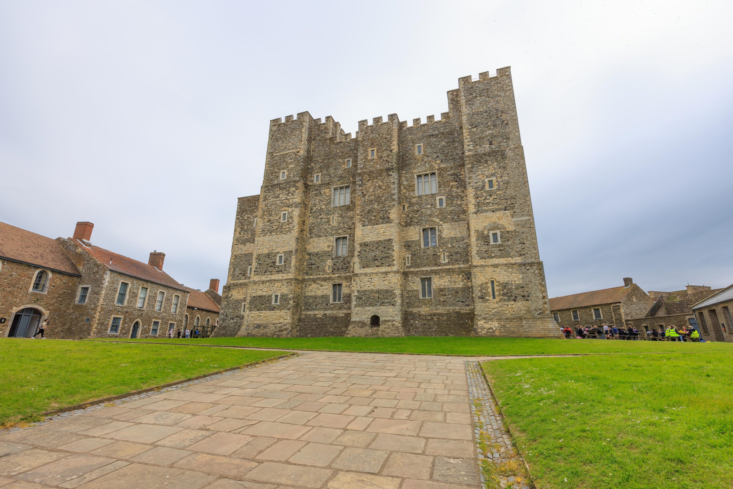
The castle from the gate. We managed to mostly miss the large school groups that we saw at various points throughout the day.
The area immediately outside of the gate is still elevated compared to the land around it.
One final look back at the gate before heading down to ground level.
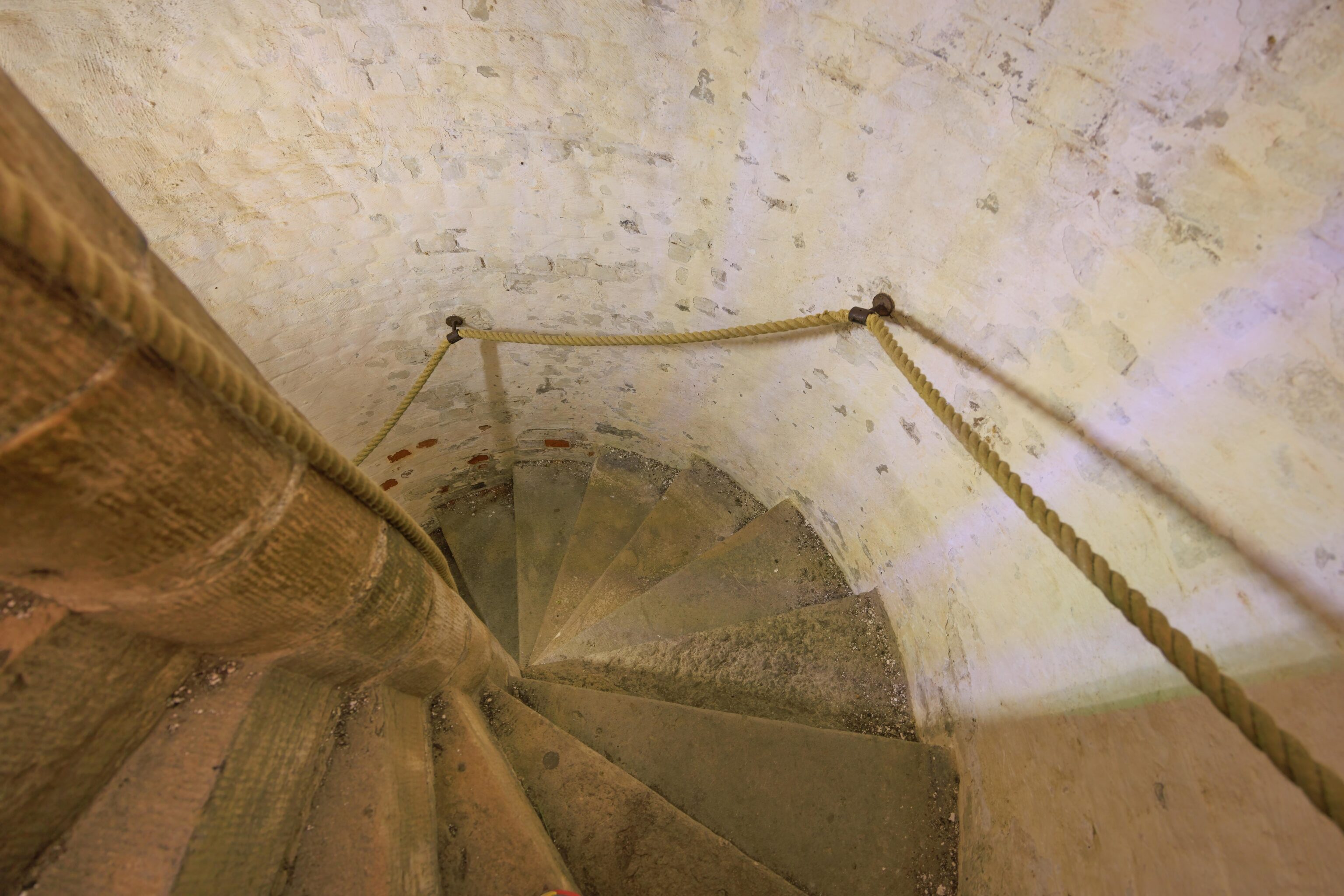
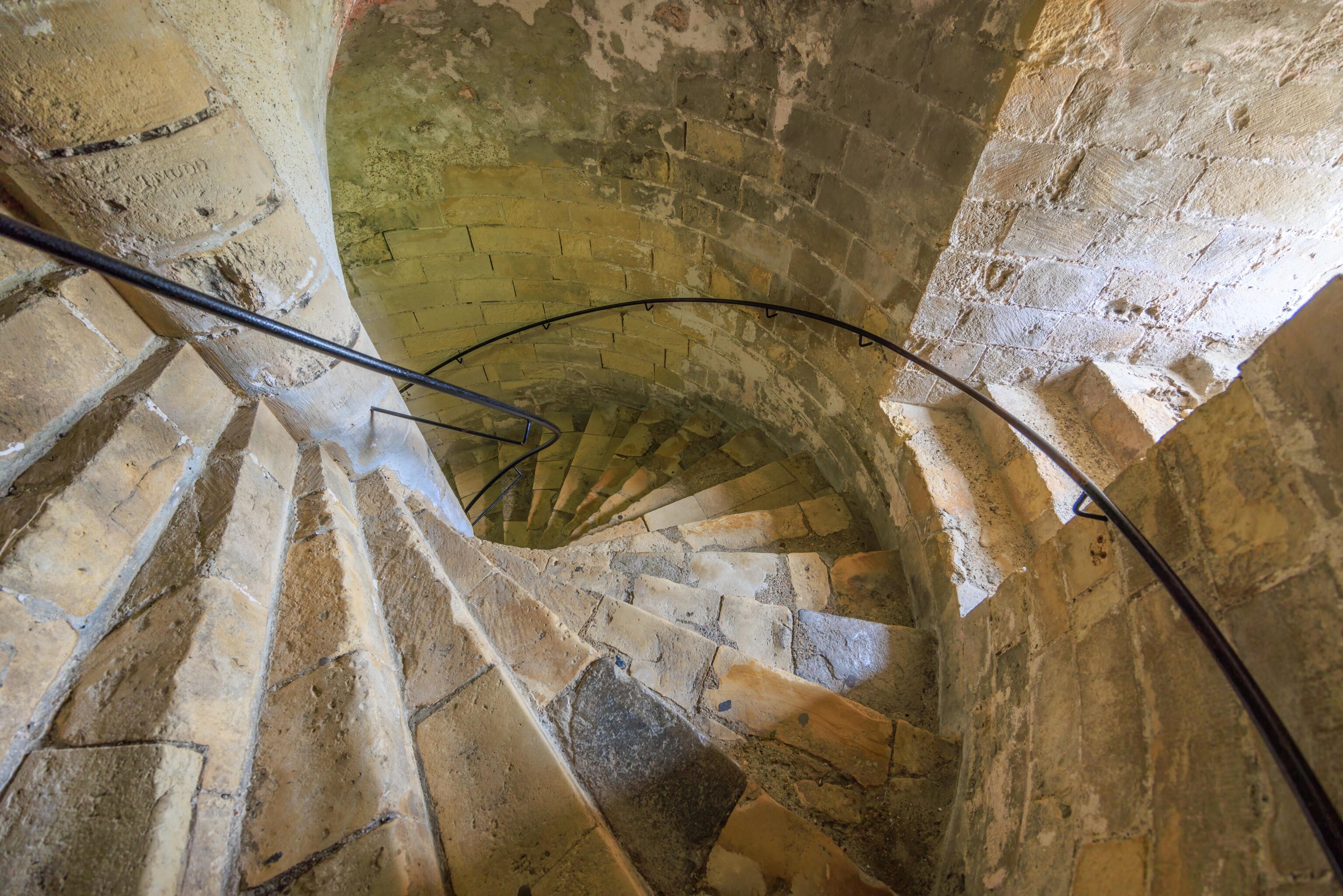
We headed to the medieval tunnels next. The entrance was nearby. We first had to descend a narrow set of circular stairs. The weird coloring on the wall is due to the light bulb.
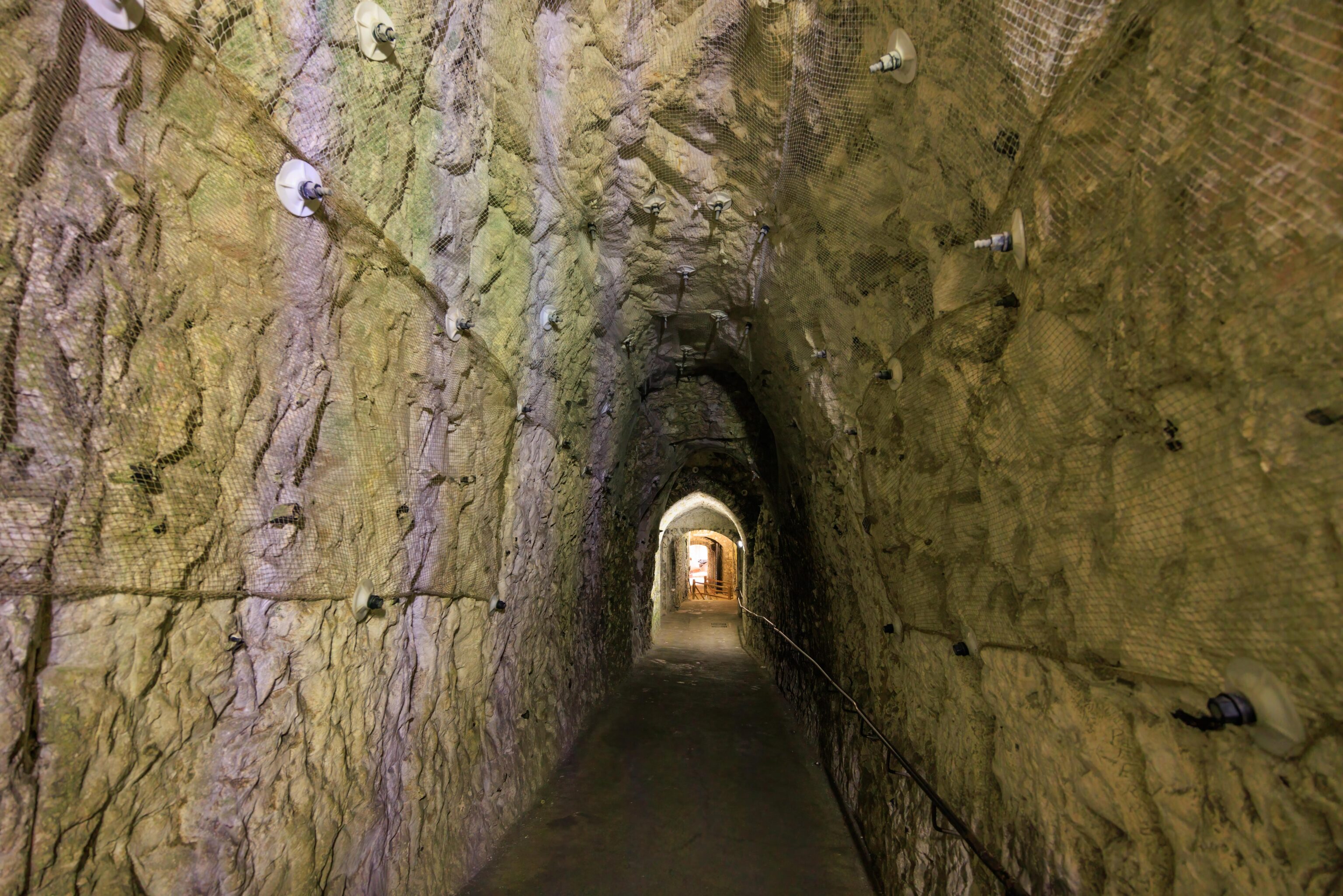
After reaching the bottom of the stairs, where was a steep and narrow tunnel headed further down. Again, the zebra effect on the wall is due to the lighting in the tunnel.
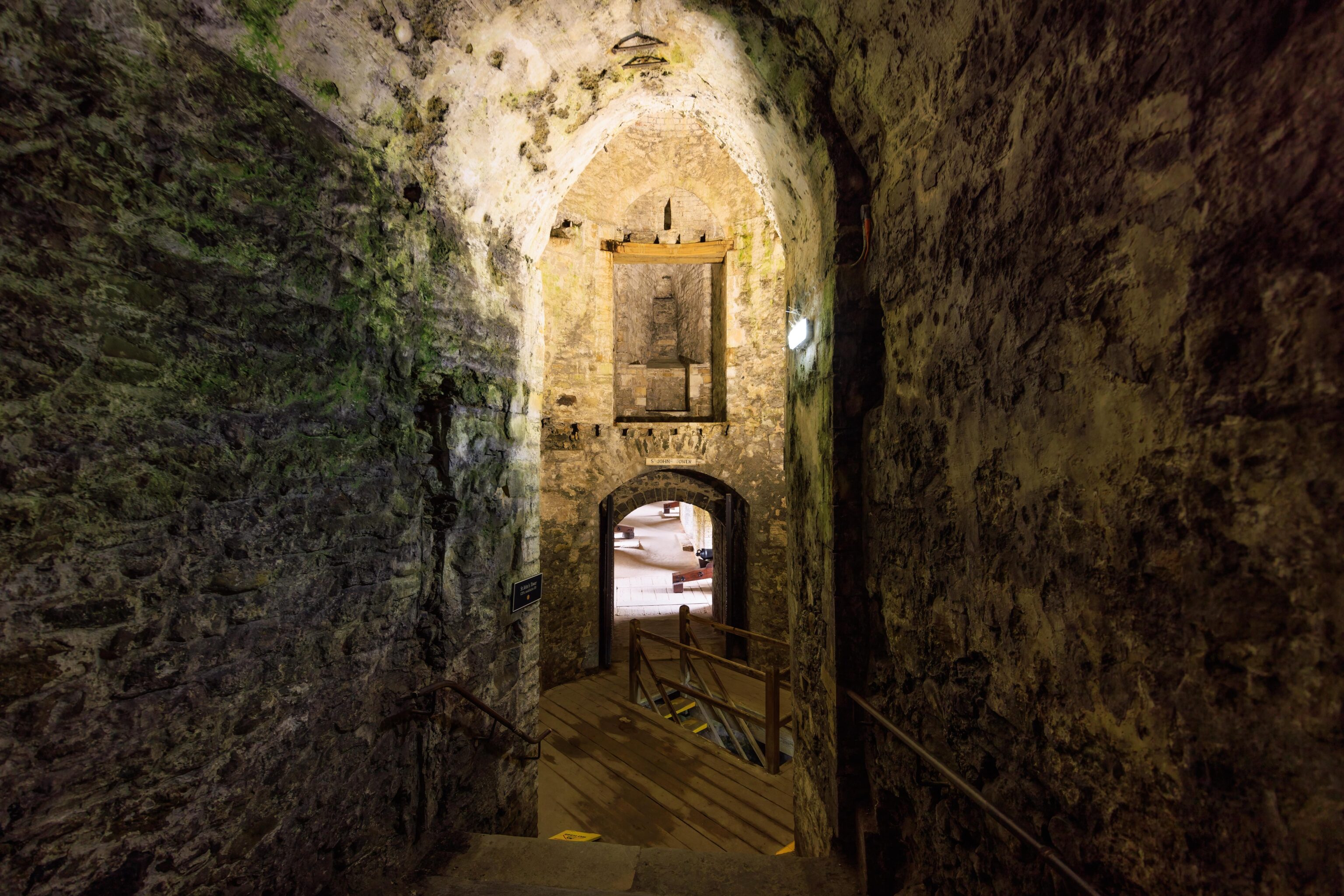
The tunnel ends at a tower. There are more stairs going down.
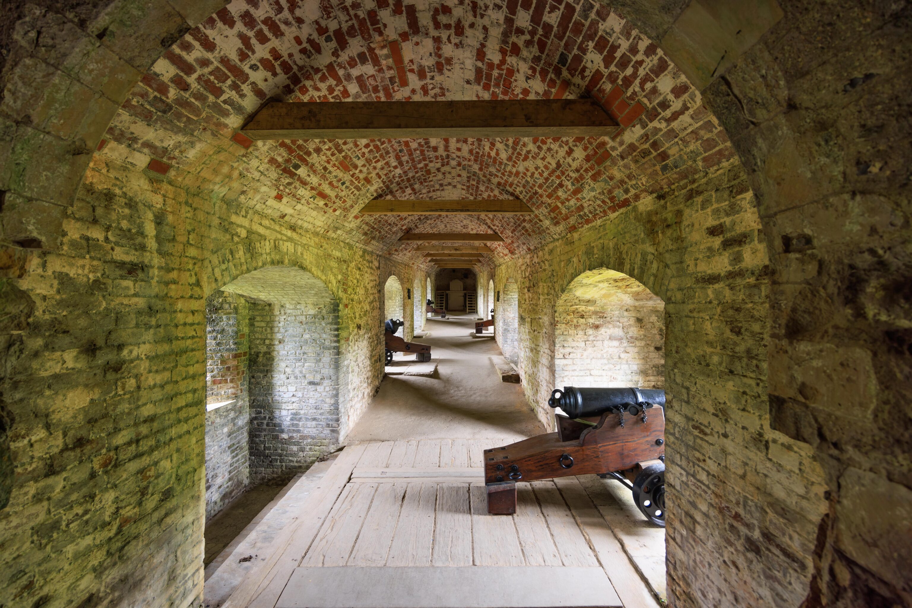
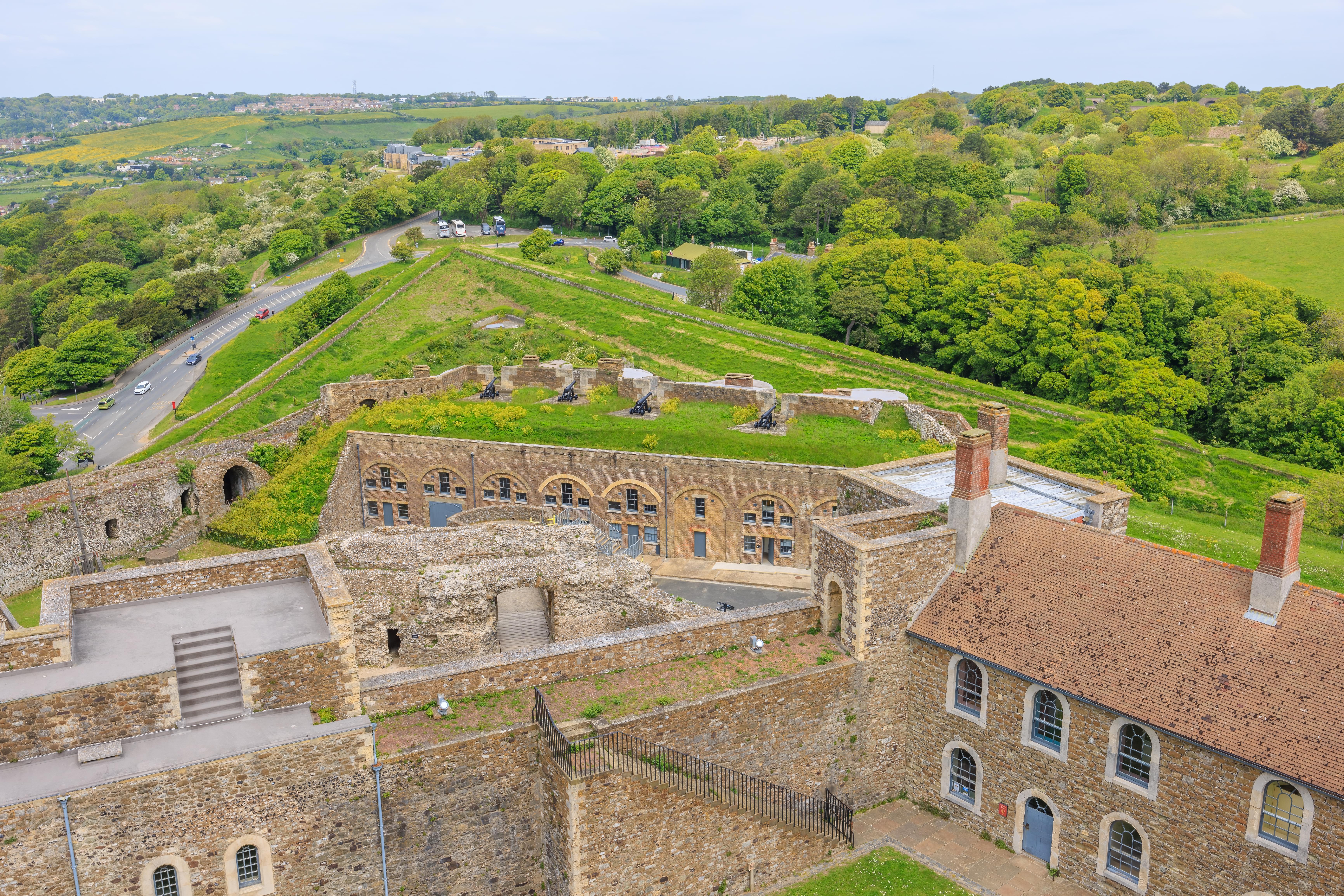
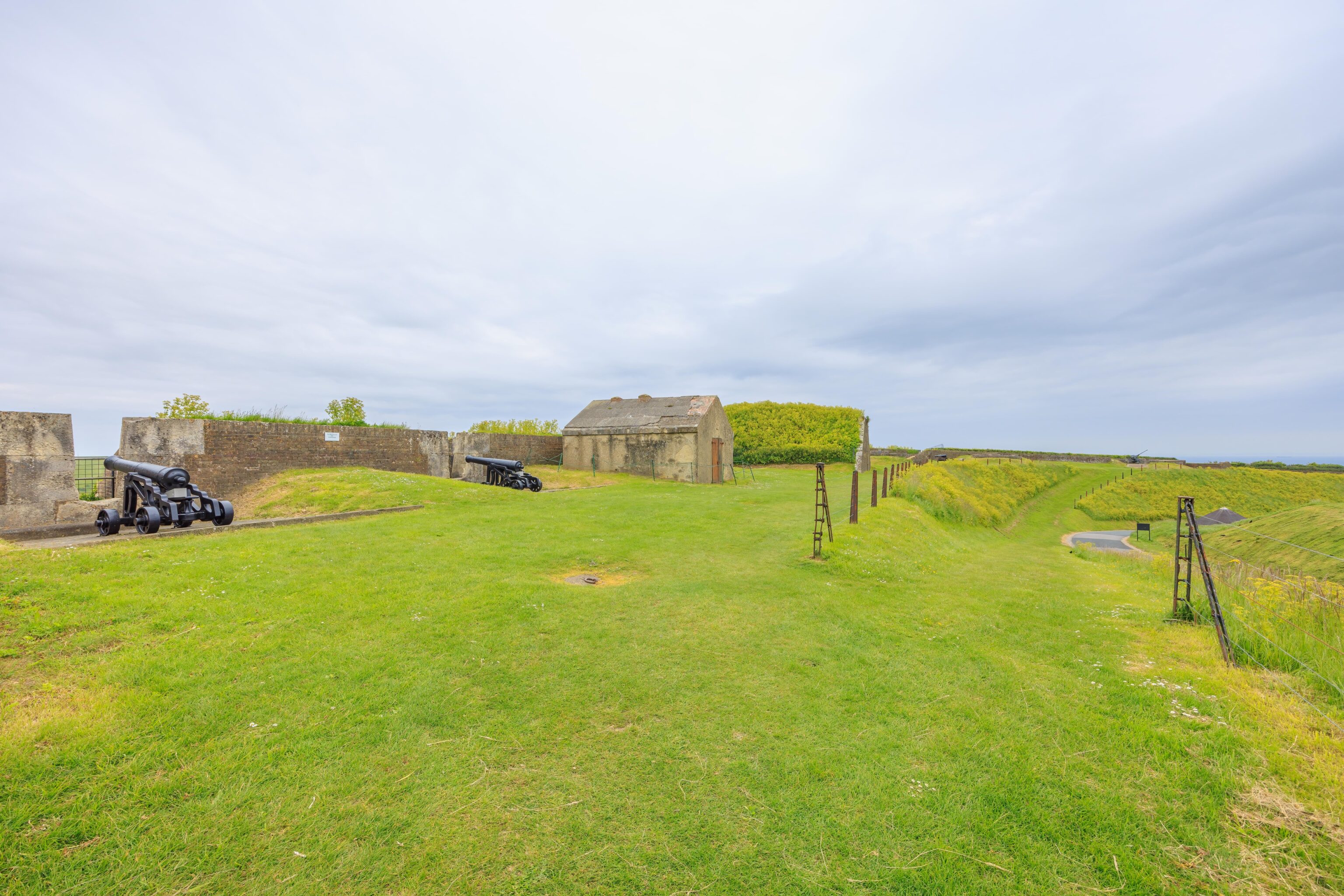
The room visible at top of the stairs going further down contains cannons.

There are a few rooms at the bottom of the stairs and more tunnels. The rooms are intended to provide defense in the ditch that surrounds the castle.
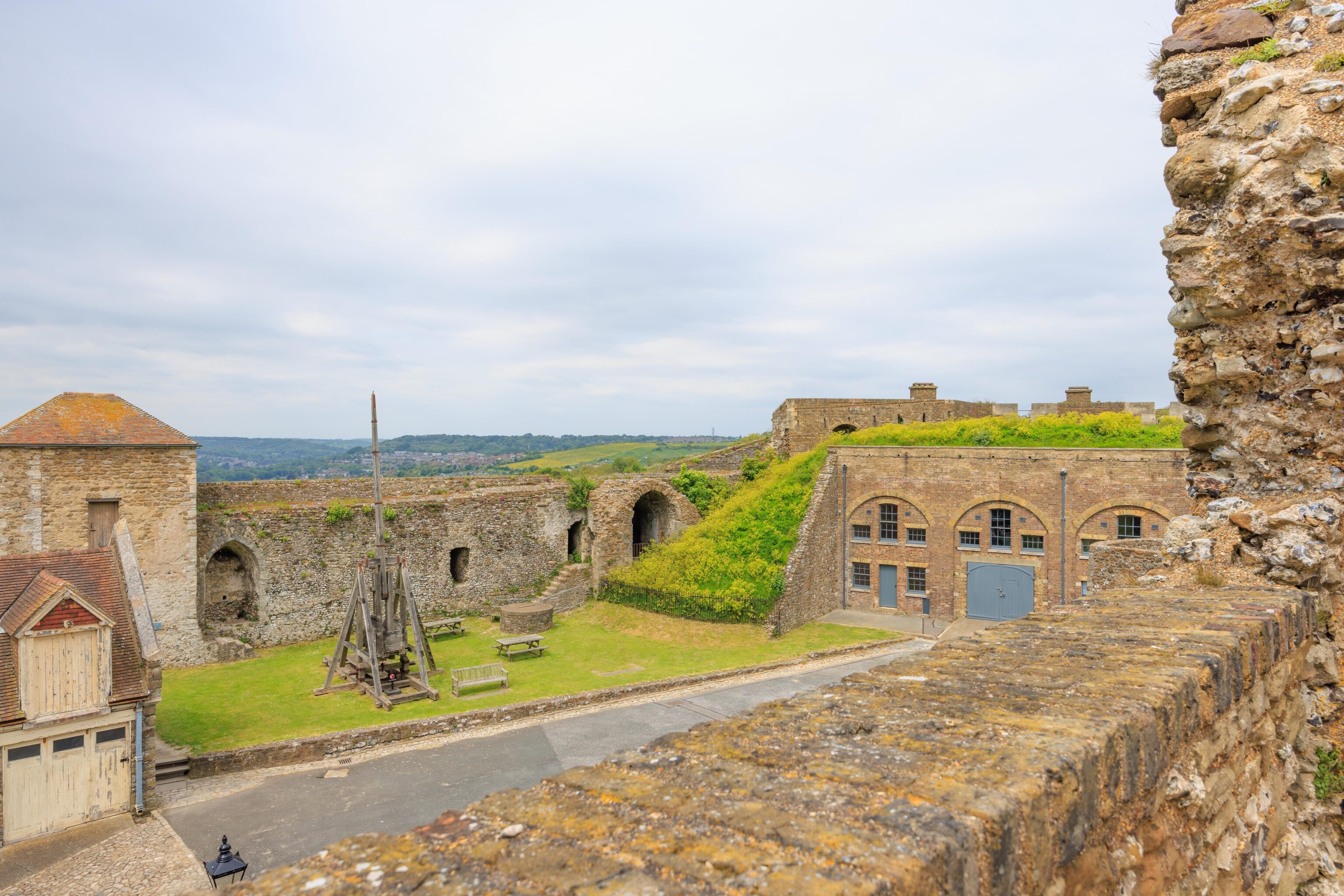
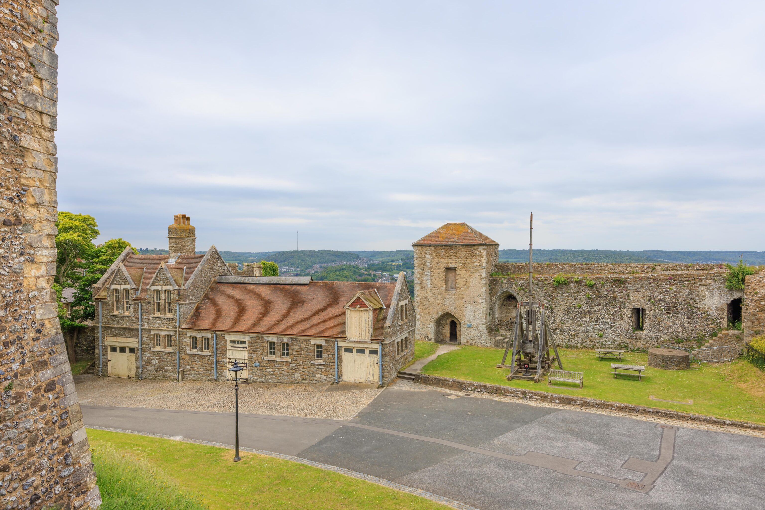
After backtracking and returning to the outer bailey, we walked a bit to the west, roughly where a catapult can be seen in previous photographs. There is a small tower with a small door and room. The room provides this westward view of the town below.
The view to the south from outside the little tower.
We continued walking to the south until we quickly reached the Constable’s Gate.
A road runs through the gate, leading outside the castle’s outer wall.
We backtracked, looping clockwise around the outer bailey until we passed the gate to the inner bailey where we exited earlier.
Earlier, we passed through this gate that sits between the inner bailey wall and the outer bailey.
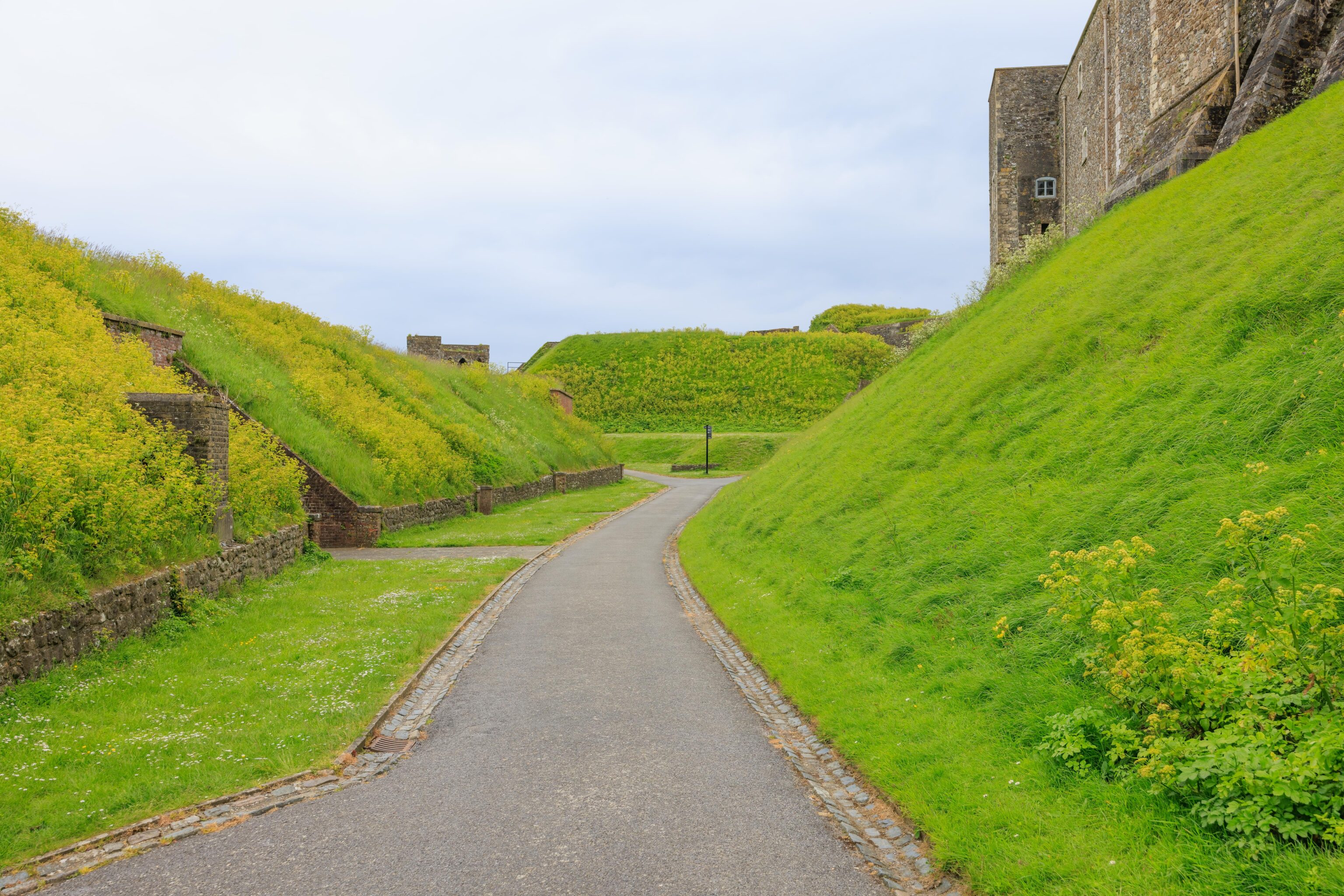
There is a ramp that heads up to the battlements above the outer wall. Looking to the northwest, the structure down in the ditch seems to be where we ended up after going through the medieval tunnels.
Looking to the southeast, we could see a bit of the English Channel as well as the path we were planning on taking next.
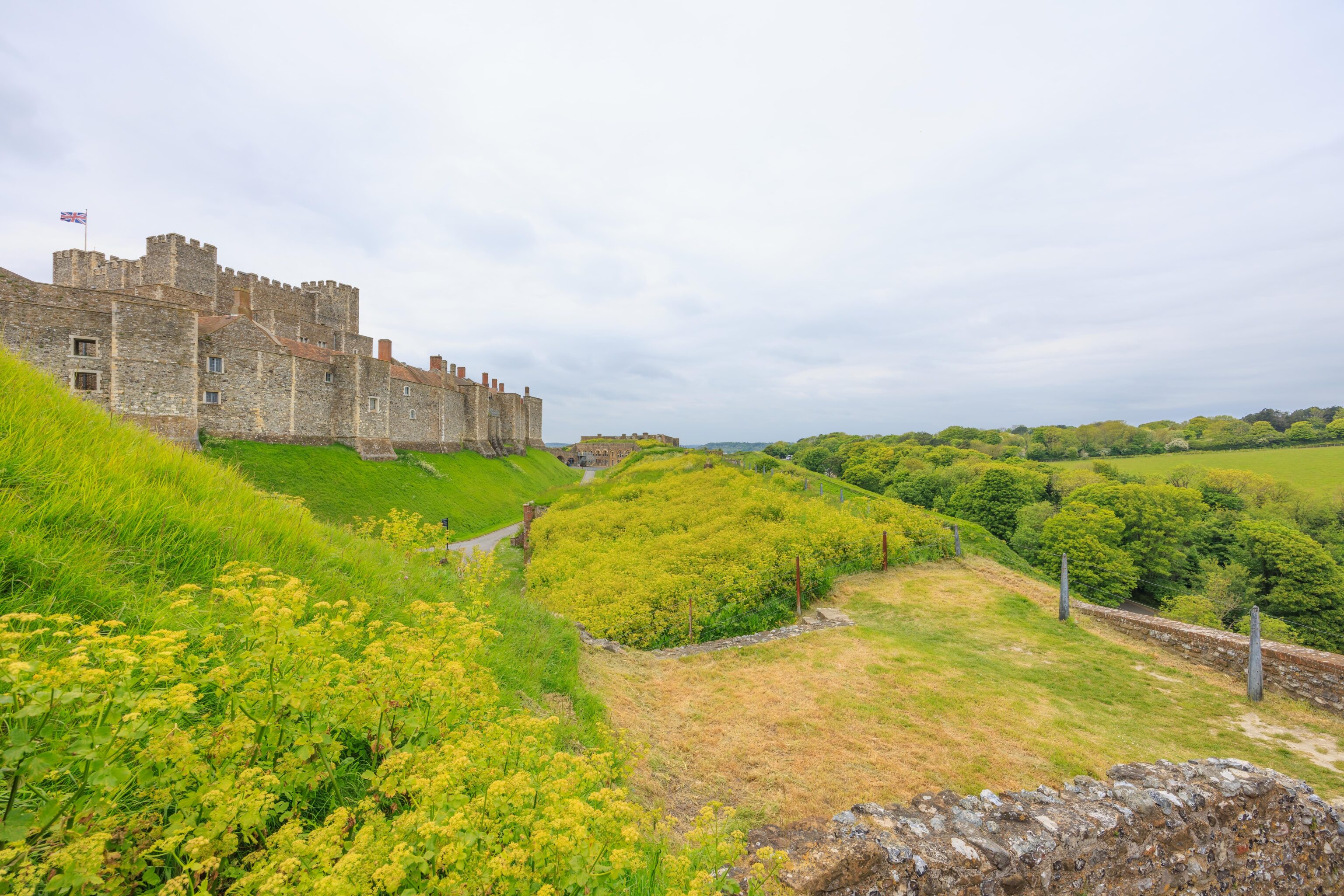
The wall around the inner bailey could be seen in its entirety to the south.
We headed back down the ramp. The building on the left that forms part of the outer wall currently contains bathrooms.
After returning to ground level, we continued walking clockwise with the outer wall to our left.
We passed by a closed gate. There seemed to be multiple gates along the outer wall, though looking at Google Maps, only one seems to actually lead to the outside.
We continued walking to the southeast…
Looking back, there was a nice view of the inner wall.
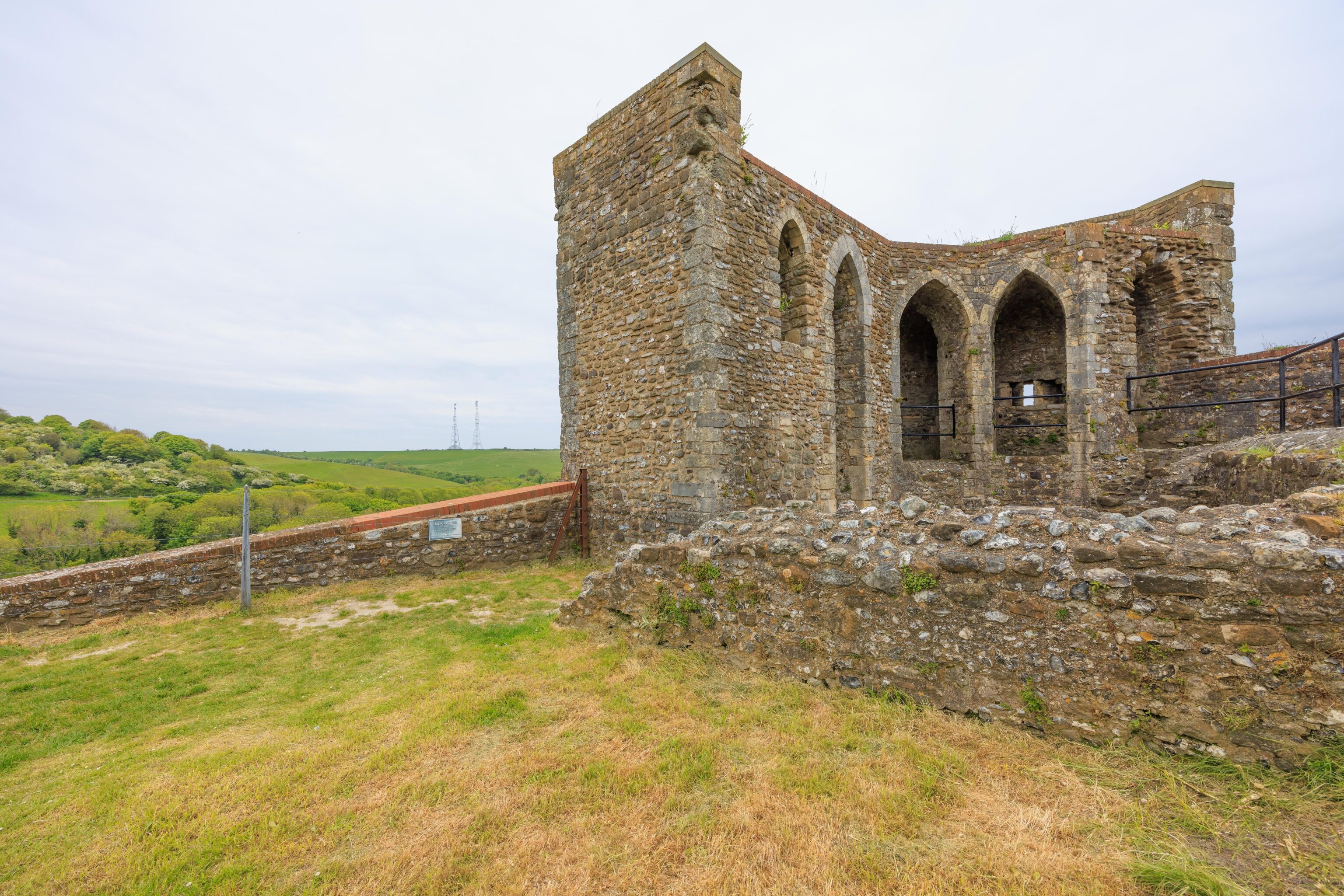
Soon, we reached the remains of Avranches Tower.
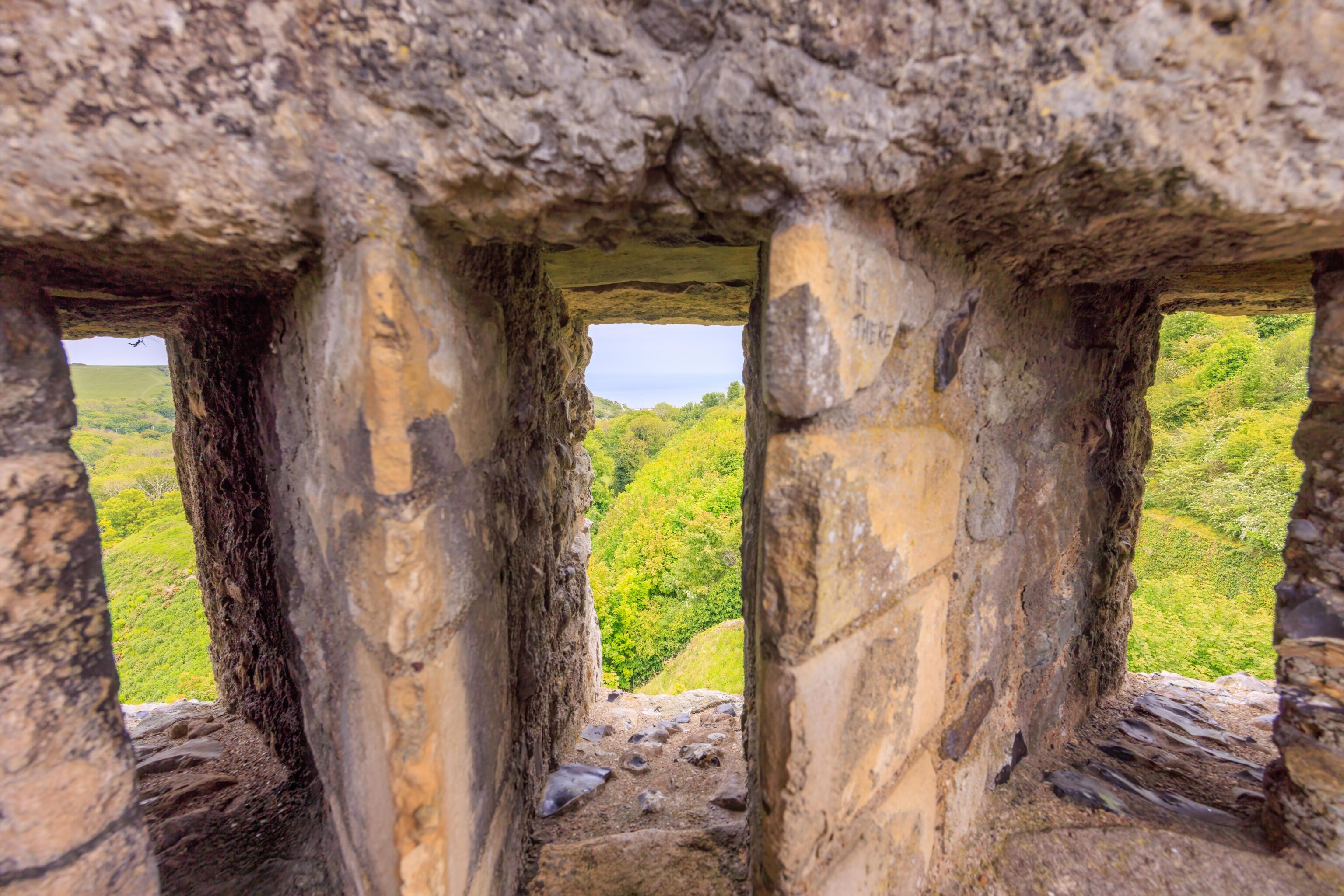
The path runs through and up the tower’s remains. This portion allowed firing through three adjacent windows.
Looking back, we could see the path that we took below us.
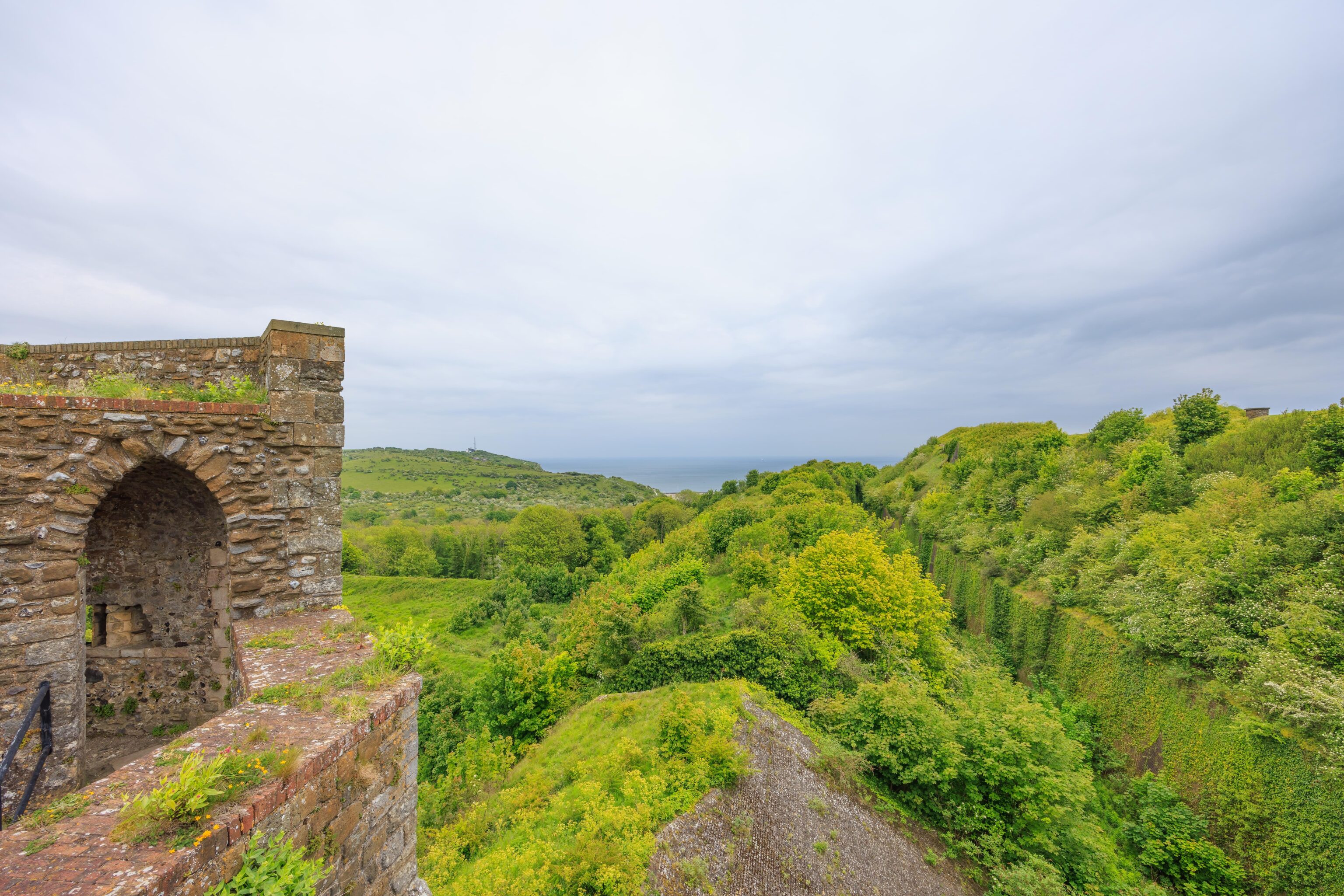
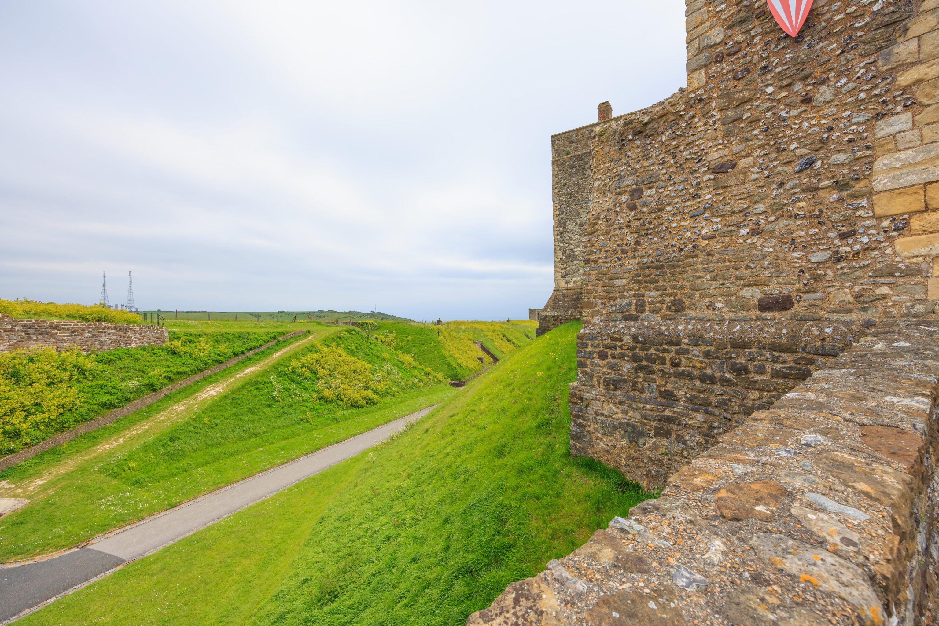
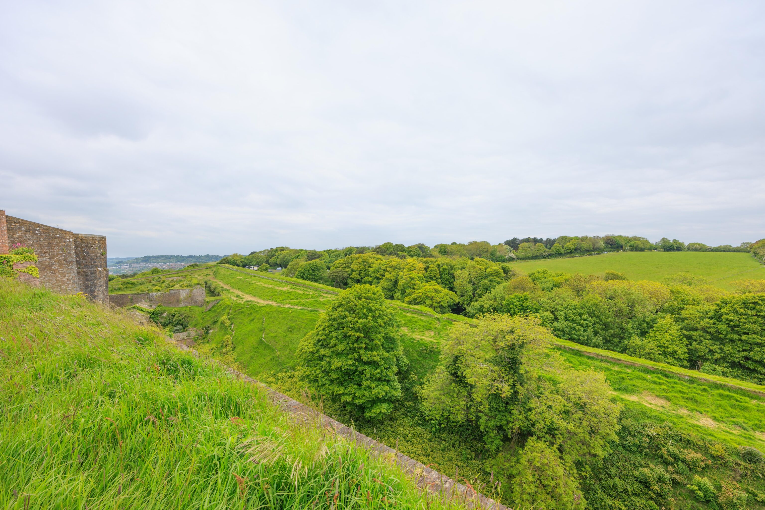
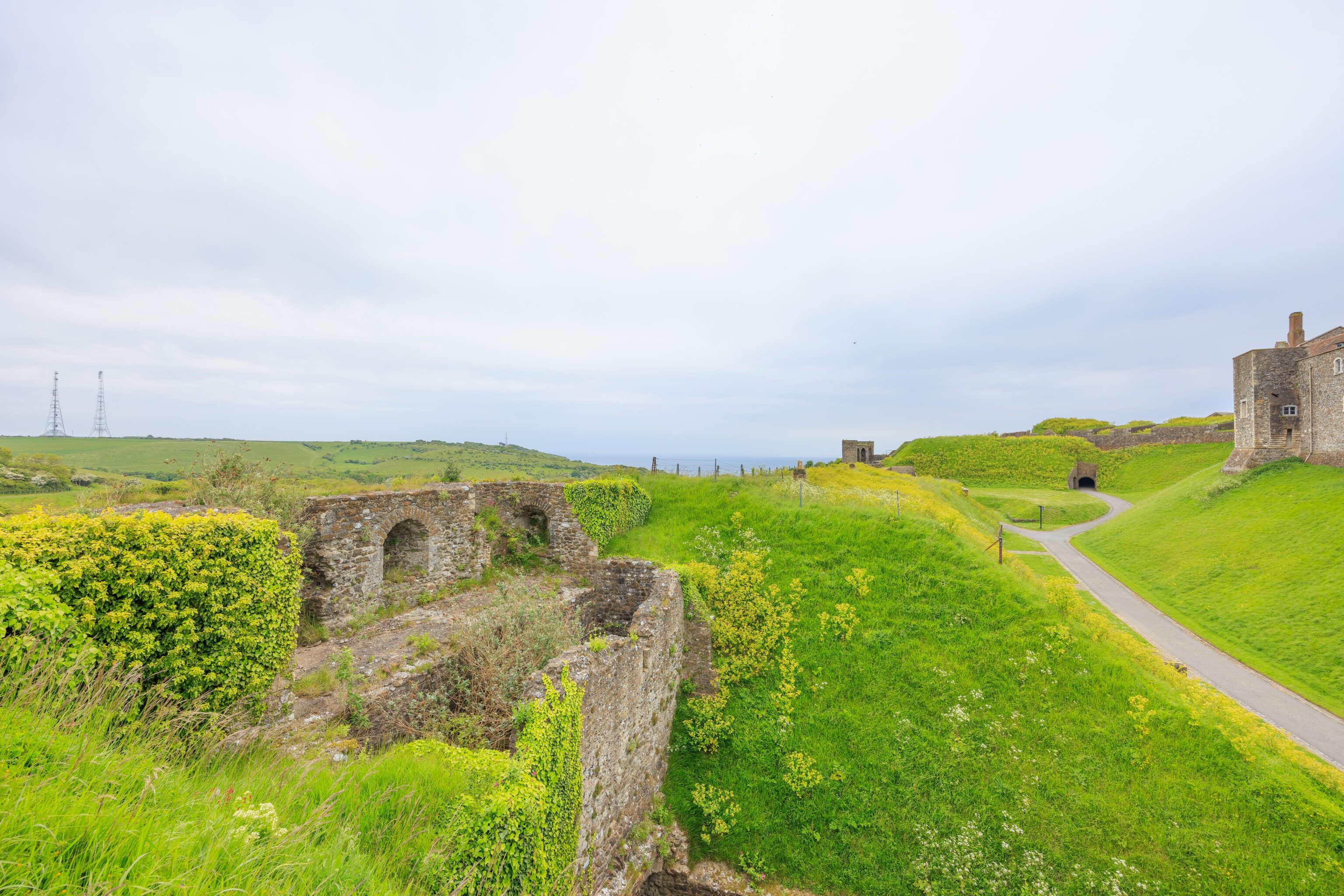
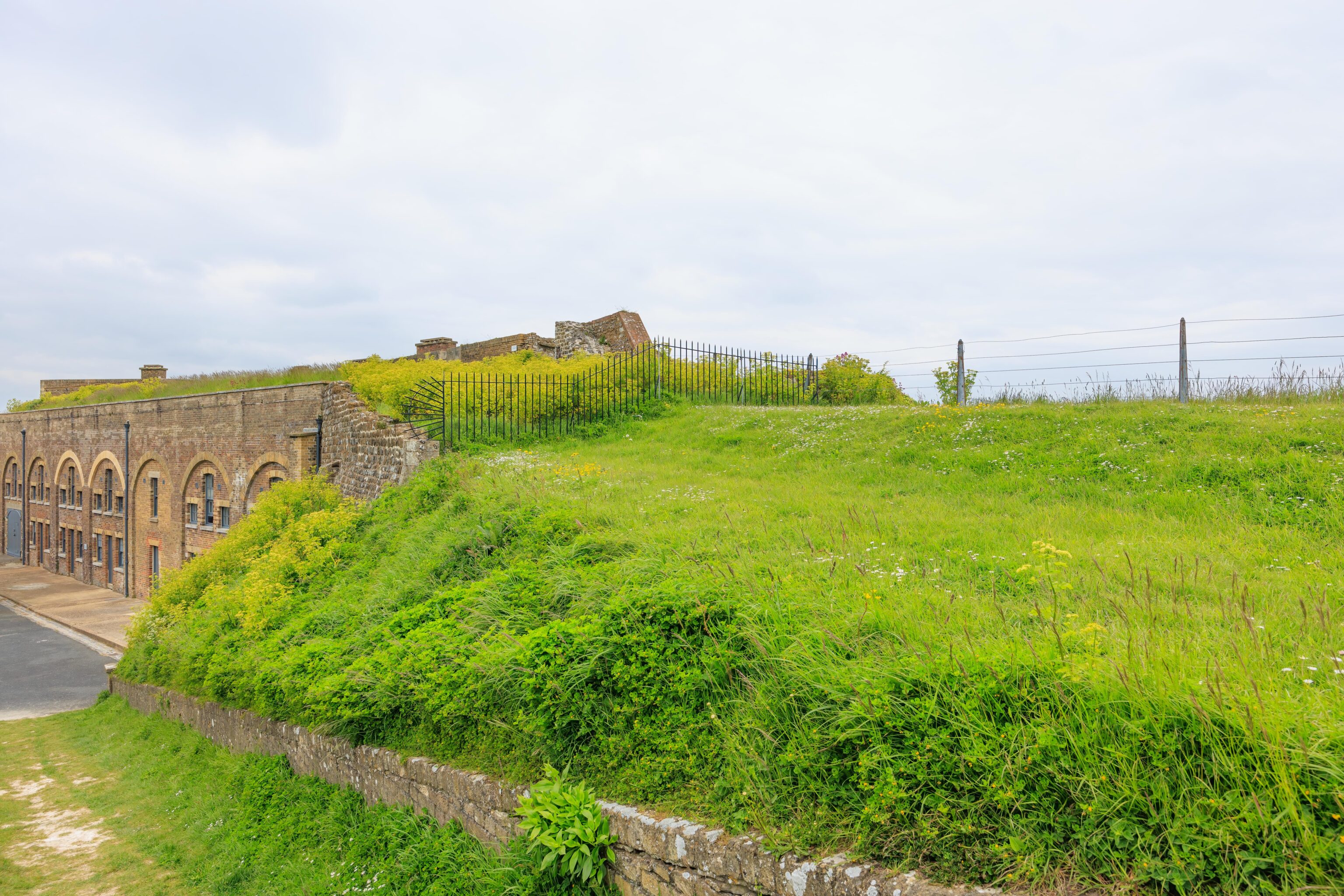
There is a high wall that runs at the inner edge of a ditch on the eastern edge of the castle. It is very overrun with foliage.
We continued walking clockwise atop the battlements. Looking back, we could see the inner wall from a different angle as well as some cannons.
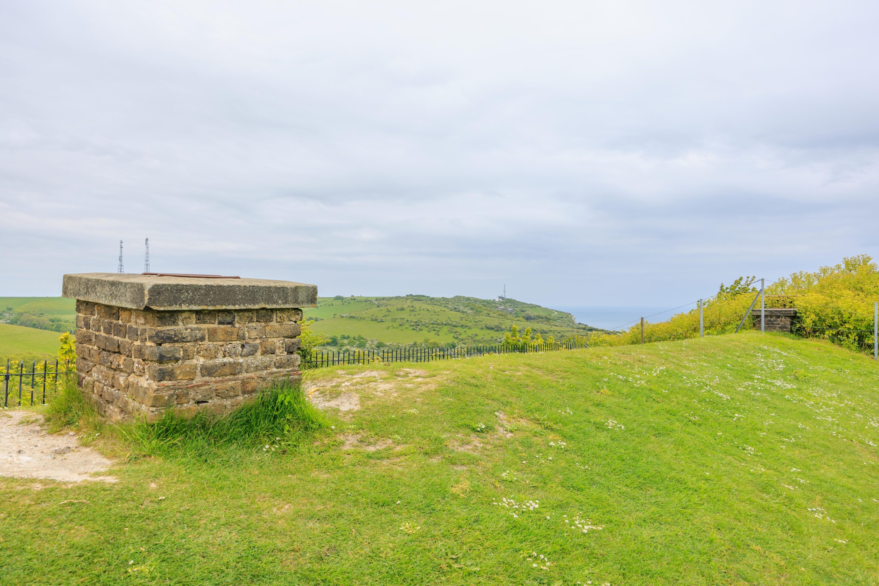
We saw some chimneys coming out of the ground. There were structures below us in this section of the wall. A road is behind and below us. It leads from the normal parking area to a disability parking area just outside of the inner wall. We could see this place earlier from atop the keep when looking to the southeast.
We continued walking, still clockwise but now more to the south.
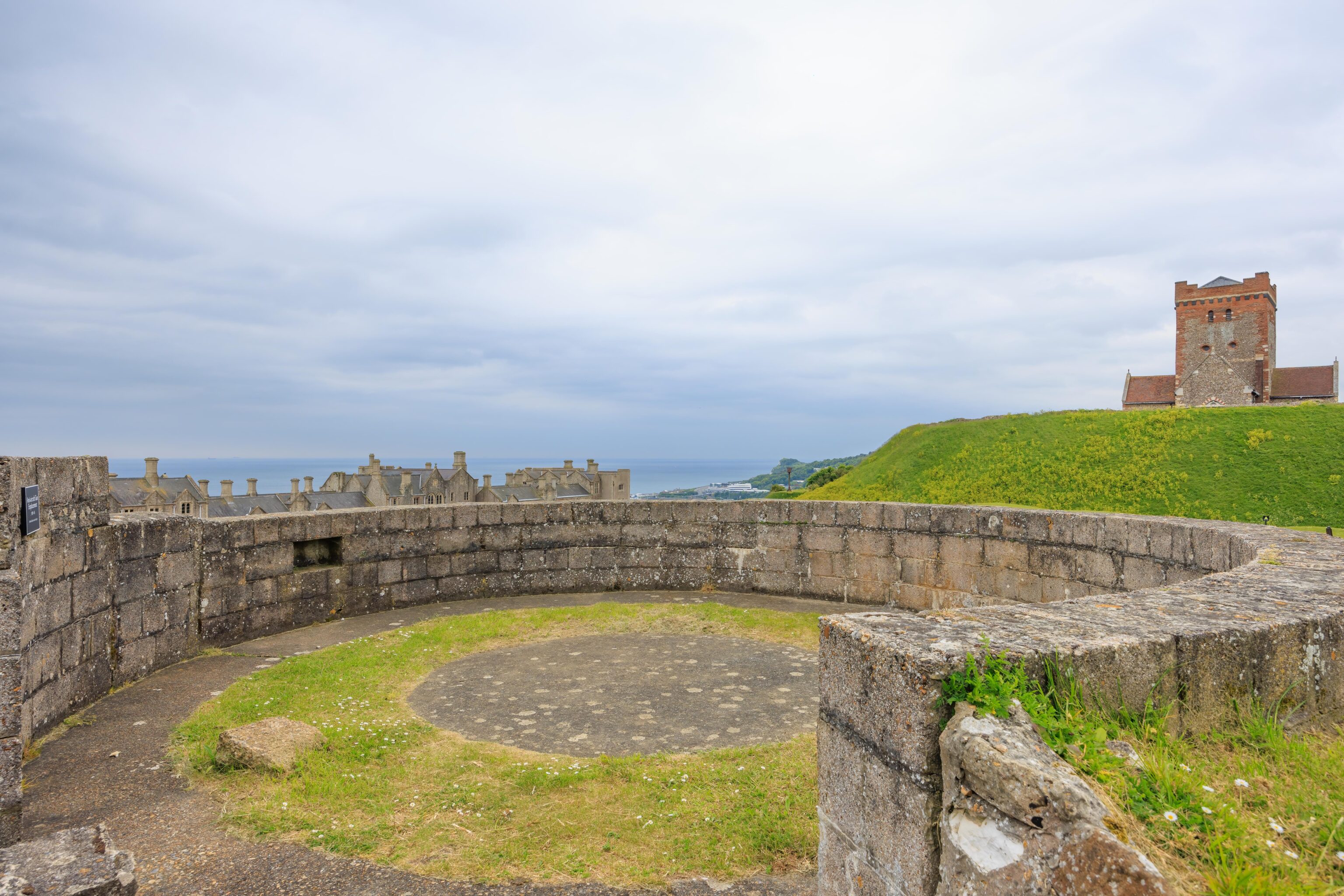
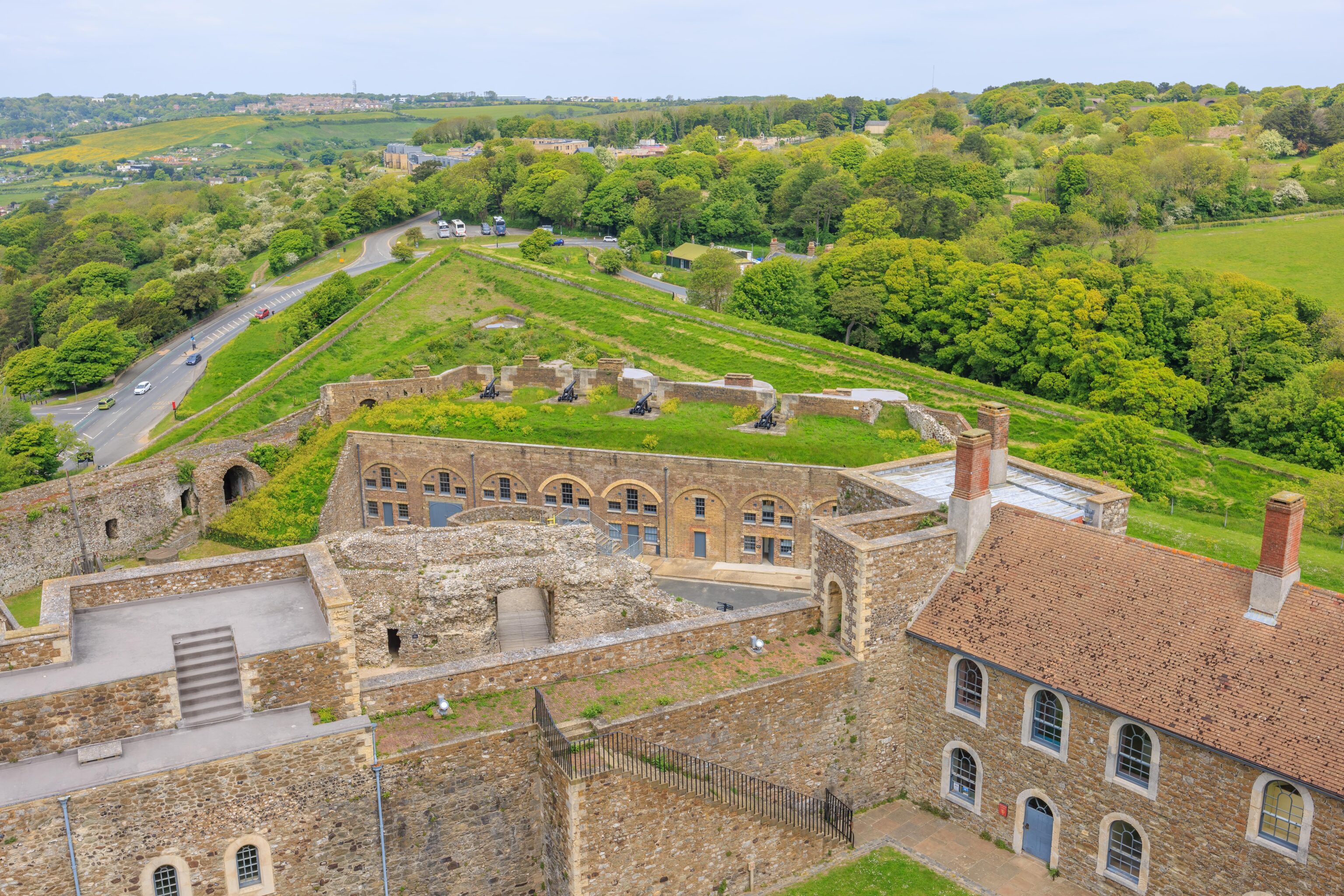
There were a few larger, more modern gun emplacements here on the battlements.
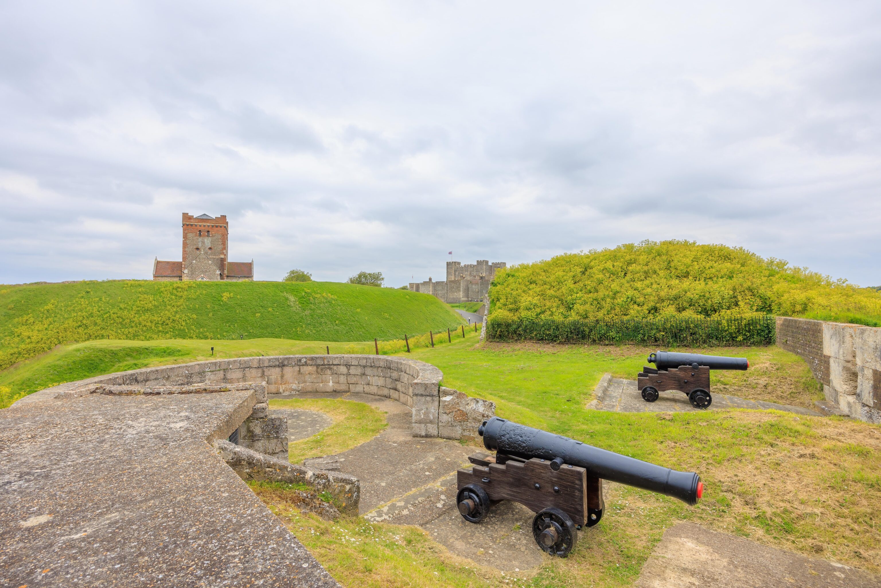
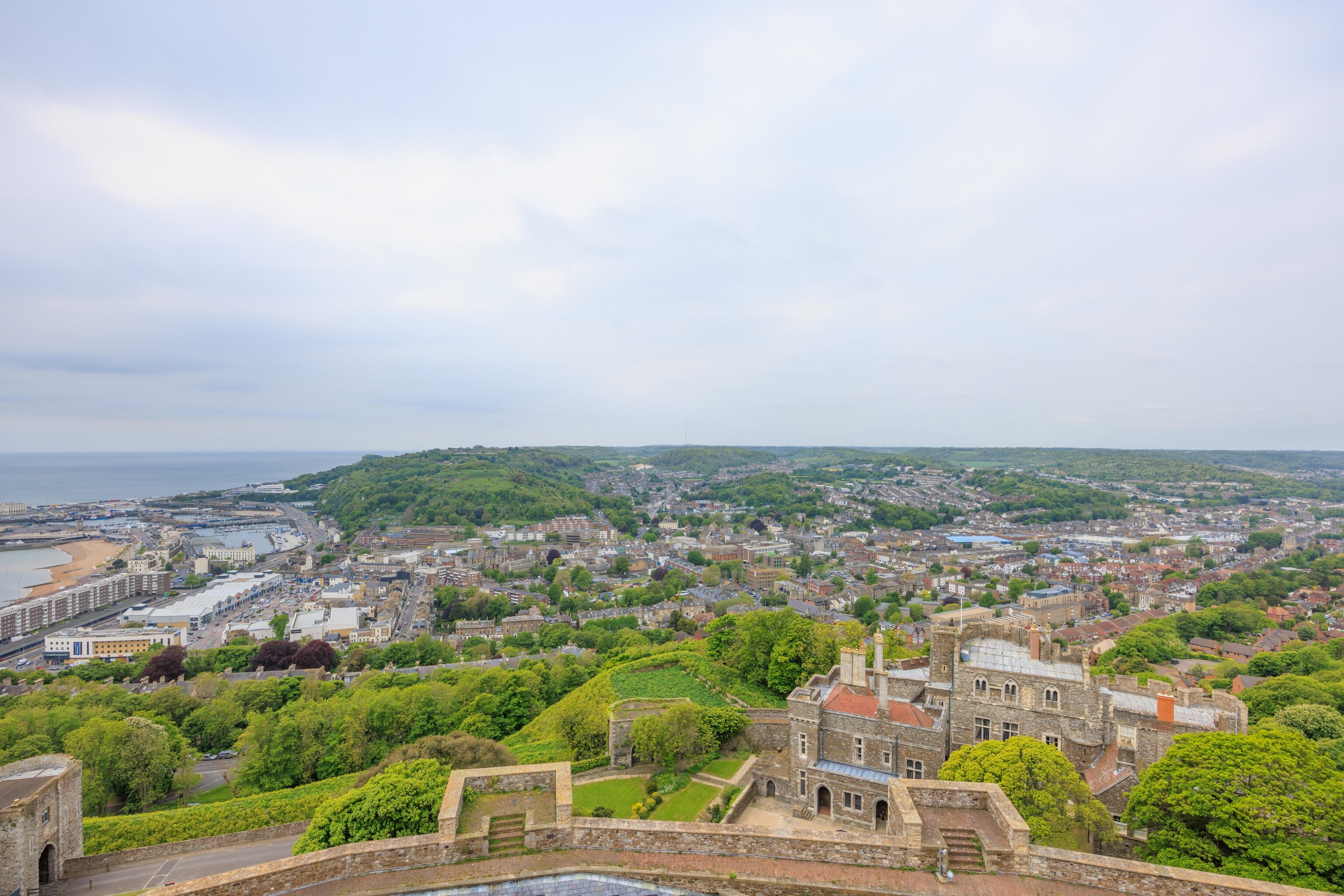
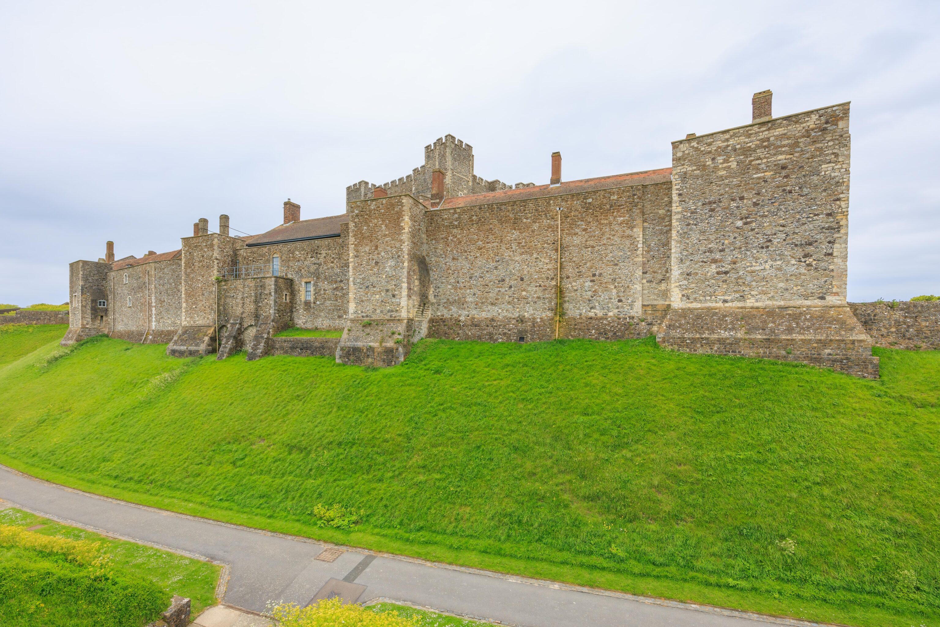
The castle’s inner wall and keep are much further away now. The church is visible on the left, though the lighthouse is on the other side and not visible.
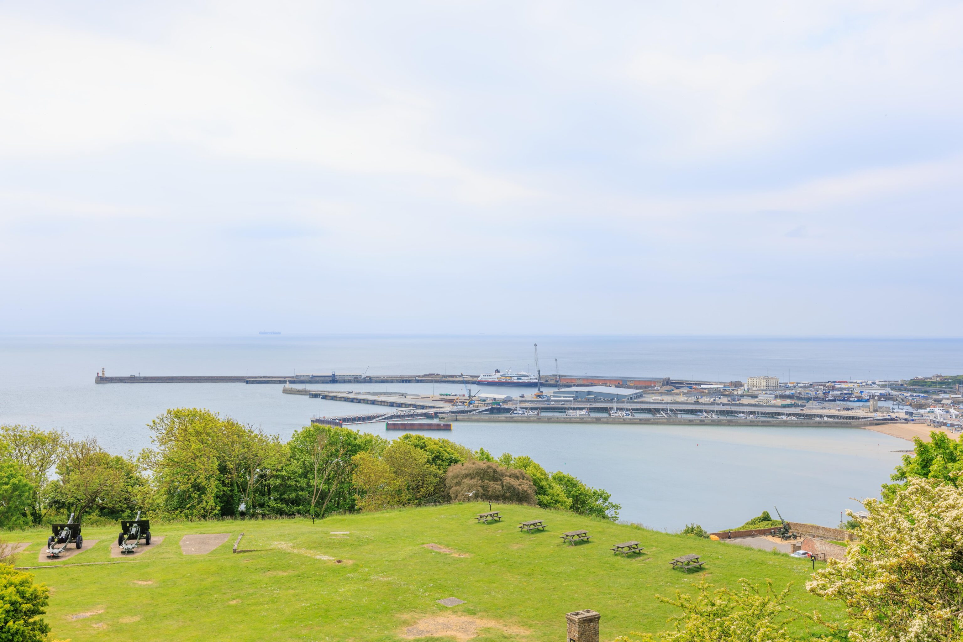
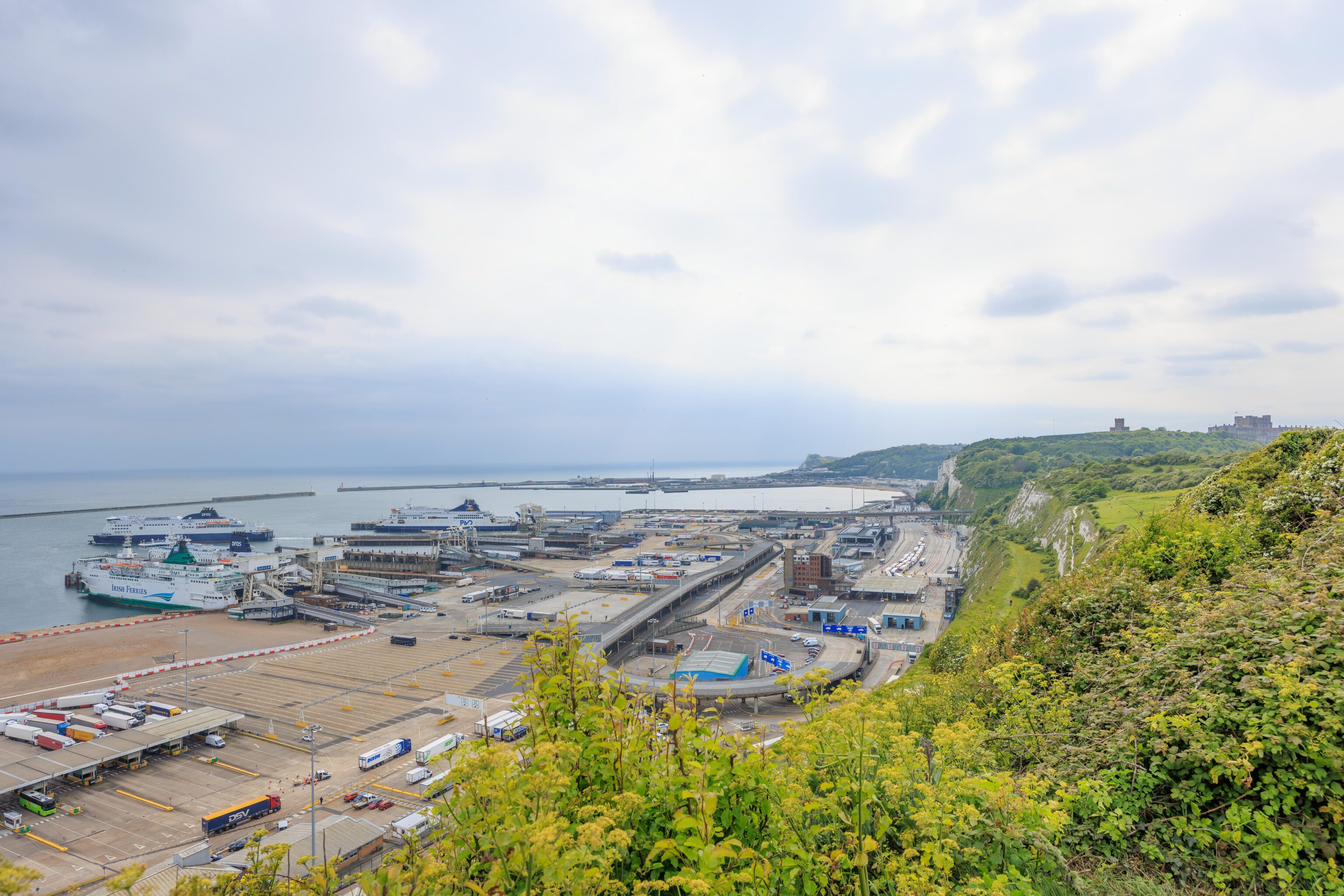
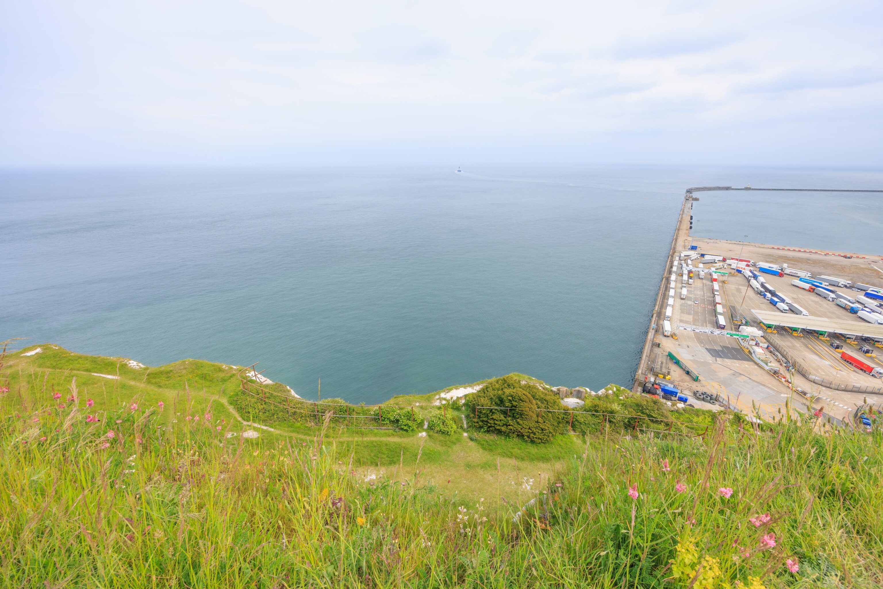
Near the southeast corner, we could see the ferry port below us. The National Trust’s White Cliffs of Dover park is there as well. It starts right behind the ferry port and continues on for 2 miles or so.
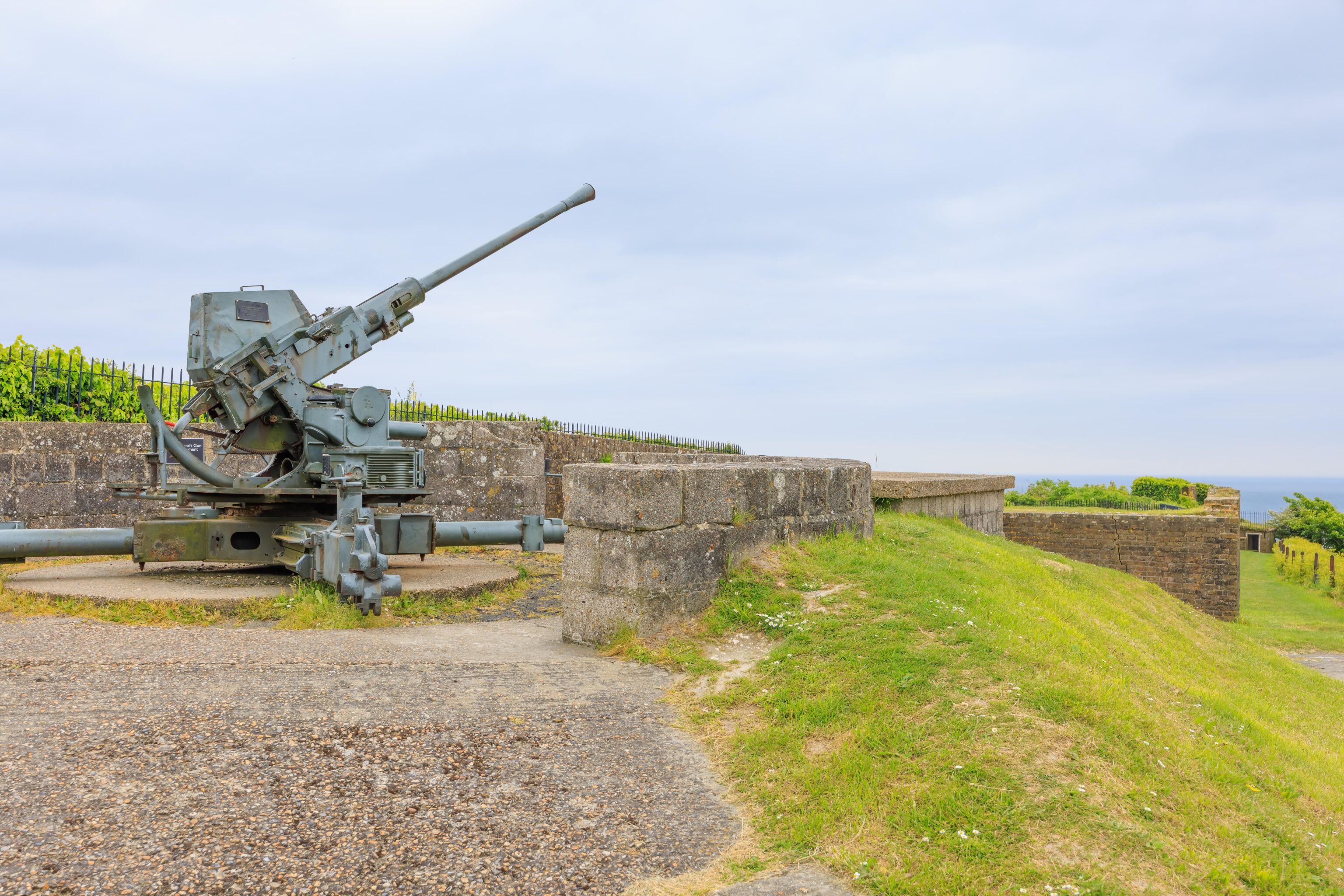
This anti-aircraft gun is nearby.
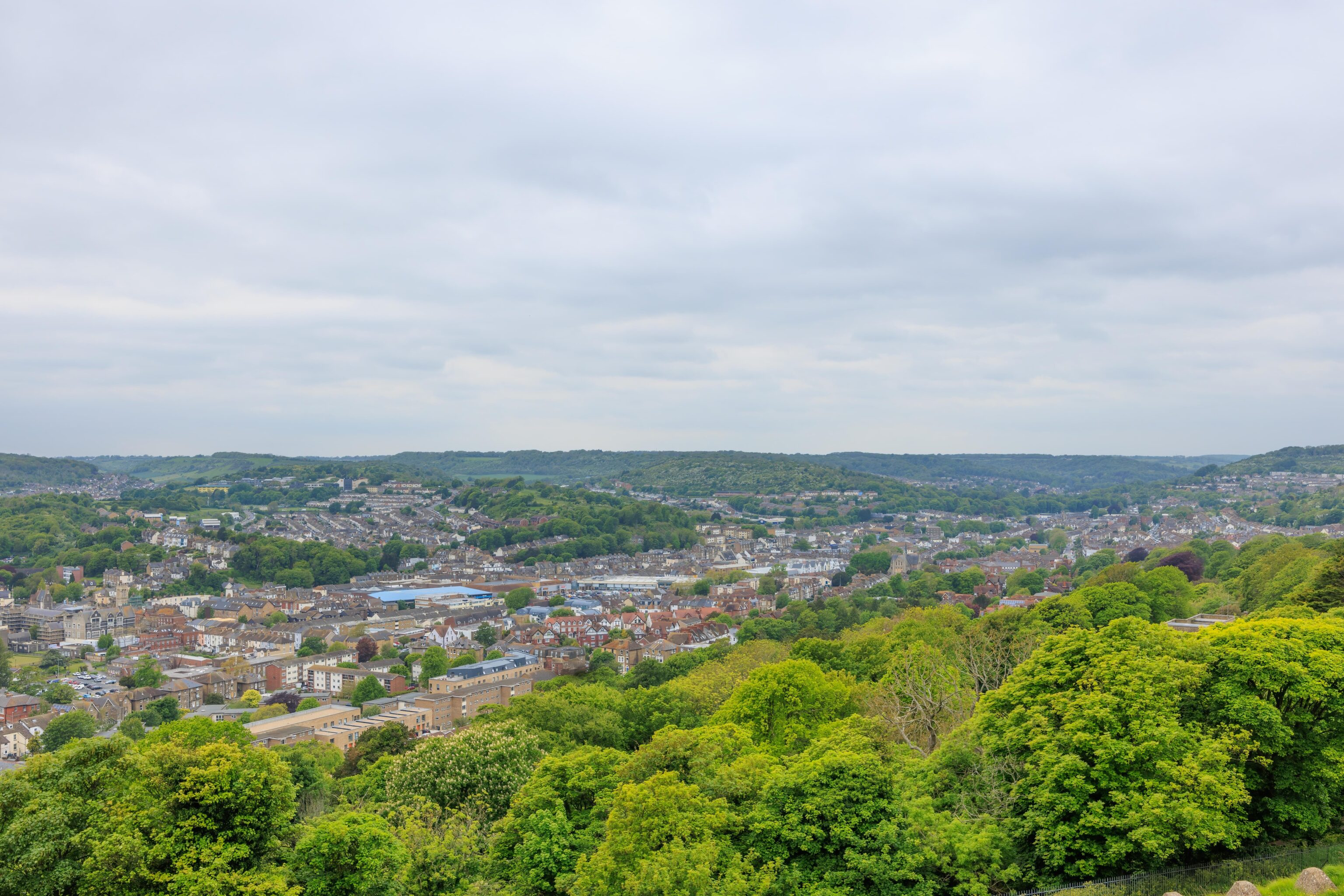
Looking to the west, we could see the three tiered parking lot. We parked in the lower lot. The top of the keep can be seen on the right, with the church and a bit of the lighthouse slightly to the left. The long, more modern looking building on the left is labelled as the Officers’ New Barracks. It didn’t seem to be open for visitors.
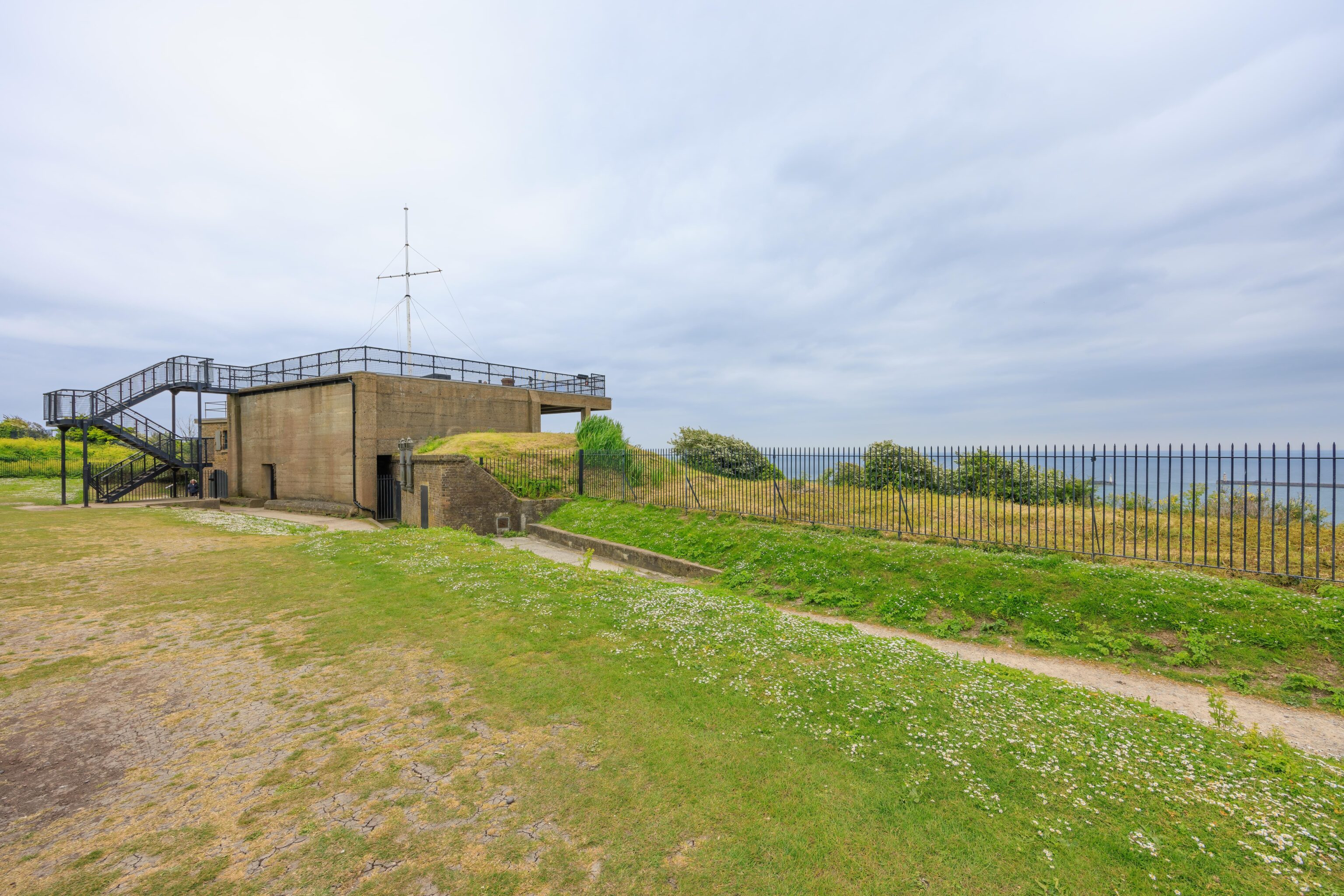
After reaching the southeast corner, we descended a set of stairs to get down to road level. There isn’t really a wall on the southern edge of the castle as it is atop the western edge of the White Cliffs of Dover. We walked via the southern side in front of, or perhaps behind, the Officers’ New Barracks until we reached a crosswalk. From there, we crossed the road and reached the World War I Fire Command Post.
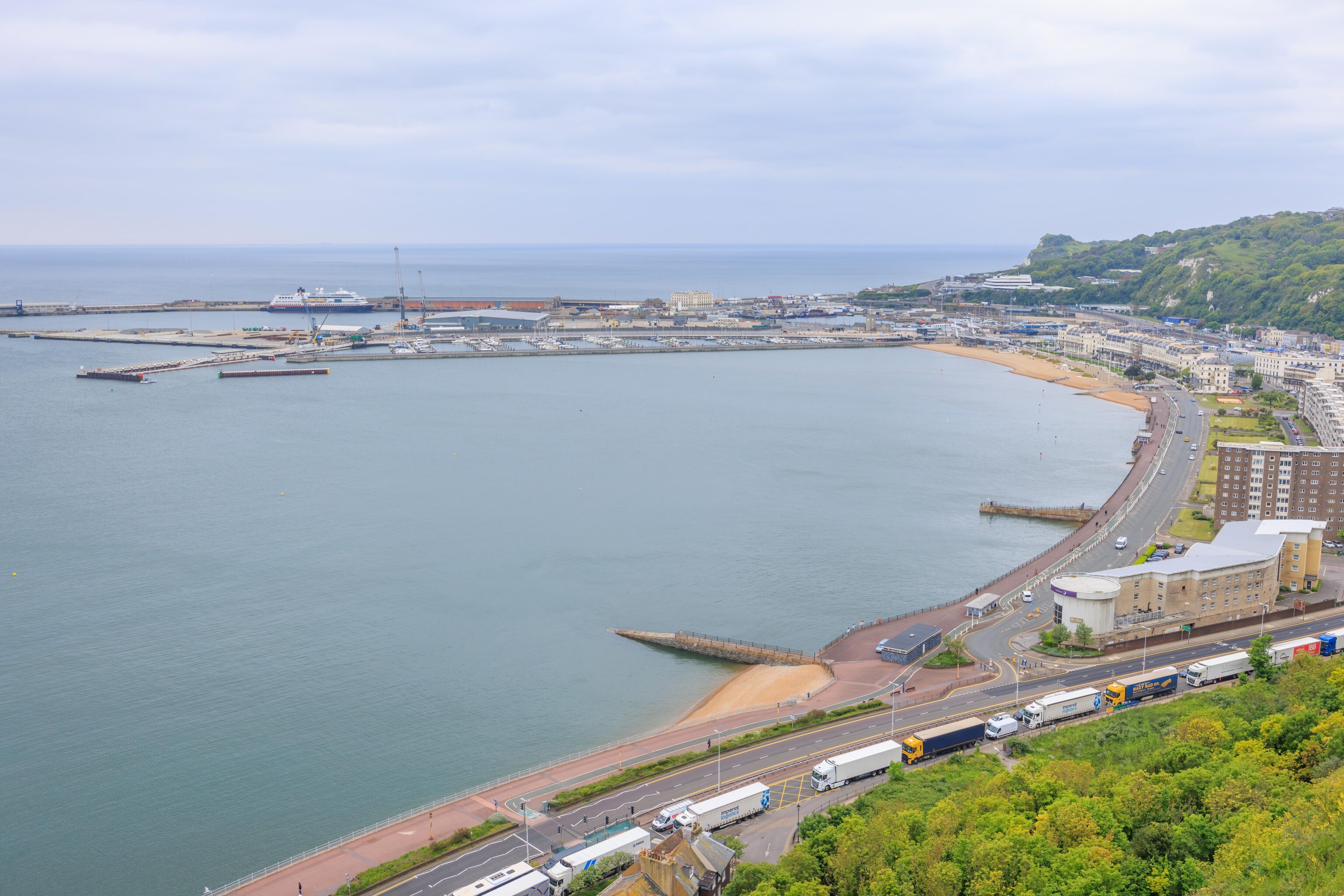
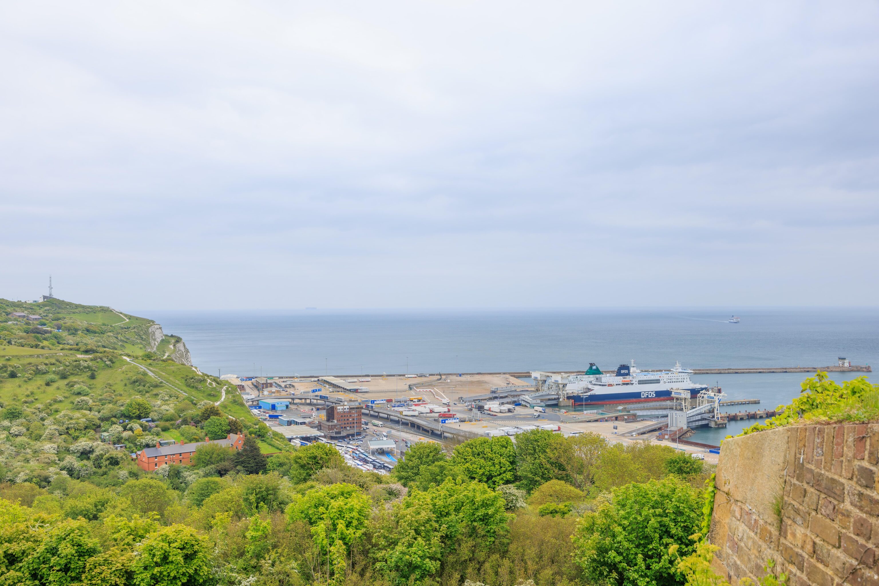
We first climbed up the stairs to the rooftop of the command post. It offered a fantastic panoramic view of the English Channel. To our right, we could see the western half of Dover’s harbor. There was a long queue of trucks waiting to load onto the ferries to France.
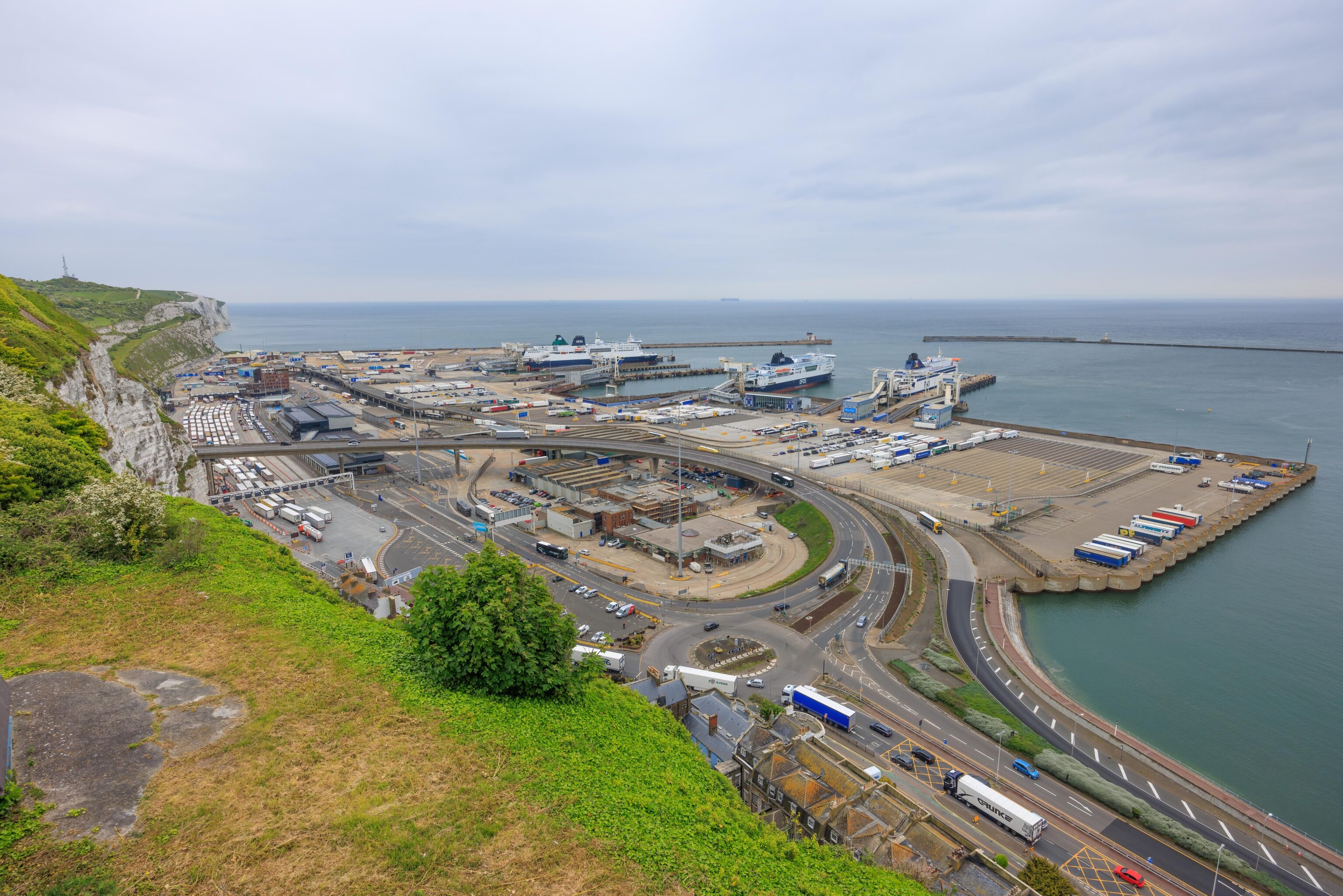
The ferry port, to the east, was constantly busy. The vehicular traffic seemed to consist primarily of trucks, though we did see some coaches as well.
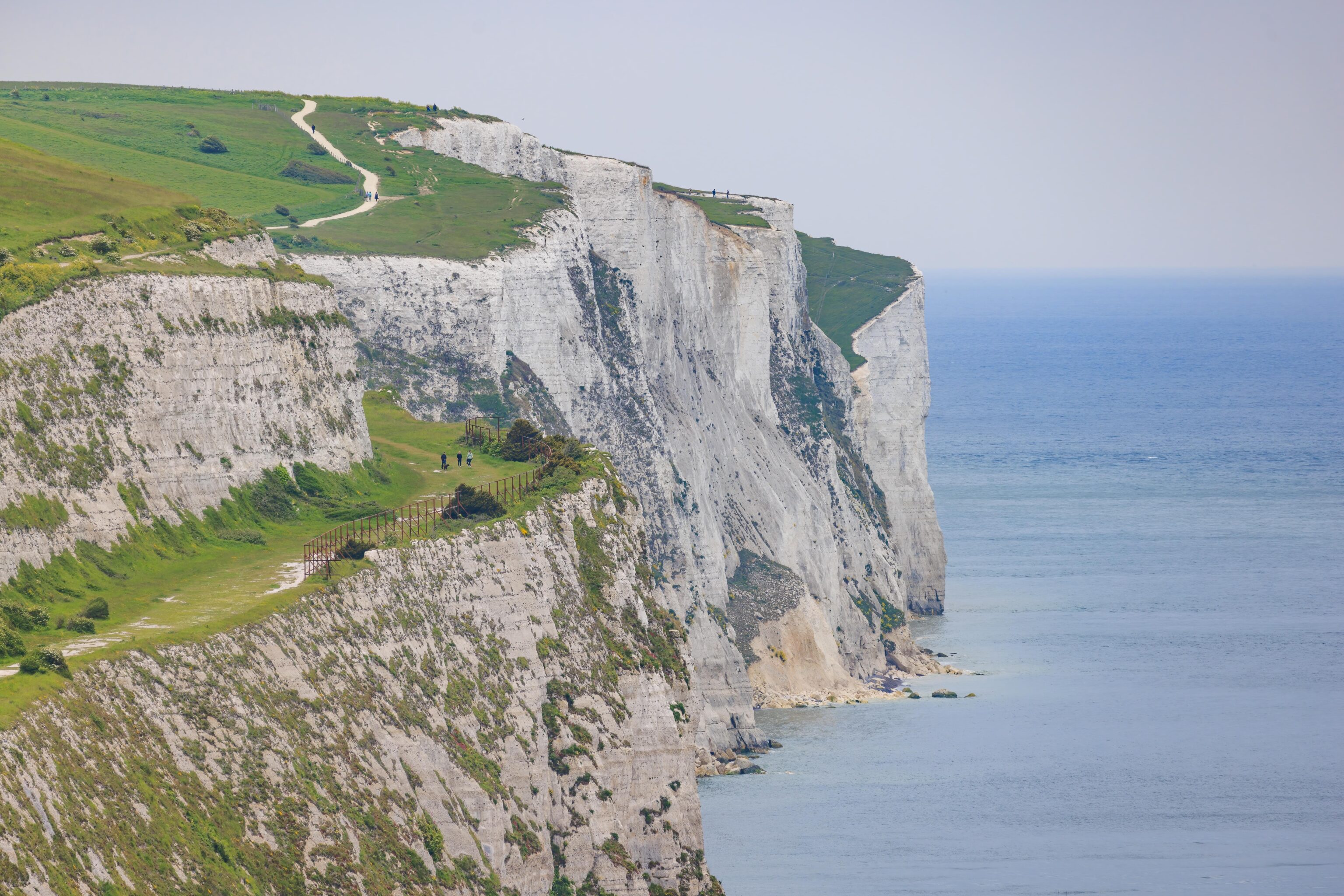
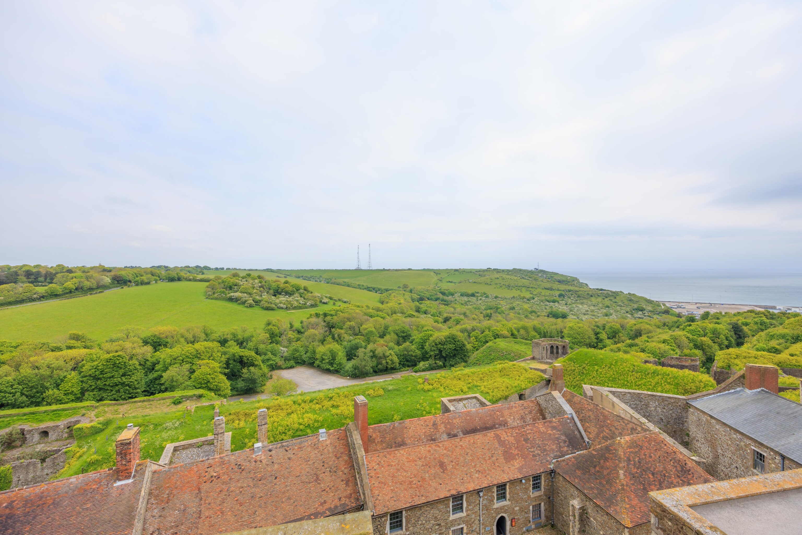
Looking further to the east, we could see the famous White Cliffs of Dover. We could also see the pathways in the National Trust park above as well as people walking around.
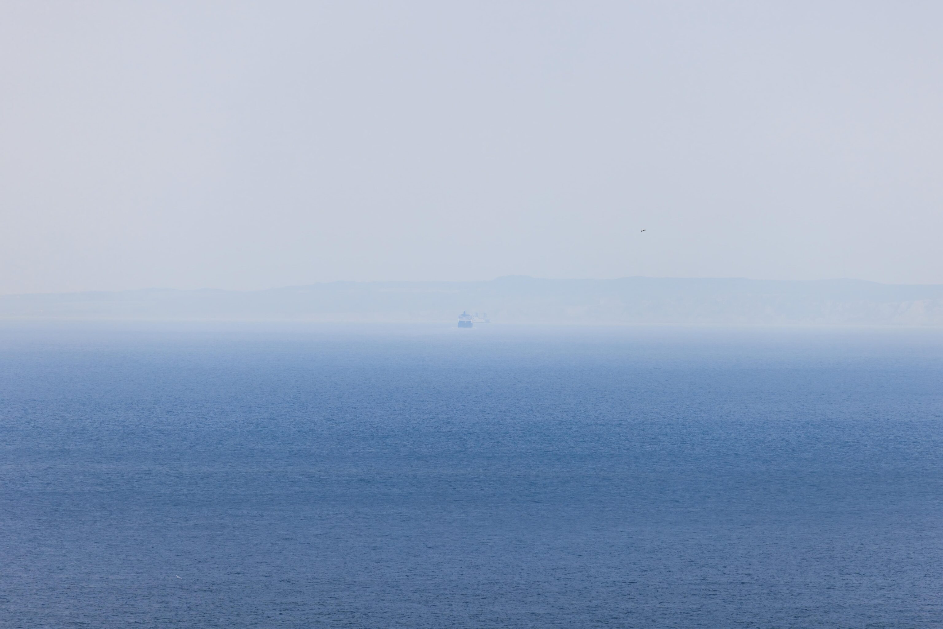
It was a bit hazy but we could just barely see the French coast on the other side of the English Channel. We were lucky to be able to see France as it wasn’t always visible during our visit.
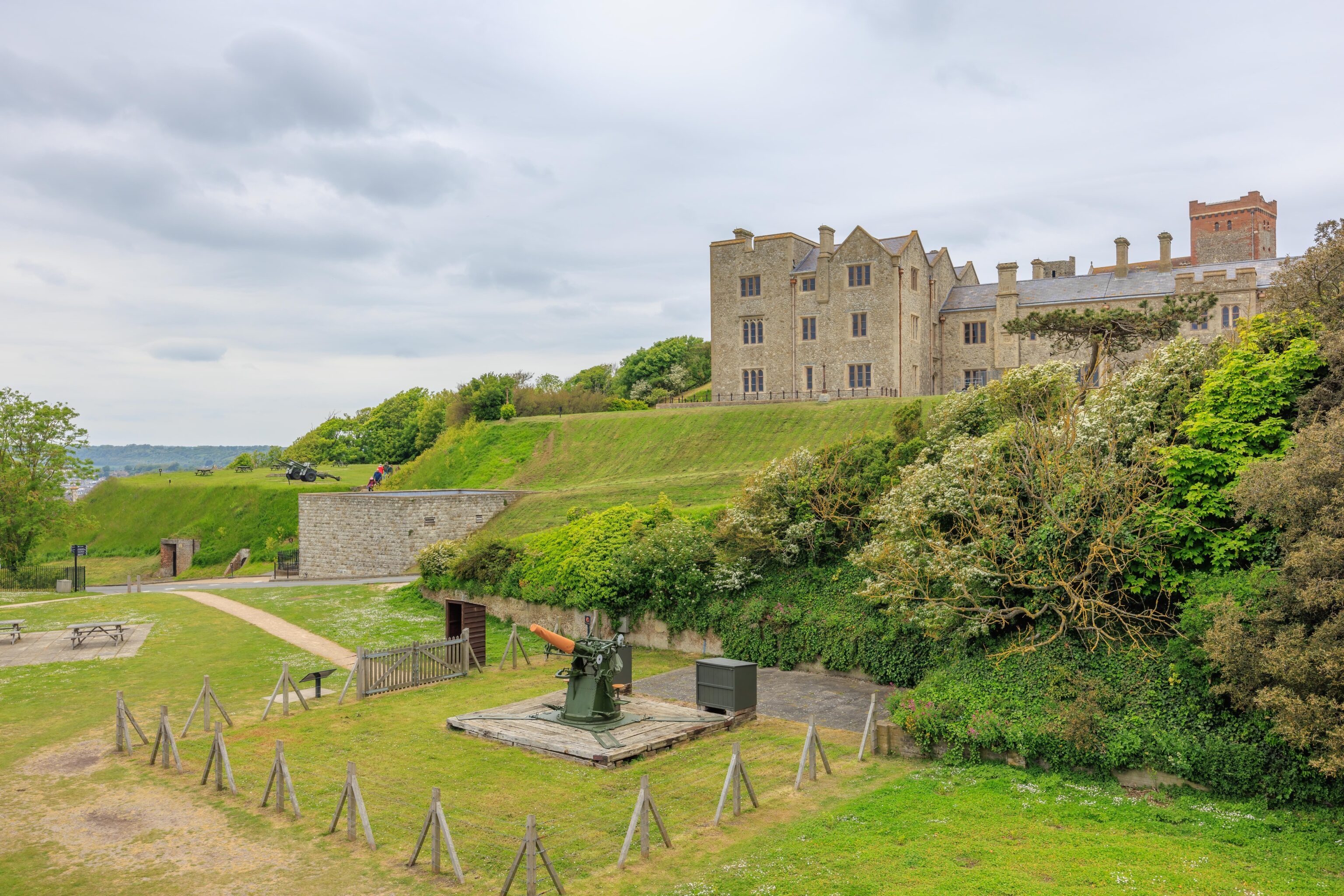
Looking inland, we could see a World War I 3″ gun. The gun is functional and used for gunnery demonstrations during the summer. It is apparently the only working copy of this particular model of gun.
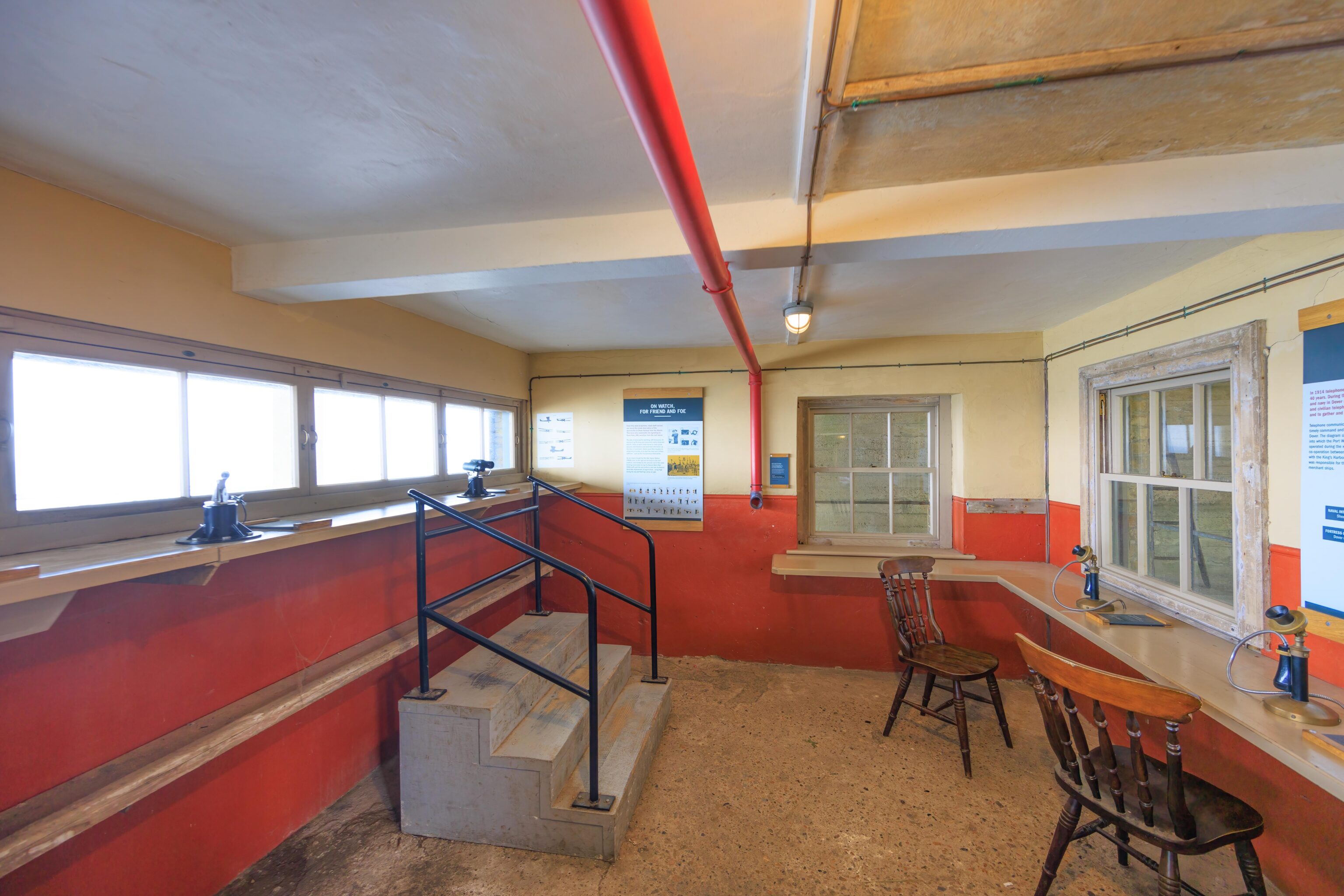
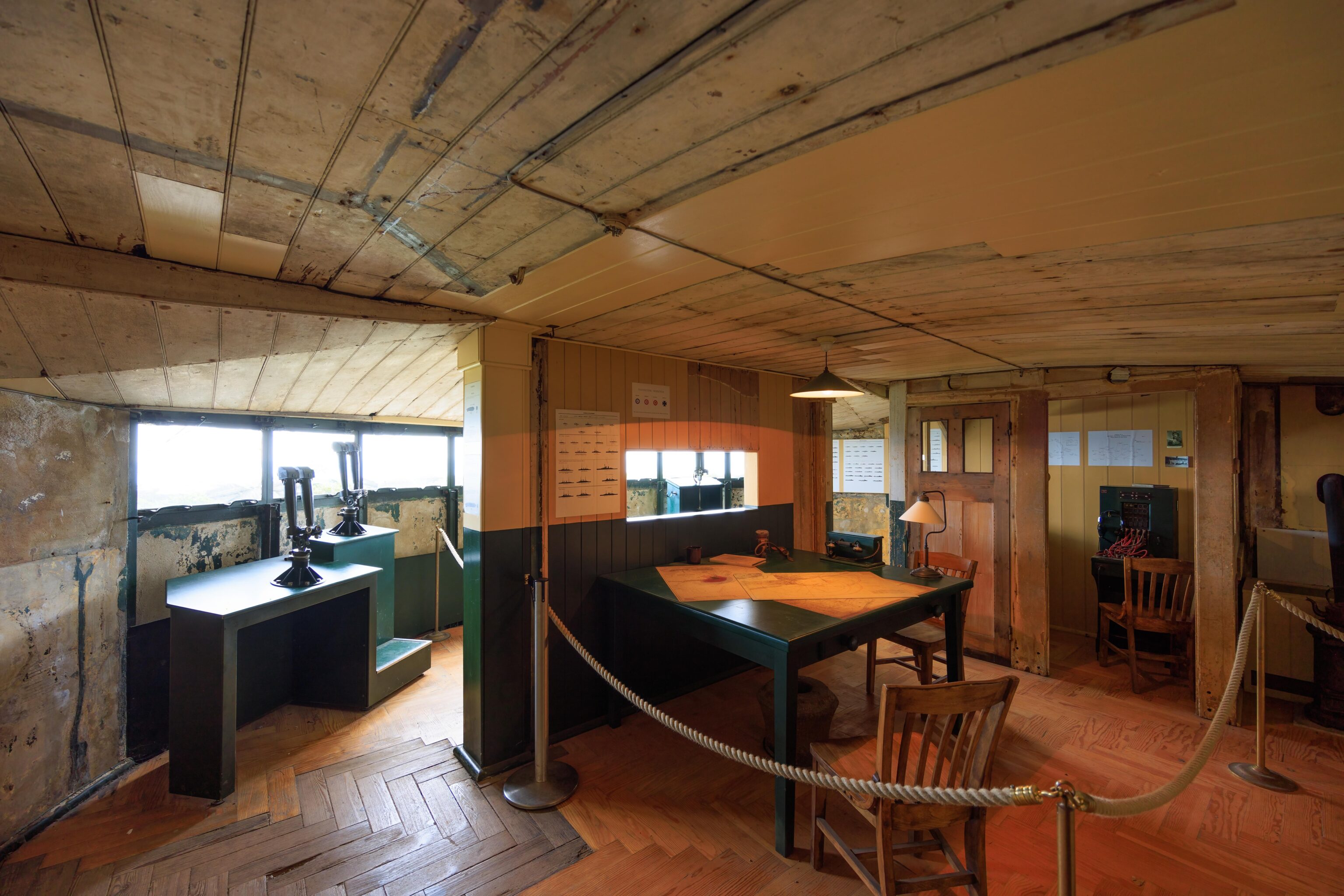
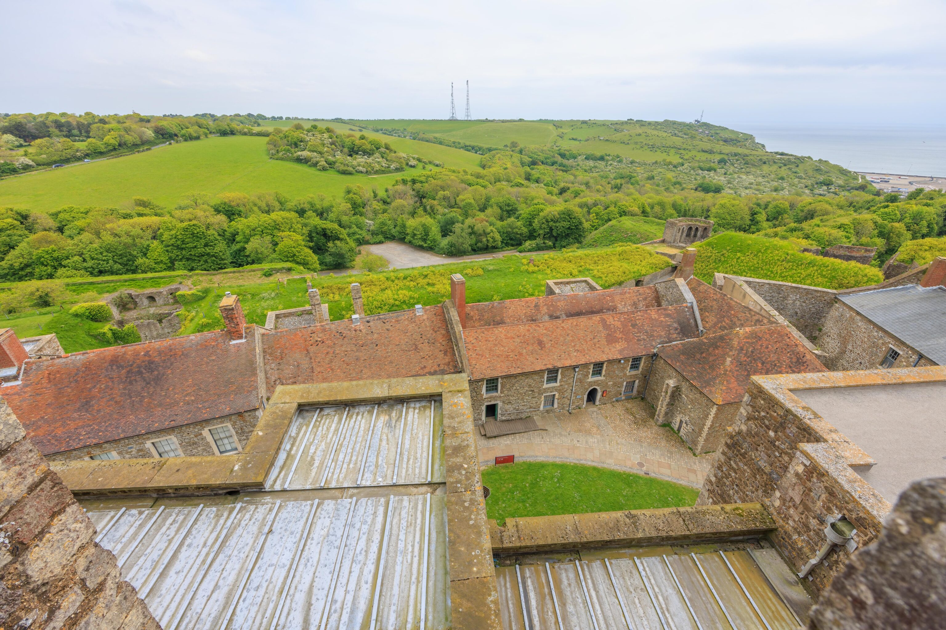
There are two floors inside the structure. There are windows for spotting ships and radio equipment for communications.
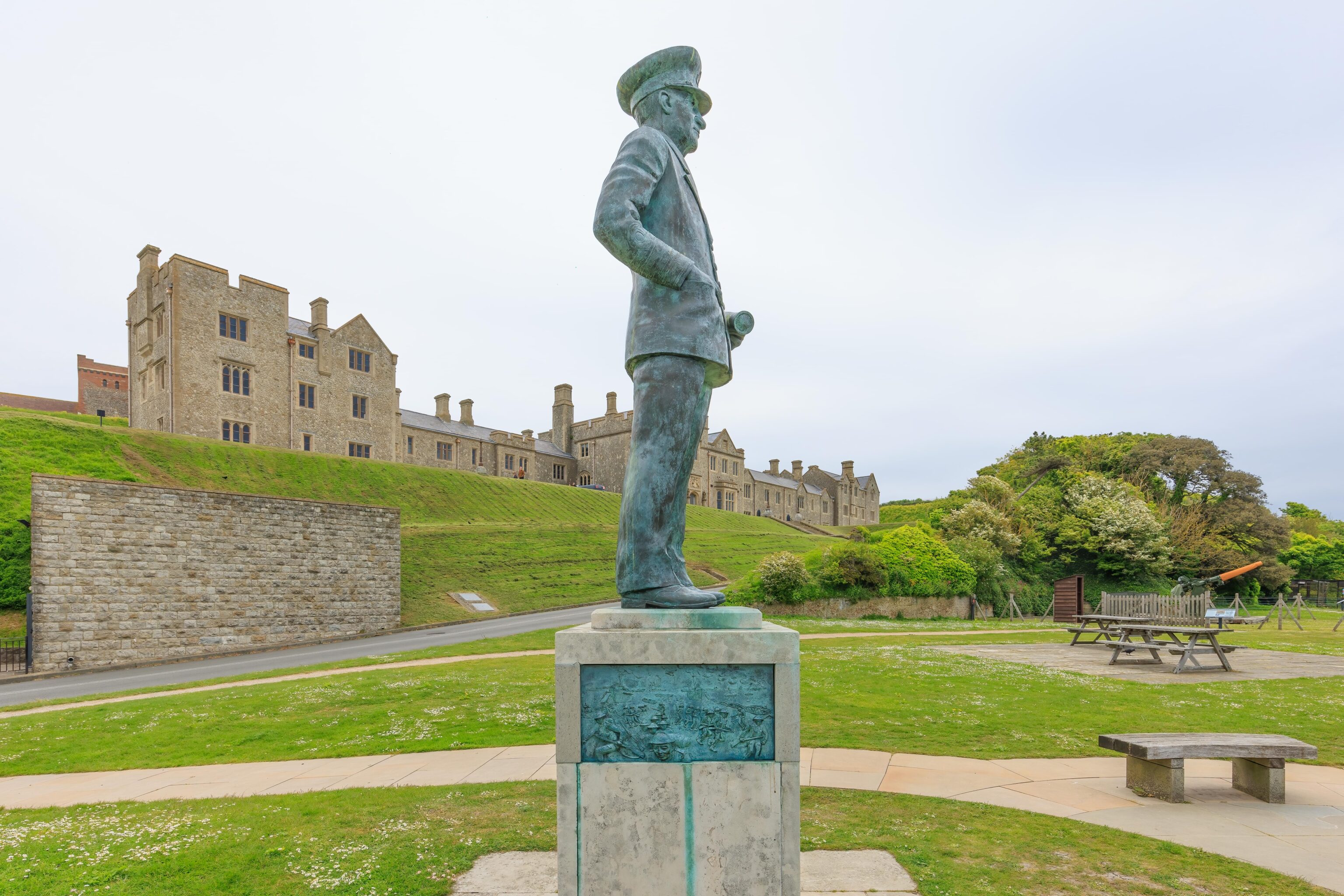
Outside, there is a statue of Admiral Ramsay. At the beginning of World War II, he commanded the naval forces at Dover as a vice-admiral. He was in charge of Operation Dynamo, the British efforts to rescue the soldiers that were surrounded at Dunkirk. He was knighted for his work. The rescue was portrayed in the recent movie Dunkirk. Unfortunately, Ramsay does not appear in the movie as it mostly focuses on events on or near the beach. Ramsay was also in command of (all?) the naval forces for D-Day, so he had quite a resume. Unfortunately, he did not survive the war as he died in an airplane crash in France.
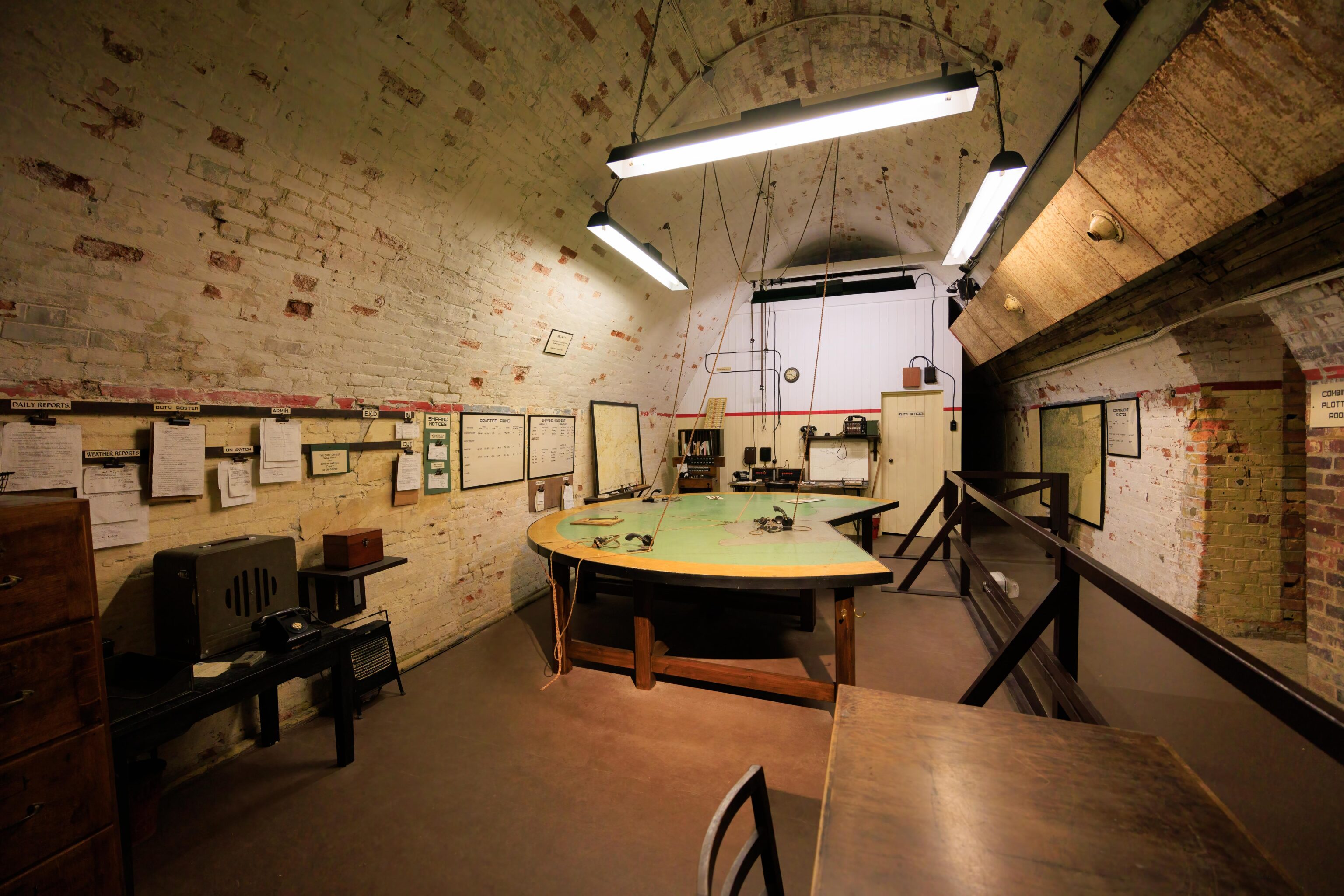
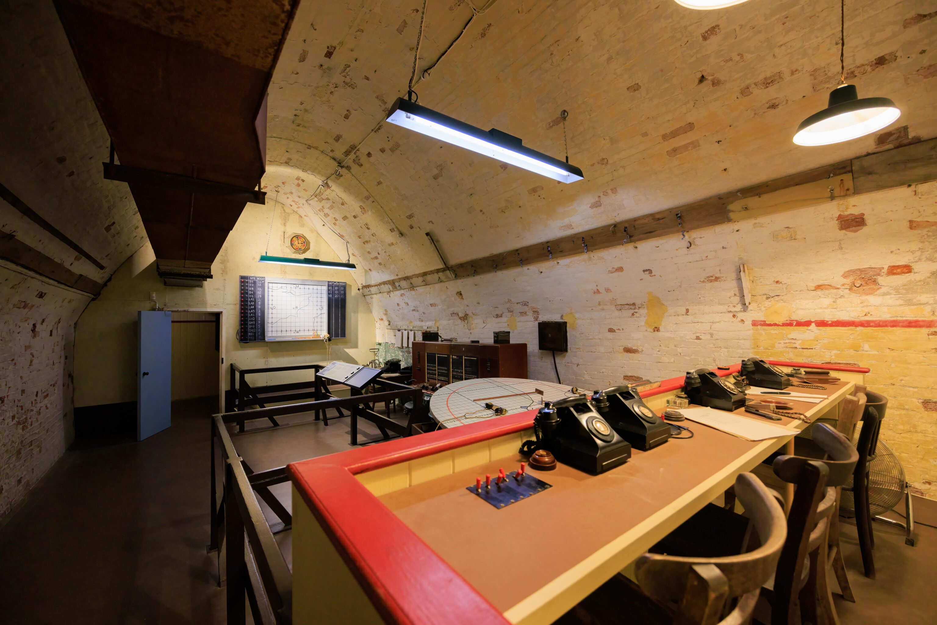
We headed west and down a steep slope to the Secret Wartime Tunnels. These tunnels were dug in the 1800s and expanded during World War II. They can only be accessed by guided tour, included in the admission price. There are two tours, one focused on an underground hospital and another on Operation Dynamo. We ended up doing the Dynamo tour. The tour primarily consists of a series of elaborate video shows explaining what happened in the Dunkirk rescue.
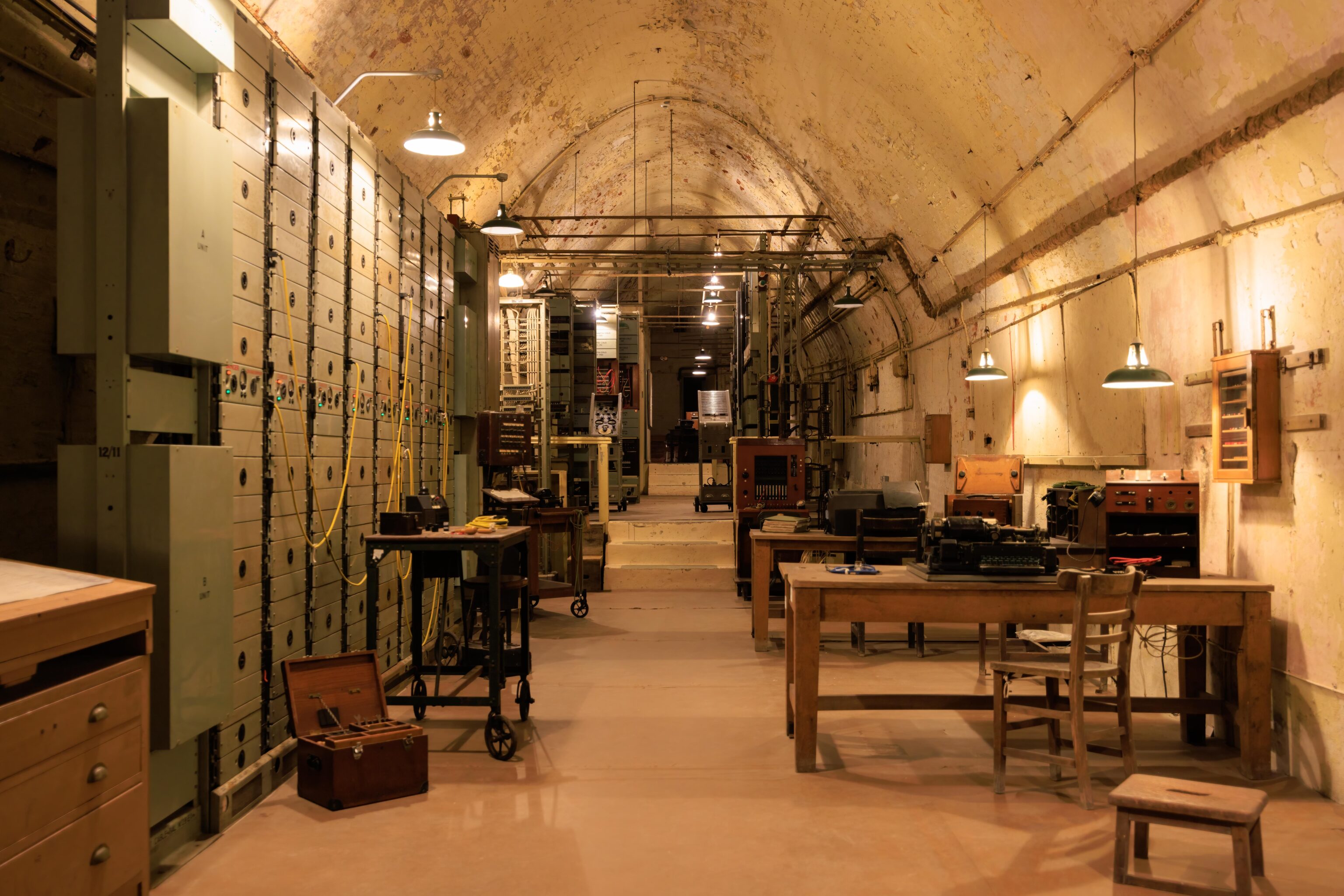
At the end of the tour, there is a small portion of the tunnels that can be explored independently. The rooms that we could see included command and control spaces as well as quite a bit of communications equipment.
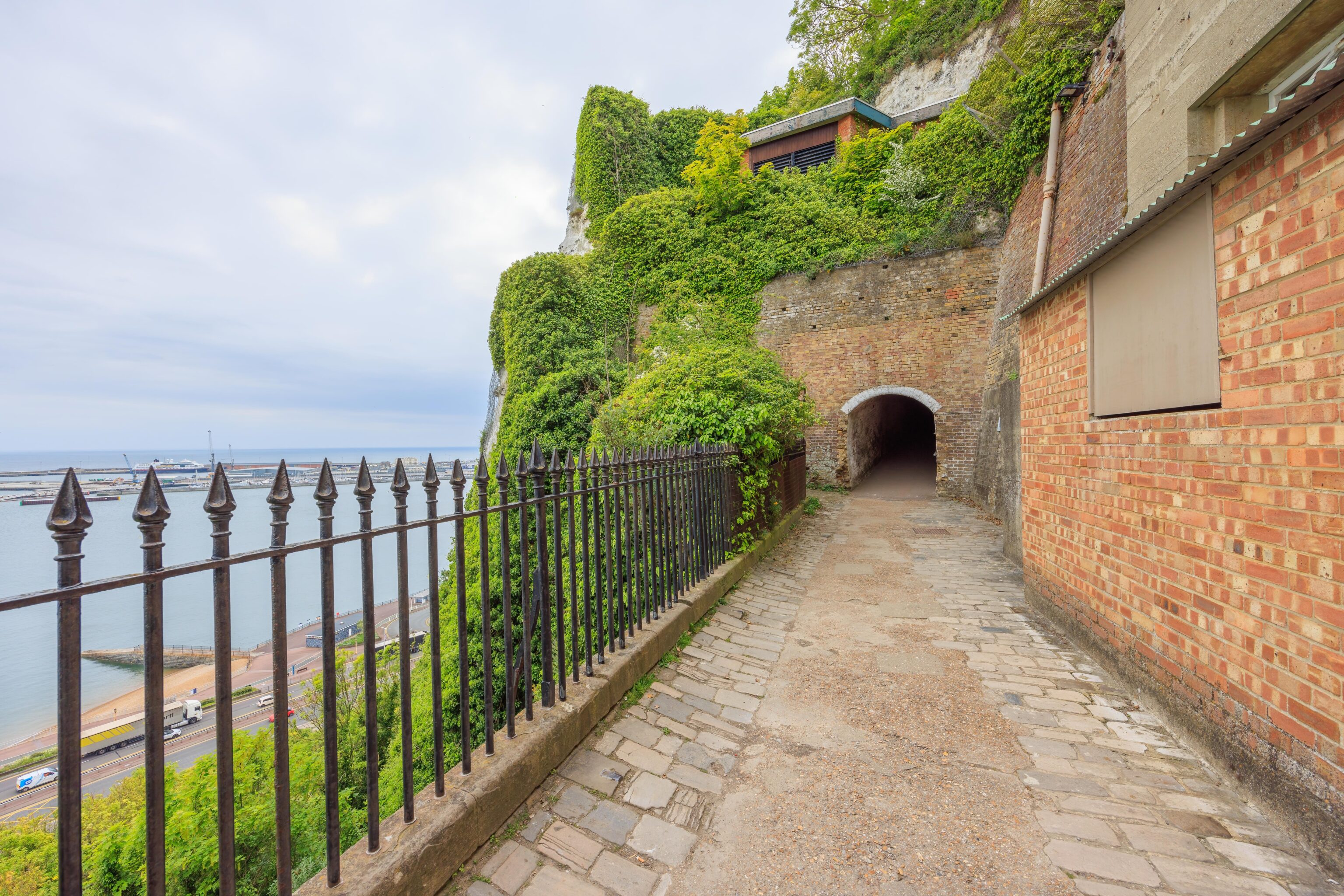
There is a gift shop at the end of a route as well as a small cafe, though the cafe was closed when we visited. The exit opens out to a paved ledge on the side of the White Cliffs of Dover.

There is a nice harbor view.
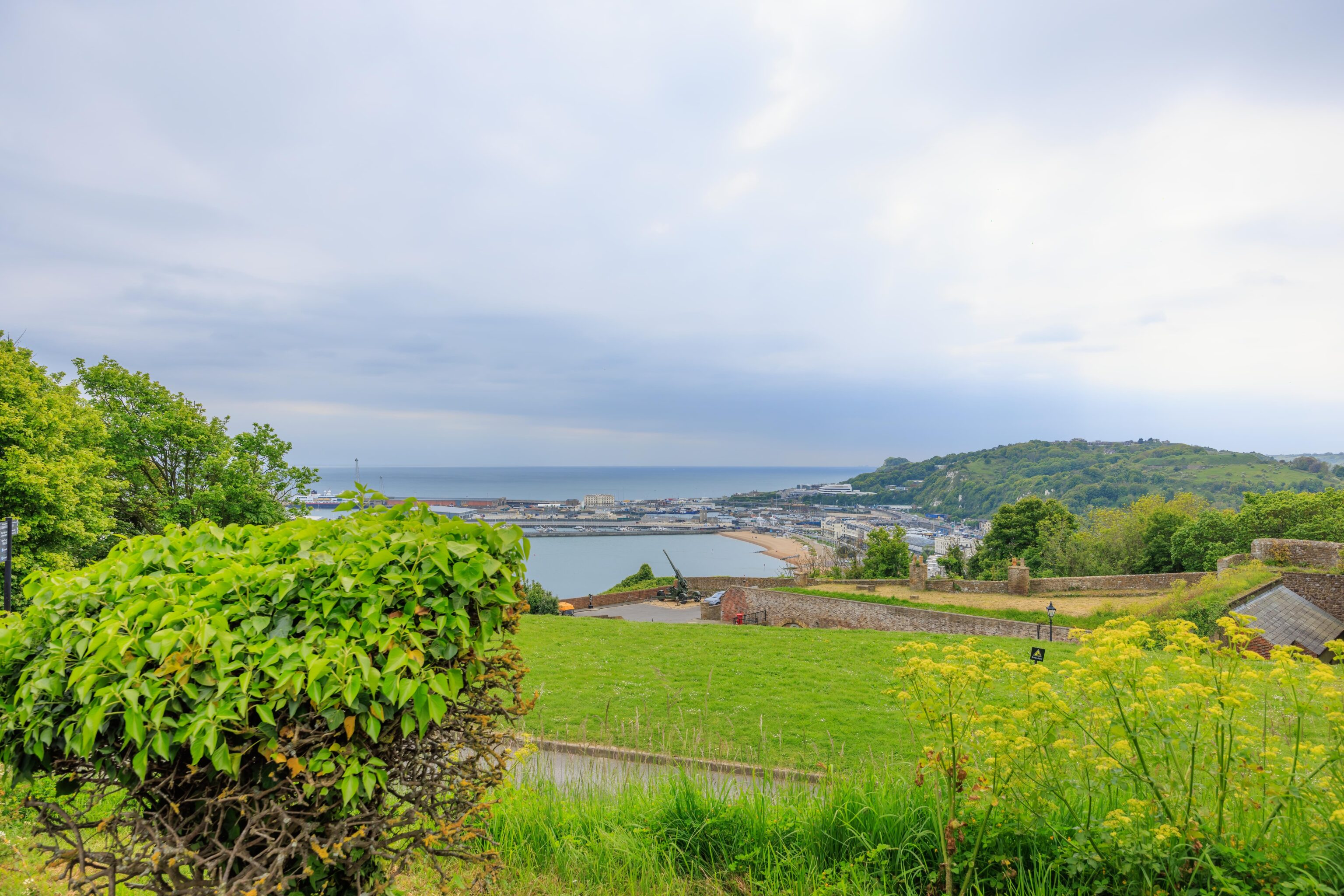
There was quite a bit of uphill walking to get back to the parking lot. The tunnel entrances are down by the gun near the center of this frame.
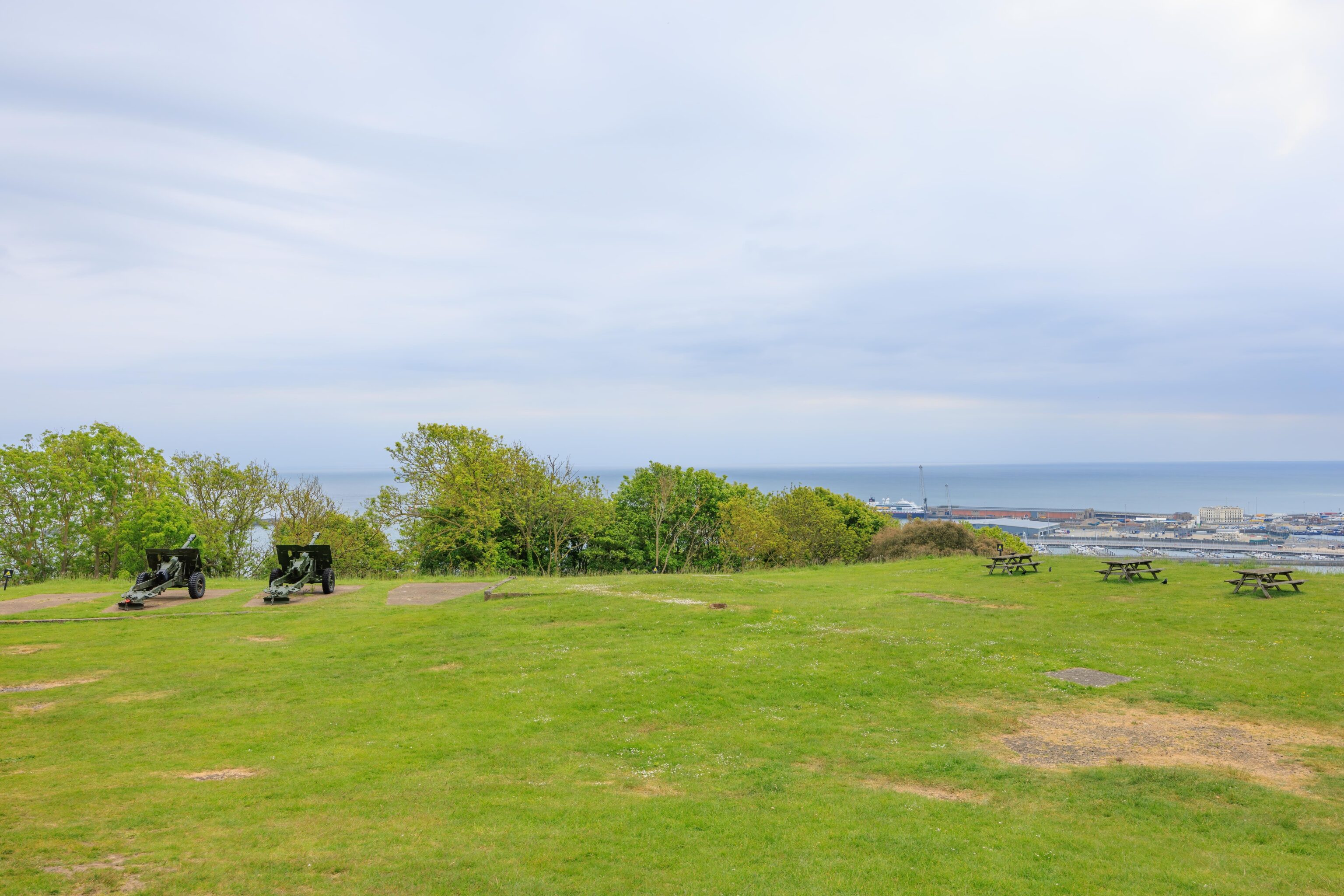
We were above this field earlier in the day when we walked up a hill by the ticket building.
White Cliffs of Dover
After leaving Dover Castle, we did the 5 minute drive to the National Trust‘s White Cliffs of Dover parking lot. Well, it would have been 5 minutes if we didn’t miss a turn! We parked one level above the visitor center as the parking lot was tiered in that area.
The parking lot is right above the eastern edge of the ferry port. We could see Dover Castle in the distance.
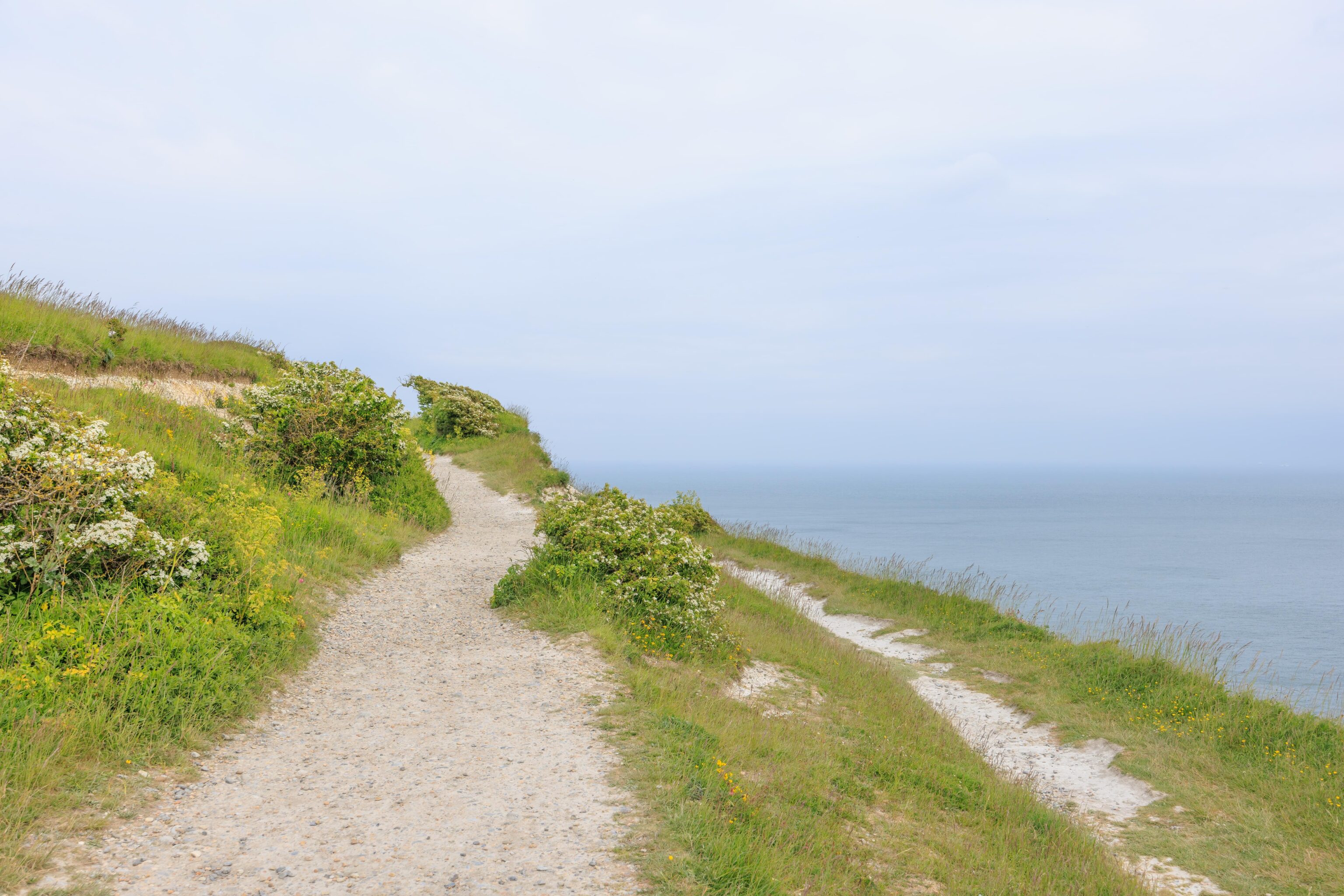
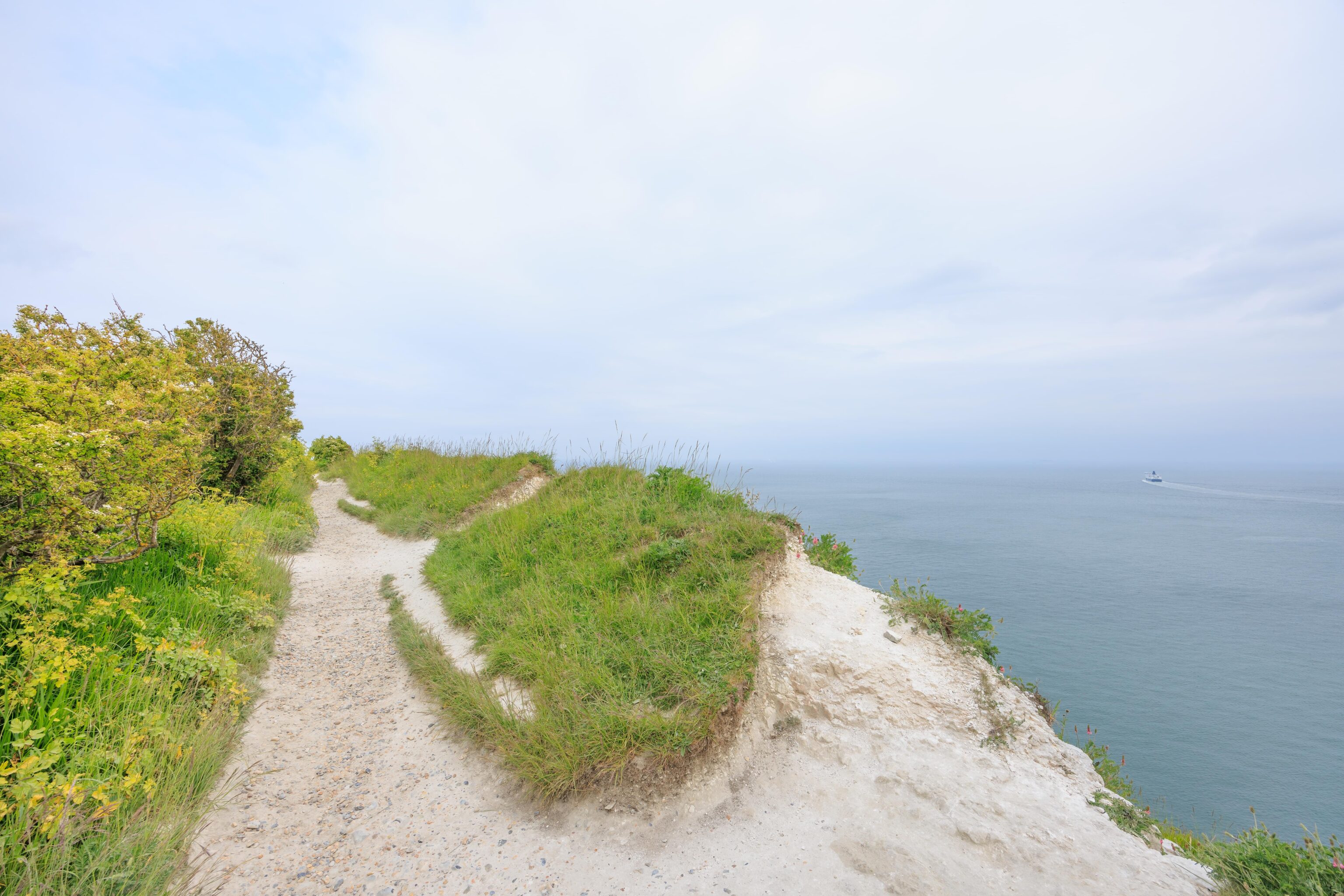
There are multiple paths to take from the visitor center [map]. We took the one marked yellow. It runs by the cliff’s edge. There are places where there are informal paths closer to the cliff but they end before rejoining the main trail above.
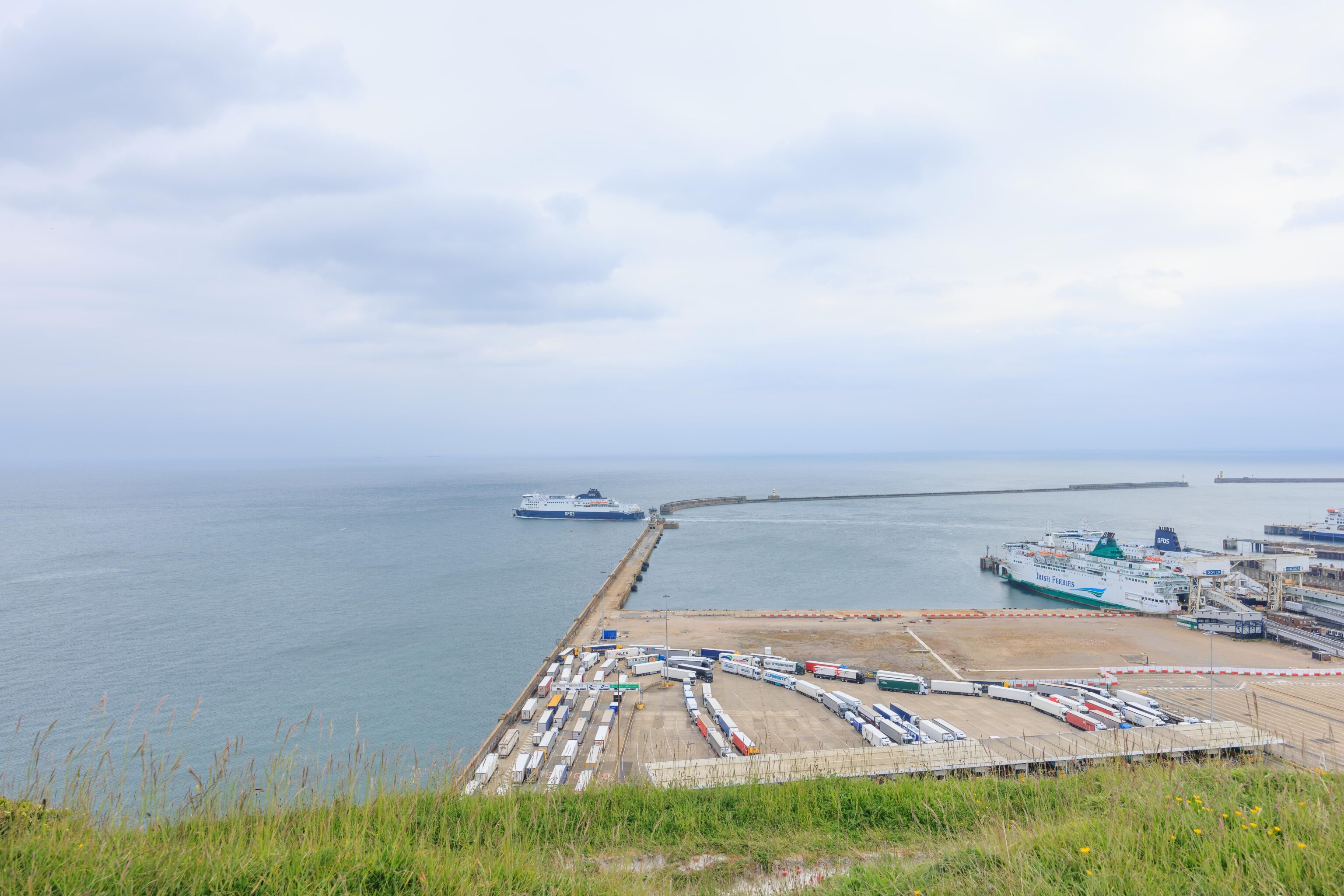
We passed by the edge of the ferry port as a ferry was heading out to cross the English Channel. There are multiple ferry operators and they run to both Calais and Dunkirk in France.
We went left here…
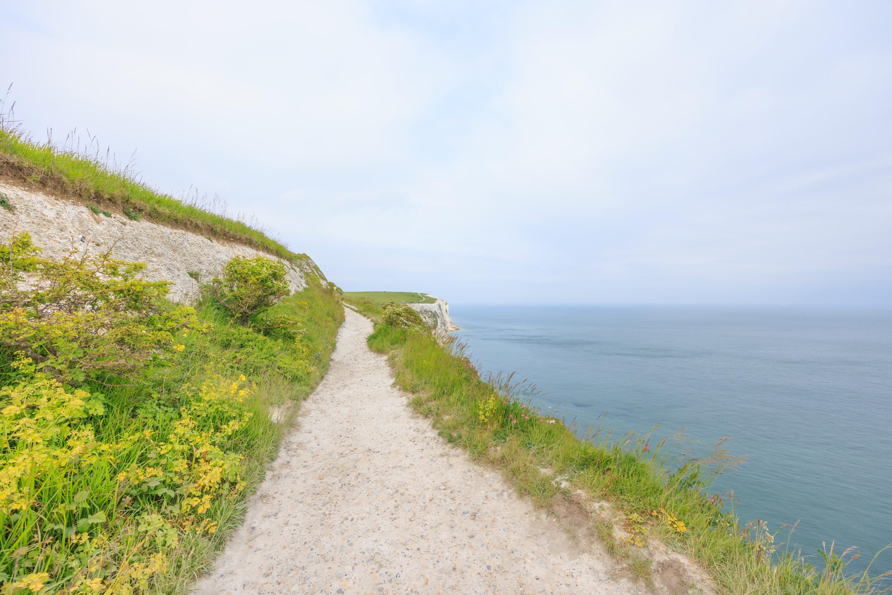
The trail got pretty narrow in places.
While you definitely don’t want to go over the edge, at least you wouldn’t end up in the water. There was a lower path below us. It is on the map though not identified as a colored route.
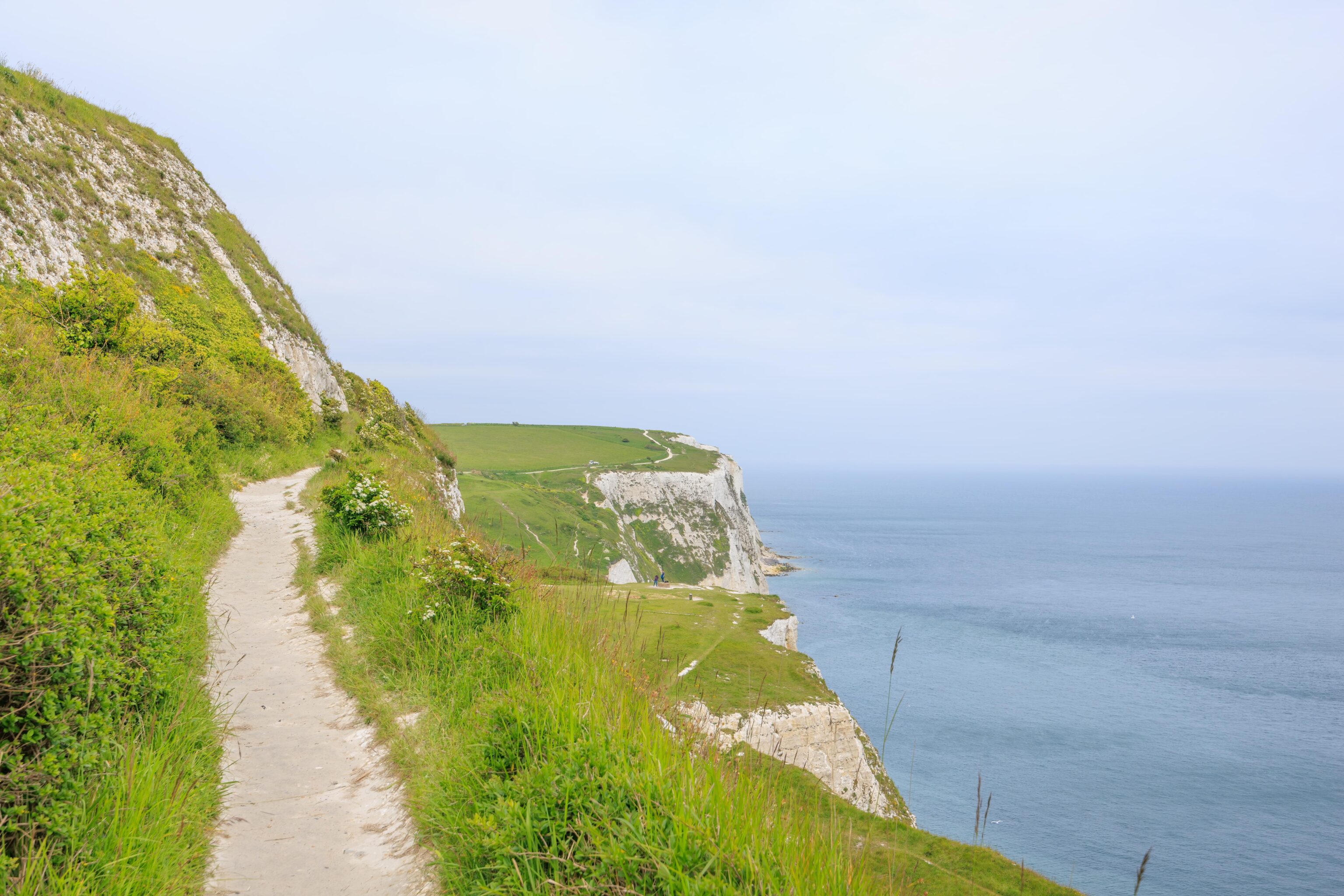
Soon, we could see land in front of us. Our ultimate destination is the middle point of land that is sticking out into the channel.
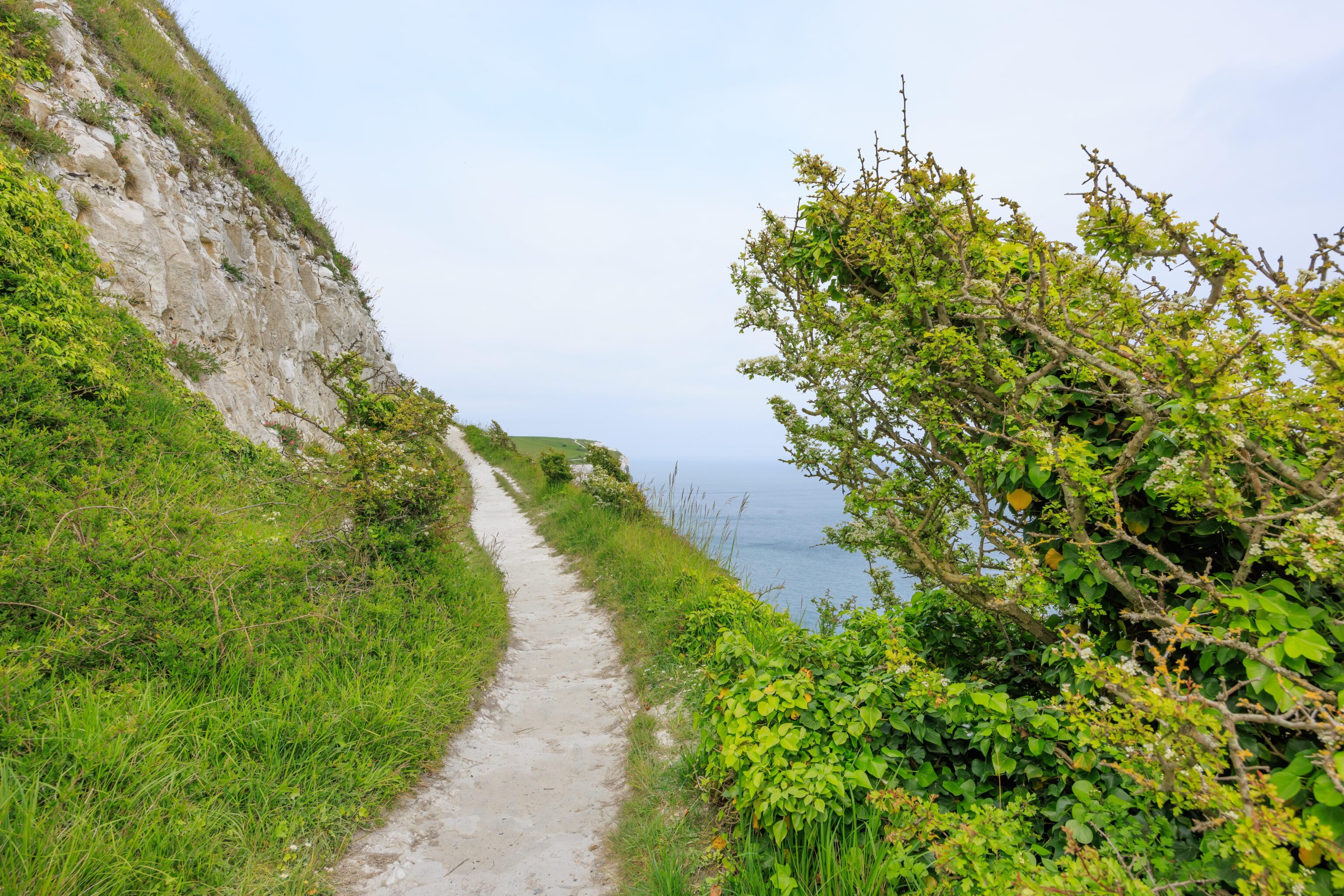
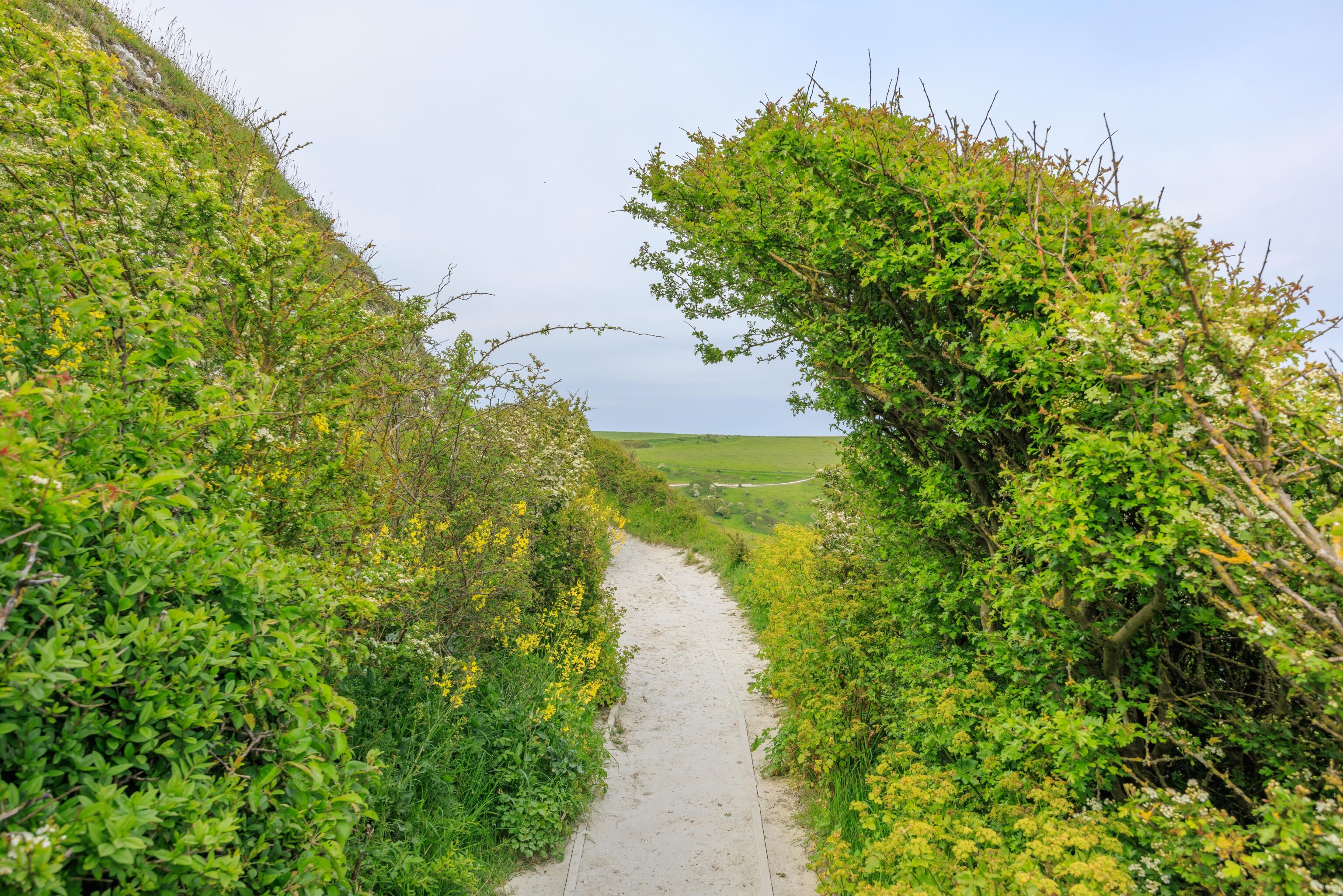
There were a few bushes that looked like dinosaurs, or Godzilla, arching over the path.
That’s where we’re going, right below us!
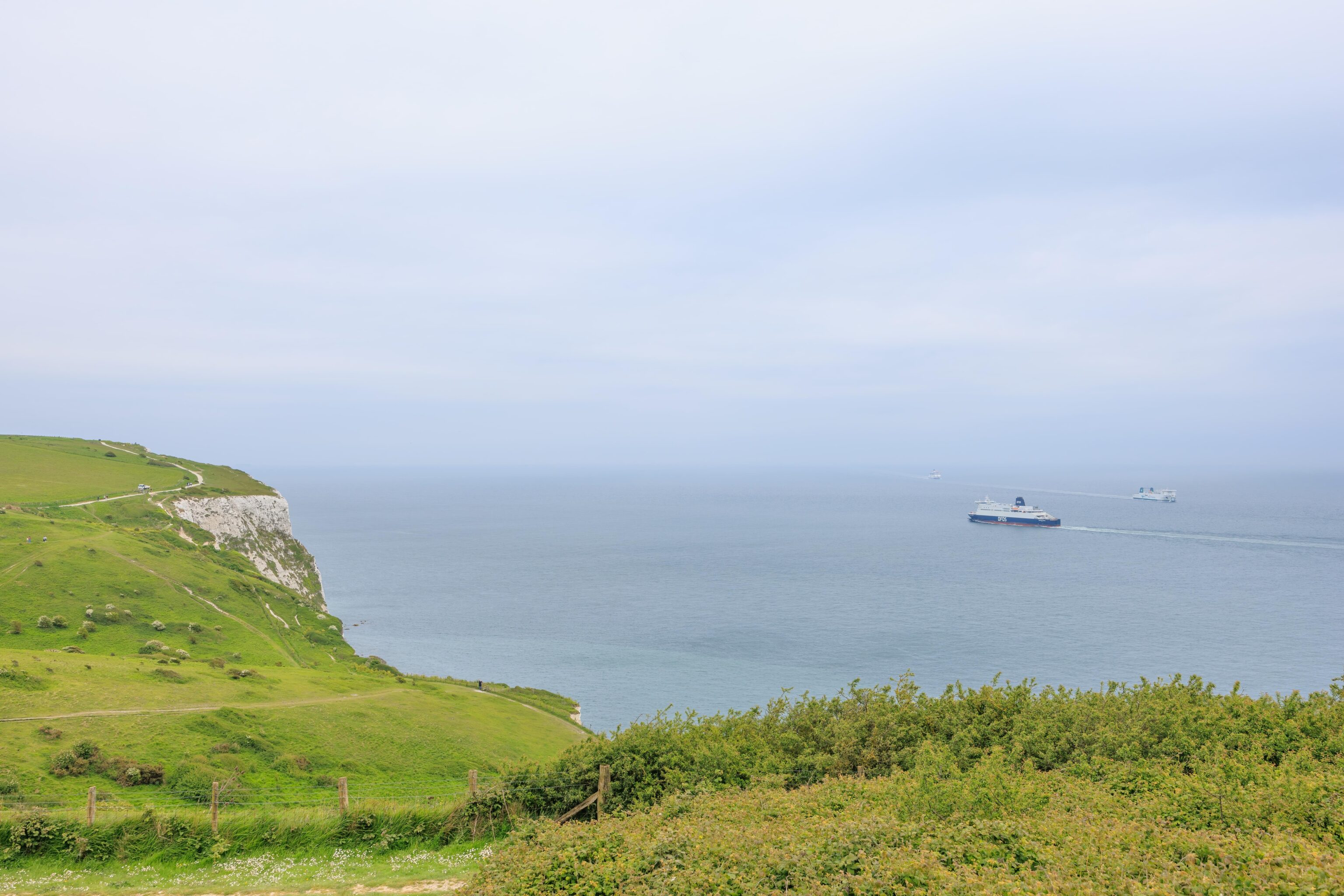
We always saw ferries coming and going. We could also always see a few cargo ships in the hazy distance.
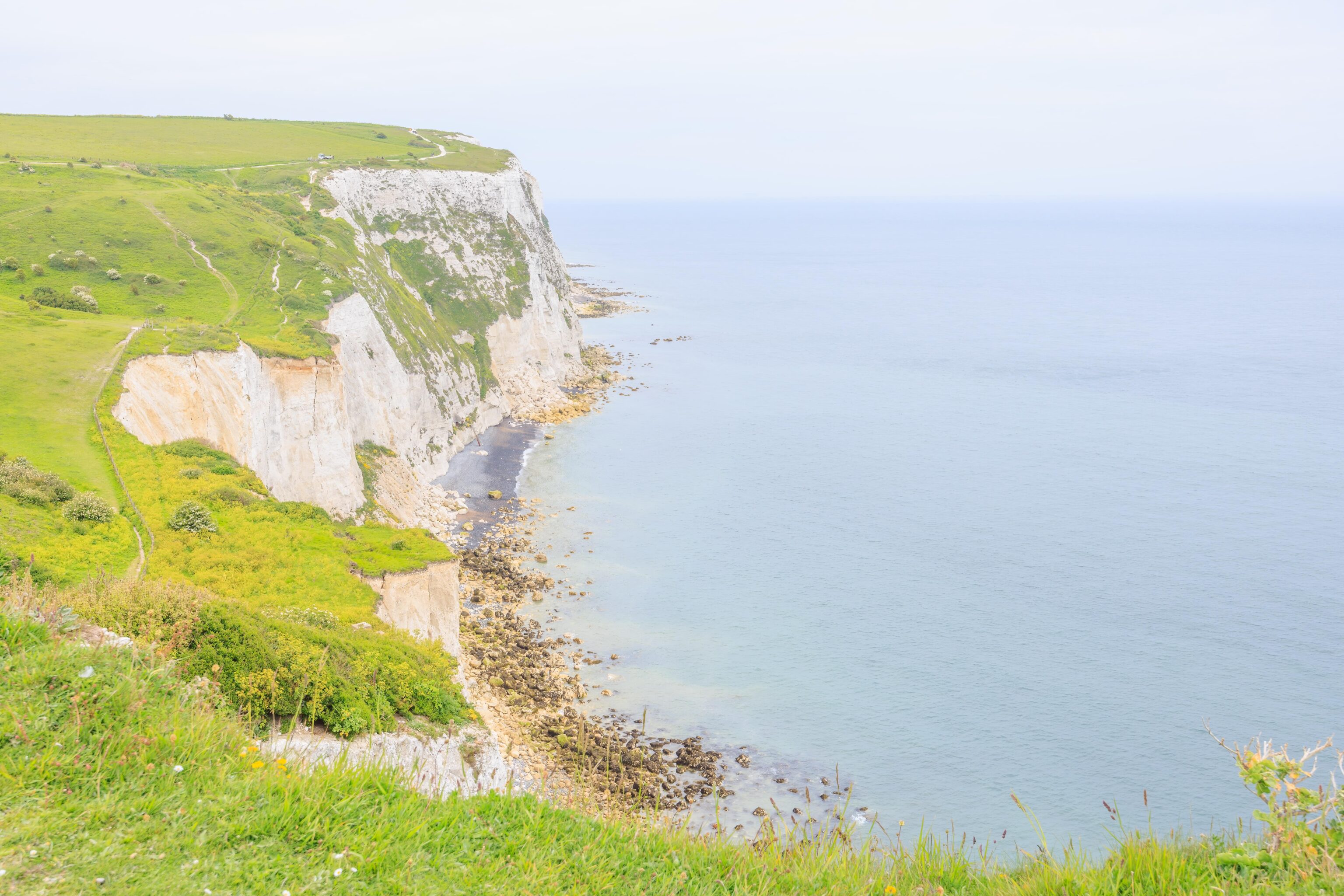
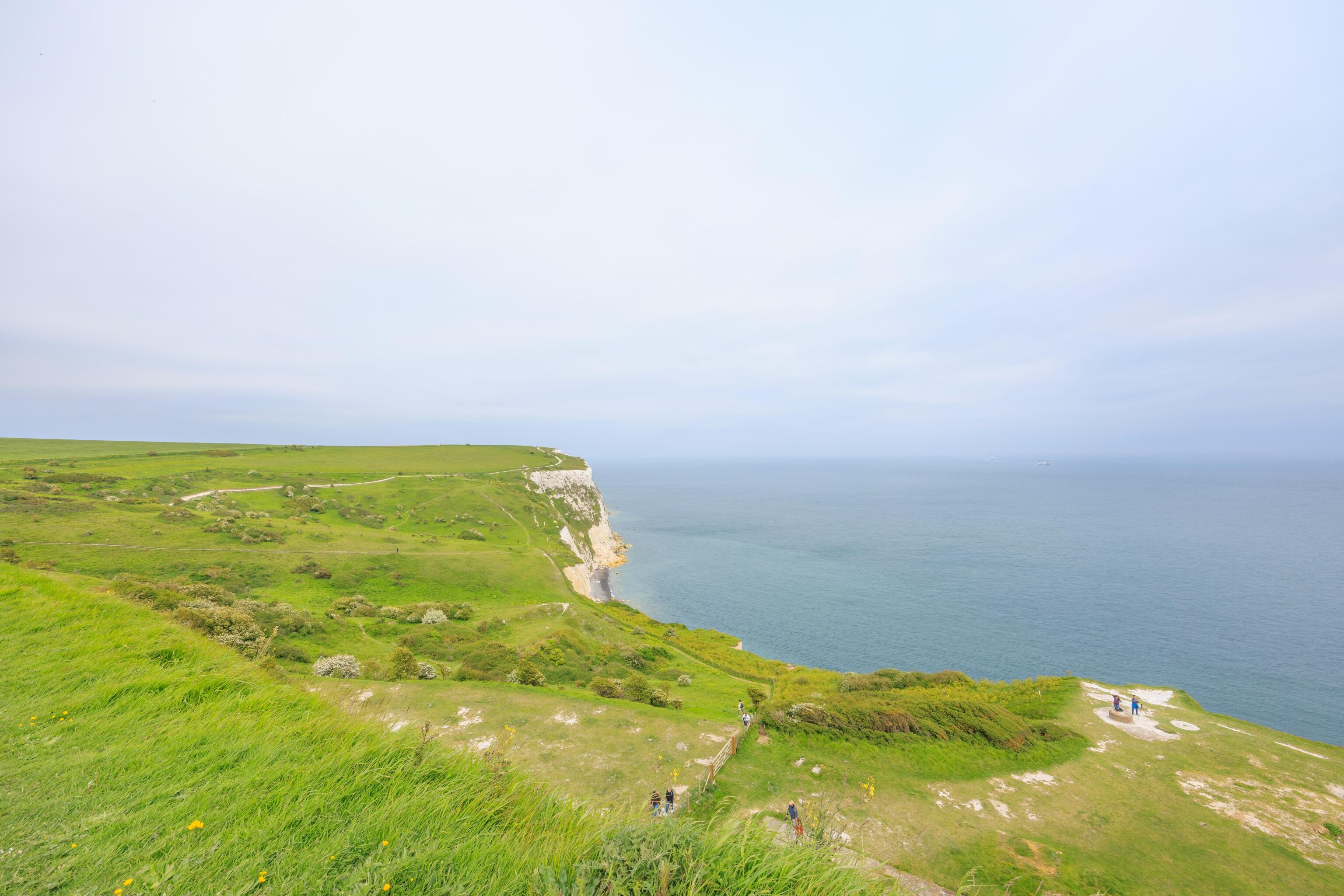
We continued walking. The path soon descended steeply. We took a junction that led to our destination. From this promontory, we could see the cliffs to the east. There was what appears to be a black sand beach down below. The path continued above the cliffs but this is as far as we had time to go.
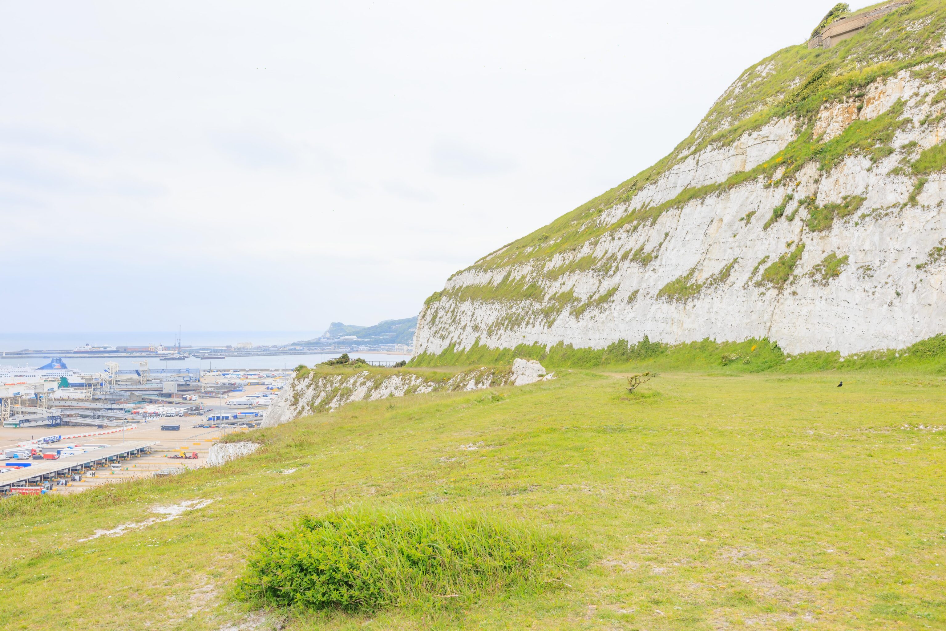
The path here, to the west, is the same route that we saw below us. We arrived via somewhere above the white cliffs to the right.
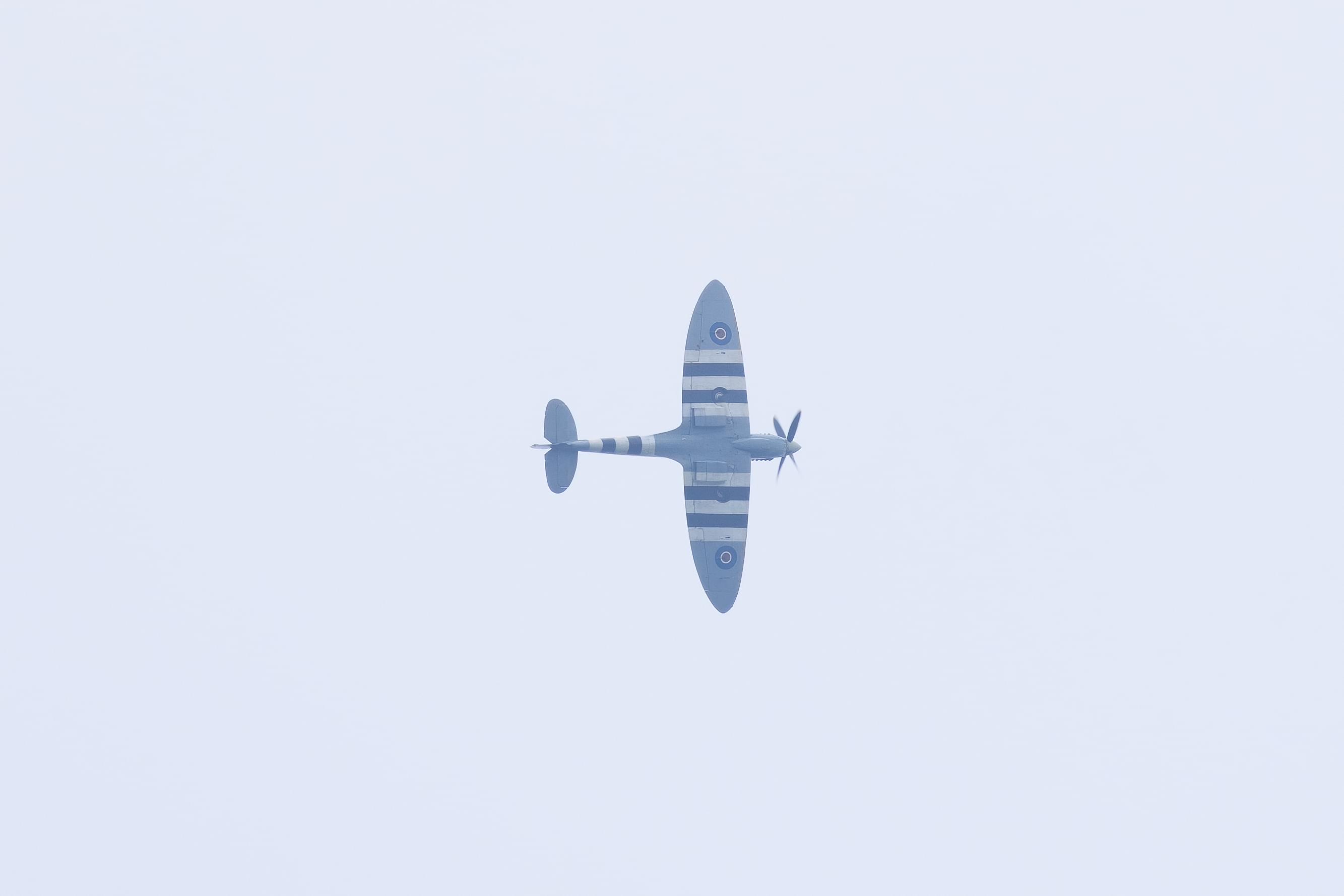
We soon heard the sound of piston powered aircraft. We saw two, what looked like a fighter plane and a Cessna. They flew past in very close formation. The fighter appeared to maneuver near the Cessna. They were likely shooting video or photos. After awhile, they came back and flew overheard. The fighter appears to be a British Spitfire from World War II with invasion stripes on the wings.
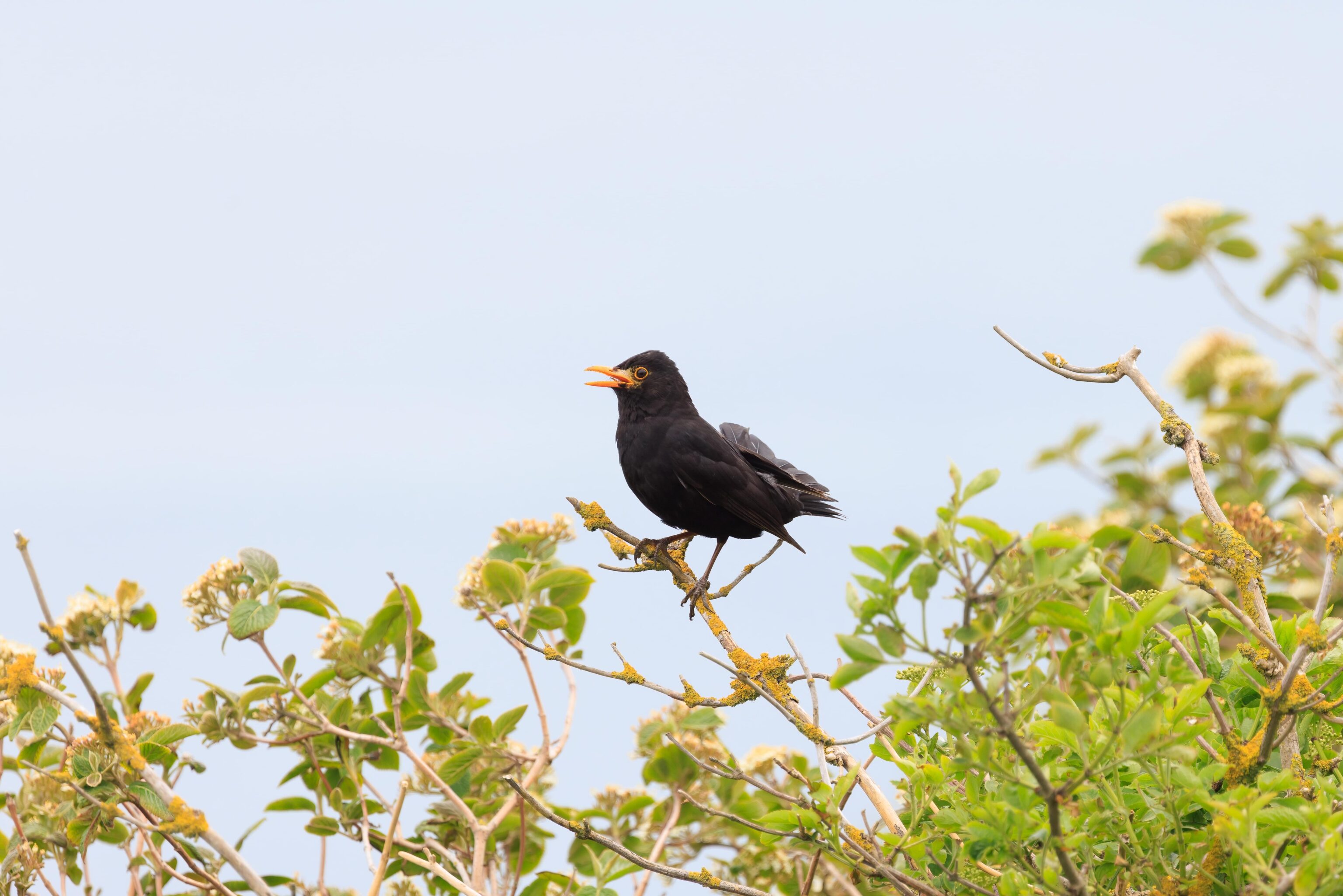
We also saw other, smaller birds. This Eurasian Blackbird was singing on a bush. It is a thrush, the same family as the misnamed American Robin.
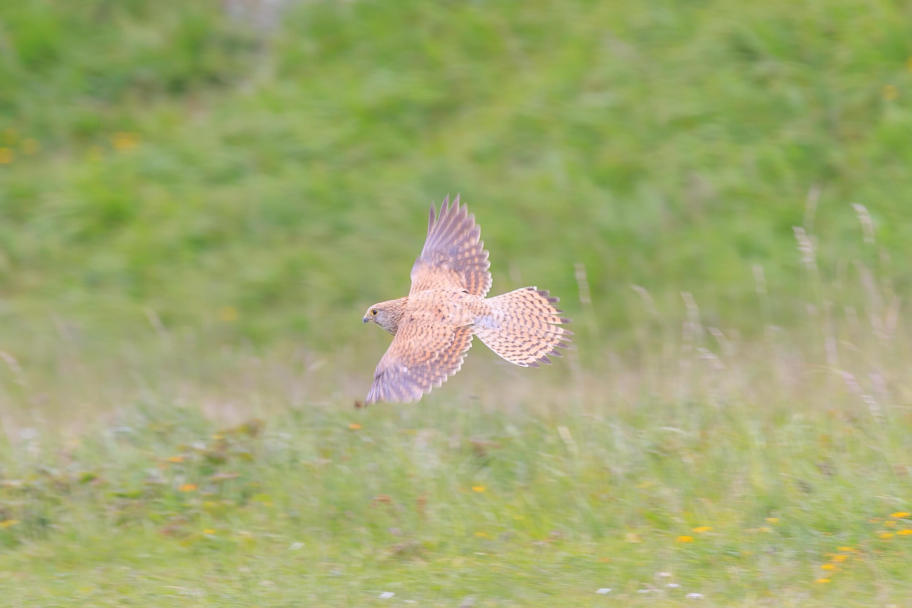
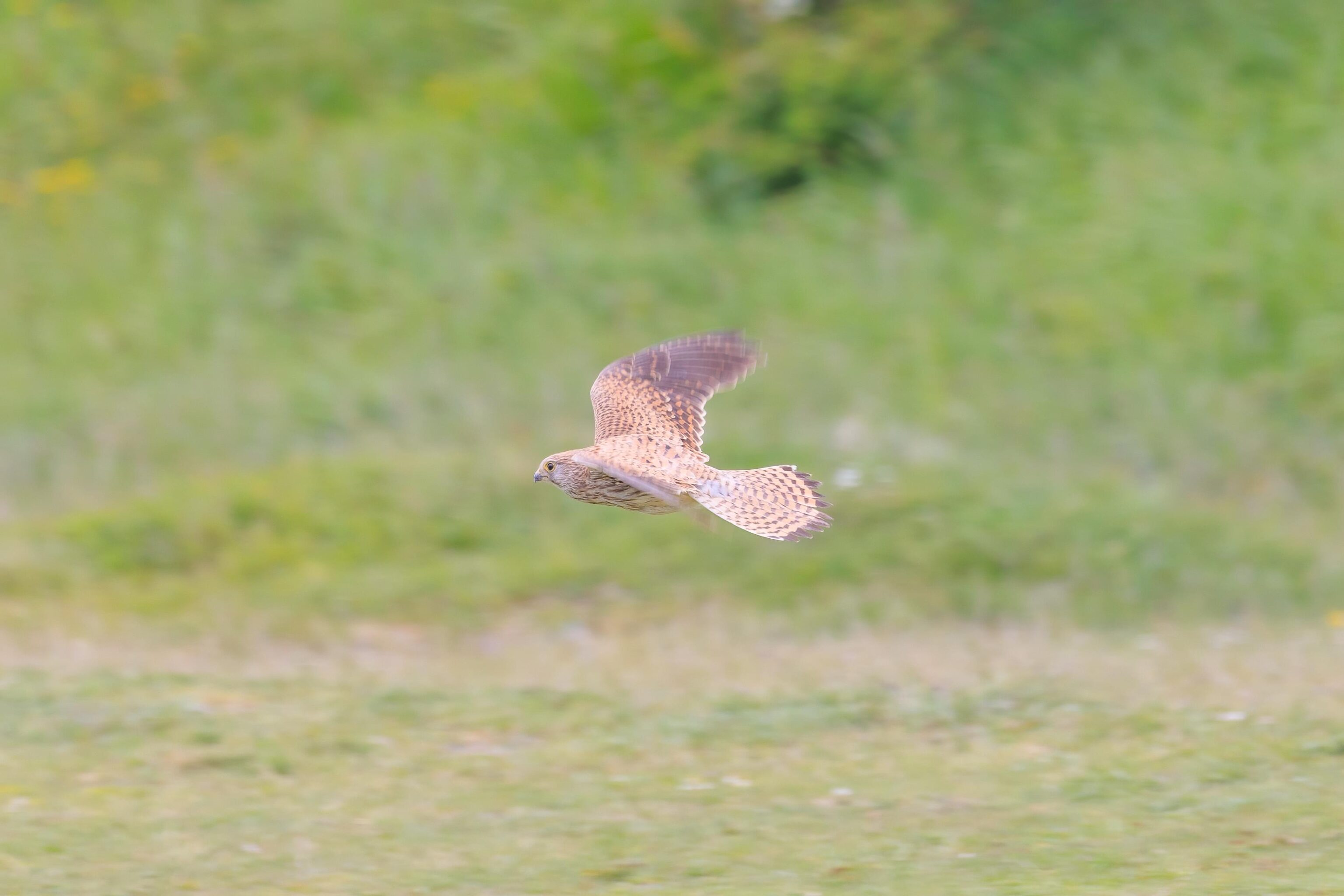
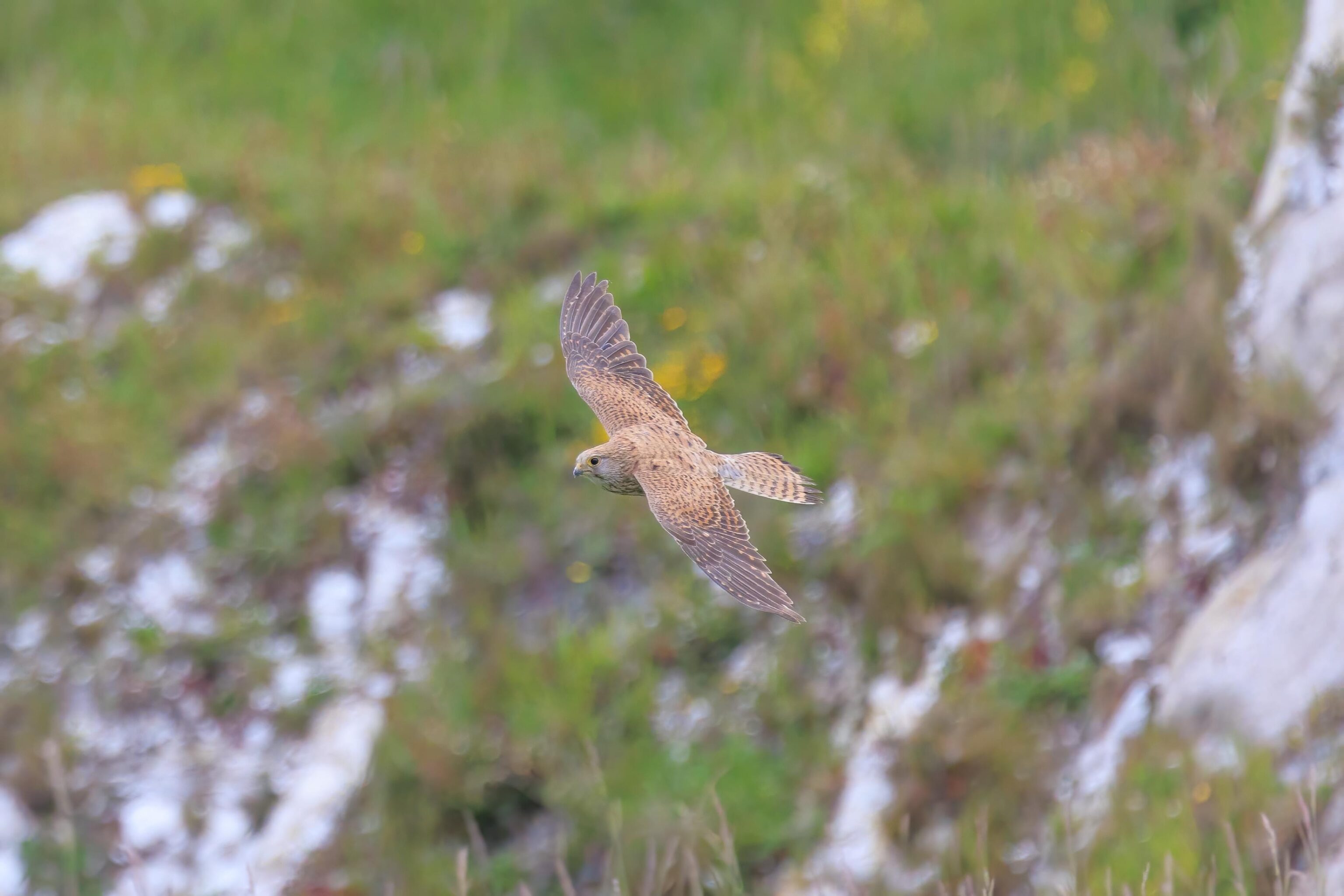
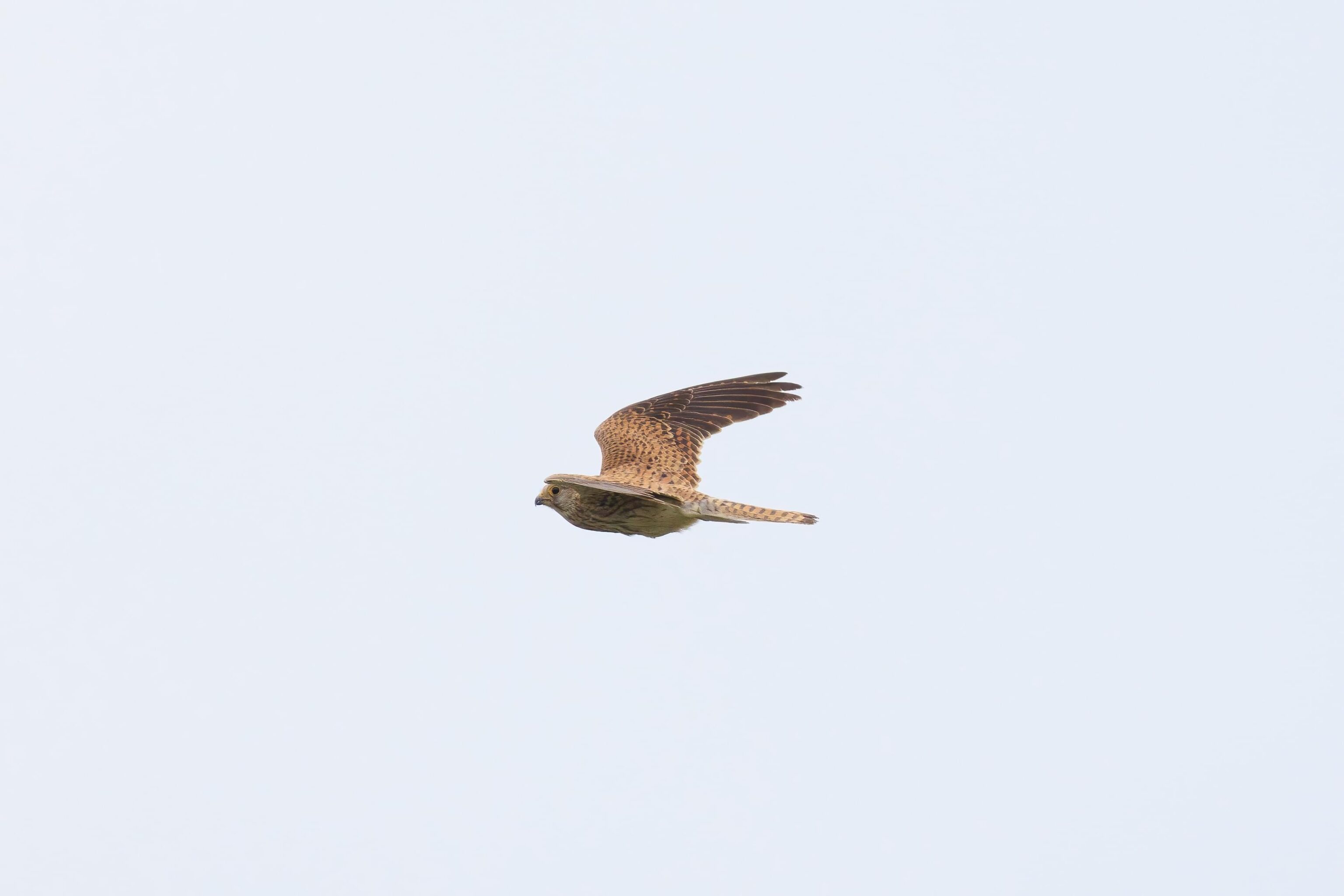
At times throughout the day, we caught glimpses of what seemed like hawks. We weren’t able to photograph them as we tended to have the wide angle lens on the camera. While above the cliffs, we saw one of them try to strike a blackbird. It failed but we were able to photograph it when it came around again.
It seems to be a Common Buzzard. While buzzards are vultures in the US, they are hawks in the UK. This is a hawk in the buteo family, the same as our Red-Shouldered and Red-Tailed Hawks back home.
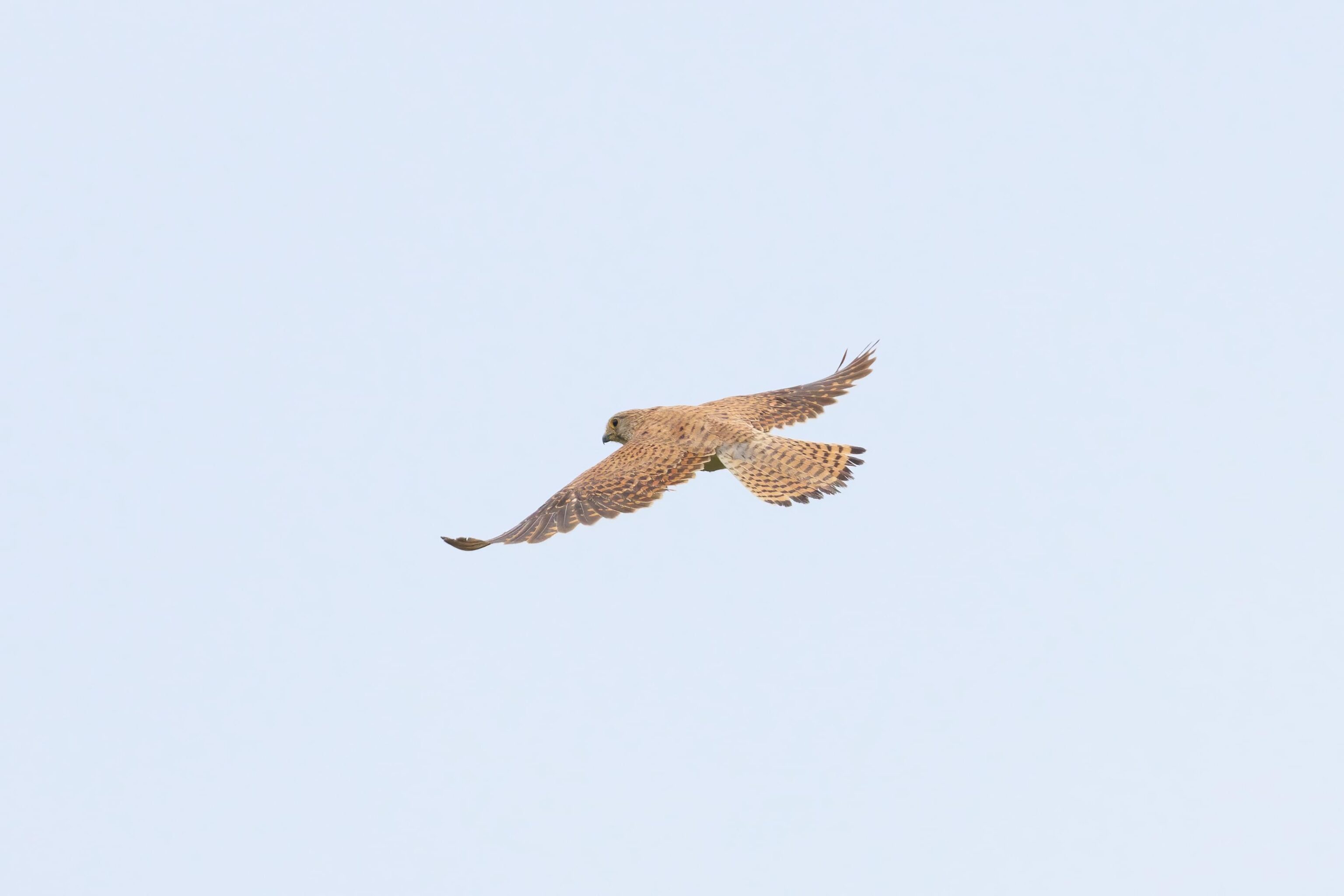
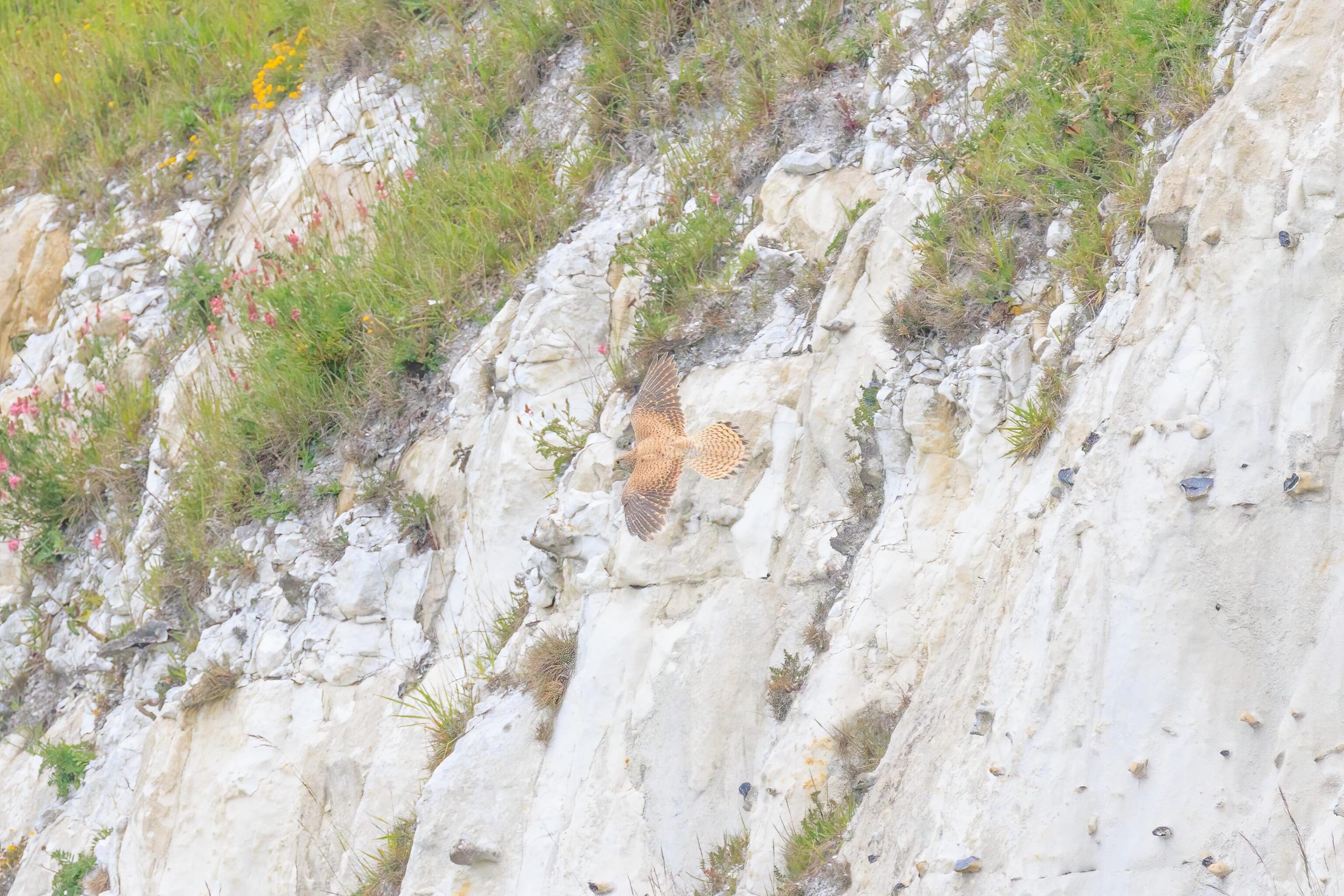
We observed for awhile as the bird circled at low altitude and then would go out of sight below the cliff’s edge.
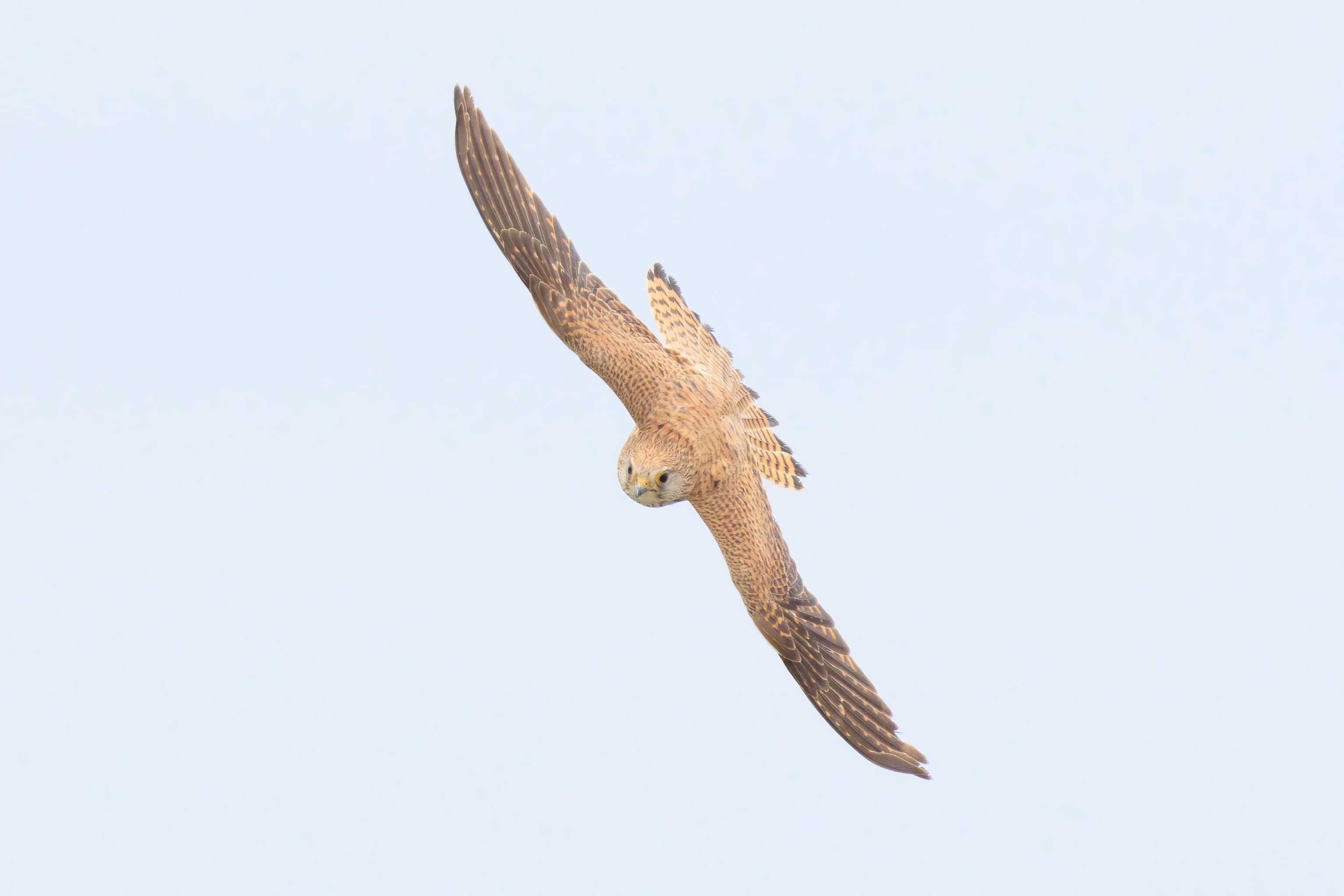
One final photograph as the bird turned towards us.
We soon started on our way back to the car. This was the steep hill that we descended earlier.
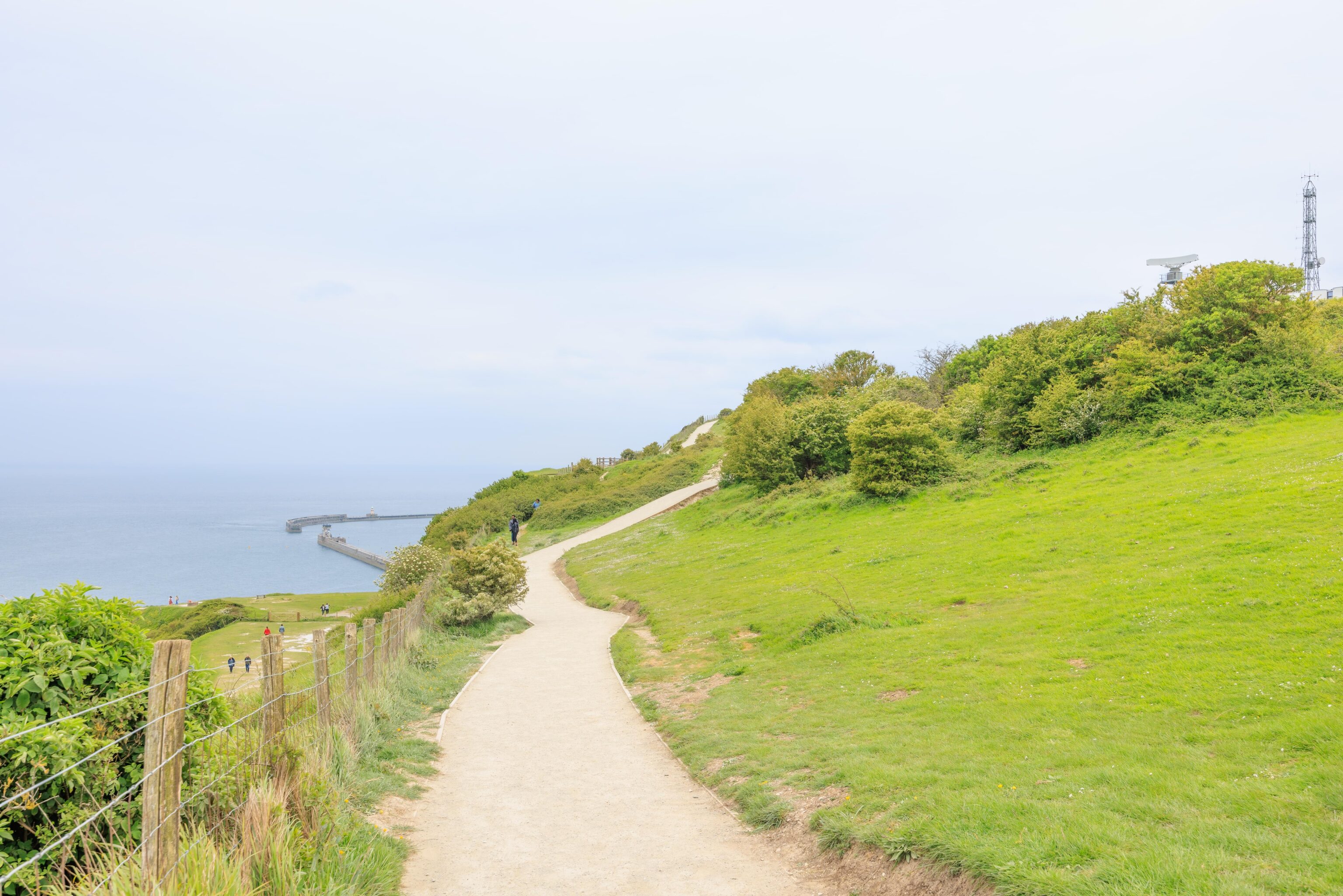
Much flatter here! An entrance to the harbor can be seen on the left. There was a radar station further up on the hill to our right. It is marked as an HM Coastguard station on Google Maps.
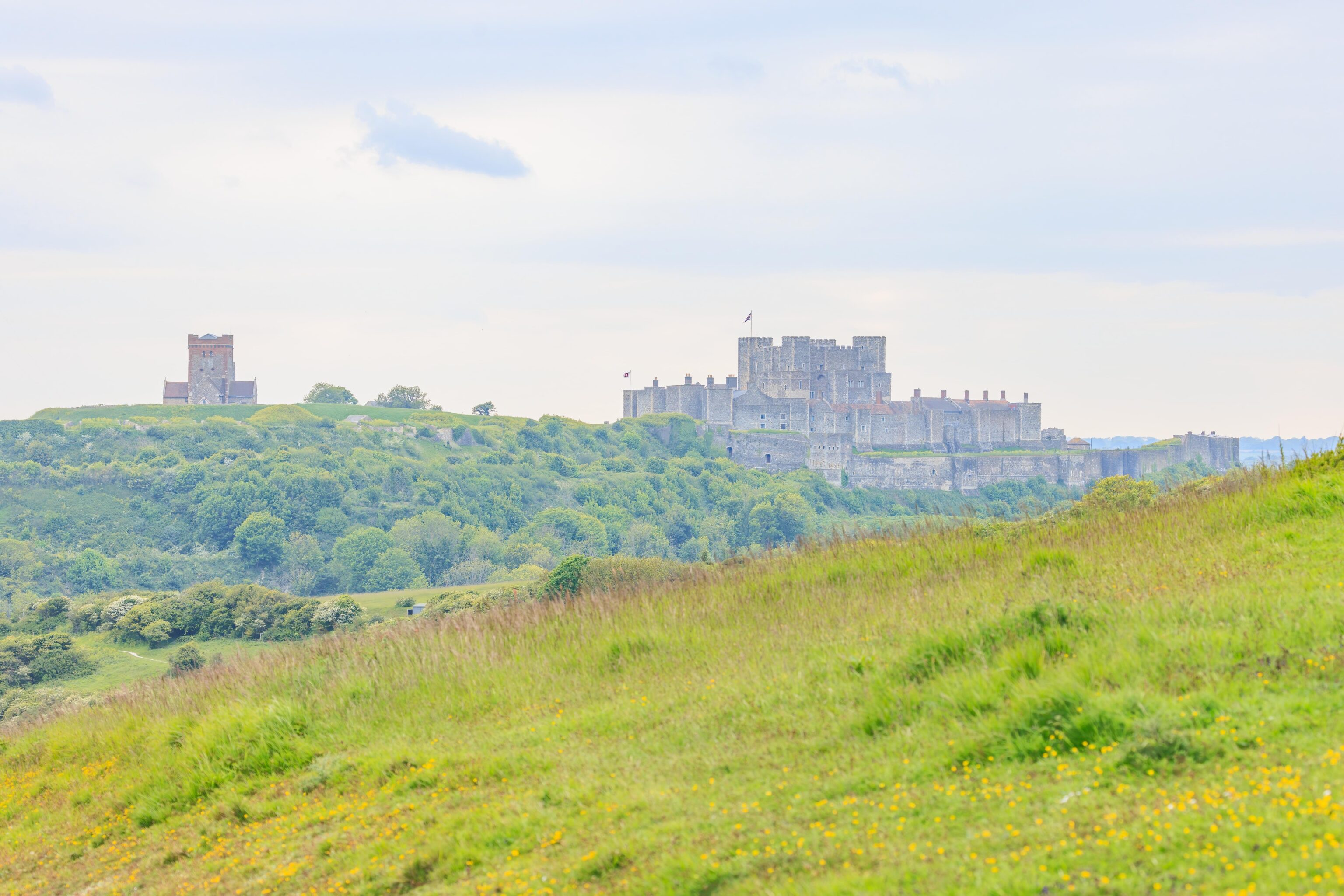
As we continued, Dover Castle came back into view.
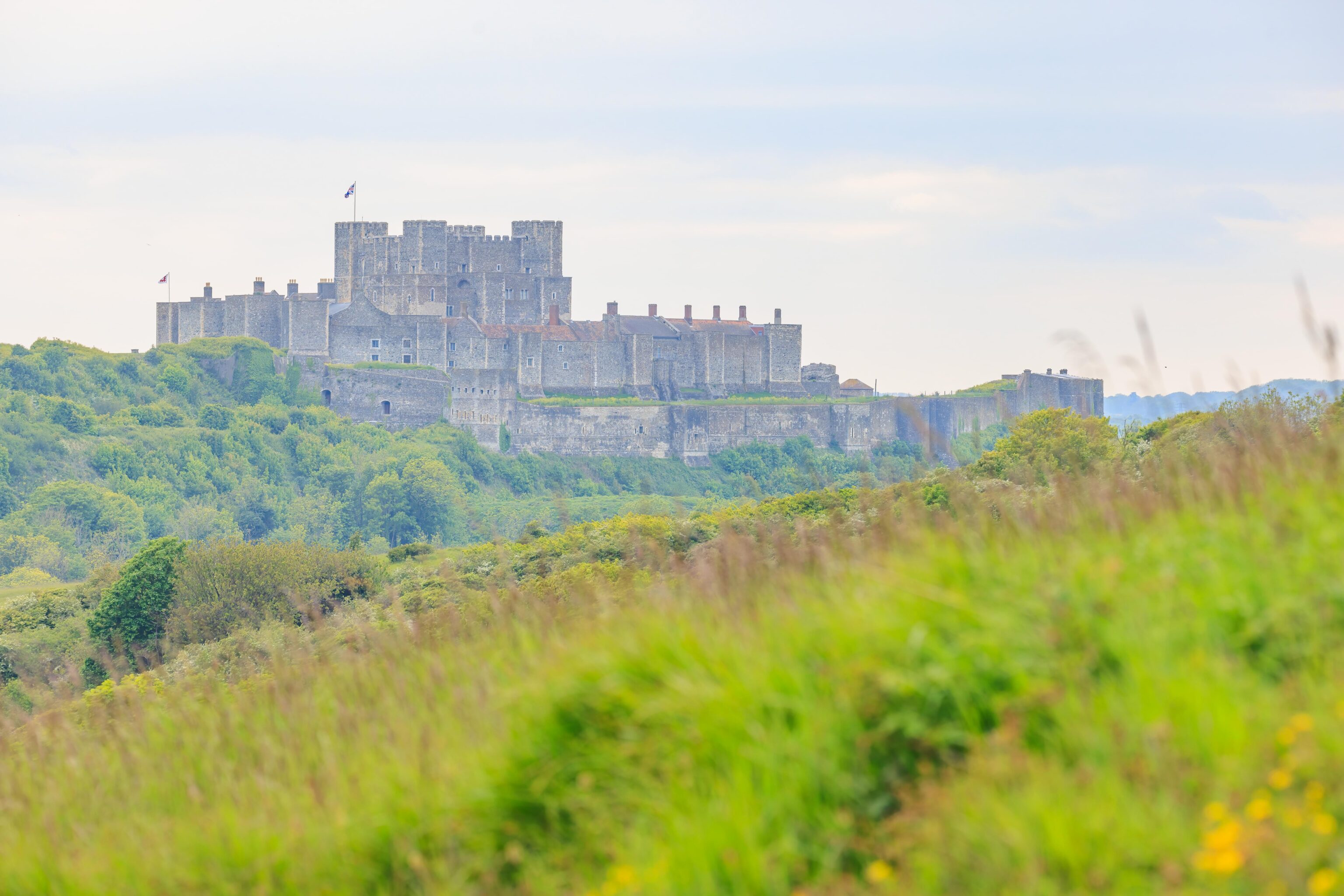
Unfortunately a bit hazy. But we can see the inner and outer wall as well as the keep.
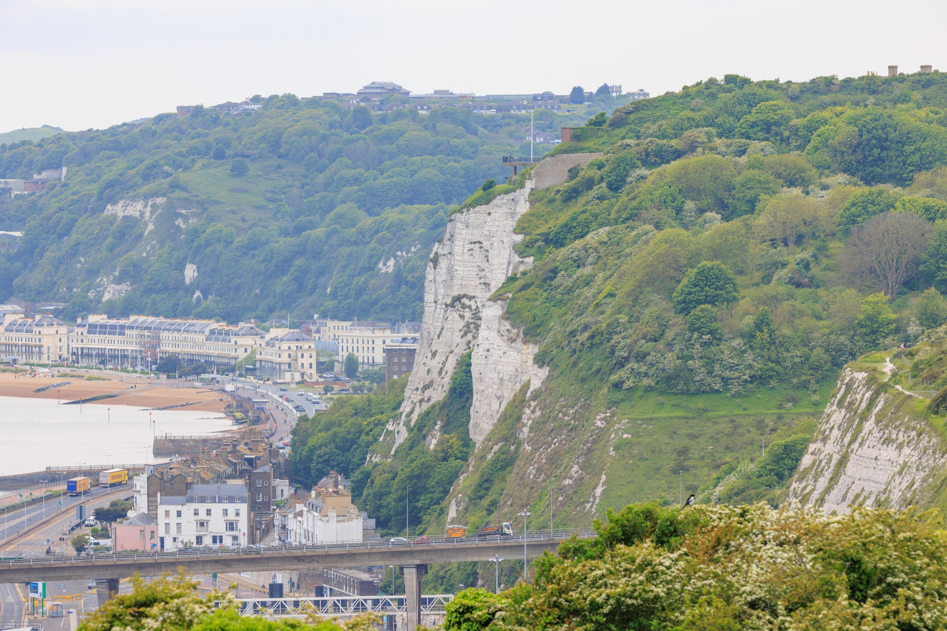
We could see the World War I Fire Control Command Post, where we stood earlier in the day, atop the cliffs to the west.
One Reply to “Dover [Kent, England, UK]”