

We toured more places in Wiltshire today! We started at Woodhenge, a henge right next to Stonehenge. It was on the way to our next destination, Old Wardour Castle. Old Wardour was home to the Anne Arundell, wife of Lord Baltimore who founded the Maryland colony. Anne Arundel County in Maryland is named after her. Afterwards, we headed up north to Avebury, a World Heritage Site containing a large henge. We then went further north to visit the White Horse Hill, an interesting outline of a horse cut into the chalk soil at least 2000 years ago. We ended the day at Great Coxwell Barn, a 13th century barn that has a cathedral-like elements. This barn is in an episode of Downton Abbey, though we haven’t gotten to the particular episode yet.
Woodhenge
Our first primary destination of the day was to visit Old Wardour Castle. But, Woodhenge was on the way so we decided to visit it first. Also, the castle doesn’t open until 10am so there was no reason to arrive early.
Woodhenge is right next to its famous neighbor, Stonehenge. It is within walking distance, though we didn’t have that kind of time when we visited Stonehenge yesterday. Woodhenge isn’t particularly well known or well visited. There is a small parking area next to it with room for a few cars, though parking on the road is possibly acceptable given how few cars drive by.
A henge appears to be defined as a raised circle of earth with a ditch along the edges of the circle. This seems to suggest that from the outside, there is a ridge, with a ditch immediately behind it, and then a flat center level with the ridgetop.
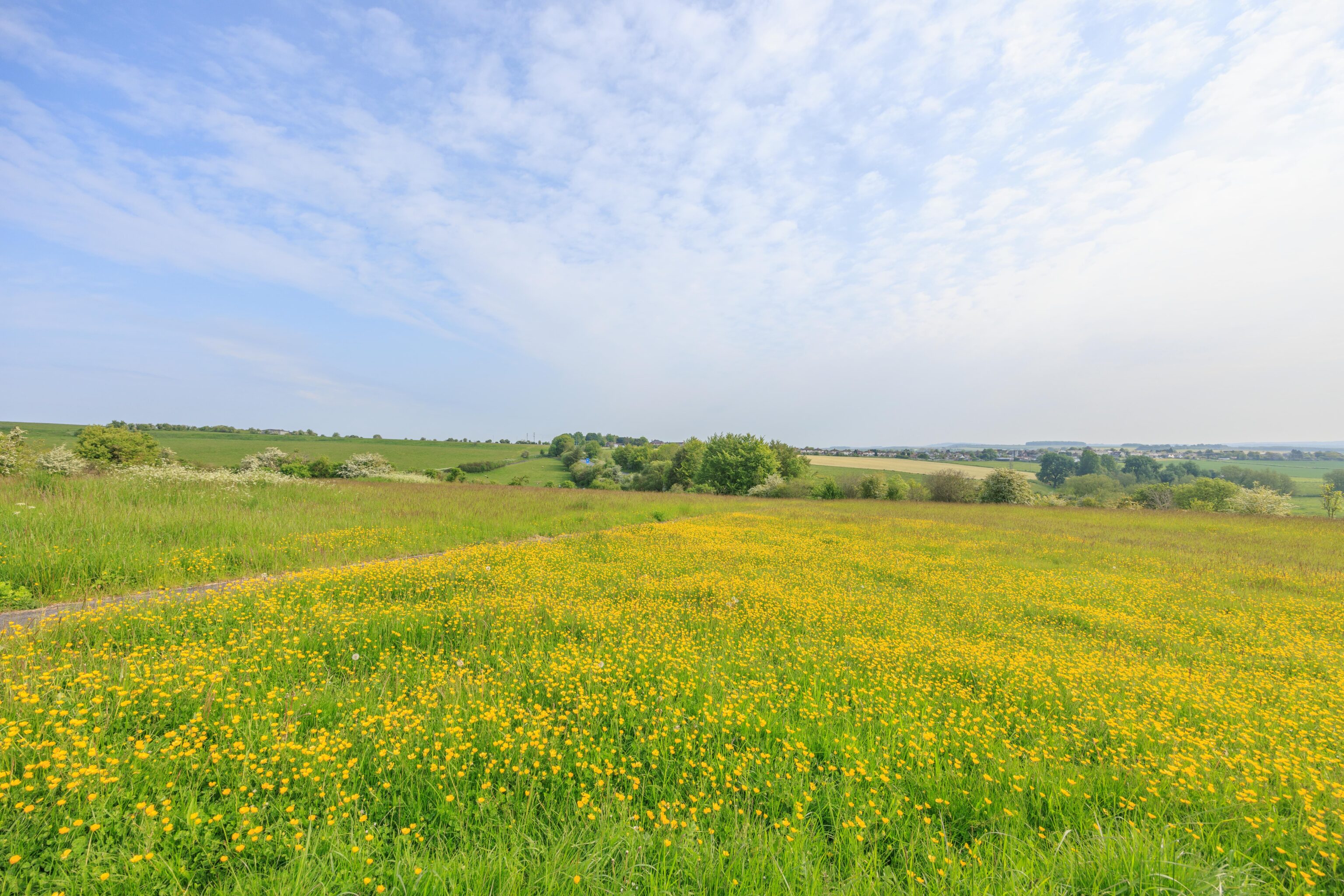
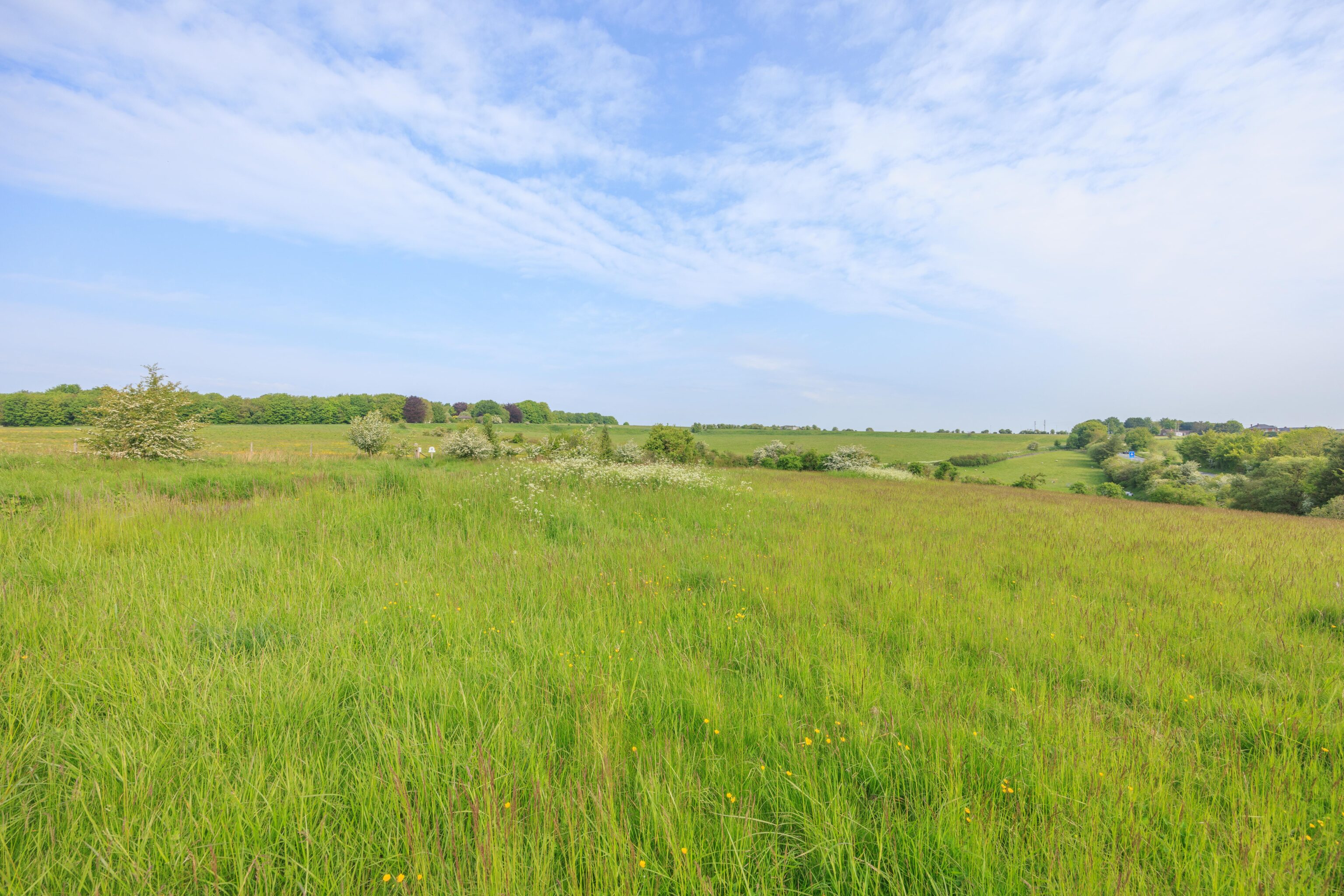
The small car park by Woodhenge is adjacent to an open field. There was an informational sign at the edge of the field so we visited there first. The sign suggested there were some features nearby but we couldn’t find any of them. At least it offered a pretty view!
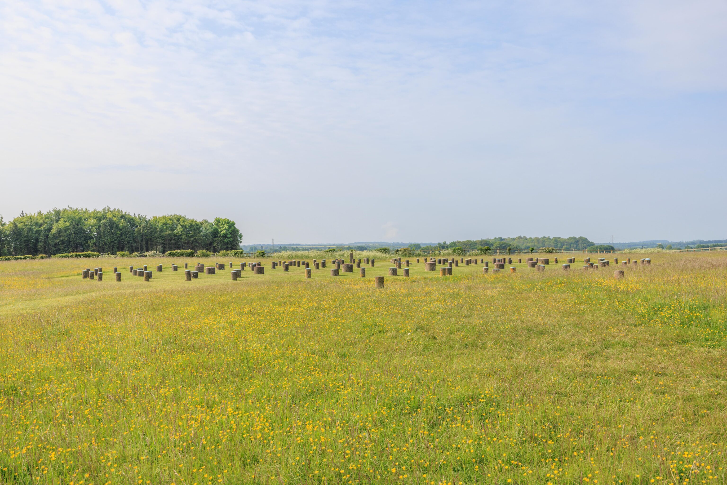
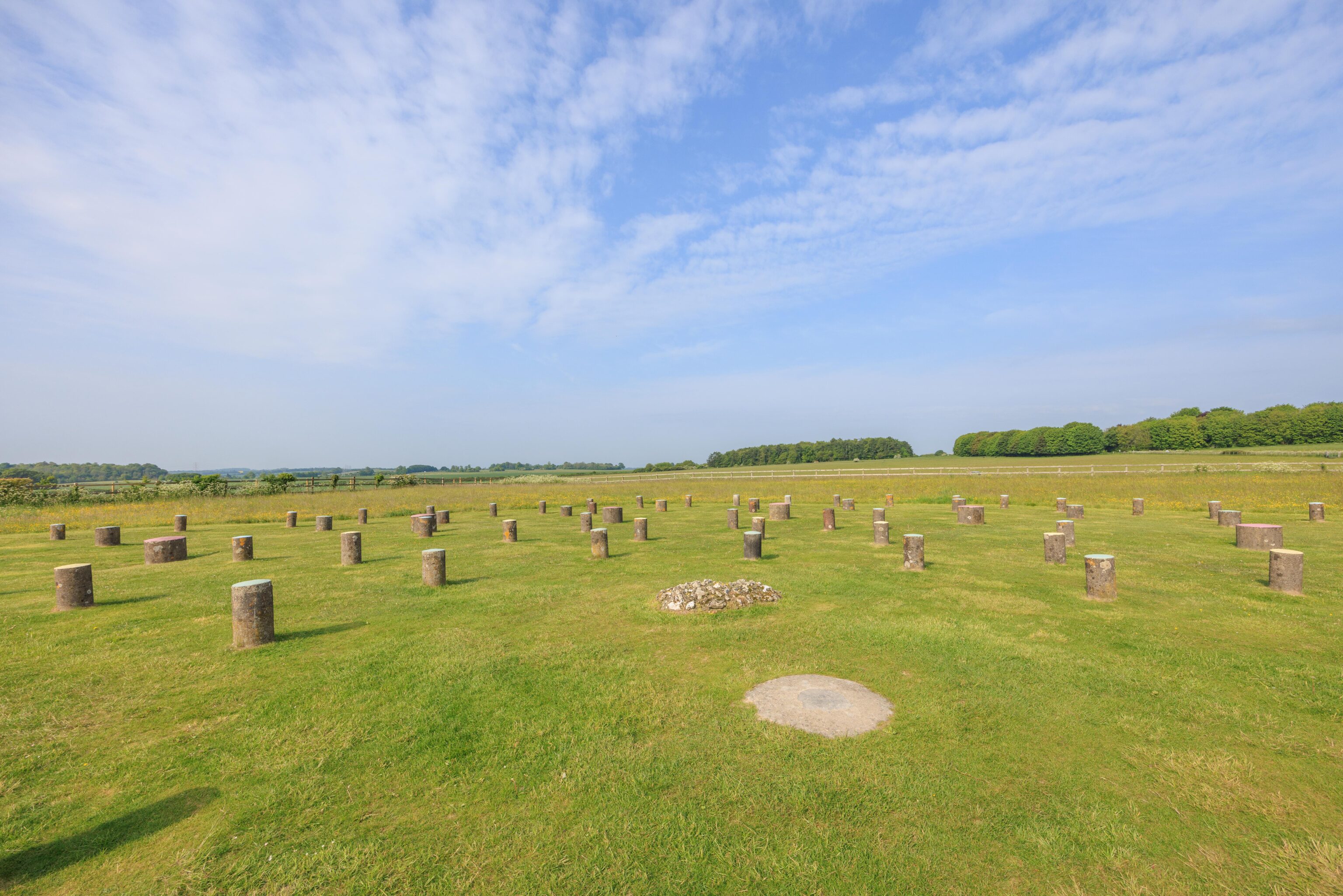
We crossed the small rural road to approach Woodhenge. This henge was discovered from the air in 1925 and is at least 4,500 years old. The posts were originally made of wood. There is an artist’s depiction of what the site may have looked like on an informational display. The posts may have been 9 meters tall. Today, there are short concrete posts where the originals would have stood. It is hard to tell but there are 6 concentric oval rings.
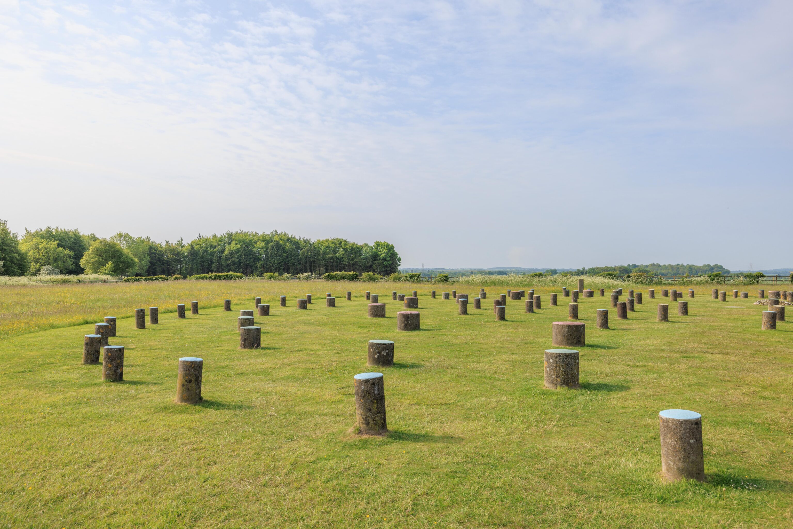
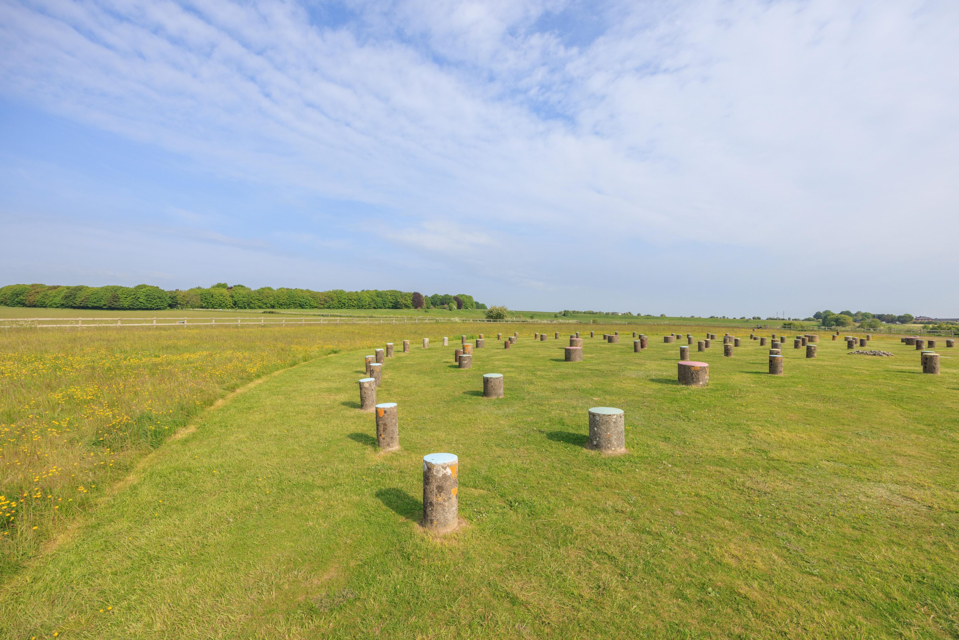
A closer look at the posts. Unlike Stonehenge, visitors are free to walk anywhere they want.
Old Wardour Castle
After our brief visit at Woodhenge, we continued on our way to Old Wardour Castle. Old Wardour Castle was built in the 13th century by the 5th Baron Lovell. It was bought by the Arundell family. Eventually, one of the Arundells became a baron and thus the castle become home to the Baron of Wardour. One of the baron’s daughters was Anne Arundell. She went on to become the wife of Lord Baltimore, the 2nd Baron of Baltimore. She became Anne Calvert, Baroness of Baltimore. Lord Baltimore founded the colony of Maryland.
These names are all well known in the modern day state of Maryland. Anne Arundel County is home to the capital, Annapolis, and BWI Airport. Annapolis is named after Queen Anne though. The city of Baltimore is of course named after the founder of the colony. And Maryland has a Calvert County.
The castle was in the Robin Hood movie from 1991.
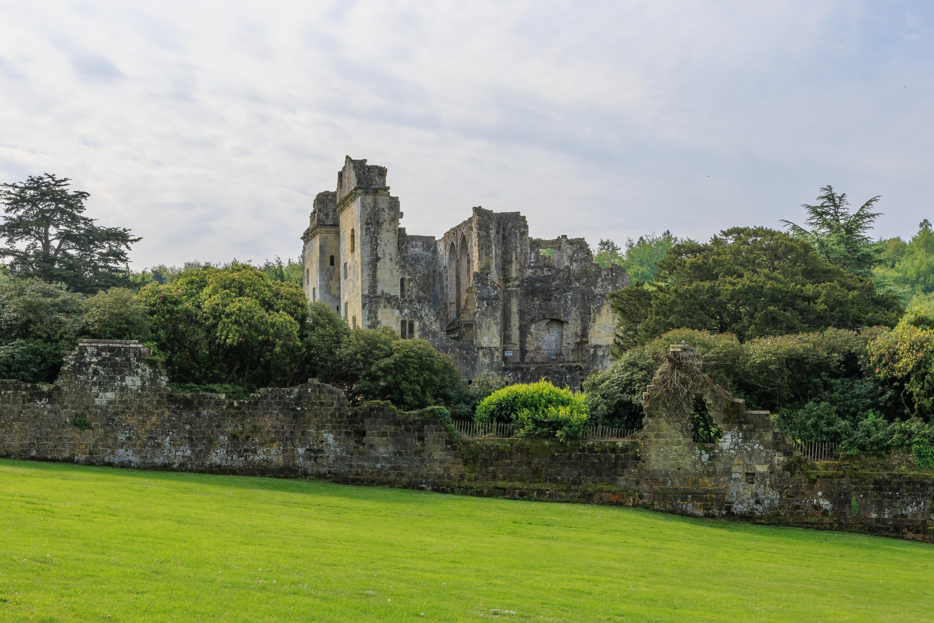
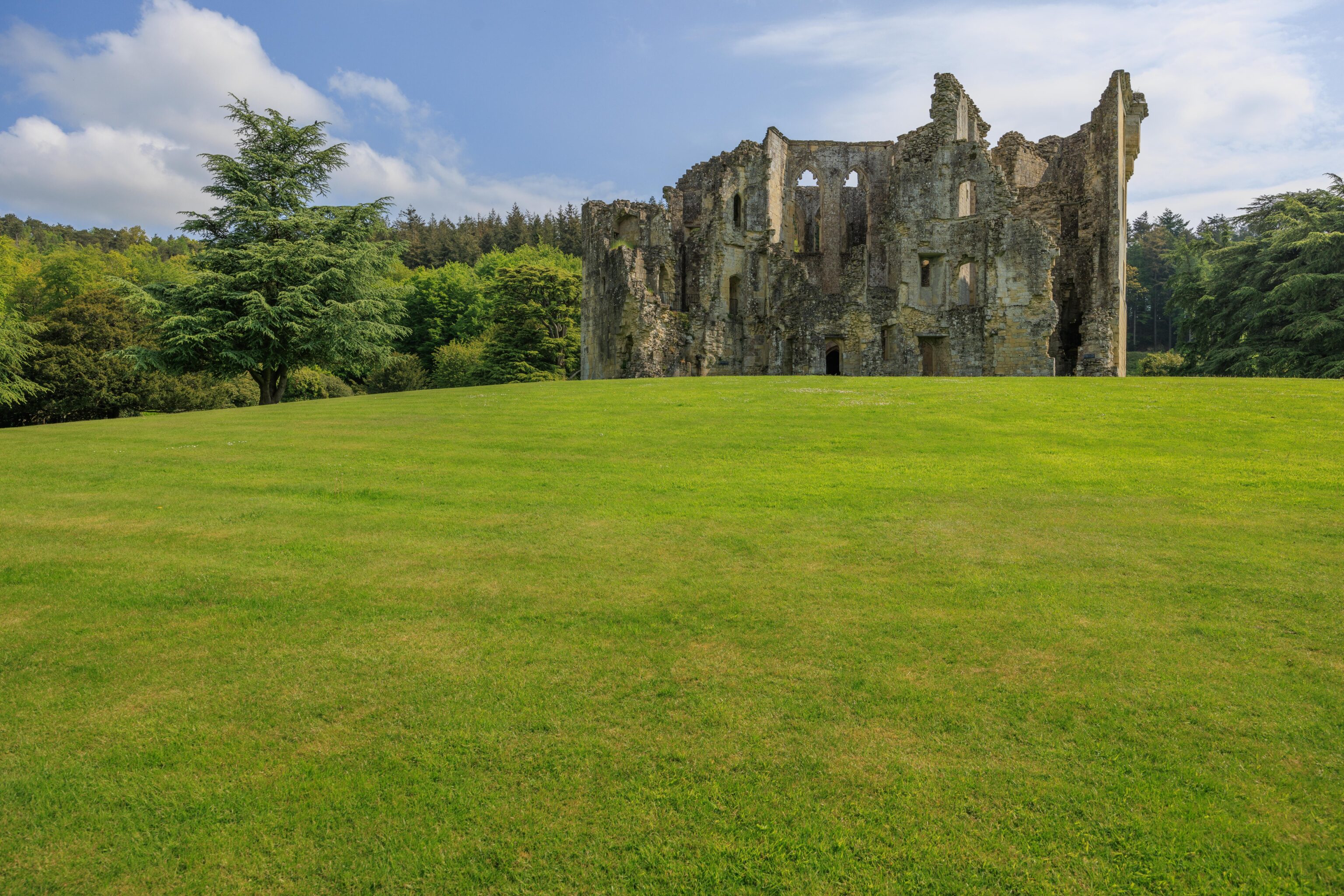
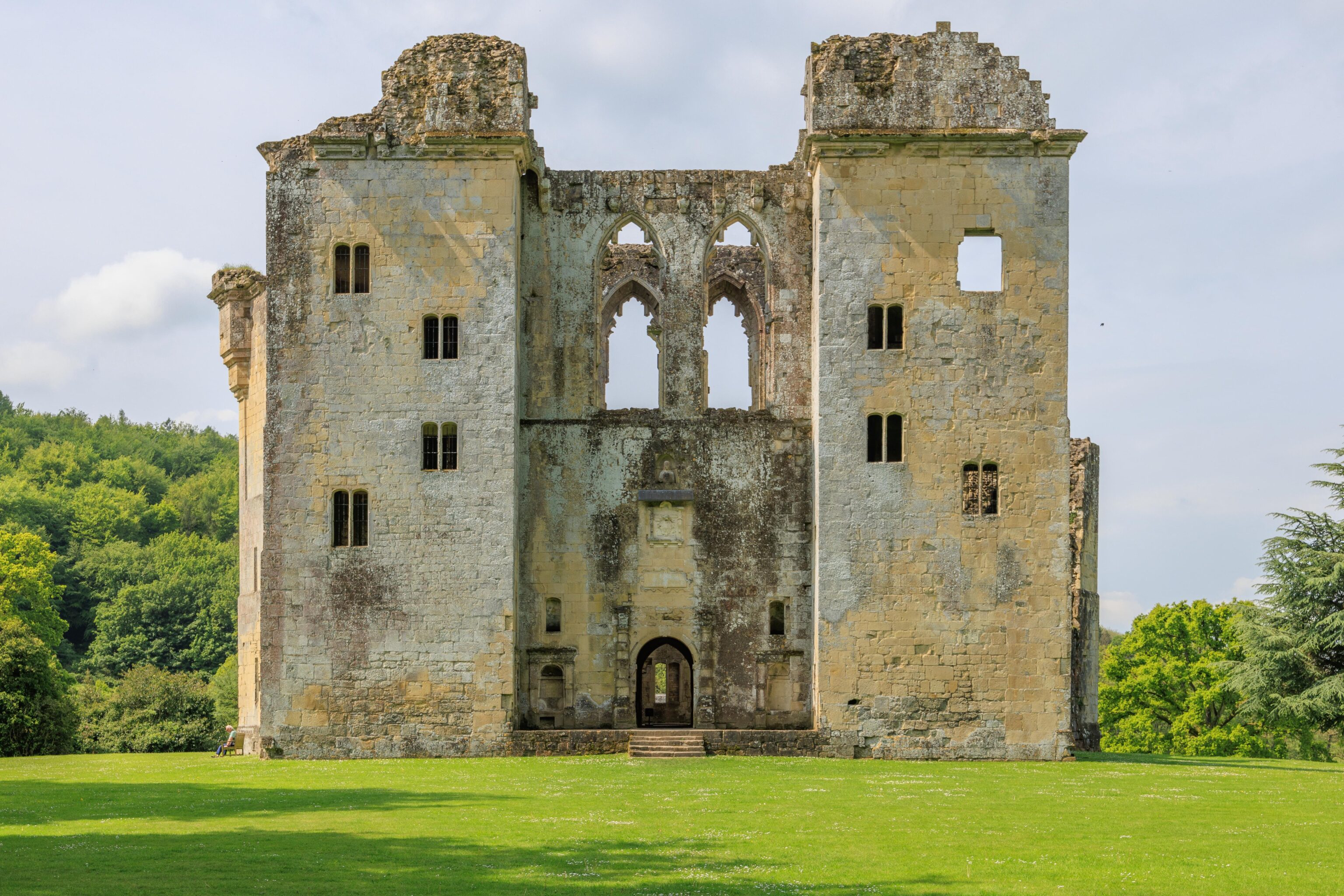
The first view of the castle is from the car park. It is in a ruined state, though some of the remaining upper floors are accessible.
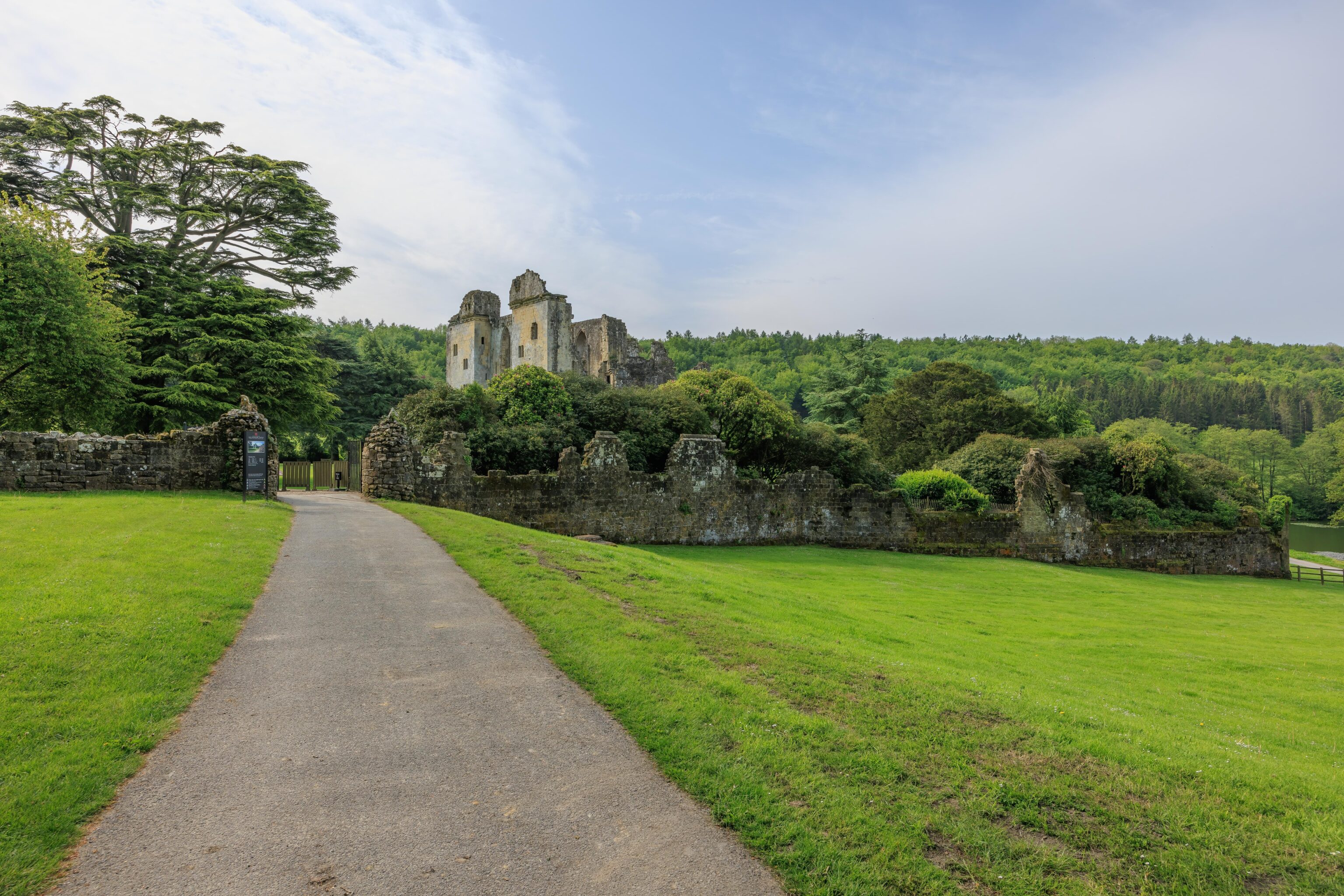
There is a paved path leading up a small hill to the entrance of the modern day historical site.
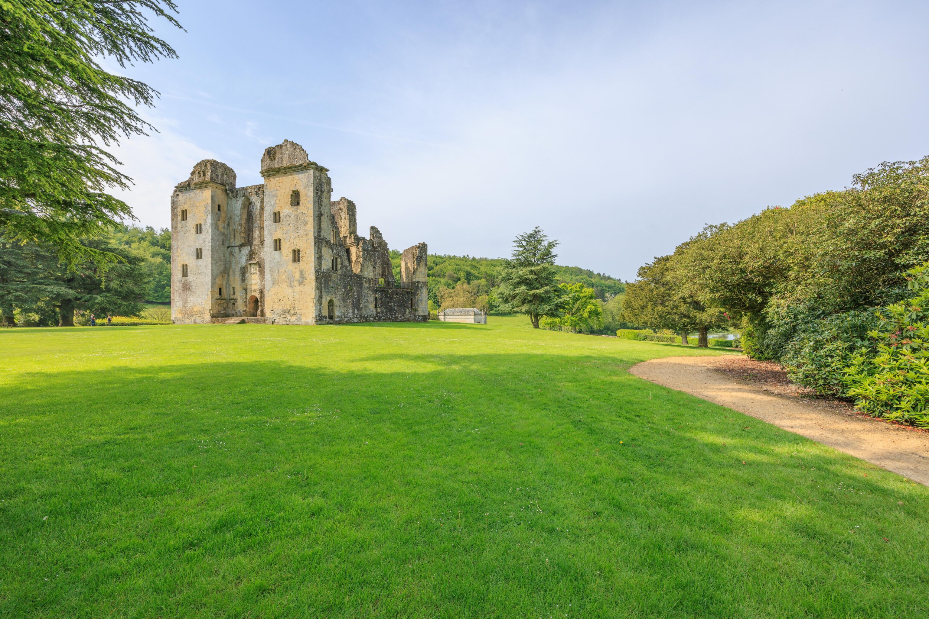
After entering the small visitor center and shop, we walked towards the castle ruins.
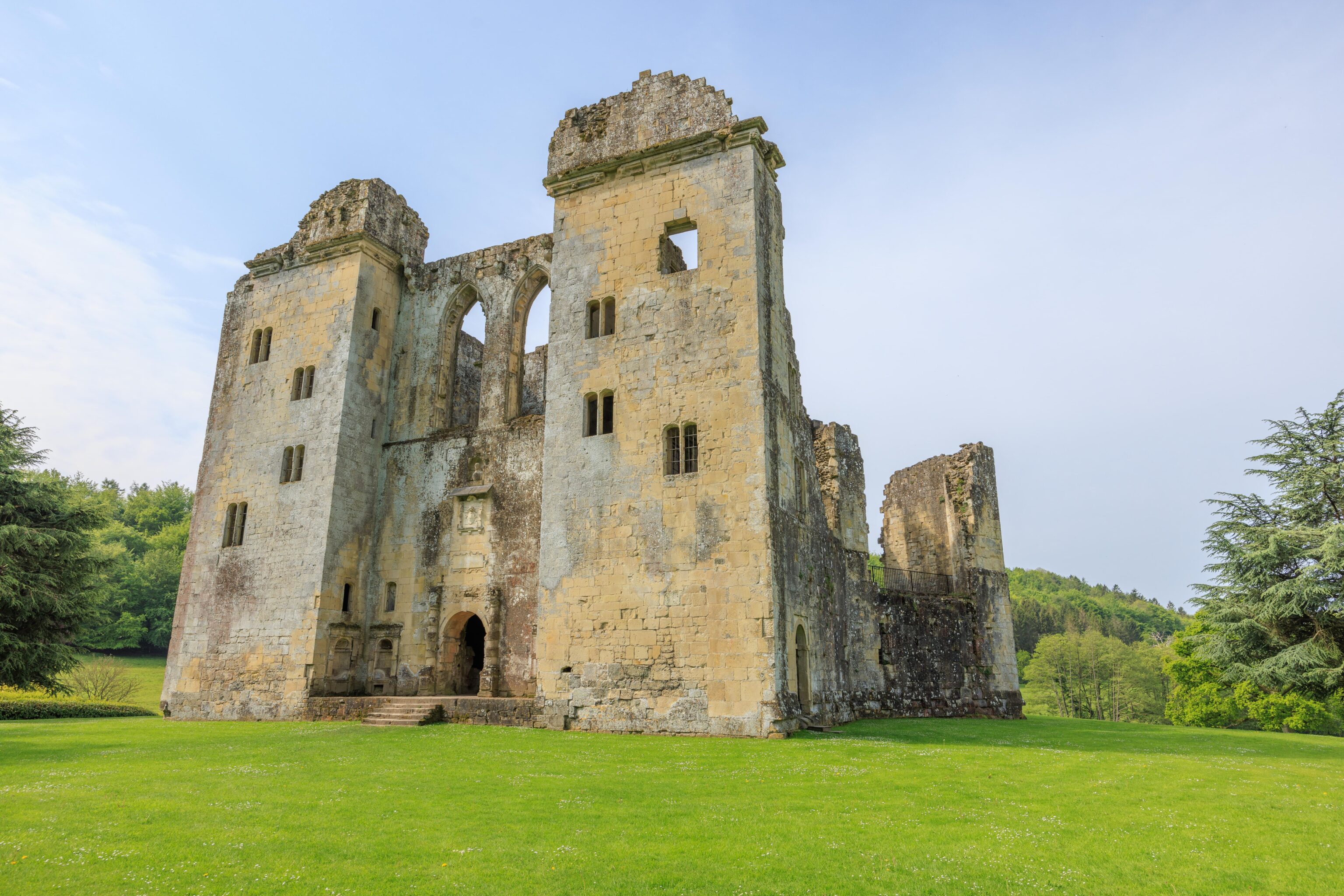
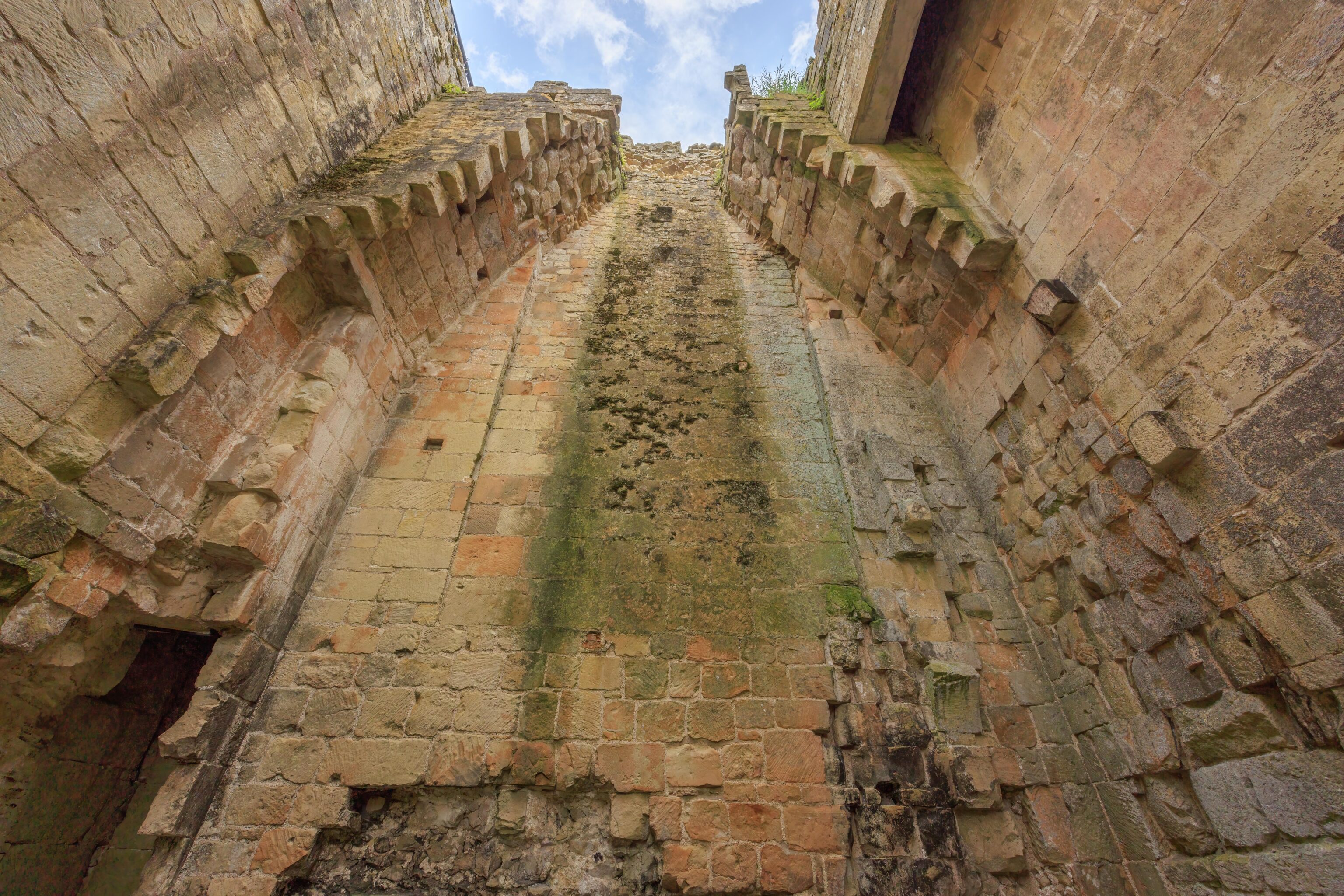
The castle is a rather tall structure.
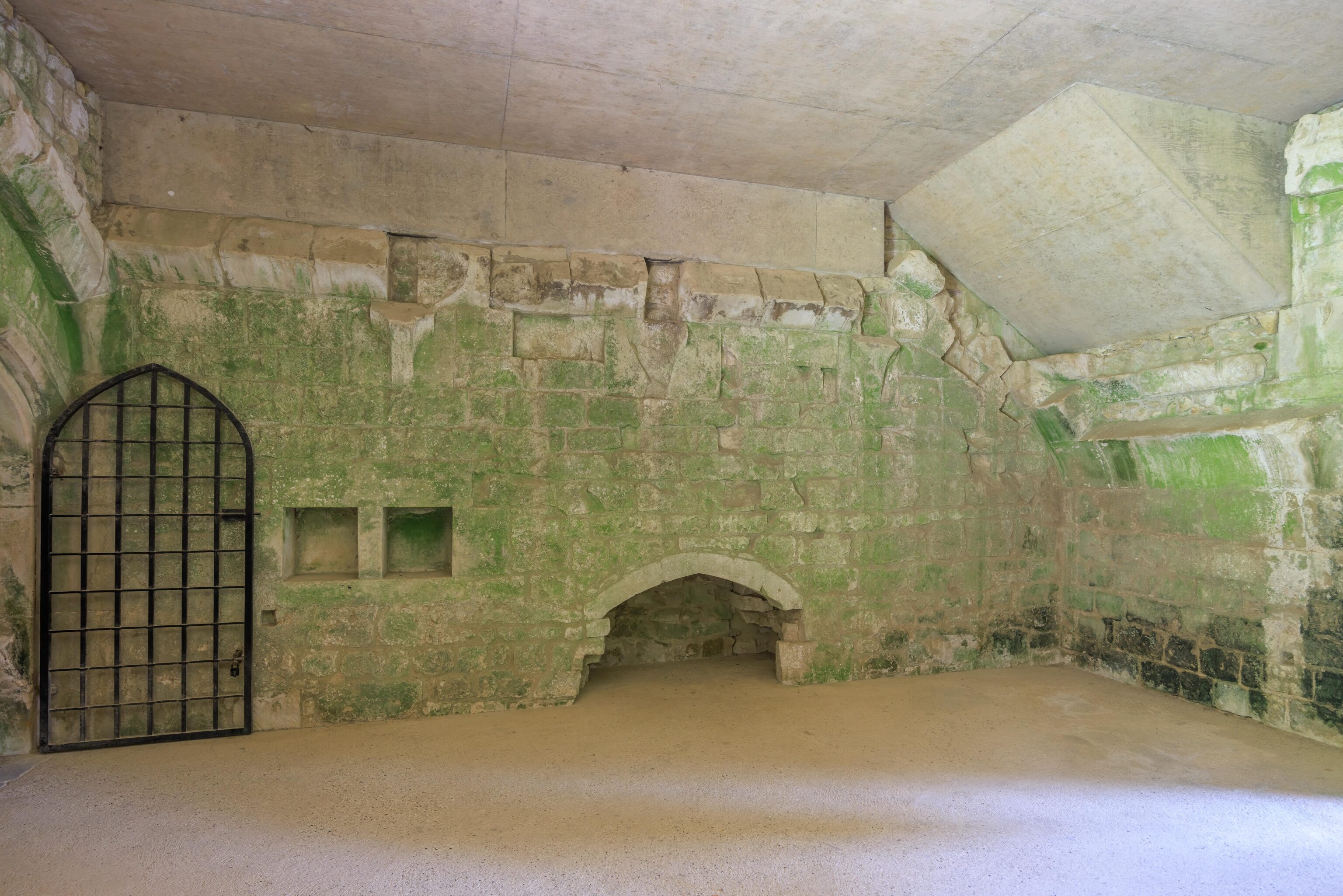
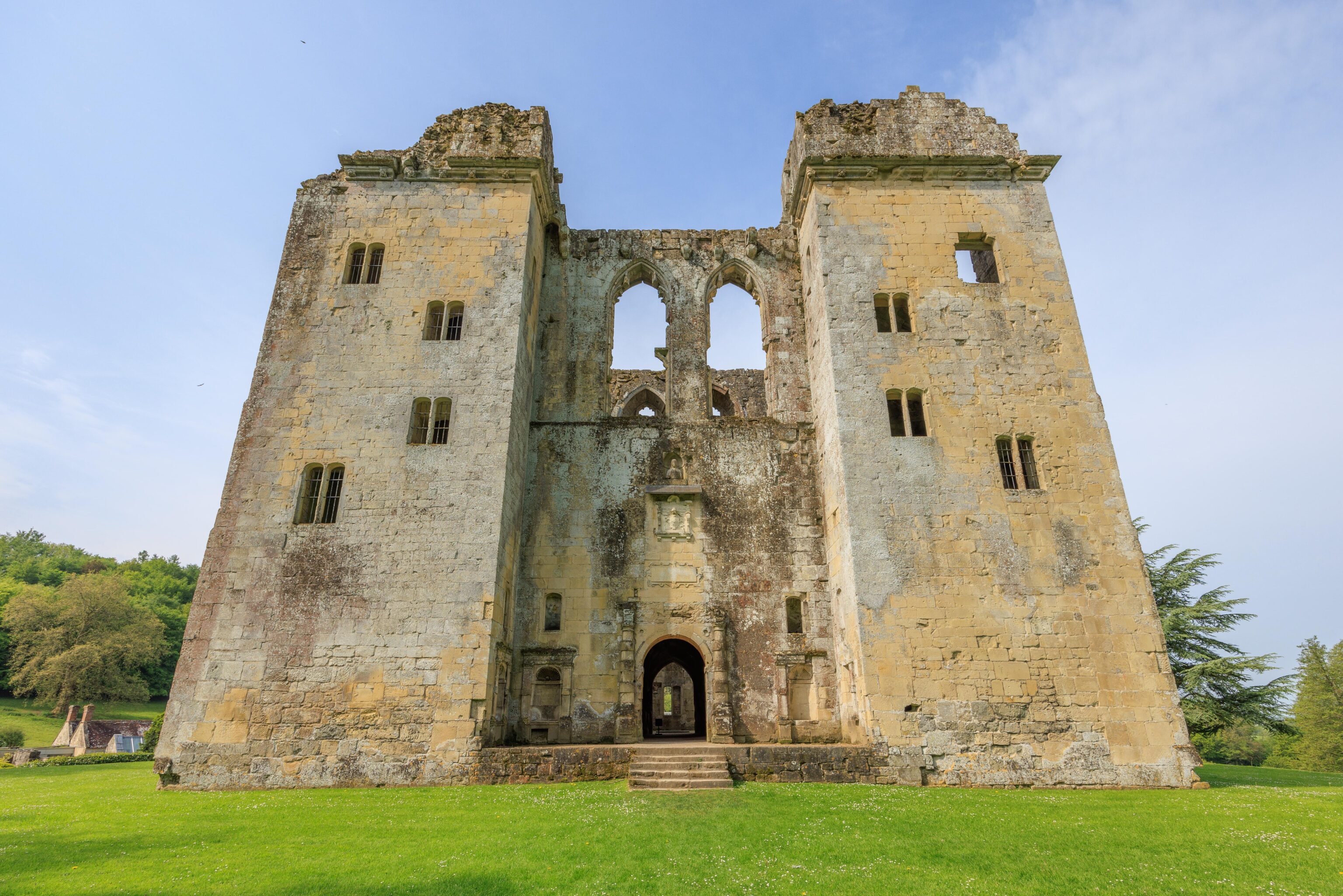
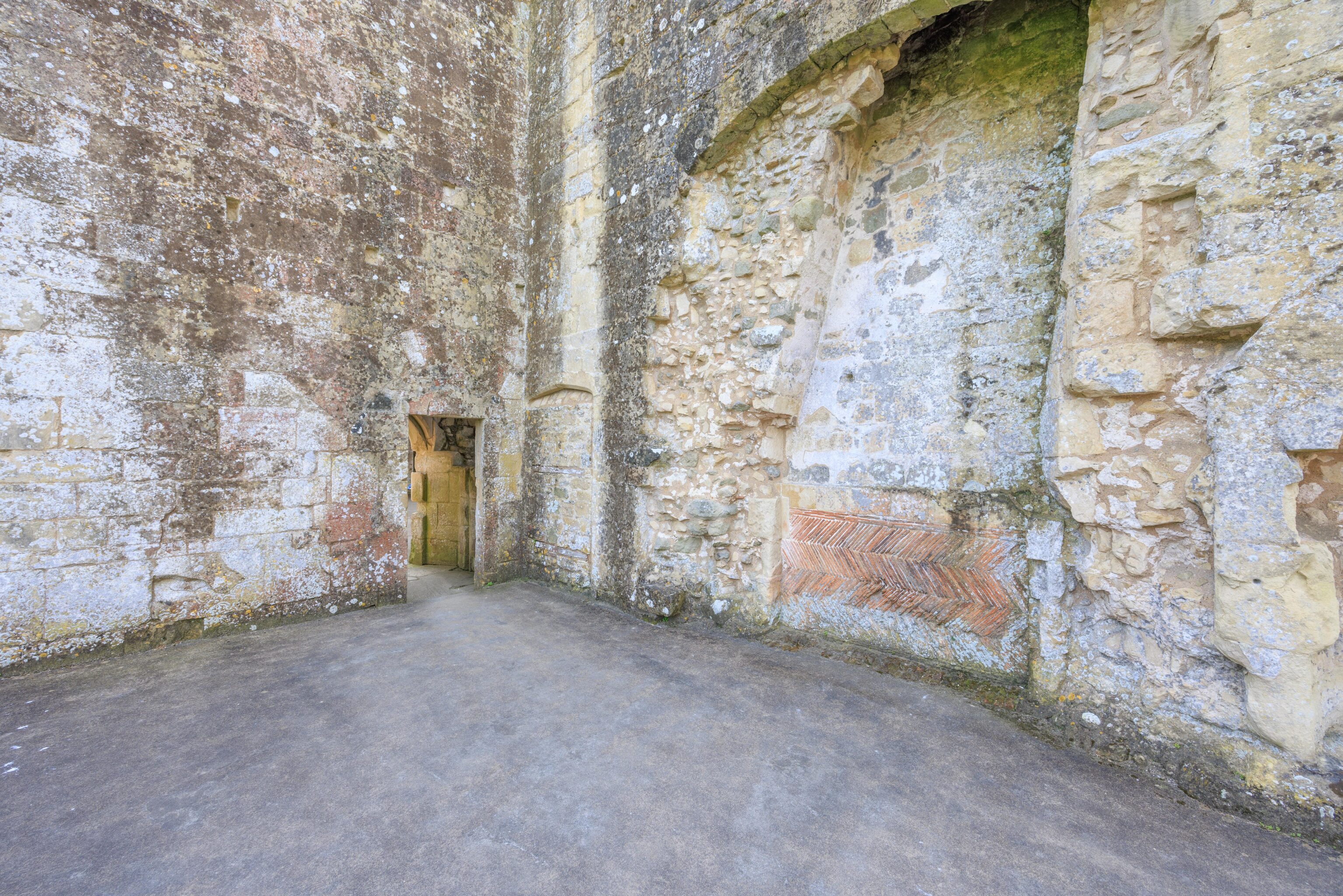
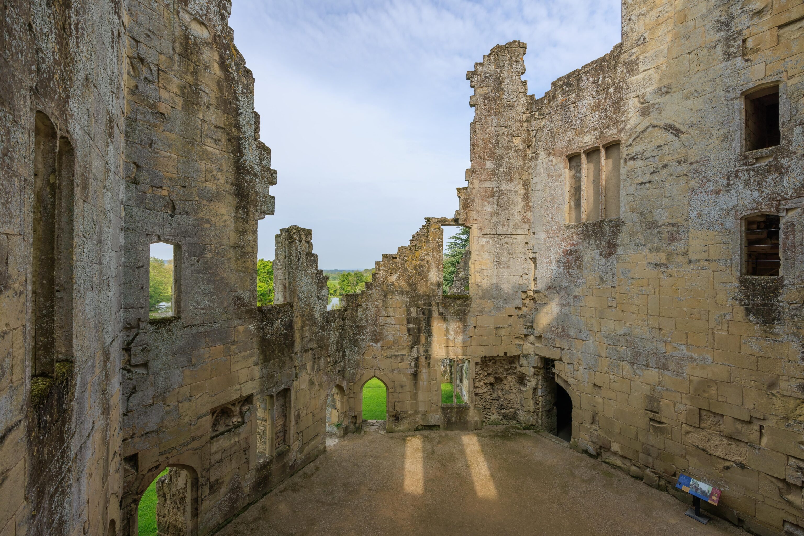
We entered the castle through the front door. The interior is barren of any decorations. Many of the walls have a green tint. There are modern day elements in the structure, particularly the floors. This room is to the left of the entrance.
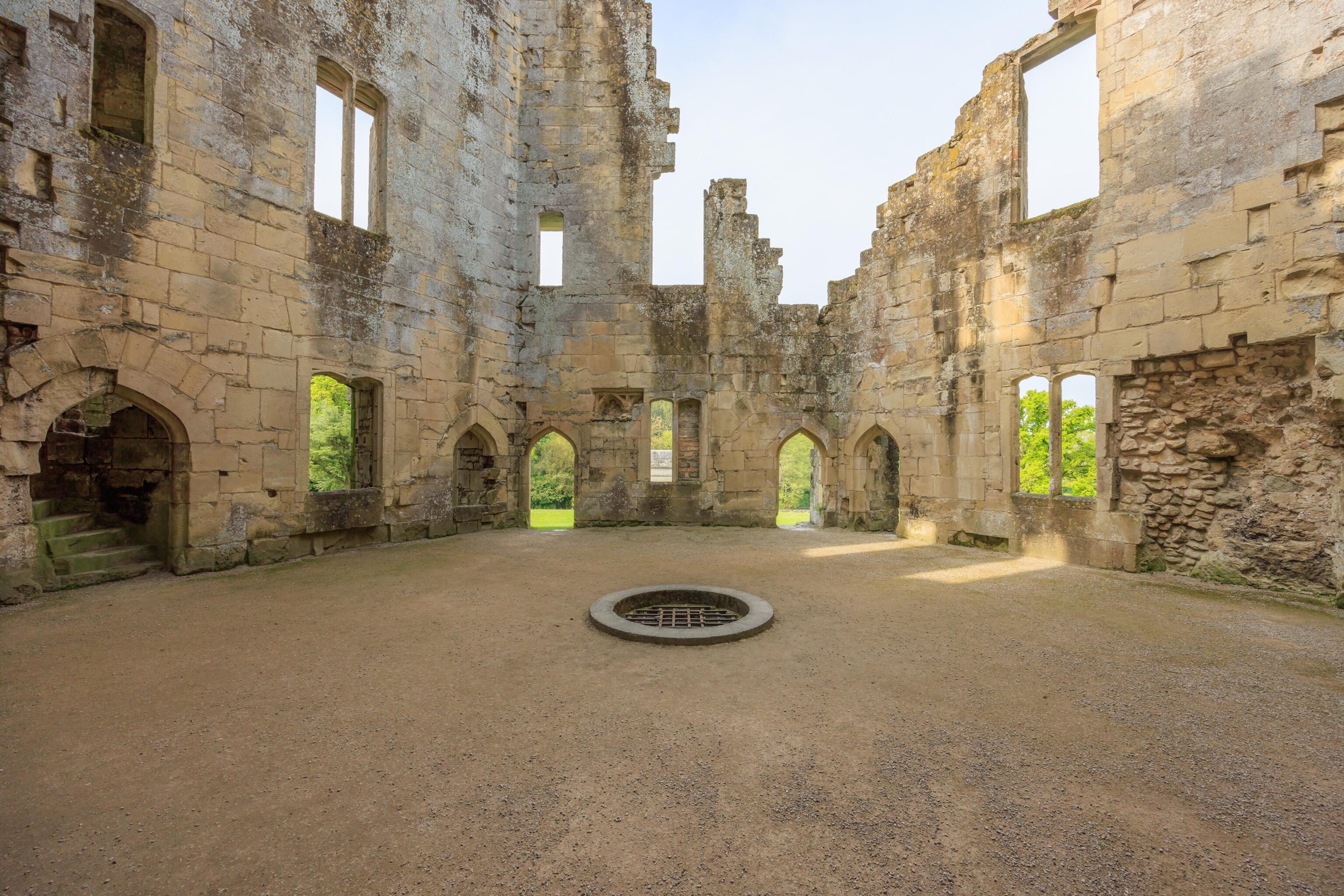
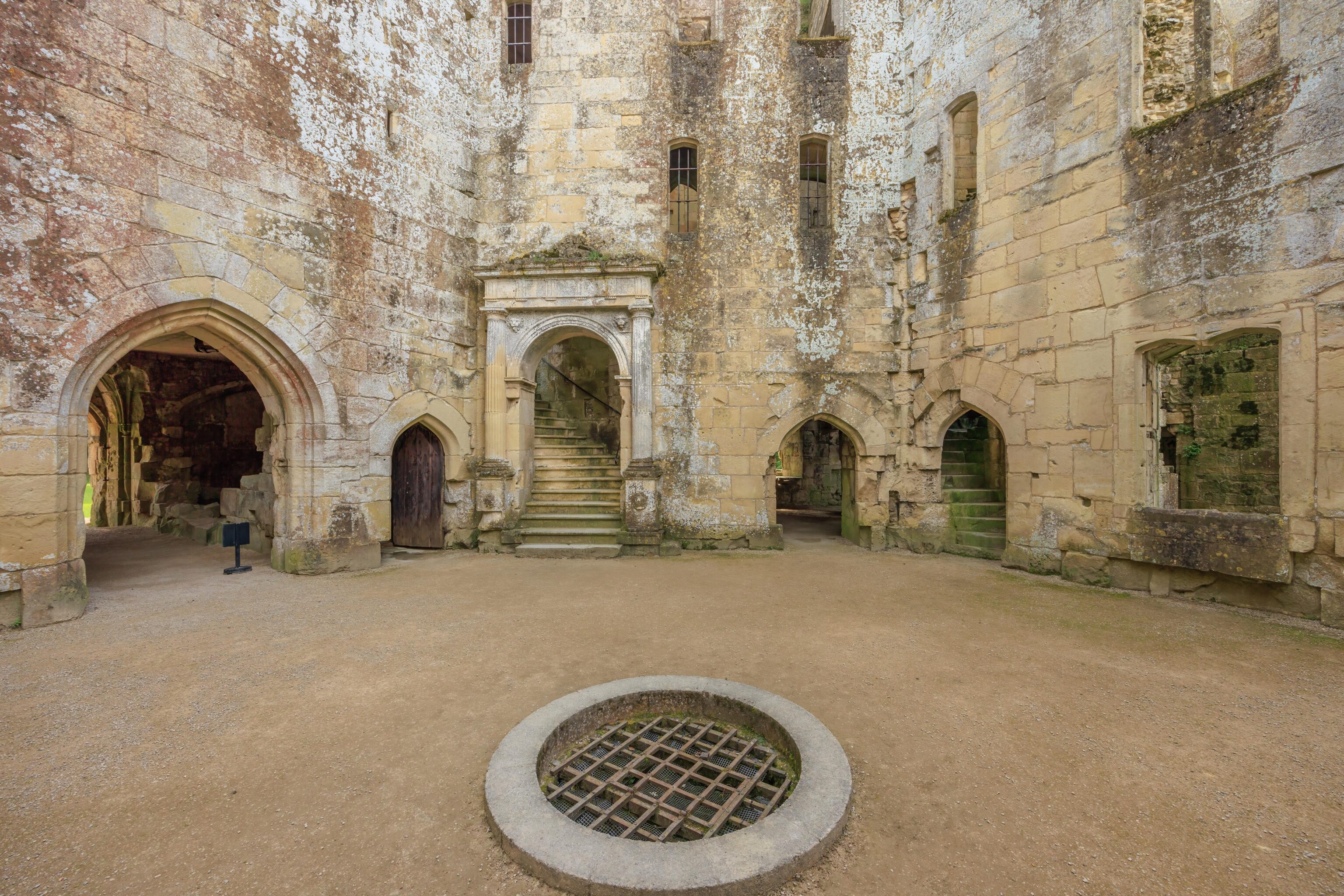
There is a small courtyard with a well in the middle of the castle.
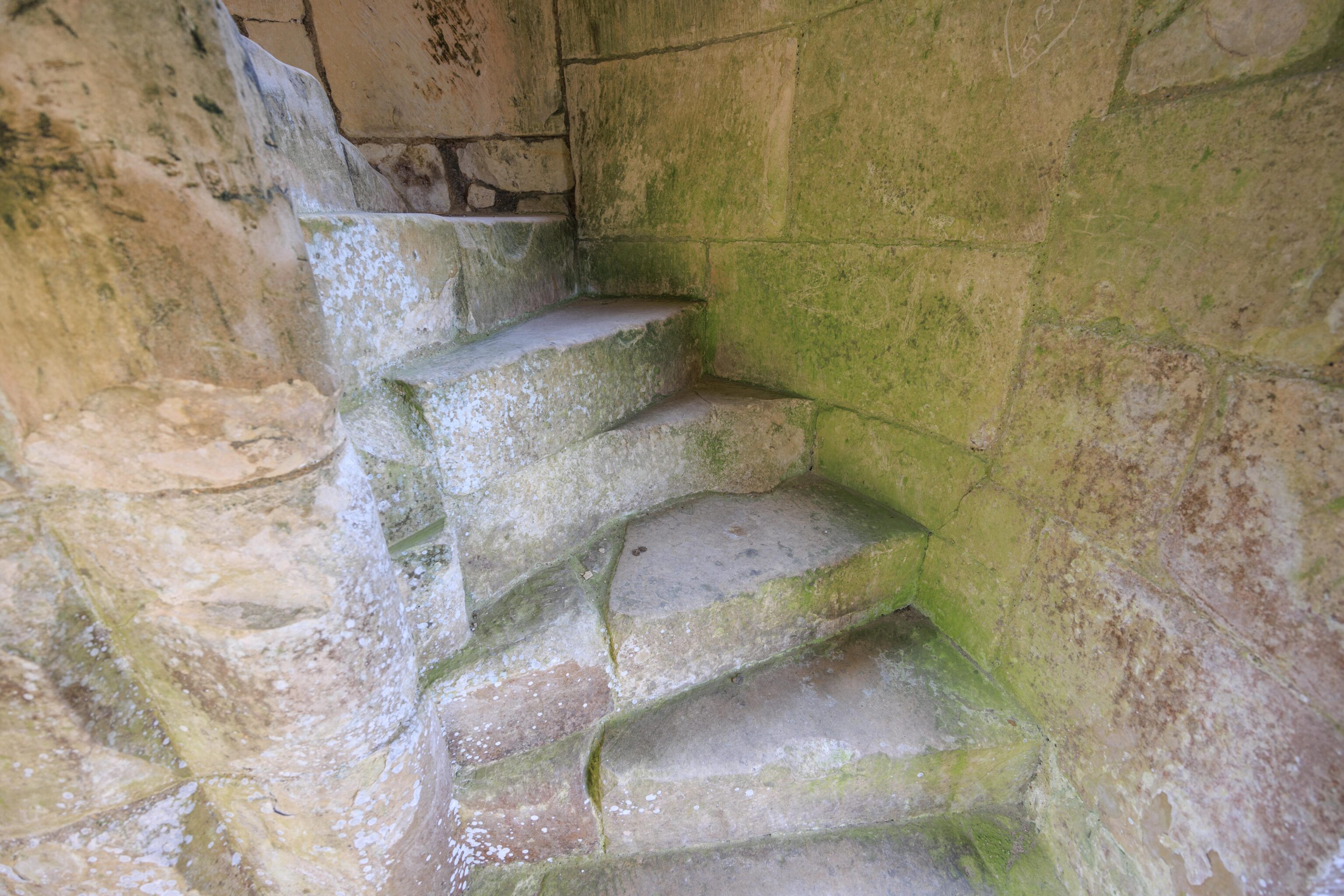
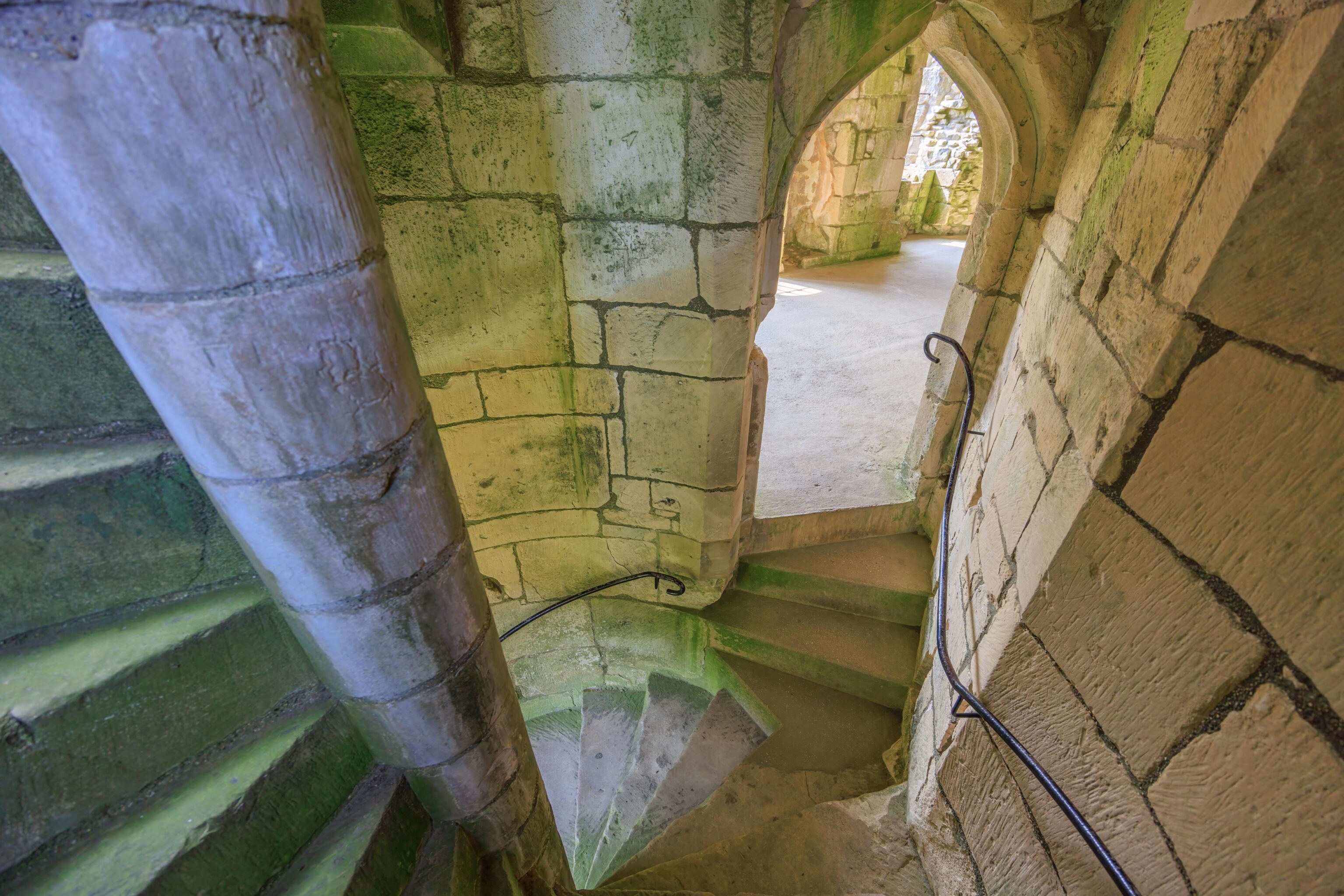
We quickly headed up the stairs to check out the first floor, or as we would call it in America, the second floor.
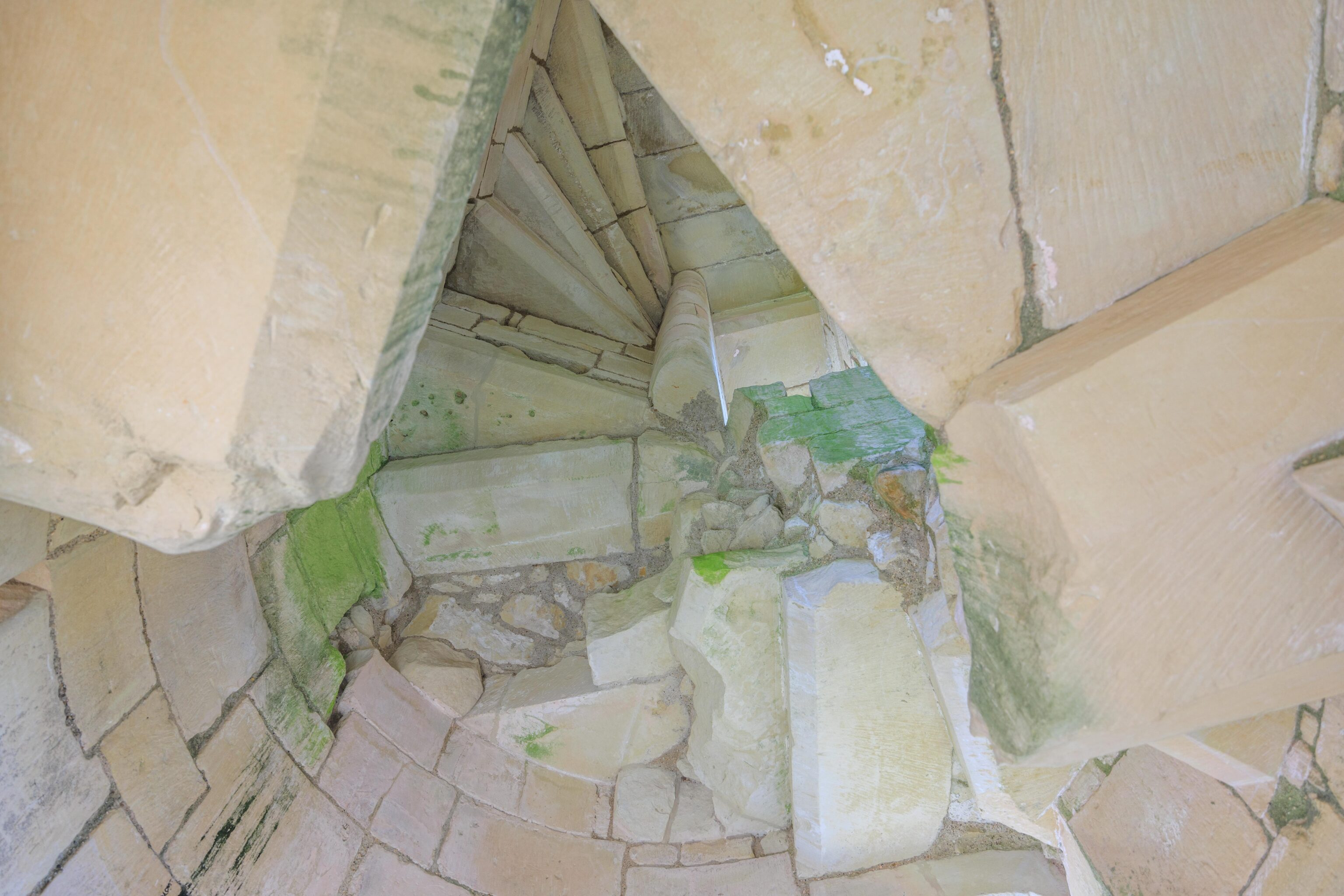
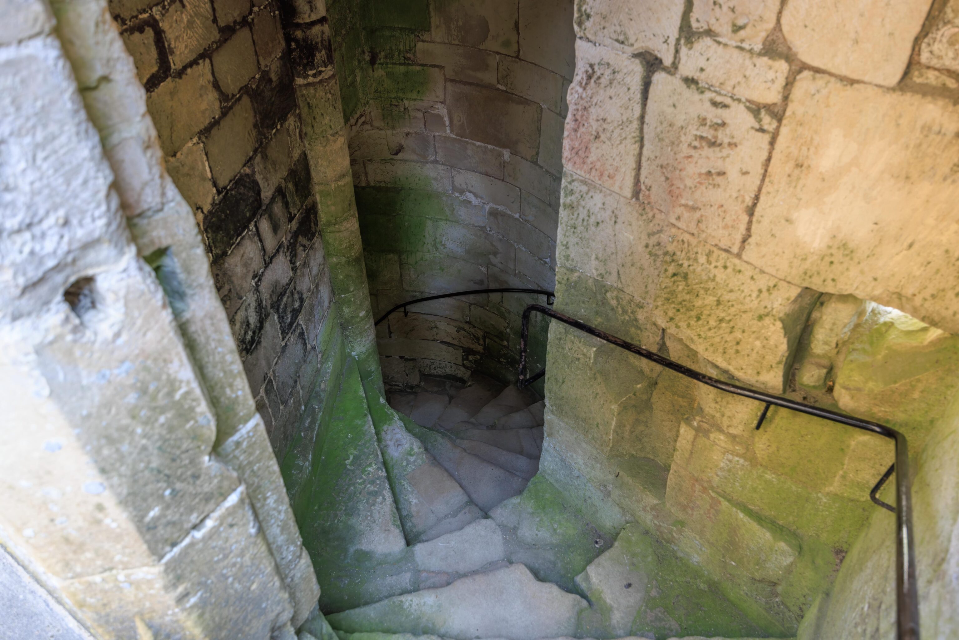
Each of the castle’s towers contained a set of circular stairs. This one was unusable!
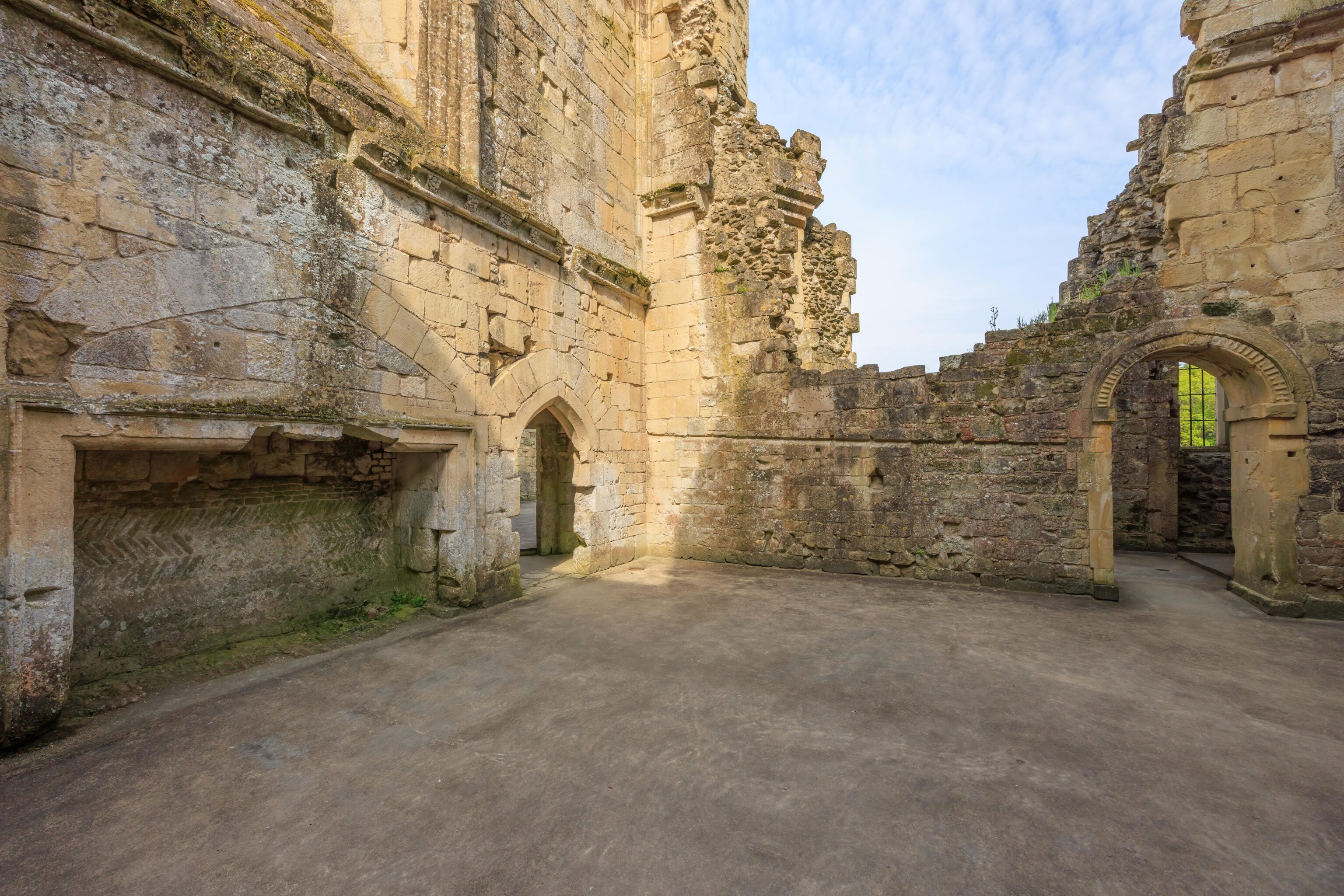
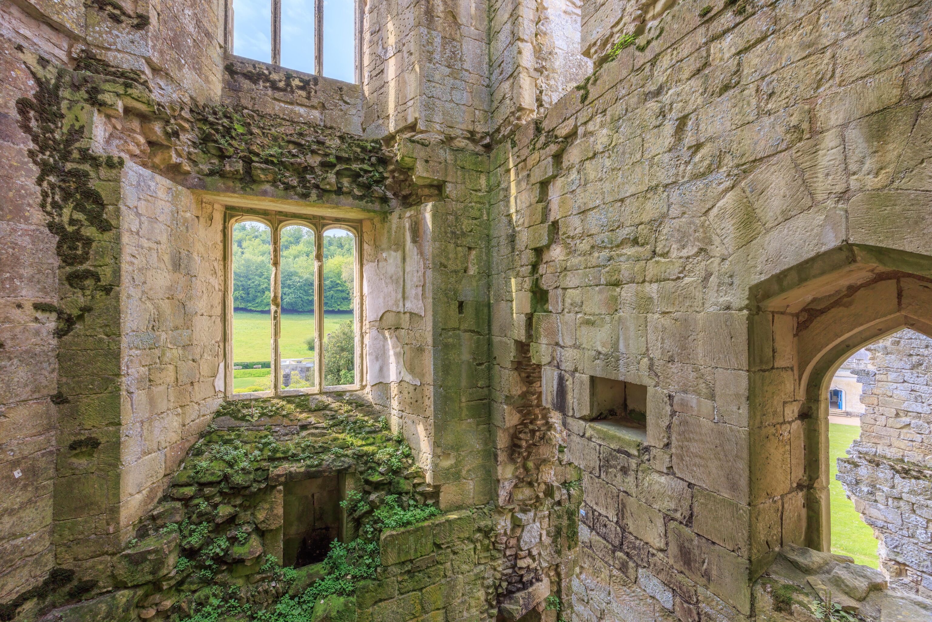
This room was the kitchen. The wall on the right has a space where the fireplace would have been.
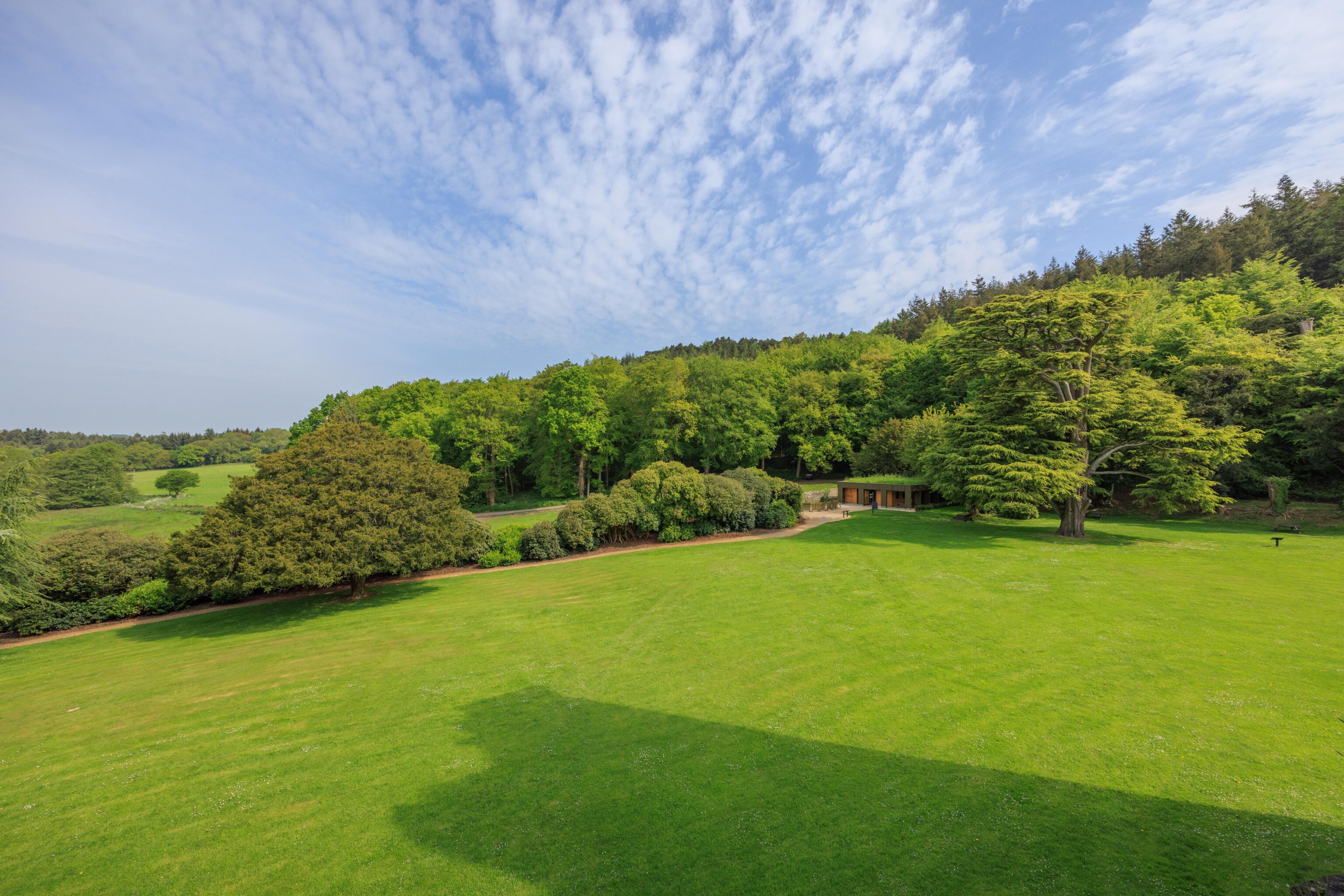
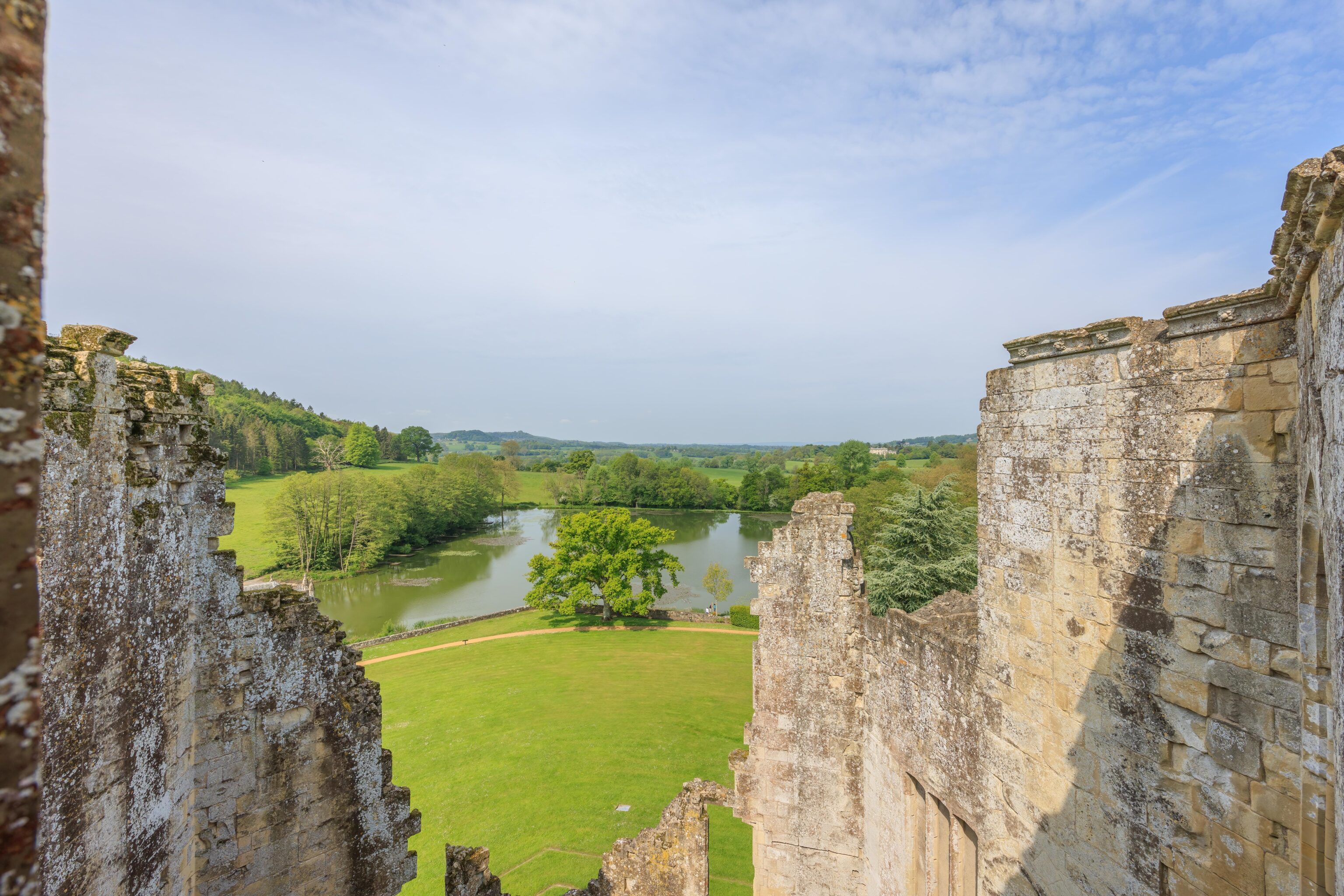
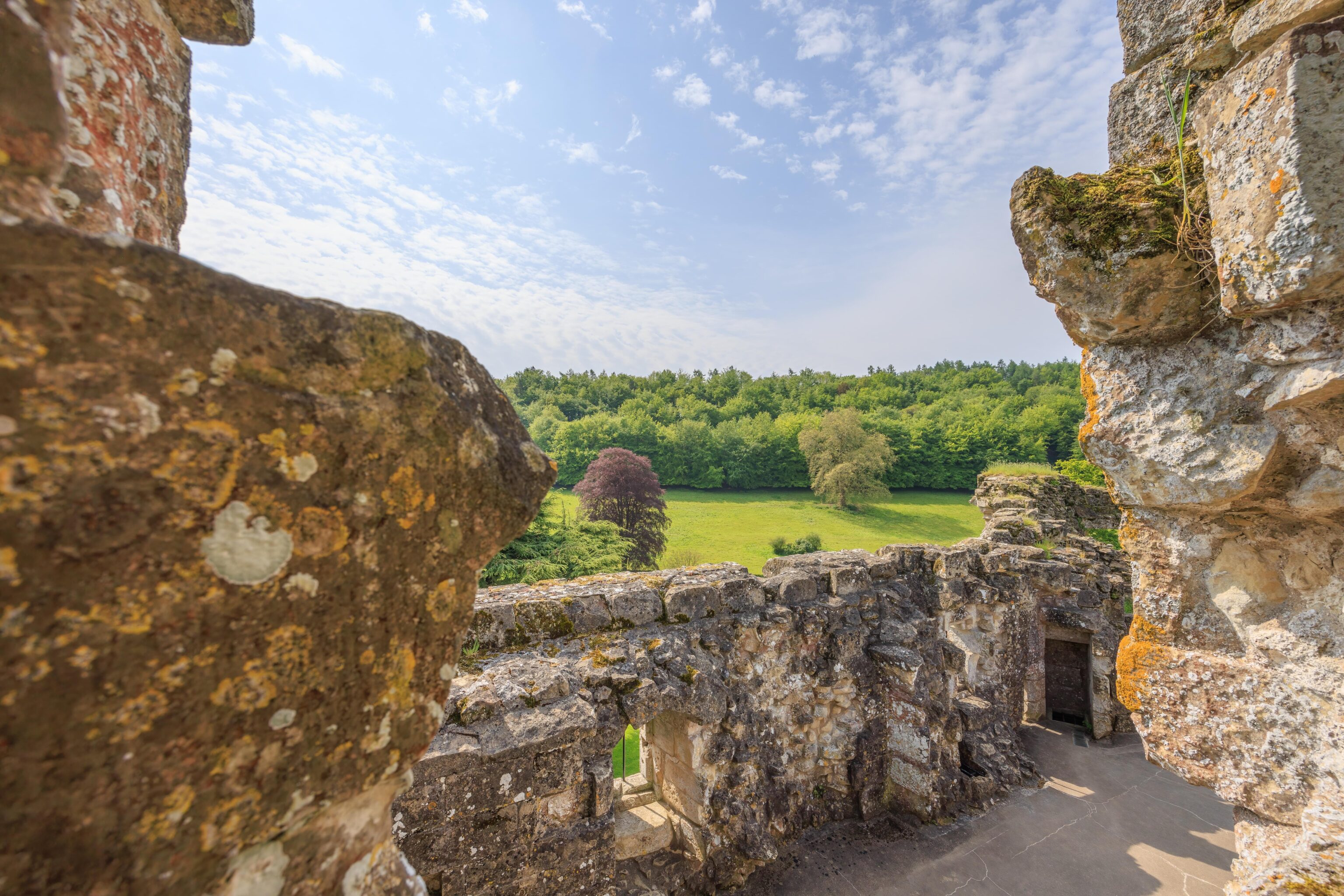
The castle has great views of the surrounding land.
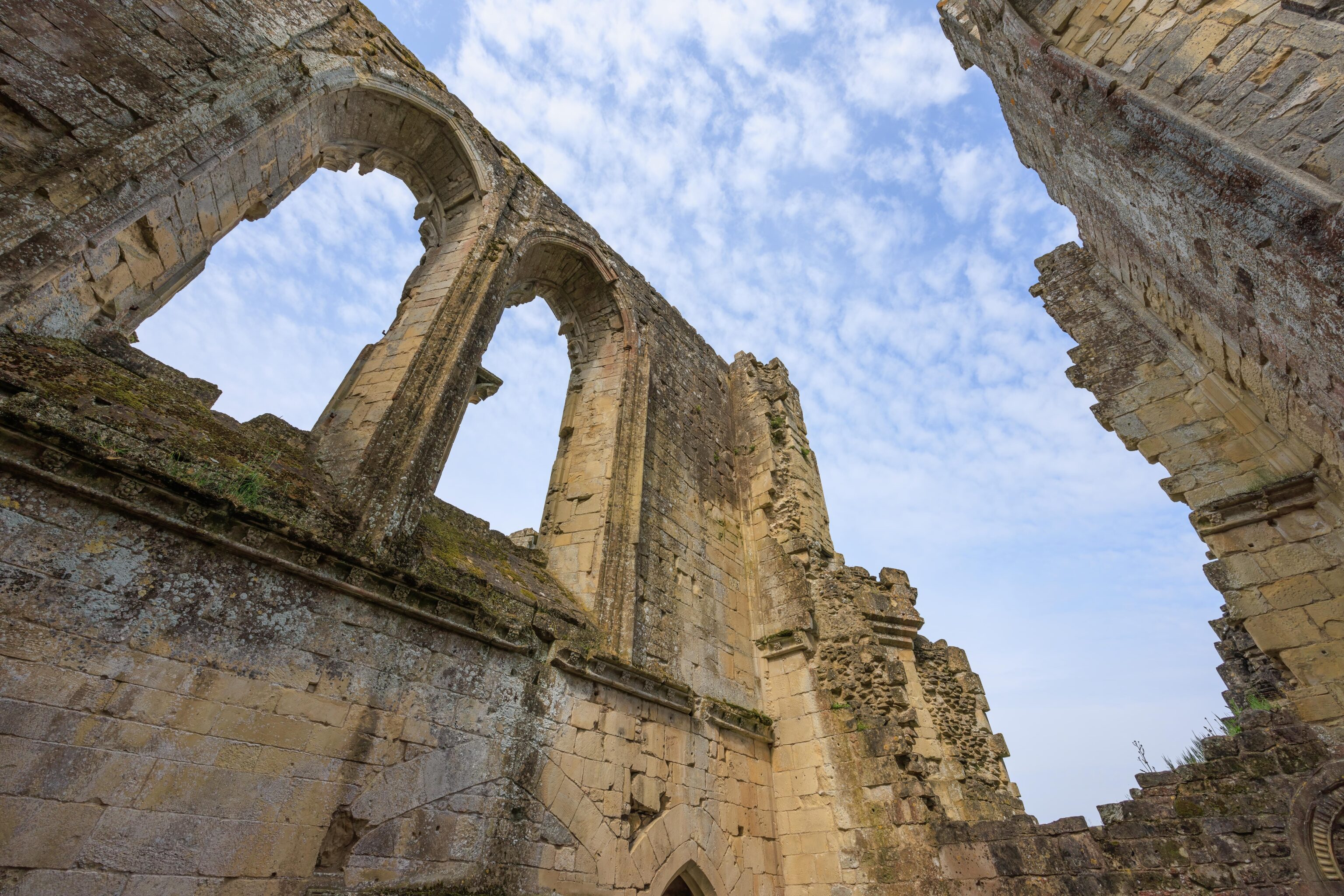
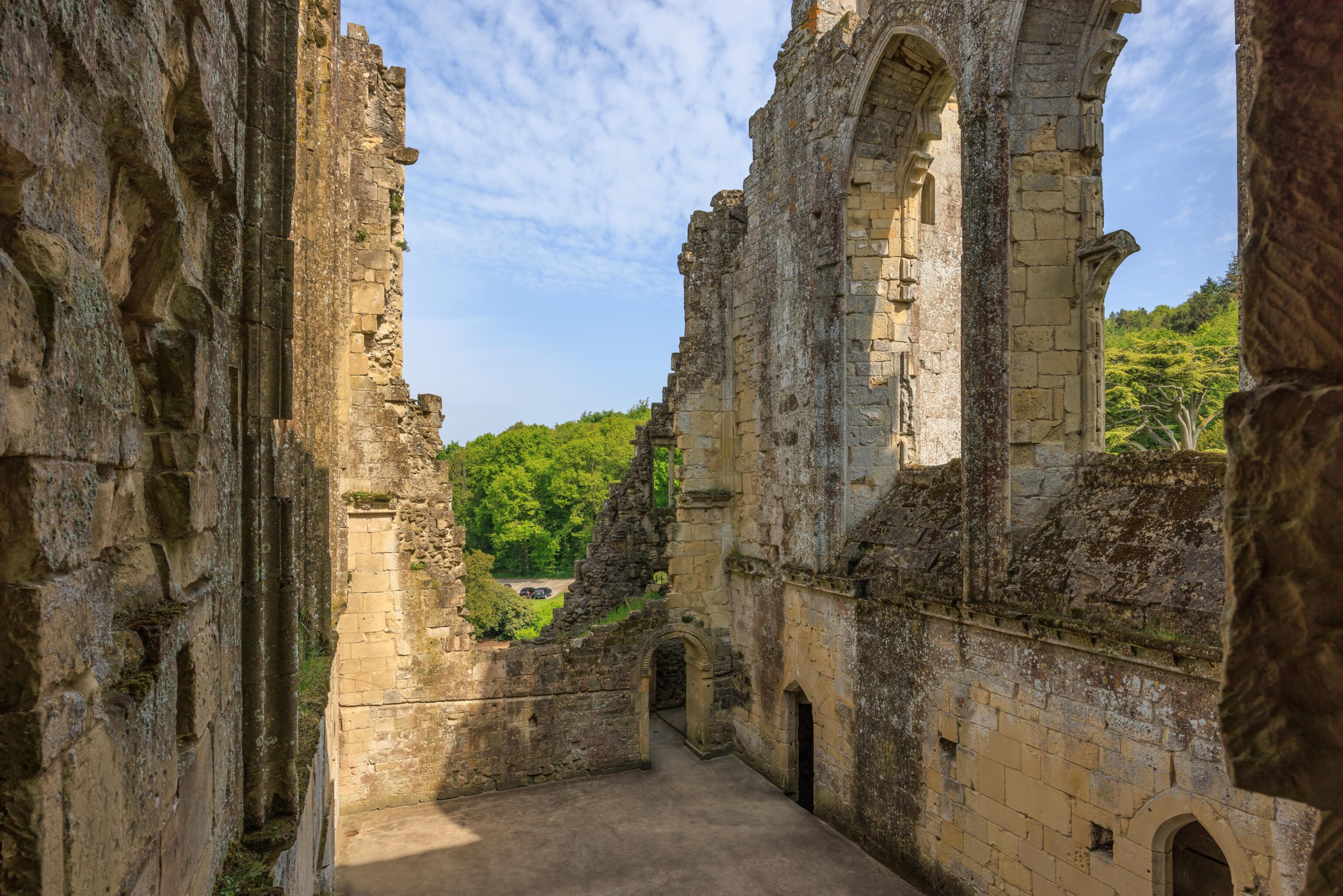
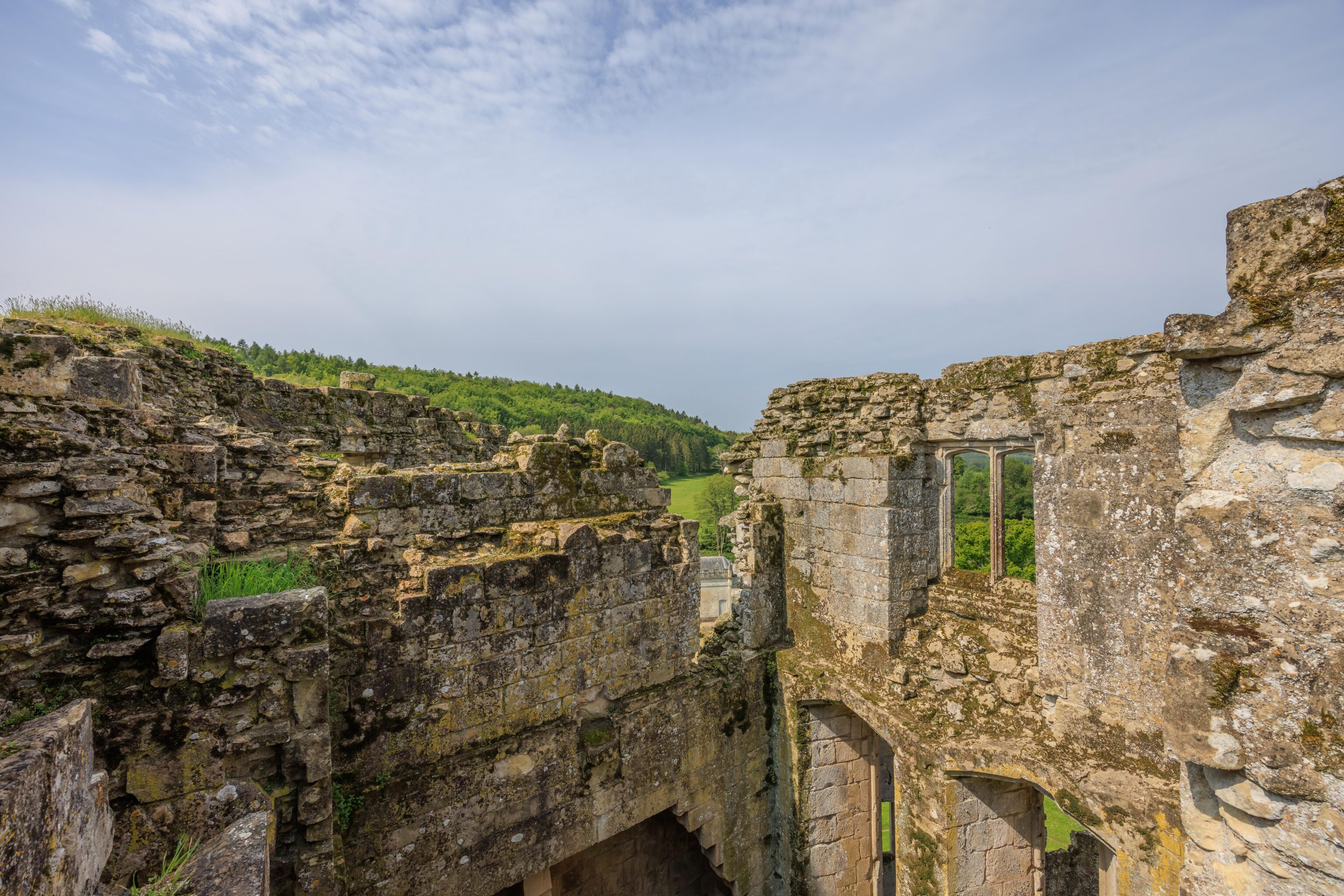
We continued exploring the areas that were open to visitors. Much of the remaining structure is completely open to the elements.
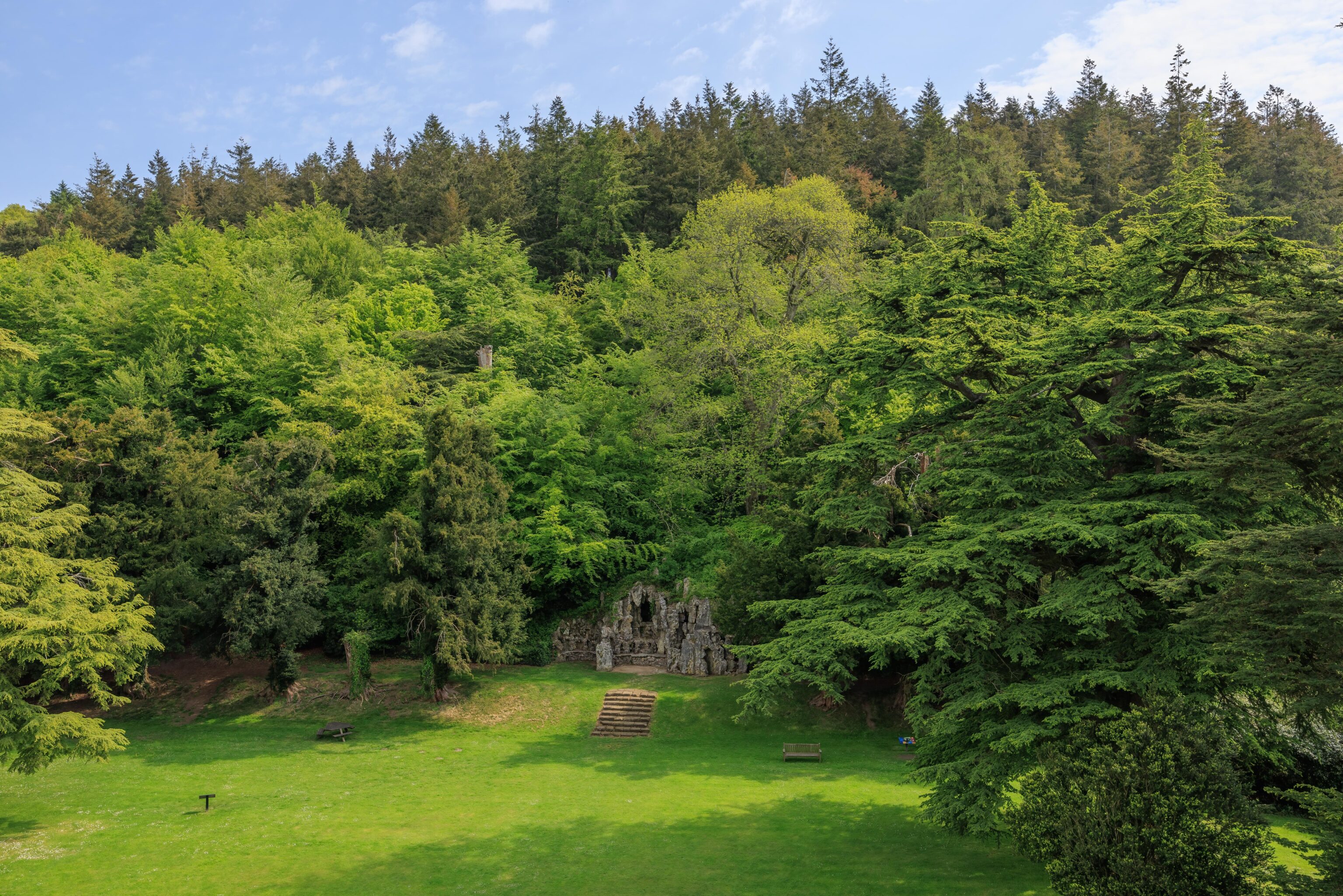
There is a small grotto directly across from the castle entrance. It is a fairly recent addition, built in 1792.

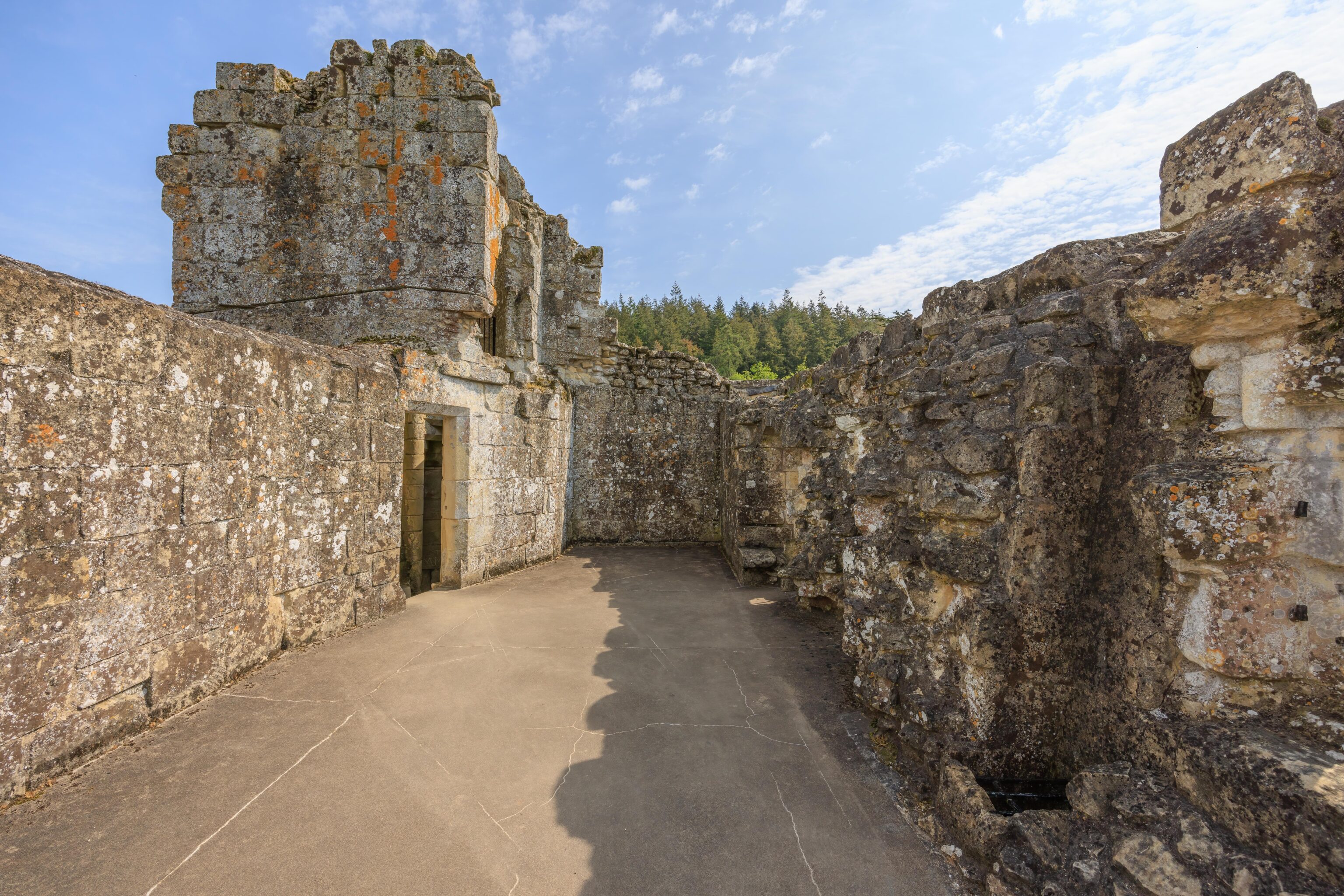
We soon reached the second highest remaining floor of the castle.
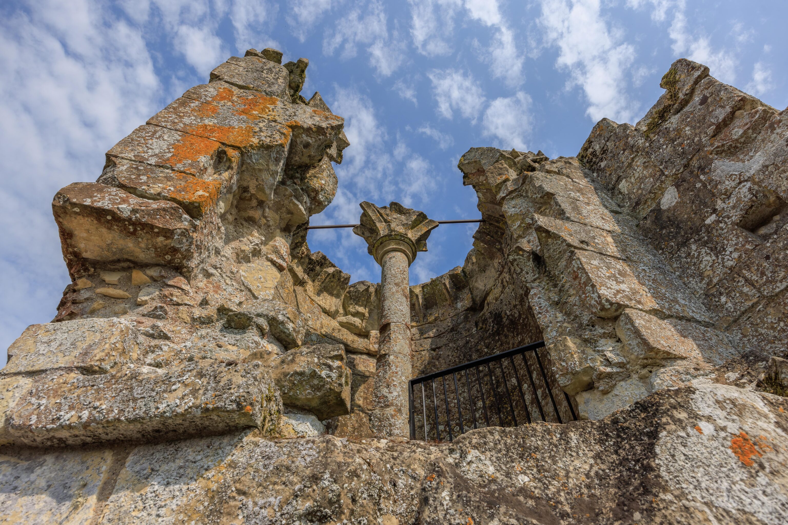
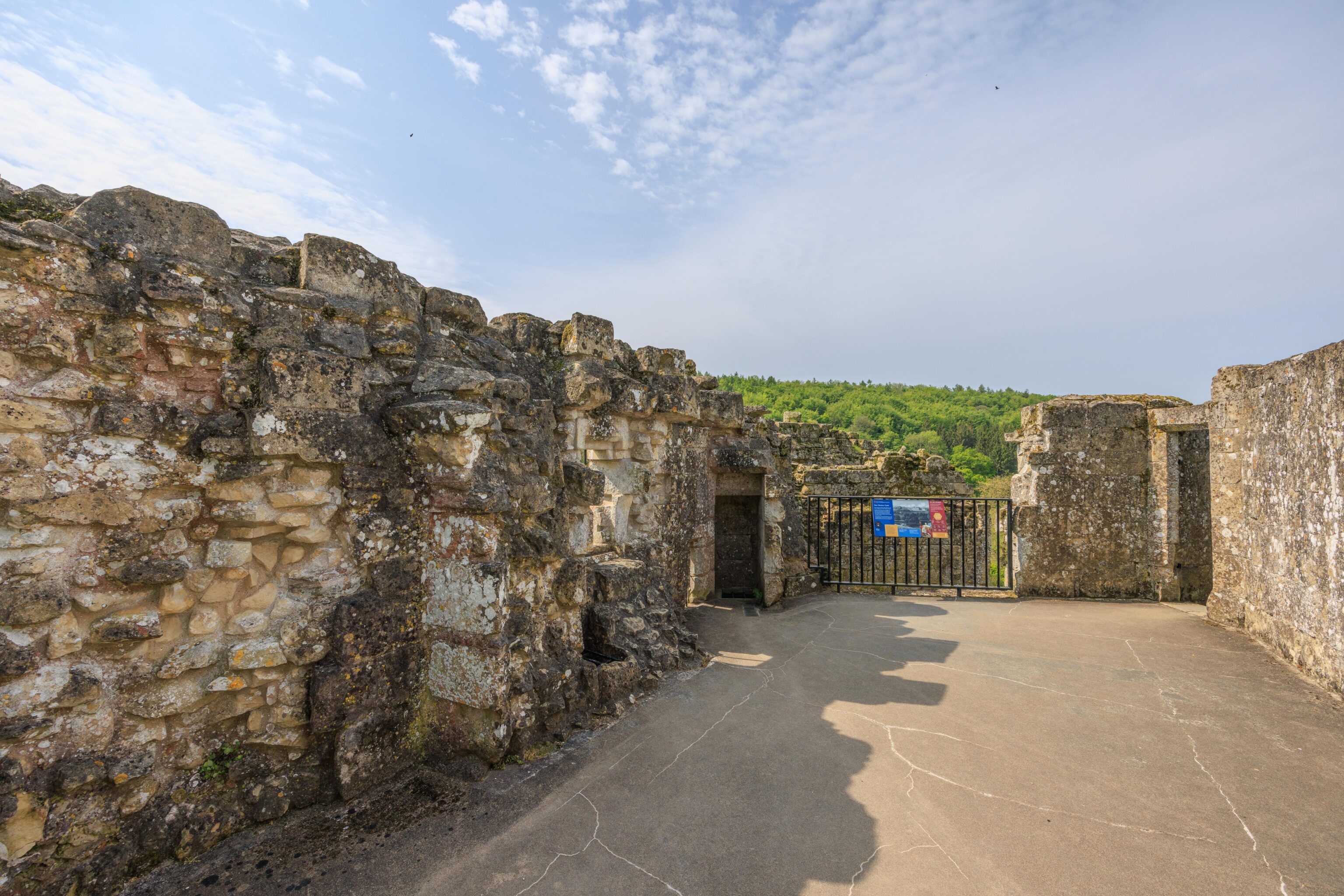
The highest floor is just at the top of the stairs in one of the towers. It isn’t really a floor, the stairs just end at the fence above.
The view from the top!
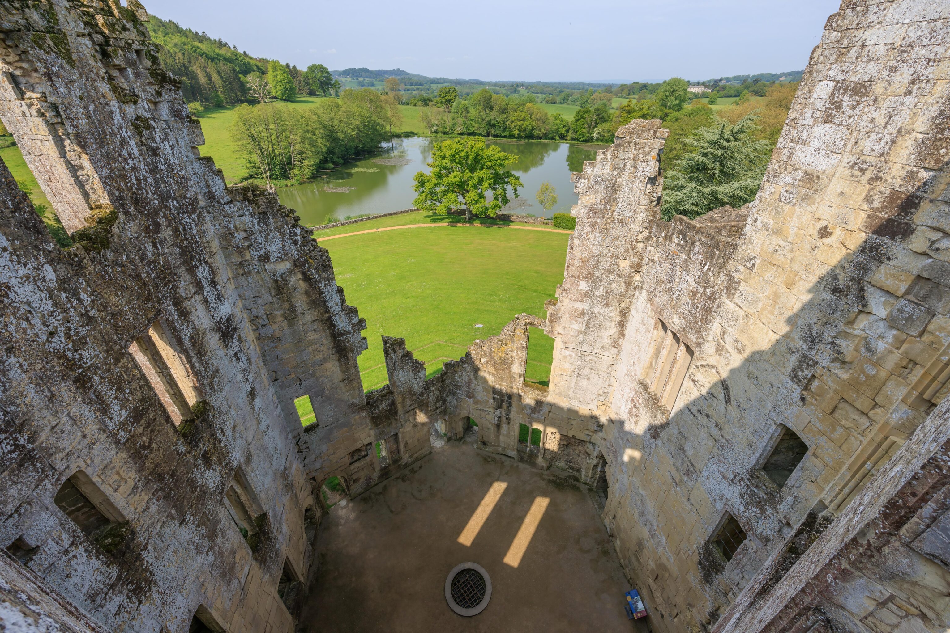
After heading back down one floor, we looked down into the courtyard.
We then descended back to ground level.
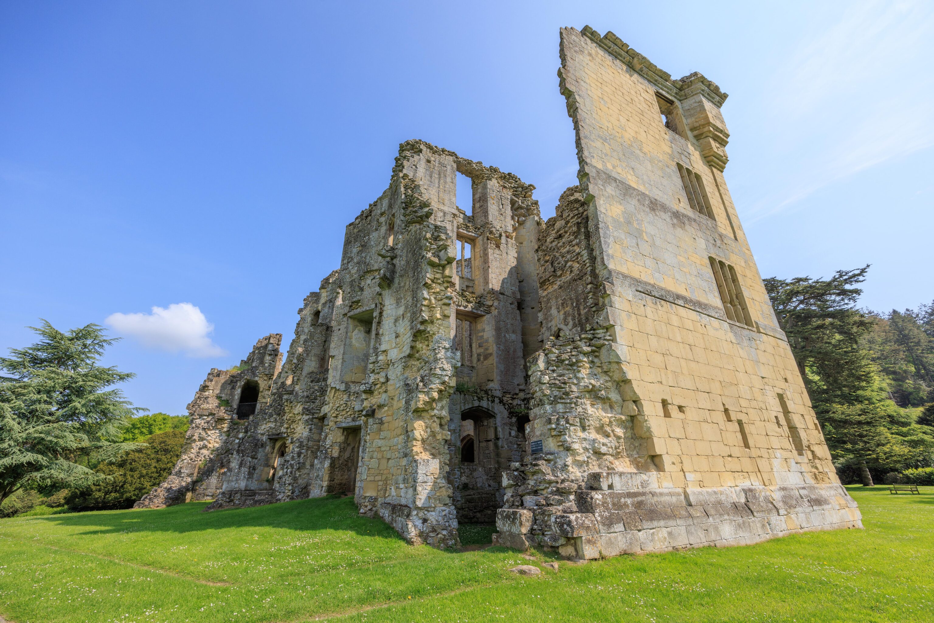
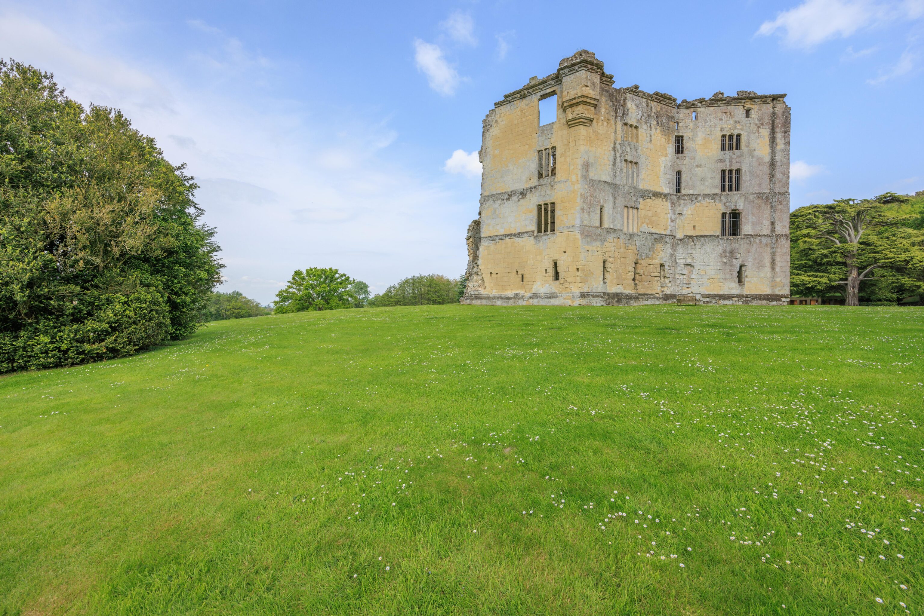
A view of the ruins from the back.
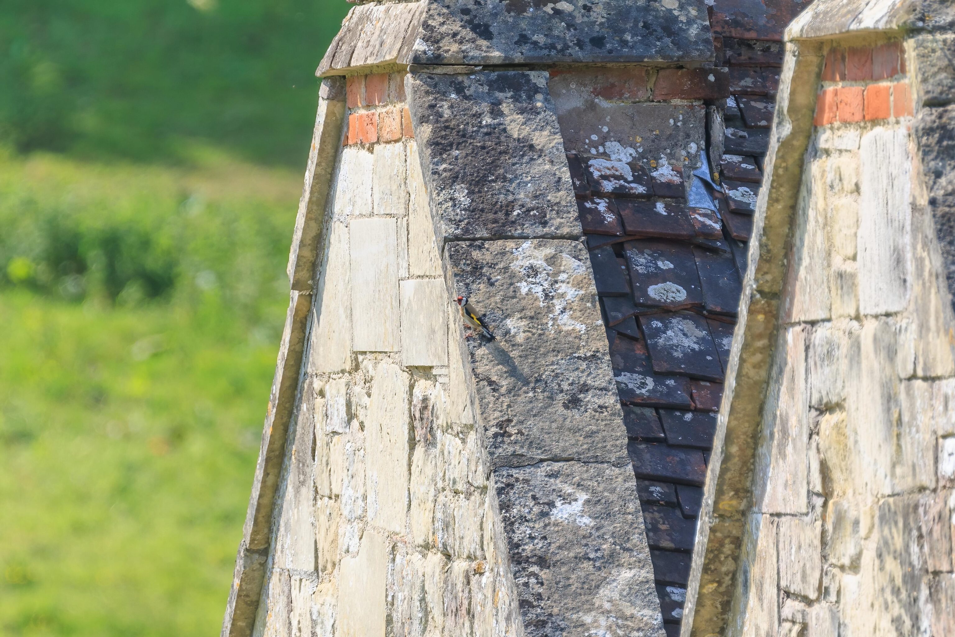
We’ve heard birds everywhere so far during this visit to England. We’ve seen some of the smaller ones darting here and there but didn’t try to take a closer look with the telephoto lens until today. We found this European Goldfinch, our first time seeing this species.
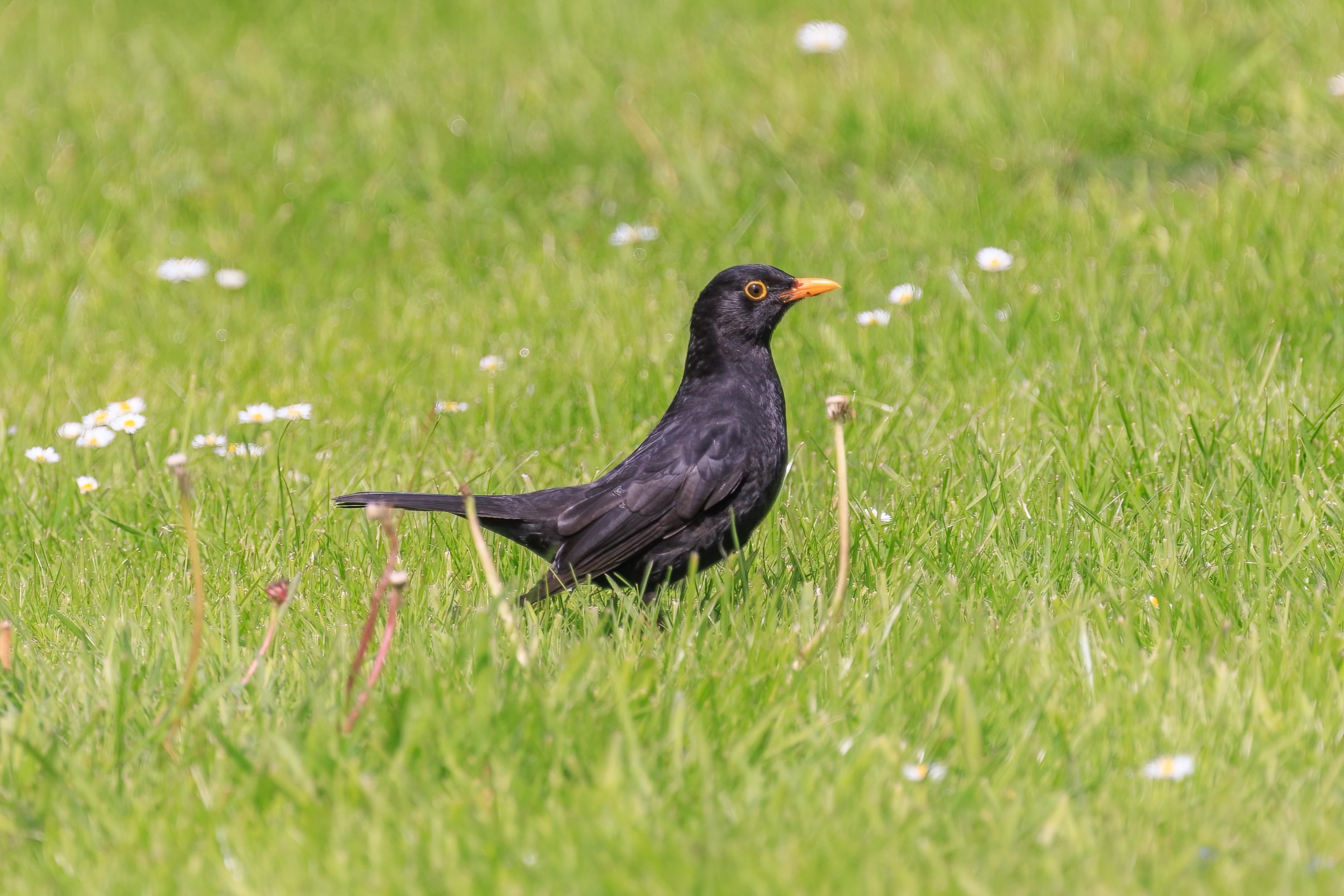
Eurasian Blackbirds seem very common. We noticed them for the first time in Switzerland last year.
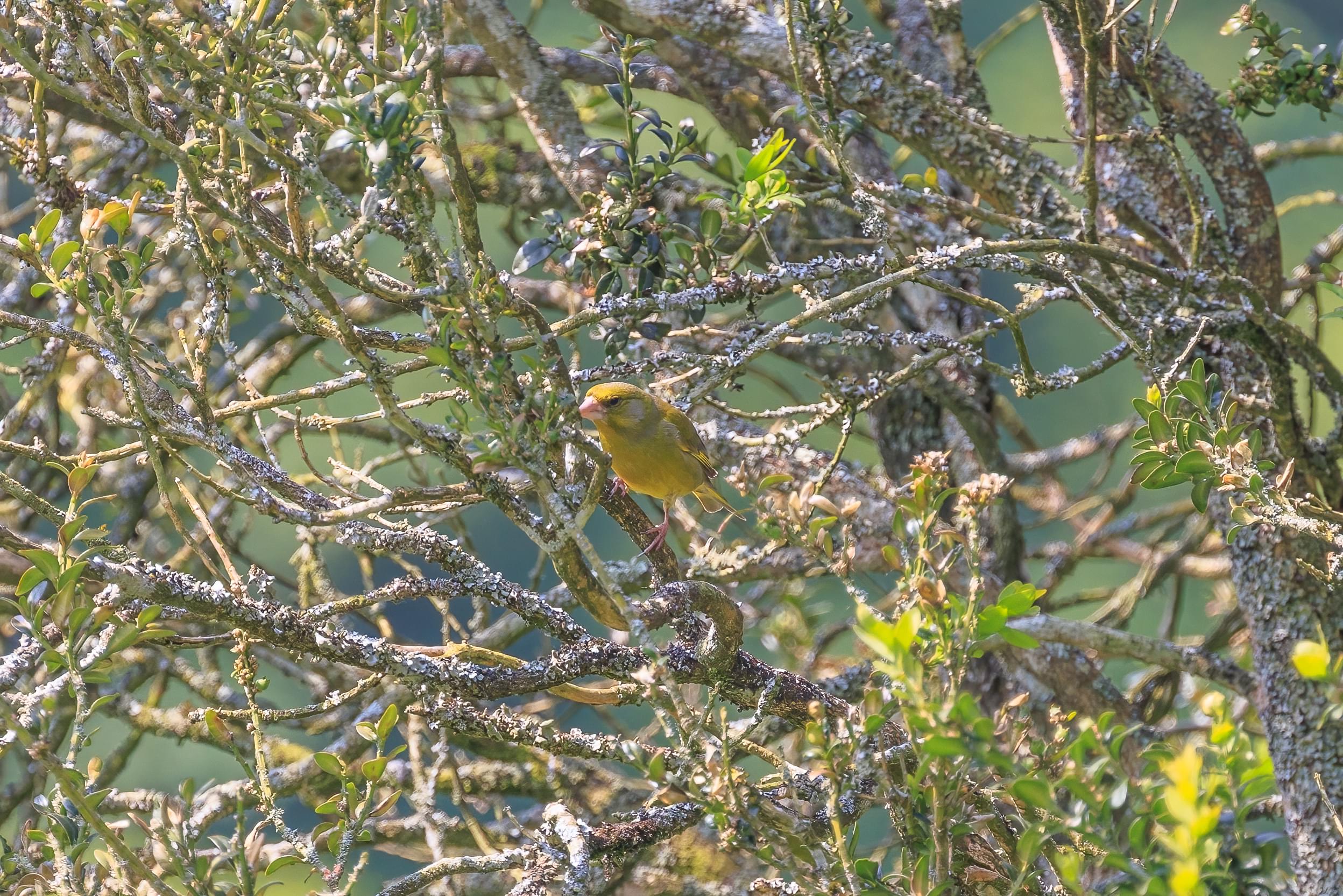
We also found a European Greenfinch! This is our first time seeing this species.
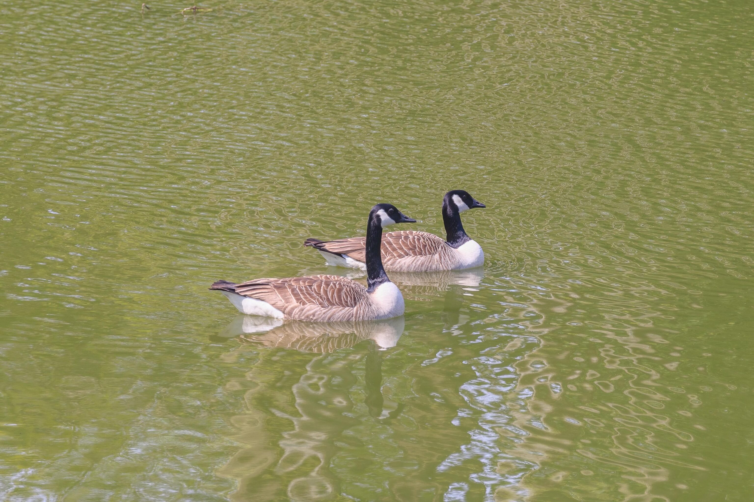
We also saw Canada Geese…
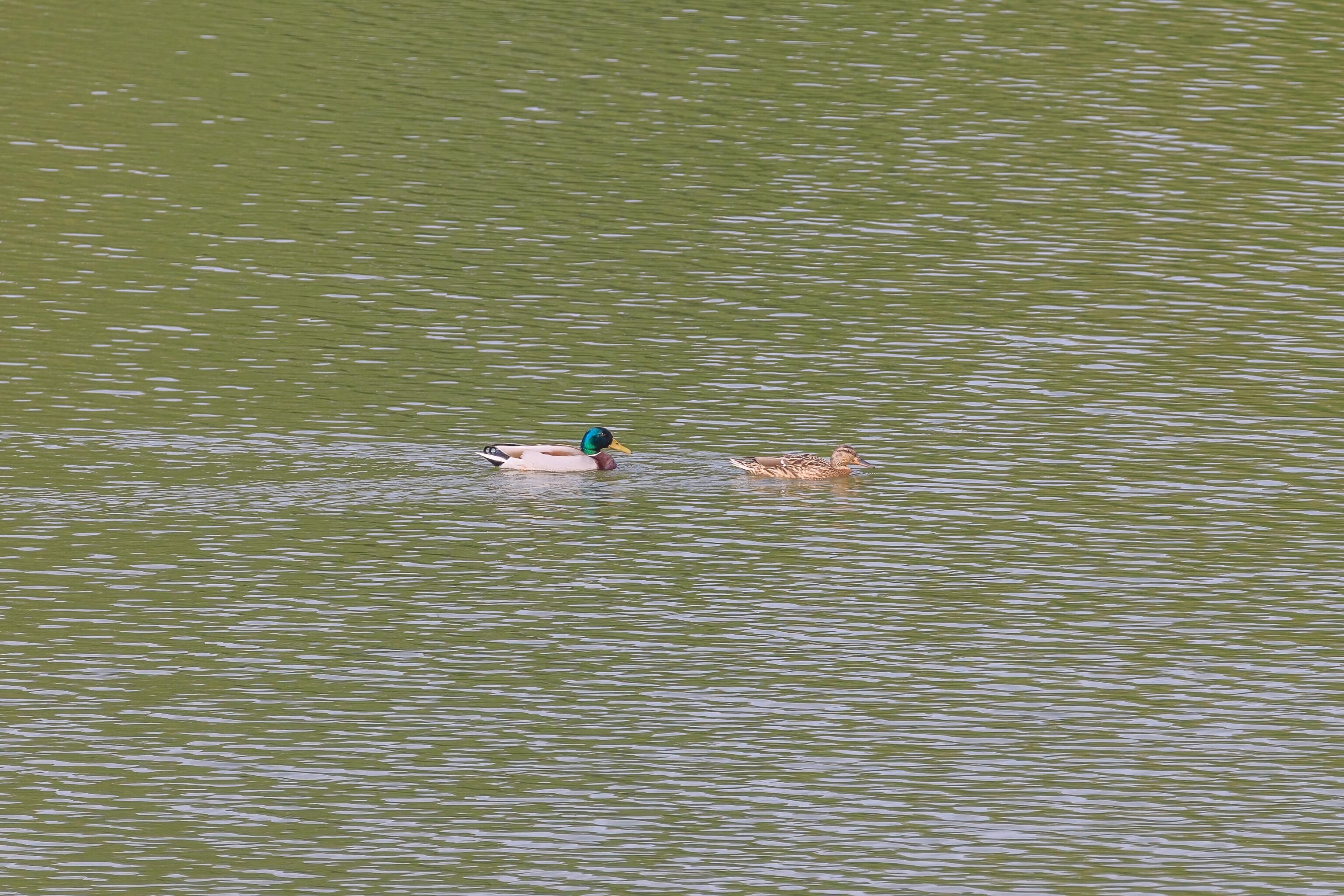
And we saw Mallards.
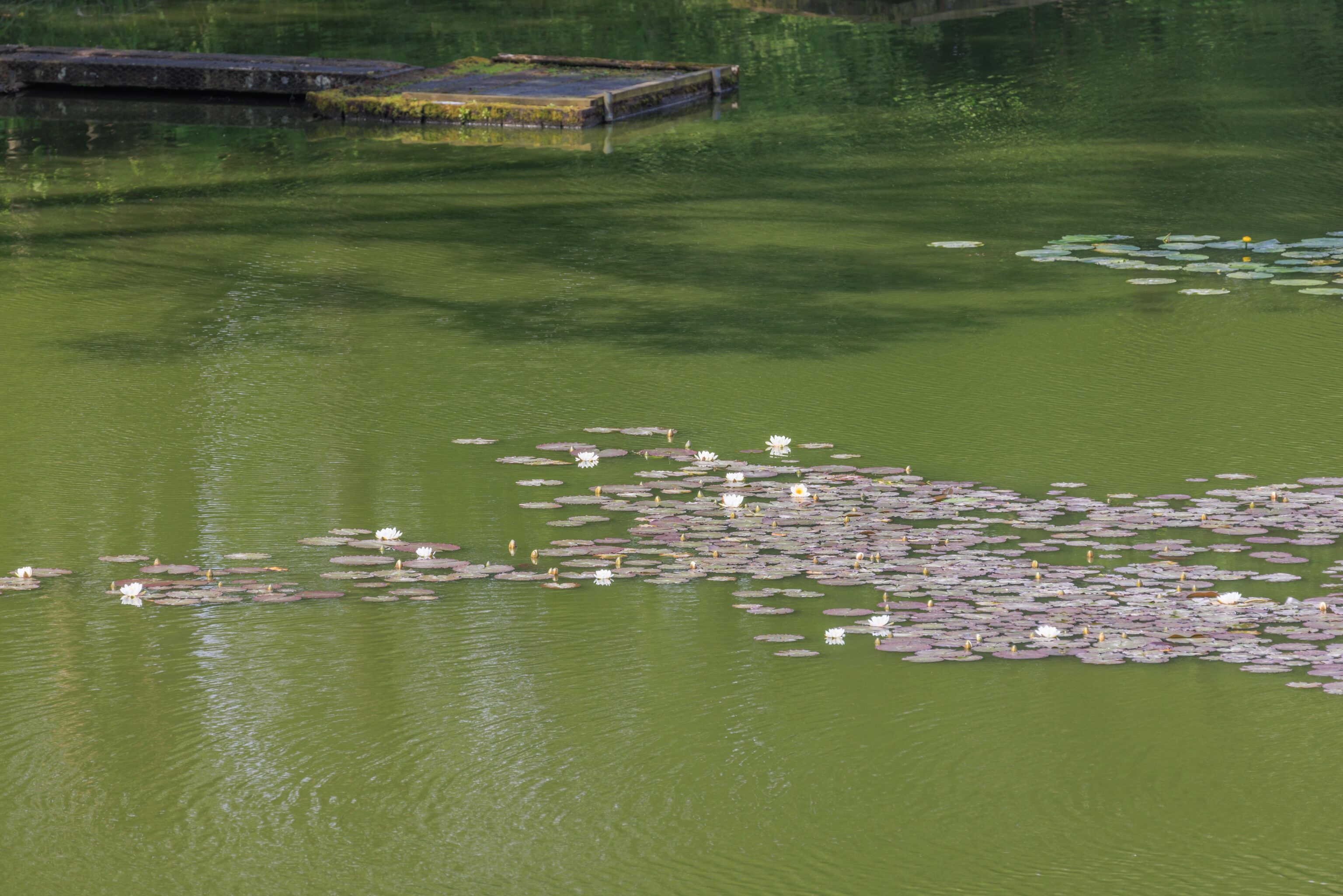
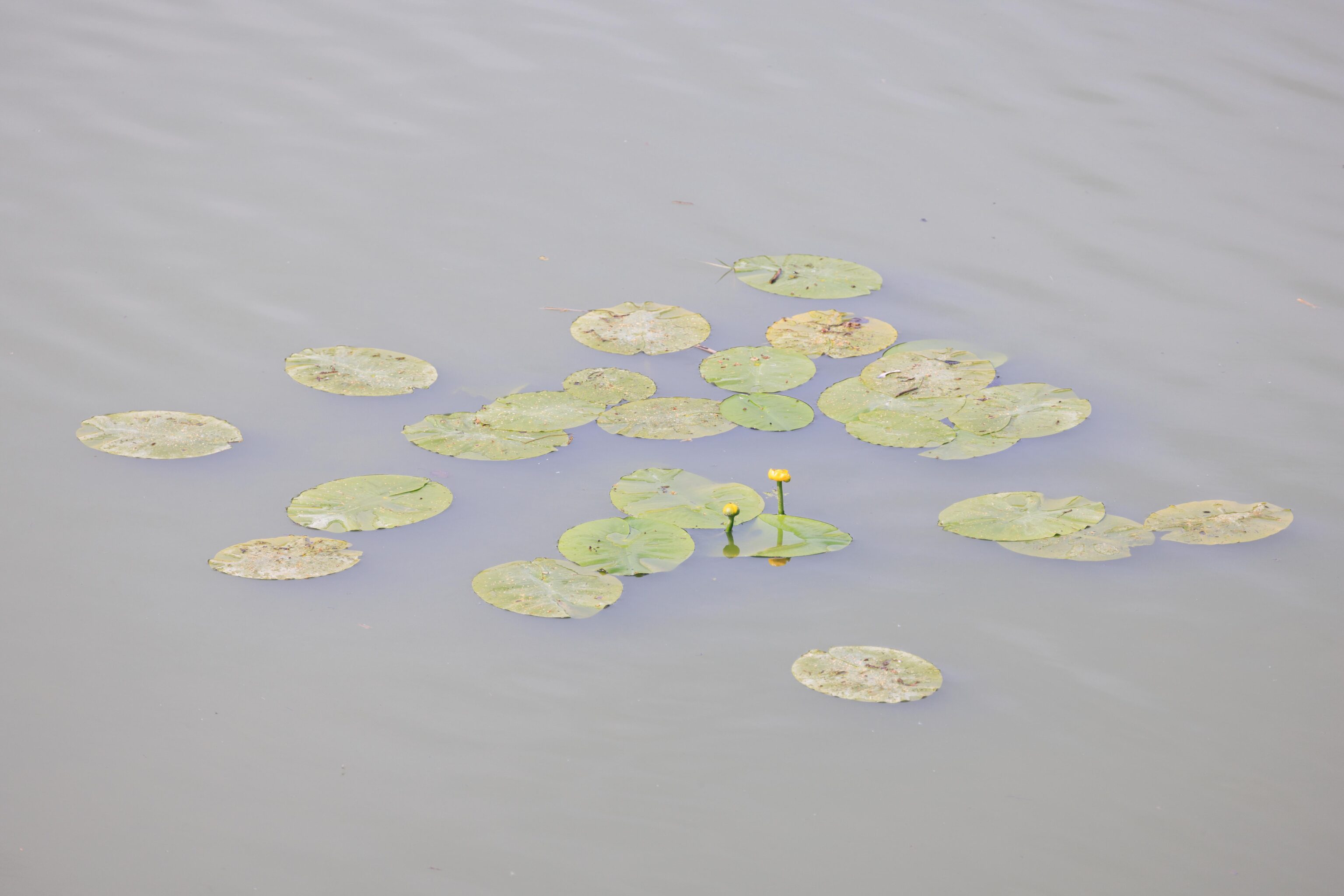
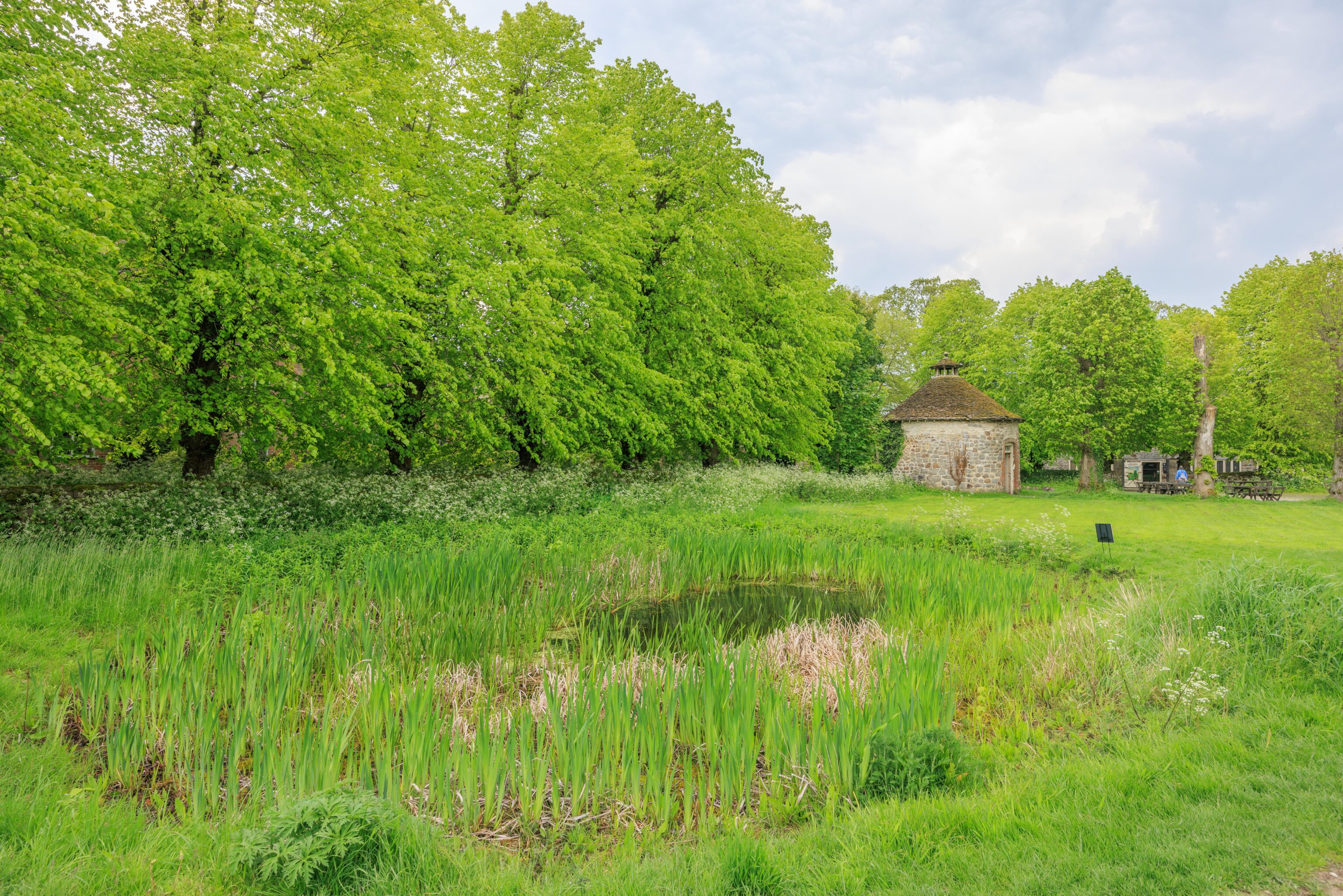
The pond had a number of water lily clusters.
The castle ruins from near the pond.
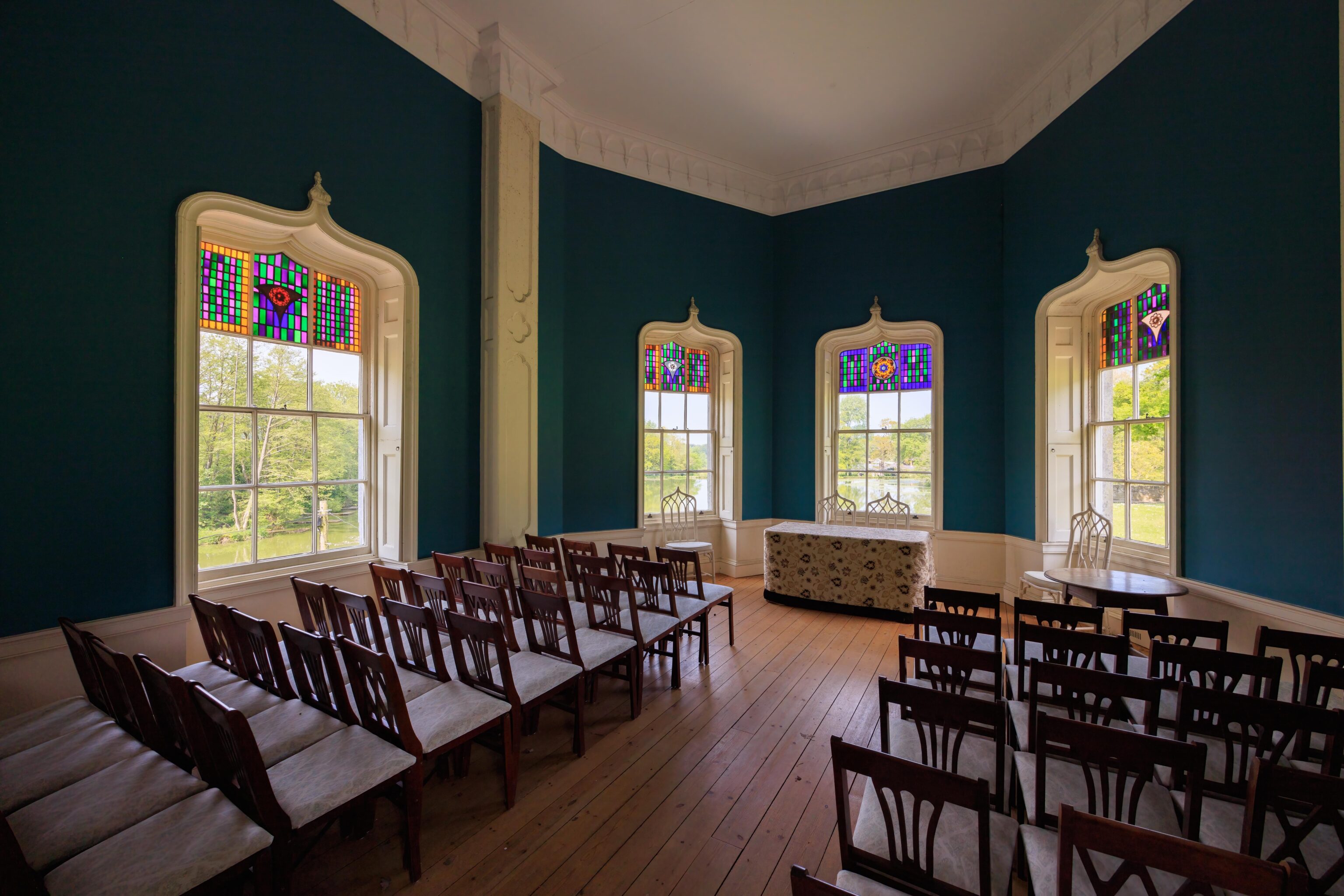
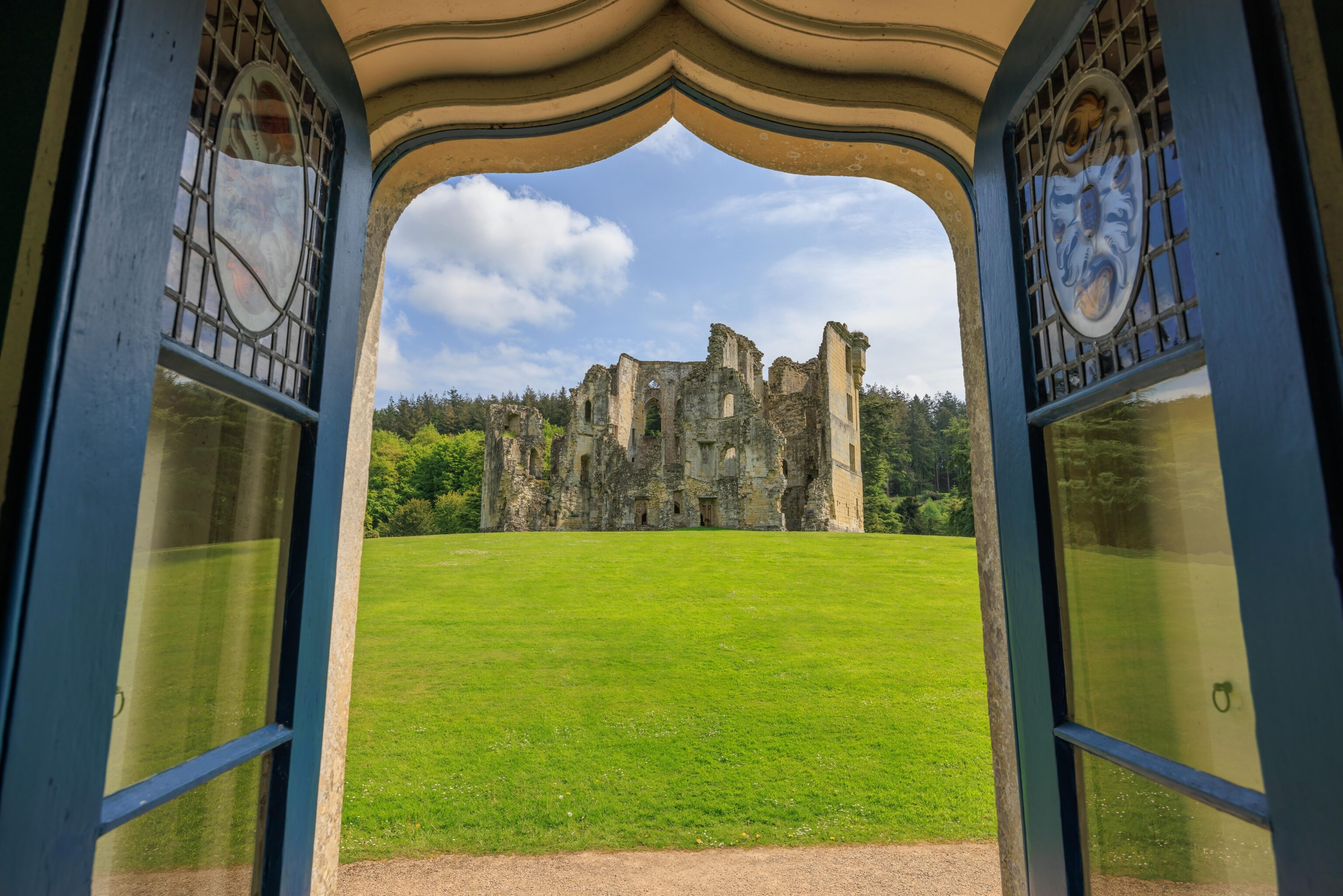
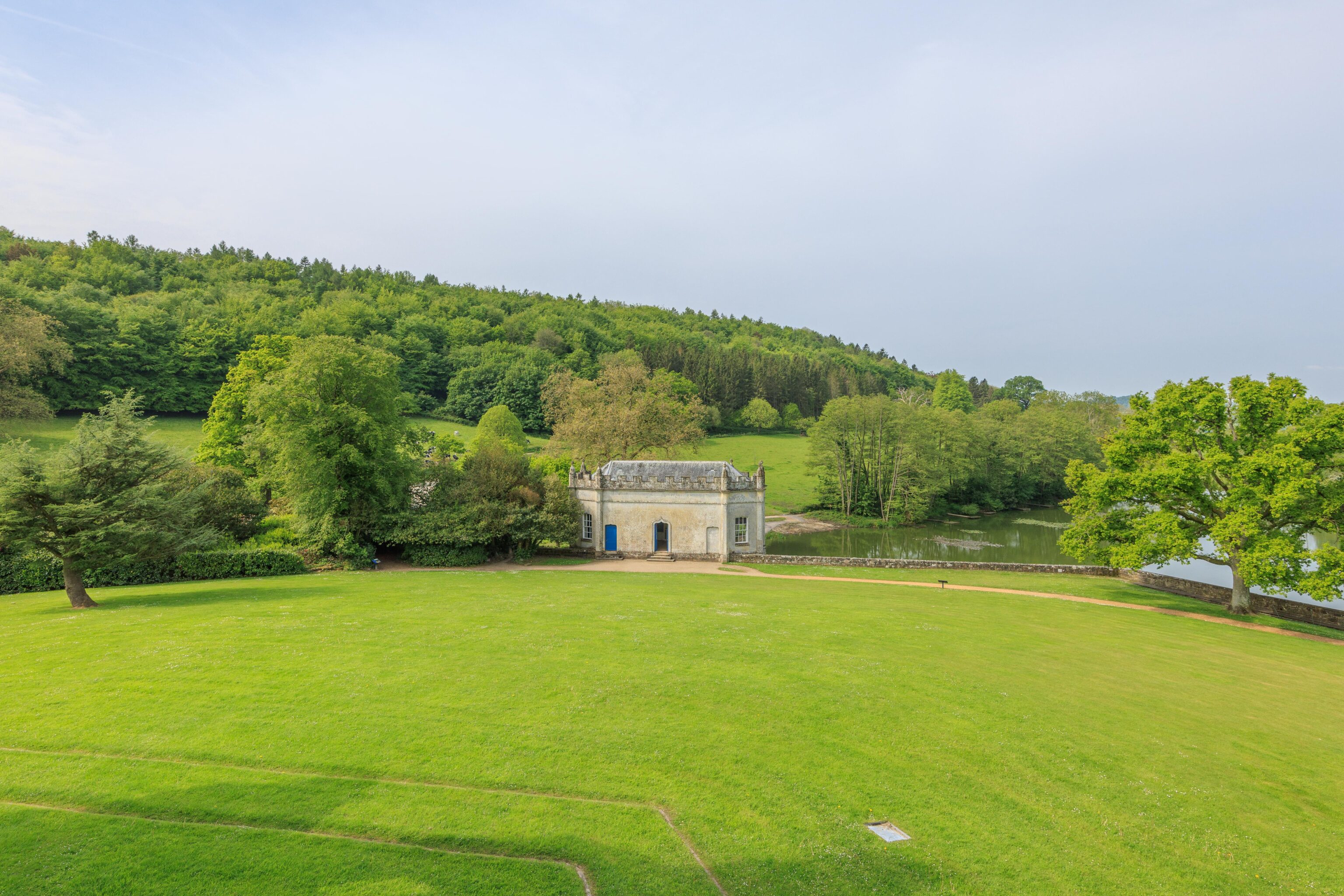
There is a small building by the pond that is currently used for events.
We started to head back to the front of the castle, going around the east side.
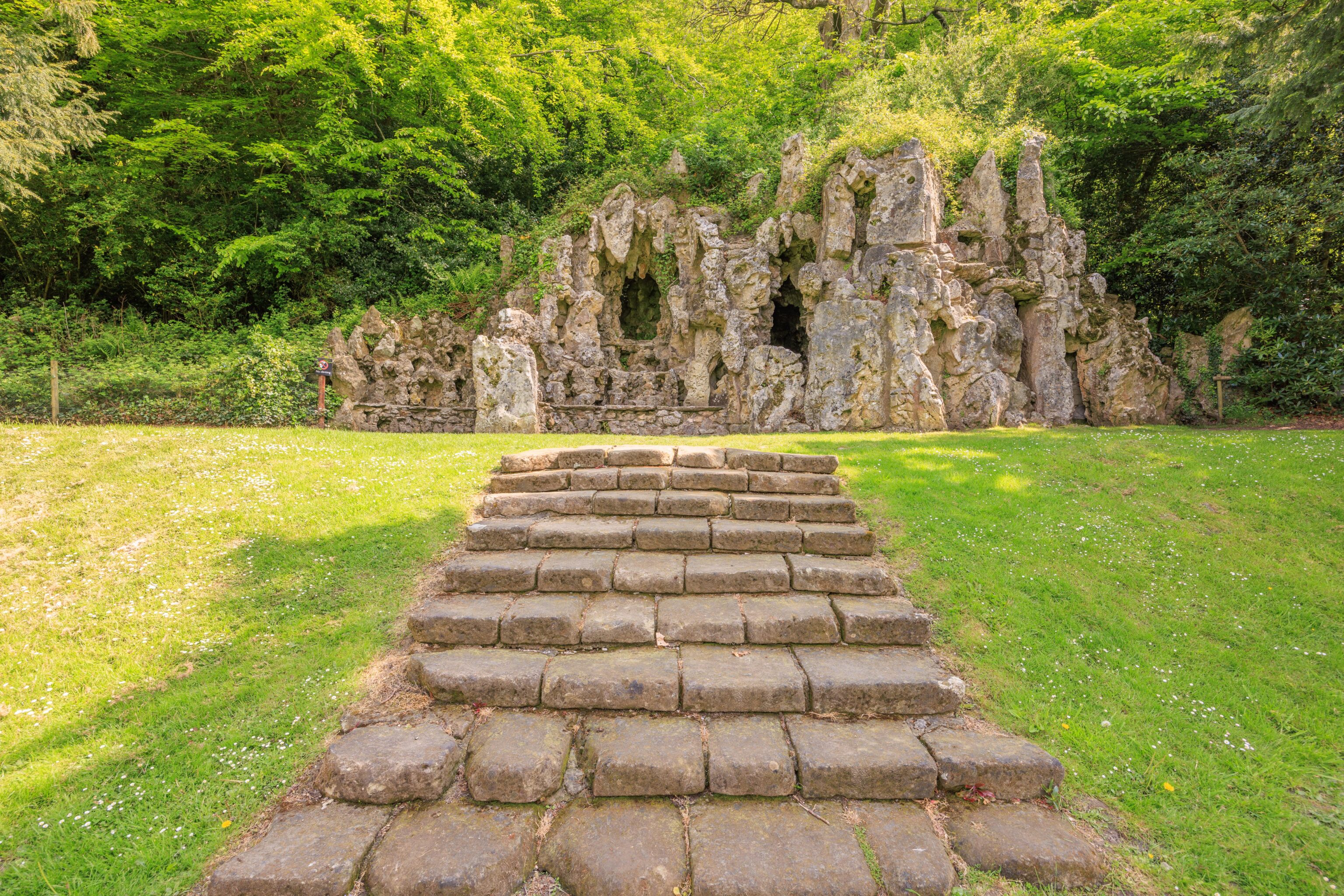
We took a closer look at the grotto.
And one final look at the castle from the front before heading out.
Avebury
After lunch, we headed to Avebury village. There is a parking lot on the edge of the village near the henge and stones. It rained a bit while we were eating but luckily it did not rain while we were exploring the site.
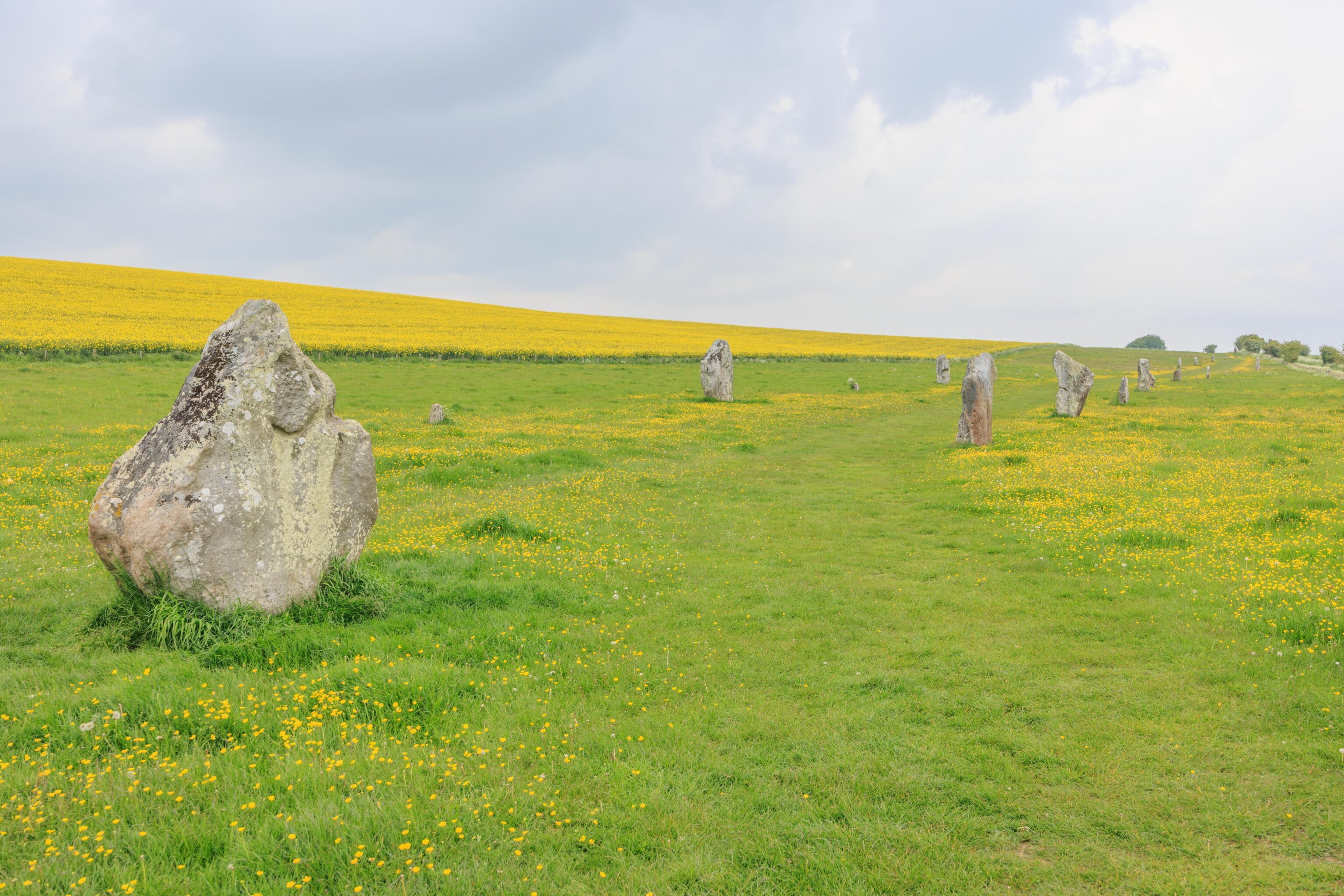
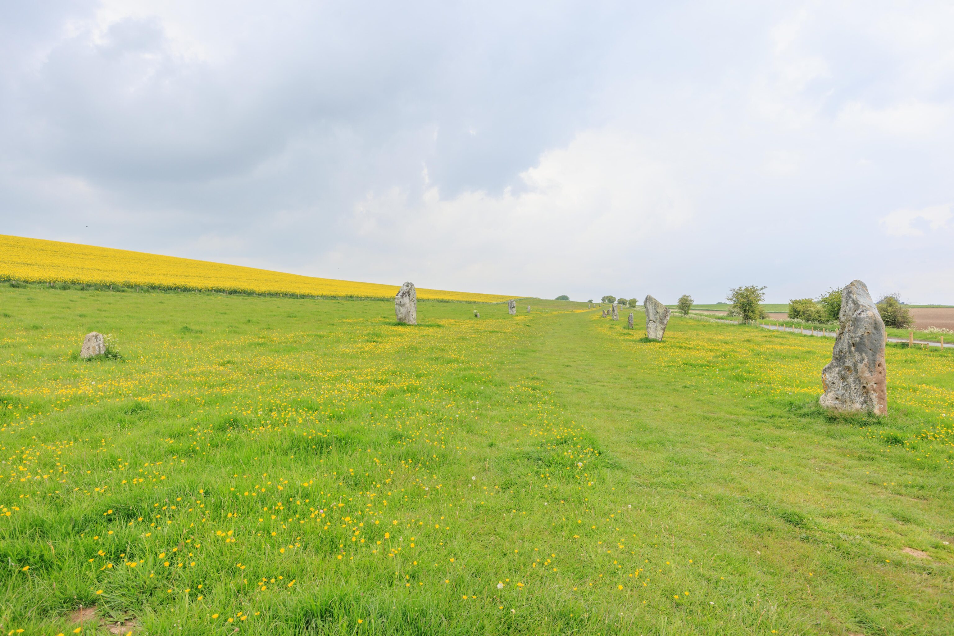
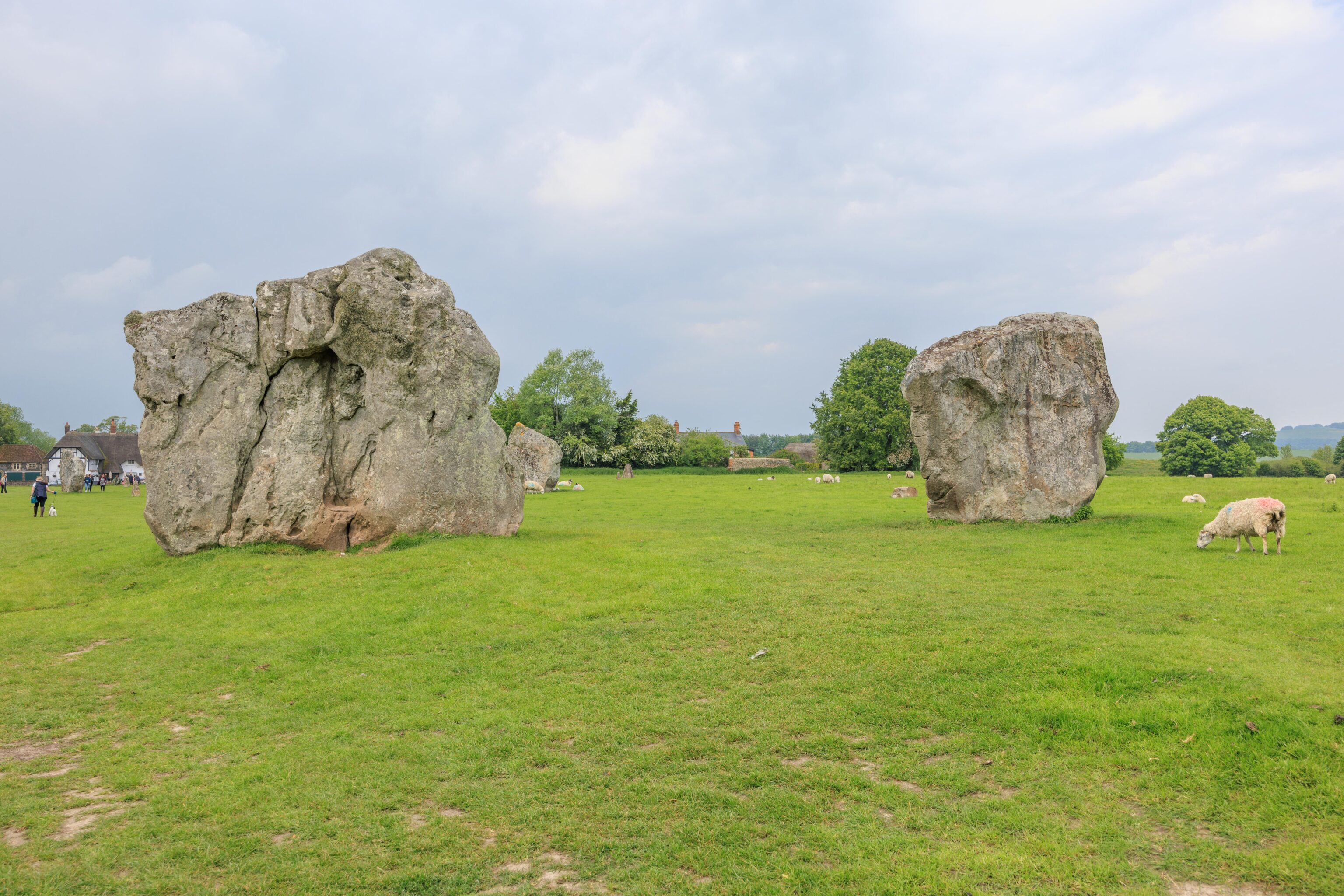
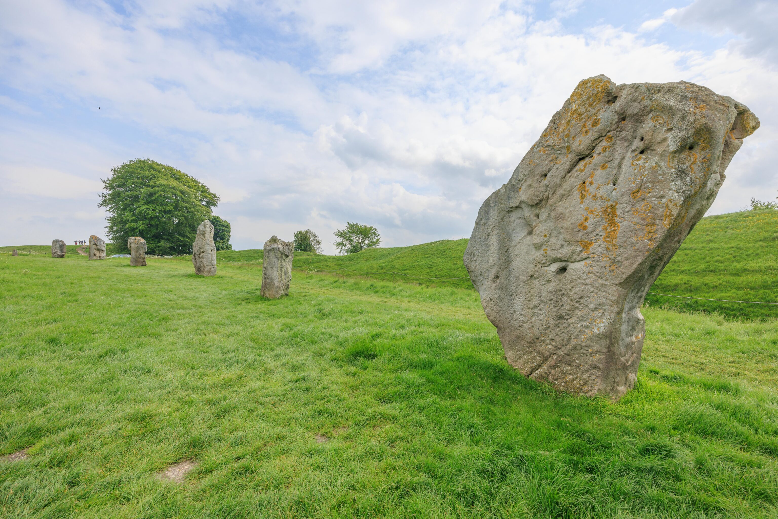
Our first view of the stones at Avebury was actually before we got to the village. There is a path lined with stones leading to the henge. We took a brief look at the southern end of the stones before driving to the parking lot.
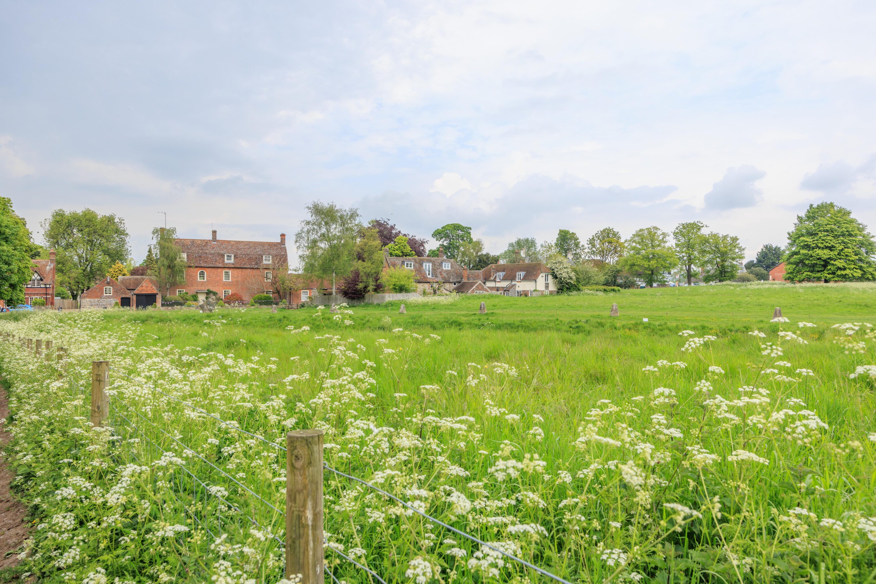
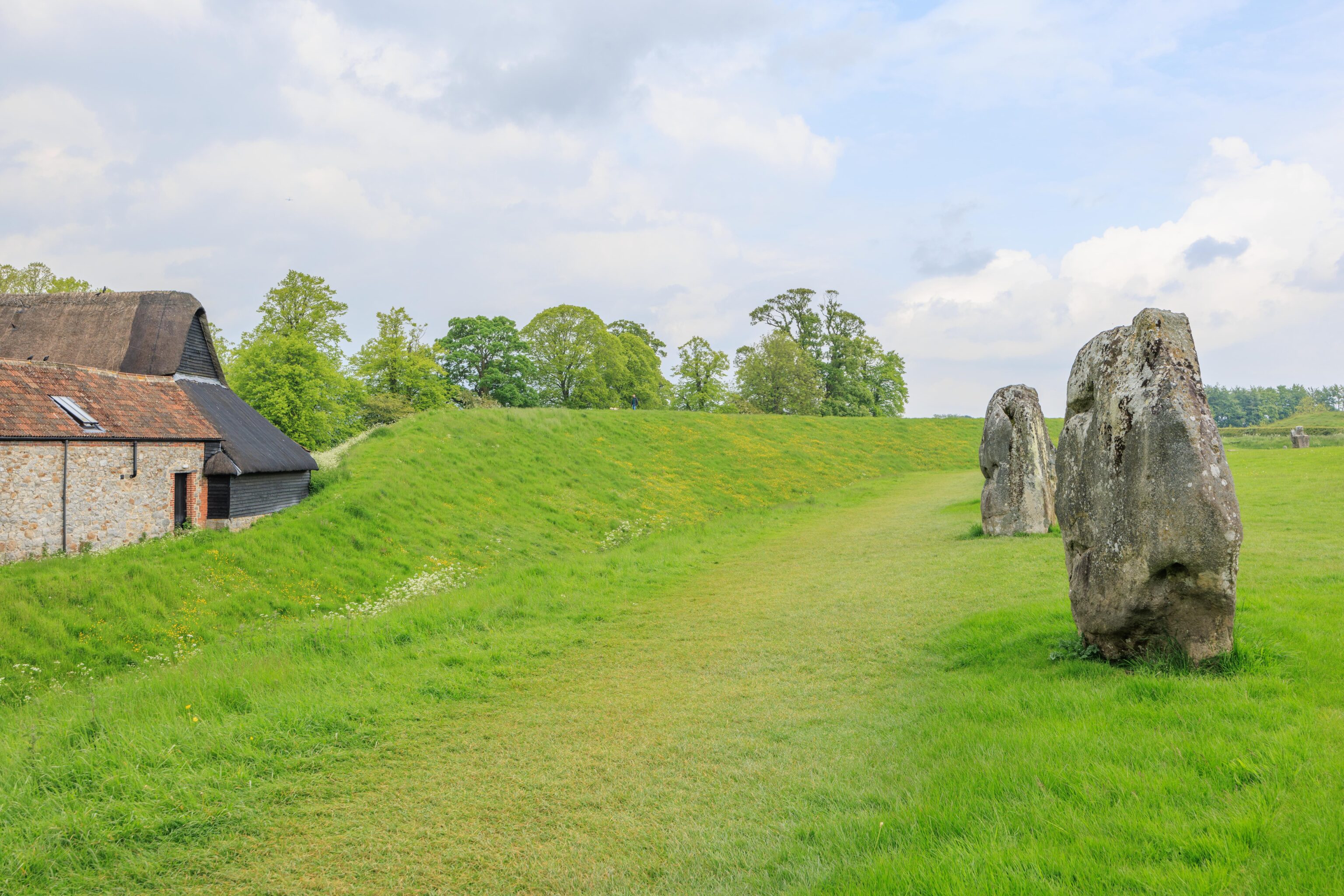
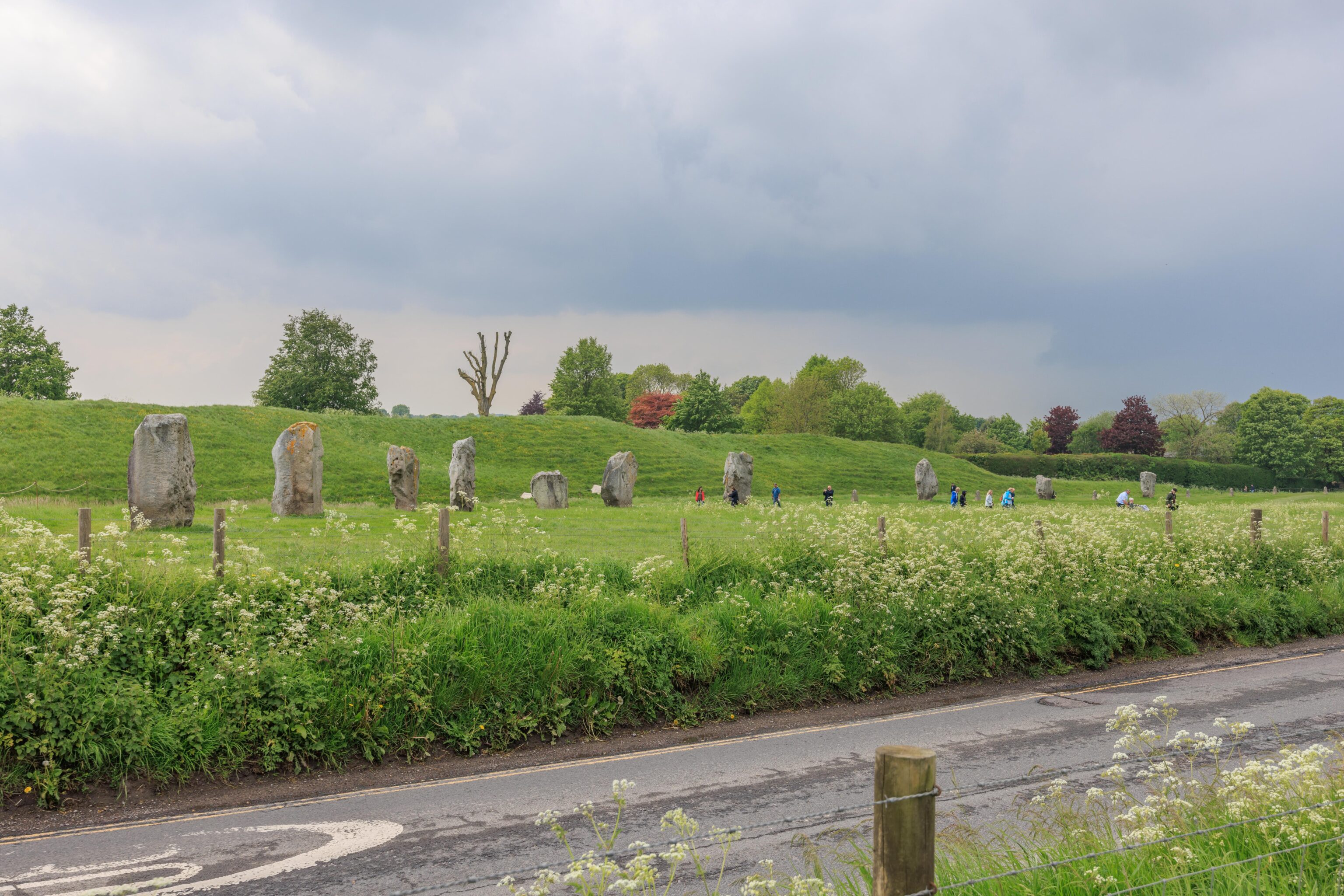
Our first view of the henge stones was from the short path leading from the parking lot to the village.
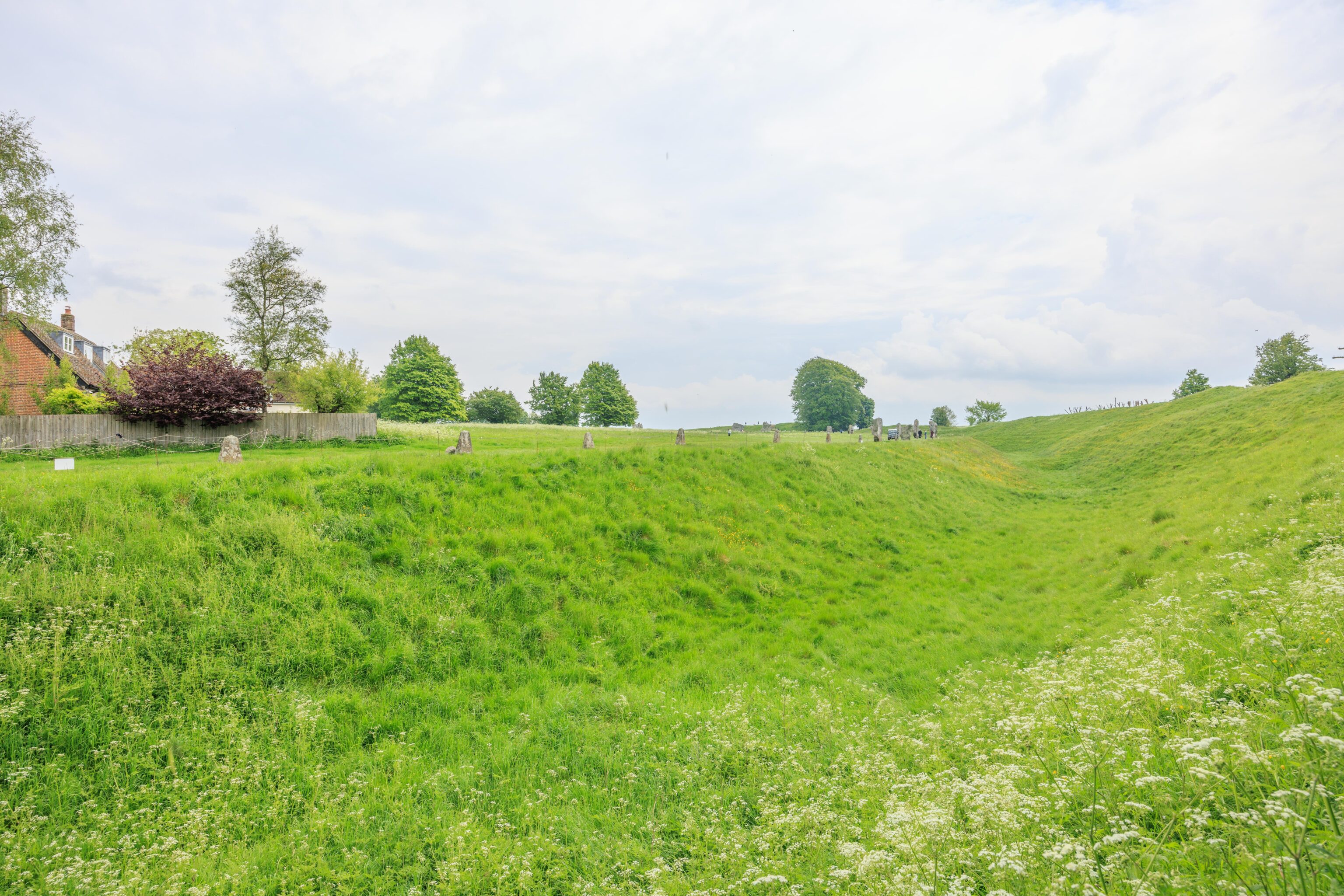
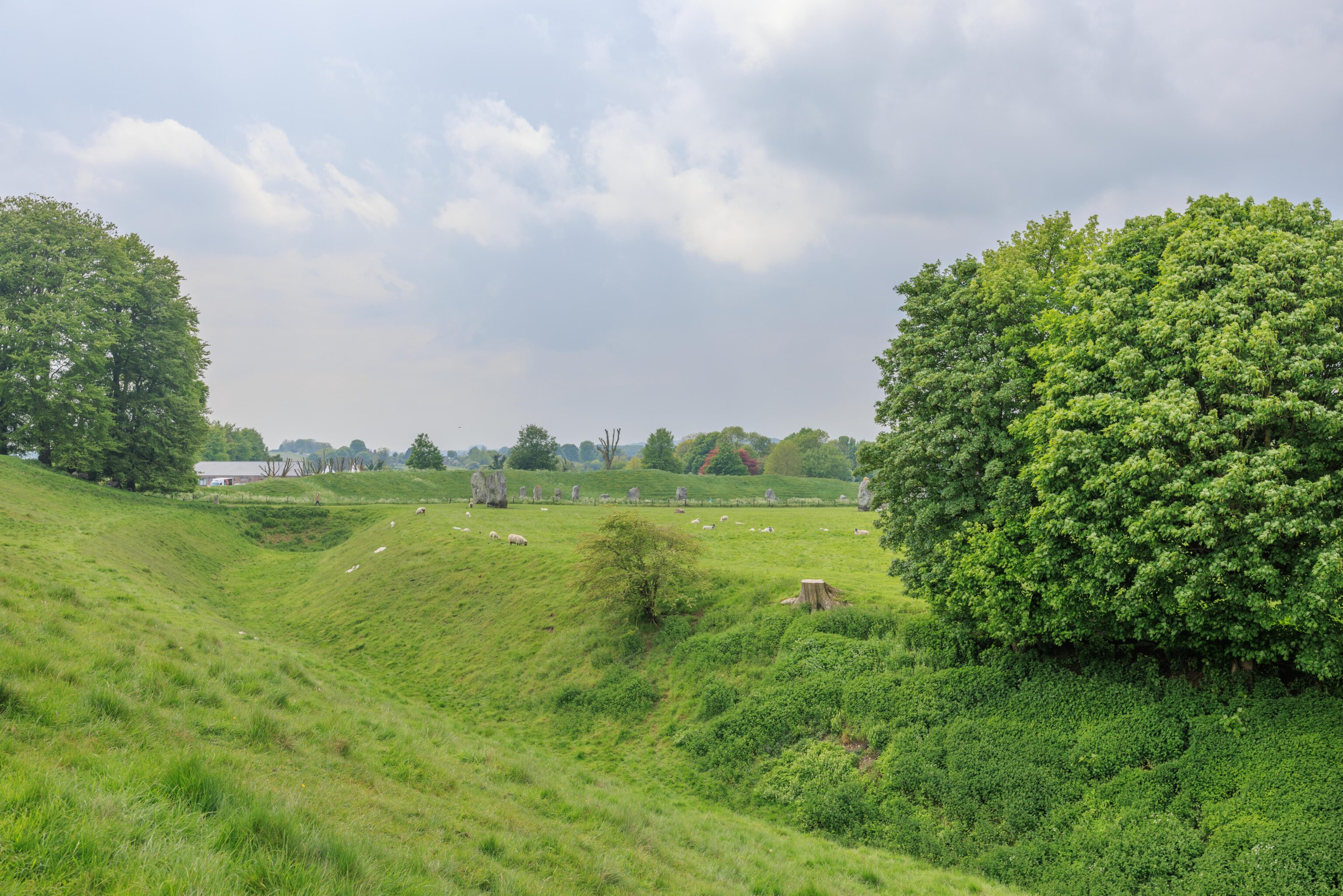
The ditch around the henge is pretty obvious here!
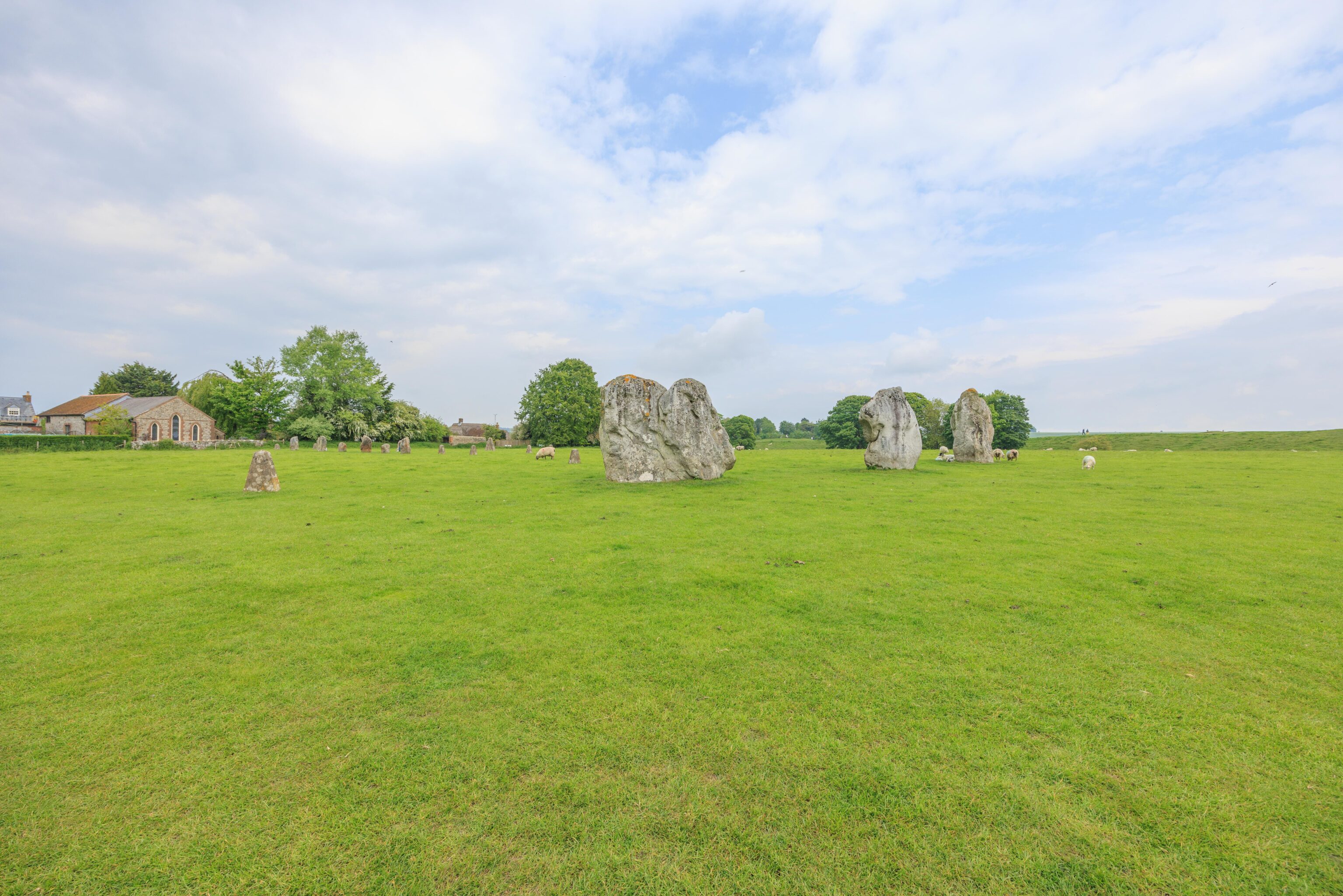
There is a museum and other historical buildings on the west side of the henge. We didn’t really have time to visit so we skipped them.
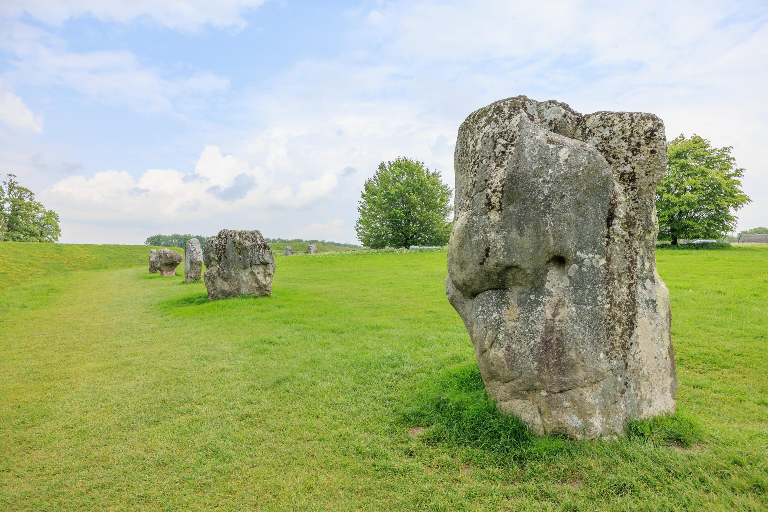
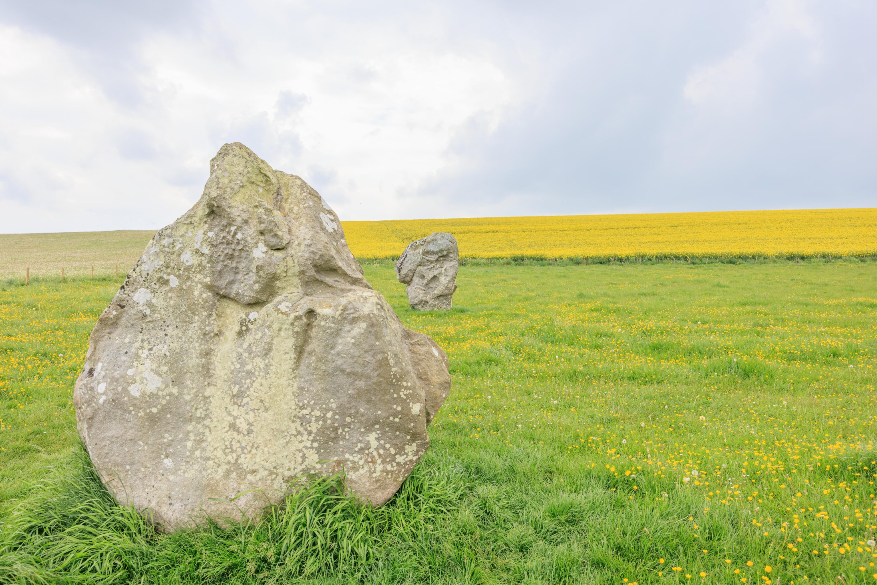
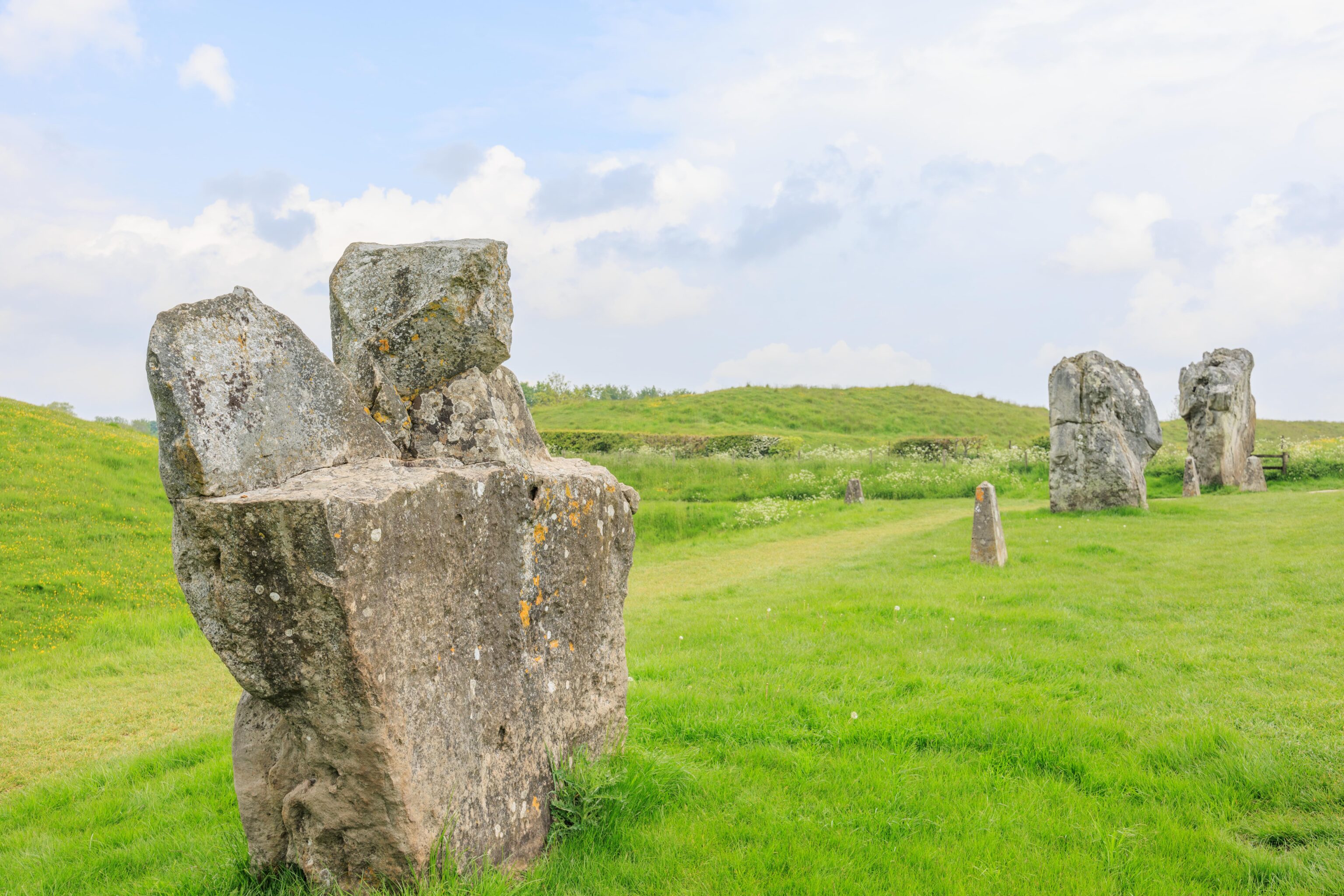
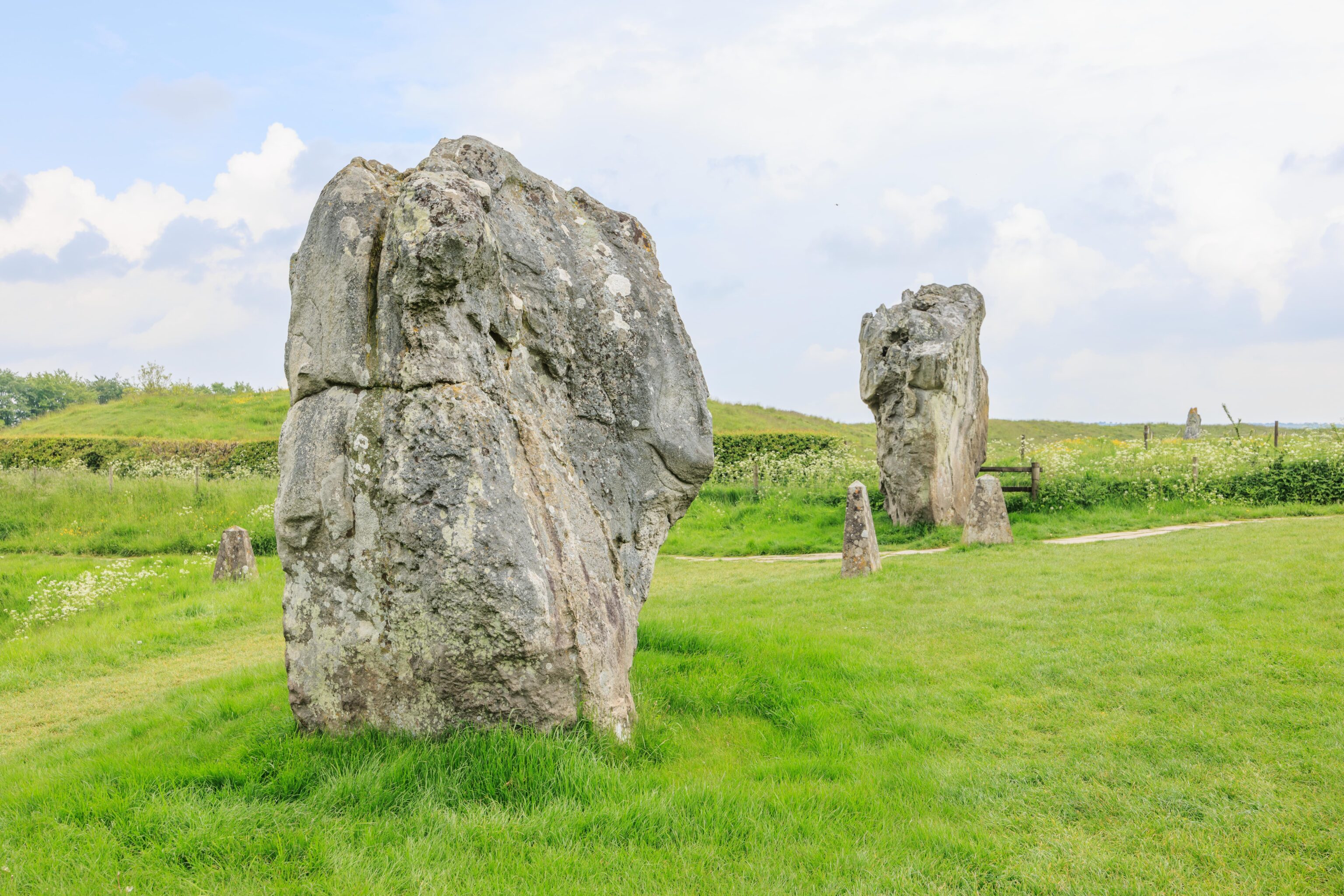
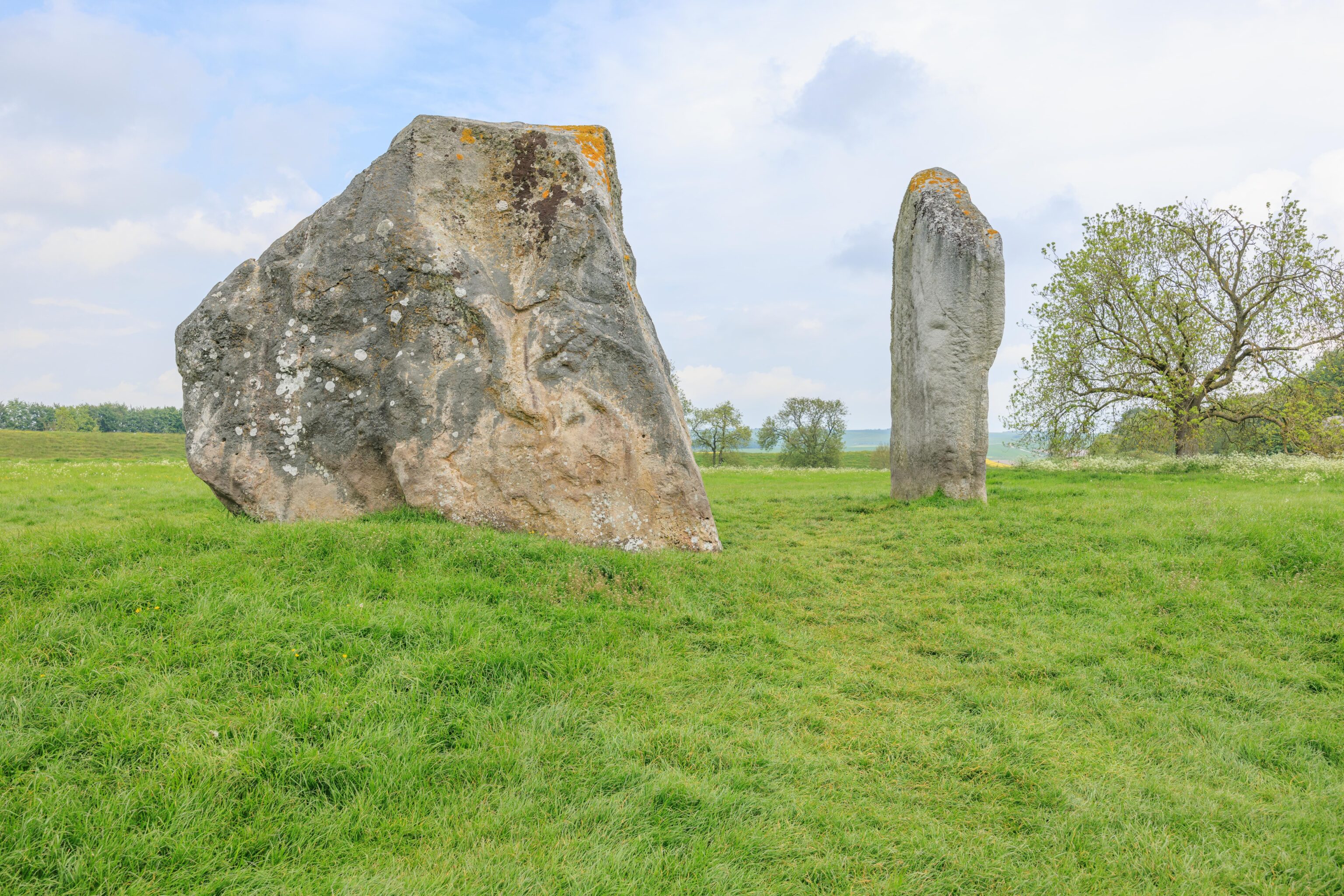
We started from the west side of the henge and walked clockwise. It wasn’t too busy but we always saw people, though at times I was able to hide them in photos behind the stones.
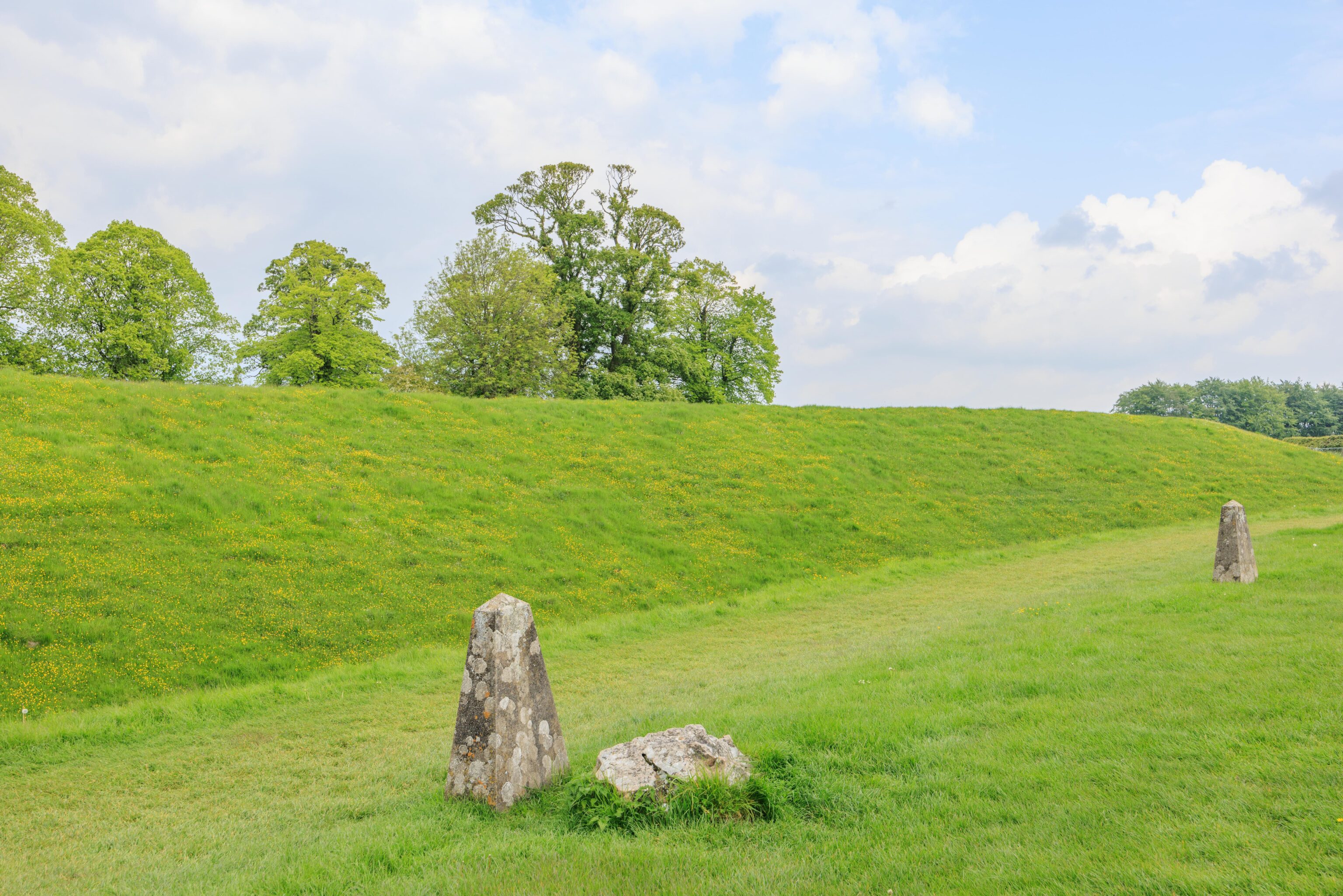
There are markers where stones are missing. Not sure why there is a small stone and a marker here. Were there two stones here? Is the small stone unrelated to the original stone that is missing?
We continued walking to the northern edge of the henge.
A modern day road bisects the henge. The final stone on the west side of the road is named the Swindon Stone. Swindon is a town to the north. We’re not sure why this stone is named.
Due to the road and the way the walking path is structured, we headed south back towards the village for a short distance before being able to cross the road and continue to the east. We didn’t go all the way back north but continued walking east until reaching the eastern edge of the henge.
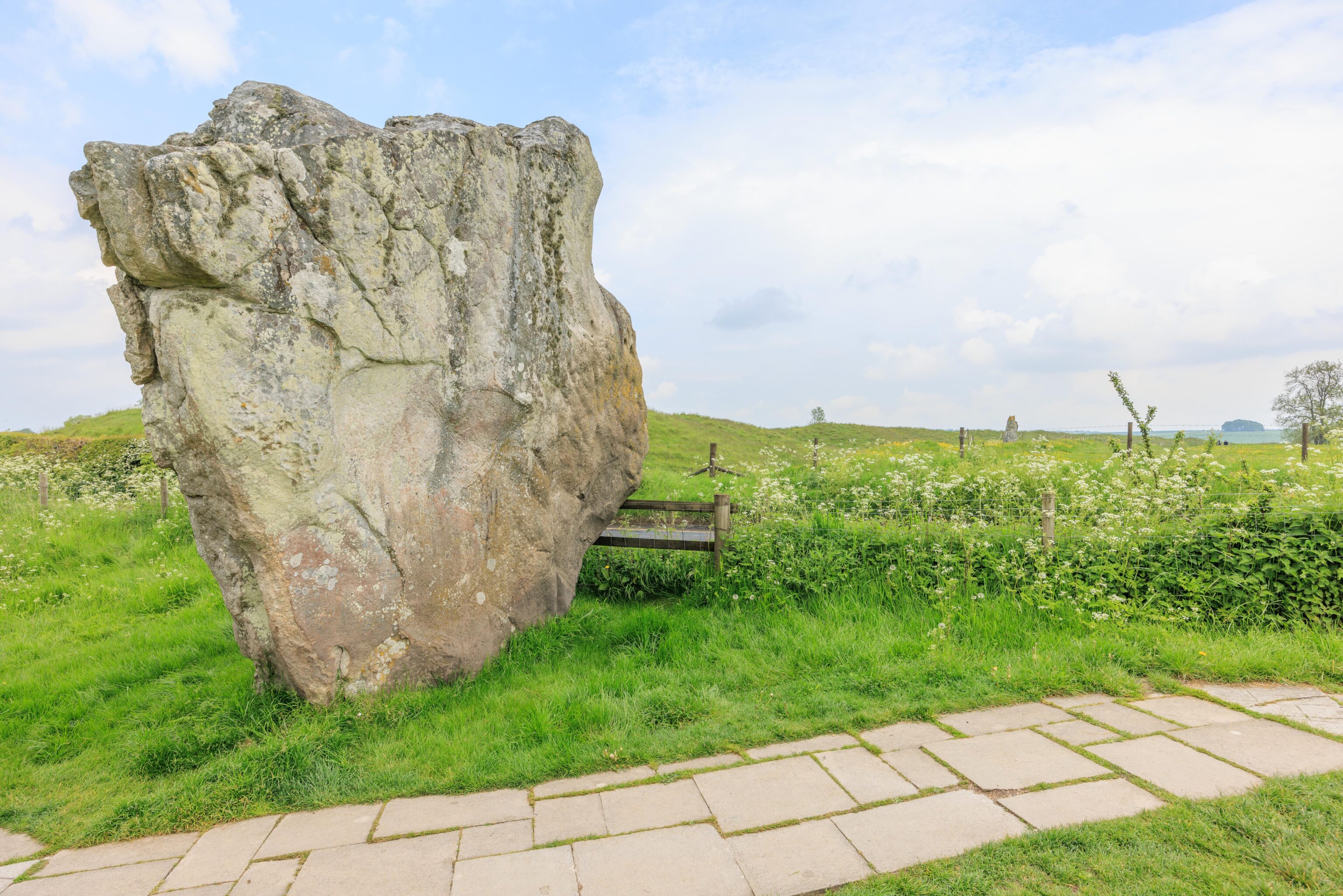
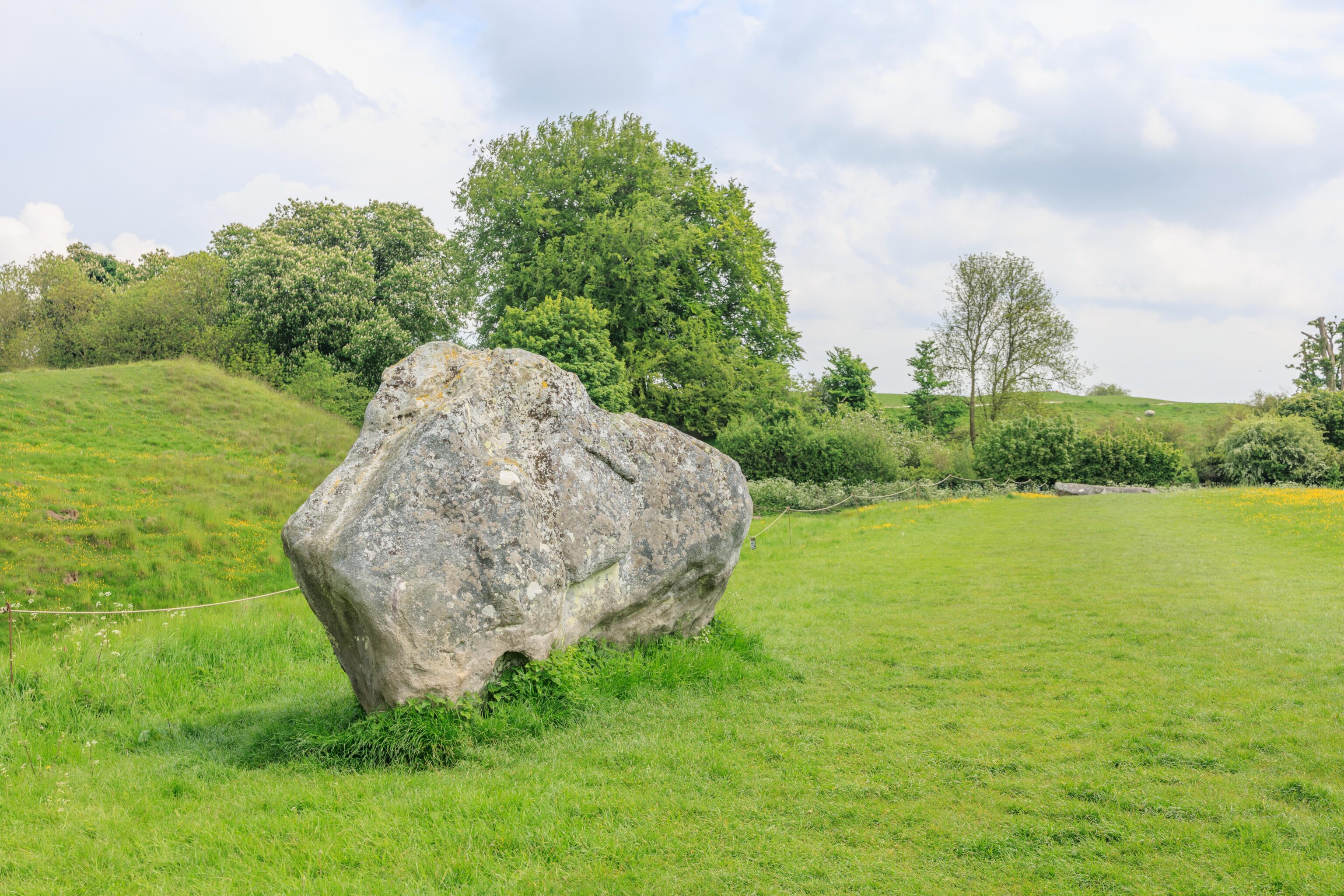
This stone seems to be on its side. Did it fall? Was there more to this stone? Or has it always been this way since it was placed here?
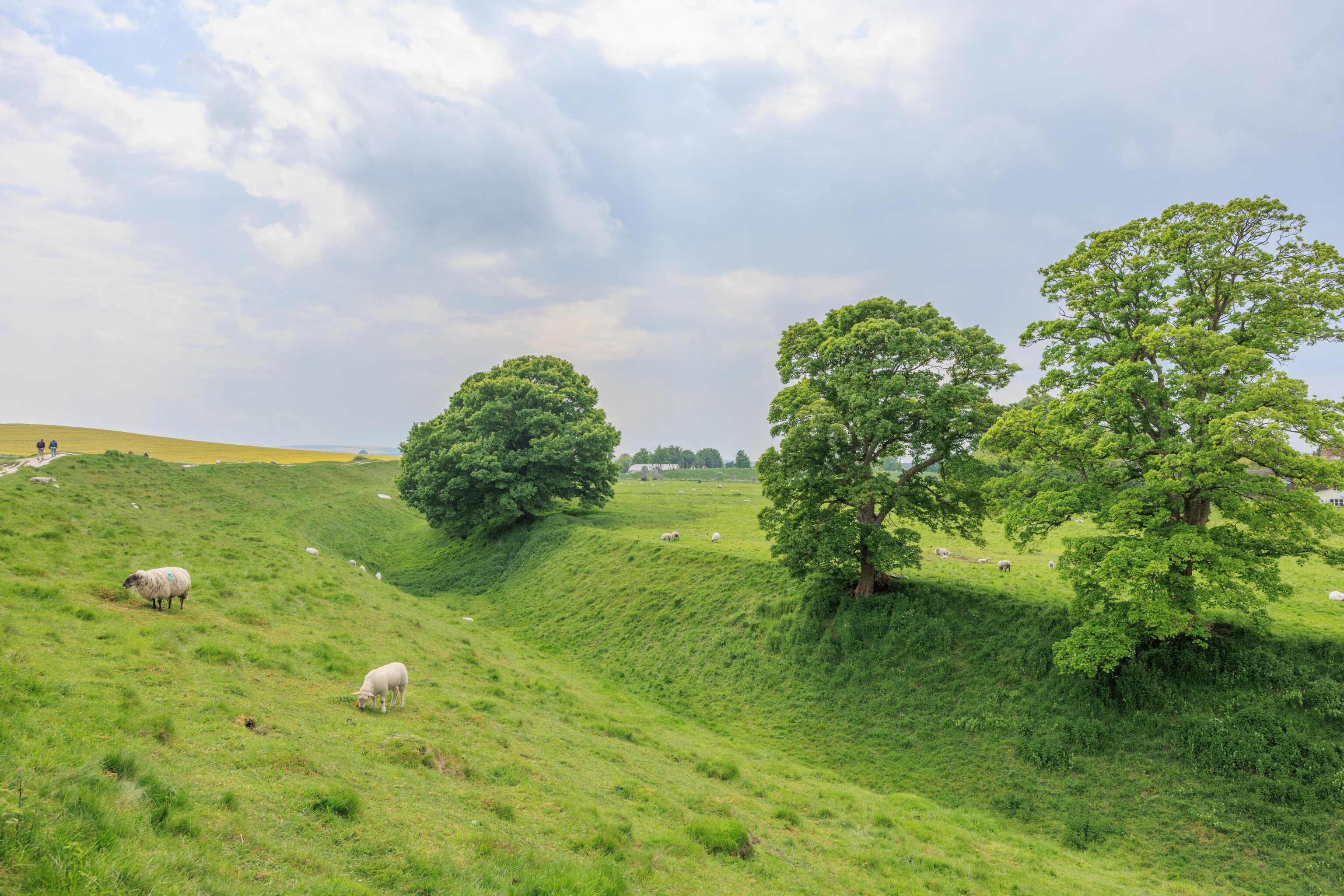
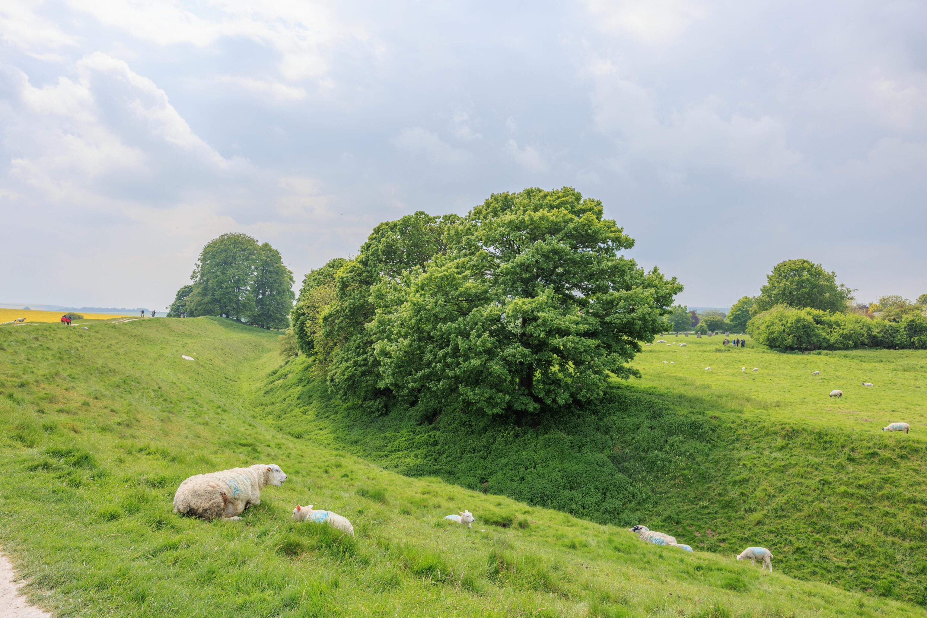
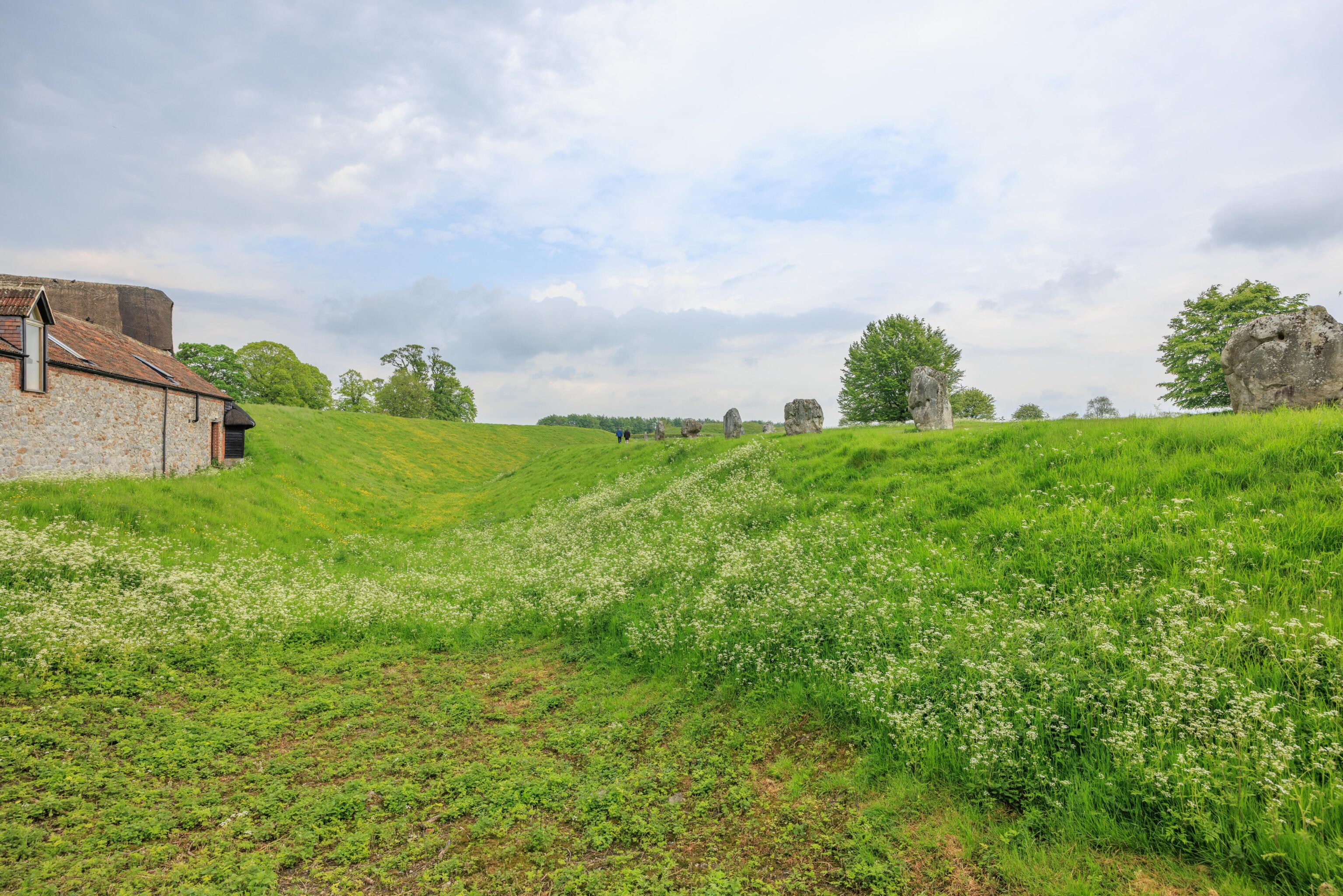
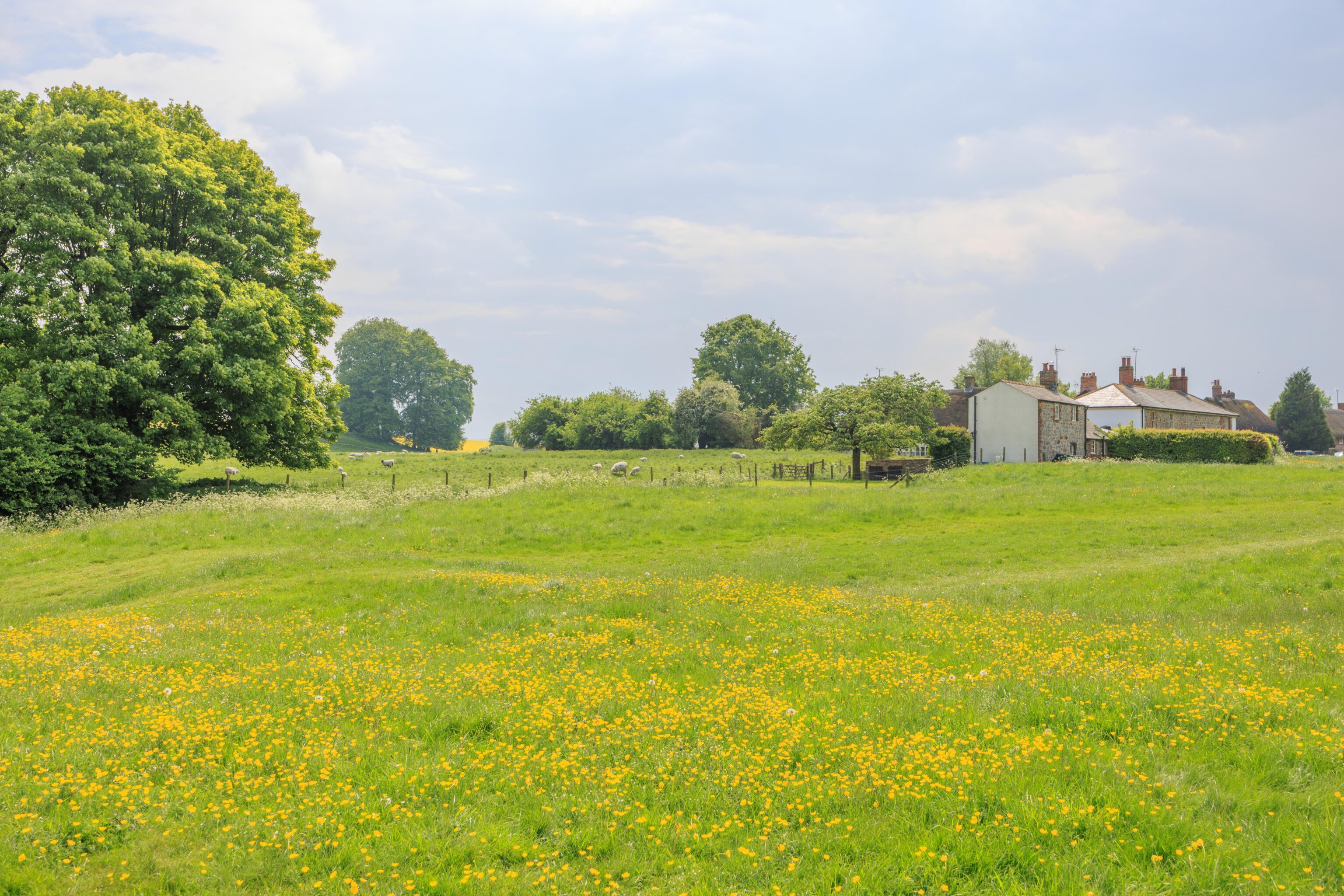
After crossing another road at the eastern edge of the henge, we started walking to the south atop the ridge on the outside of the ditch. There were sheep grazing in this section! They easily walked up and down the ditch.
The sheep were everywhere! They seemed perfectly acclimated to the presence of people.
Upon reaching the south end of the henge, we had to head north a bit to cross a road.
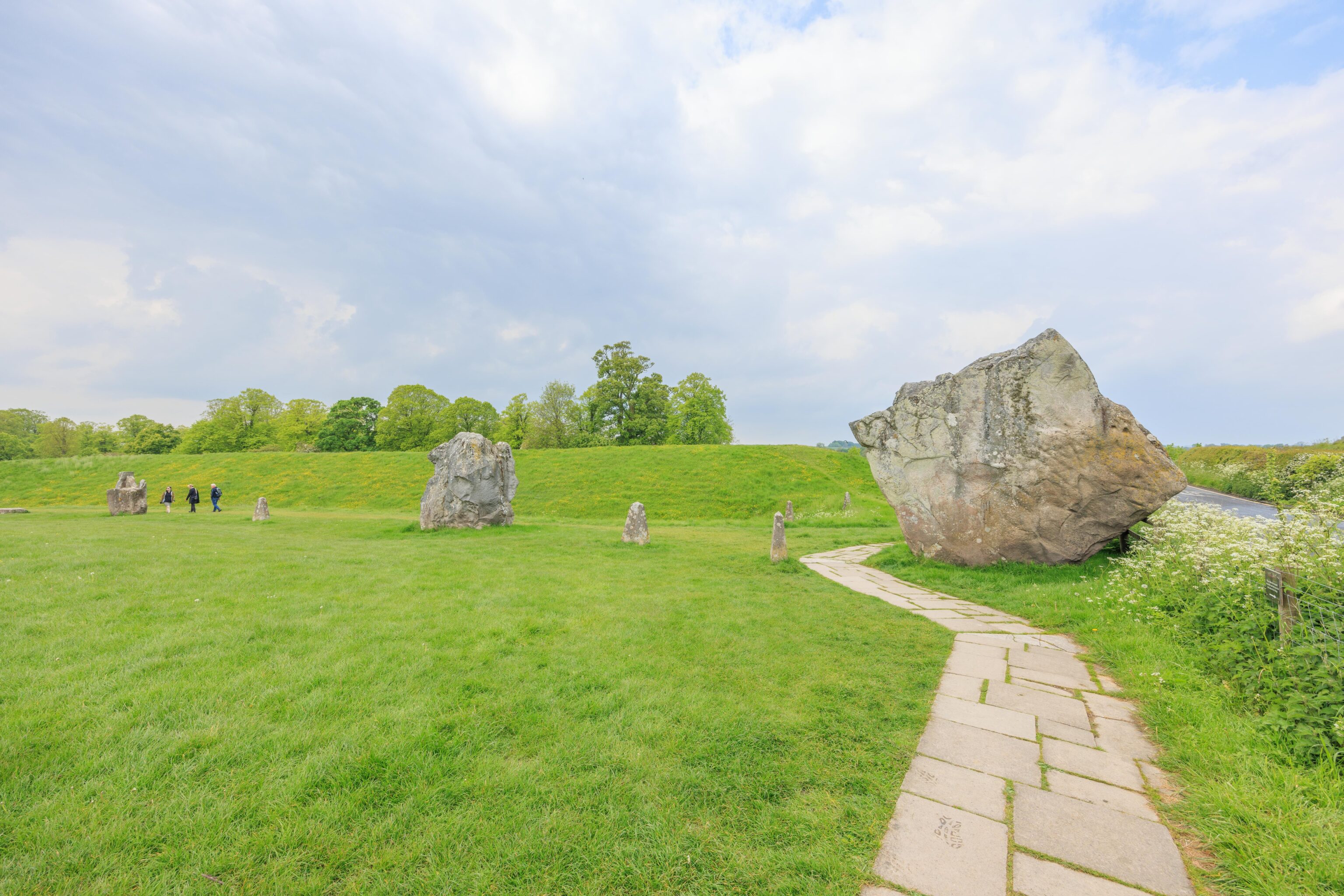
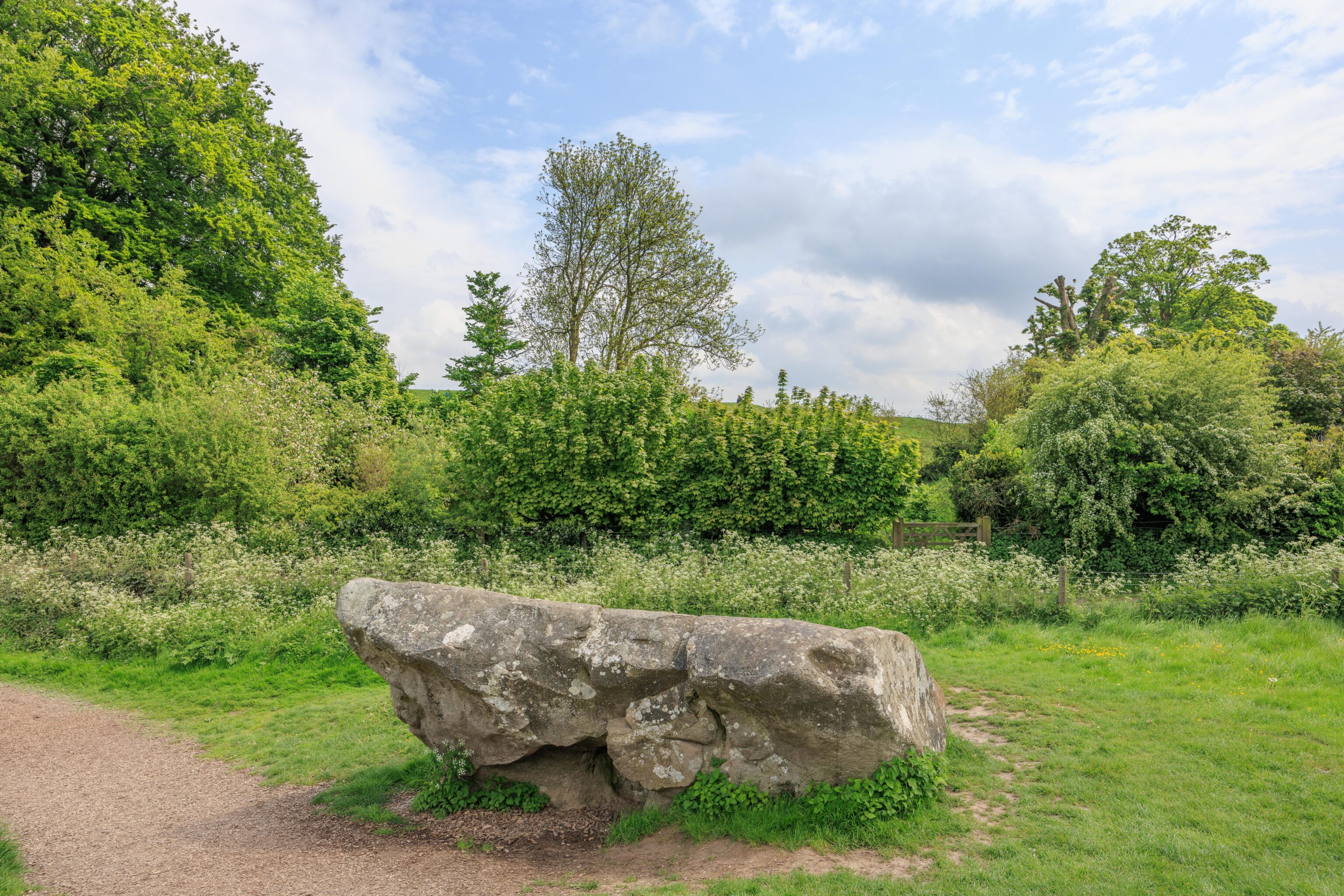
There was a nice row of stones on the final quadrant of the henge on the other side of the road. The sky seemed to be getting darker.
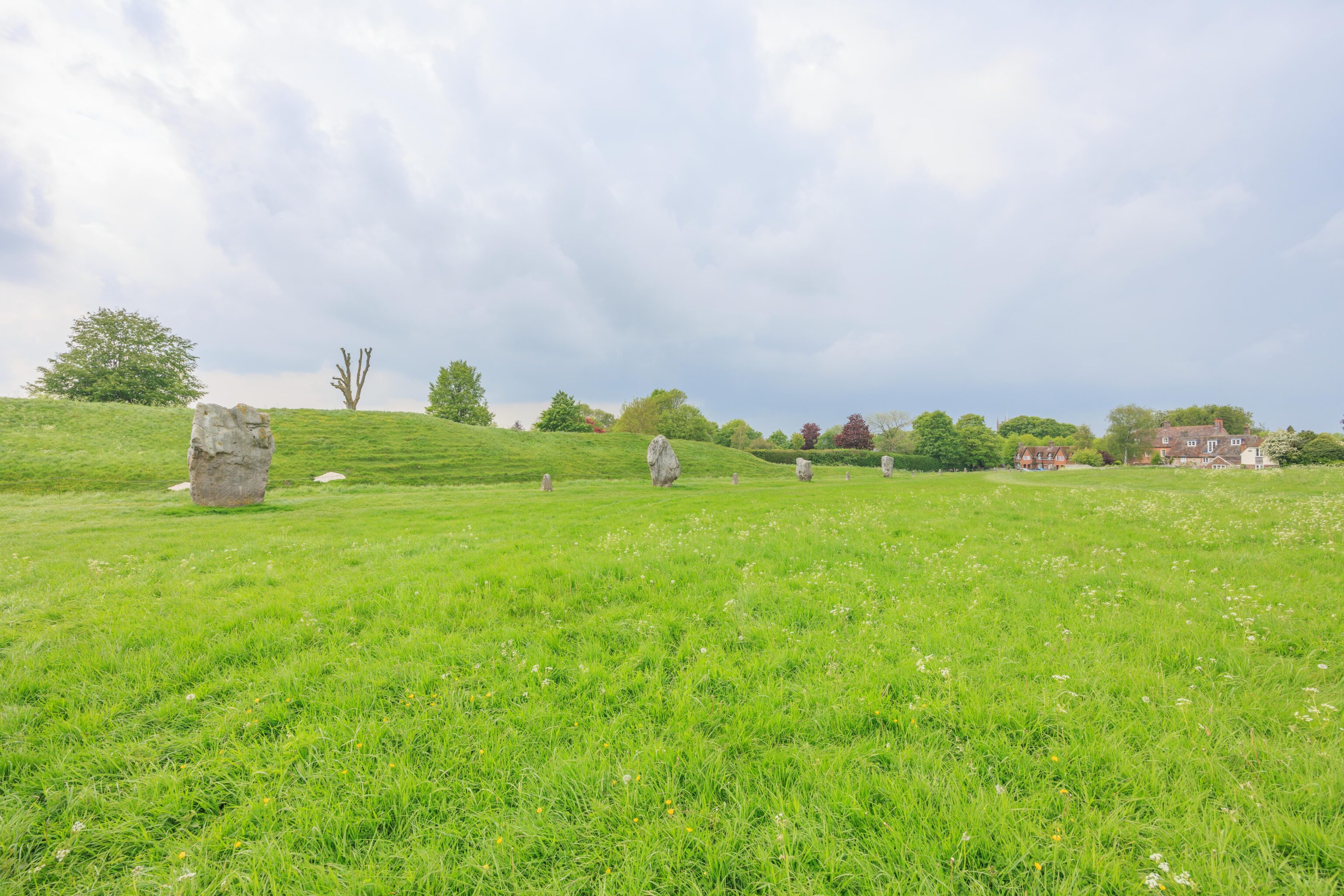
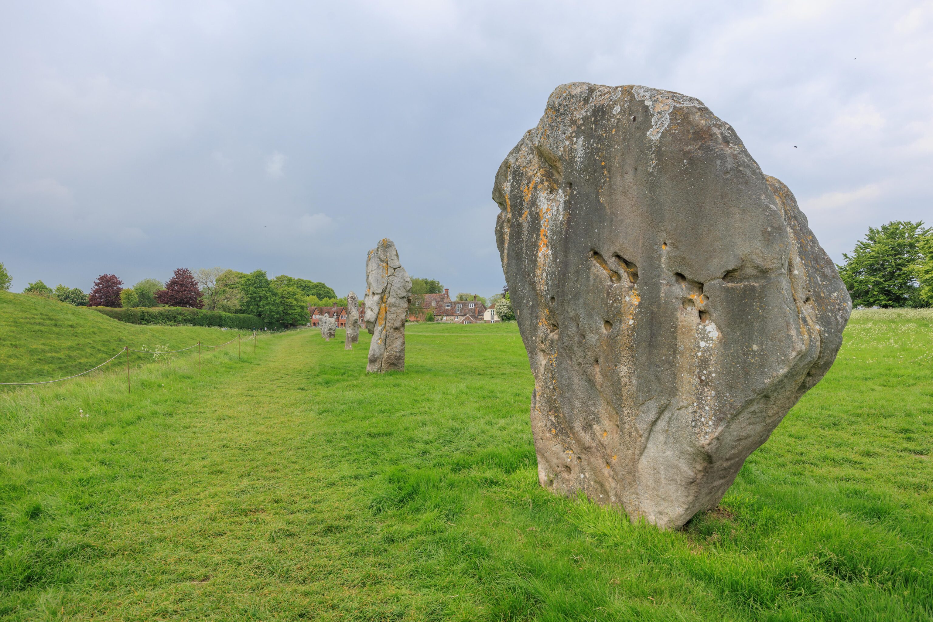
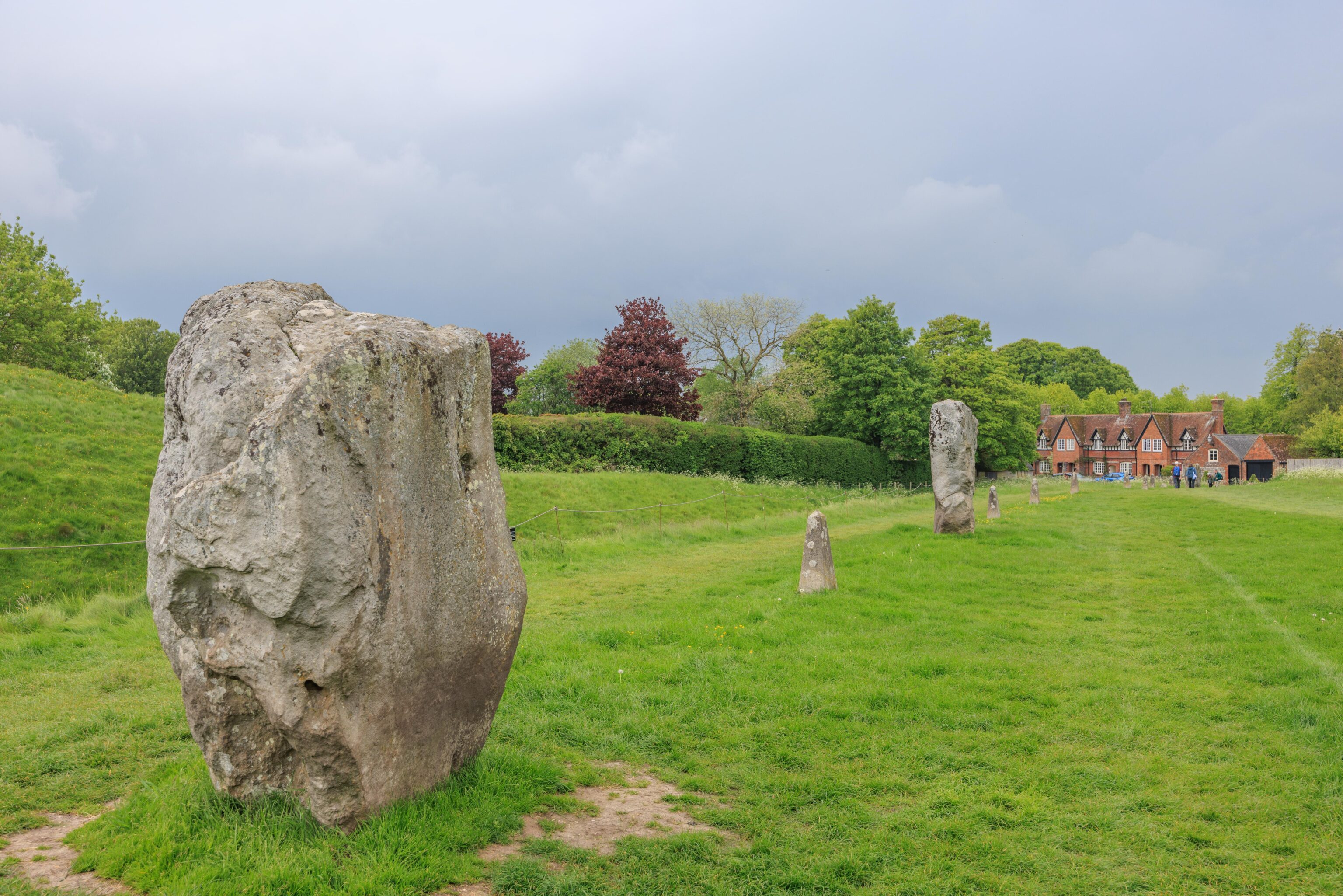
We walked along the western edge of the remainder of the henge before returning to the village. We briefly visited a shop but there was nothing too interesting being sold. We headed back to the parking lot and made it to the car just before it began to pour!
White Horse Hill
We drove through the rain, eventually reaching the White Horse Hill parking lot. Luckily, it stopped raining before we got there and the sky seemed to be brighter.
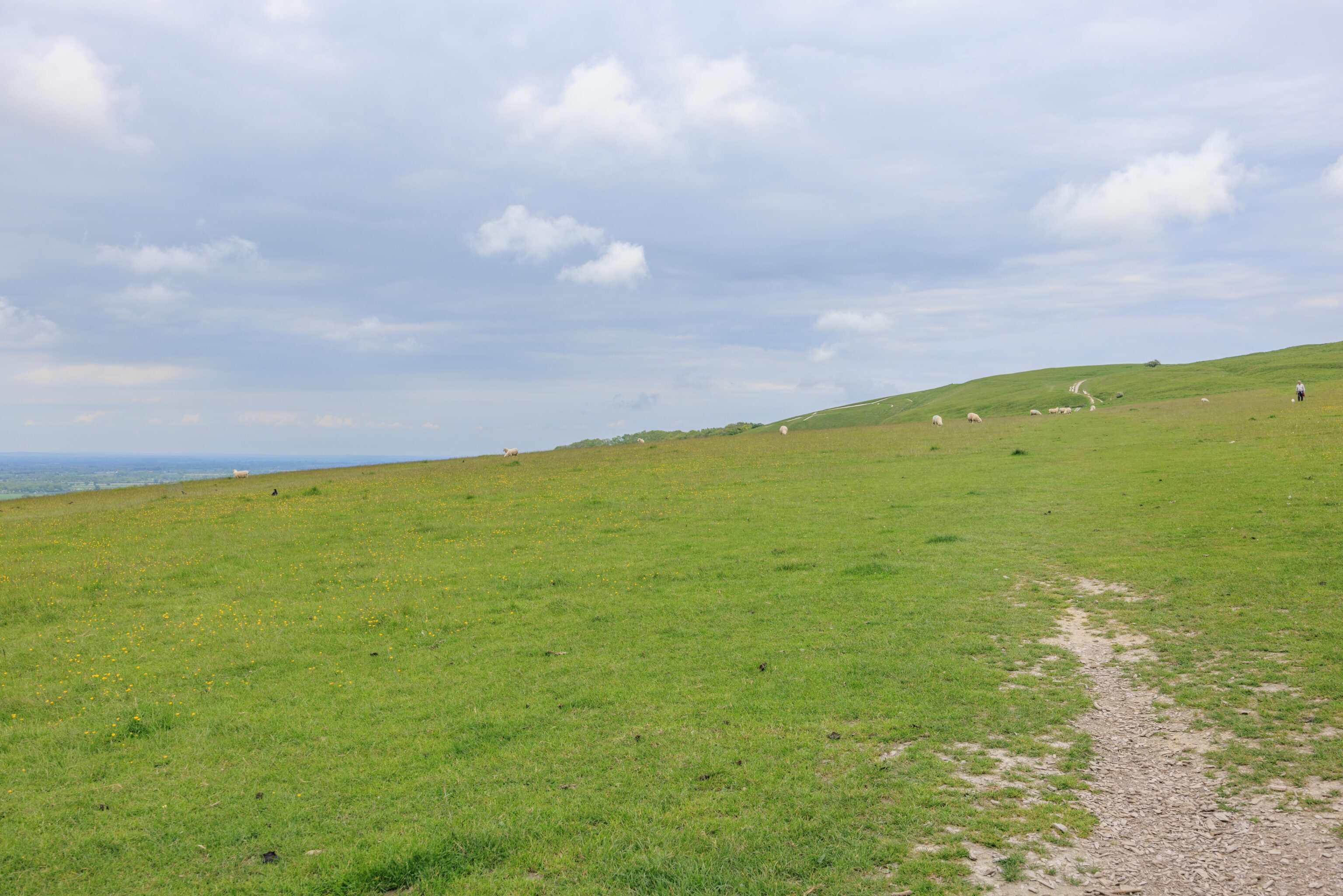
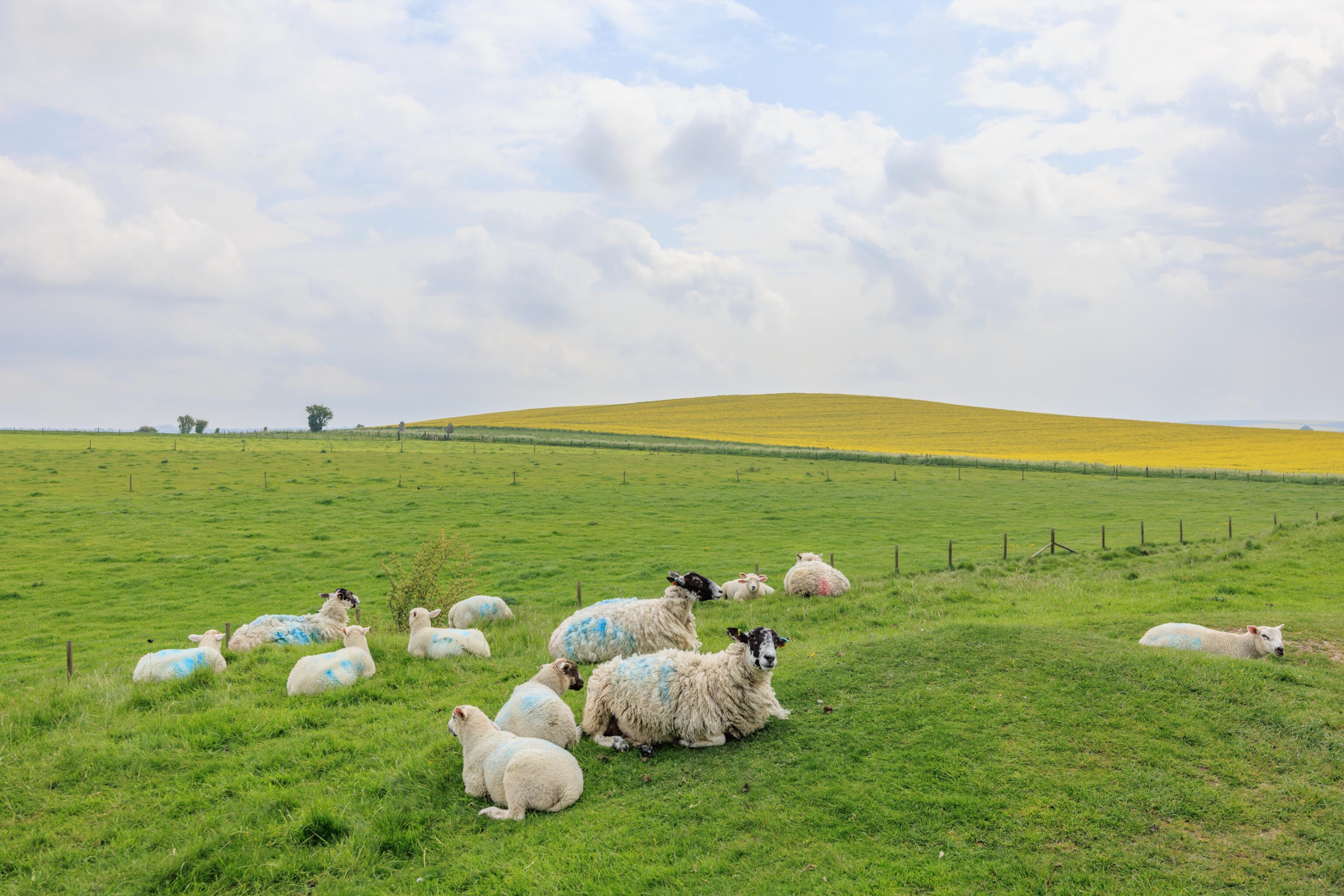
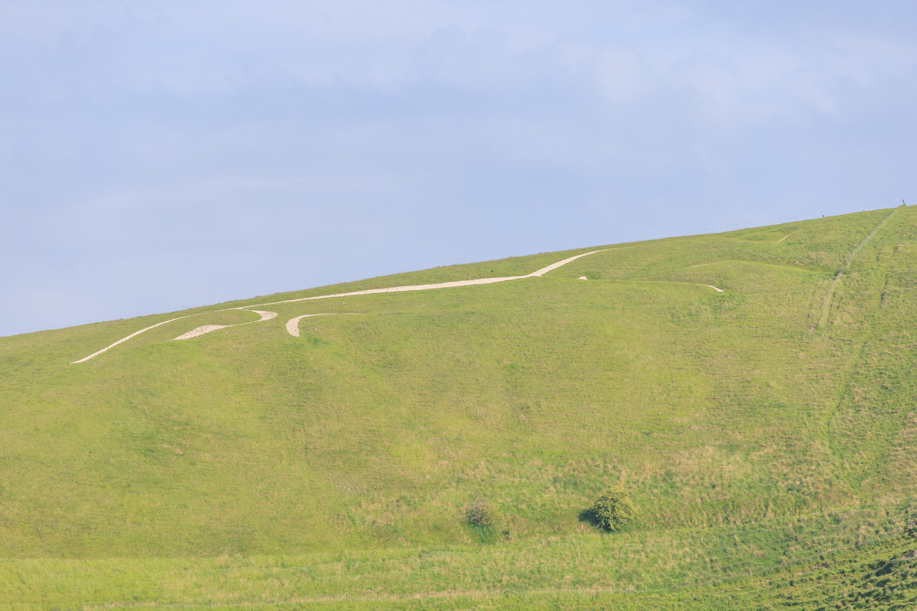
We headed out to hike towards White Horse Hill. Most of the path is a straight line through a field filled with grazing sheep. And sheep poop. The white horse that gives this location can be seen in the distance. Due to the angle of the ground, it can be hard to see.
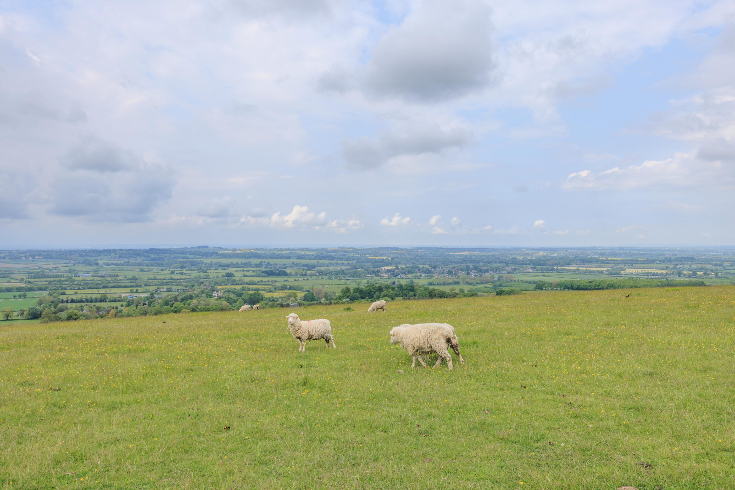
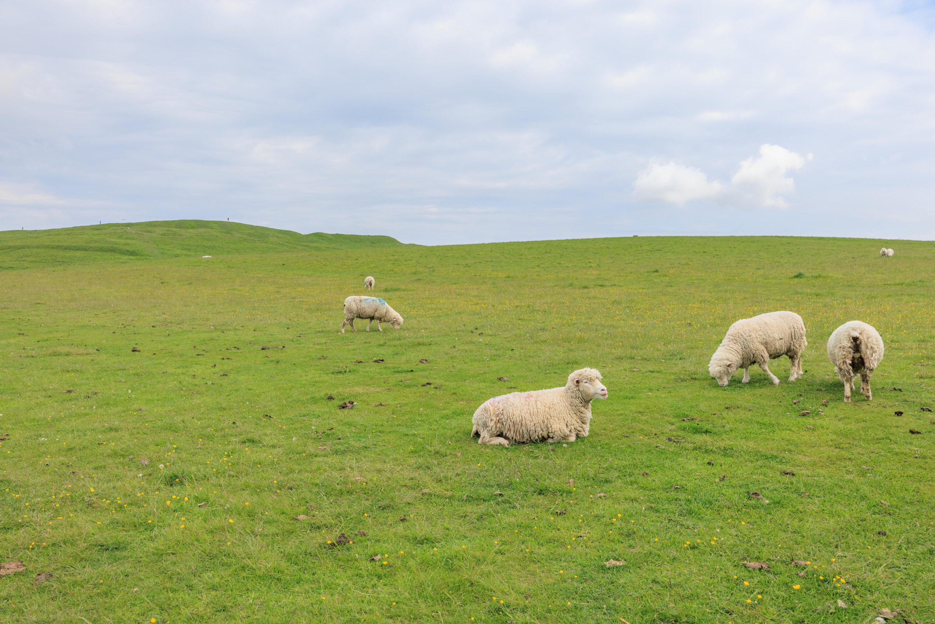
These sheep seemed to be used to the presence of people, though perhaps not as much as the ones at Avebury.
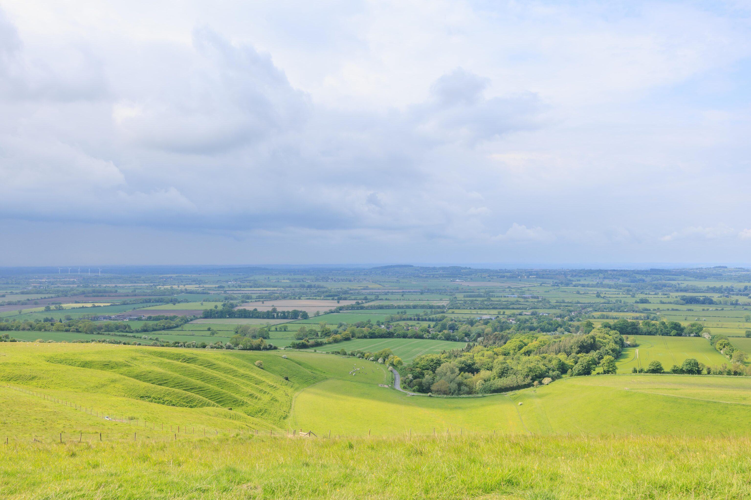
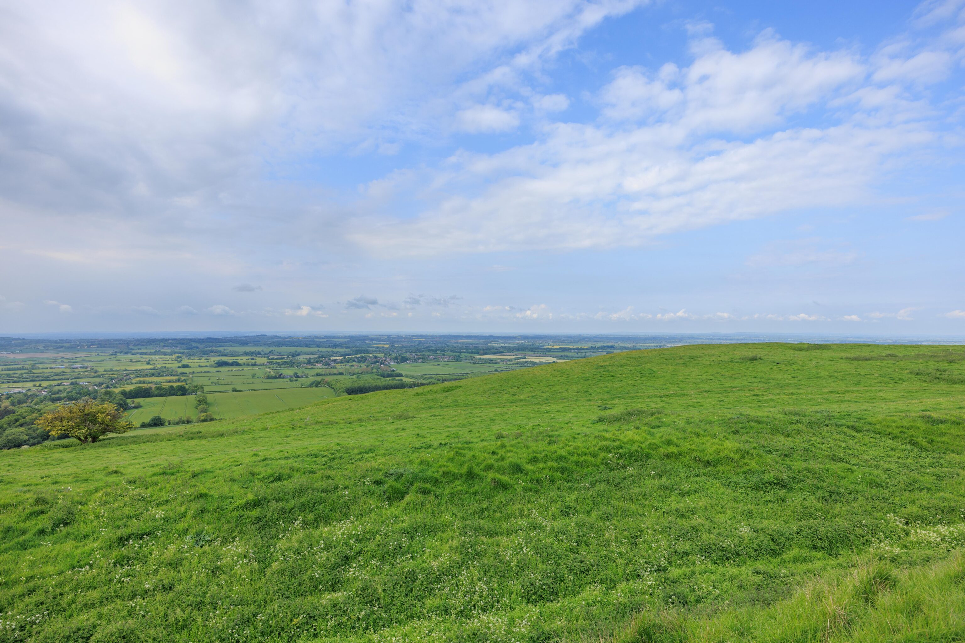
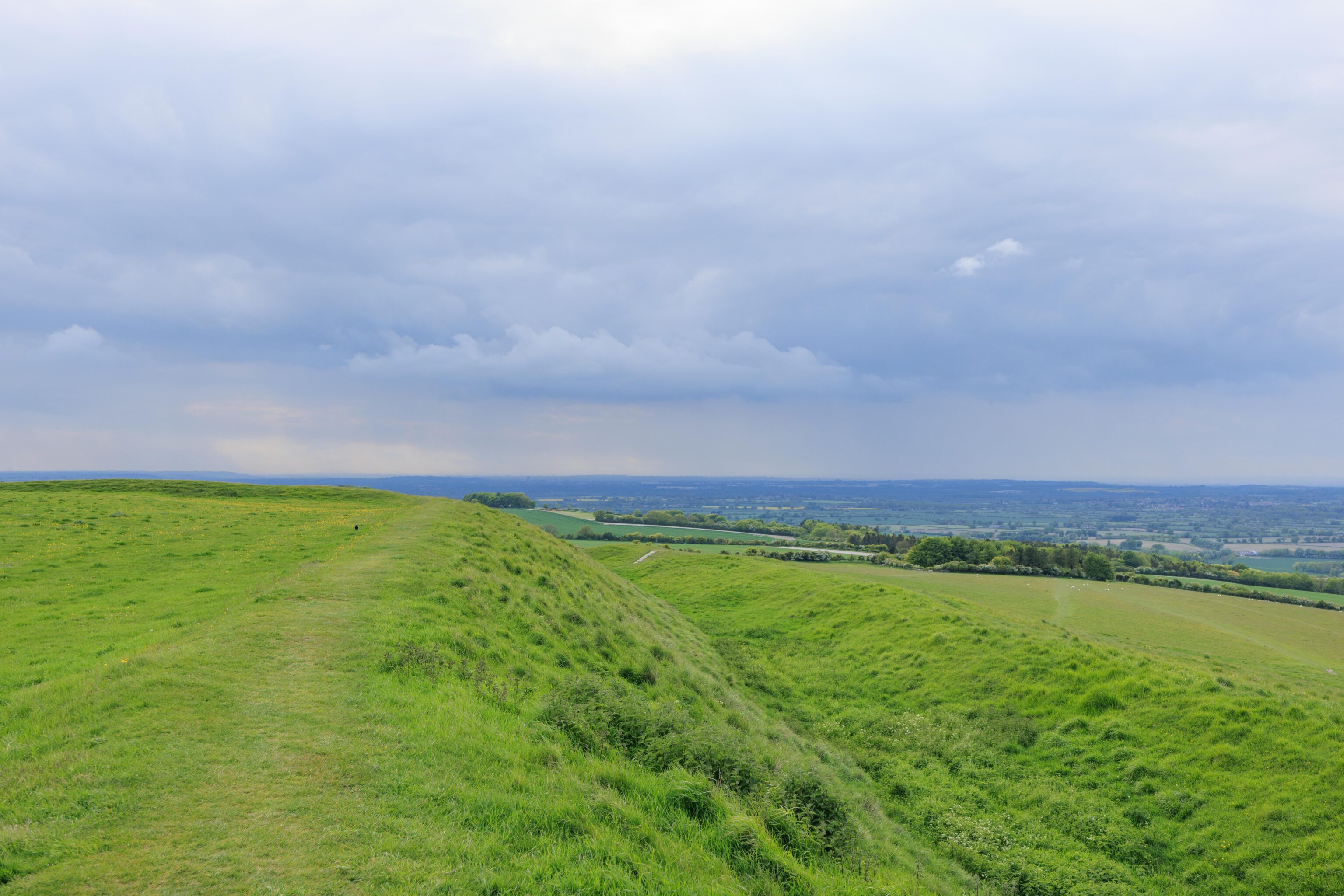
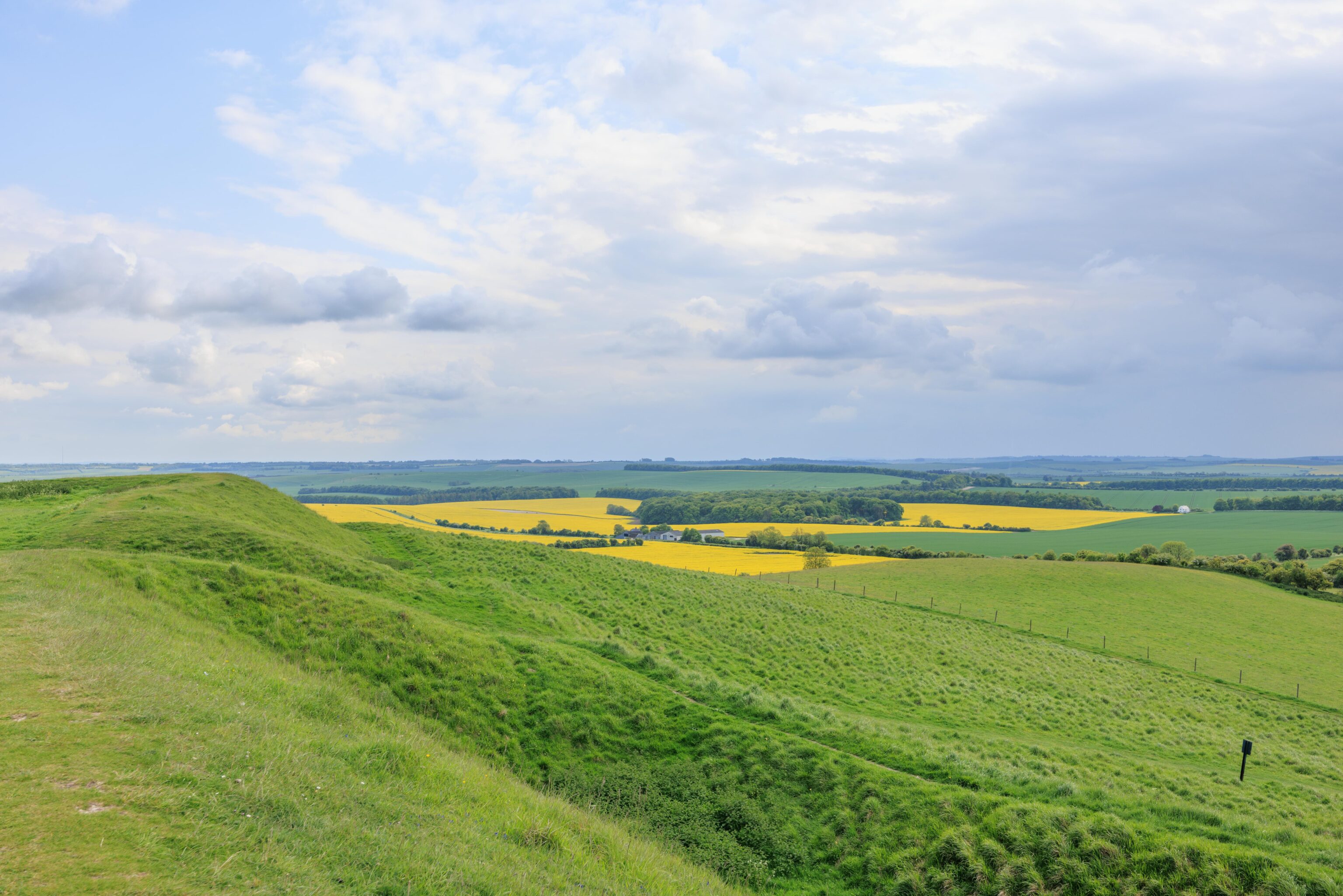
The path slowly ascended towards the white horse. We had a great view of the flat countryside around us. Luckily, the rain clouds in the distance did not seem to be getting any closer.
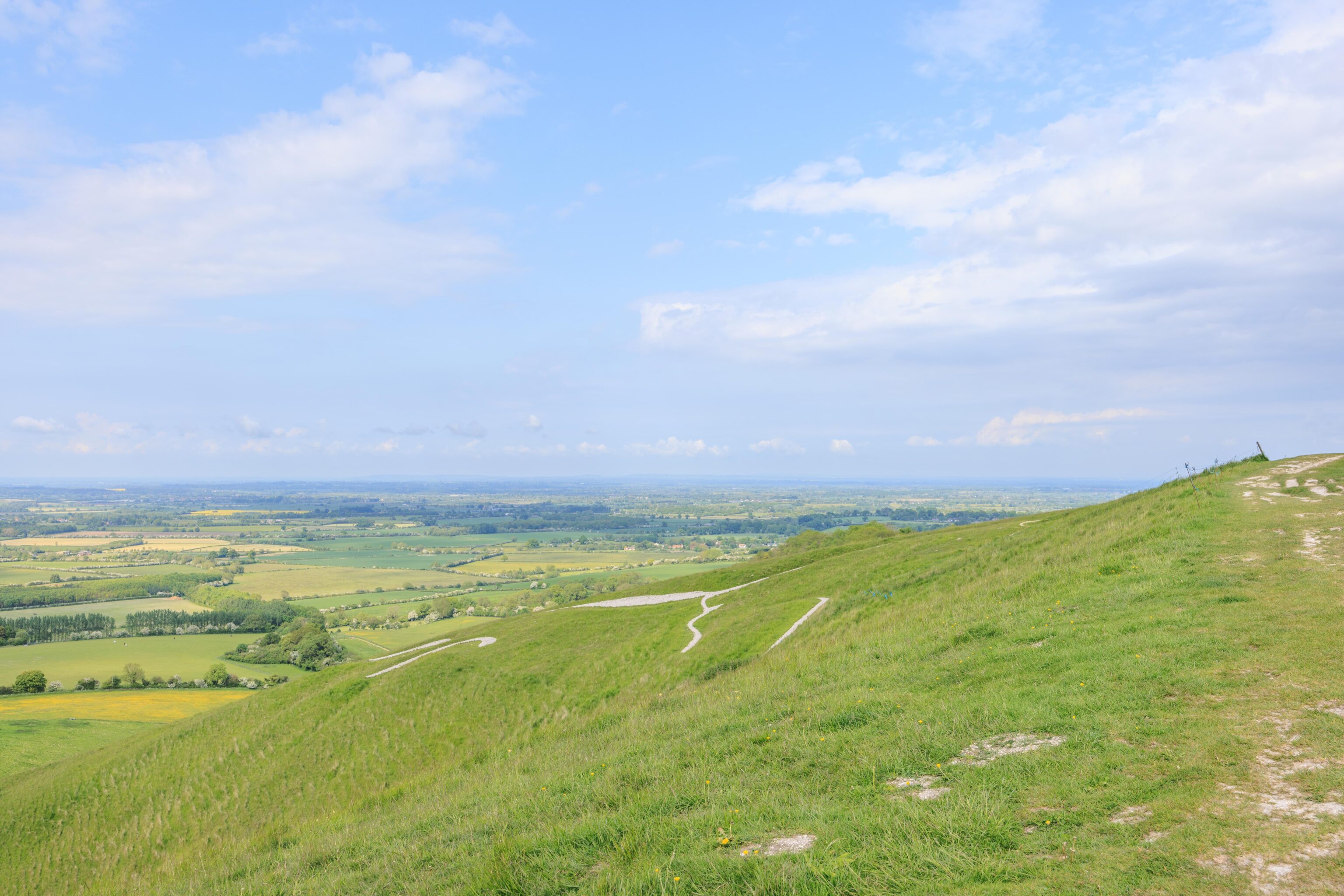
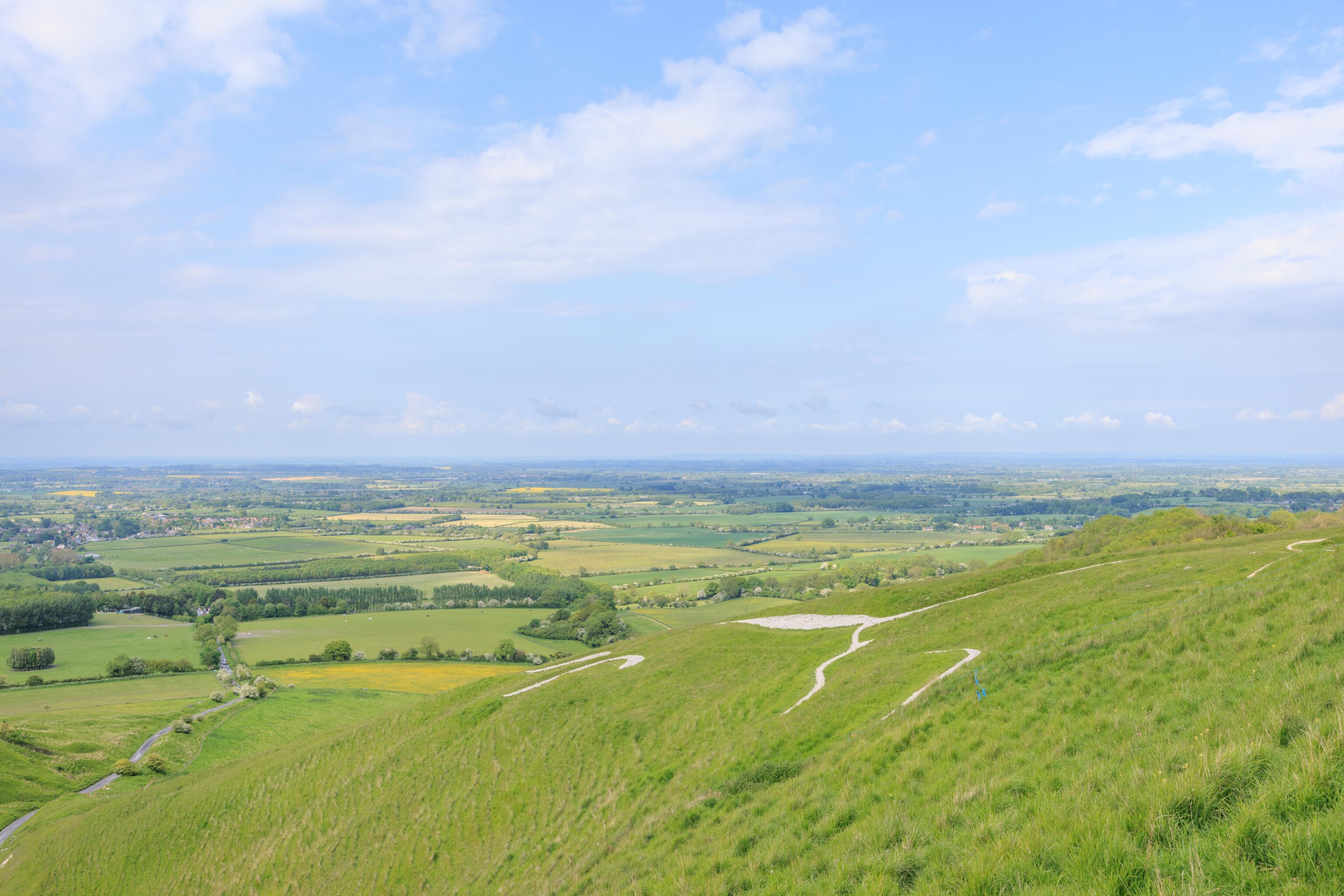
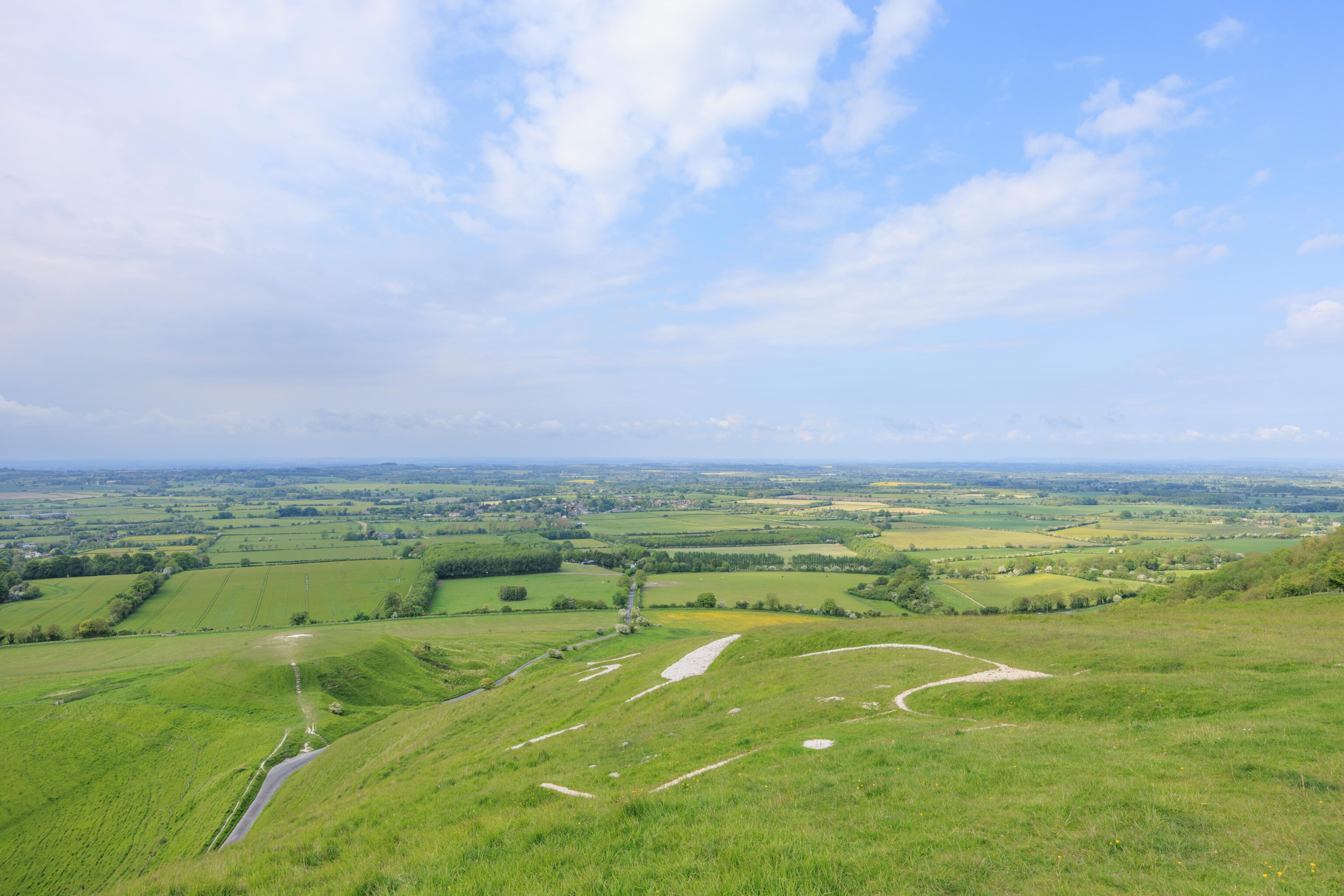
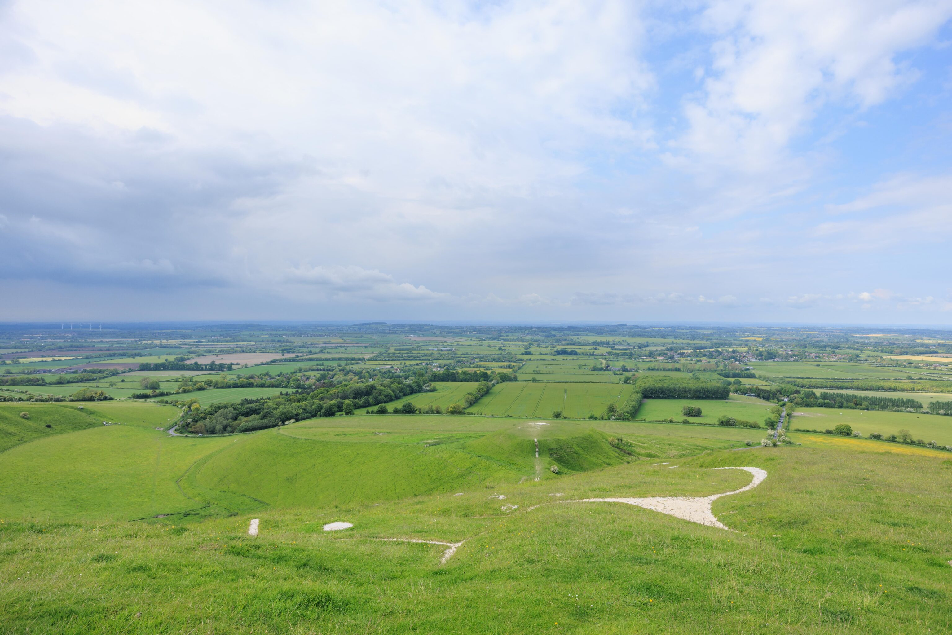
We eventually reached the white horse! It can be seen from the trail, though from above. The horse is carved into the ground and filled with chalk. It has been around for at least more than 2,000 years, possibly 3,000 or more!
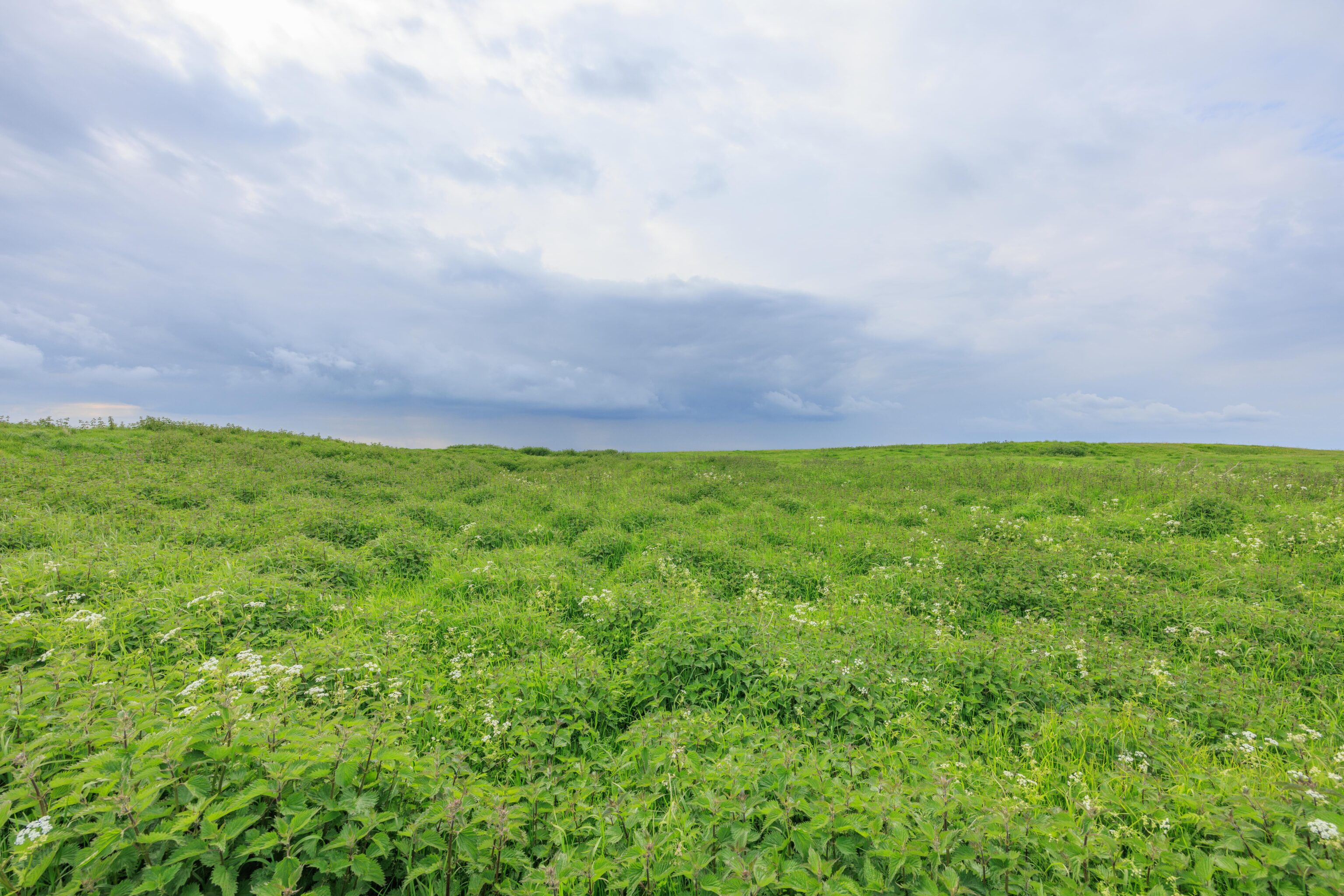
We continued on the trail, heading further up the hill. While most of the path is grass, this one section went through some low dense foliage.
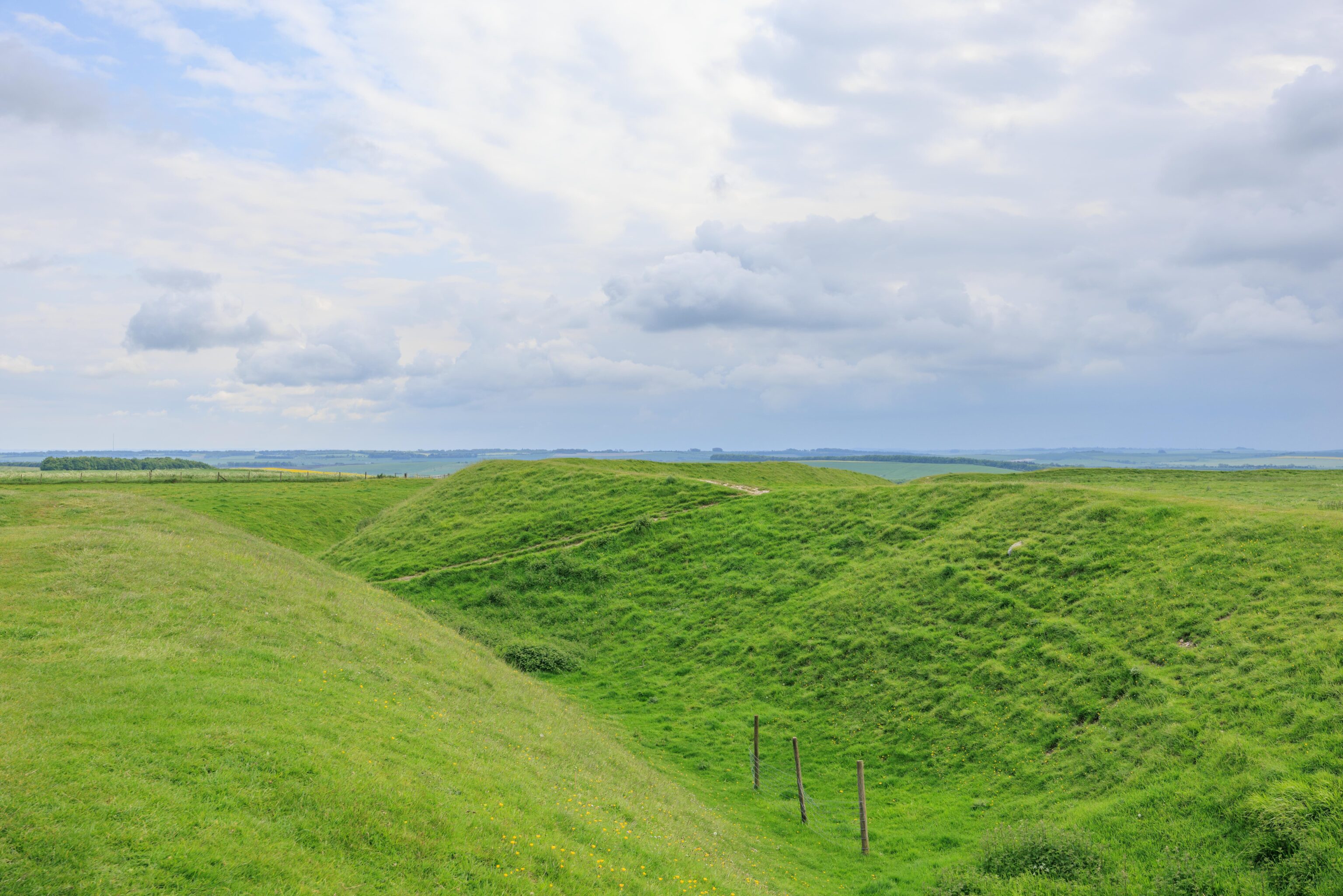
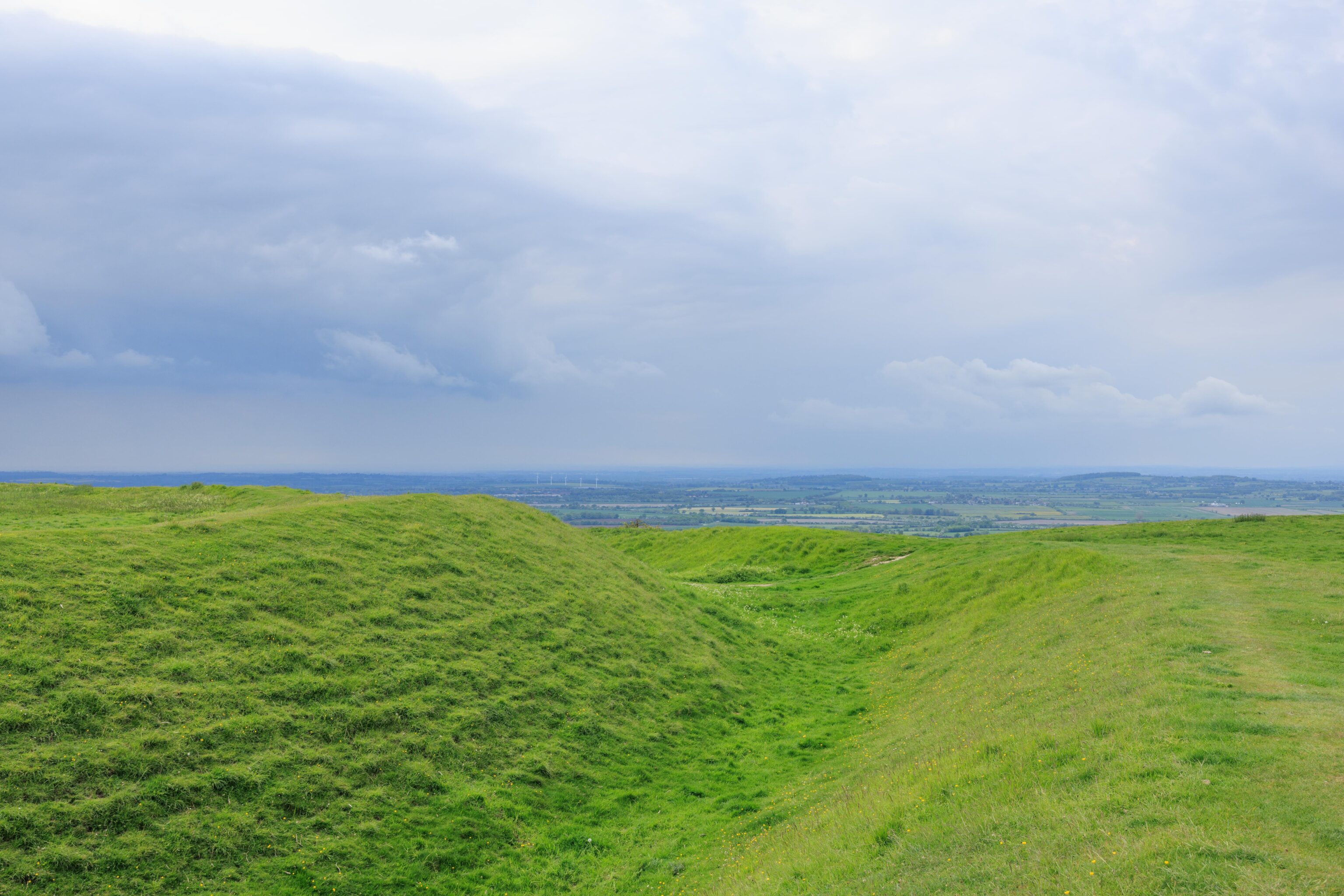
There was an iron age hill fort at the top of the hill. It is currently named Uffington Castle. The only visible remains is a roughly circular ditch around the hilltop along with an earthen wall on the inner side of the ditch.
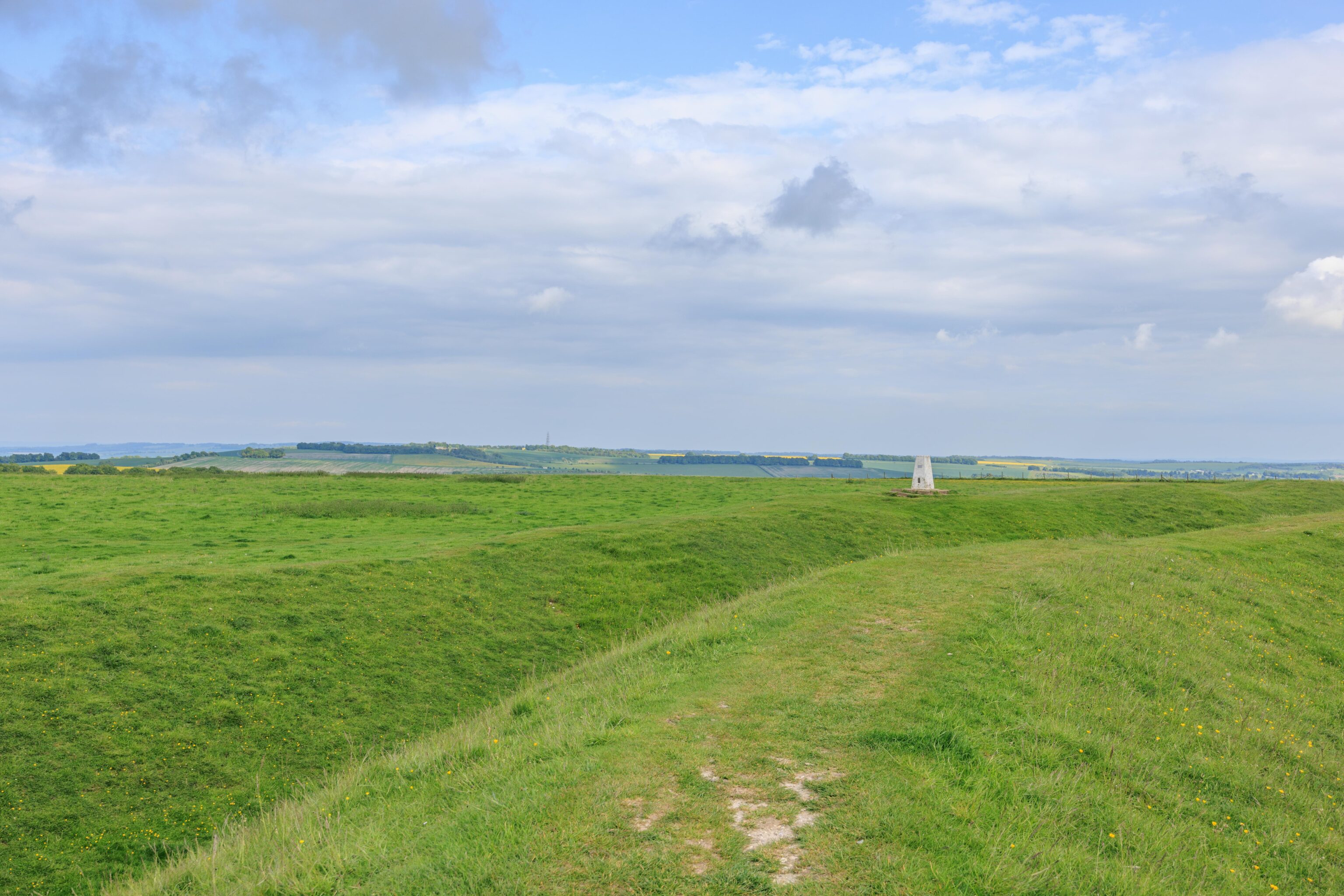
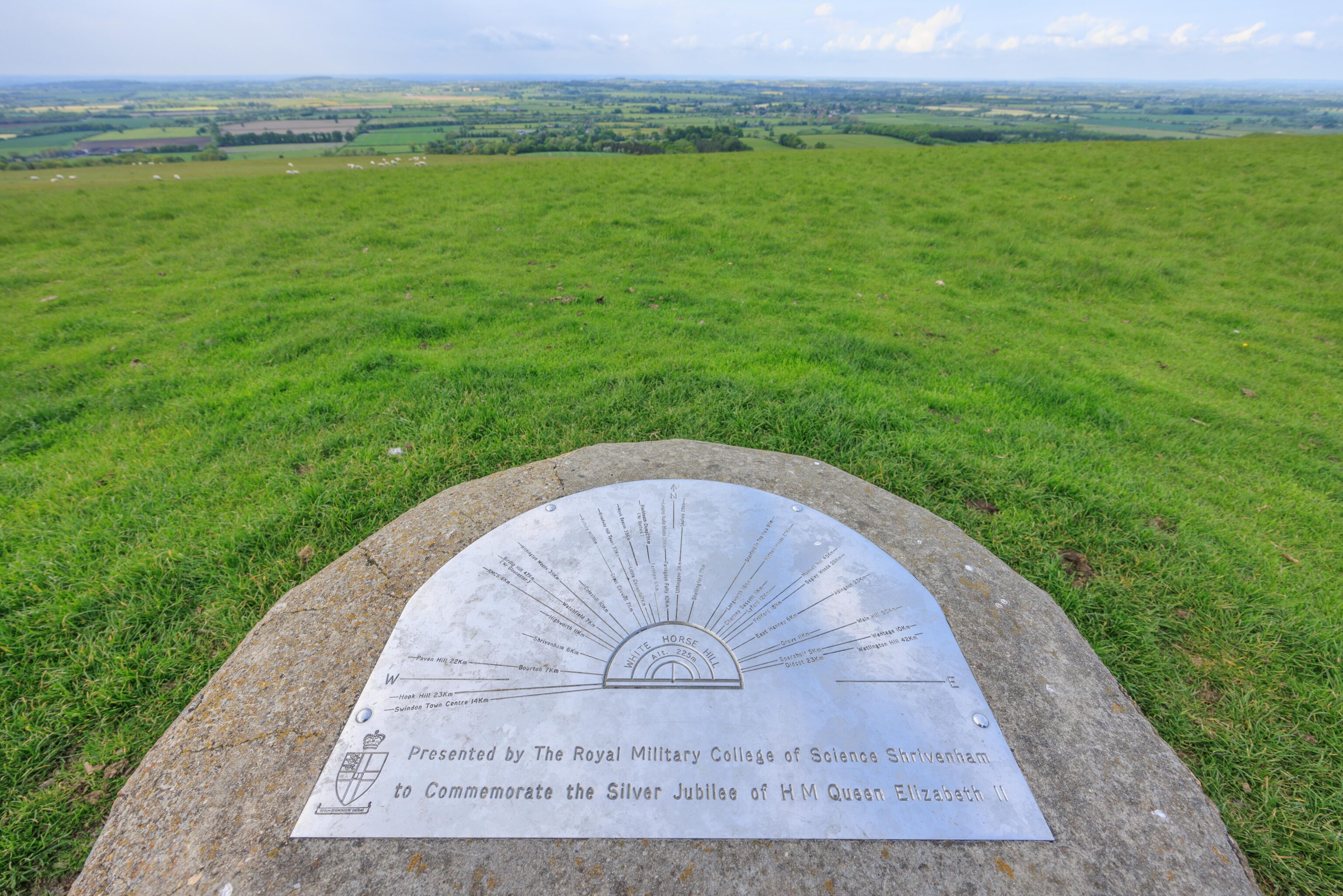
There is an Ordnance Survey marker just east of the castle. This seems similar in function to USGS survey markers in the US.
We walked to the west along the top of the earthen wall.
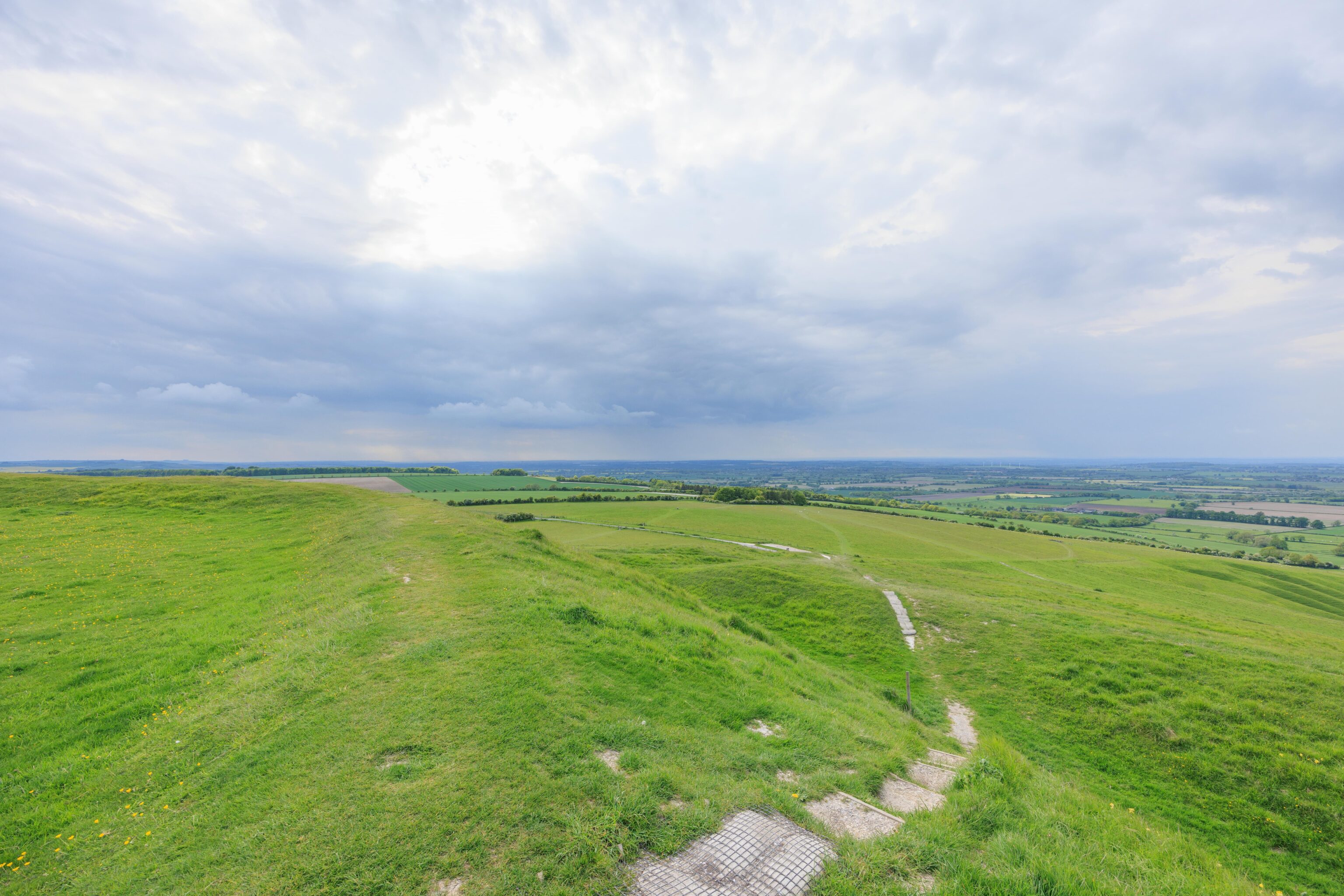
We decided to skip this path down and continued walking.
There is a sloped entrance on the west side of the castle. We took this path down. This would have been the only entrance to the site.
There was a route that headed directly back to the parking lot. It was slightly to the south of the path we took on our way to the white horse. We passed by this sign on our way, roughly in the middle of the field where the sheep were grazing.
After returning to our car, we drove to an intersection where there was a place to pull off the road. The horse looks a bit better from this angle but not by much.
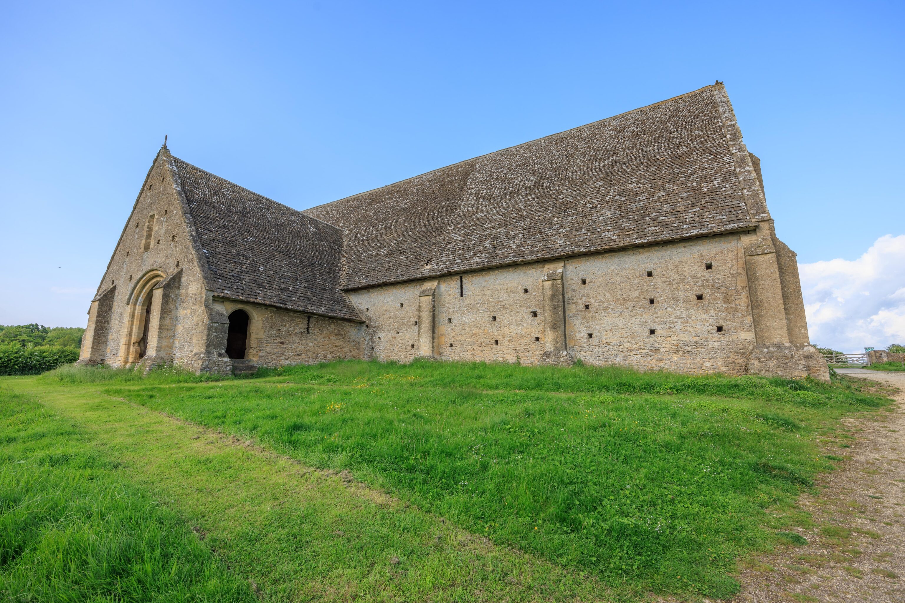
Great Coxwell Barn
We decided to make a quick stop at the Great Coxwell Barn before heading to dinner.
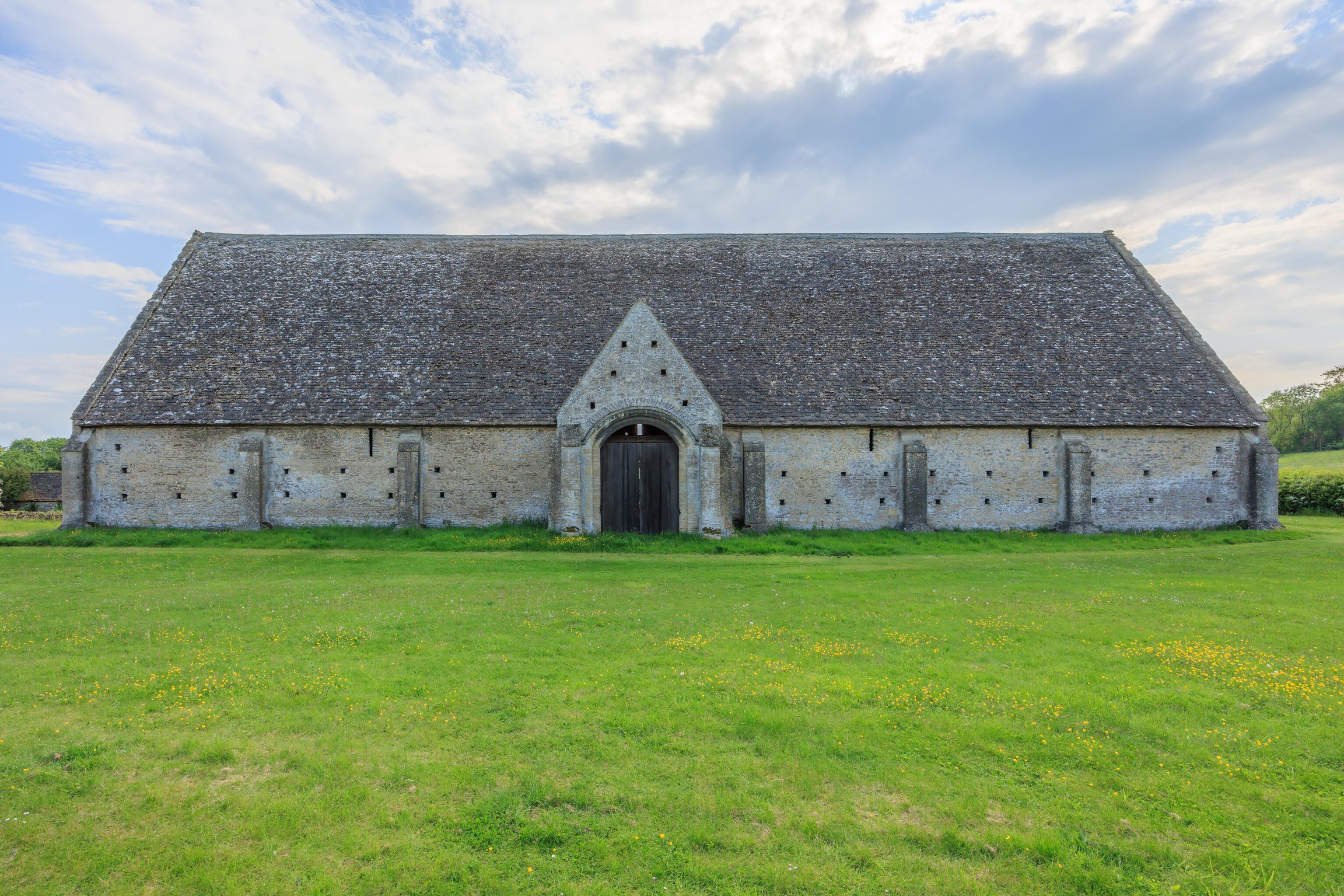
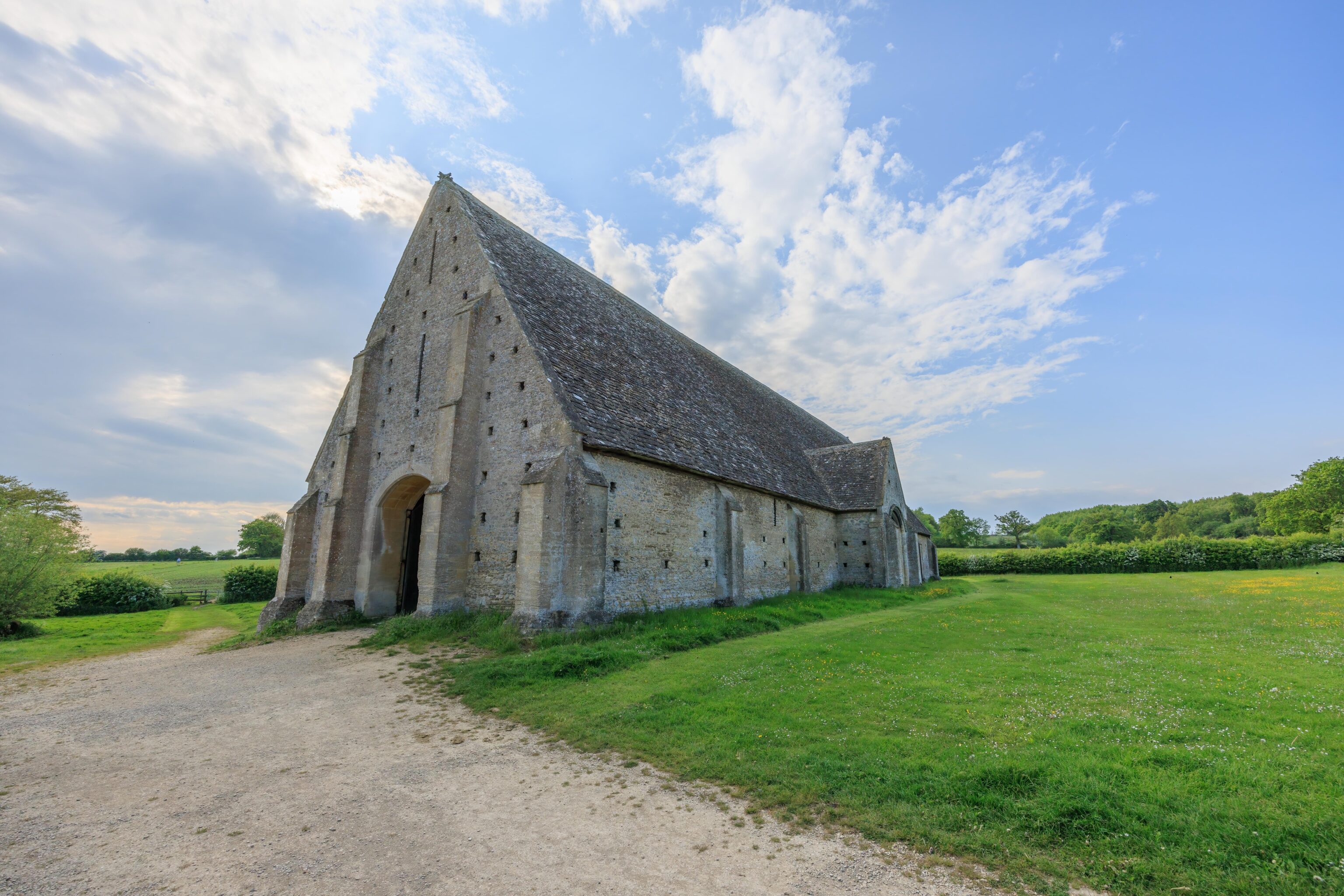
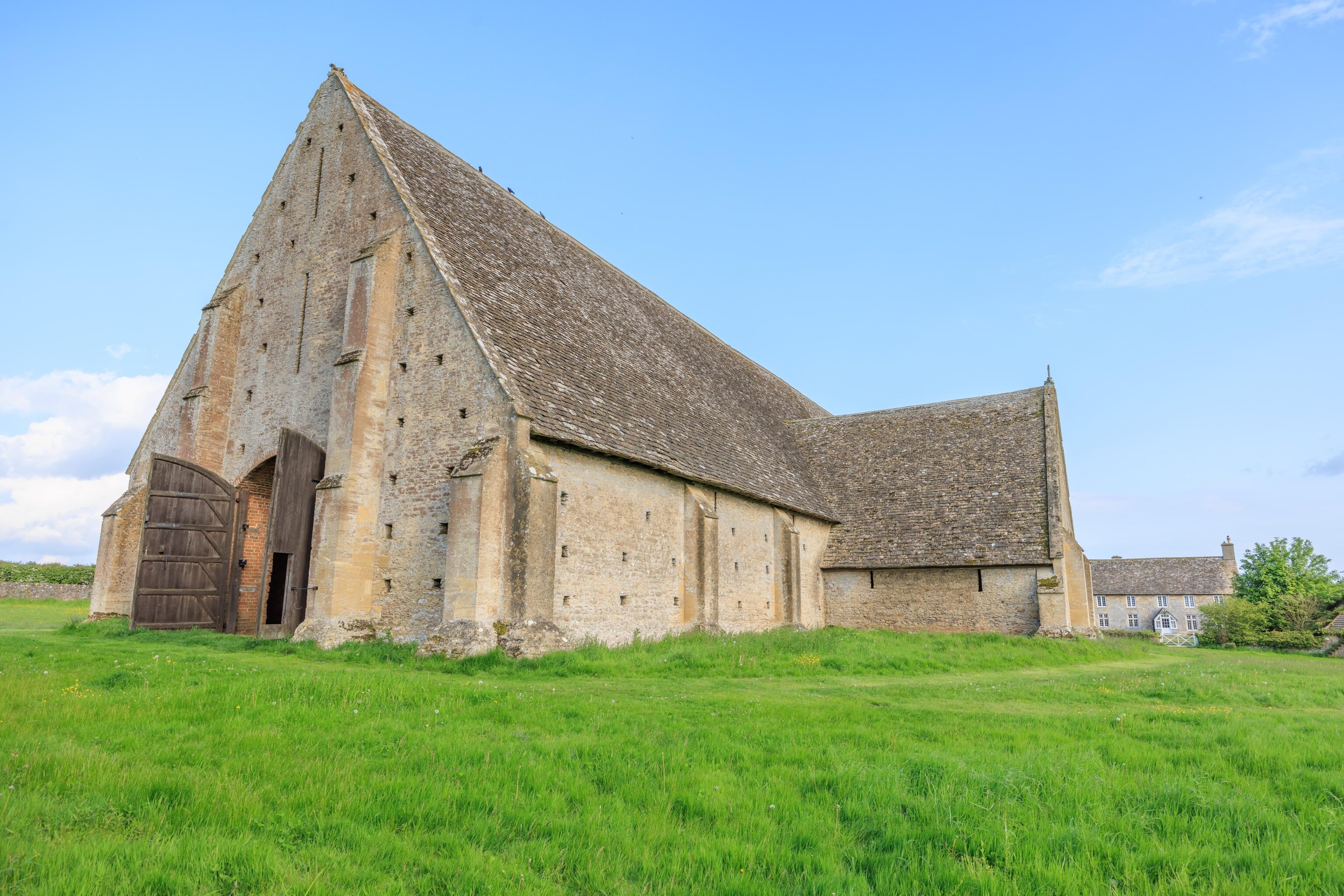
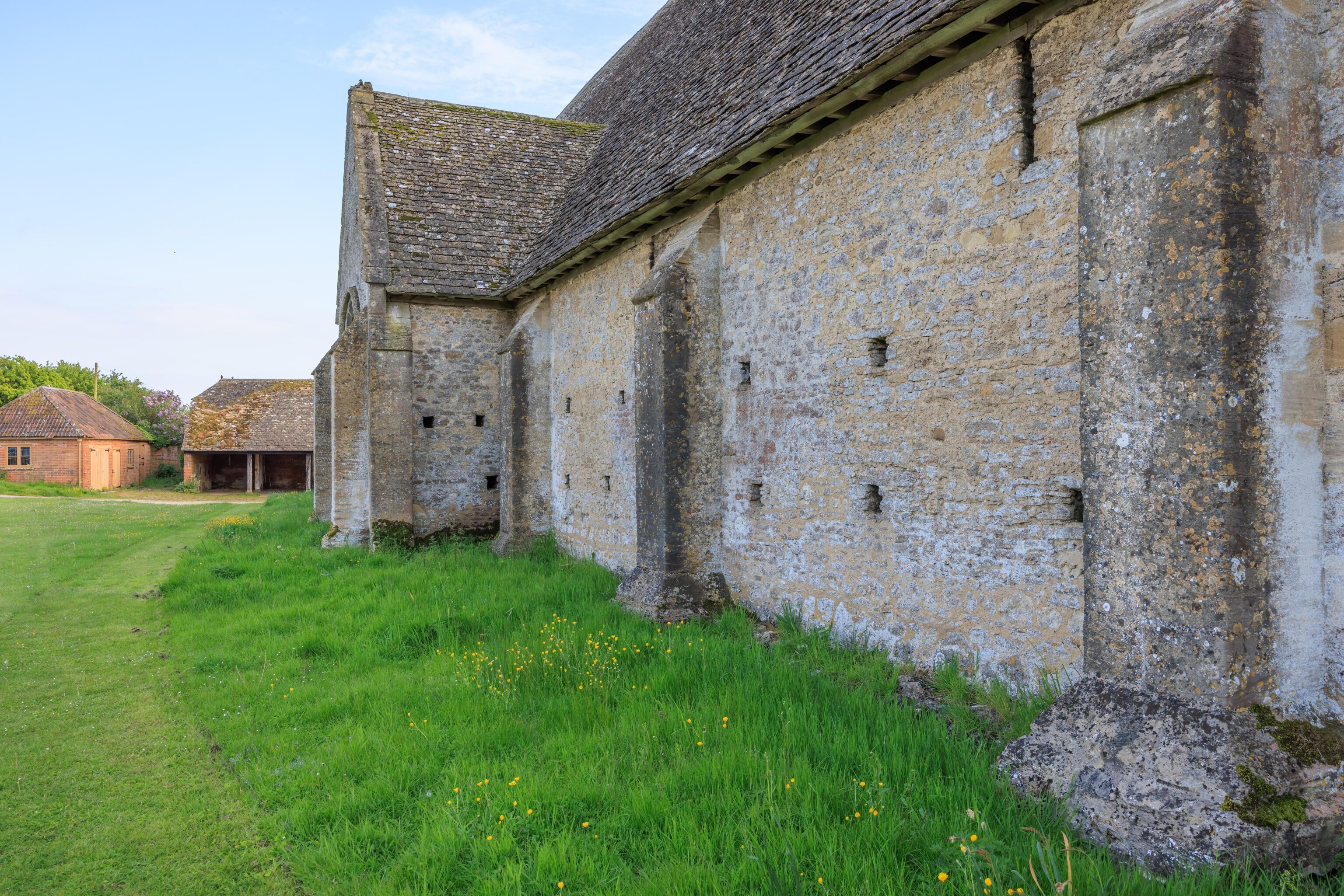
This 13th century barn is built as if it could have been a cathedral! It’s just needs a spire and some stained glass windows!
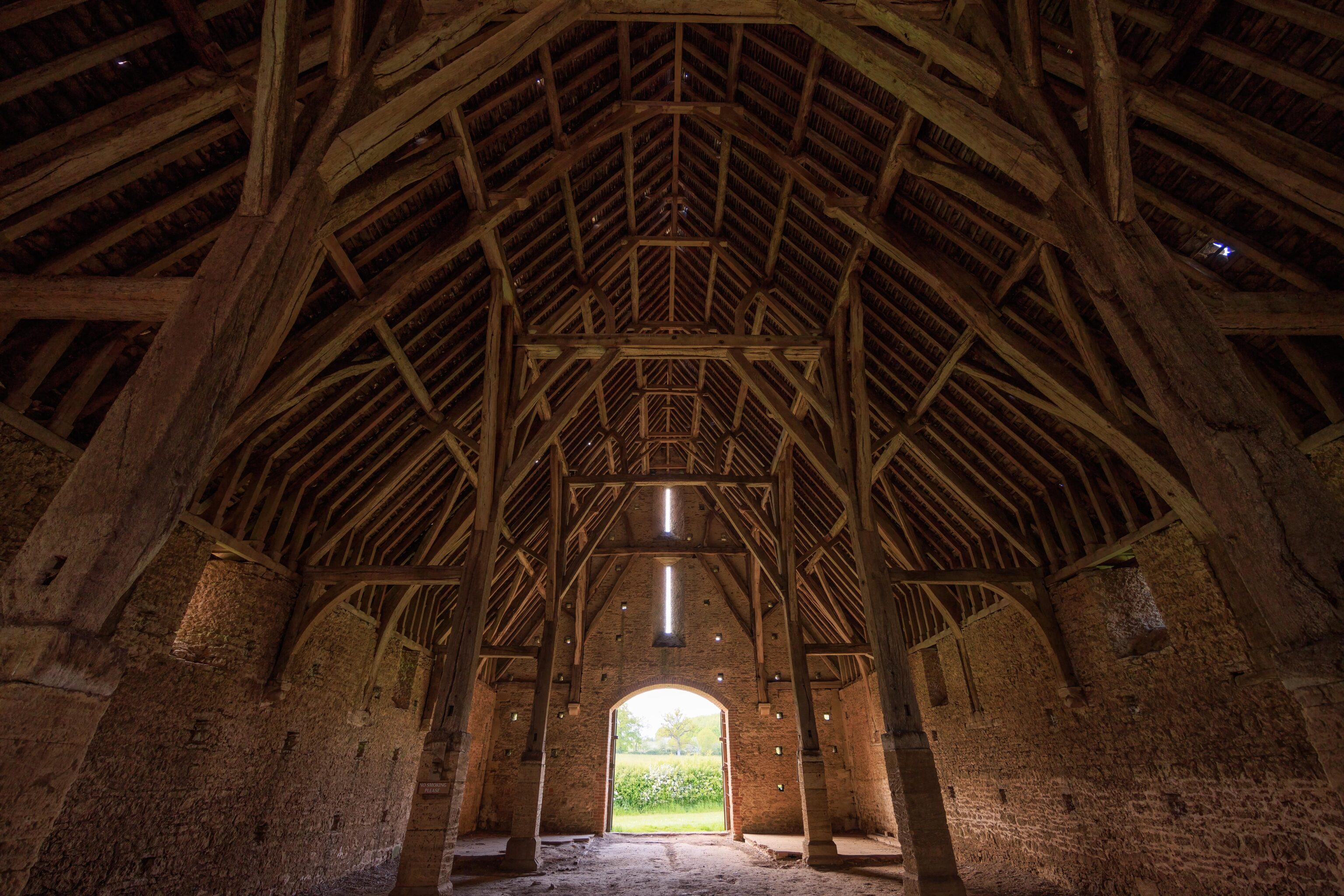
The interior of the structure was empty. We entered from the southern end.
We exited from a door at the western edge.
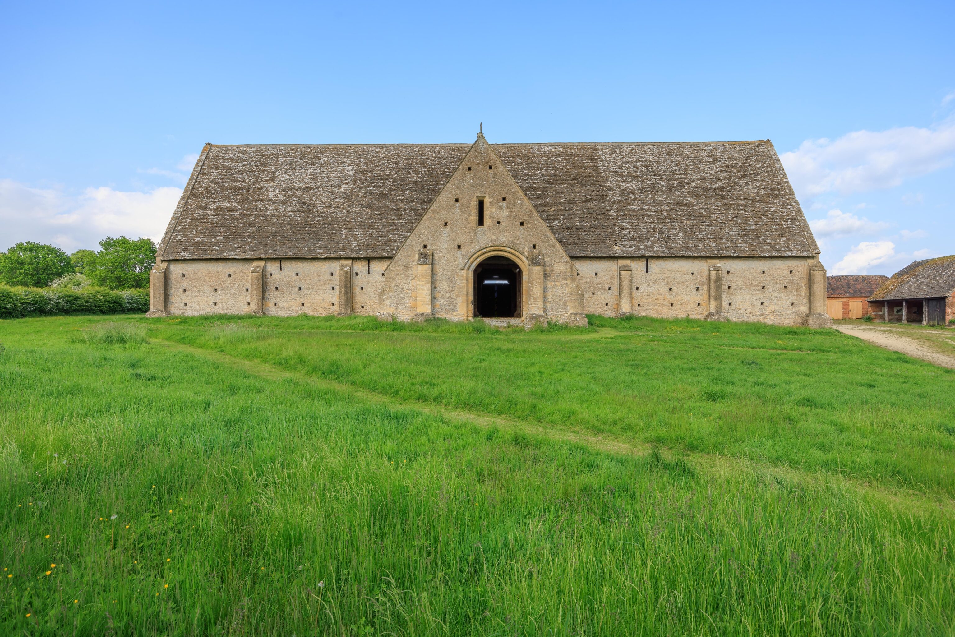
This big door on the western end of the barn is not properly centered!
We continued, walking to the north.
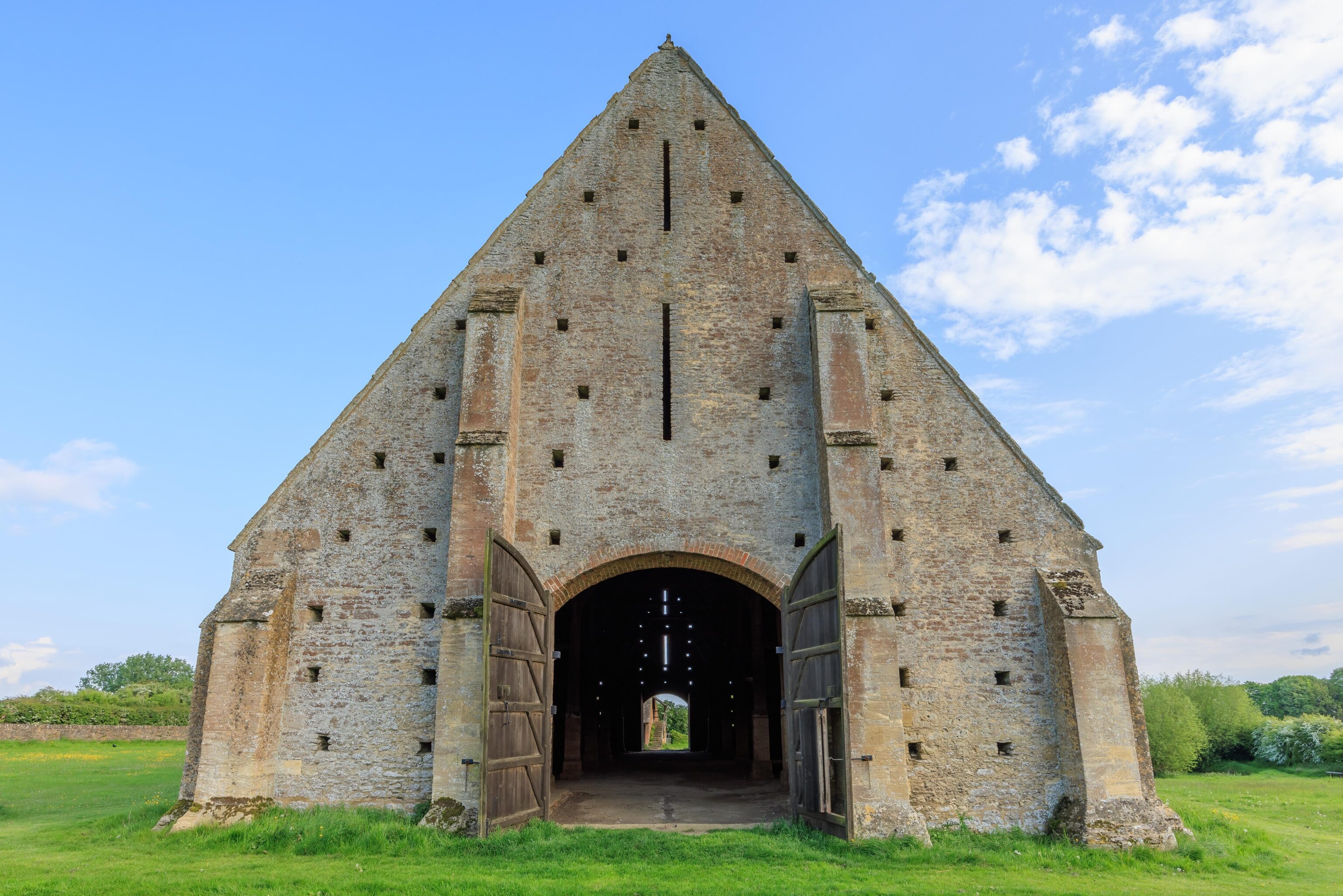
What are all the holes for? They are a bit irregular in pattern.
We continued back to the east side where we ended our day.