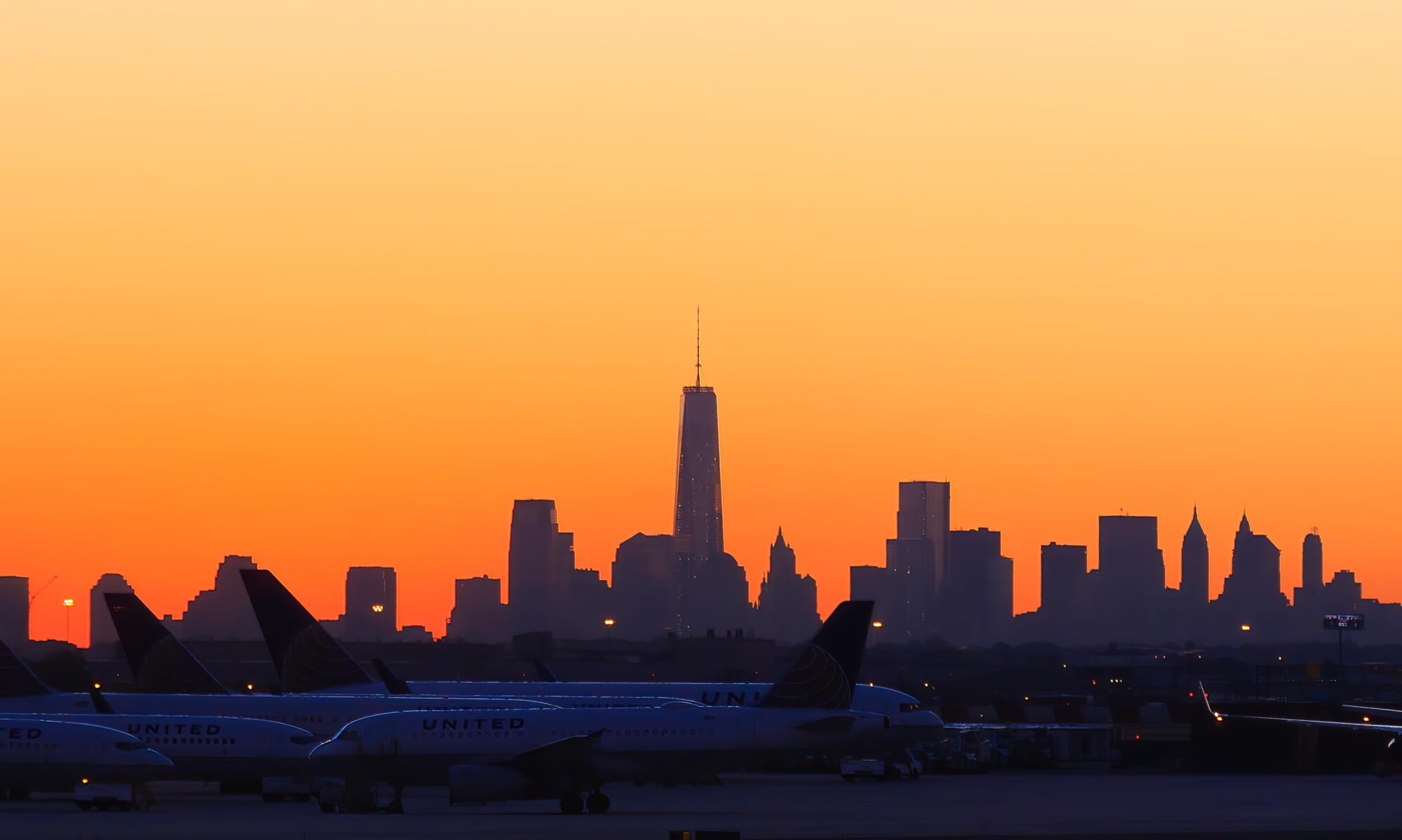

We headed out early from Toyama to start the Tateyama Kurobe Alpine Route. Our destination for the day was Murodo and Hotel Tateyama, the highest point on the route. We got to Murodo fairly early and went out for a walk in the snow. The weather got worse throughout the day, though there was a brief period where it cleared up a tiny bit. But afterwards, there was strong blowing wind and blizzard-like conditions and visibility.
Sunrise happens early in Japan, around 5:13am today. We headed out a few minutes later to the Dentetsu station at Toyama, adjacent to the larger JR station. We scouted out the area yesterday morning to see the procedure for getting our tickets as there is a new web-based system. It was absolutely crazy, though the web ticket pickup and train ticket machines seemed to be empty. It ended up being pretty quiet when we arrived and we quickly got our tickets for the Tateyama Kurobe Alpine Route as well as the Dentetsu train tickets to get to Tateyama where the route begins.
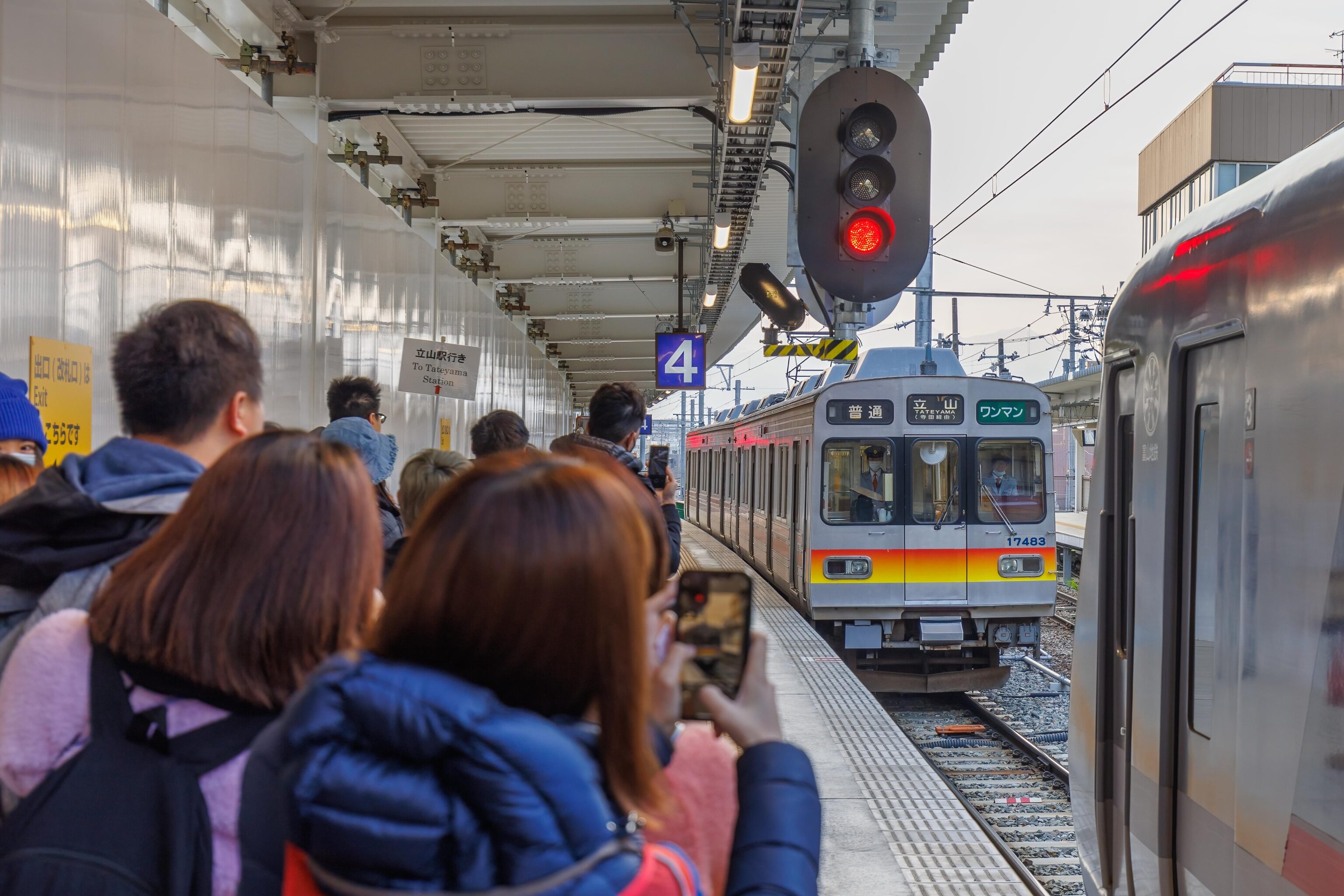
By the time the two car train arrived, there was already a good queue. But we were close to the front of it and managed to get seats rather than having to stand for the 1 hour route. The train is just a standard but older Japanese electric train.
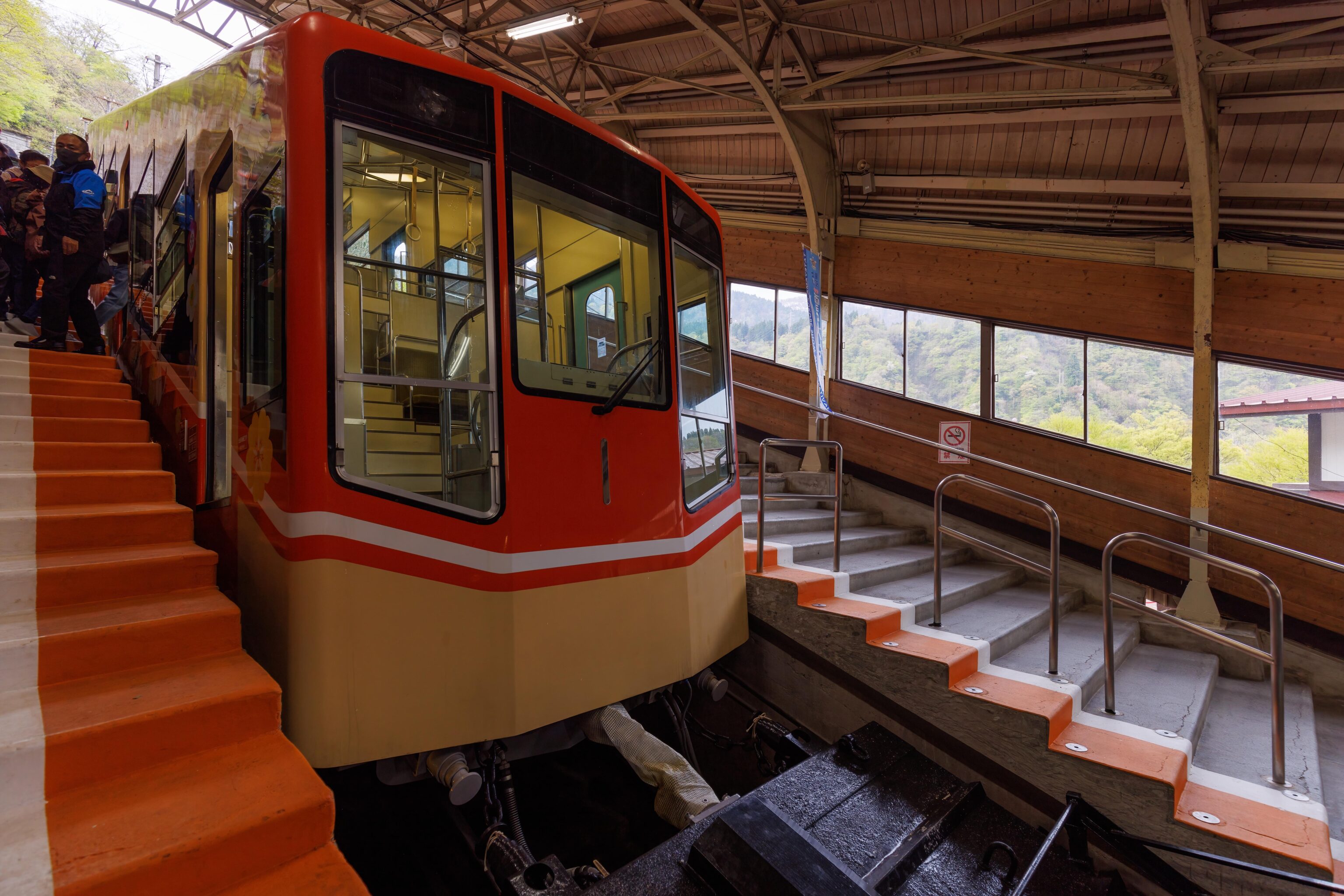
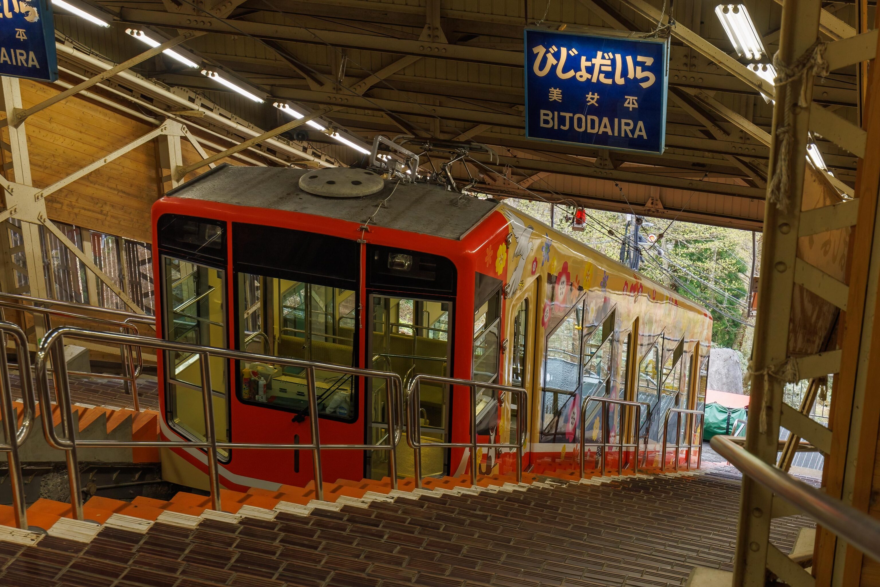
Upon reaching Tateyama, we headed to the funicular, or cable car in Japanese, where the alpine route begins. We didn’t bother trying to get in front of the massive crowd. It is a short ride up to Bijodaira, the next stop and we stood for the trip up.
At Bijodaira, most rushed to get on the next stage in the route, the Tateyama Highland Bus. We headed up to the scenic viewpoint above the funicular station. Bijodaira was more or less at the bottom of the current snow line. We soon headed to the bus station where were were #1 in line for the next bus. Soon, the next hoard of people arriving from the funicular queued behind us.
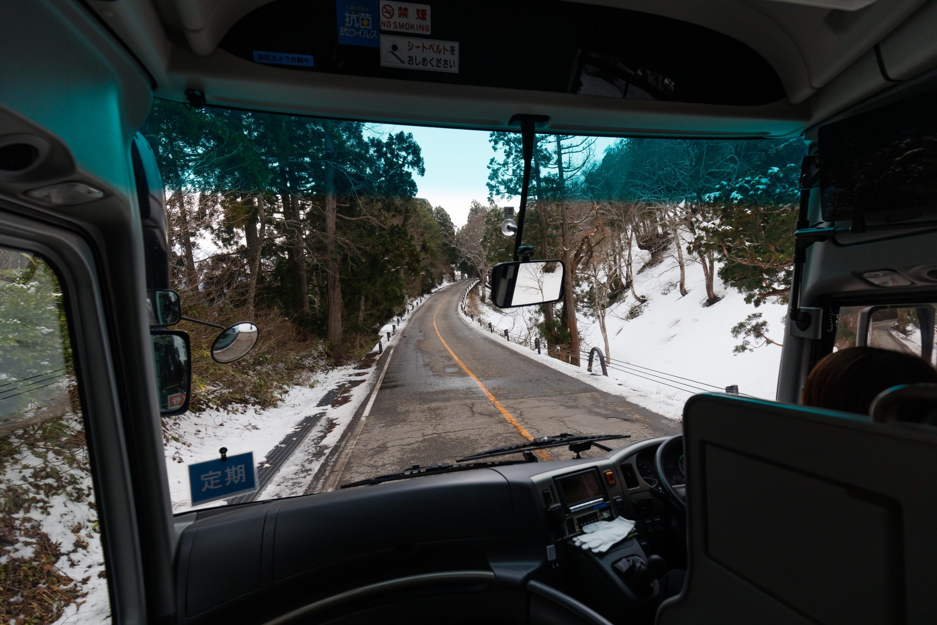
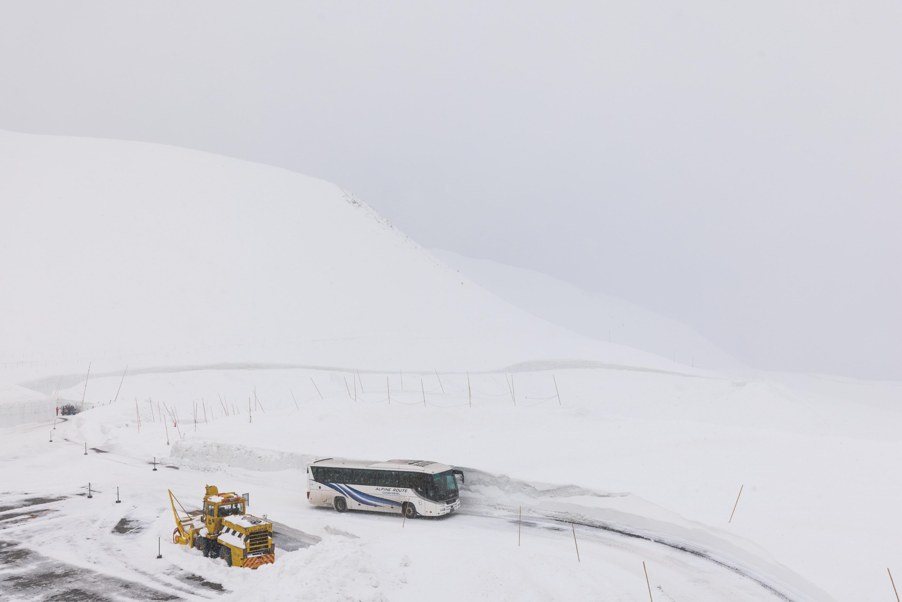
As we were first on the bus, we had our choice of seats. We took the first row on the left in the direction of travel, as the Deutsche Bahn like to say. The bus soon began the nearly 1 hour journey to Murodo, skipping all stops as we boarded the non-stop bus. At this point, the road was clear of snow but there was a bit on the sides in the forest.
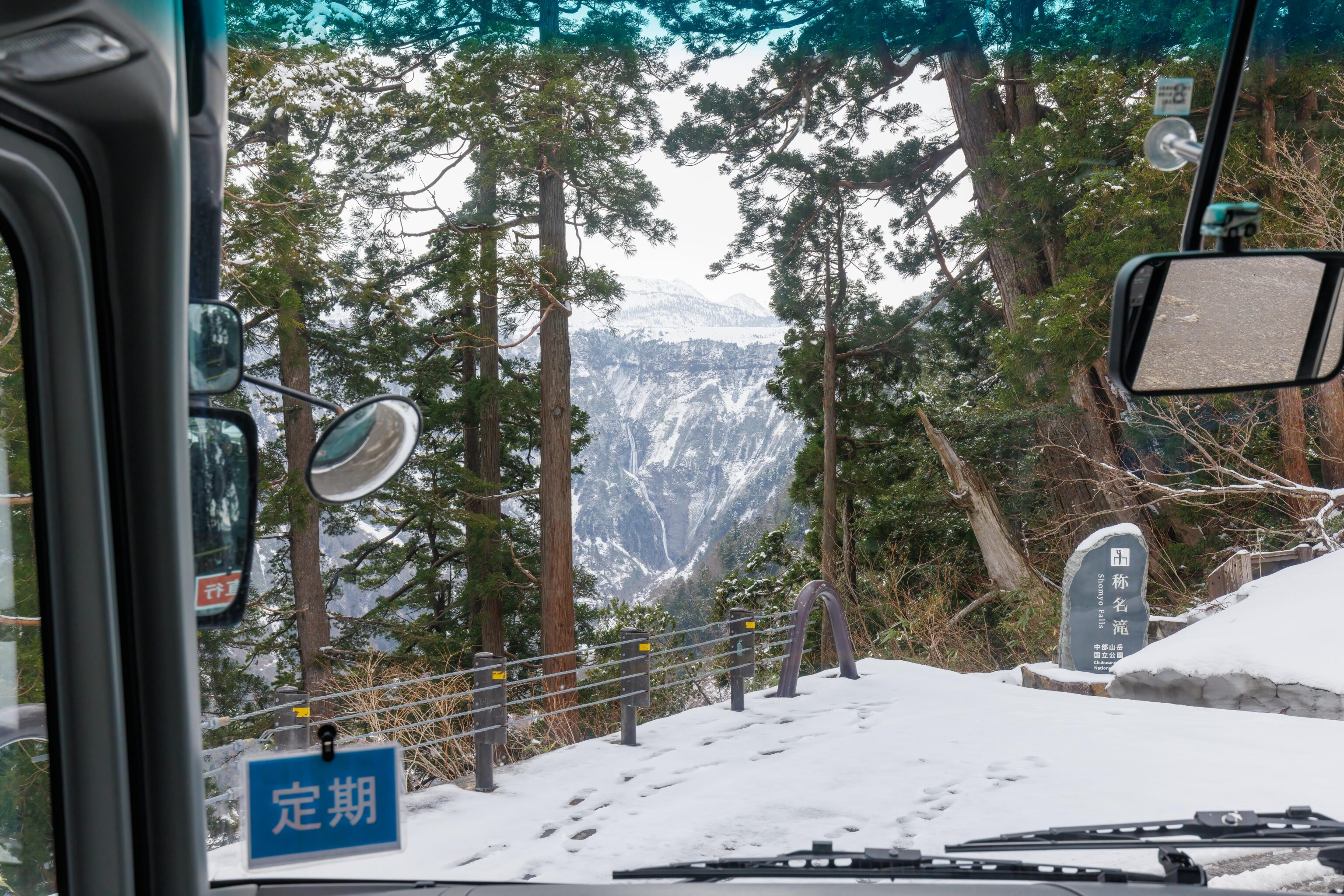
Shomyo Falls is the tallest waterfall in Japan. It can be accessed by bus but the route doesn’t start until later. The Highland Bus briefly stops and slowly drives by this viewpoint where the waterfall can be seen in the distance.
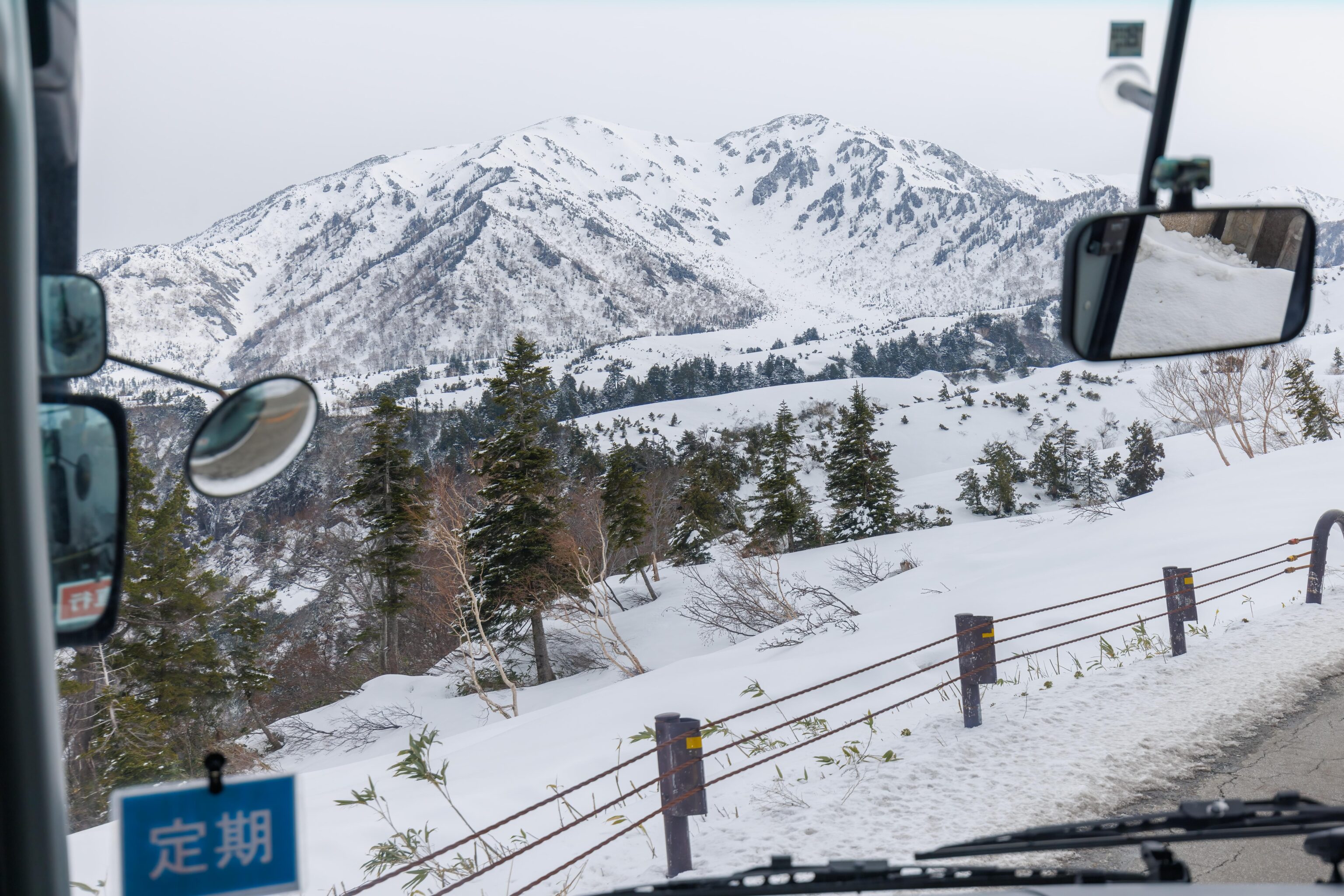
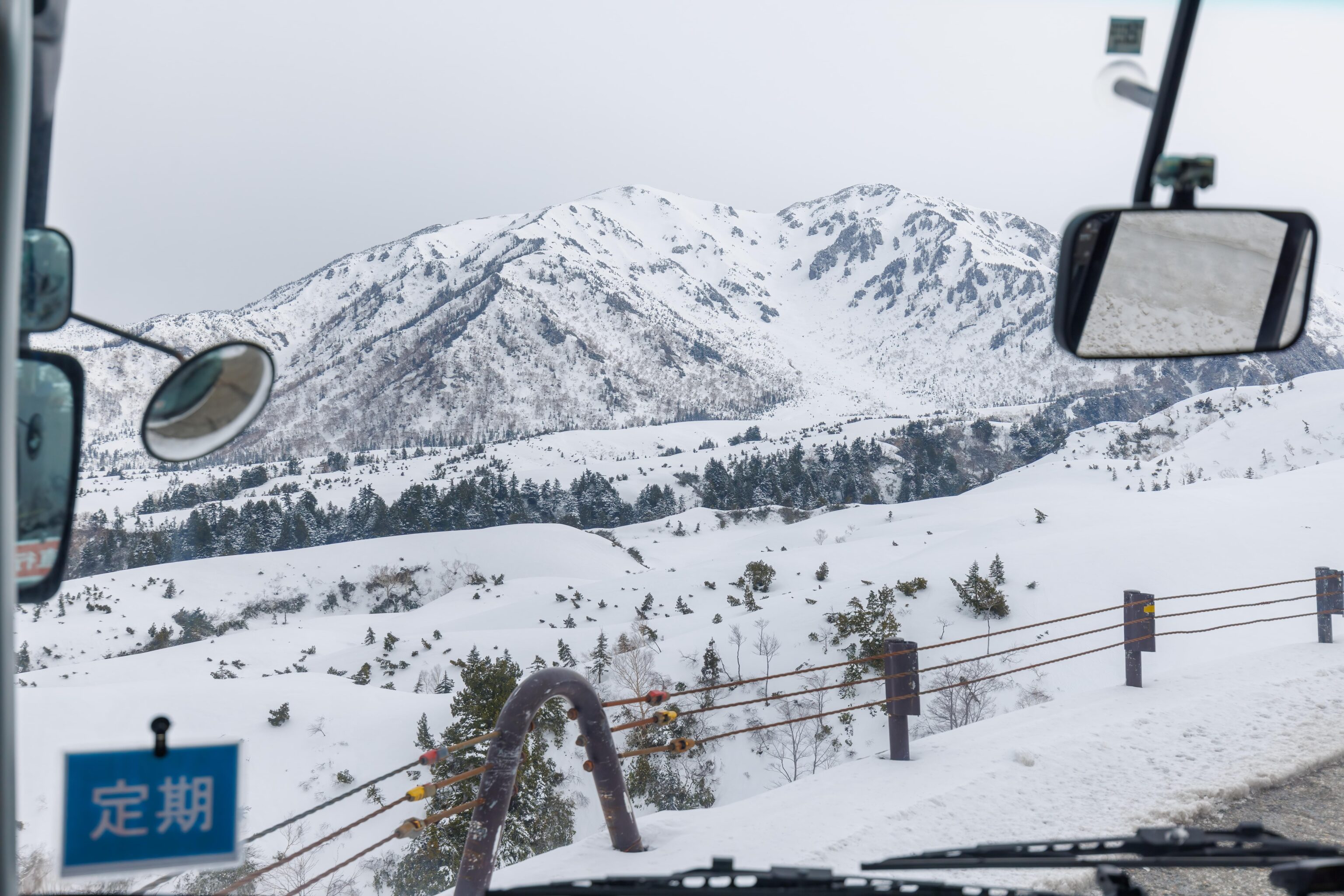
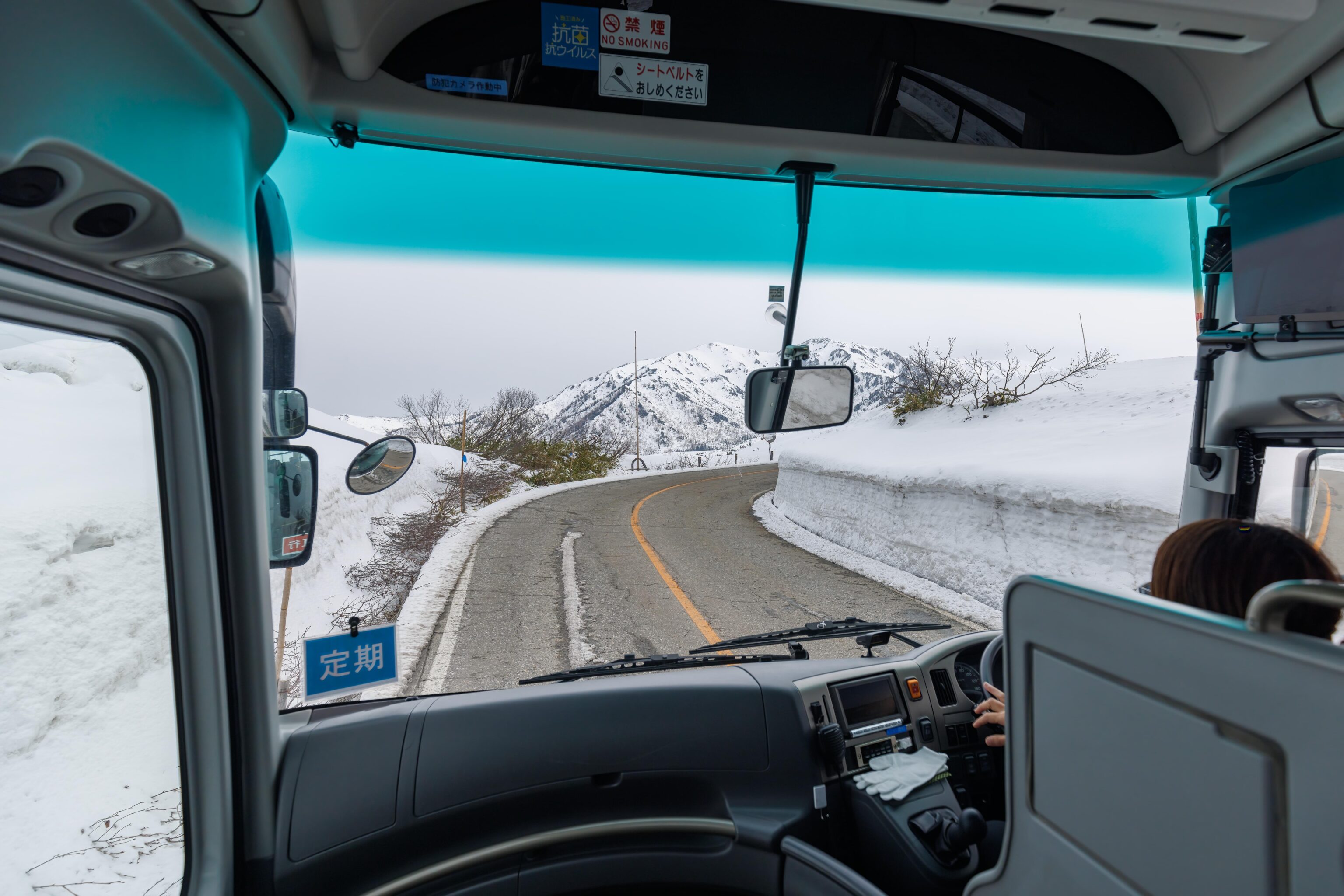
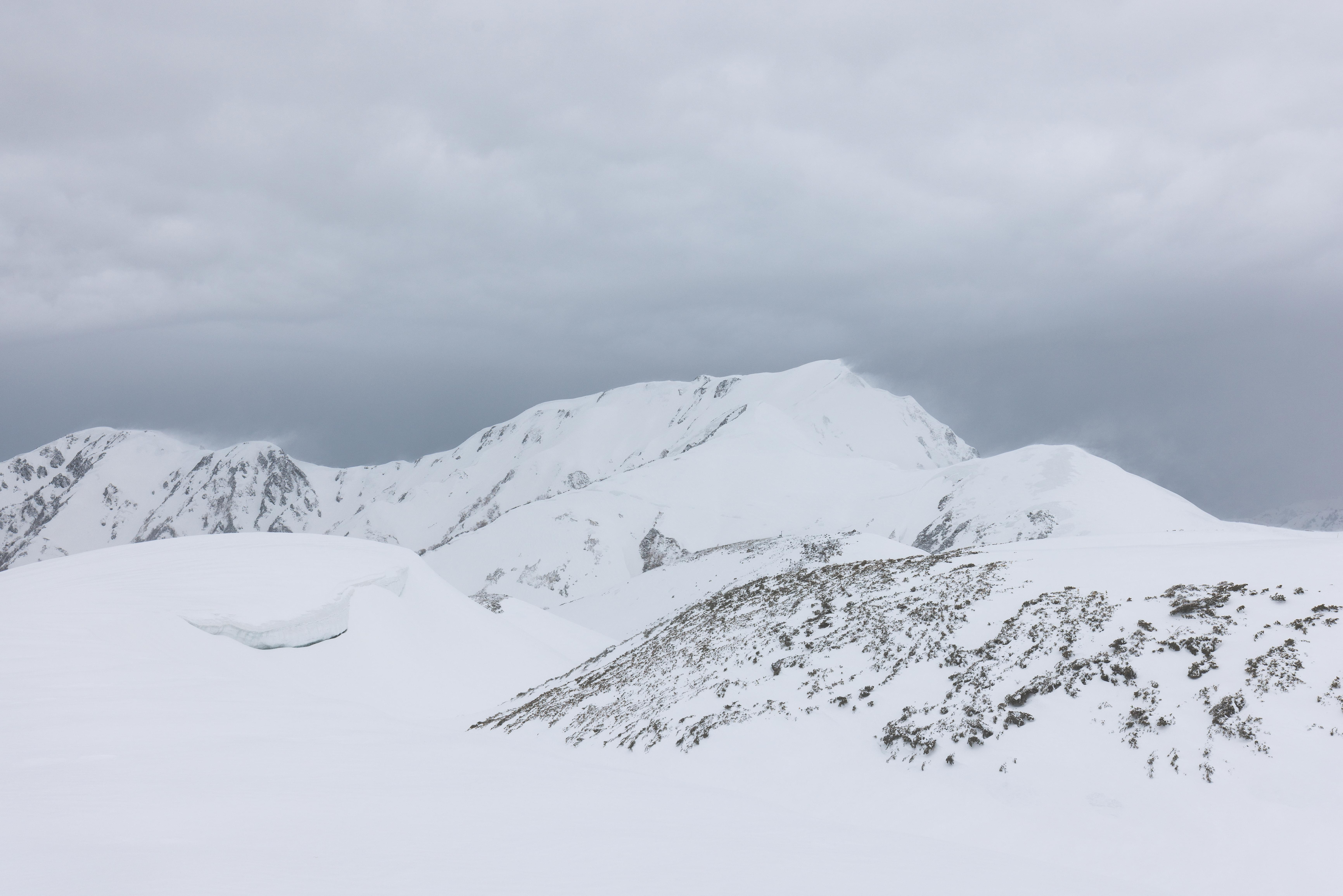
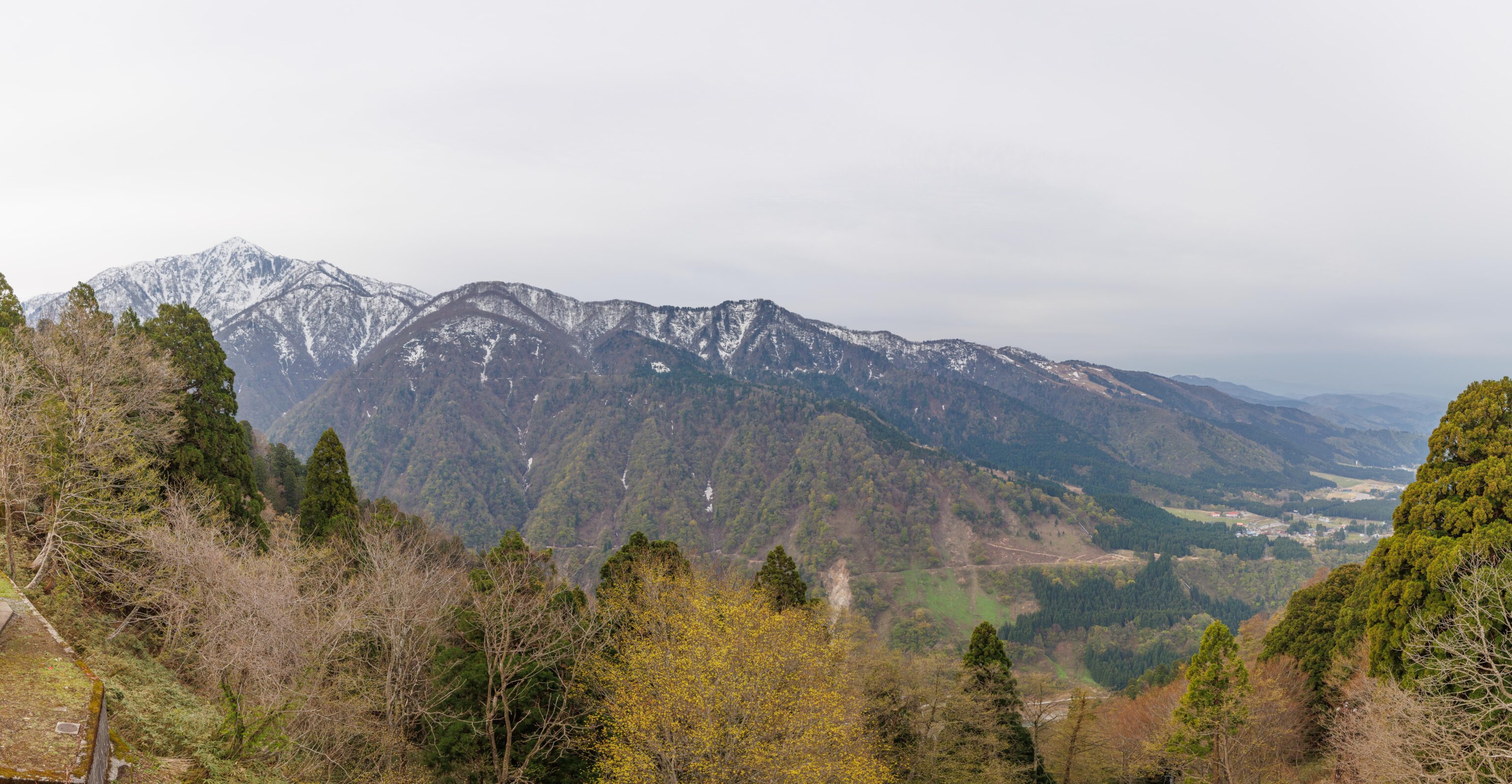
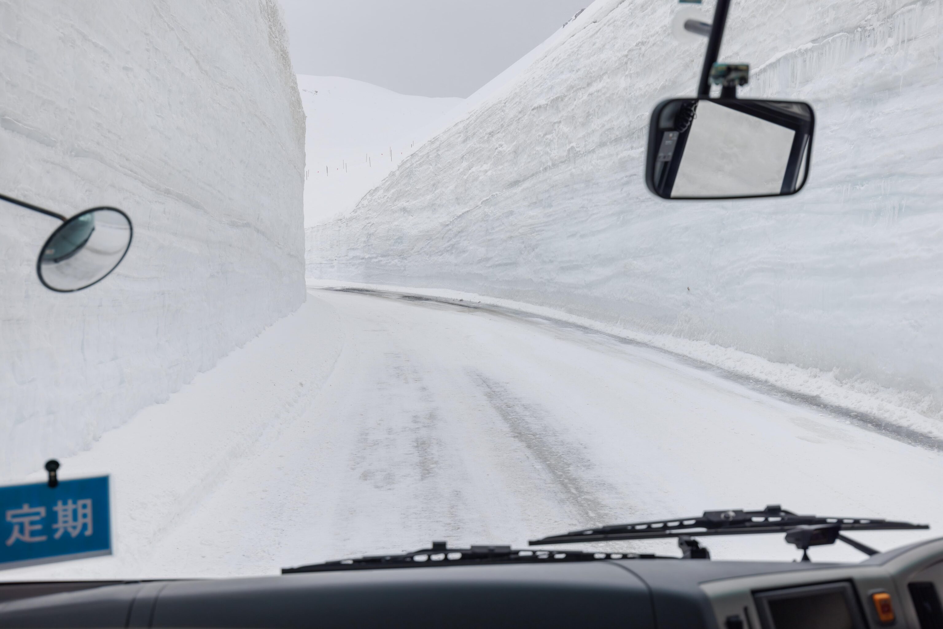
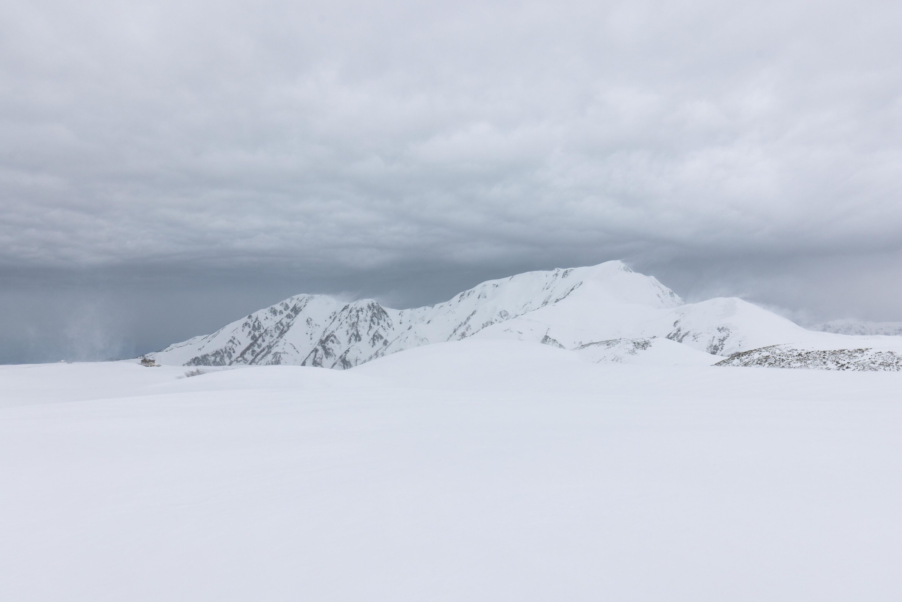
Soon, the road ascended to a point where the forest opened up. We could see tall peaks in the distance. And although the road was still clear, the snow on the side of the road became deeper.
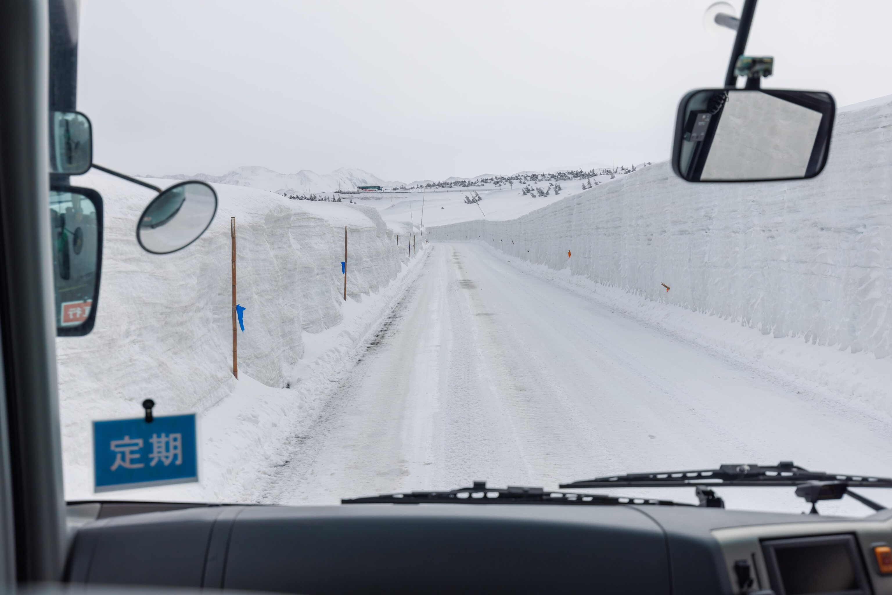
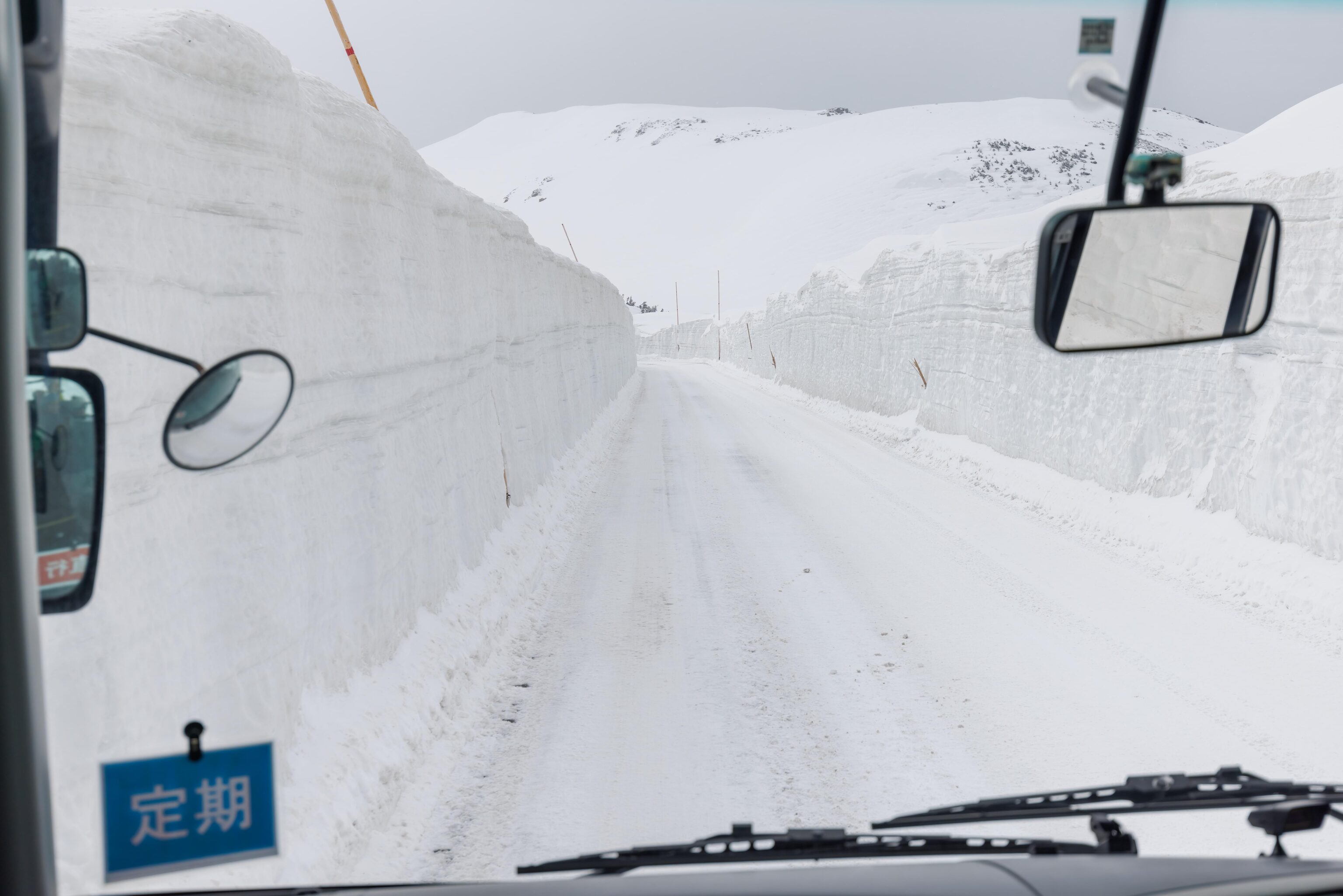
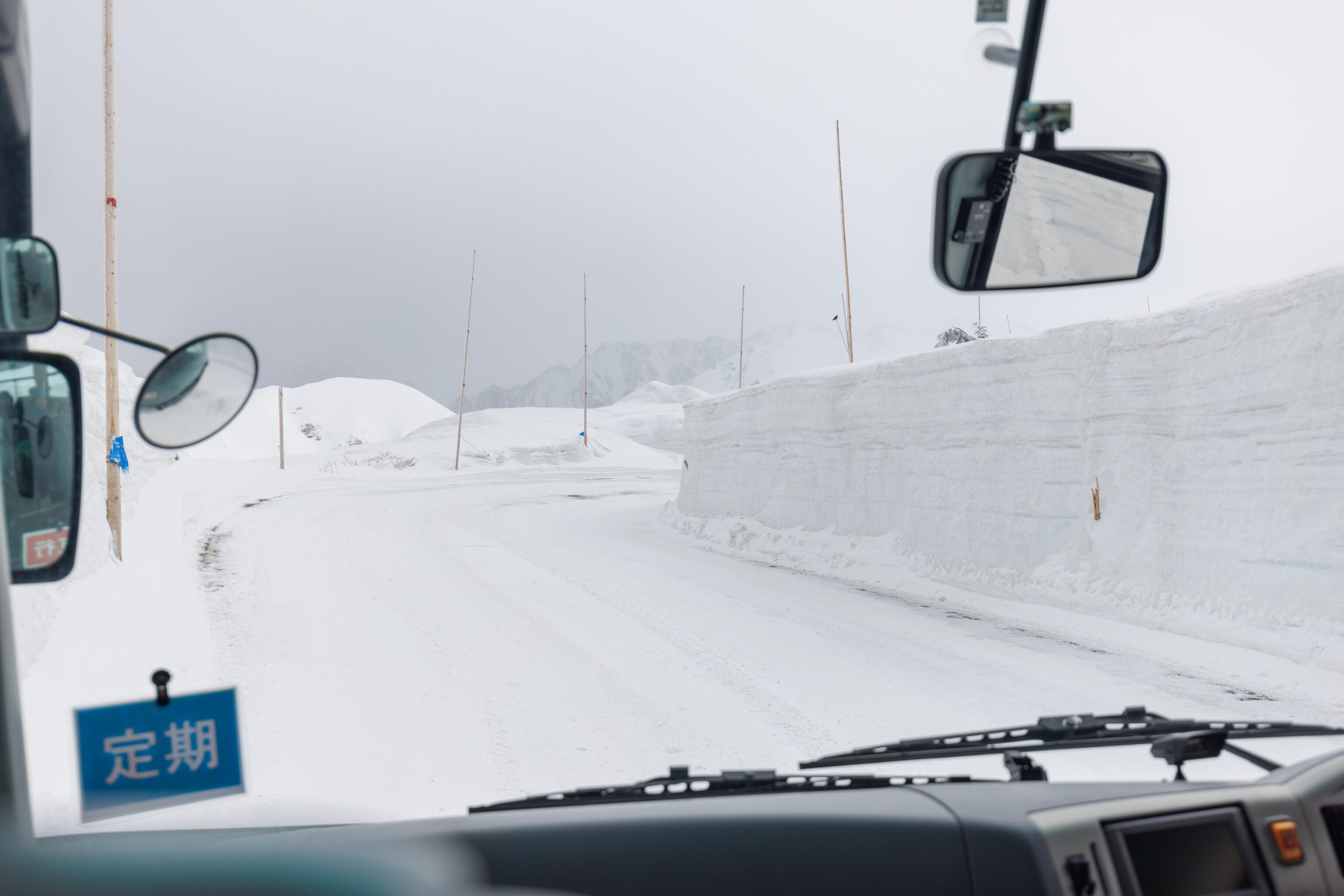
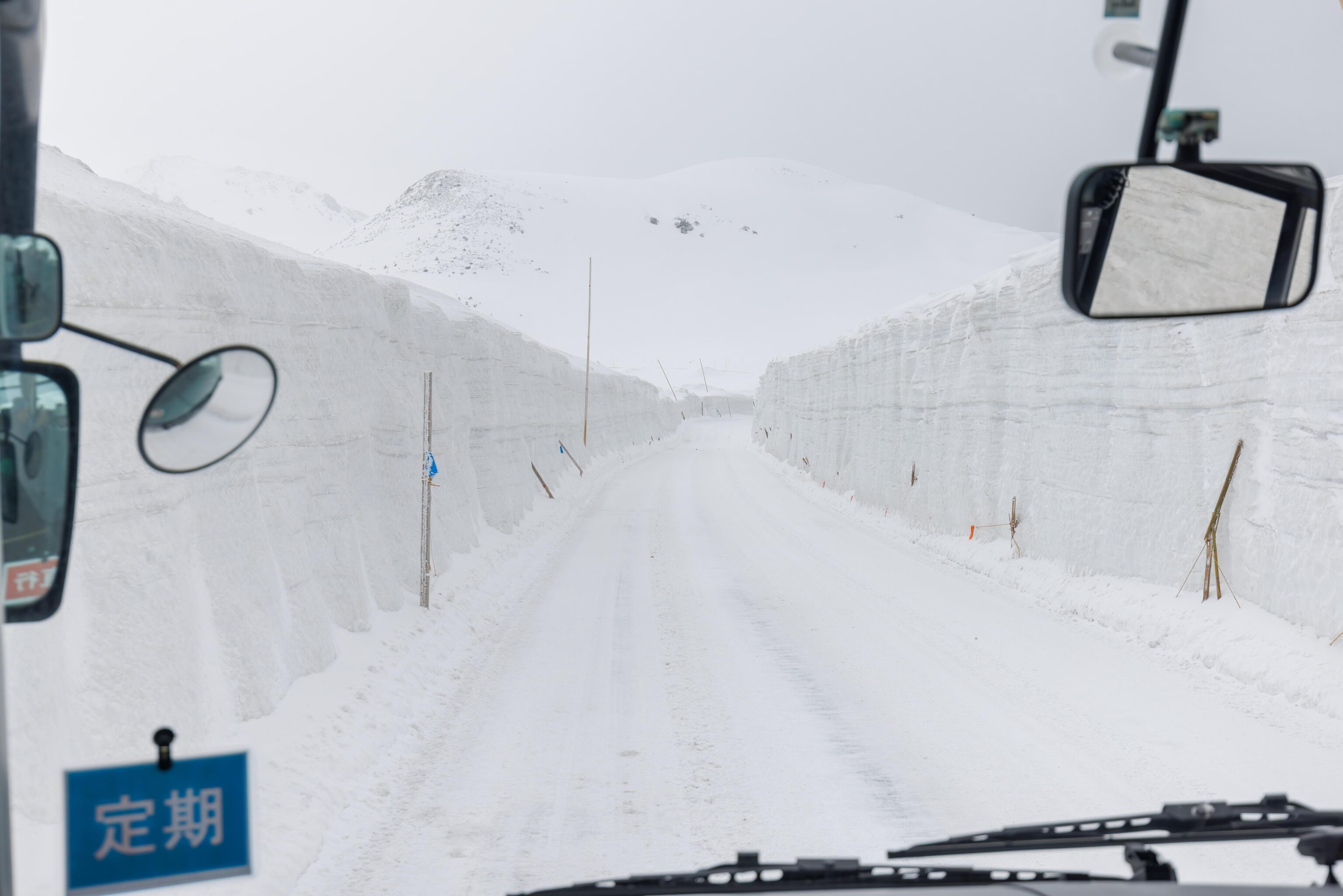
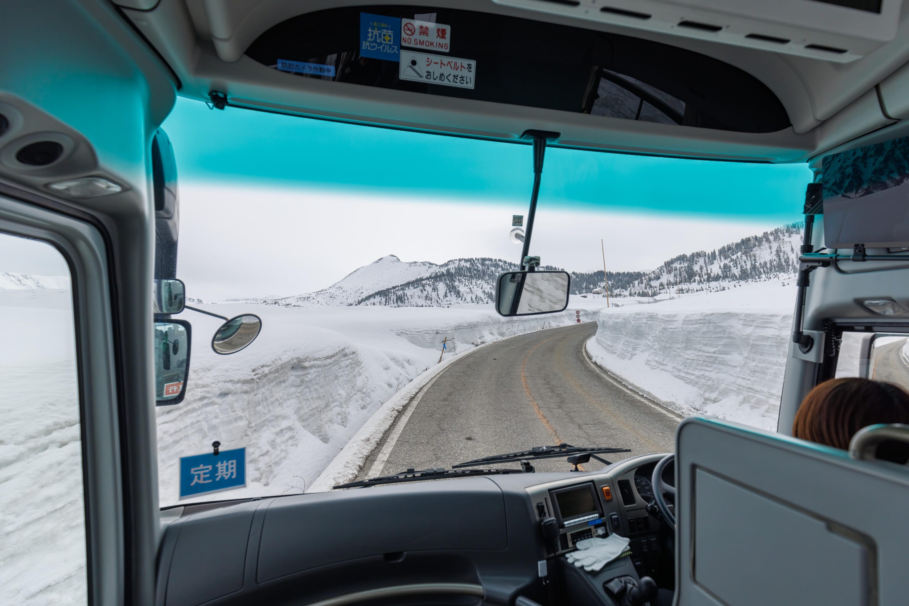
The snow kept getting deeper and the road became snow covered as well. We could see various mountain scenes in the background as the road wound its way up the mountain.
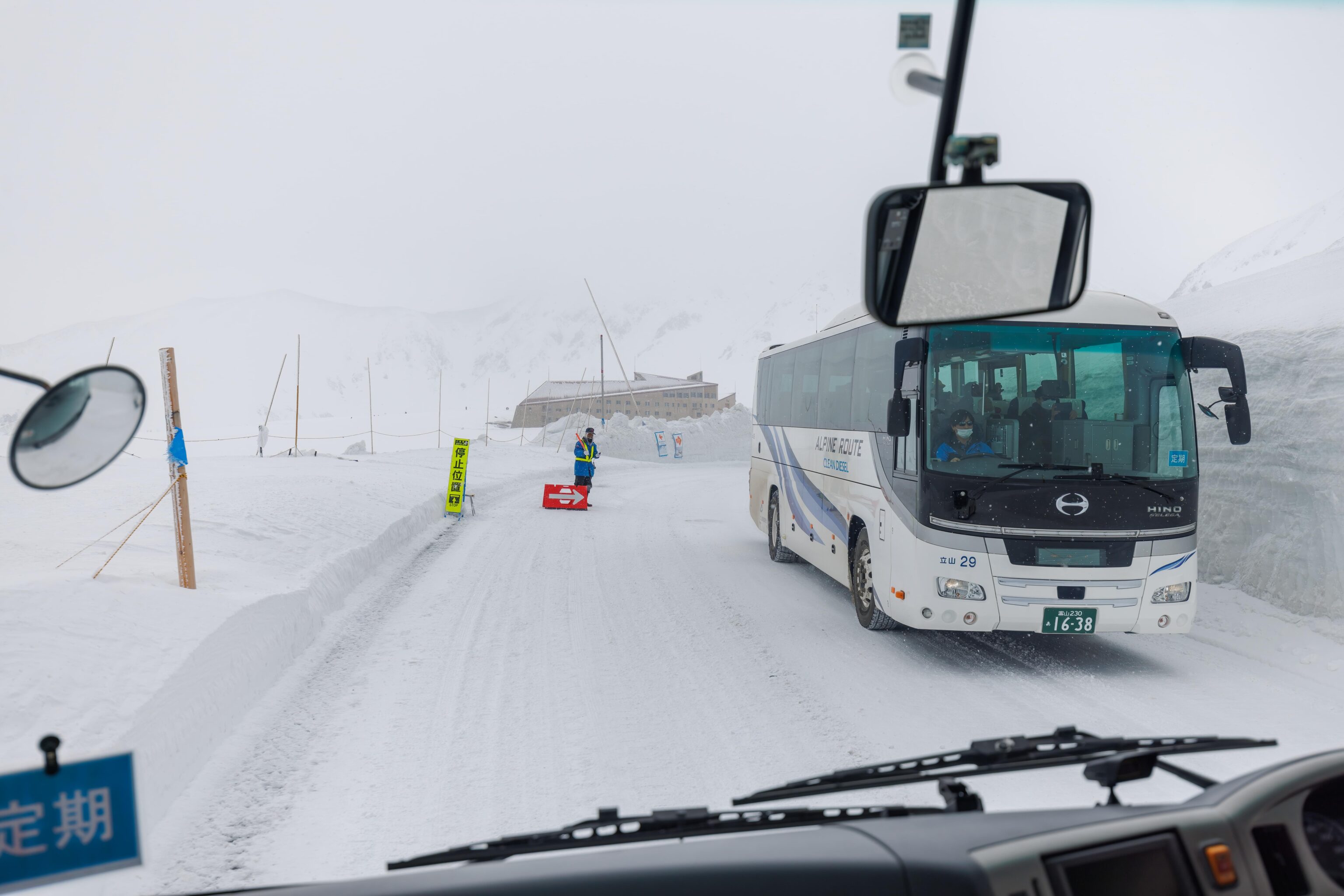
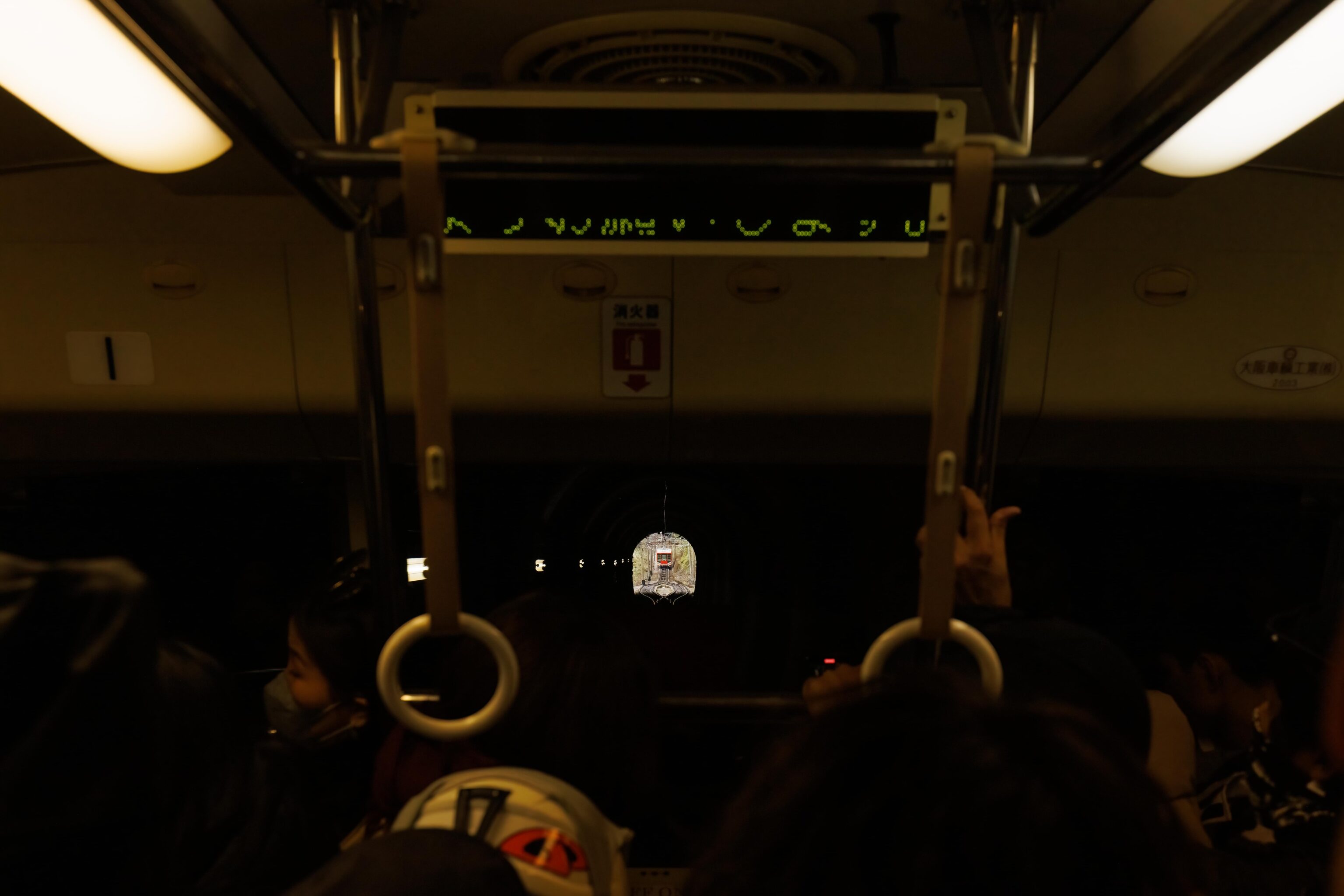
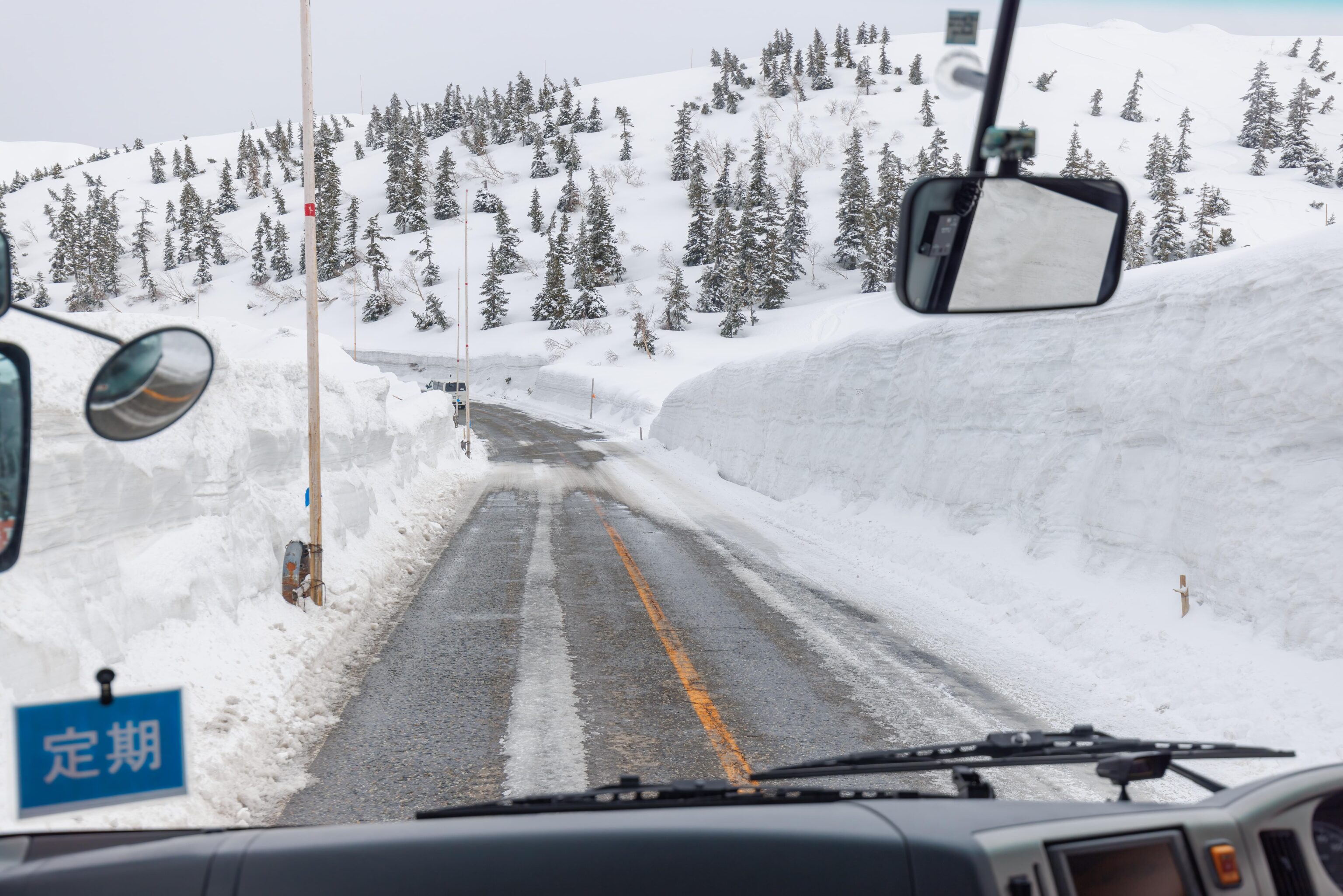
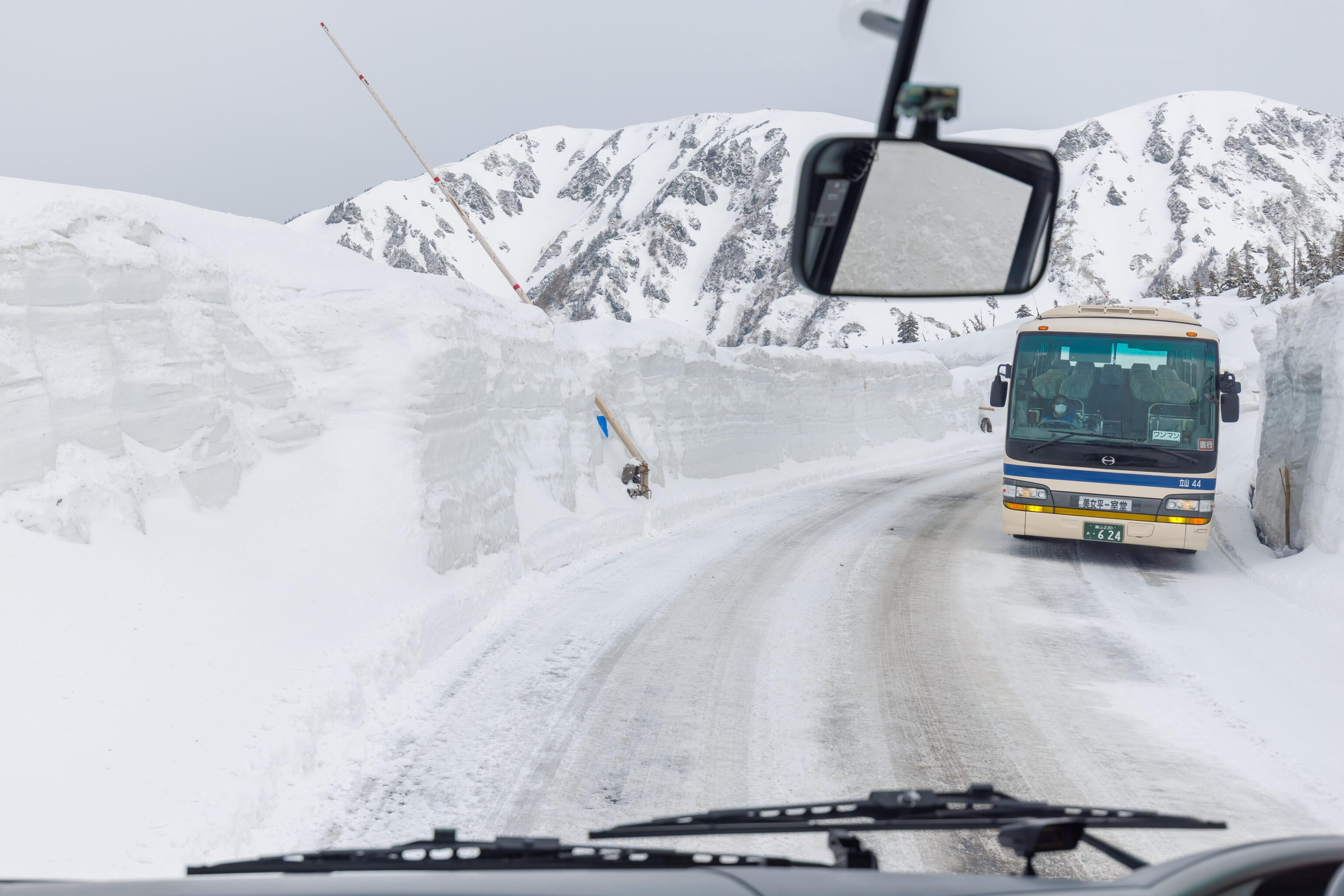
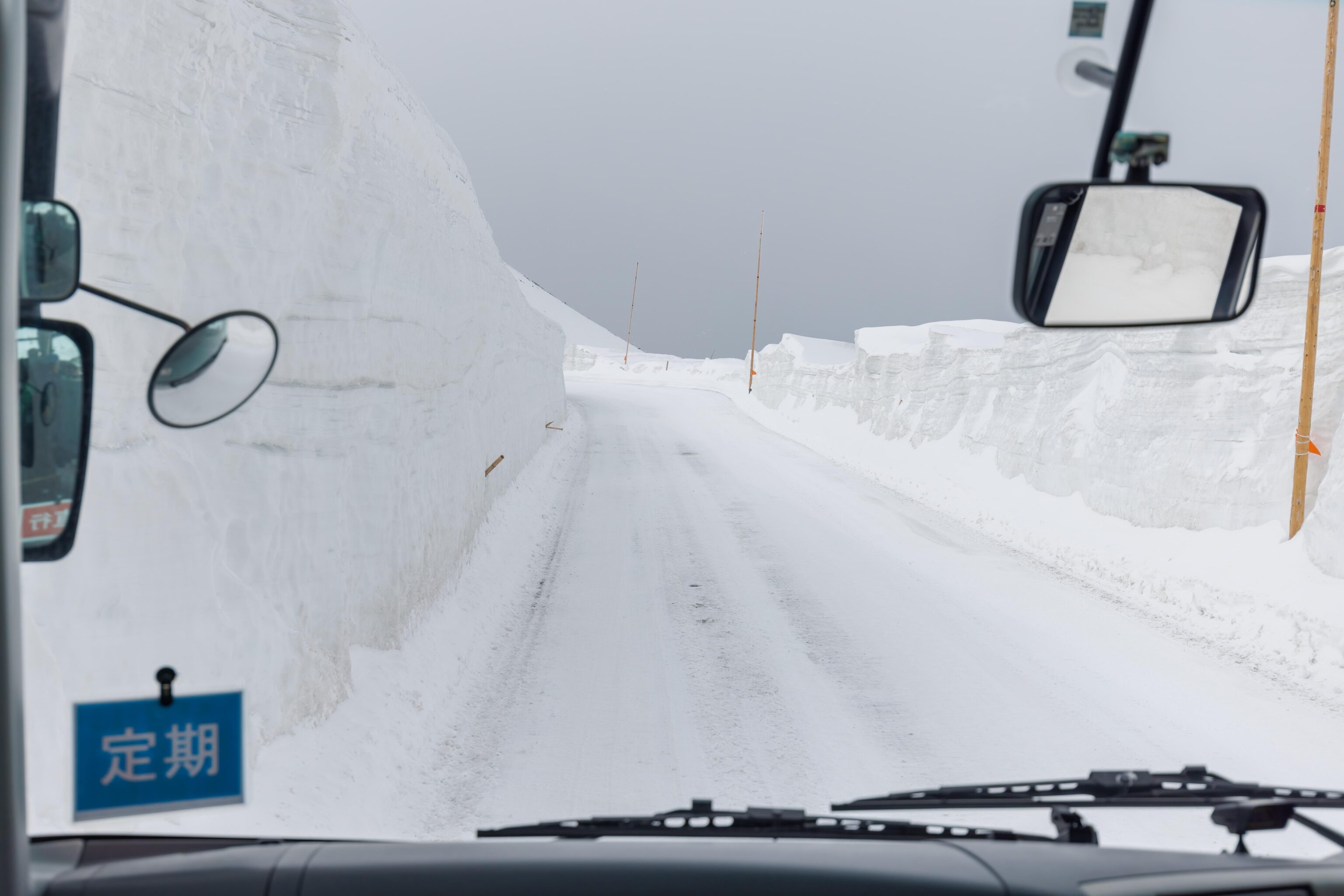
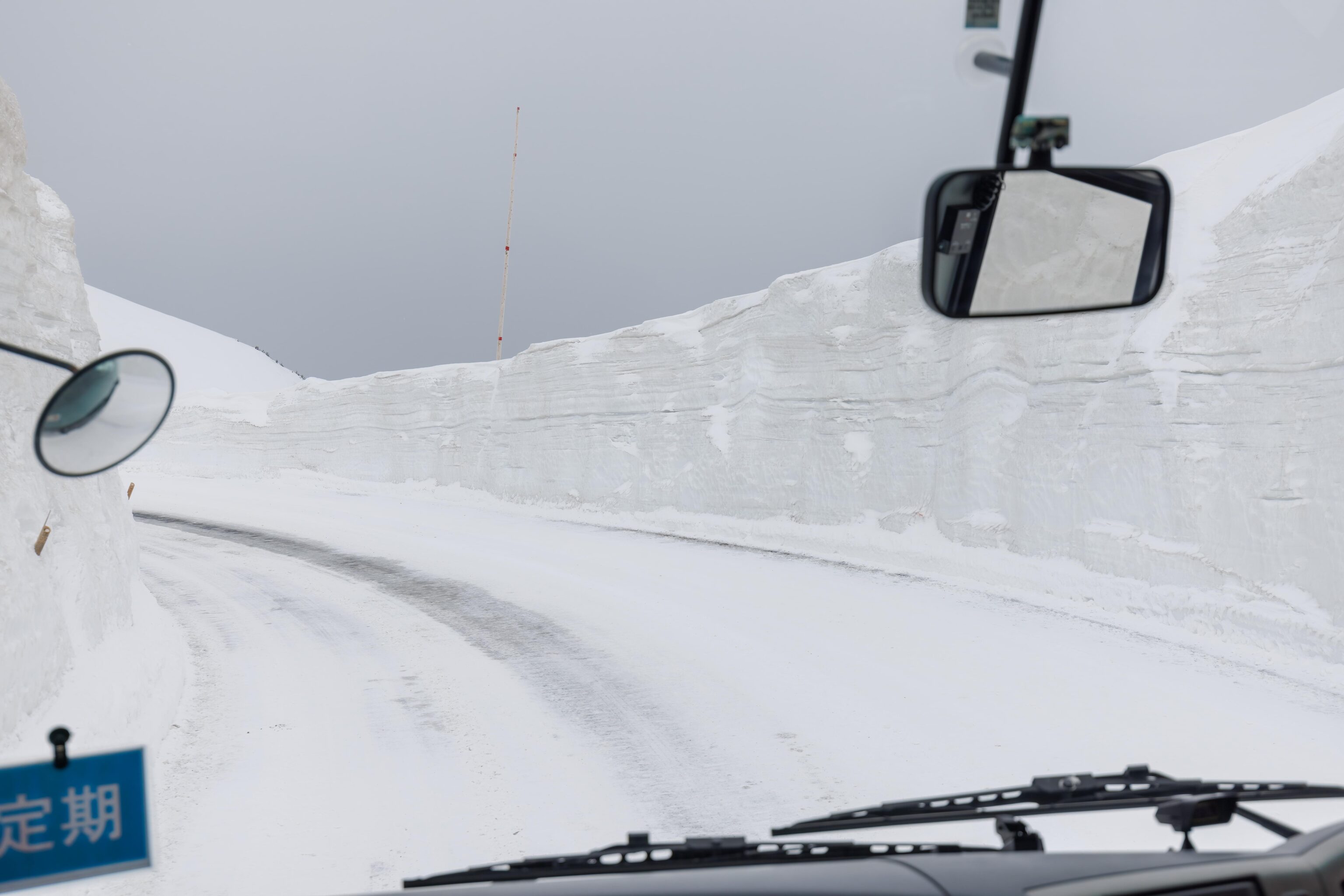
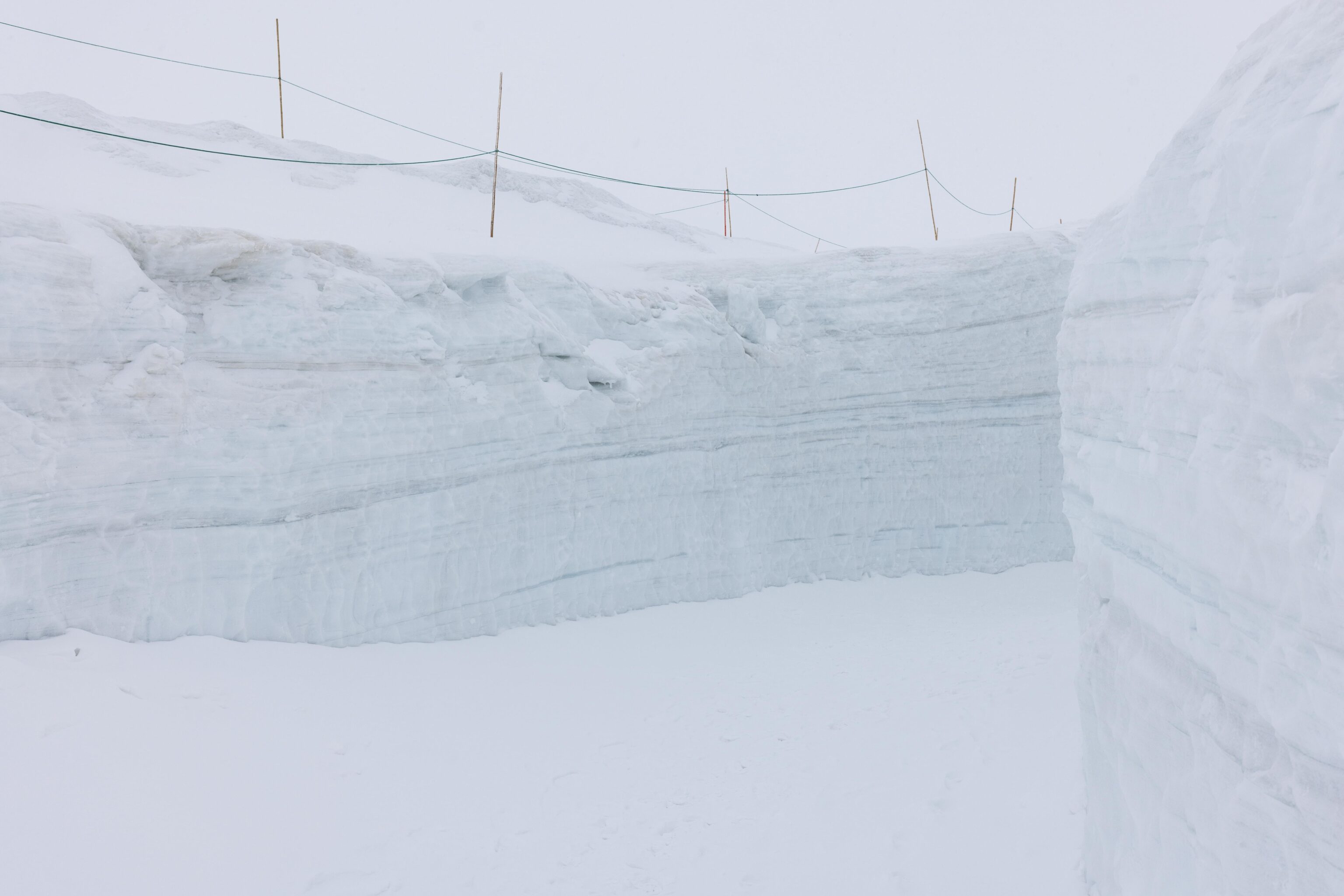
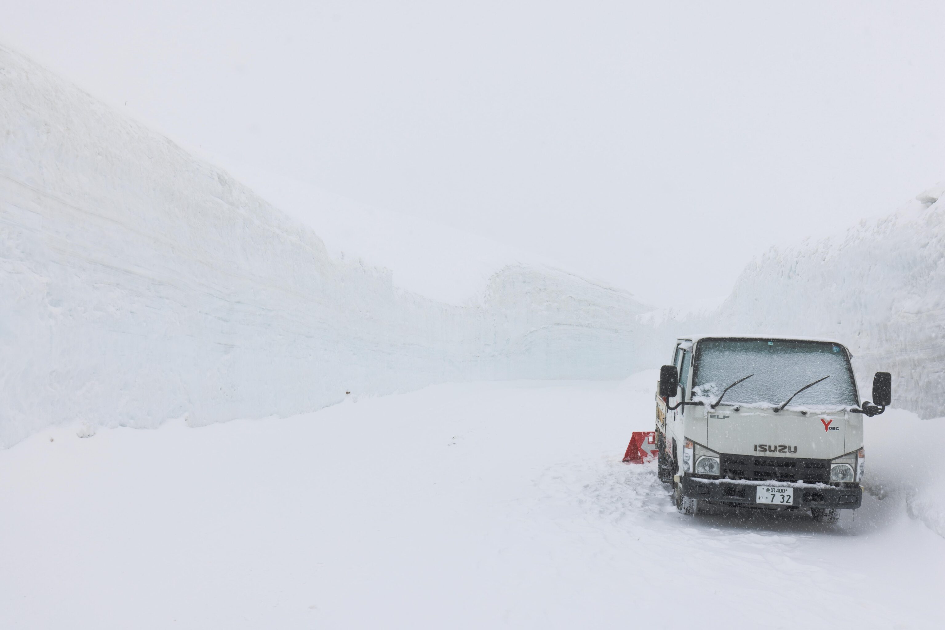
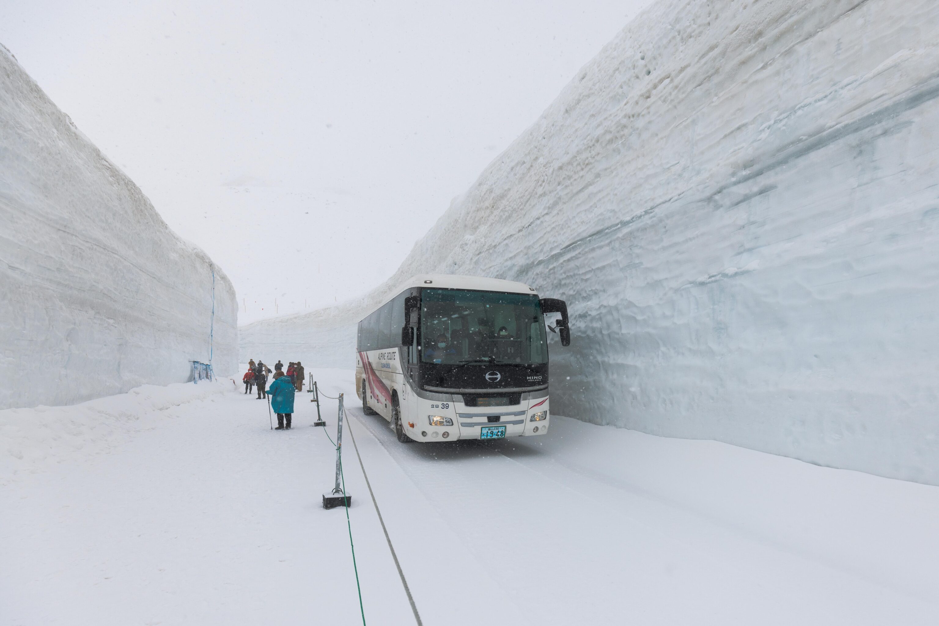
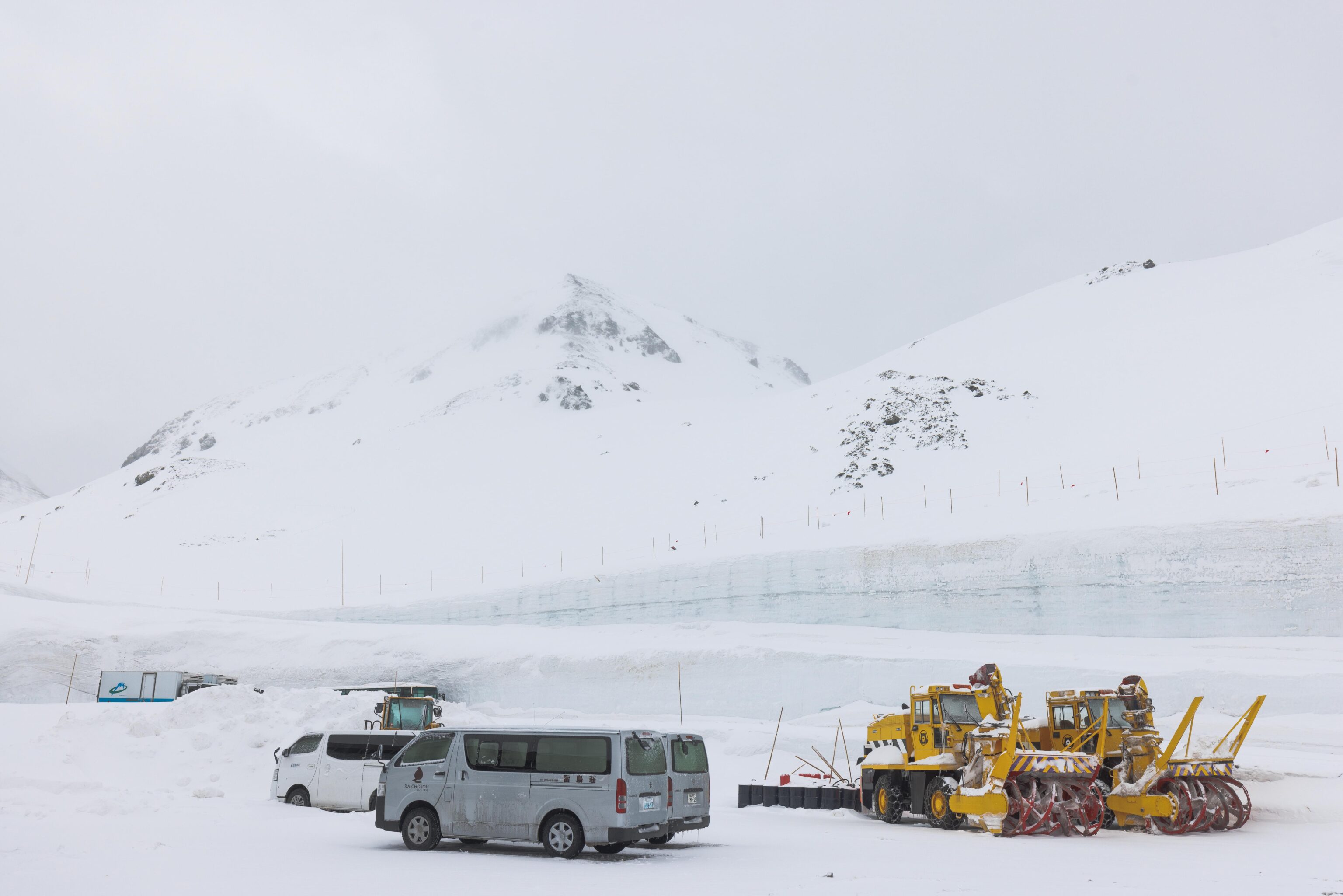
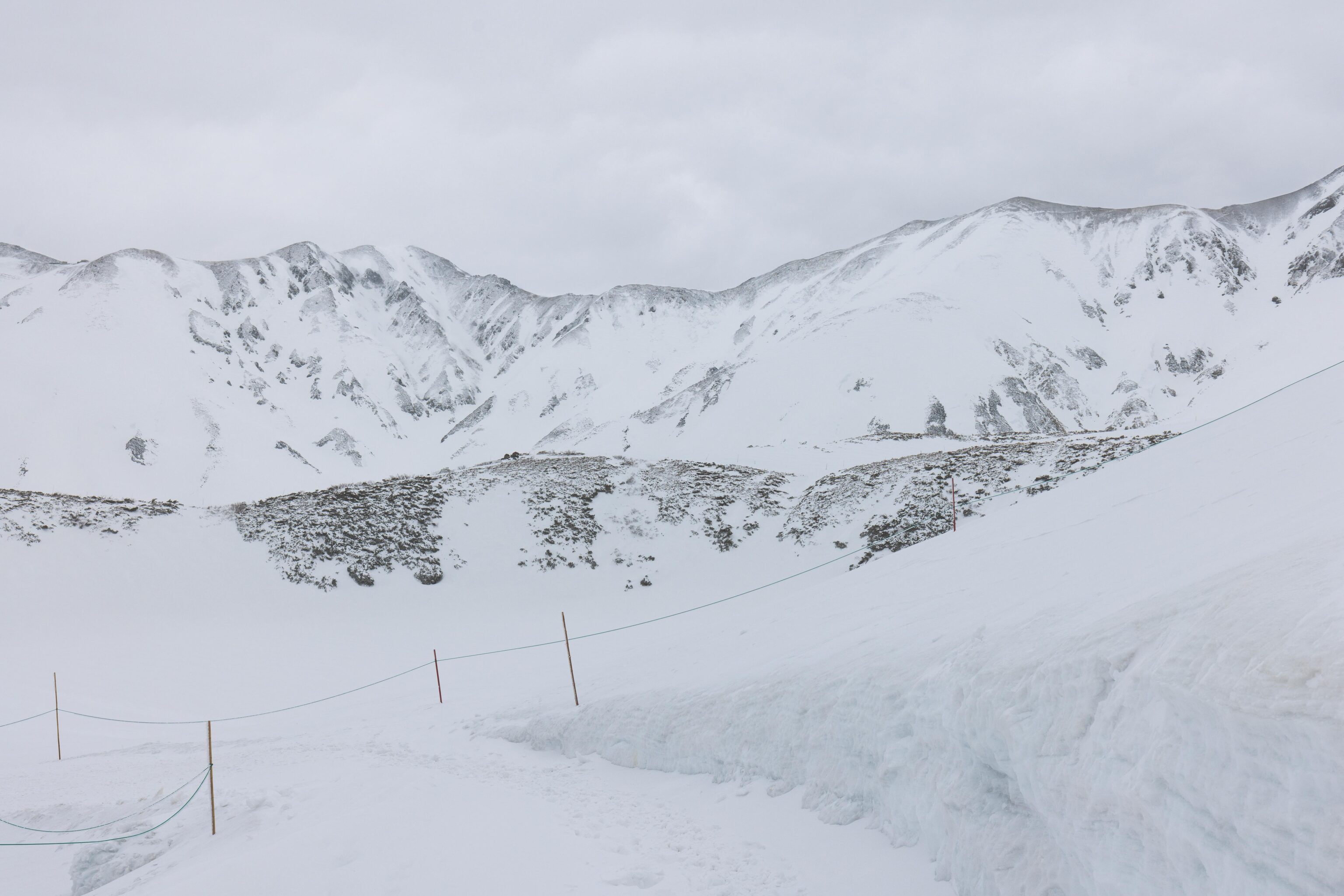
We soon reached the entrance to the snow corridor. This section of road has the highest snow accumulation along the route. It is one way to allow pedestrian access on the side of the road. We had to wait for a bus to pass in the opposite direction before proceeding.
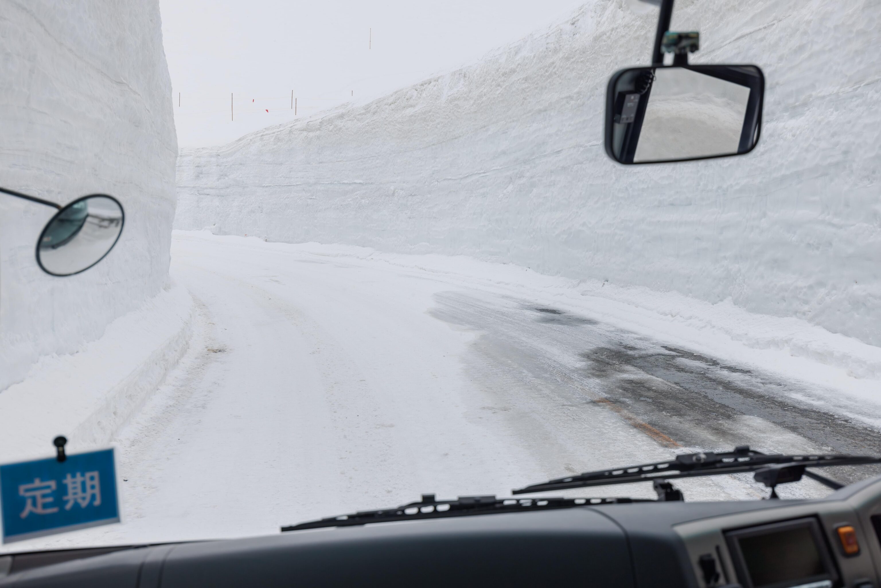
The snow in the snow corridor was measured at 13 meters, or 42 feet. That’s a lot of snow but much less than the roughly maximum 20 meters, or 66 feet, during a heavy snow year. The snow corridor was not yet open for the day so we didn’t see any pedestrians.
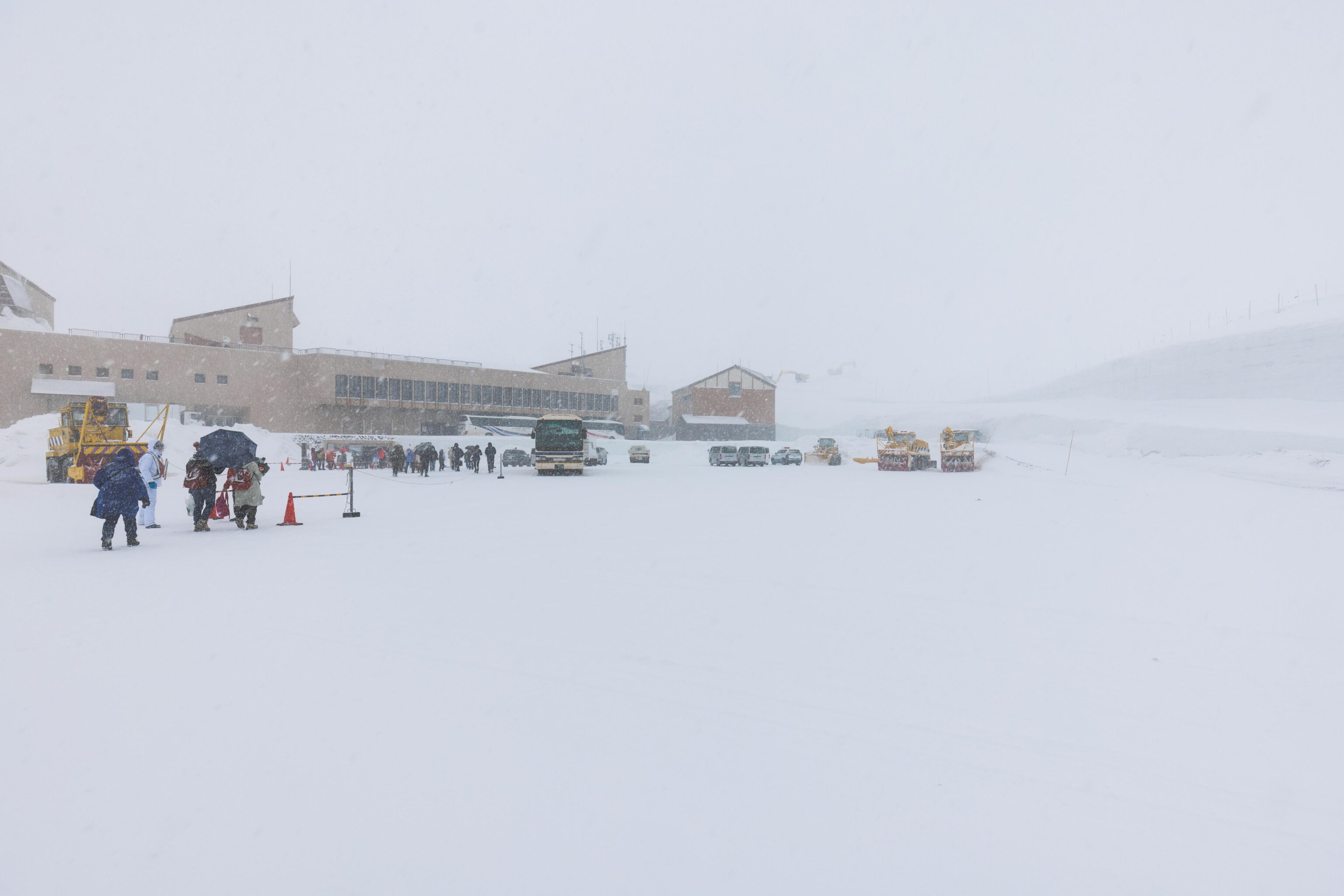
Upon arriving at Murodo Station, we headed up to the rooftop observation deck. Visibility was limited due to the worsening weather.
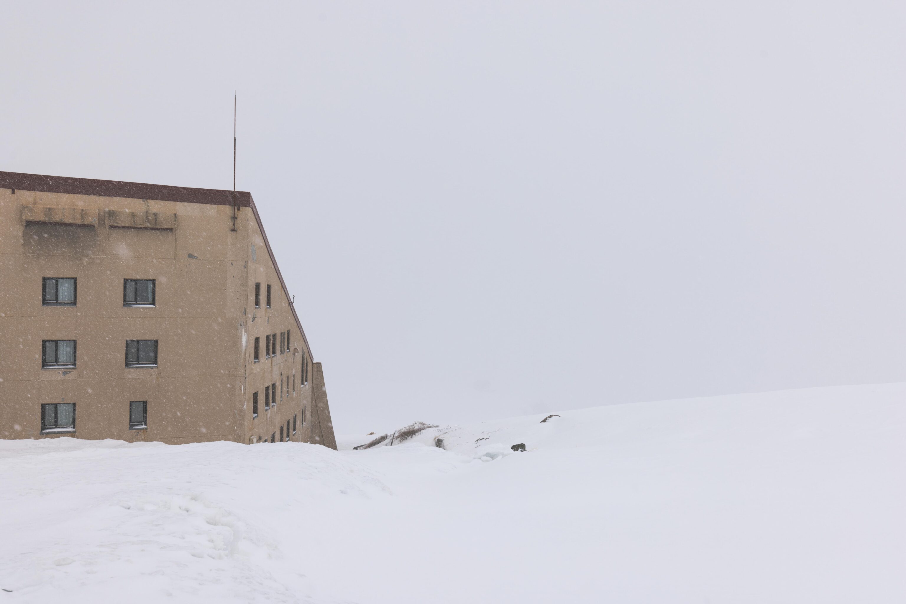
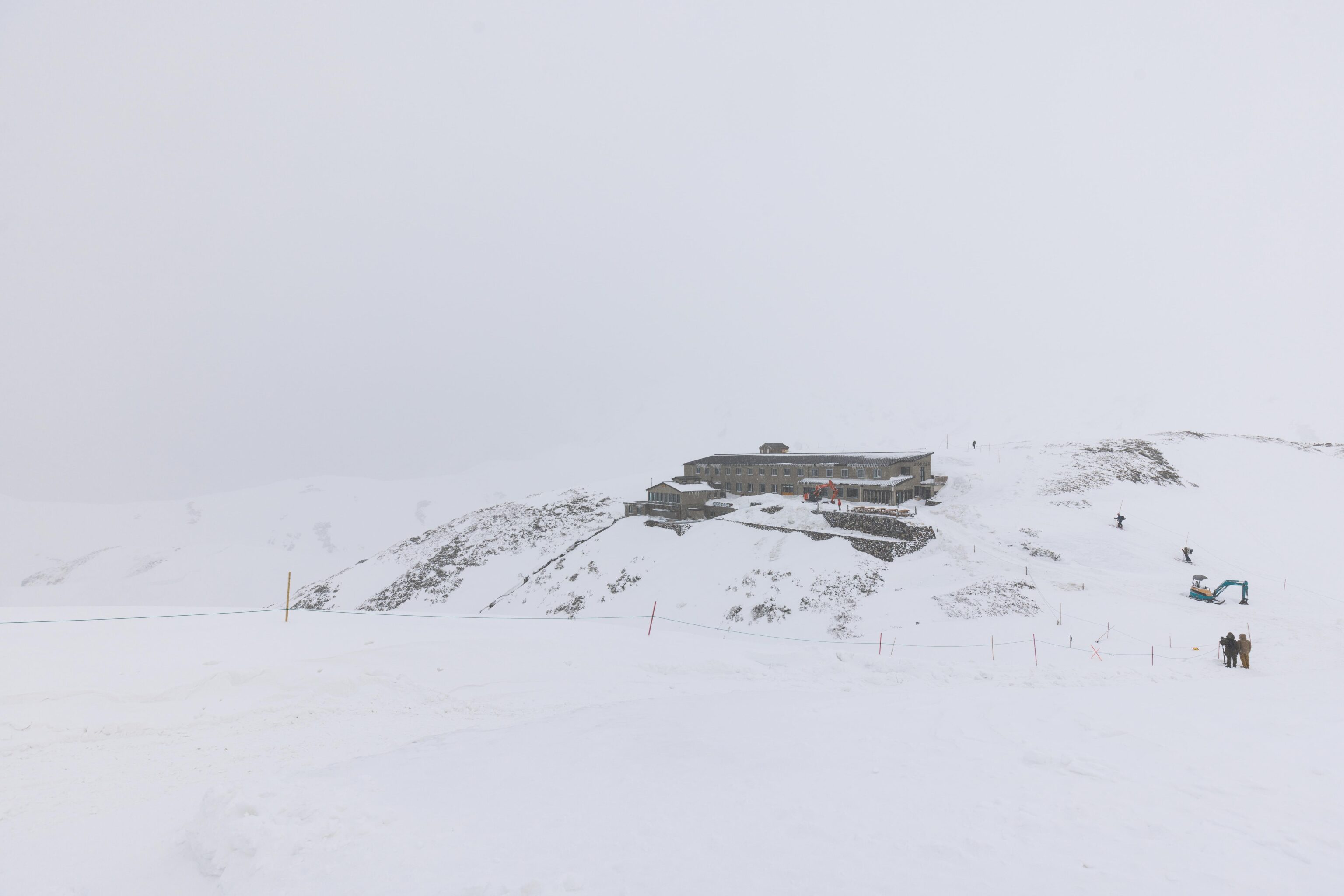
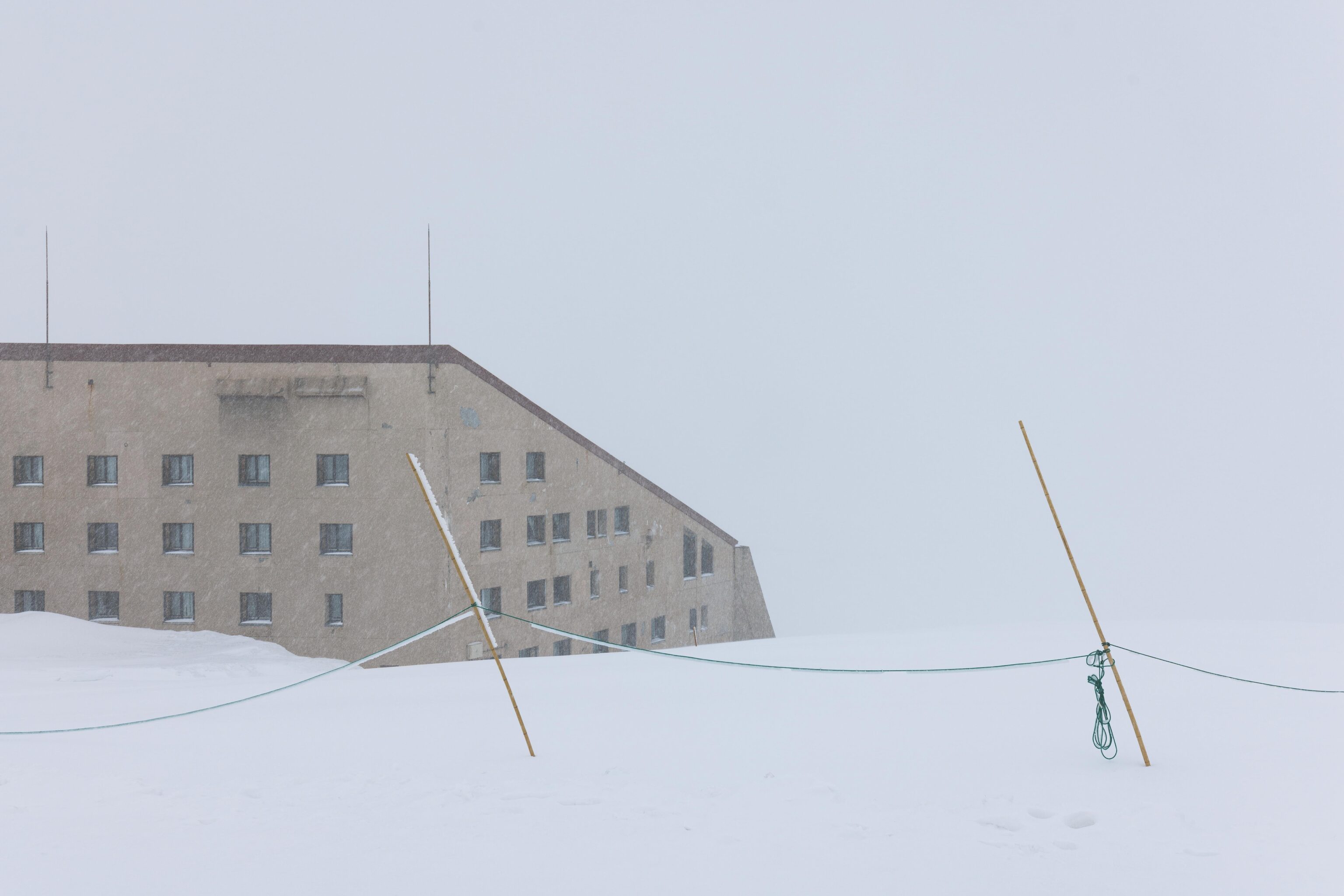
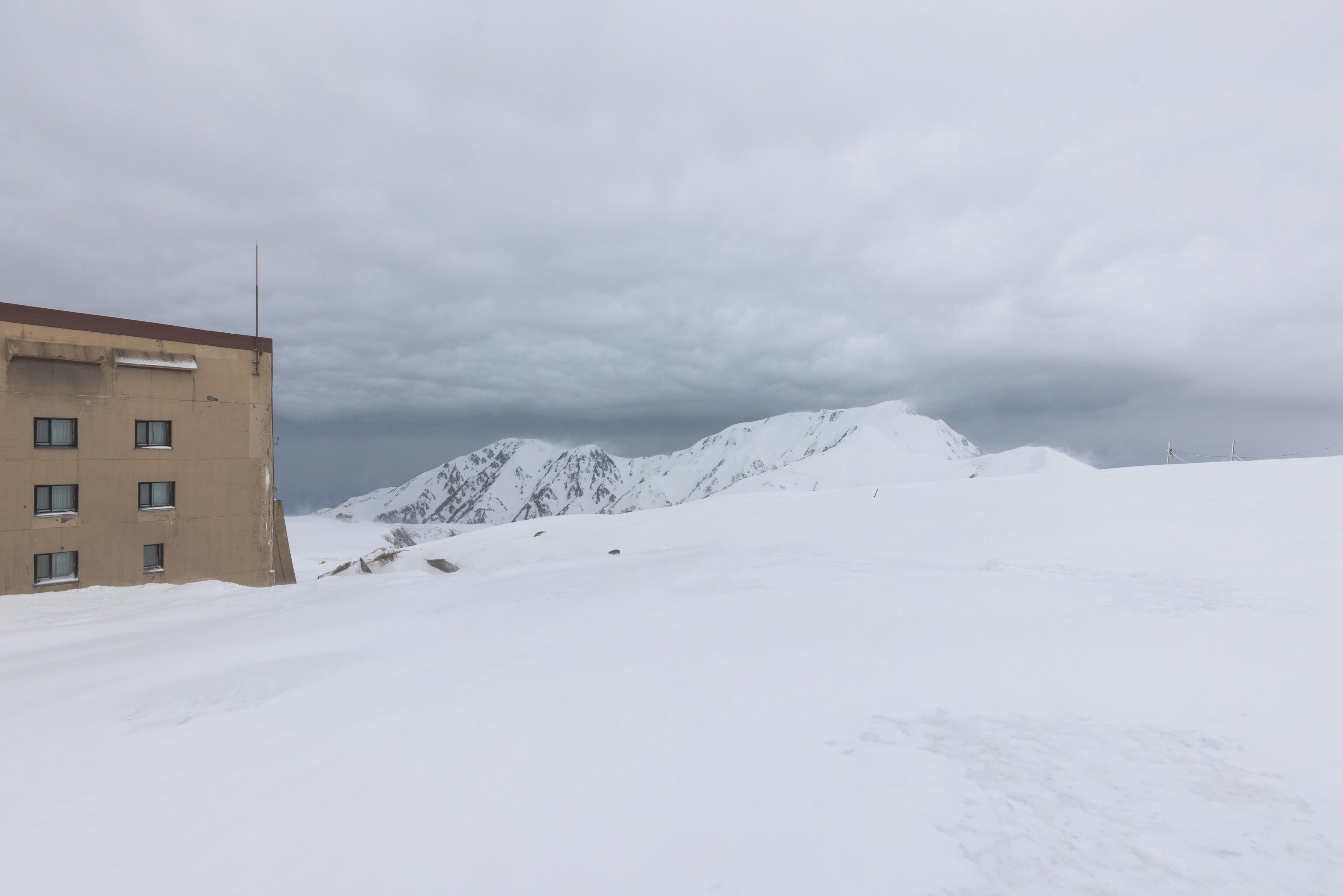
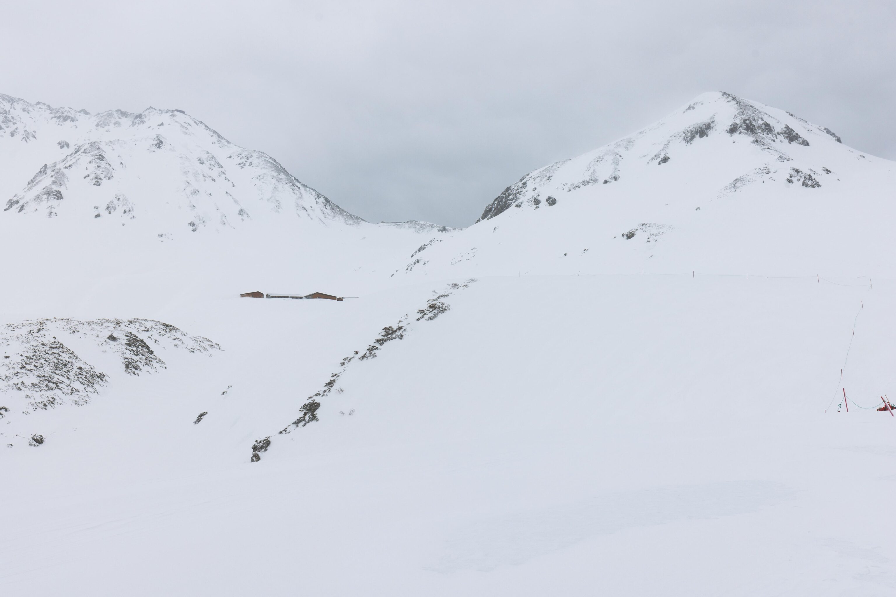
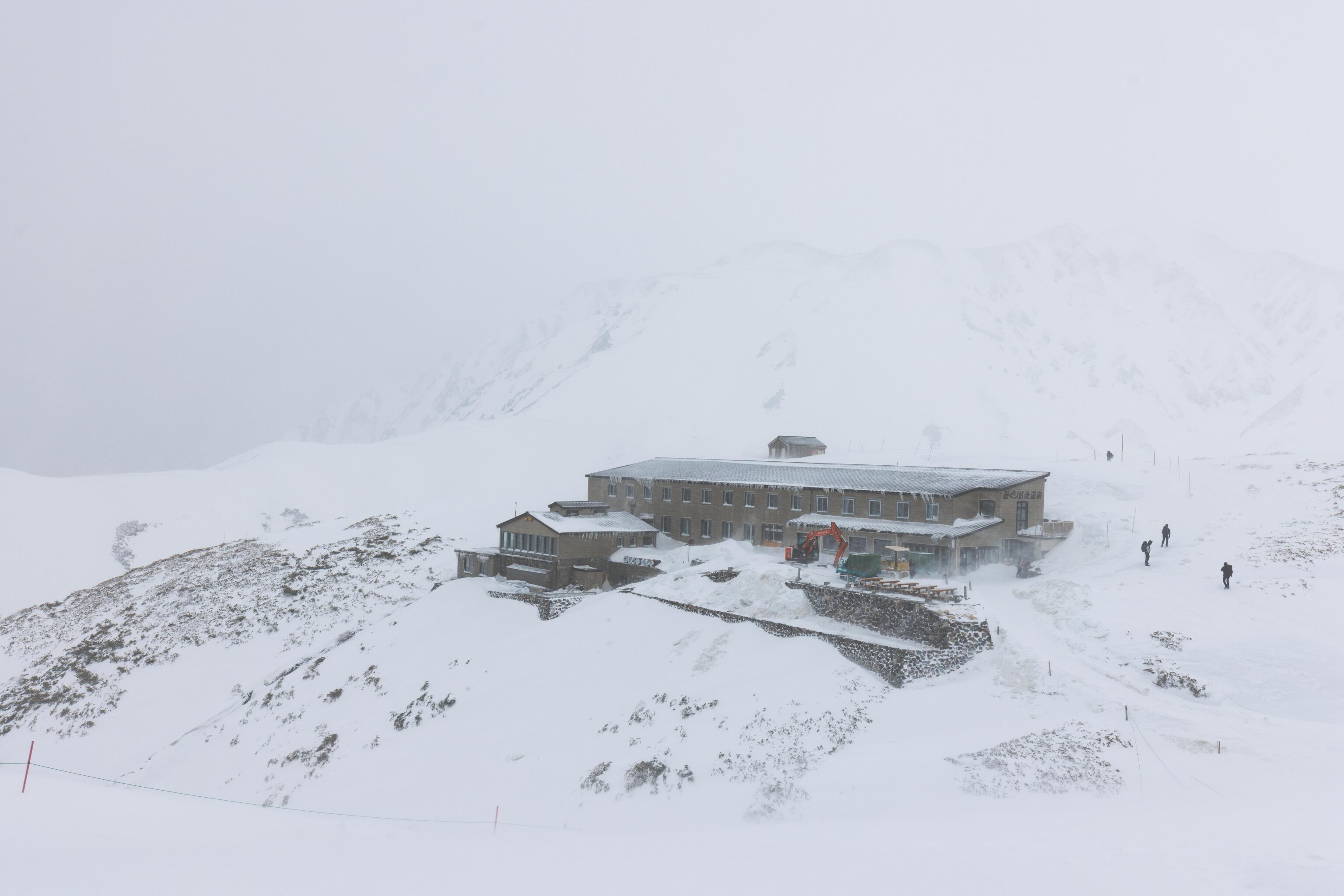
We decided to go for a hike outside. We strapped on our microspikes and headed towards the Mikurigaike Onsen, the highest onsen in Japan. The structure here is the Hotel Tateyama, part of Murodo Station.
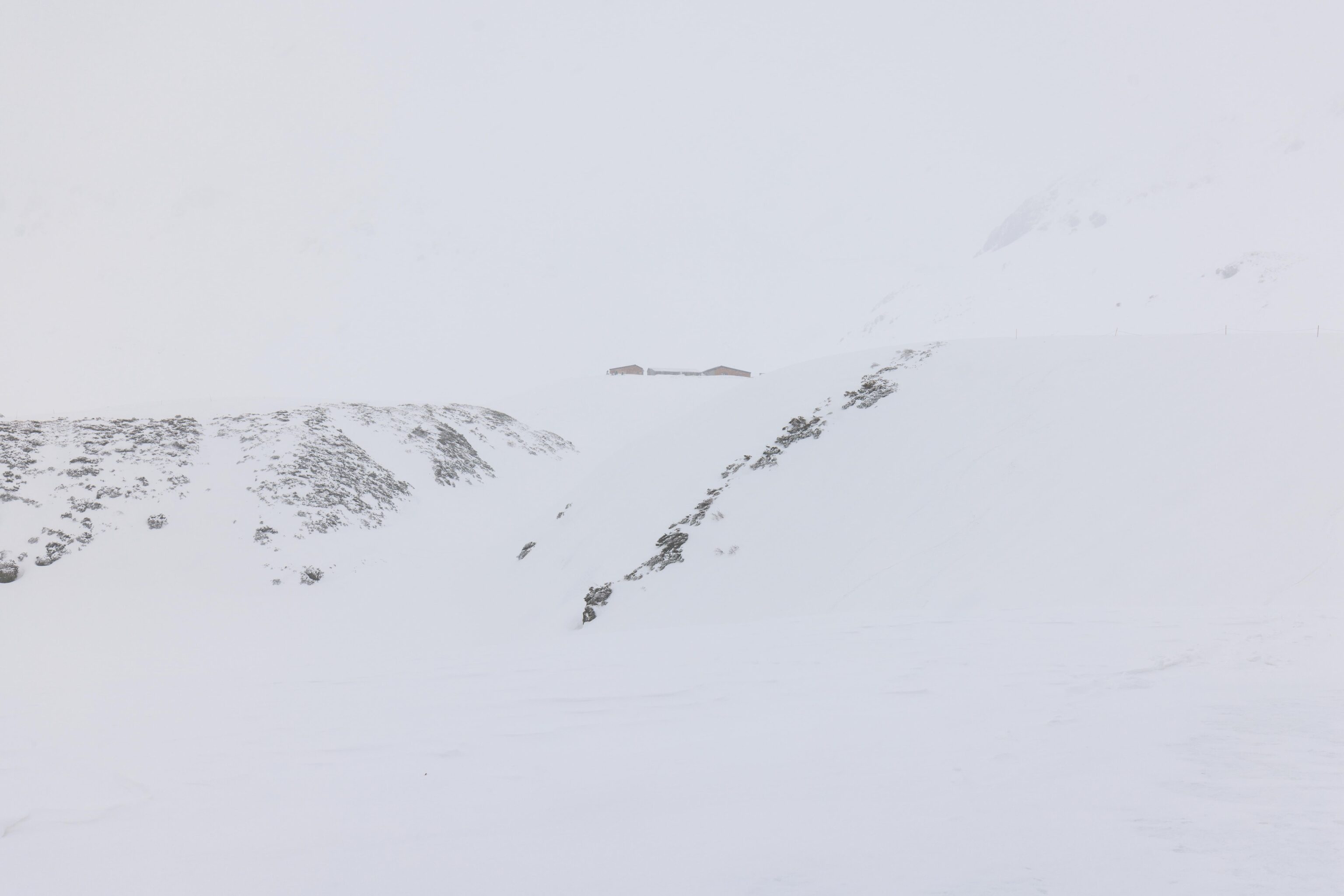
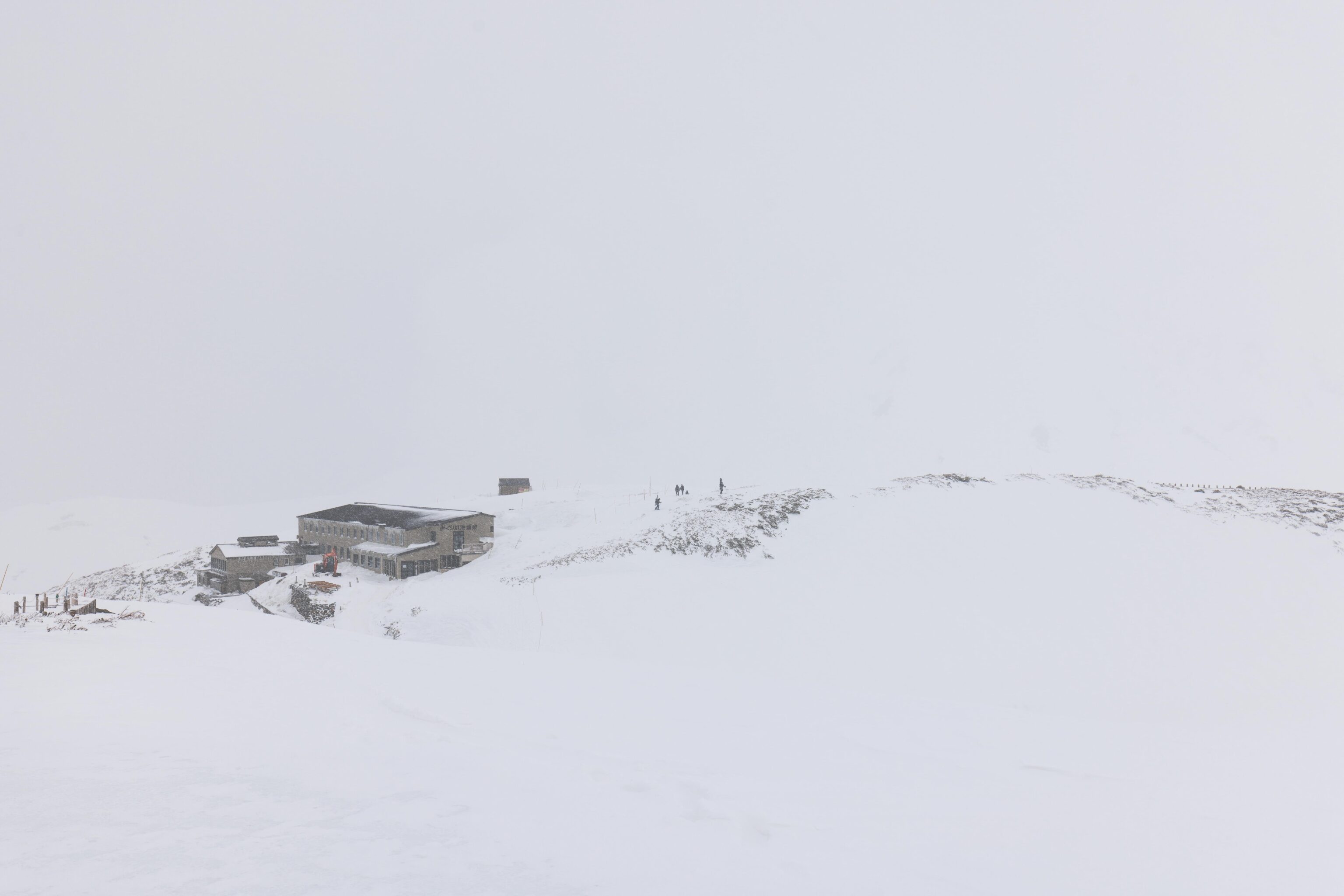
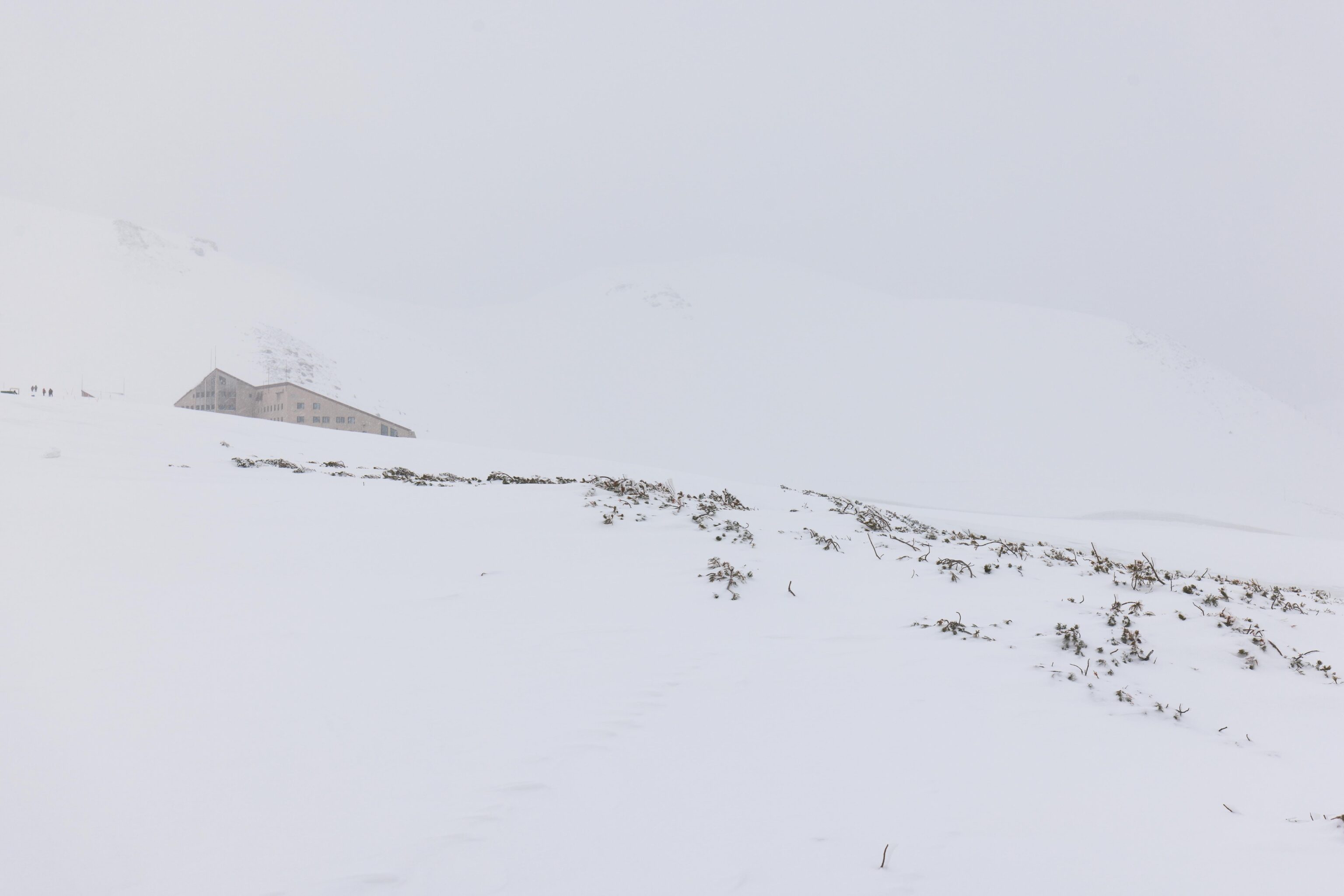
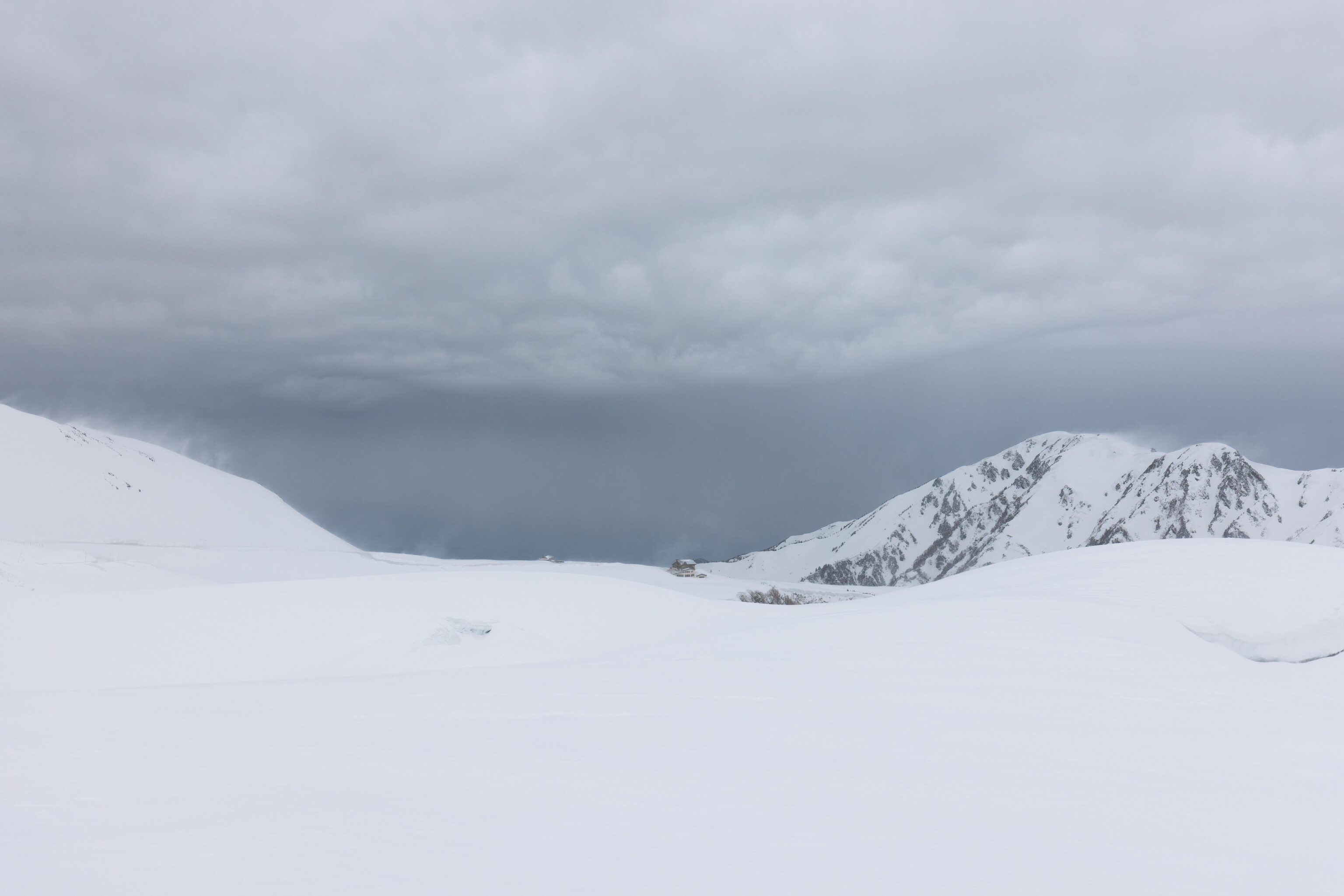
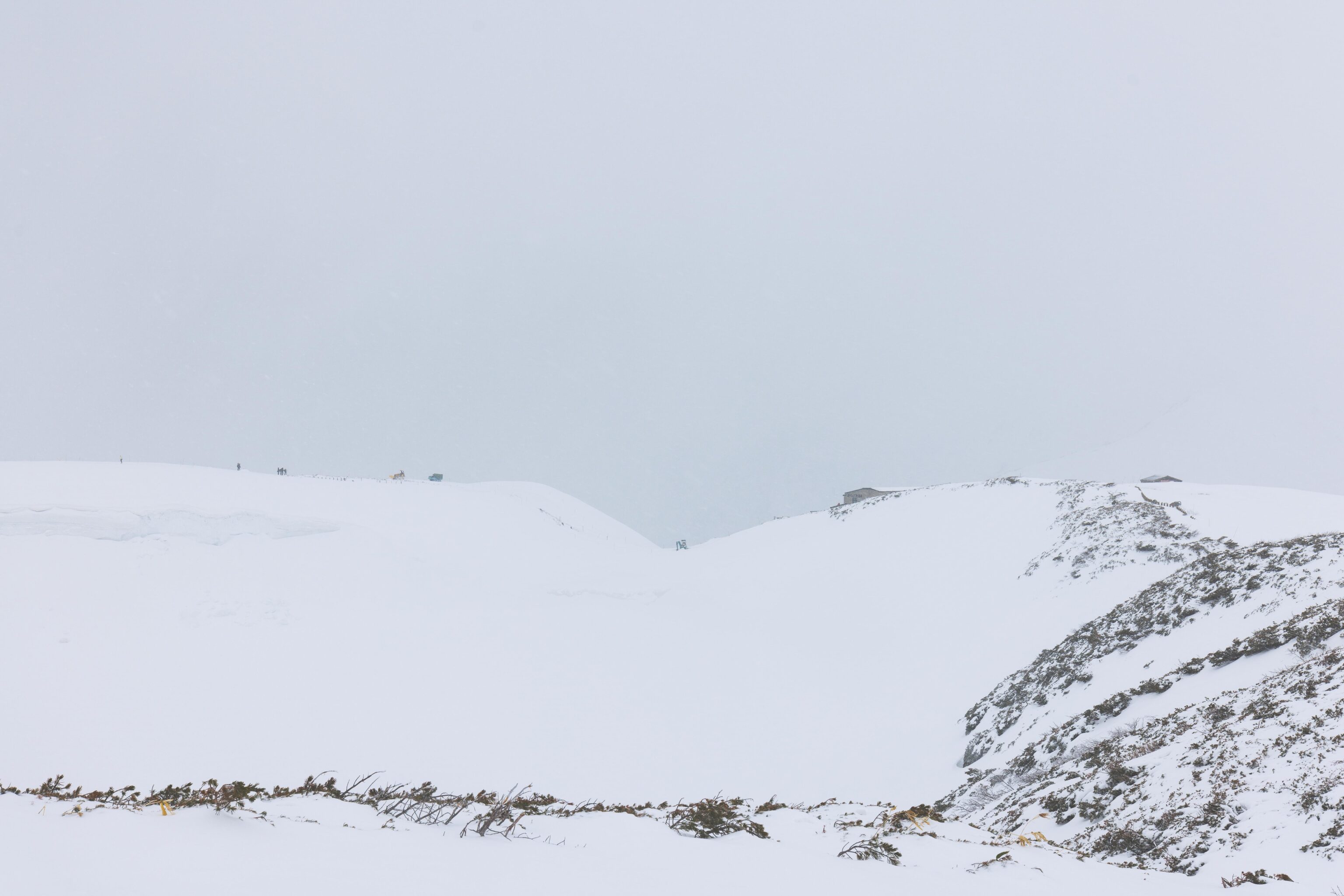
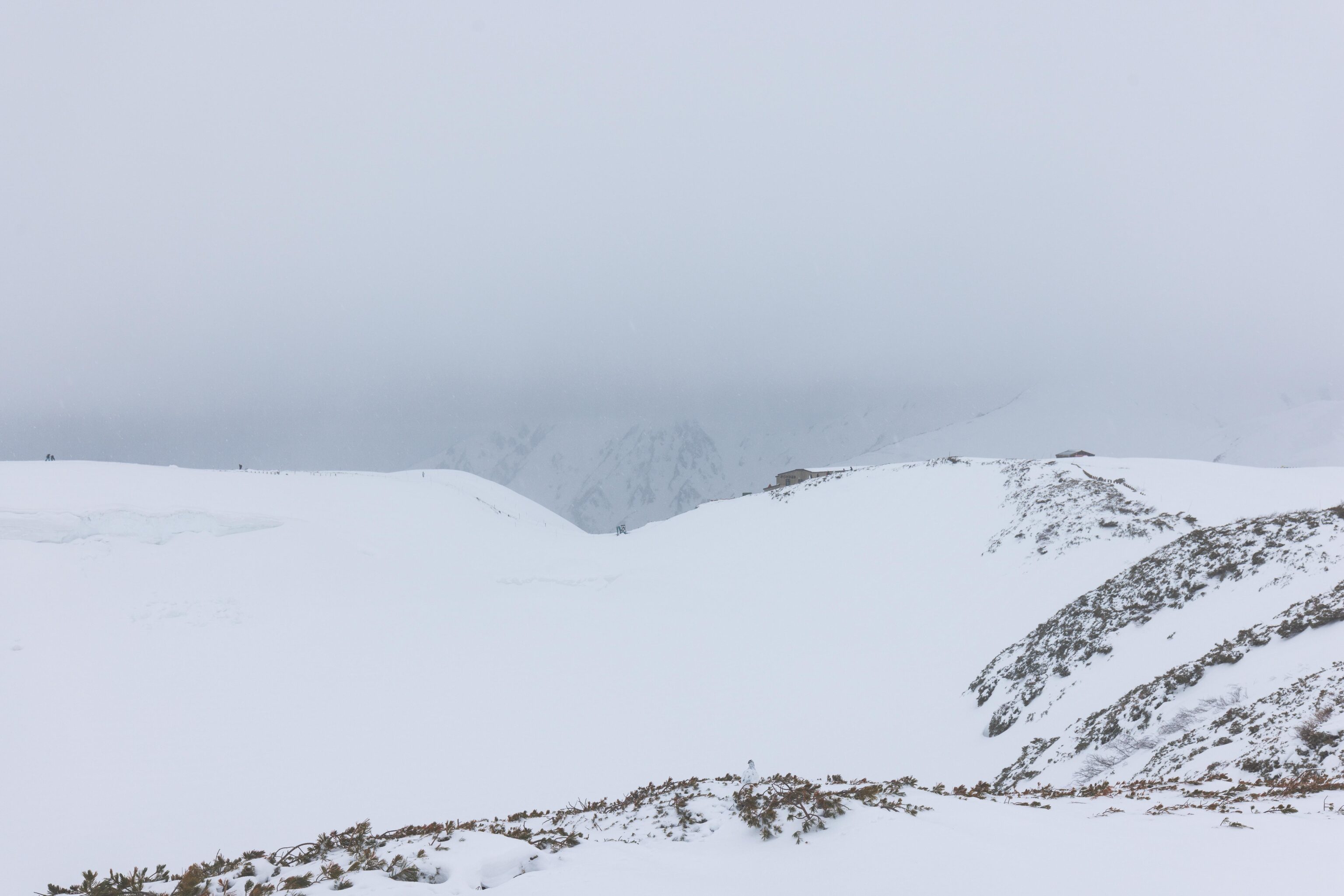
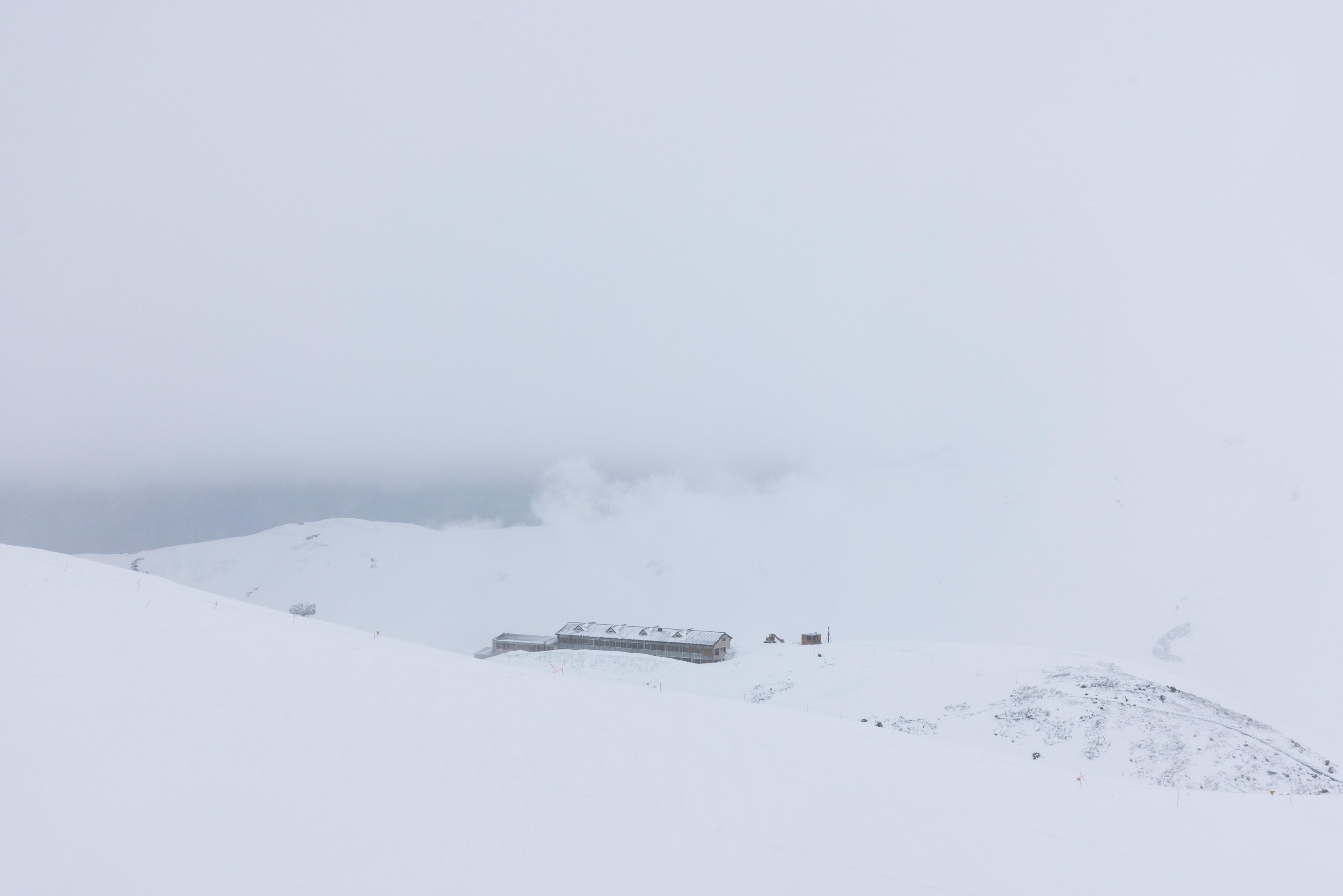
We really couldn’t see much at all as we started to walk by the Mikuriga-ike, a large pond in the center of a volcanic caldera. It is somewhere on the left below the exposed rocks and foliage. Tateyama Murodou Sanso, a hotel, is visible in the distance. It can be accessed by hiking through the snow from Murodo Station.
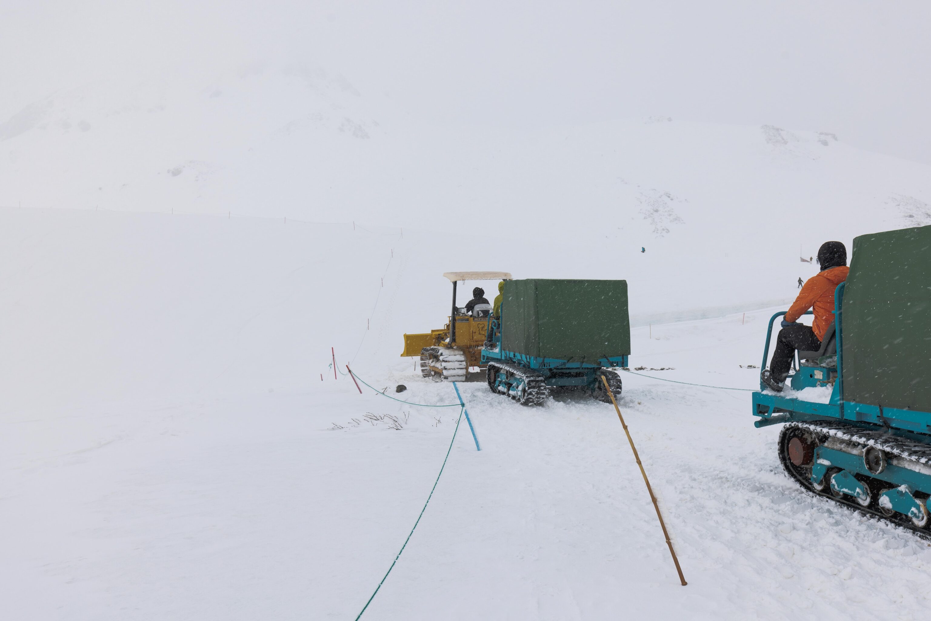
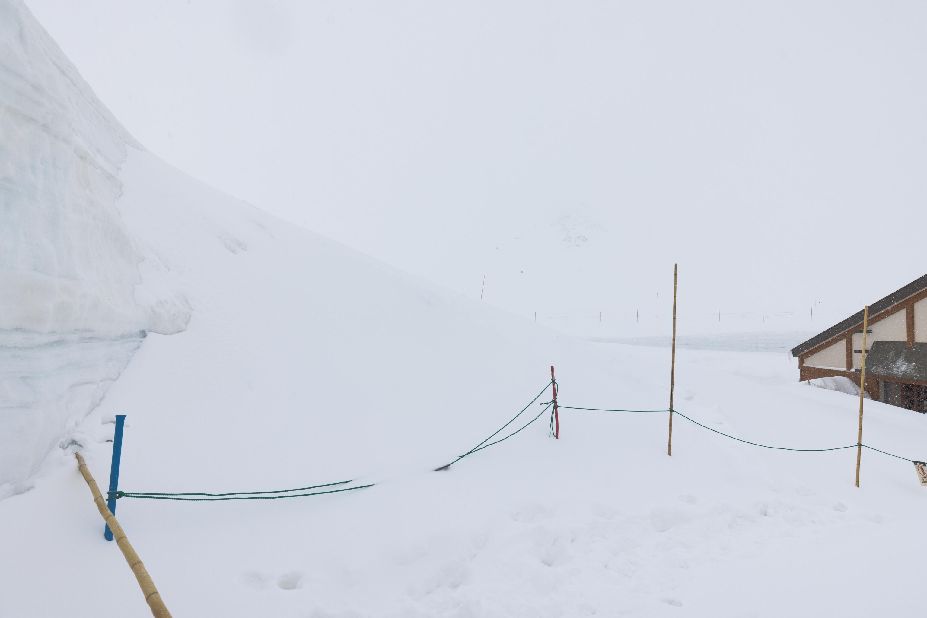
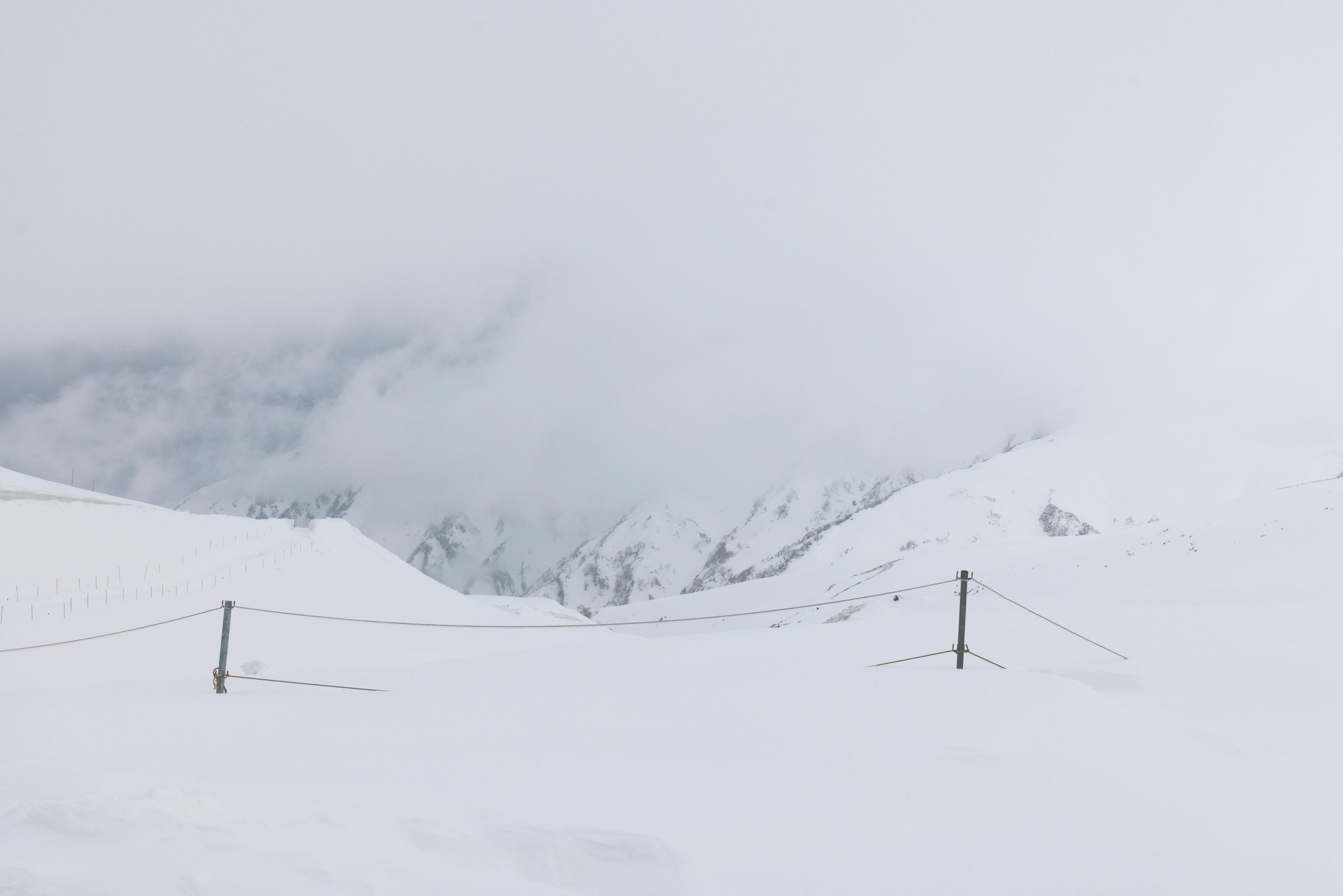
A convoy of three tracked vehicles passed by as we were hiking. This part of the winter hiking trail is well marked with ropes and poles.
Our destination soon became visible in front of us. The path isn’t flat so it was not visible from Murodo Station.
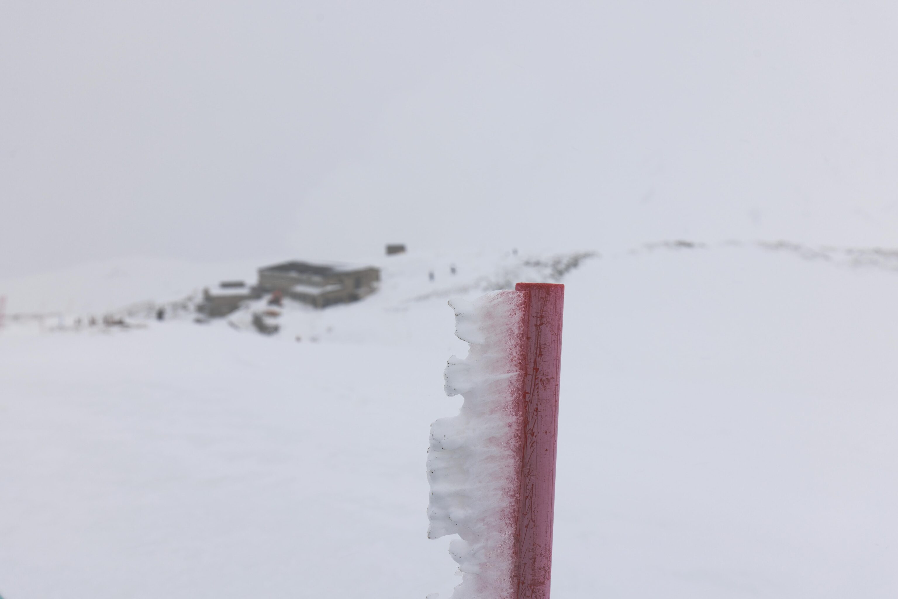
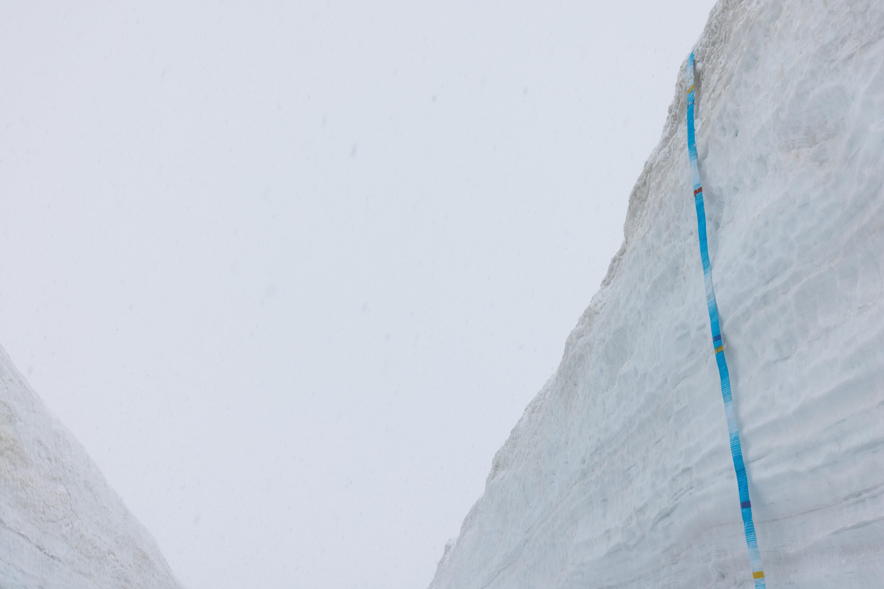
Wind blown snow accumulation on one of the poles that marks the path.
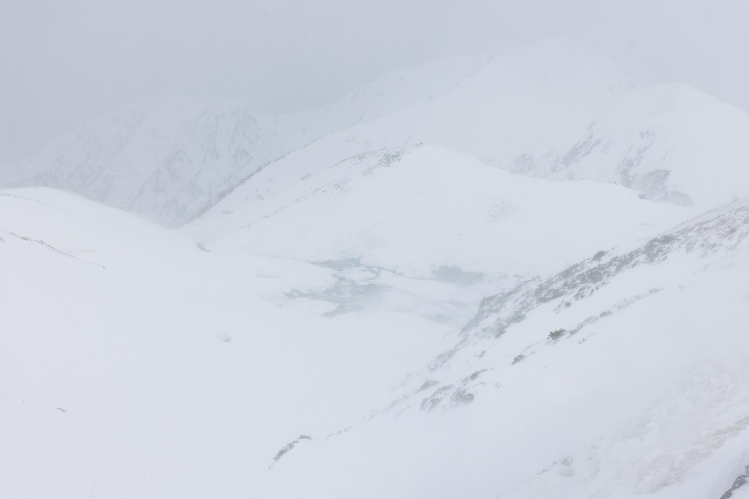
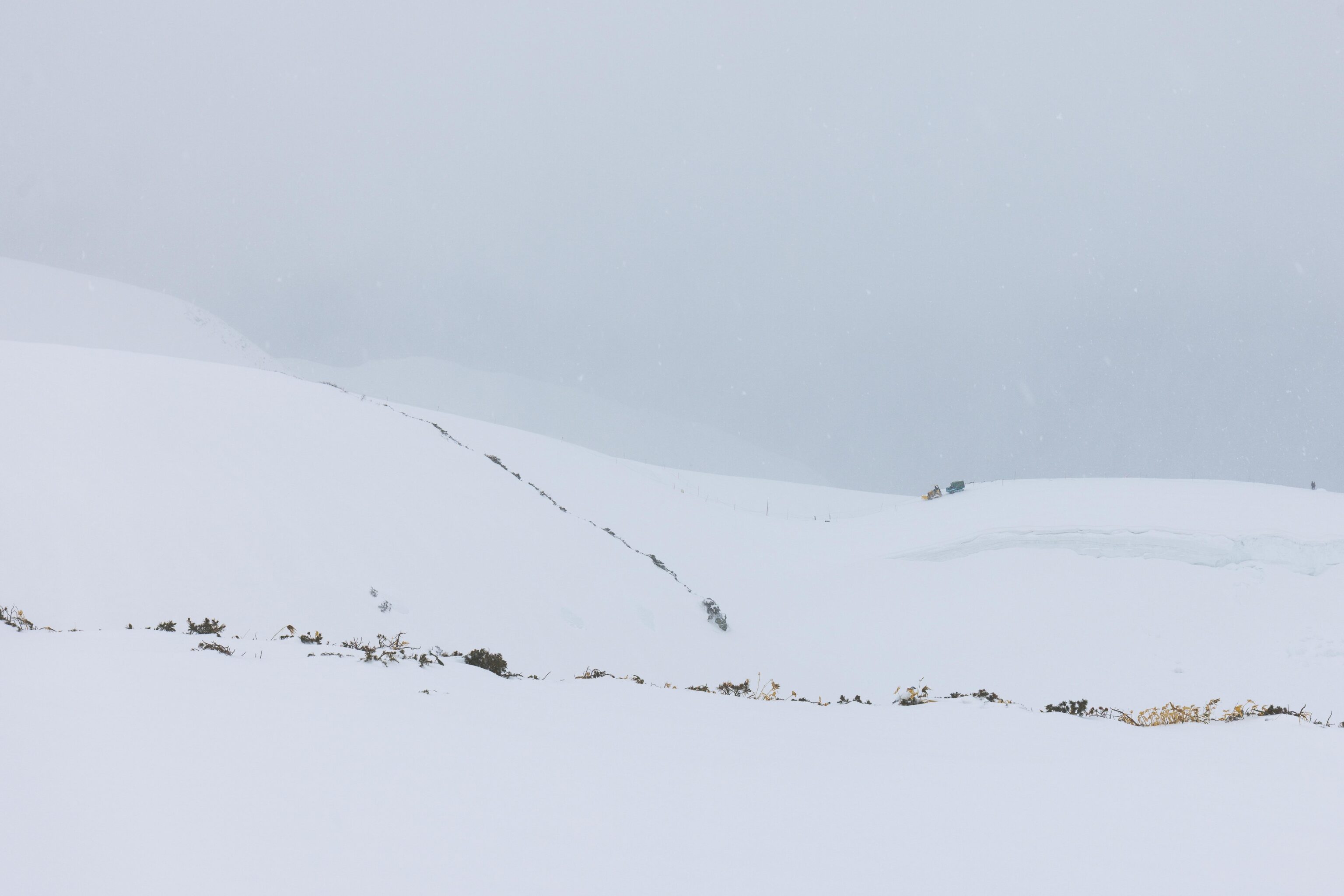
The view, roughly to the west. Not much visible out there at all other than the outline of some nearby terrain.
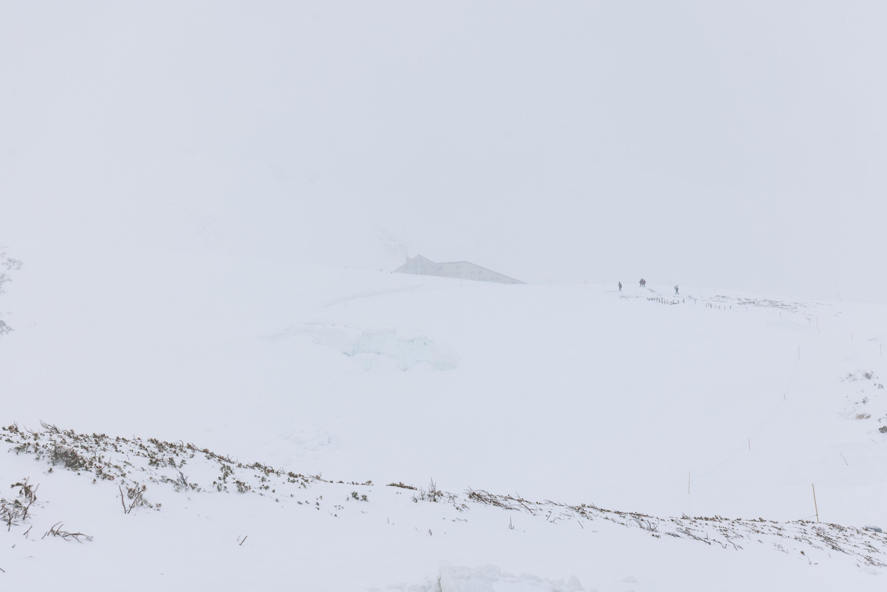
The Hotel Tateyama was visible from this point behind us. An outline of the mountains behind it are just barely visible.
One last steep slope down, and a shorter one going up, were all that remained to get us to our destination.
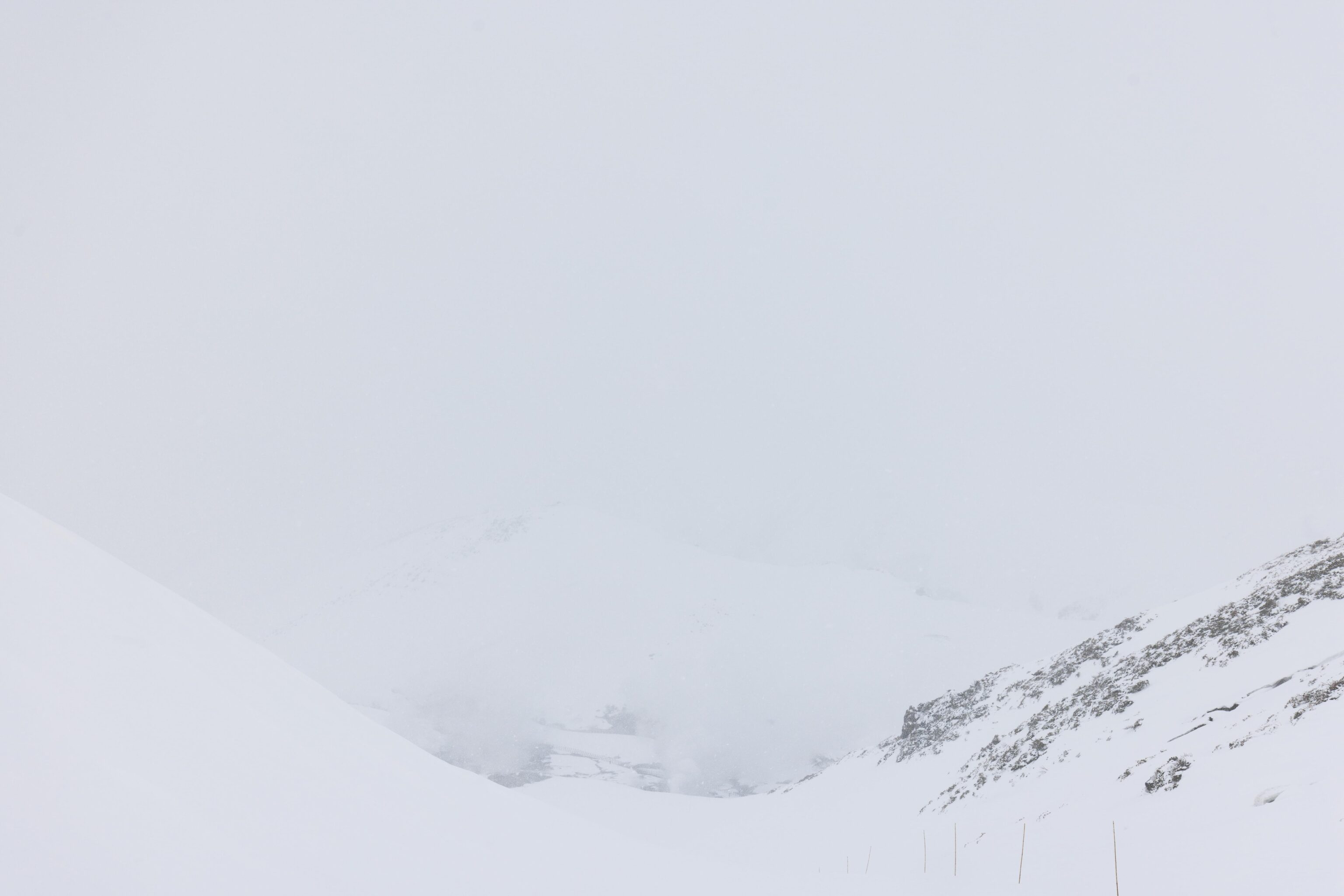
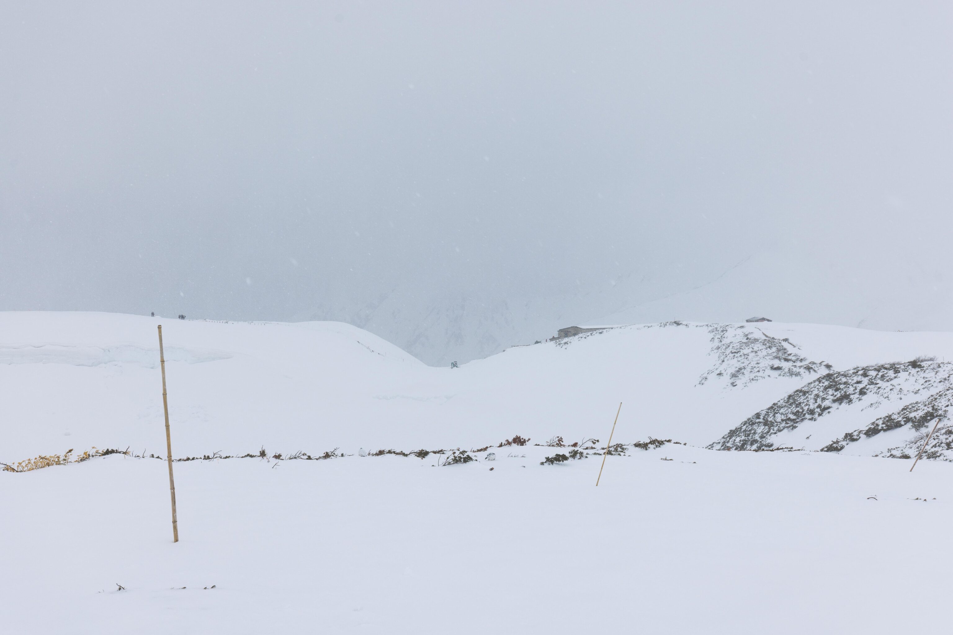
The lowest point on the trail was essentially in a small valley that led down to Jigokudani, or hell valley. This term is used to describe thermal regions and is used as a name for various places in Japan. The Jigokudani is no longer accessible due to dangerous volcanic gasses. Today, it was barely visible through the weather.
After briefly stopping at the onsen to rest, we started walking back to Murodo Station. The weather was getting worse but there were still a few people walking in both directions.
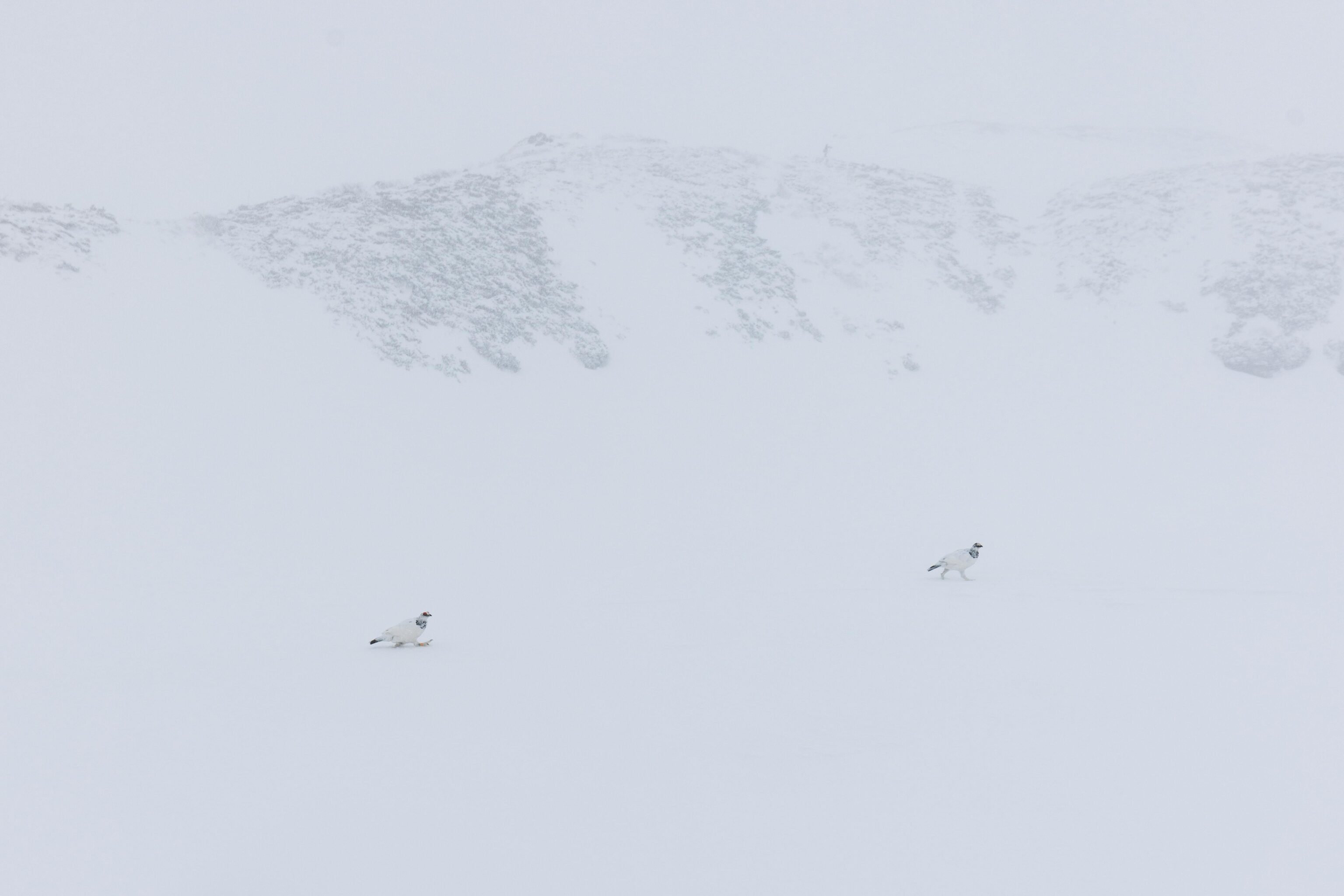
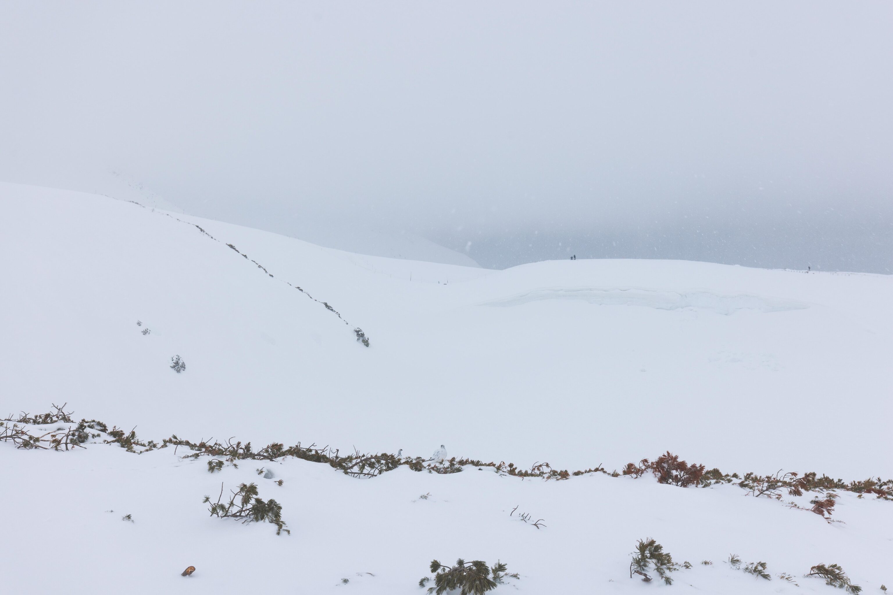
As we walked by the invisible Mikuriga-ike, we saw these two Raicho, translating to Thunderbird in English. The formal name of the species is rock ptarmigan, lagopus muta. It is said that they are more commonly seen during bad weather as it is a defense mechanism to being hunted by larger birds and animals. This species changes feather colors in the winter to blend in with the snowy environment. They are rock-like in color during the summer.
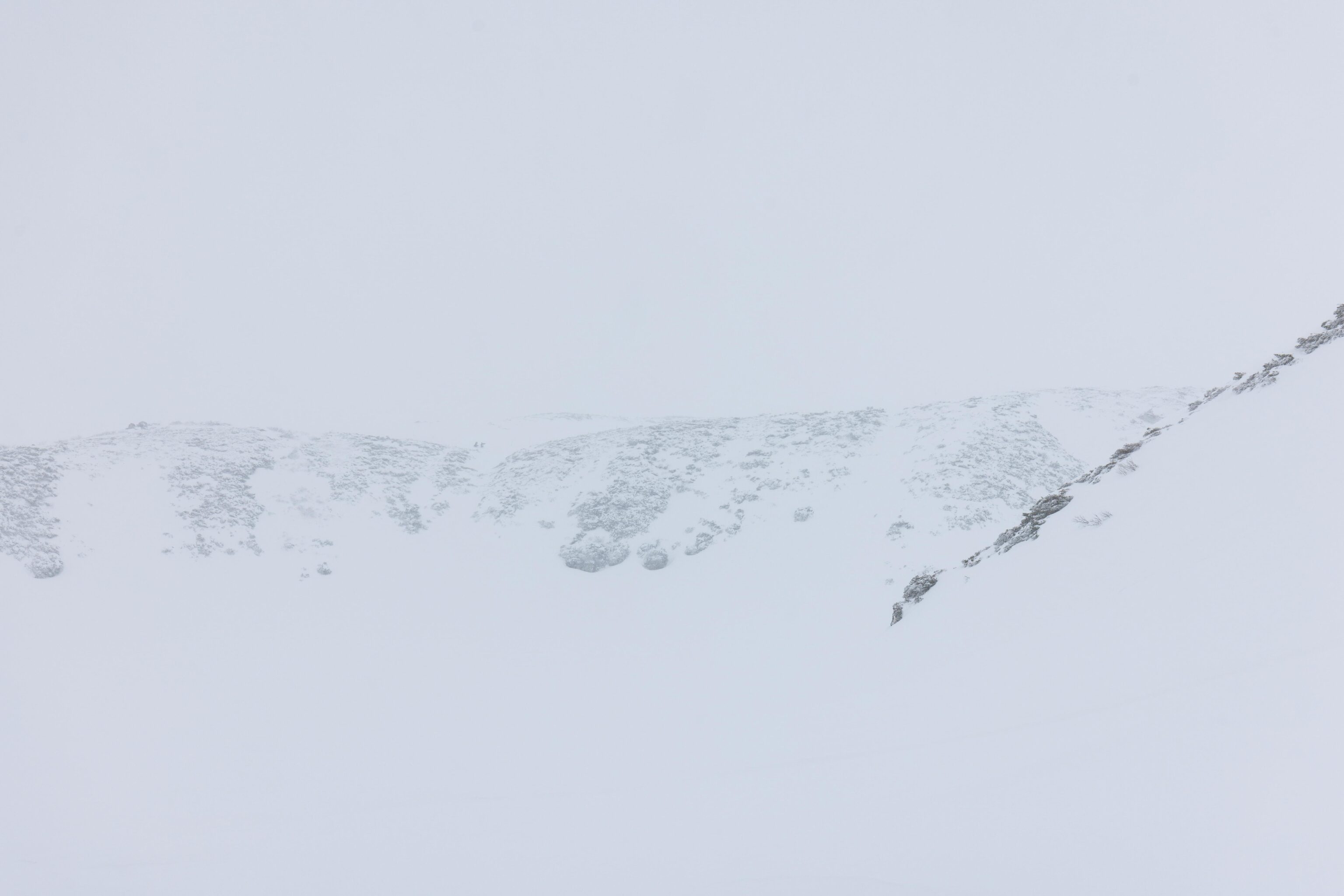
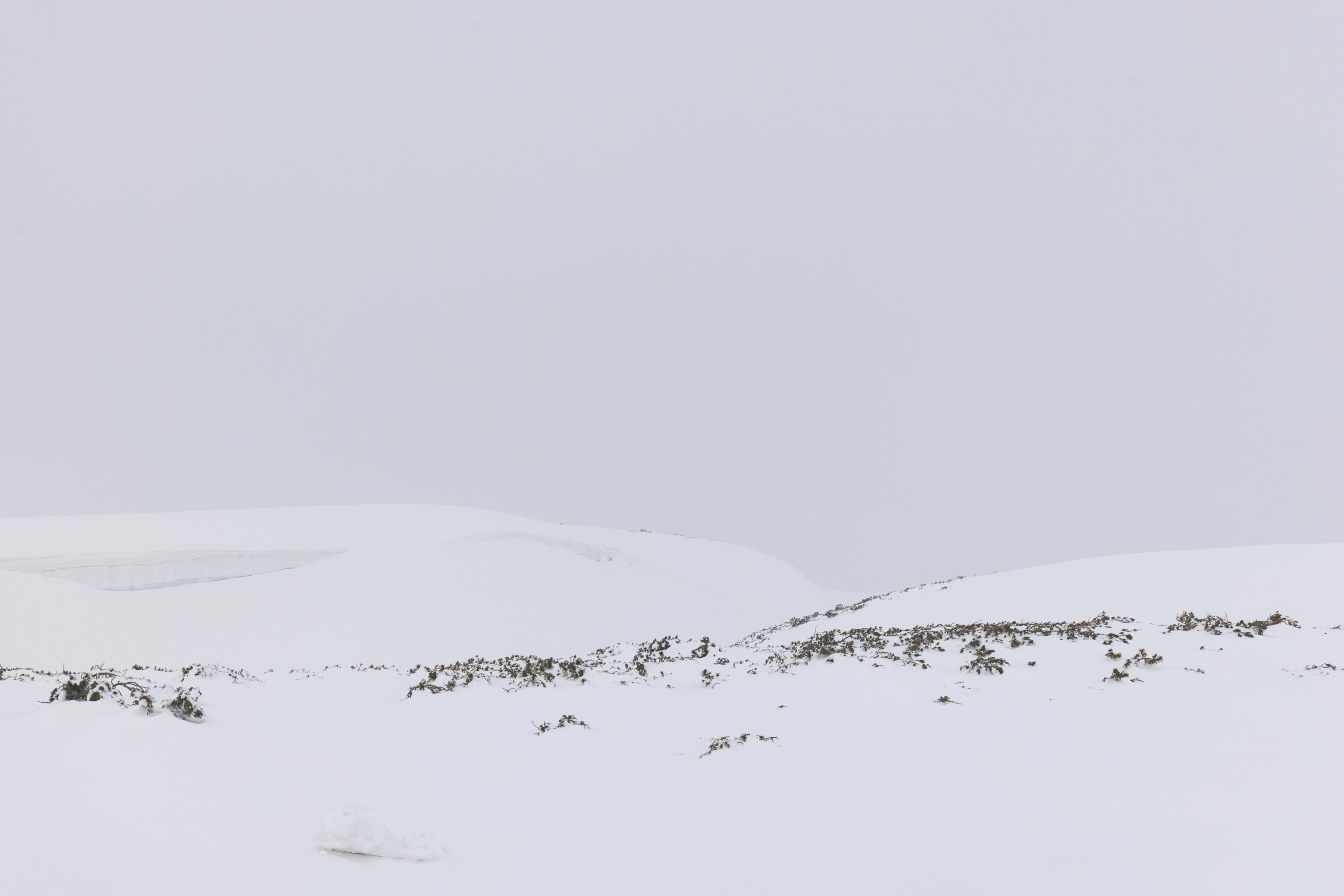
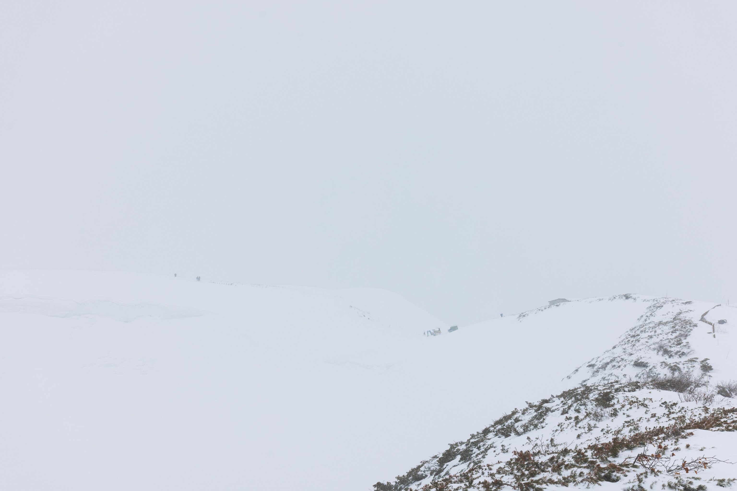
Not much visible in the distance as we walked up another hill.
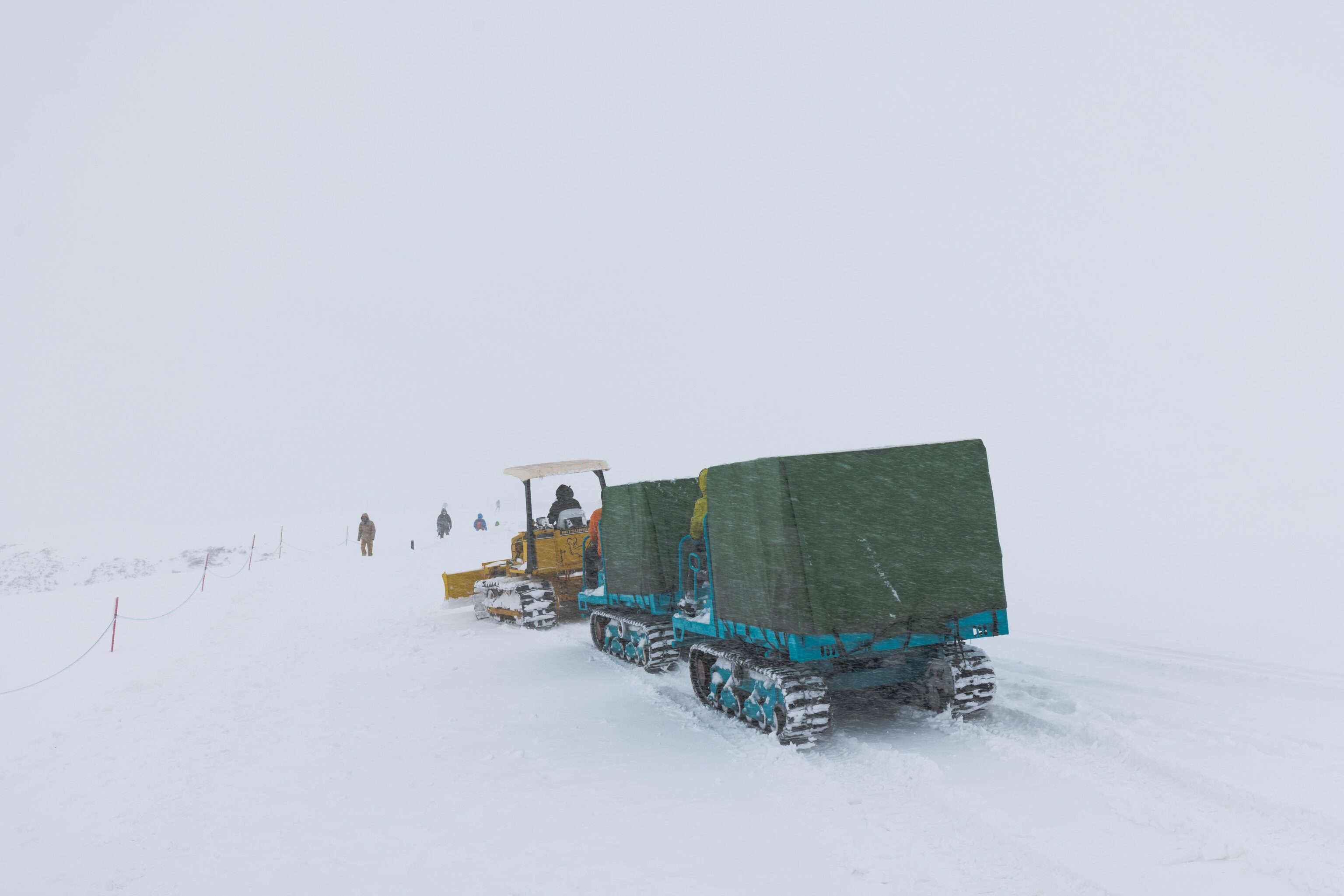
We saw the three vehicle convoy again.
Finally, back to Hotel Tateyama and Murodo Station! Our little round trip walk took about an hour.
There was a smaller pedestrian sized snow corridor next to the station. We briefly walked through it.
The path ends at this roped off area.
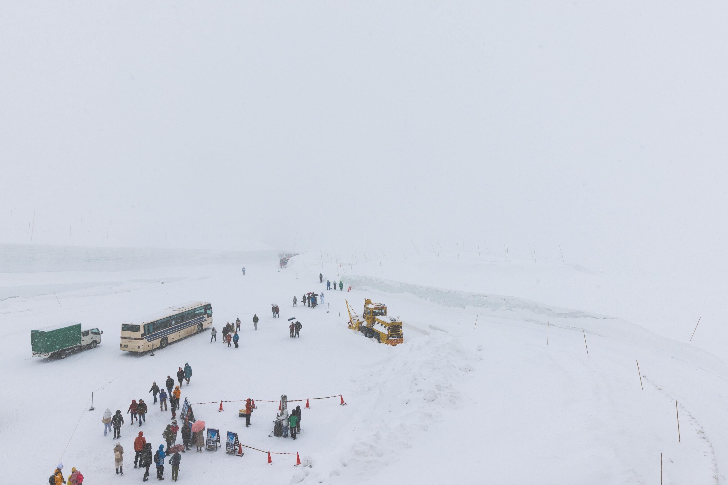
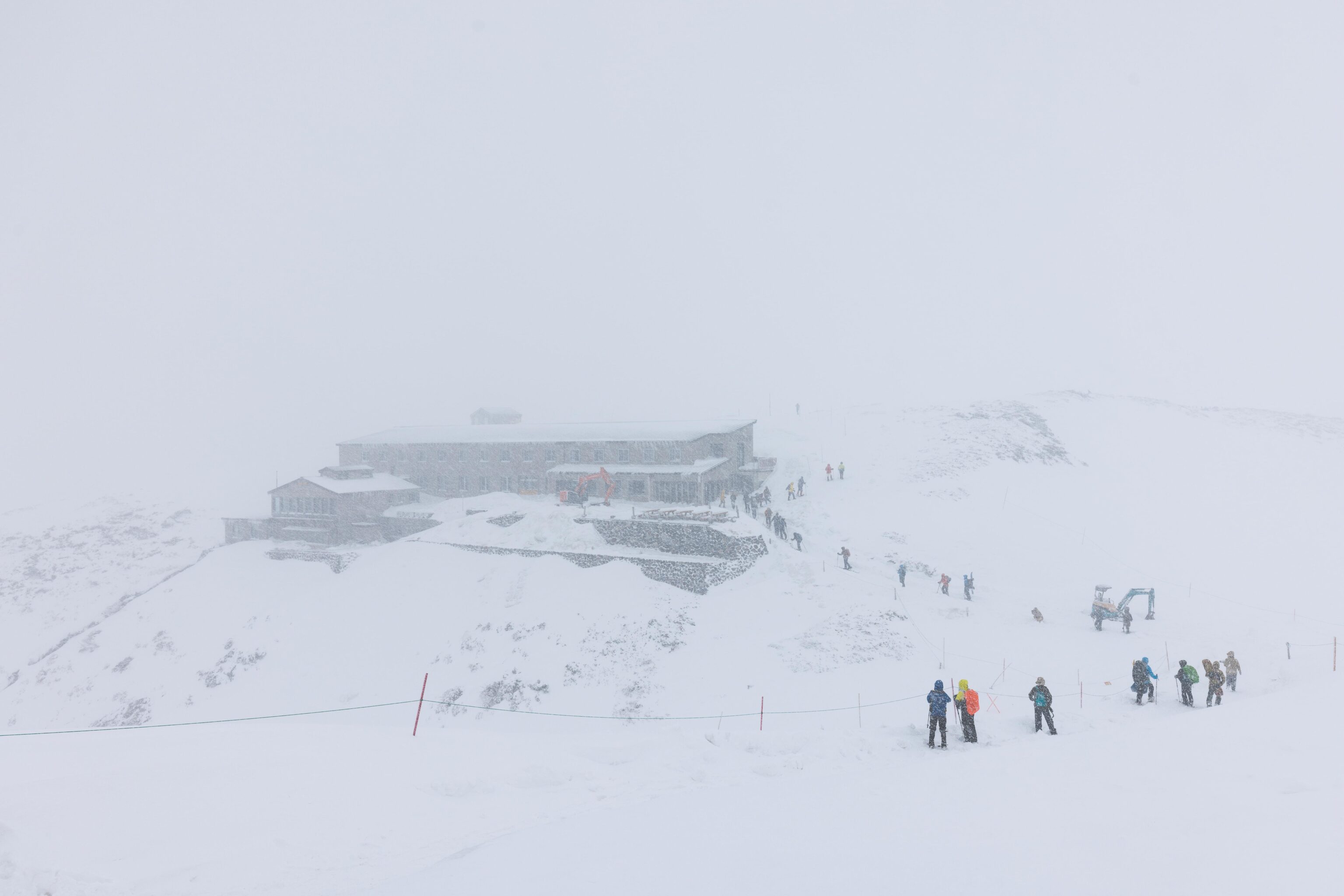
We headed back to the rooftop observation deck to take a look. Visibility was definitely more limited than earlier in the morning. But, there were many people walking to and from the snow corridor which was now open.
We decided to head to the snow corridor. It is just a short walk from Murodo Station, pictured here as we headed away.
The official snow corridor tape measure!
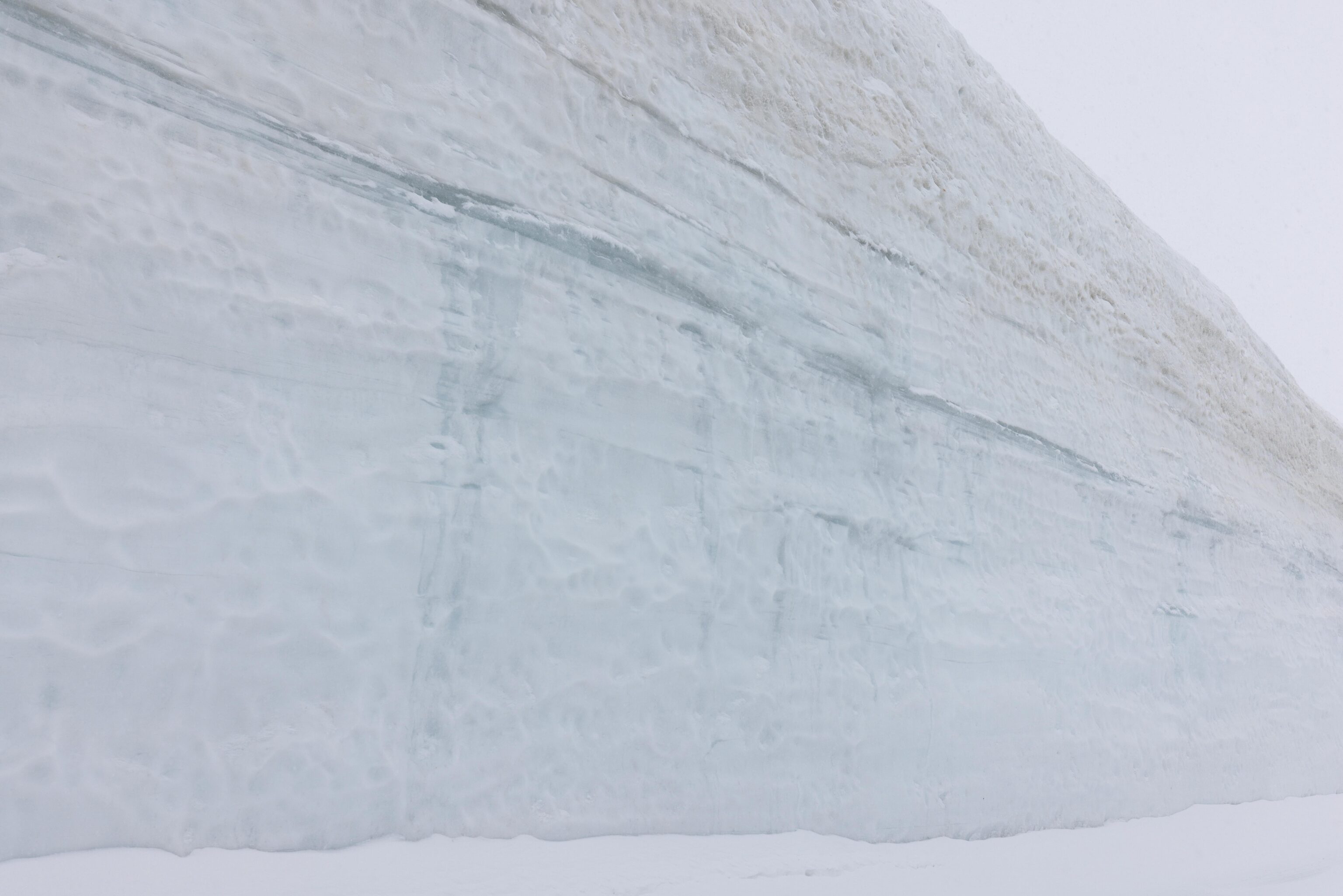
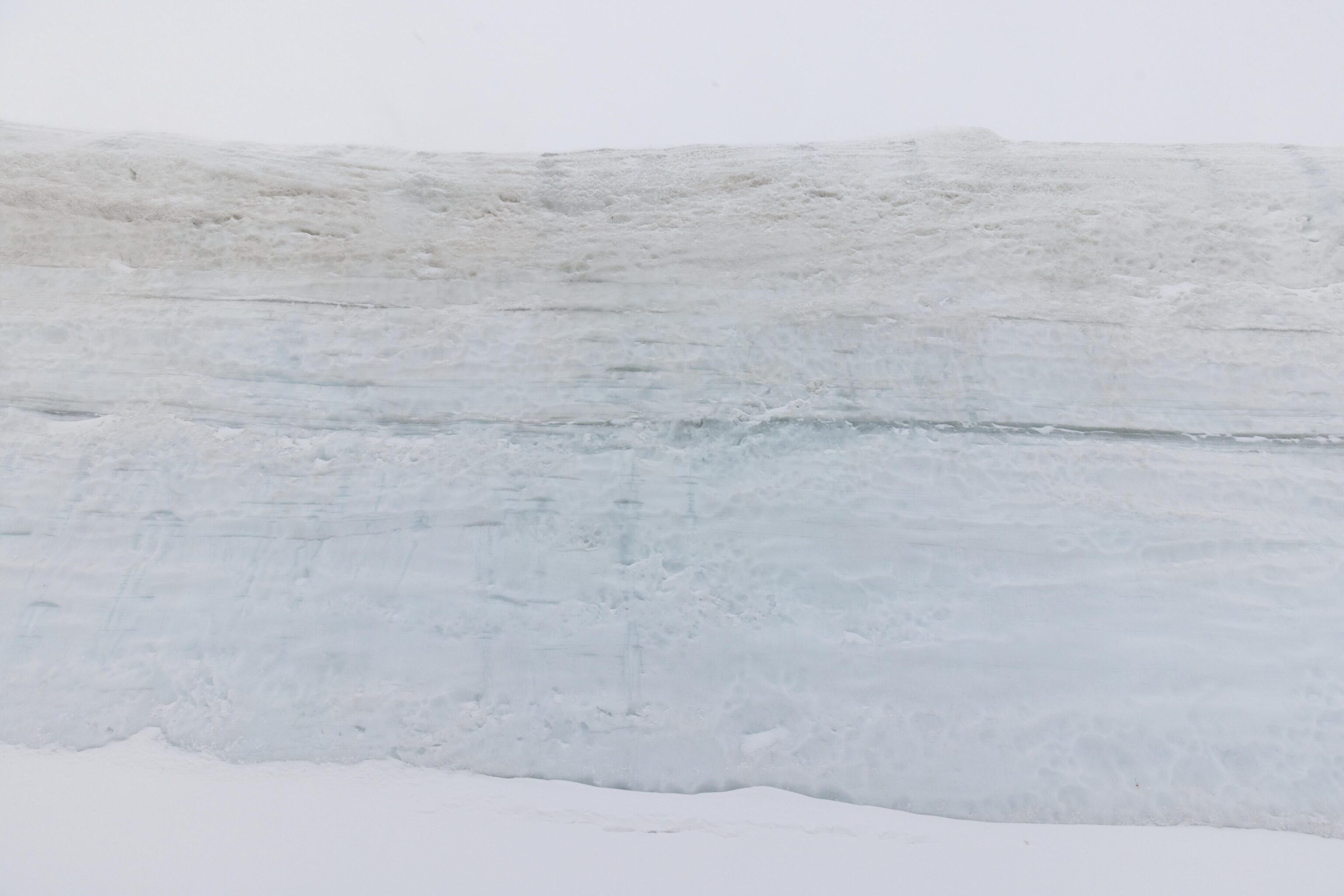
The wall on the opposite side of the road, though it is hard to tell how high it is without anything to judge scale.
We walked to the end of the path.
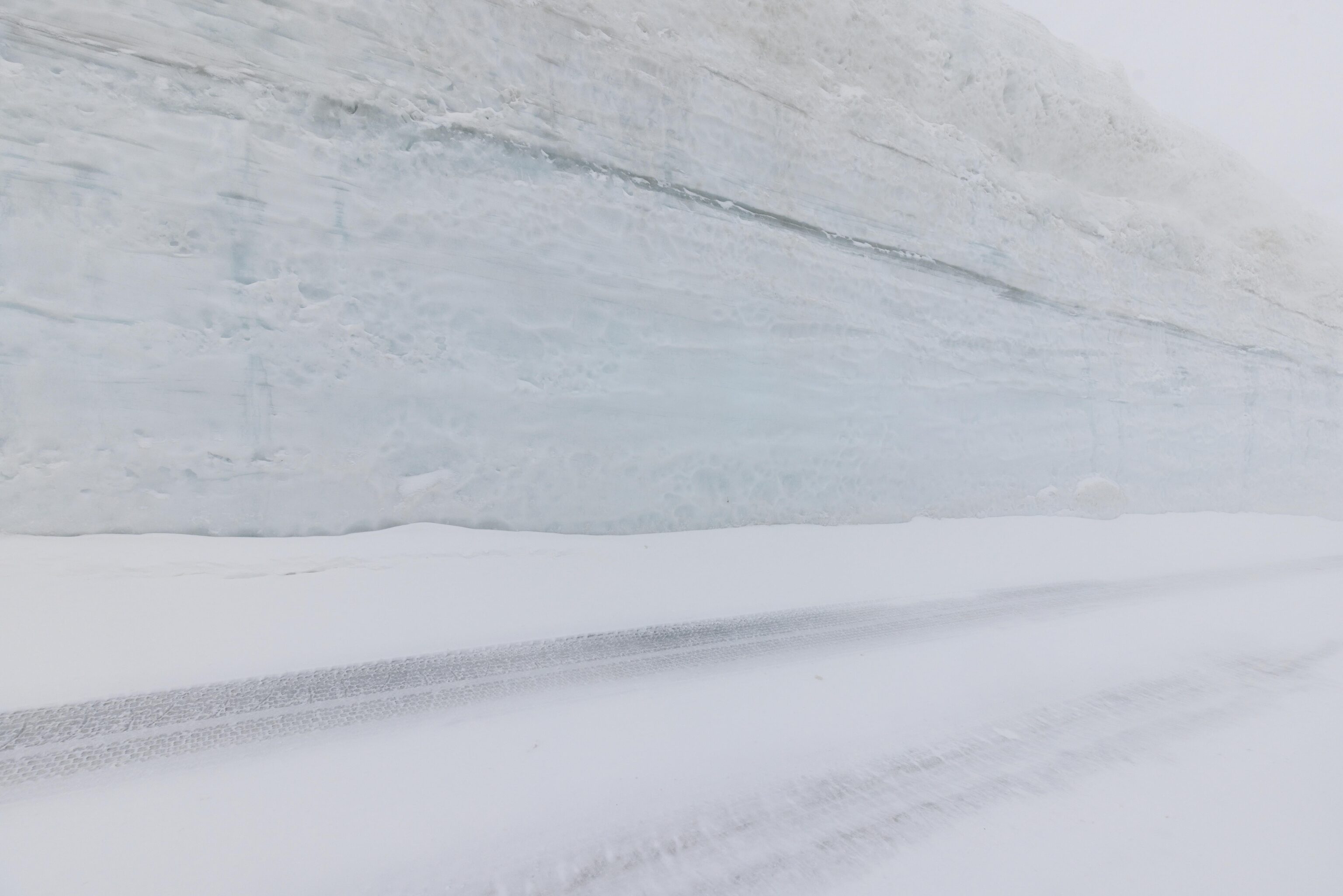
Again, its hard to judge scale.
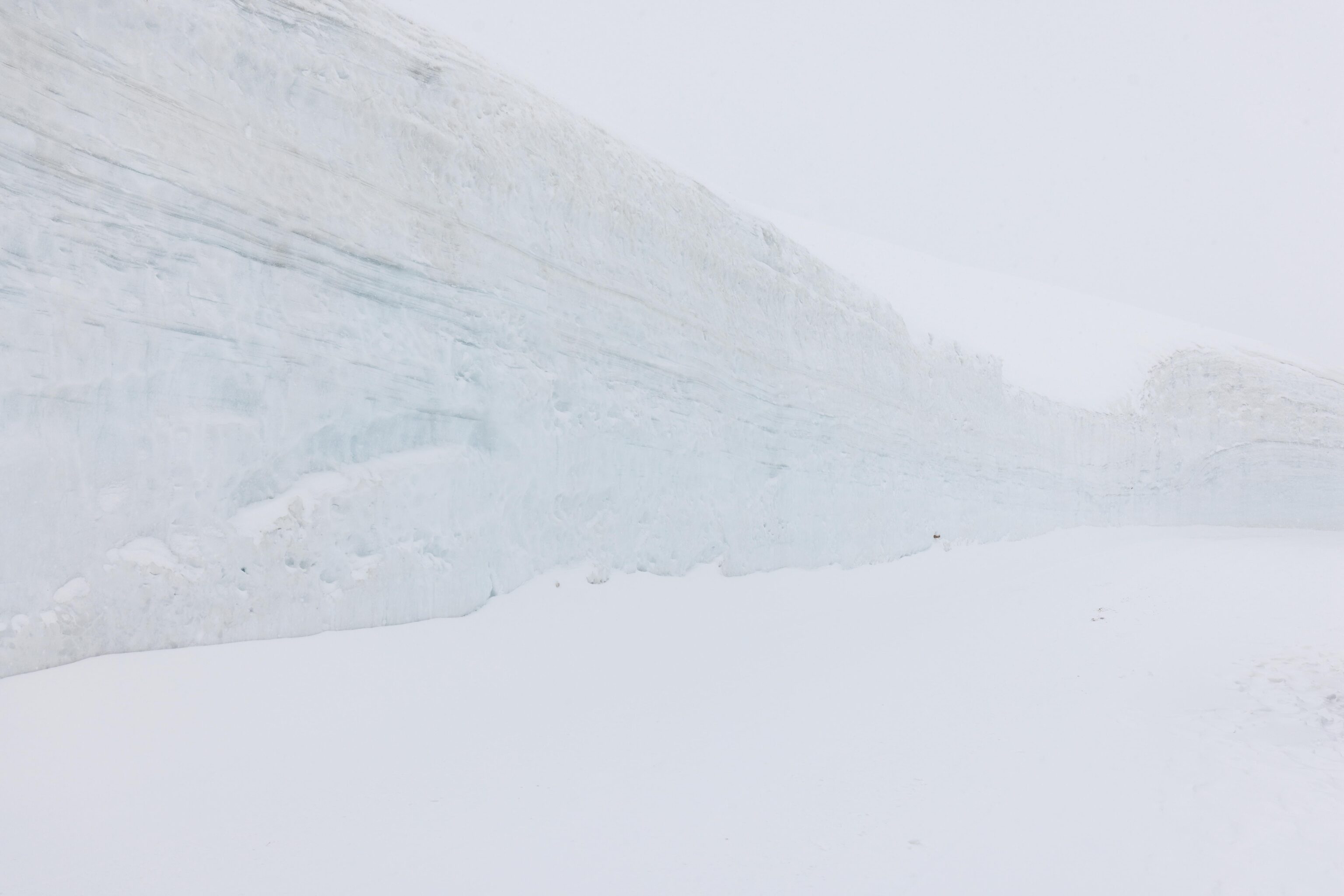
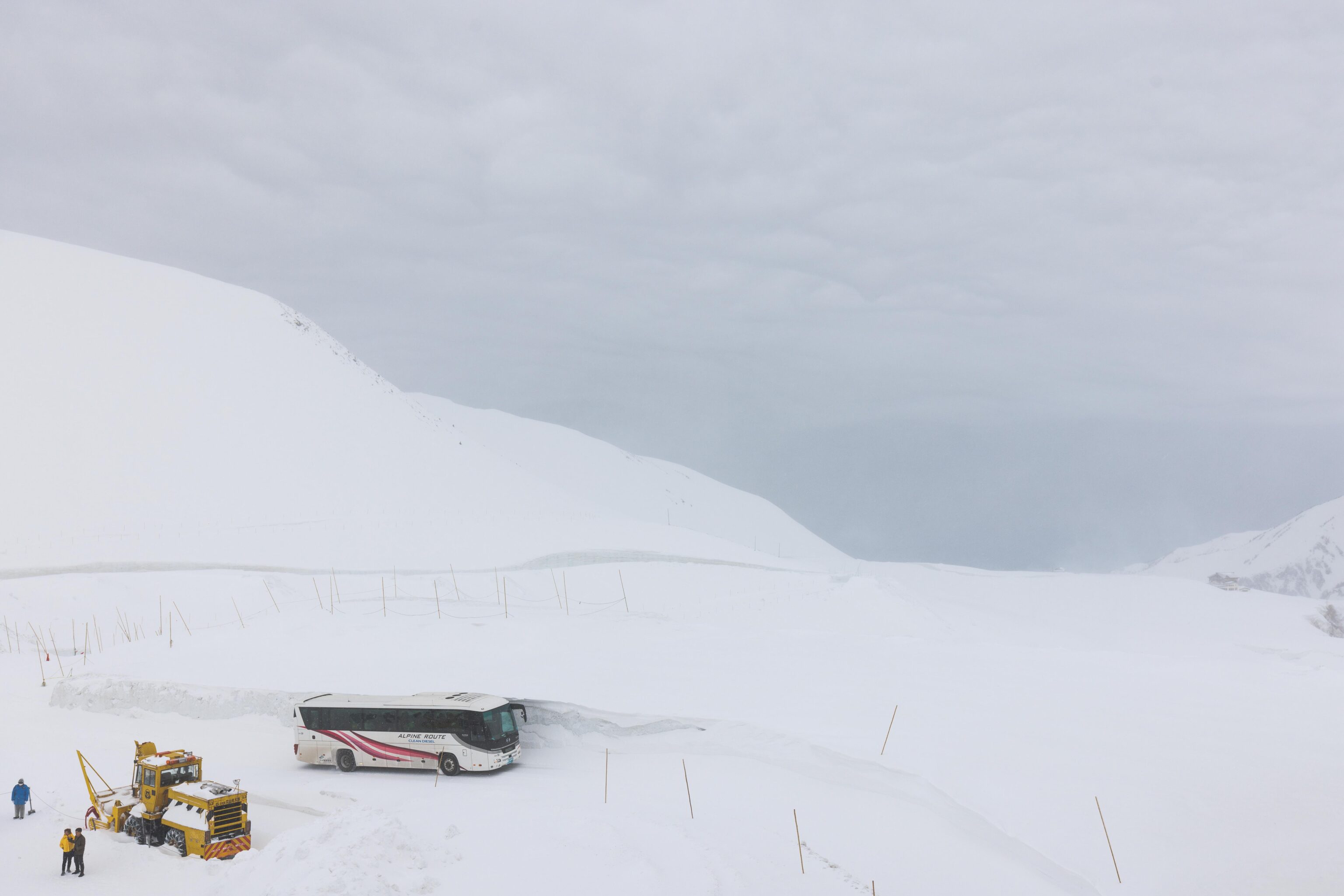
The snow walls are pretty tall! At least twice as high as a bus!
We started to head back to Murodo Station.
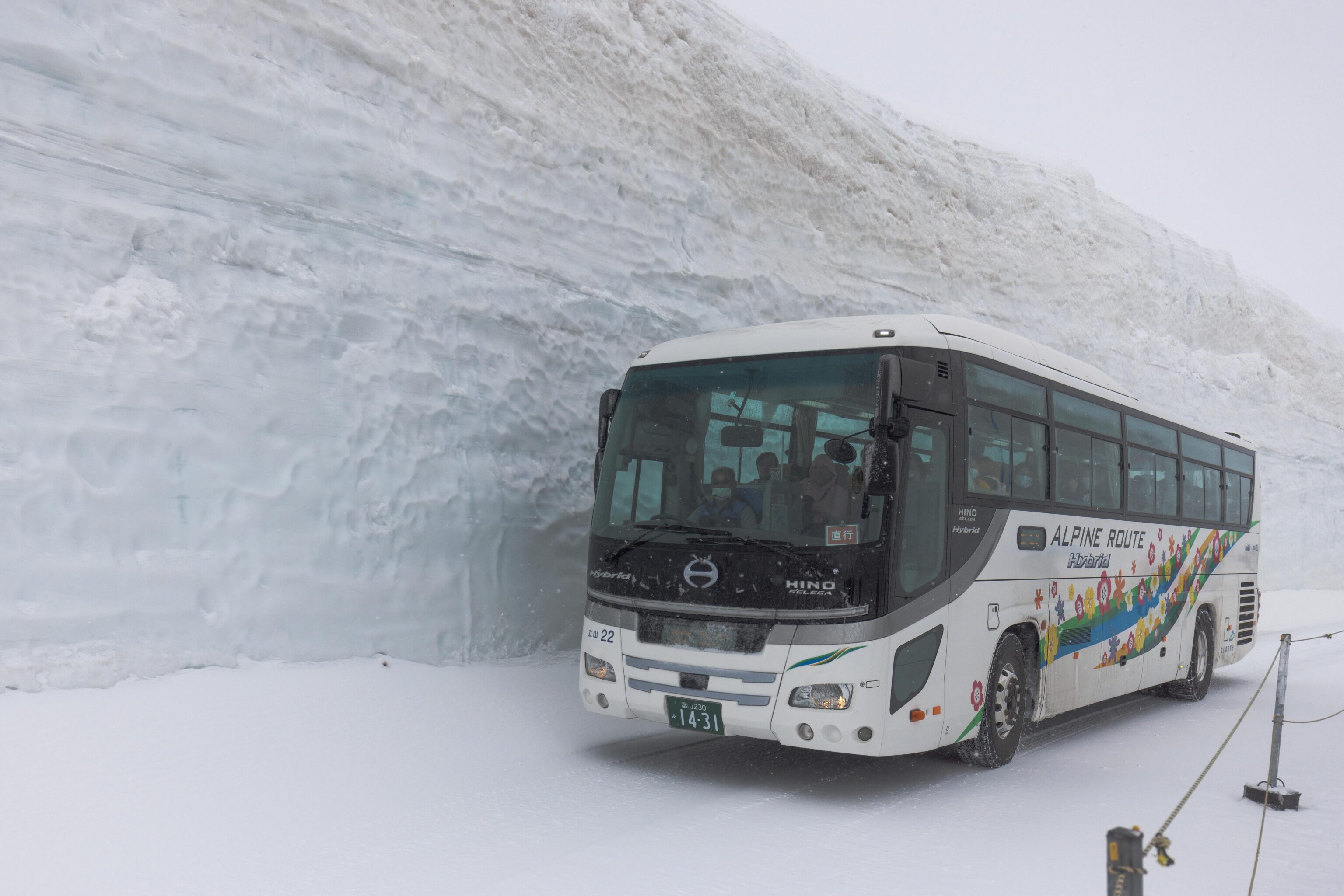
Another bus! We took many bus photos but just selected two. The hybrid designation on the bus refers to the fact that these are diesel electric busses regenerative braking, essentially like a diesel train locomotive.
The weather seemed to be clearing up a bit as we walked by this little “window” on the way back to the station. There seemed to be another pedestrian walking path marked off around here but it was not open.
We could see a few mountain peaks as we arrived back at Murodo Station! The snow corridor actually closed just as we arrived to Murodo Station so we are lucky to have been able to see it on foot.
We took a break for lunch and headed back out into the snow in the early afternoon at around 1:40pm. The weather seemed to have cleared a bit.
We decided to hike once again to Mikurigaike Onsen and perhaps go further this time. We could clearly see the surrounding terrain in the distance!

We admired the scenery as we made our way to the onsen. Very different from what we experience in the morning! Even though visibility was much better, it was still rather windy. We could see snow being blown off of the surrounding terrain.
Visibility started to get worse as we approached Mikurigaike Onsen.
The visibility around Jigokudani was a little better than in the morning, but not by much.
After a brief rest, we decided to hike up the hill behind the onsen. From there, we could see the top of the Hotel Tateyama where we came from.
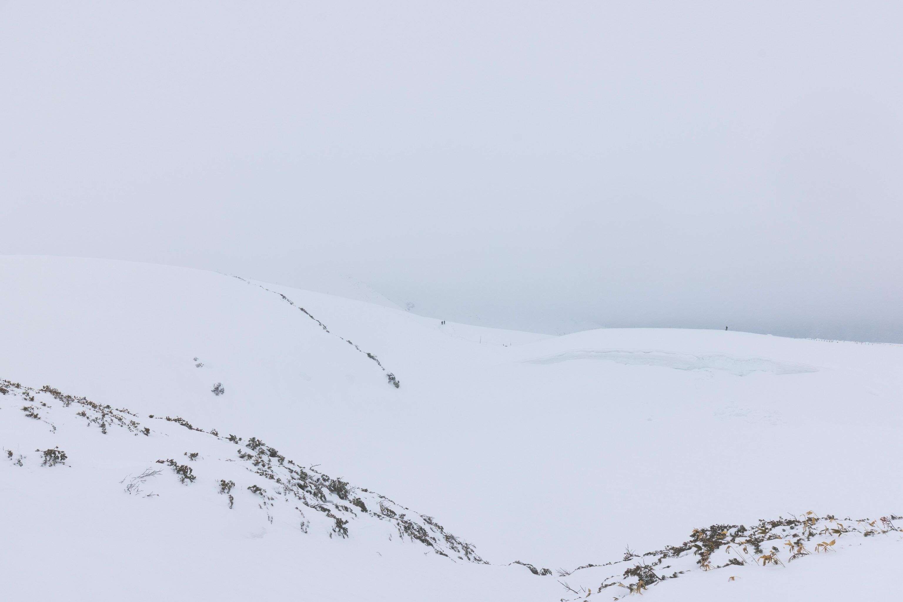
We decided to hike the triangular route that goes around the Mikuriga-ike and links the onsen with Tateyama Murodou Sanso and the Tateyama Station. We saw people on this path earlier from the other side of the pond. We could see the path that we hiked earlier in the morning as well as while on our way to the onsen in the near distance. It wasn’t so far away but everything appeared tiny surrounded by whiteness.
While the route between Murodo Station and Mikurigaike Onsen was well marked with poles attached by rope, this portion of the trail was not so well marked. There were occasional poles but that was it. This was the view looking back toward the onsen. Unfortunately we didn’t photograph towards our destination, Tateyama Murodou Sanso. At this point, there were no more nearby poles but we could see one some distance away. We hiked to it but there was no apparent route to Tateyama Murodou Sanso and no more nearby markers. There appeared to be a downward slope in the way. We decided to turn around as poking around in a high alpine environment with no obvious route just isn’t a good idea.
We slowly hiked back to the onsen to rejoin the path back to Murodo Station. We passed by some raicho on the way. They kept coming in and out of view so it was hard to count but there were definitely a few! All three of these photographs have at least one visible.
We didn’t take any photos on the trail after this one which is probably of Raichoso, another alpine hotel that is not yet open or accessible. The weather started getting much worse. Falling snow and ice was blowing hard and felt like pins when hitting skin. Visibility was limited to perhaps two or three route marking poles at best. And the path was deeper with accumulated snow, erasing many of the footprints that had built up over the day. It ultimately took us a little bit more than an hour to get back to Murodo Station after we had turned around.