

We took the train to two little towns on the Rhine, Sankt Goar and Bacharach. At each, we hiked up to a castle and then back down again. The weather was nice, particularly in the morning when it wasn’t cloudy at all. It was still rather cold when the wind was blowing though.
Sankt Goar
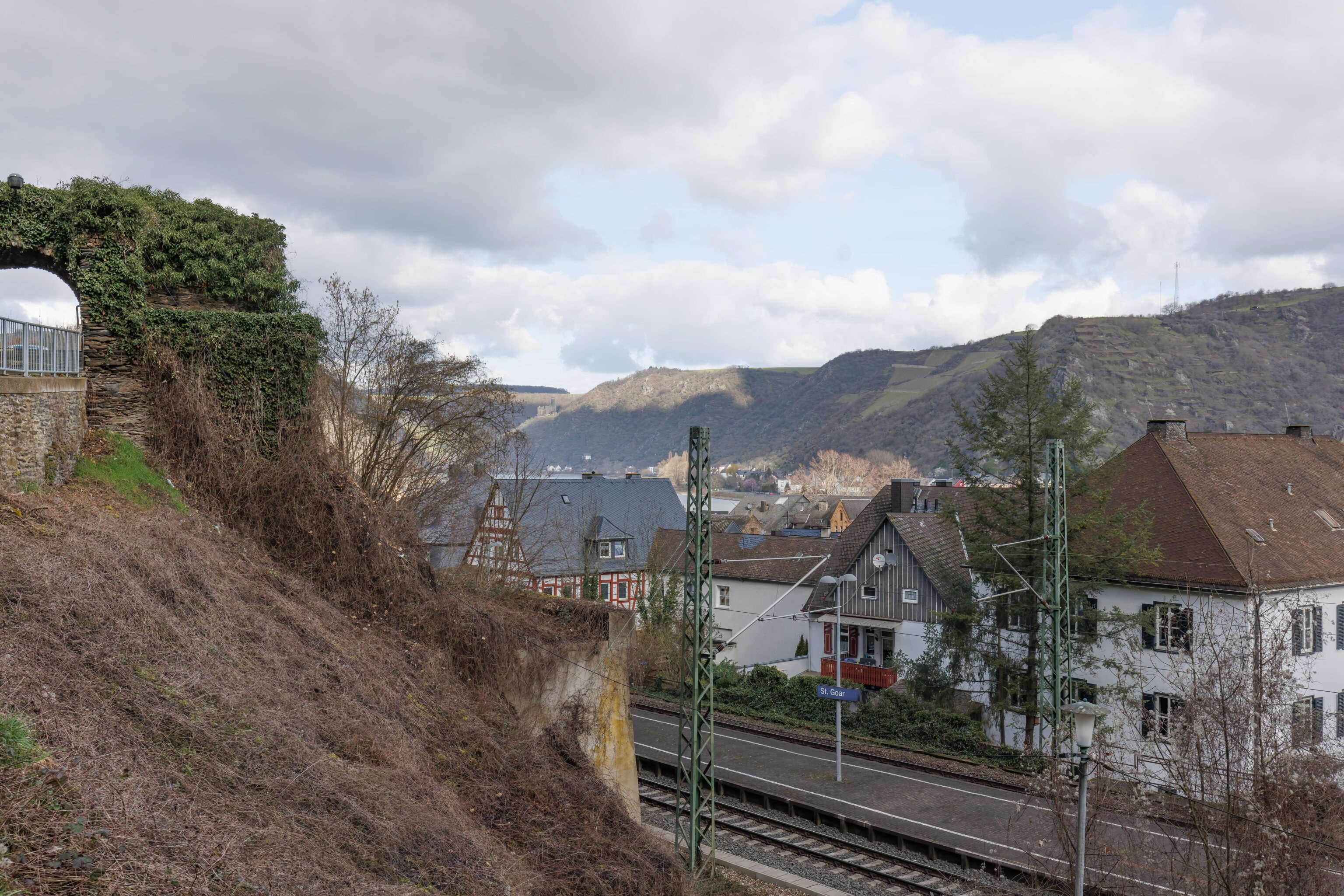
We started out at Sankt Goar, a bit less than two hours away from Frankfurt by train. After arriving, we headed up on a trail behind the train station.
There were many possible paths to take up on the side of the mountain behind the train station. We saw this structure near the station, what appears to be the ruins of a castle or perhaps just a wall. It was in the wrong direction though so we skipped it.
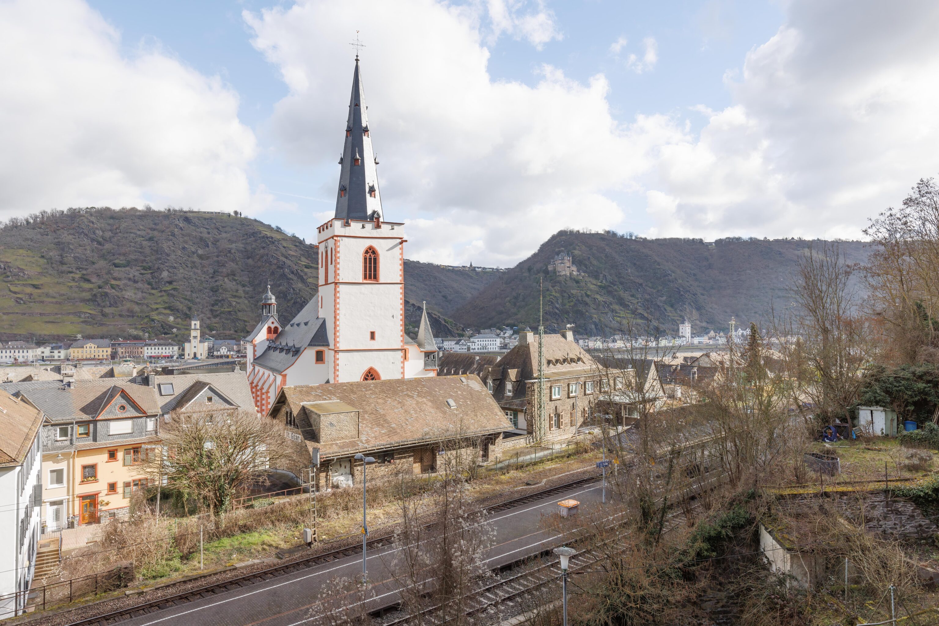
The trail was steep in places but luckily dry after all the rain yesterday. We looked back to see the riverside area that we were ascending out of.
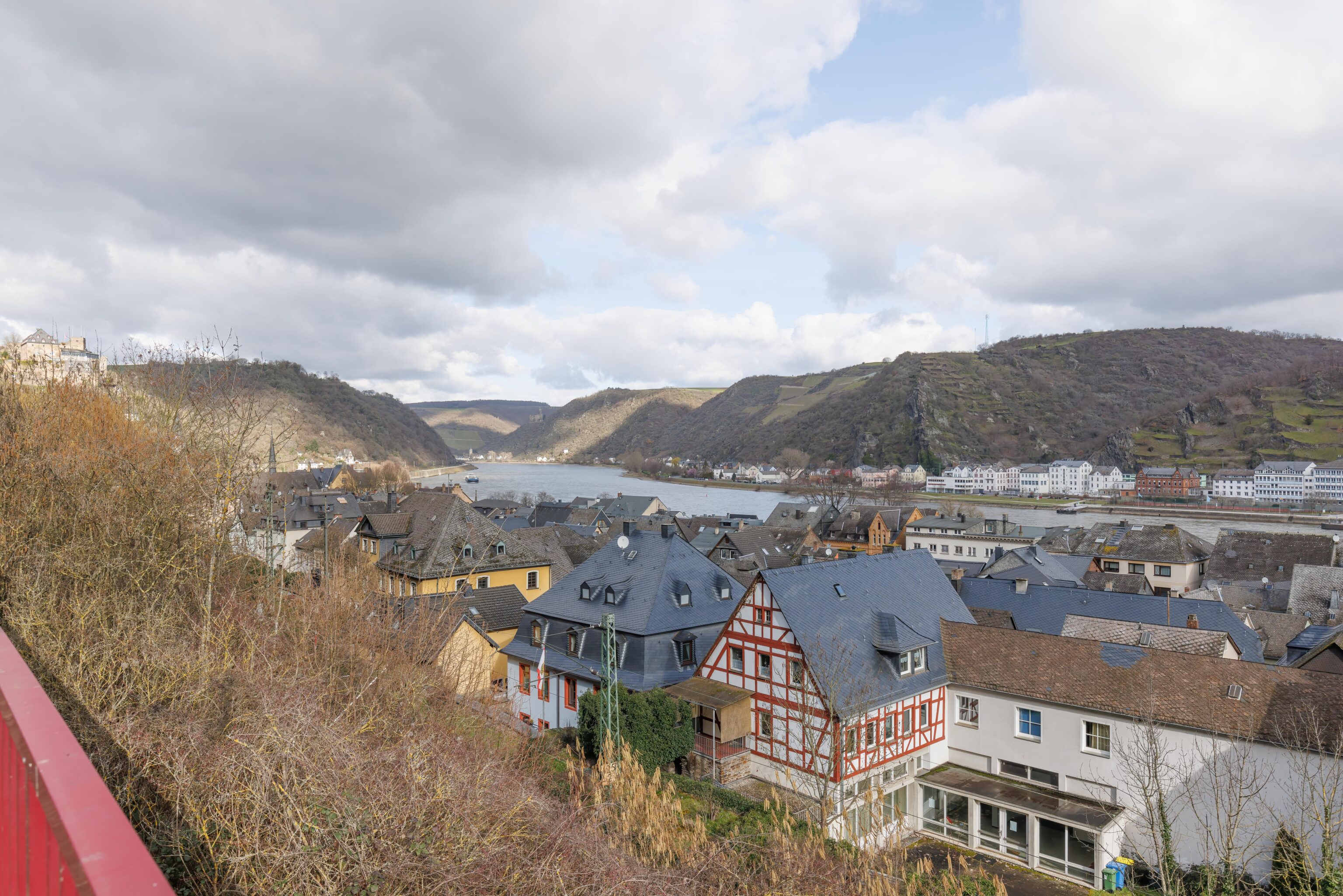
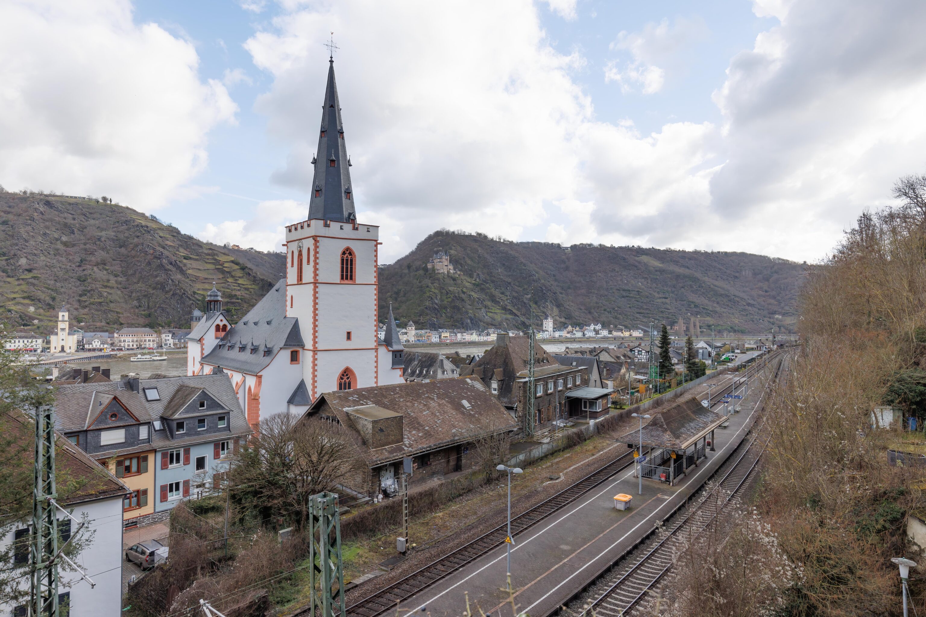
We quickly came to a road which had clearer views of the town below. We continued heading up on the trail beyond the road though.
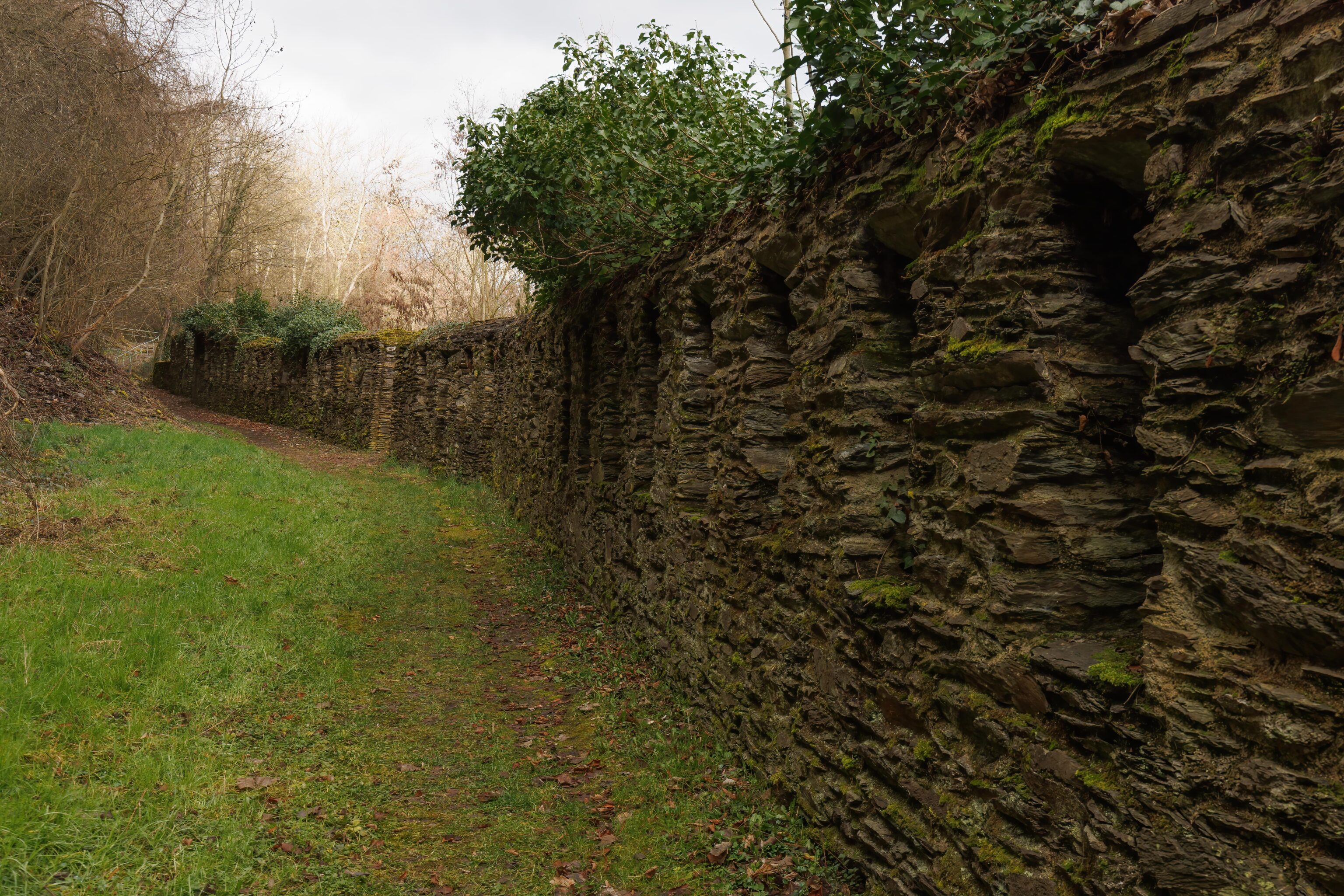
We came across this wall on the side of the trail. It looks very old. The whole area is probably much more pretty when there are leaves on the trees!
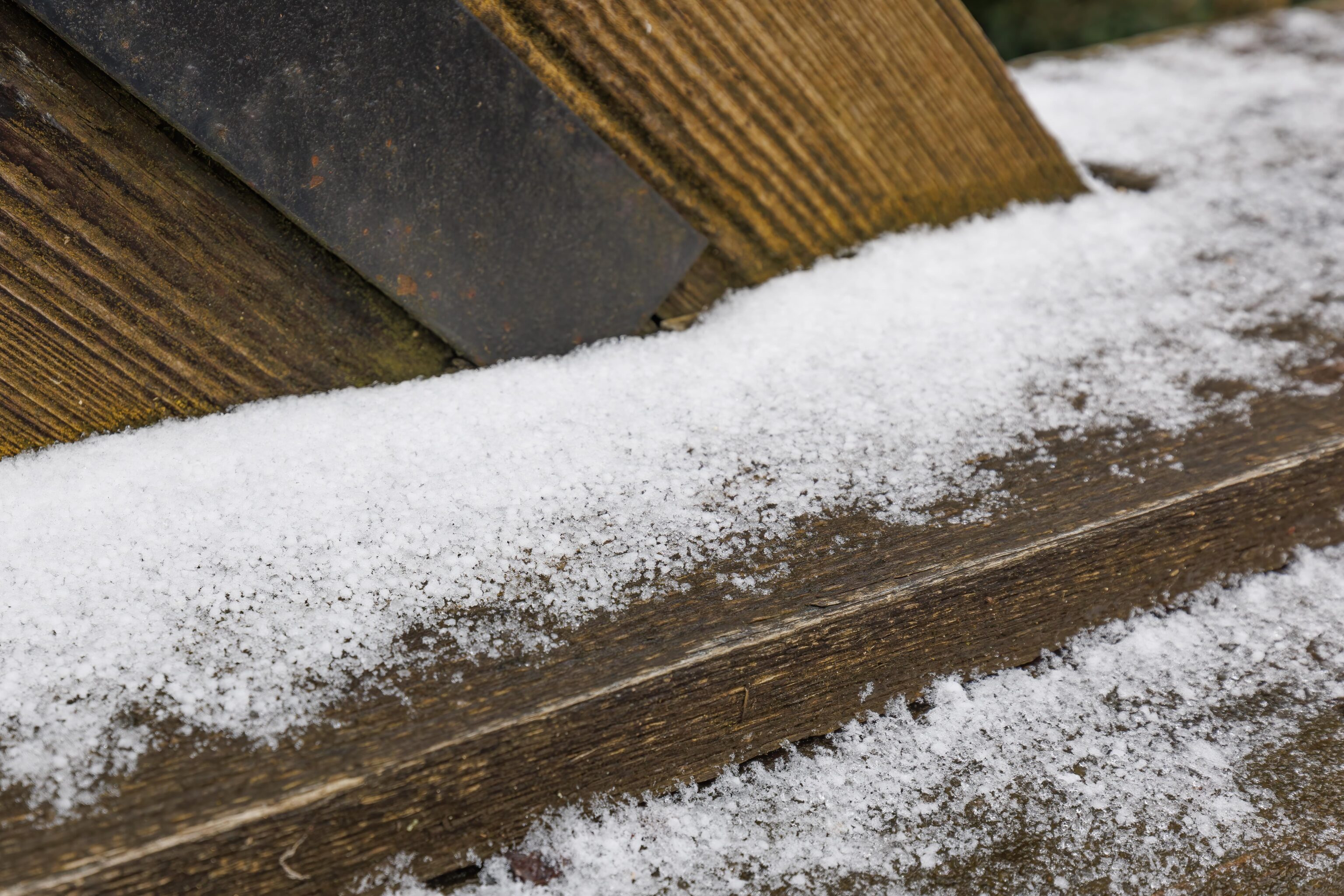
We soon reached this bridge across a road. It had a tiny bit of snow on it, the only real snow that we saw today.
Burg Rheinfels
After crossing the bridge, we entered a small plaza and parking area for the Hotel Schloss Rheinfels, a hotel adjacent to the castle.
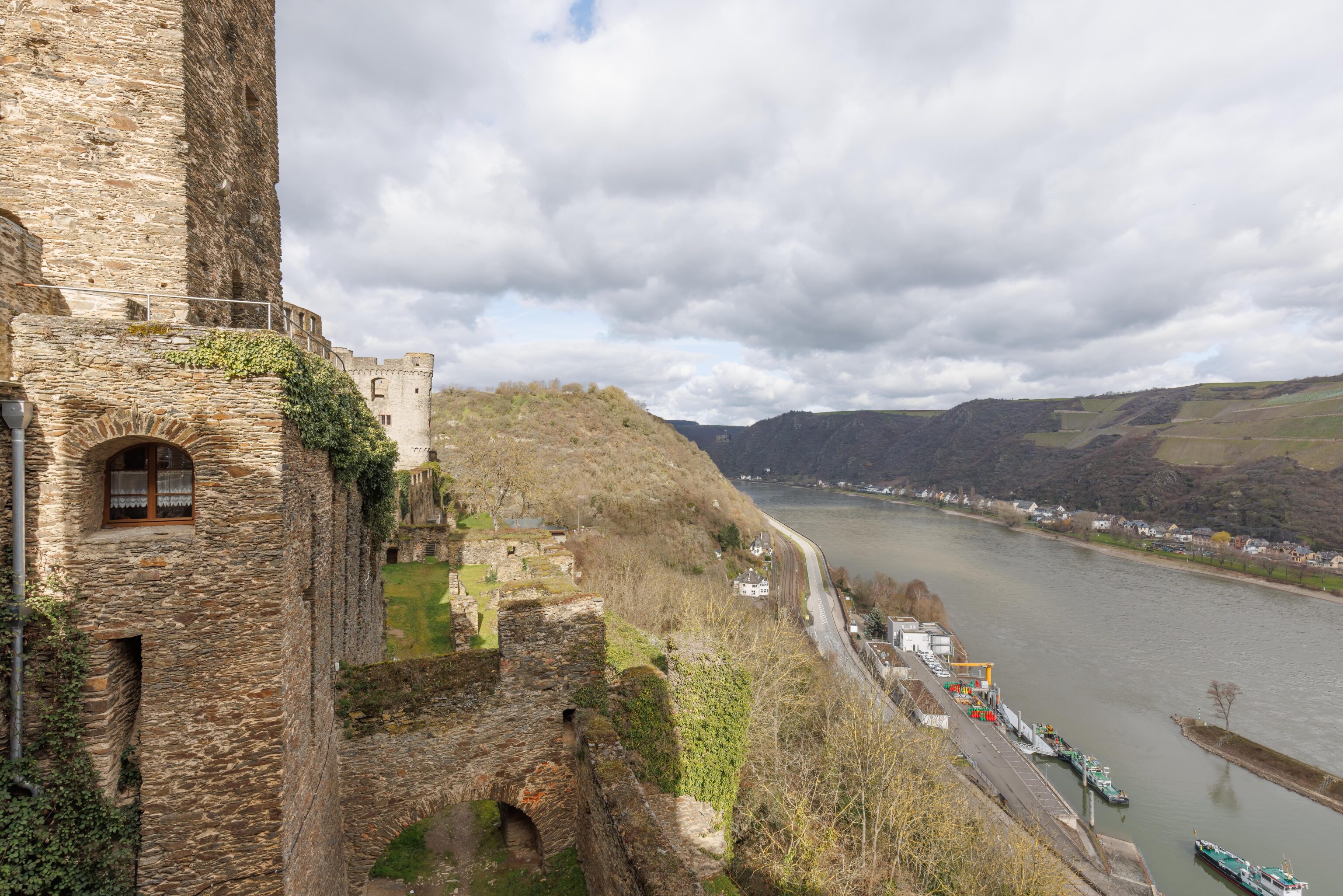
We were treated to this view of the side of the castle and the Rhine below from the far end of the plaza, around the entrance to the castle.
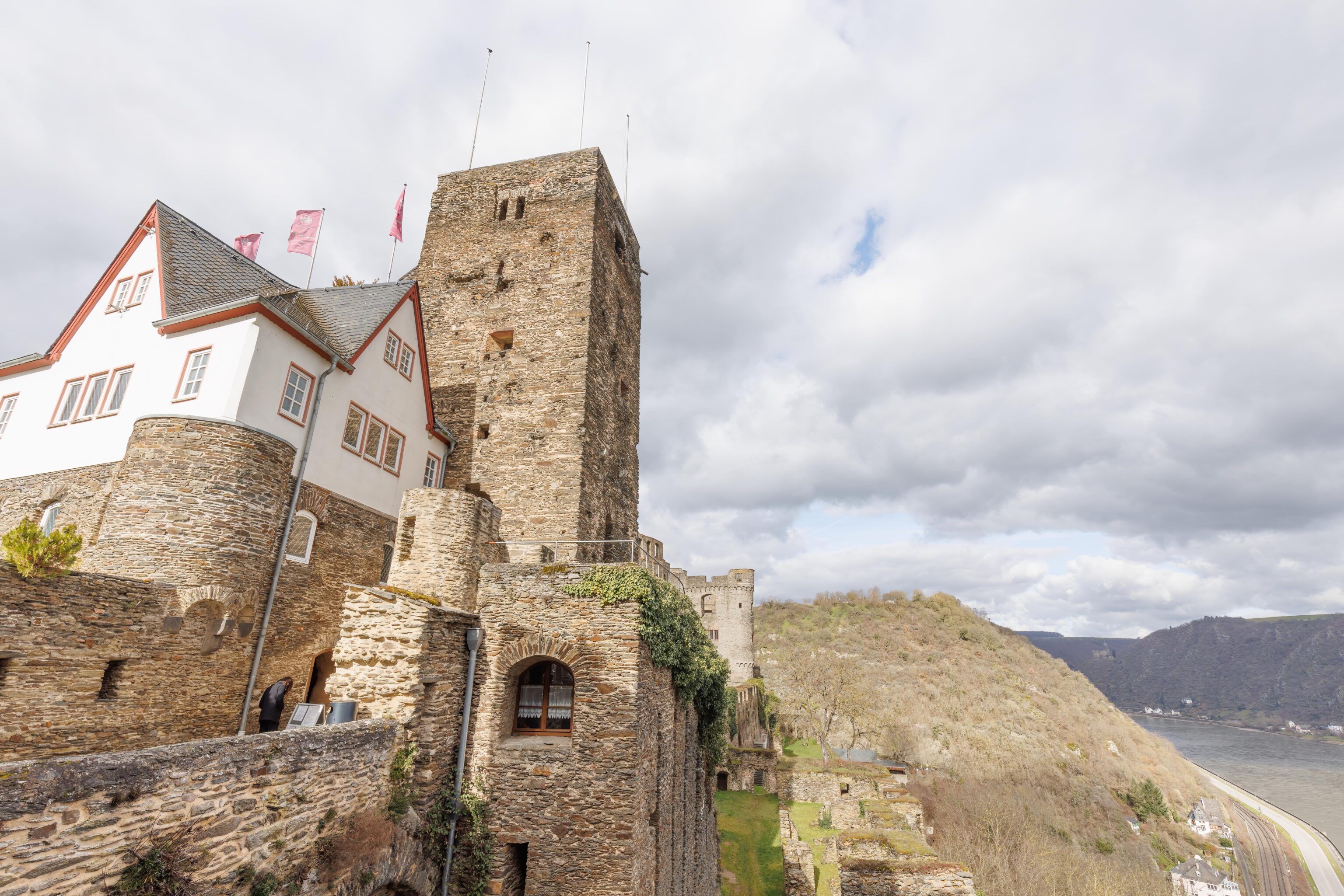
Looking up we could see a tower above the castle entrance.
We entered the castle and headed along the self guided tour route. There are no English guided tours as most visitors are German. Normally, more of the castle is open to visitors but during this part of the winter there are closures due to nesting bats!
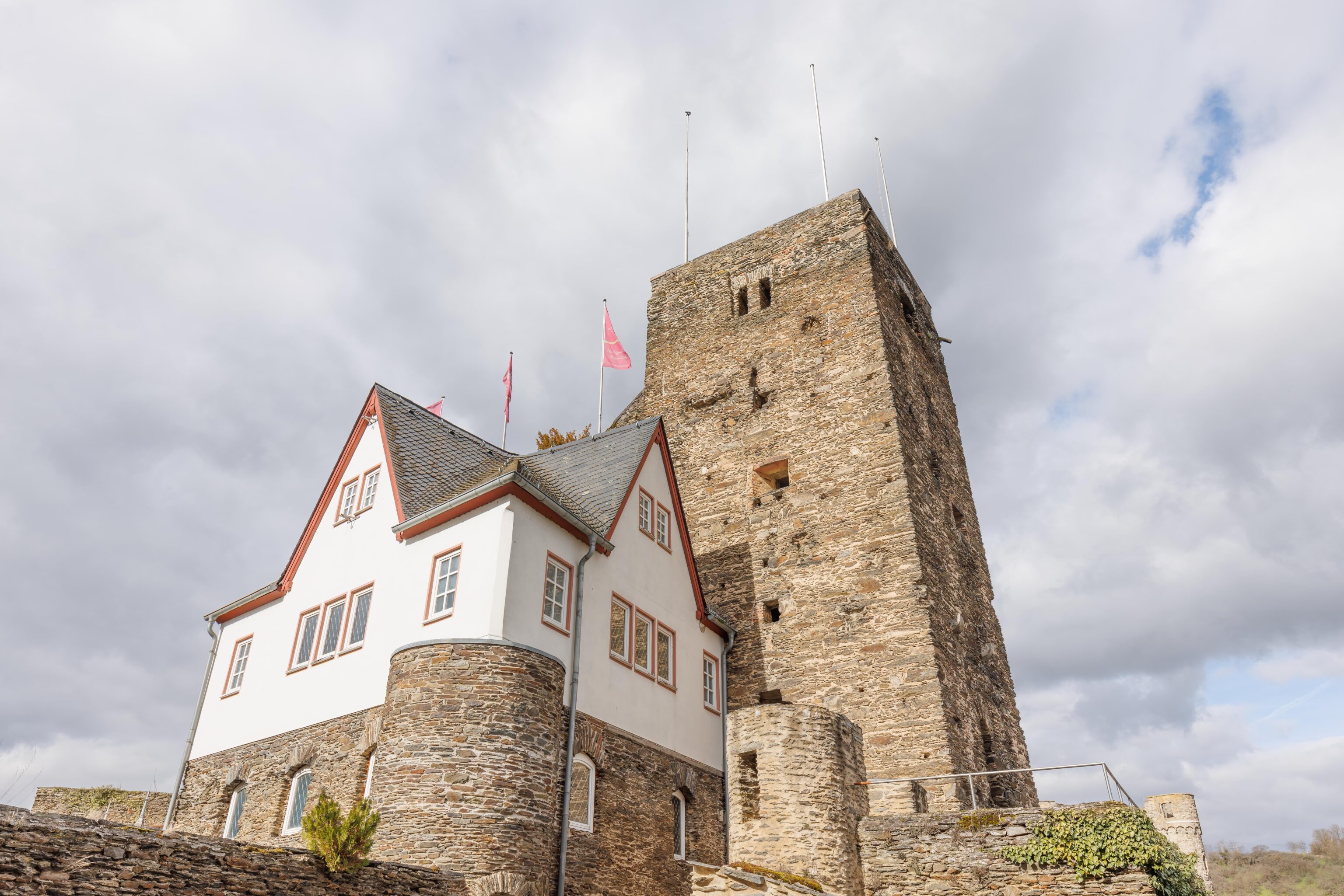
Looking back, a different view of the tower and the structure next to it. The bottom of the building houses the bathrooms, which are actually quite nice.
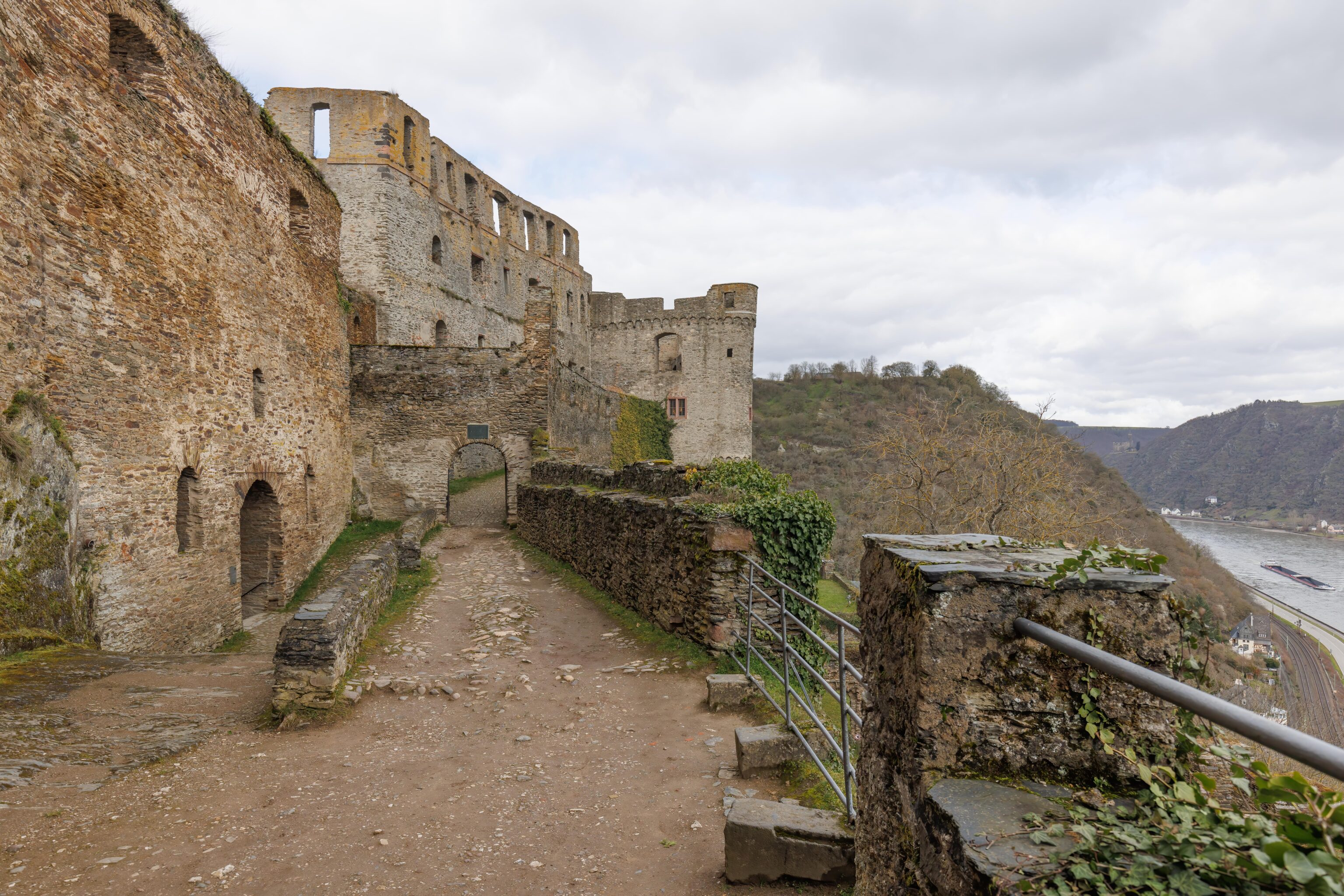
Left or right? We continued towards the right, which is actually straight ahead when not looking to the left! What appears to be a dark tunnel is the route we will take later to exit.
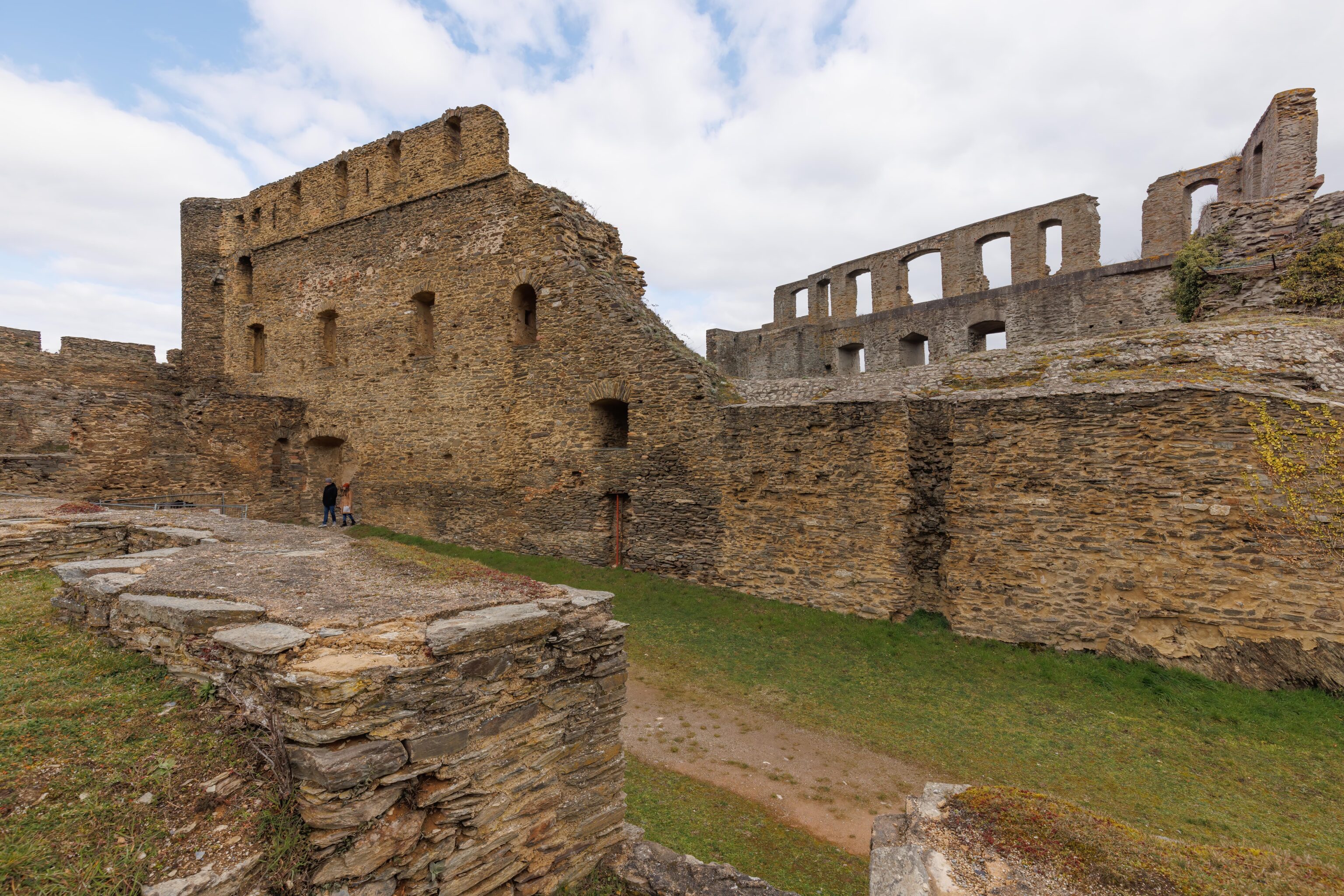
After walking a bit past the junction, we looked back to see what we walked past since entering.
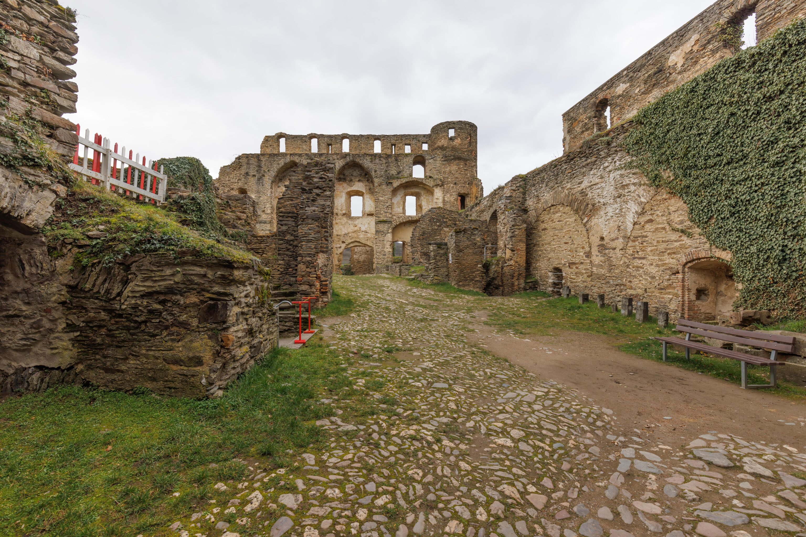
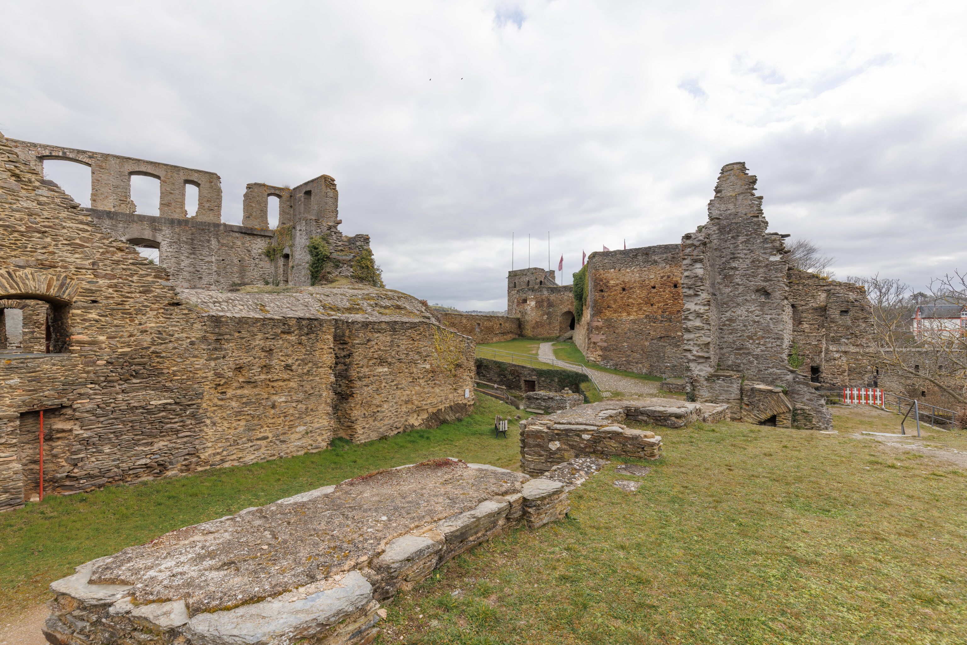
Up ahead, the castle opened up a bit. The castle is essentially ruins, so much of it is structure is missing.
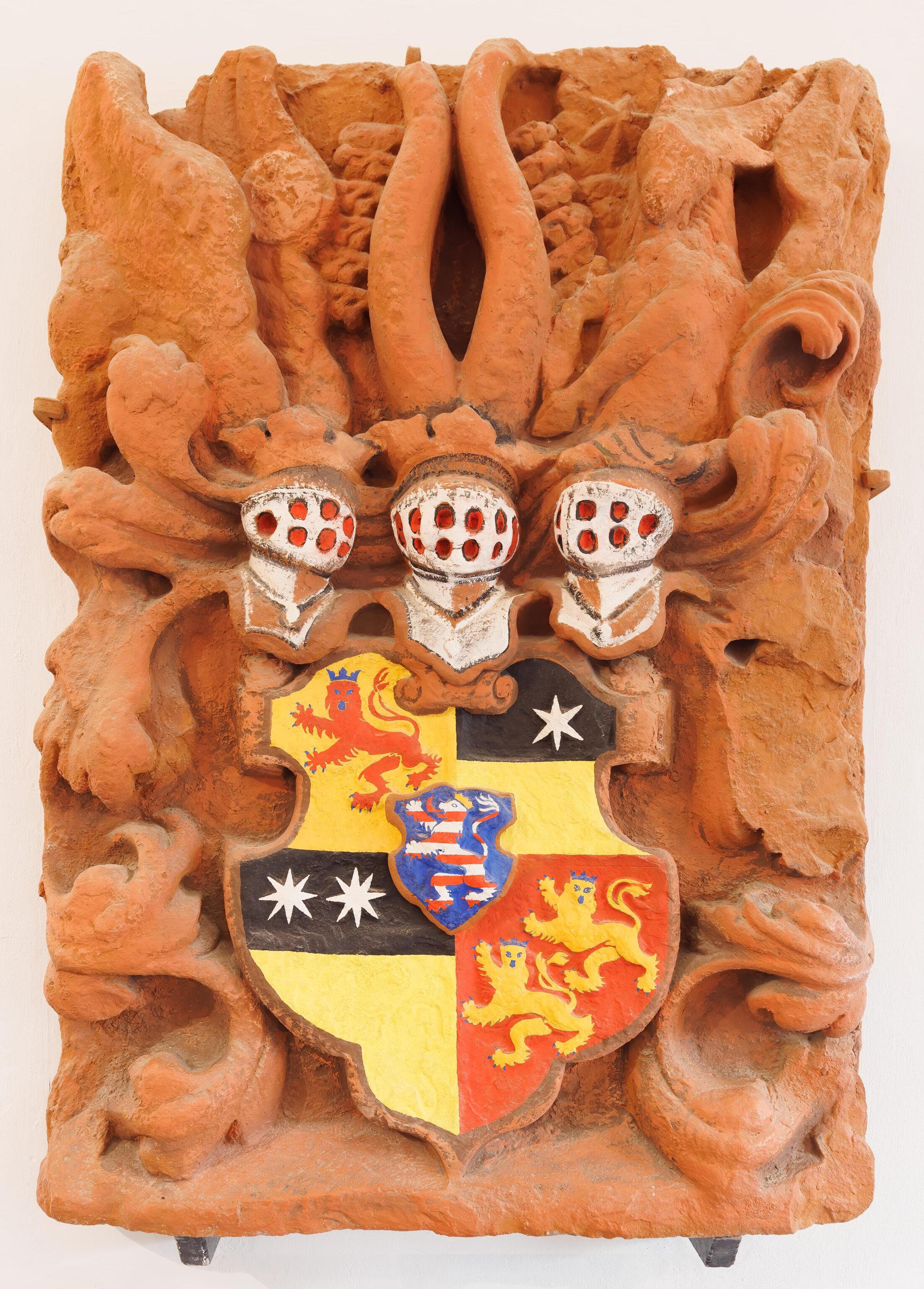
There is a little museum at the far end of the castle. There were some text panels describing the history of the town and castle. Also some German history – royalty, Prussia, empire, and more.
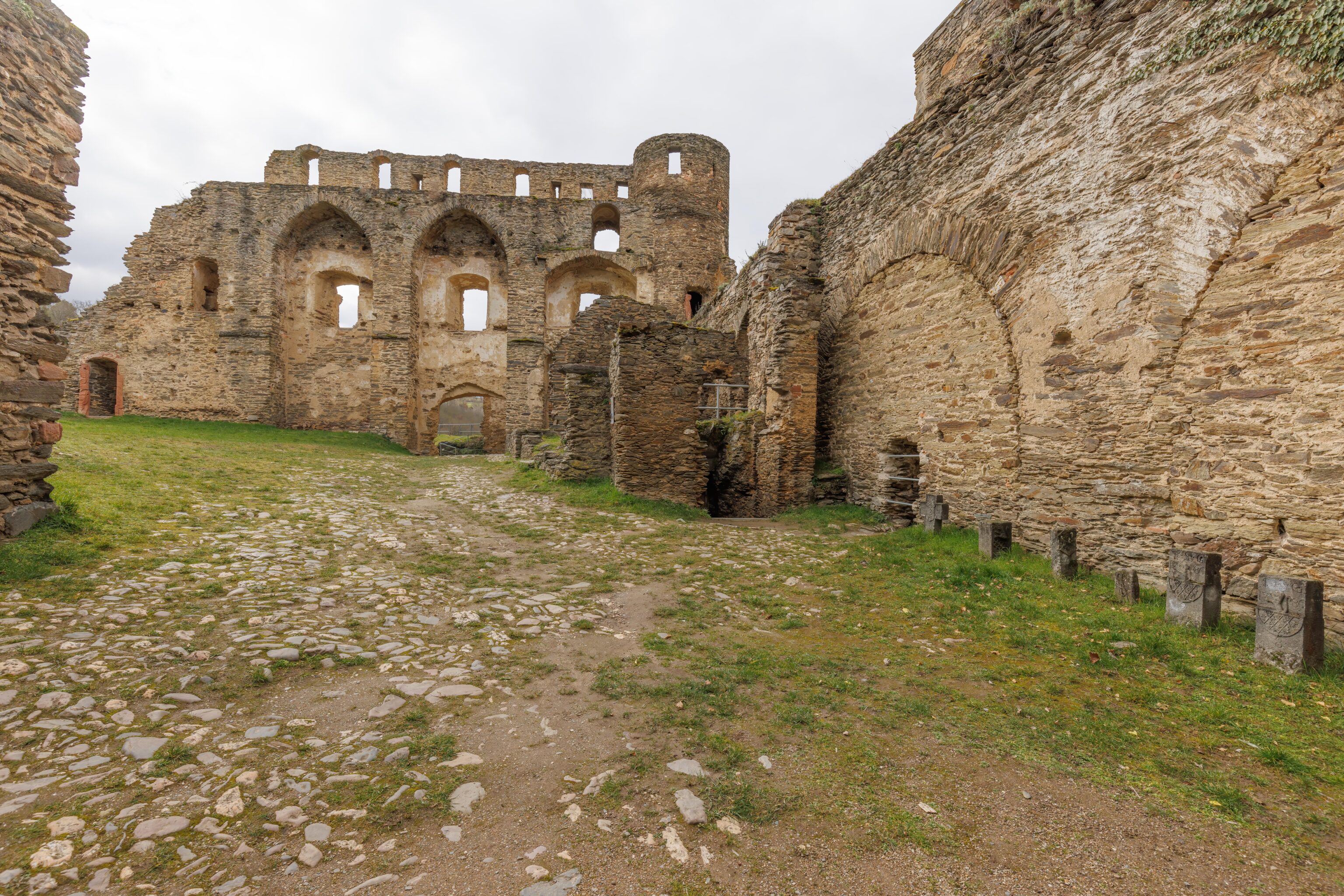
After exiting the museum, we continued on the route.
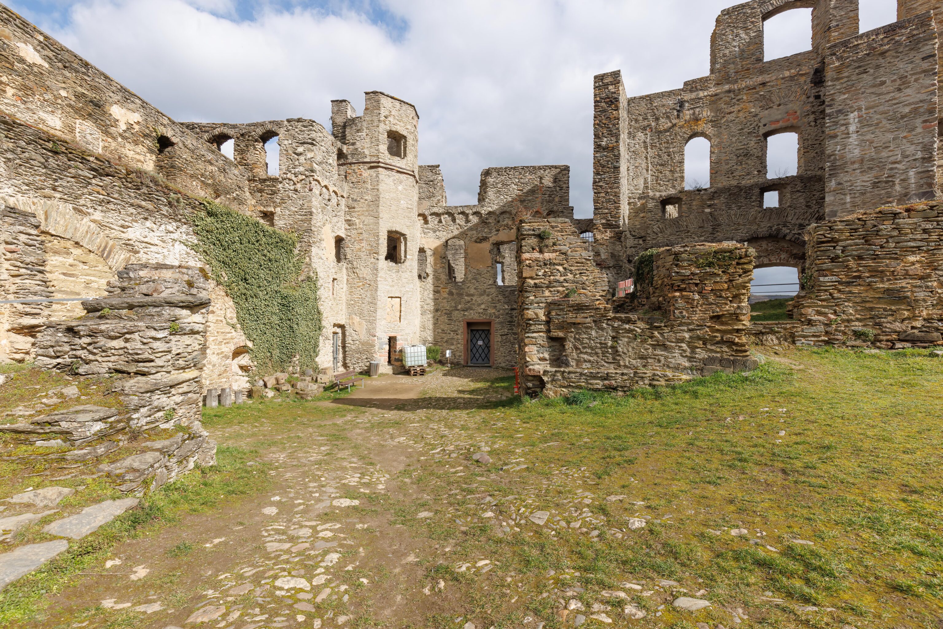
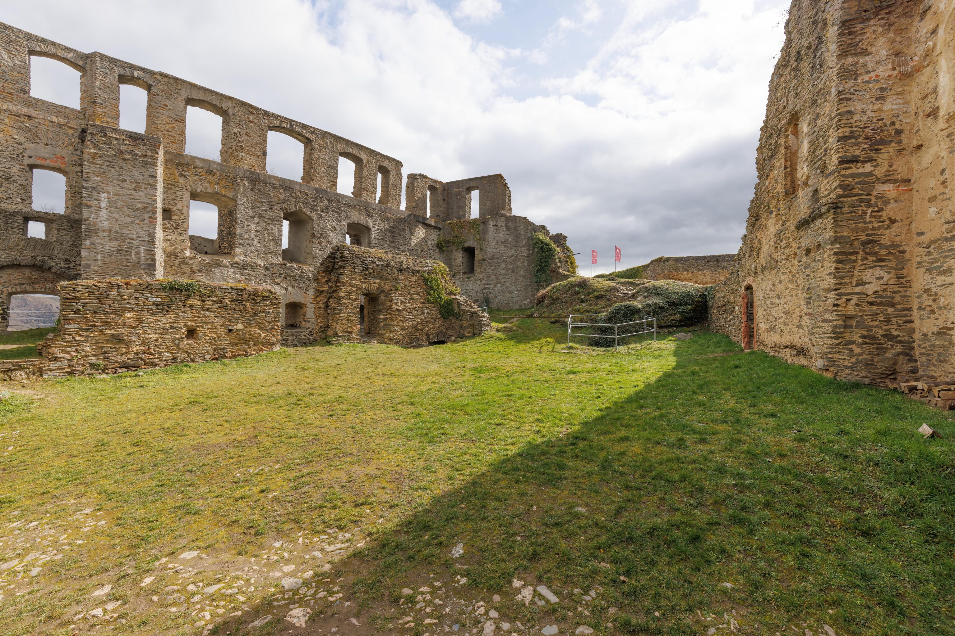
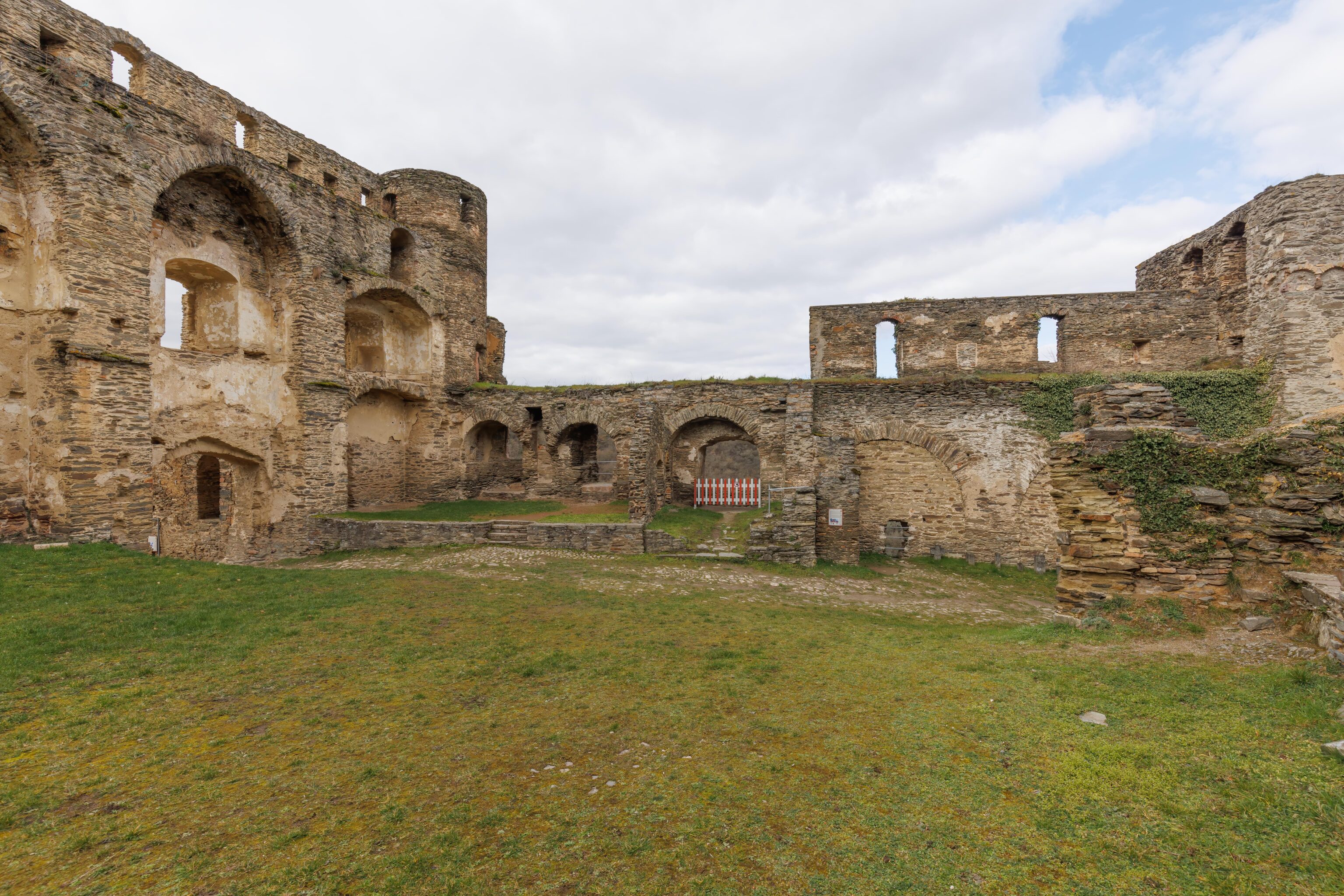
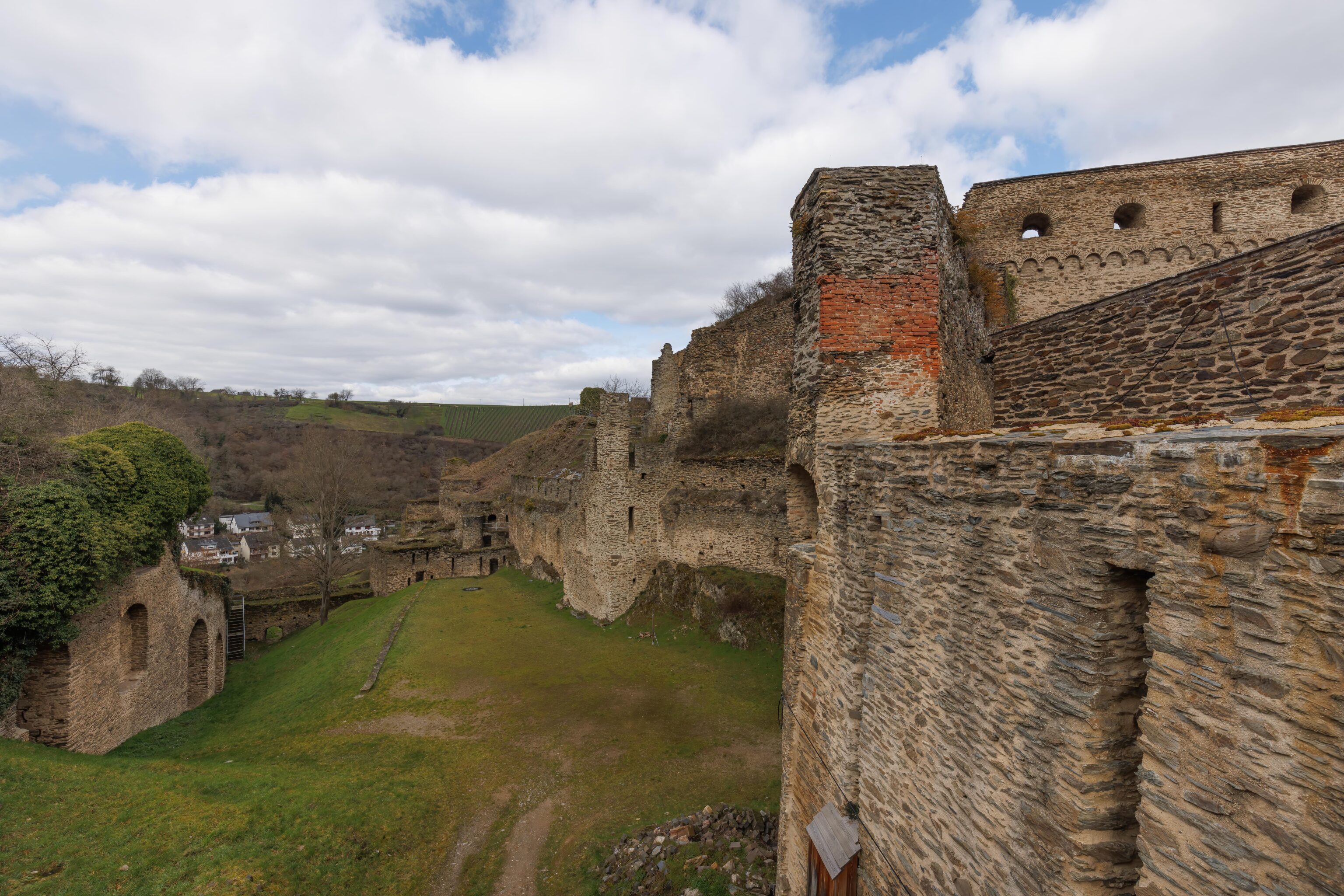
There is an open area here within the castle walls.
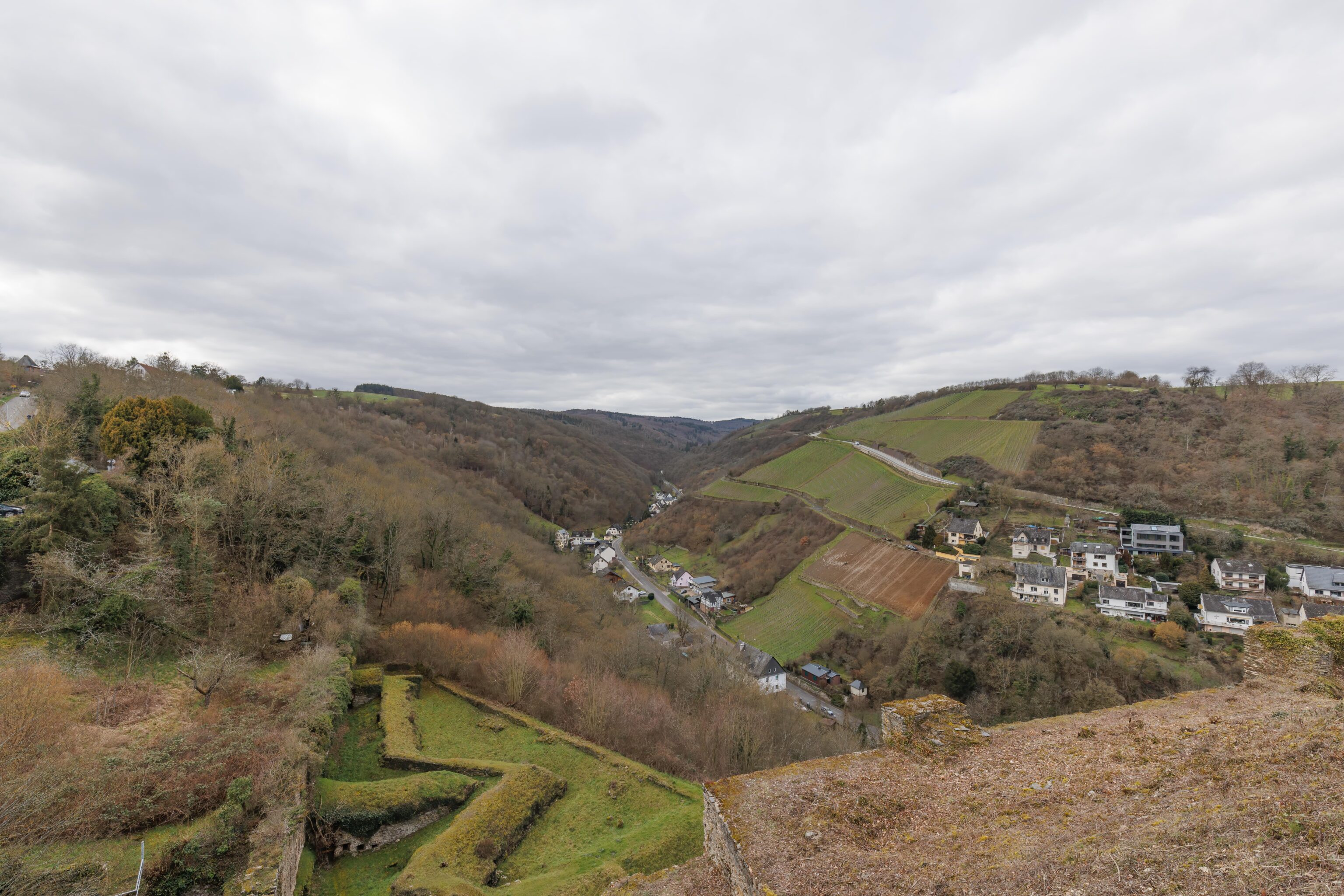
This is, perhaps, looking towards the west. The Rhine is out of view on the right.
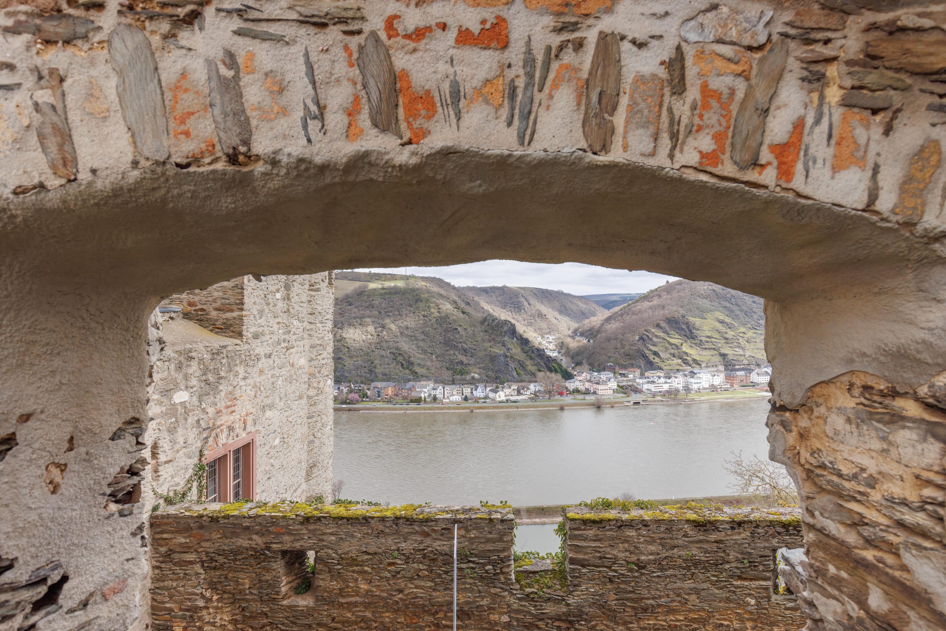
We found this “window” with a view above the path that we took on the way to the little museum. Beyond, we could see the opposite bank of the Rhine and the town and mountains beyond.
We could see the tower that we passed under while entering. It doesn’t look quite as tall from far away.
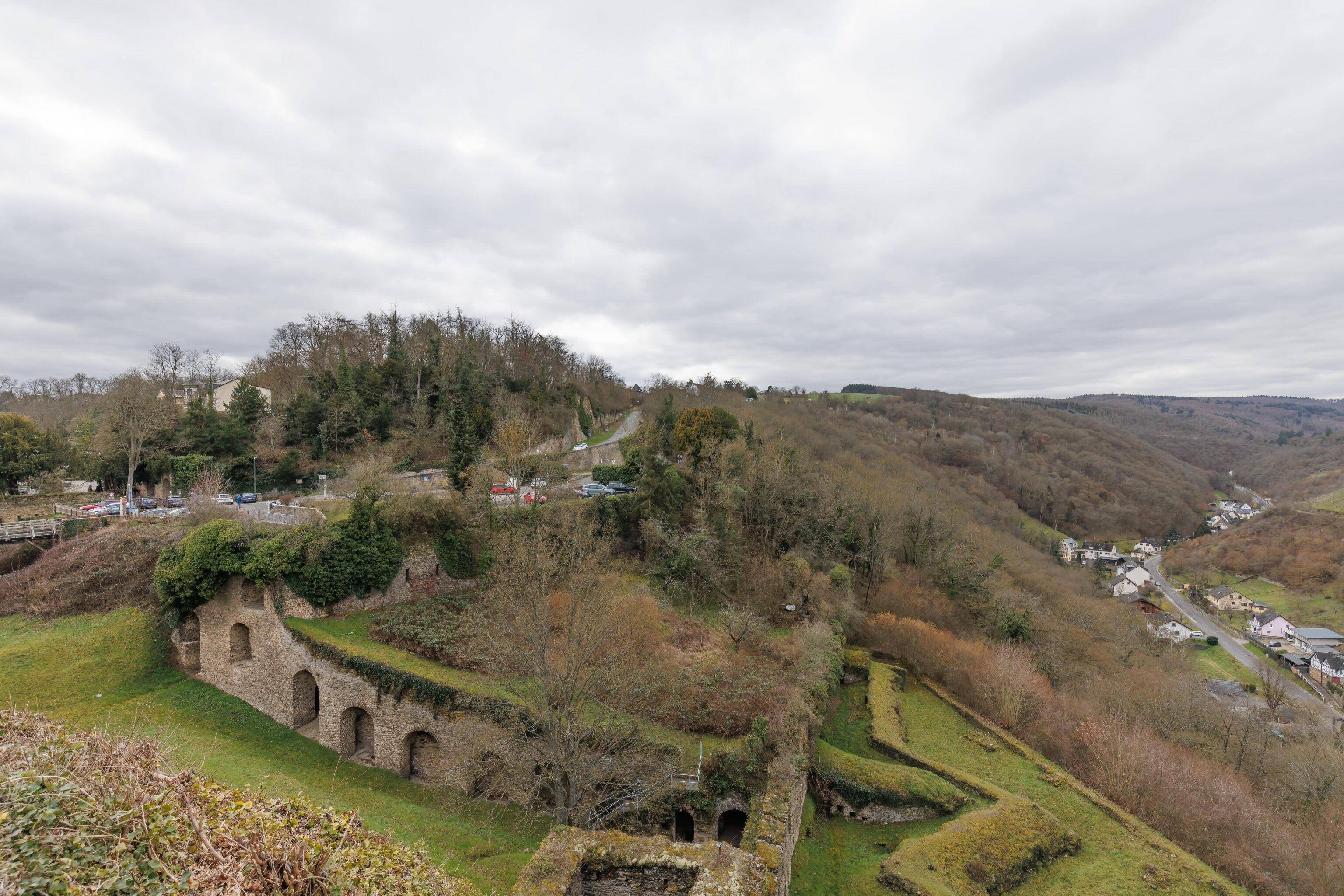
The castle, at some point in history, was much larger. Looking down, we could see what seems to be fortifications from the time when cannons were a form of defense.
We continued walking, headed towards the tower above the entrance.
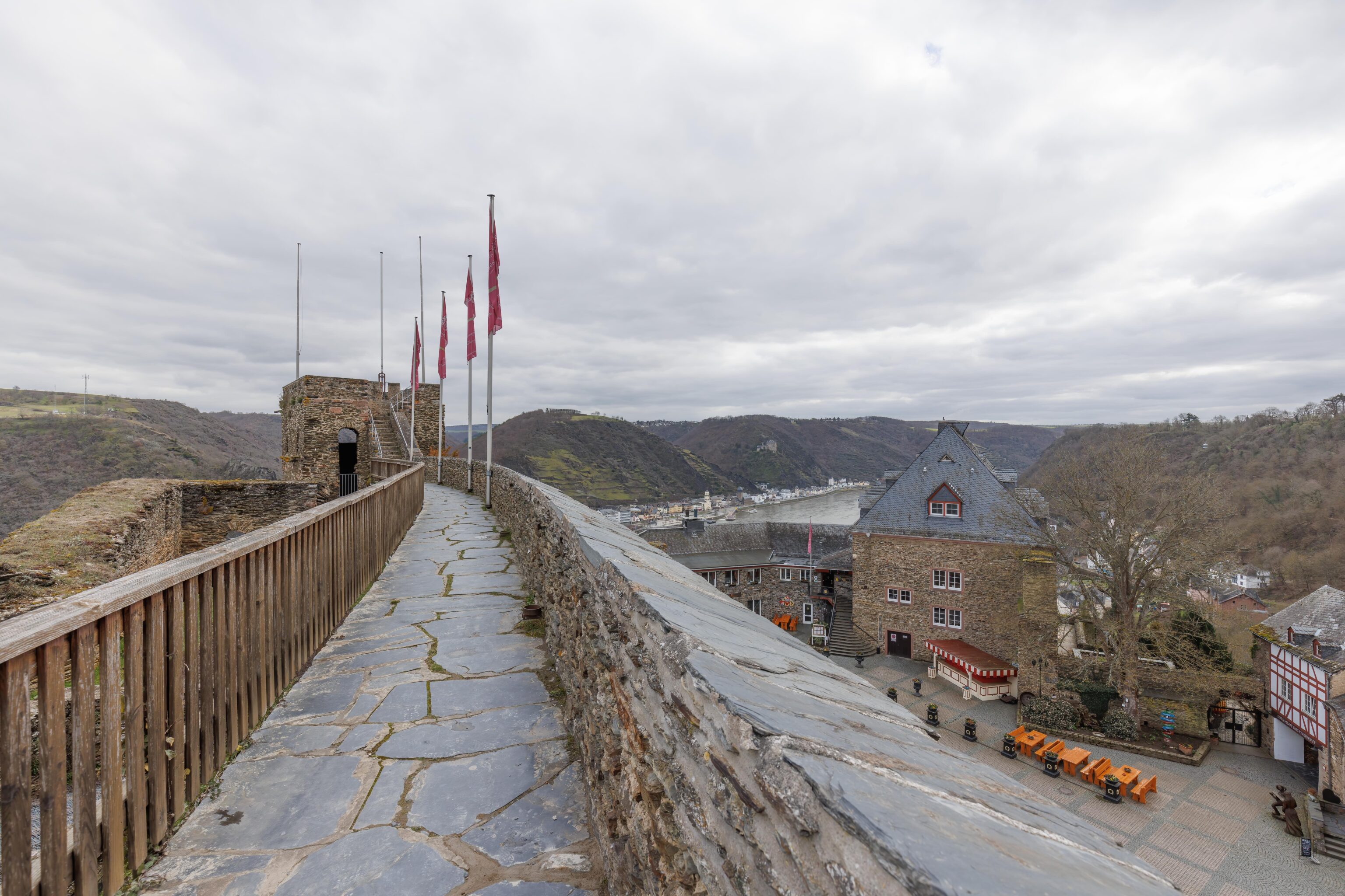
We climbed up some stairs and found ourselves atop the castle wall, looking down upon the hotel plaza that we entered from.
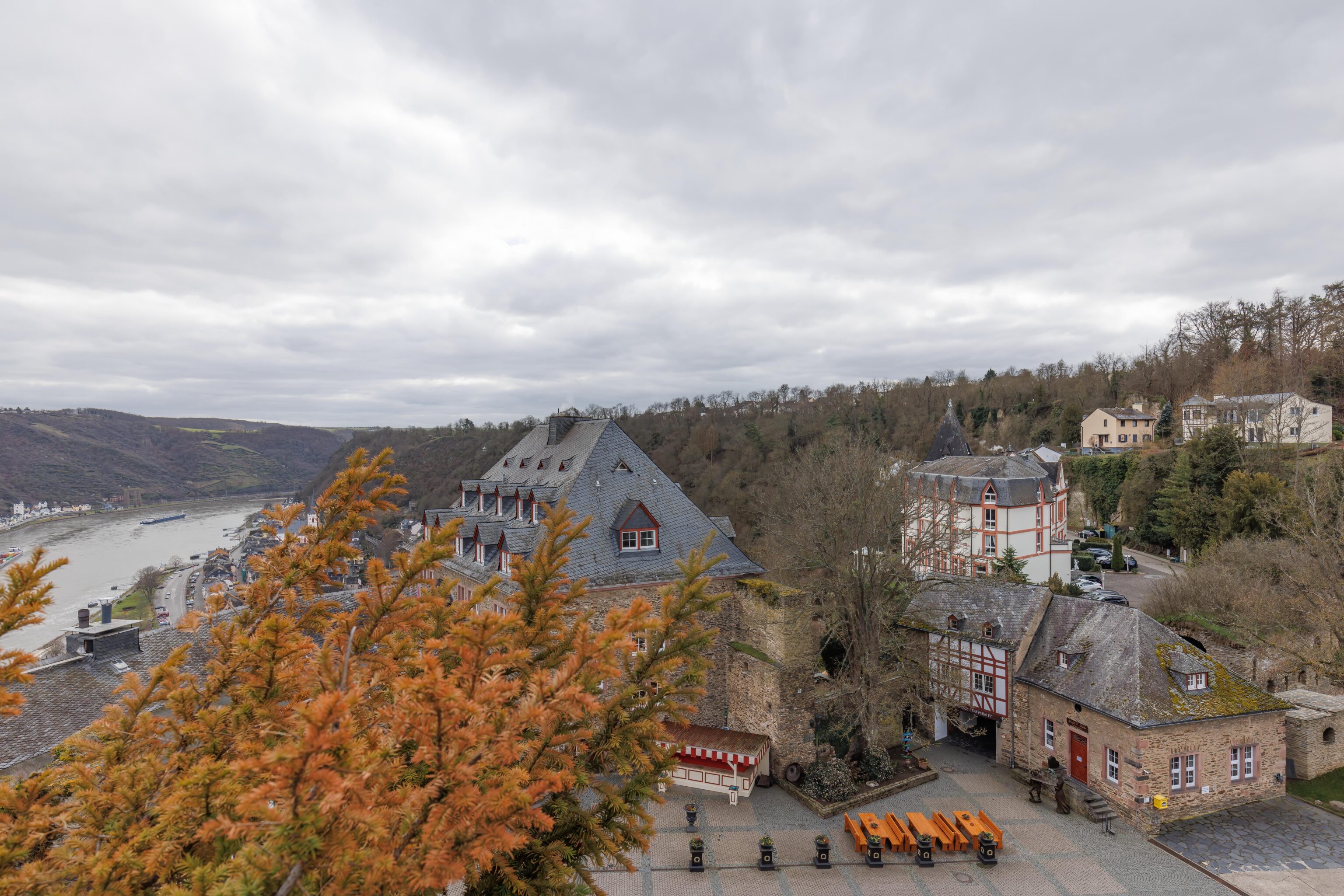
Looking at the hotel as we approached the tower. Mainly, I thought the tree in the foreground looked kind of pretty in the dull winter landscape and wanted to fit it into a photograph.
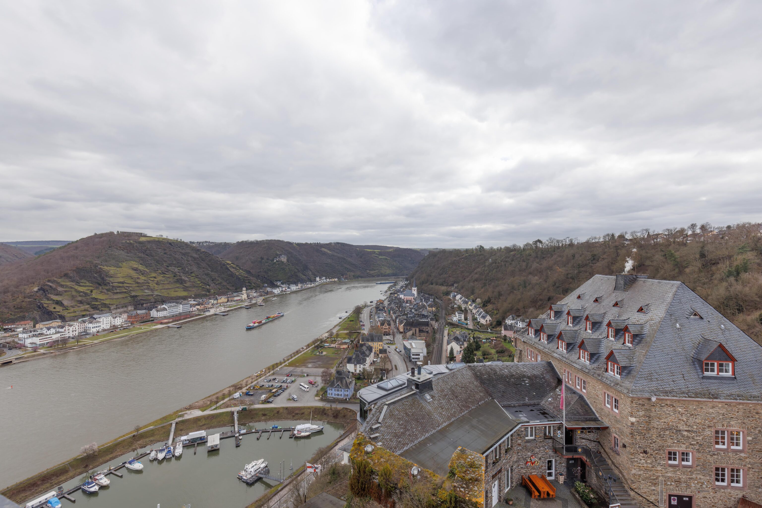
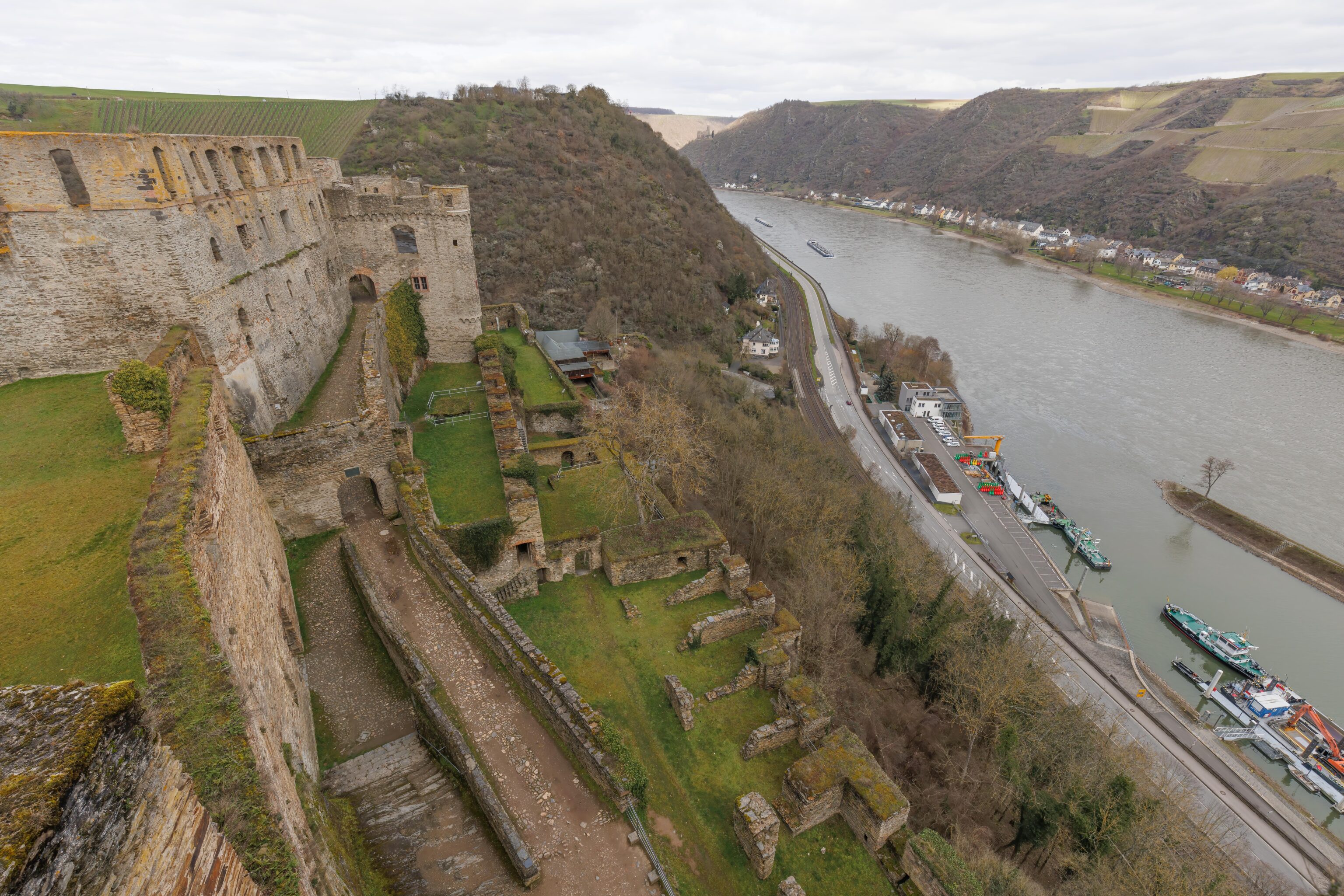
The top of the tower has fantastic views all around. The view to the east includes the riverside portion of St. Goar down below and the Rhine. The train station that we arrived from is by the church steeple in the distance. Some houses in the hilltop portion of the town of St. Goar are also visible on the right.
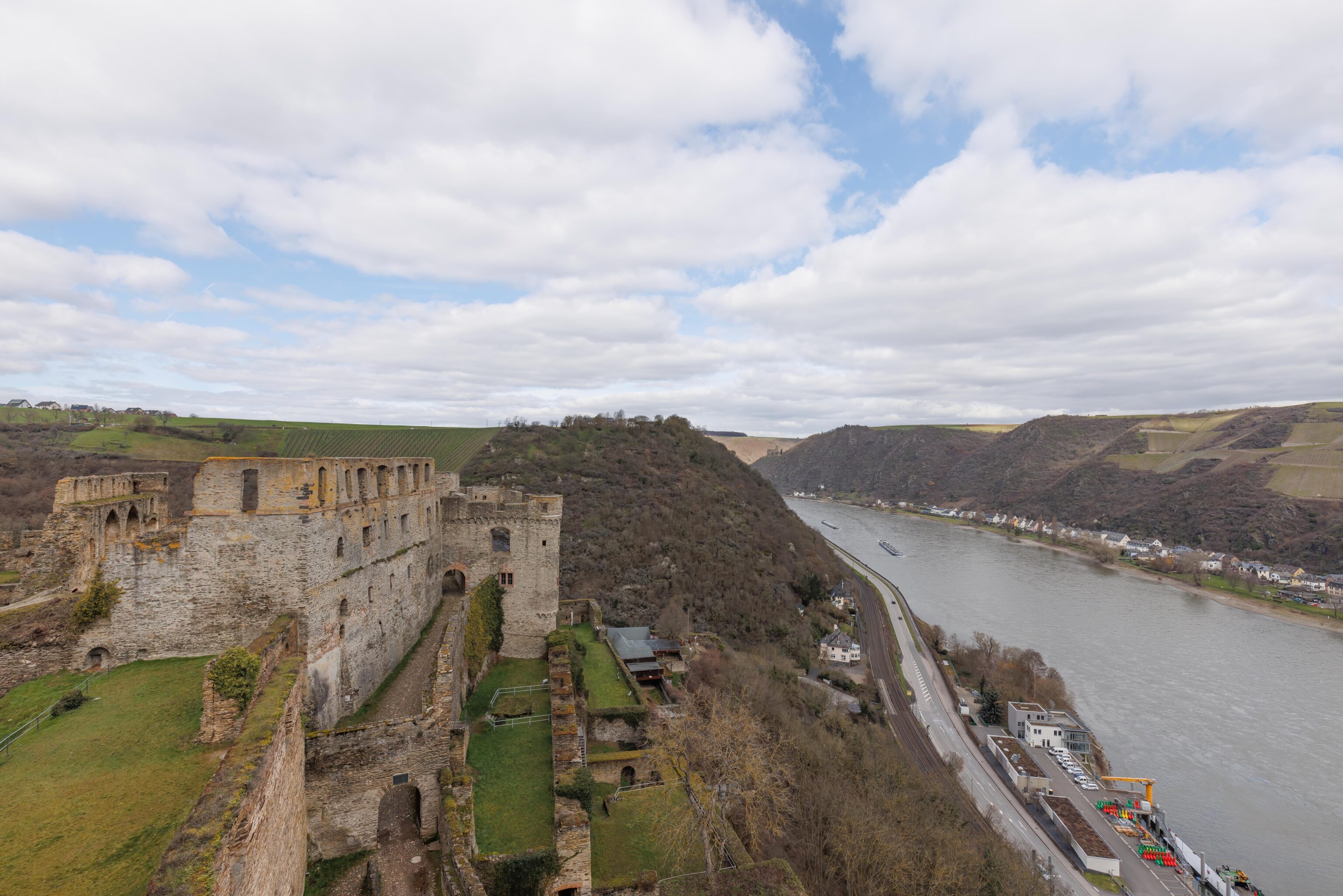
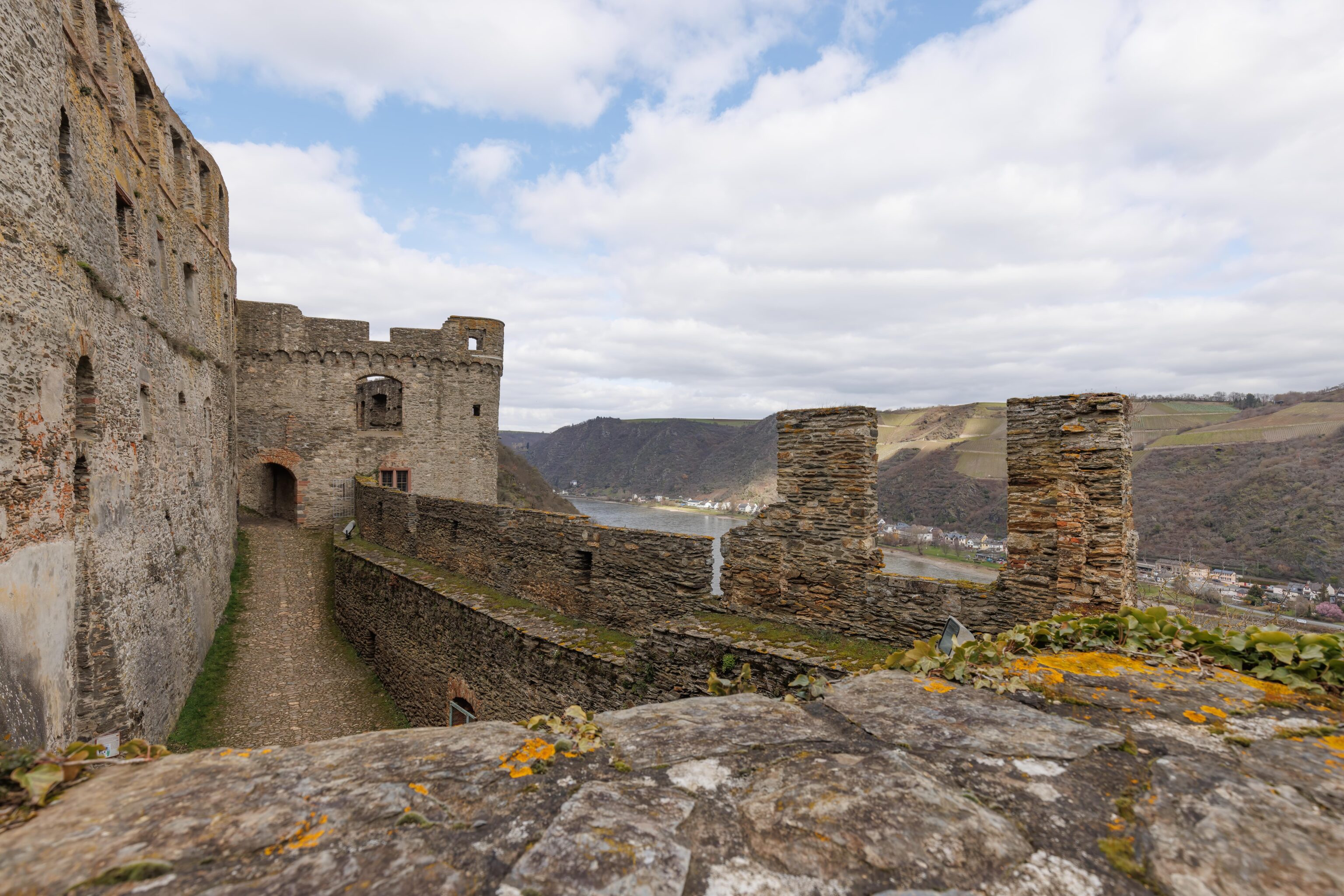
Looking to the west, we see the path through the castle that we took upon entering. To the right, the Rhine. There is another castle visible on the opposite side in the background where the river curves to the left and then the right.
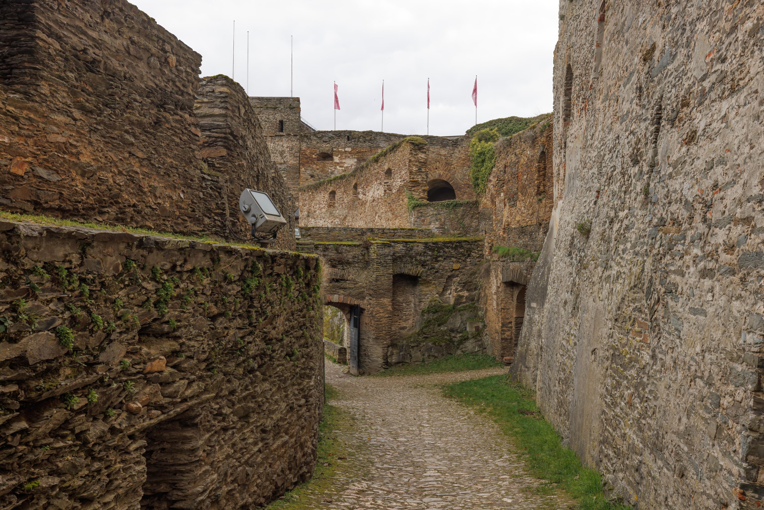
A better view of the path that we took after entering. None of the grassy areas on the right side of the castle are accessible. It seems to be part of the area that is closed for the bats.
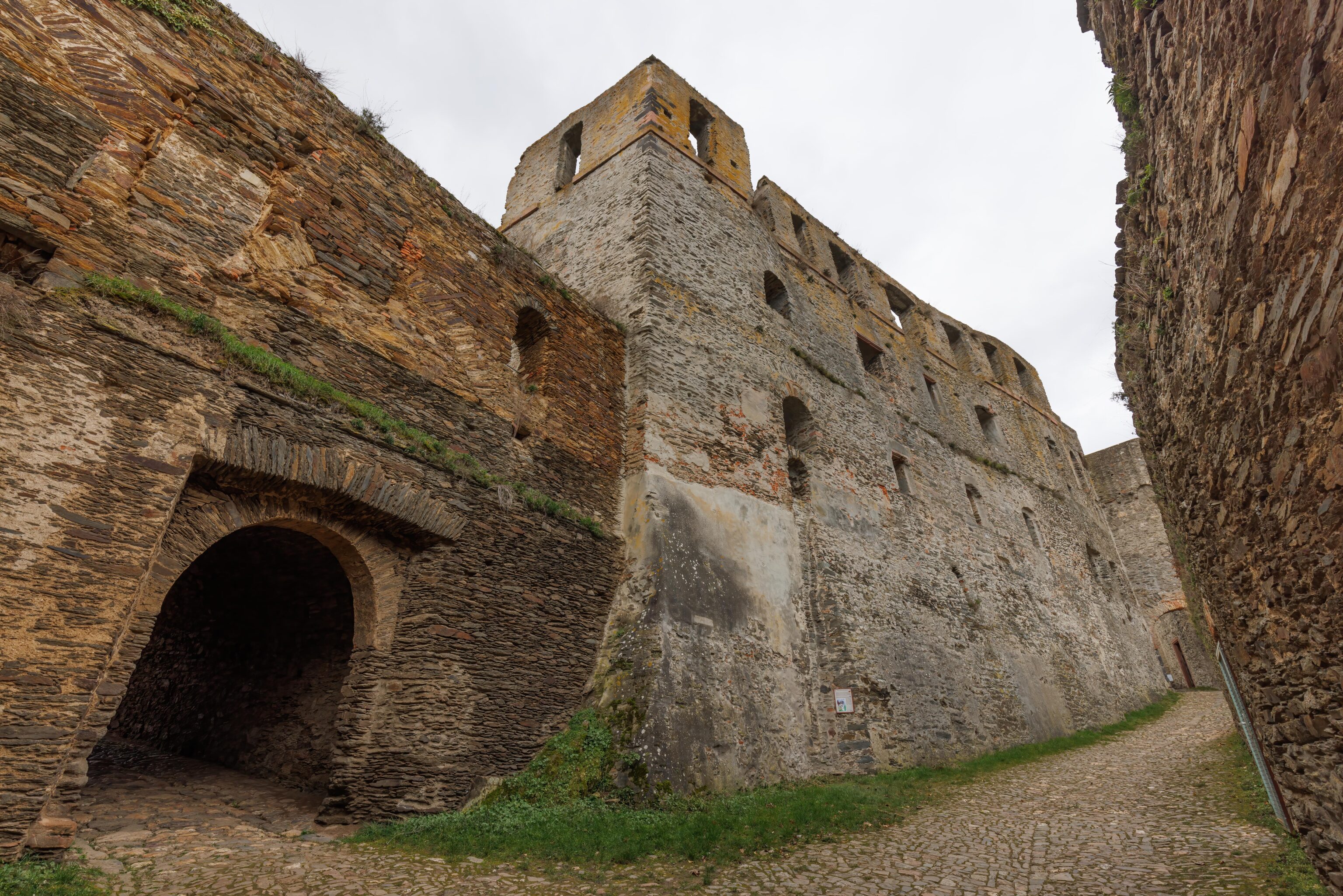
After enjoying the view, we headed back down. We were able to get this view lower down of the path that we took after entering.
After exiting the castle, we started to walk back towards the train station. We decided to take a different route on the way down. We walked by this view of the southern edge of the castle as we passed through the parking lot.
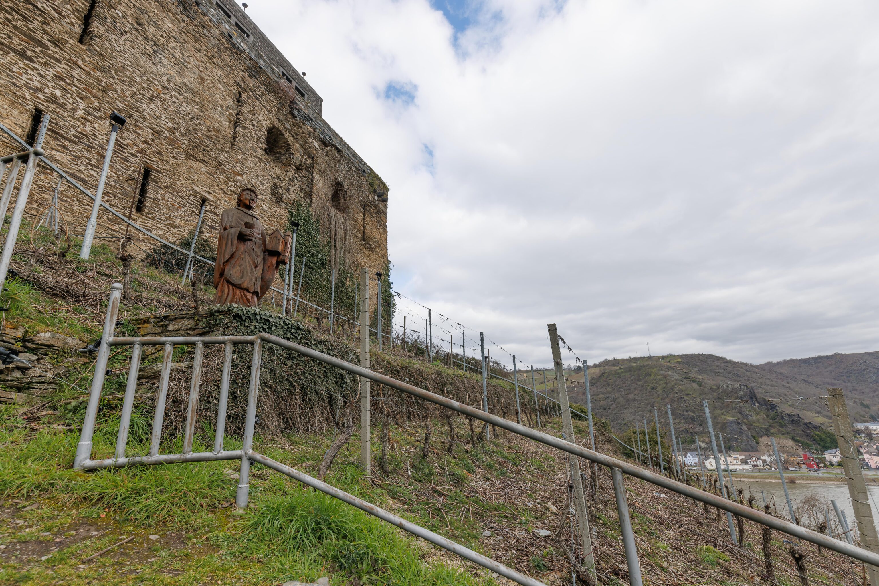
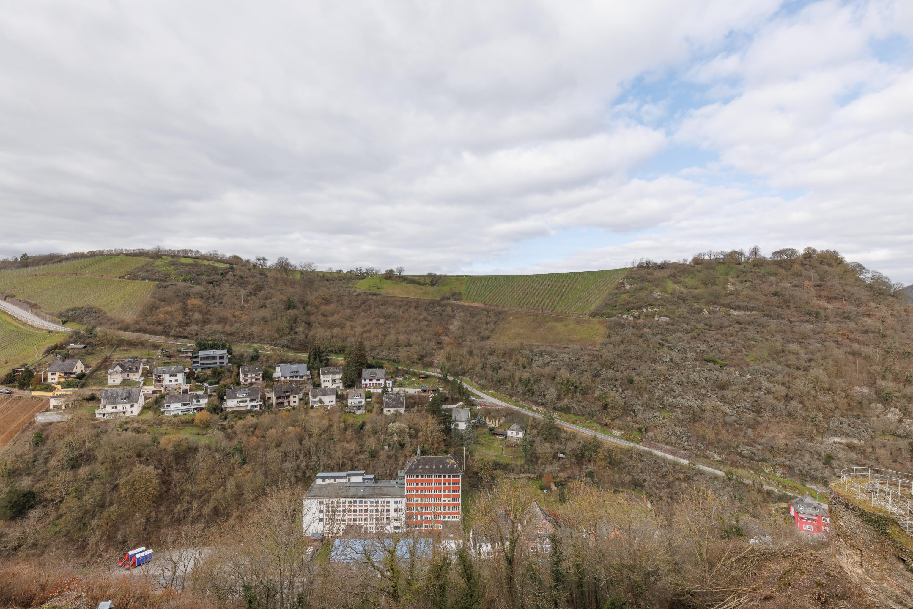
We briefly walked on the sidewalk on a steeply descending road but then transitioned to a hiking trail. It descended rather steeply. All the slopes in the region seem to be in use as grape vineyards.
Back to the Town of Sankt Goar
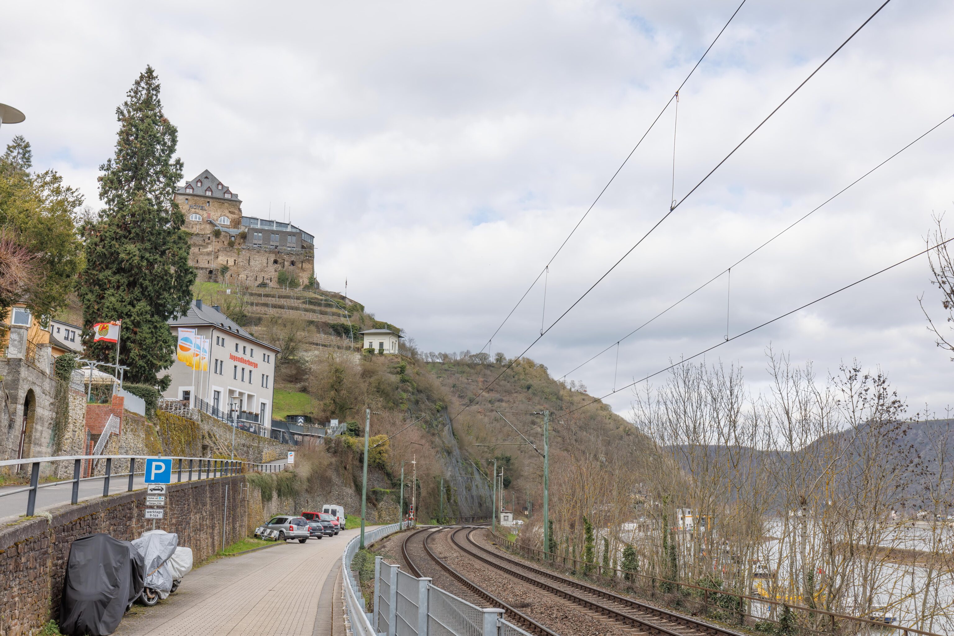
We soon made it back down to the town by the Rhine. We ended up right next to the train tracks. From this spot, we could see the hotel up on the mountain that we descended from but not the castle beyond it.
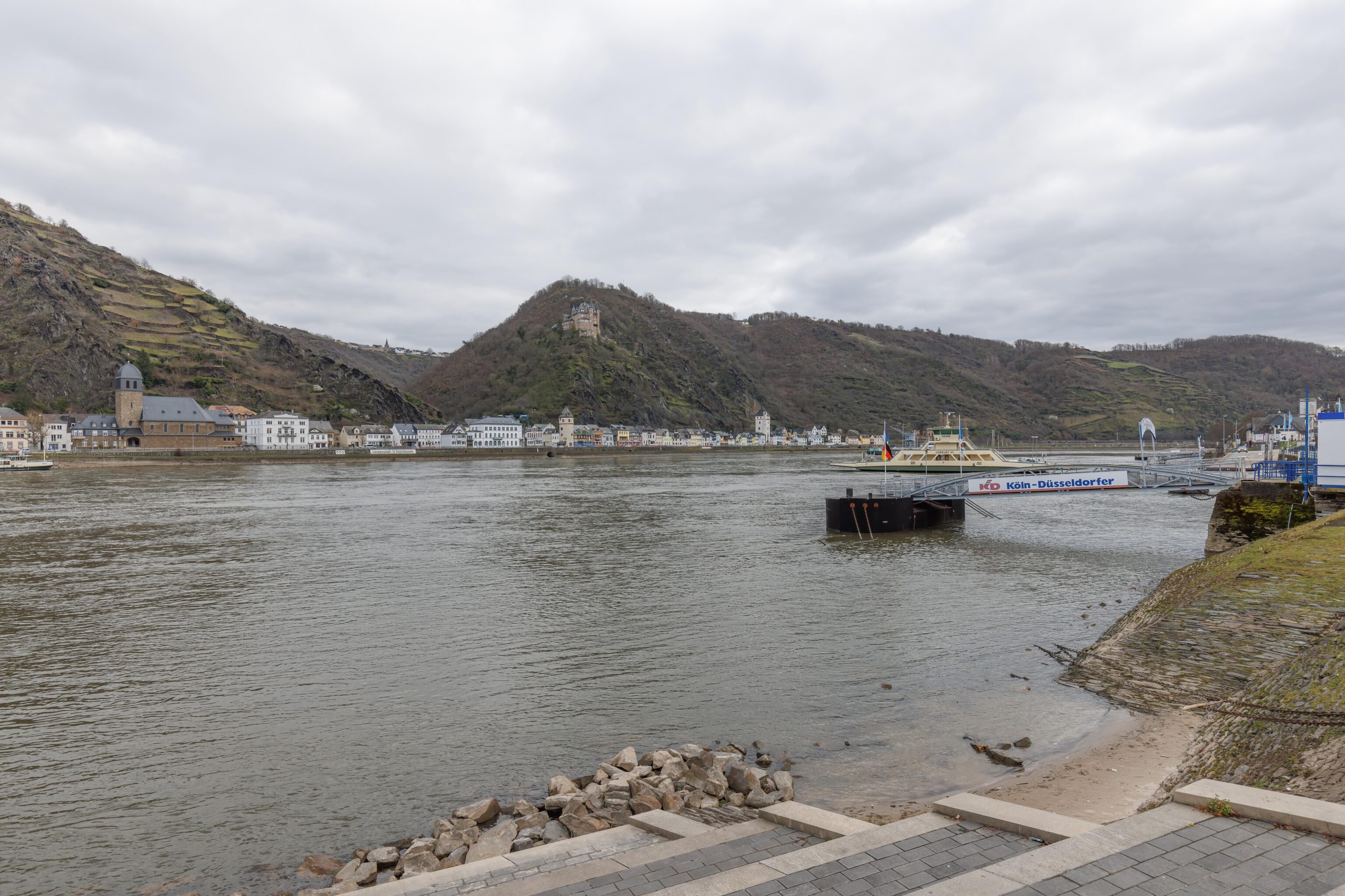
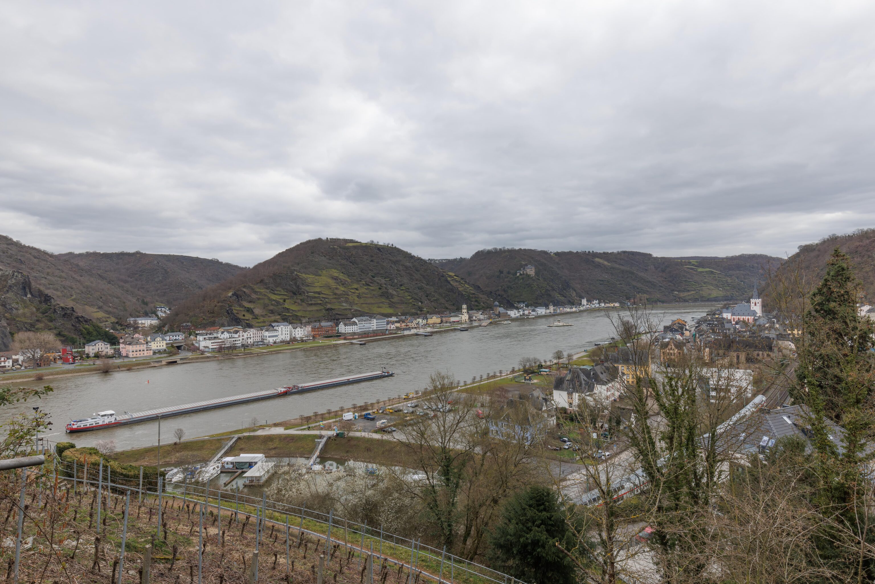
We walked through town to reach the Rhine. There is another castle on the other side as well as a hilltop town. At this point, we were pretty hungry but nearly all the businesses in St. Goar were closed. We decided to catch the next train and headed to the train station.
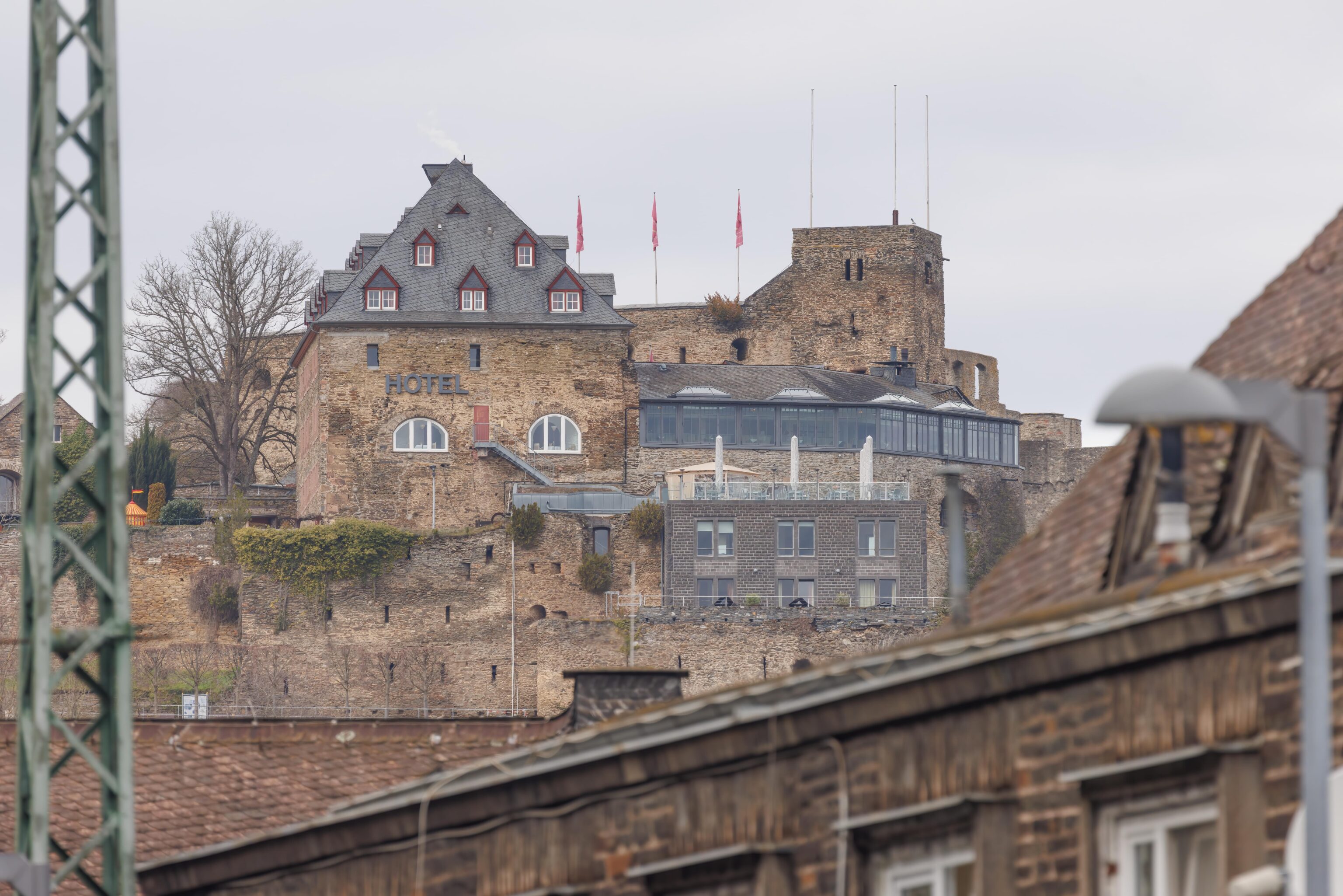
We had quite a bit of time to wait for the next train as it ended up being 25 minutes late. There is hourly service to this station so it was a pretty substantial delay. We were able to get a better view of the castle from the far end of the platform. From here, we could see the entrance tower and part of the castle wall. The hotel still occupies most of the view though. The best view is likely from the other side of the Rhine.
Bacharach
Eventually, the train came and we rode it two stops upriver to the town of Bacharach.
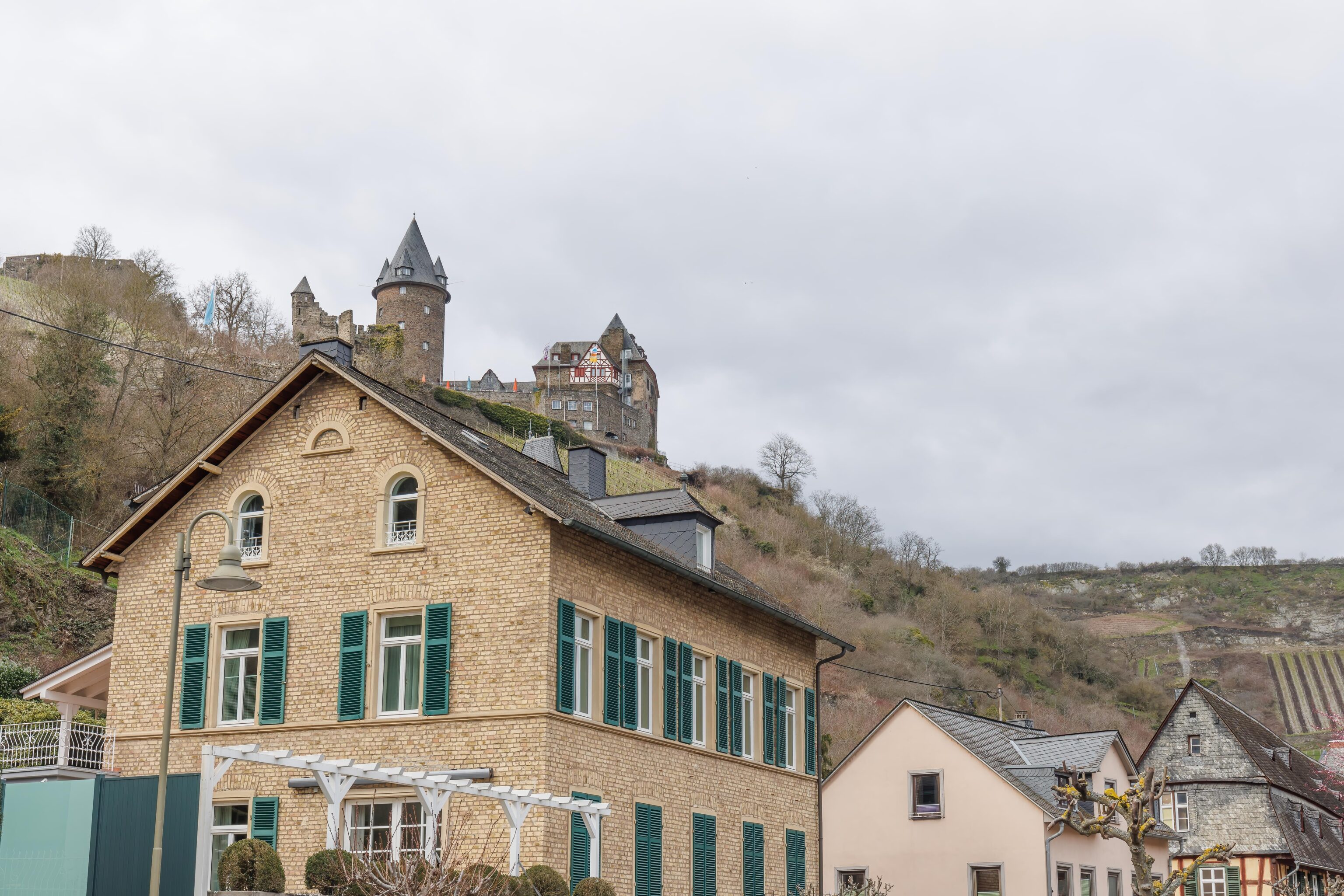
Bacharach has ruins in the mountain above. Most visible are a number of towers that remain. There is also a castle that is in use as a hostel and restaurant.
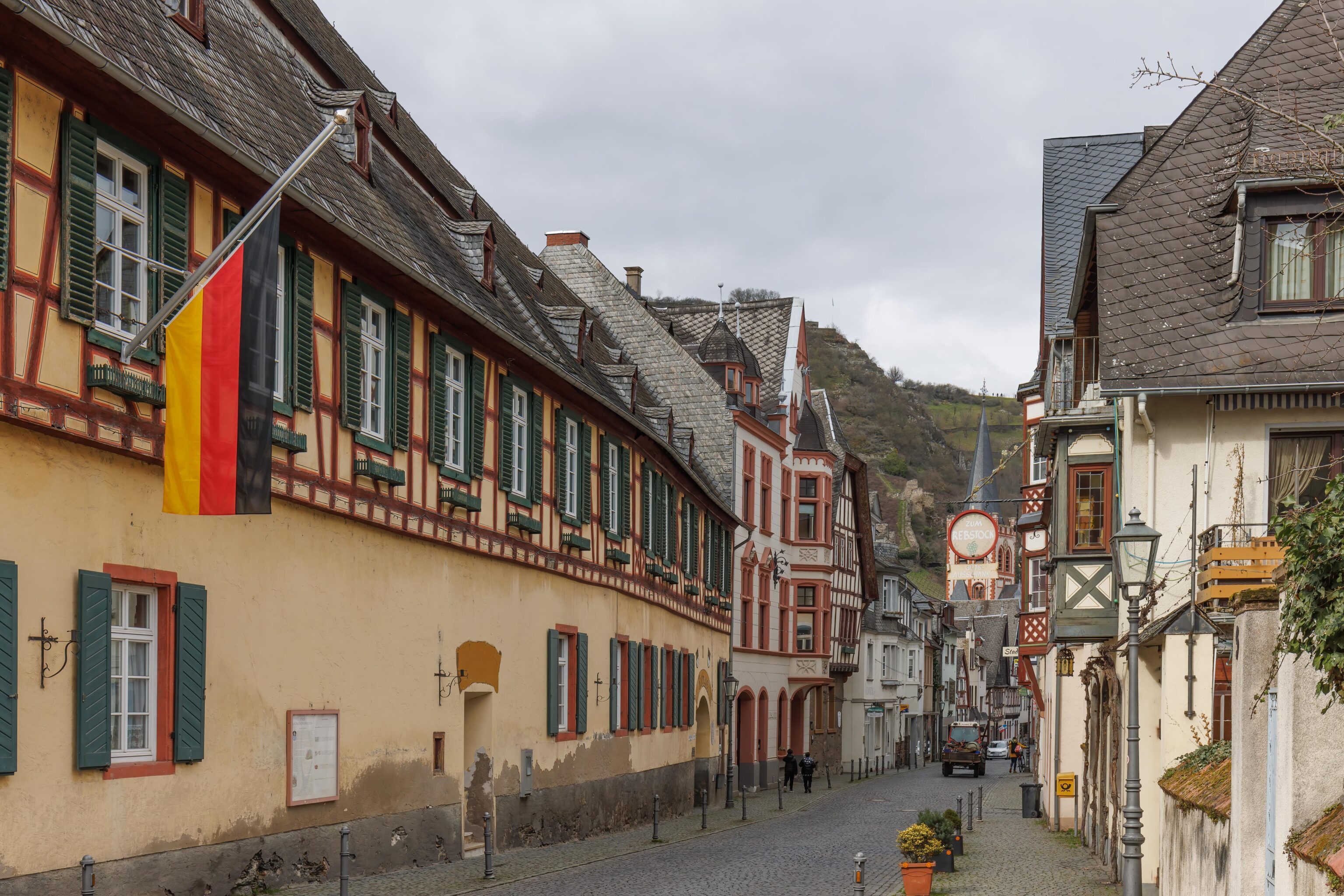
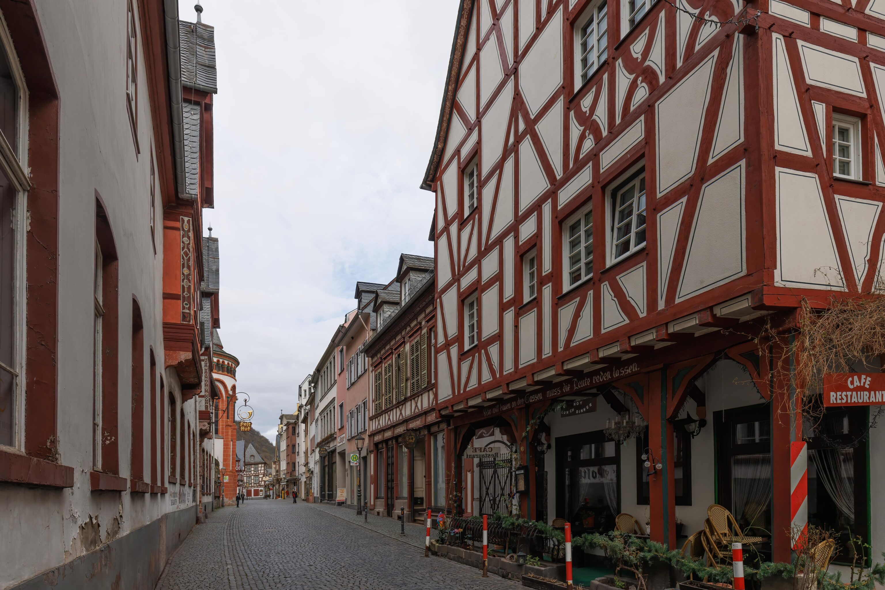
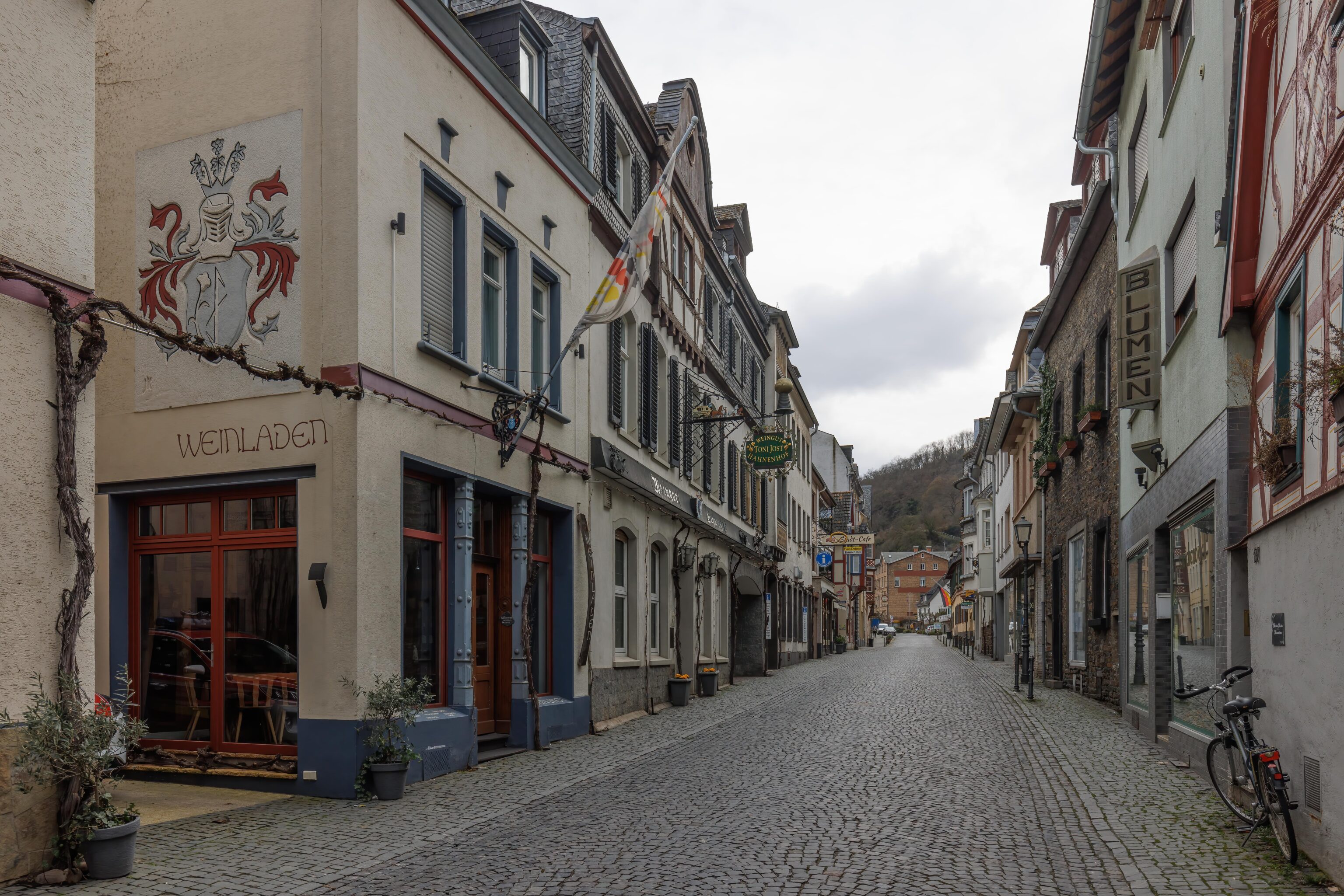
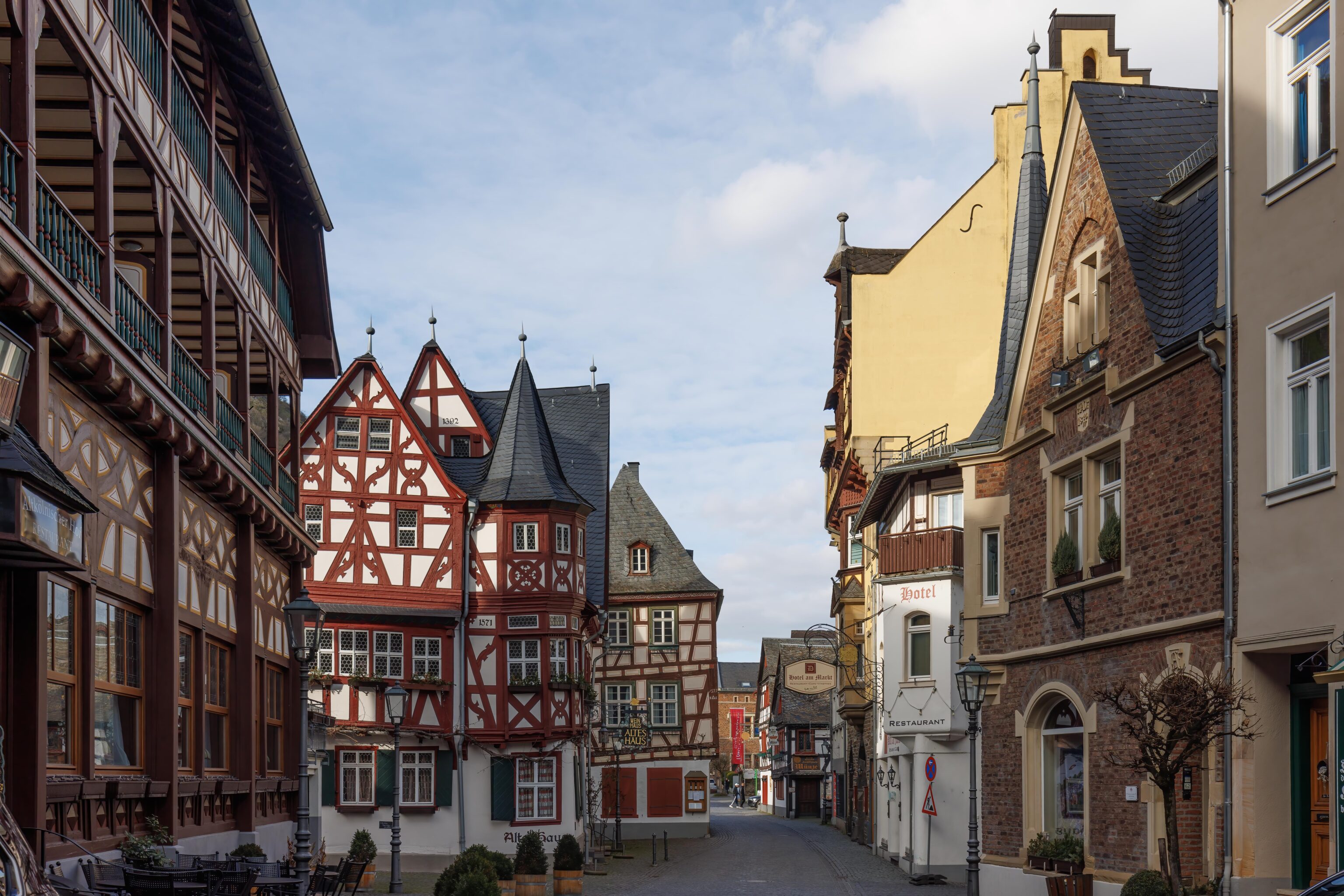
Bacharach’s old town area is slightly less dead than St. Goar. We did manage to find a döner kebab restaurant to eat at.
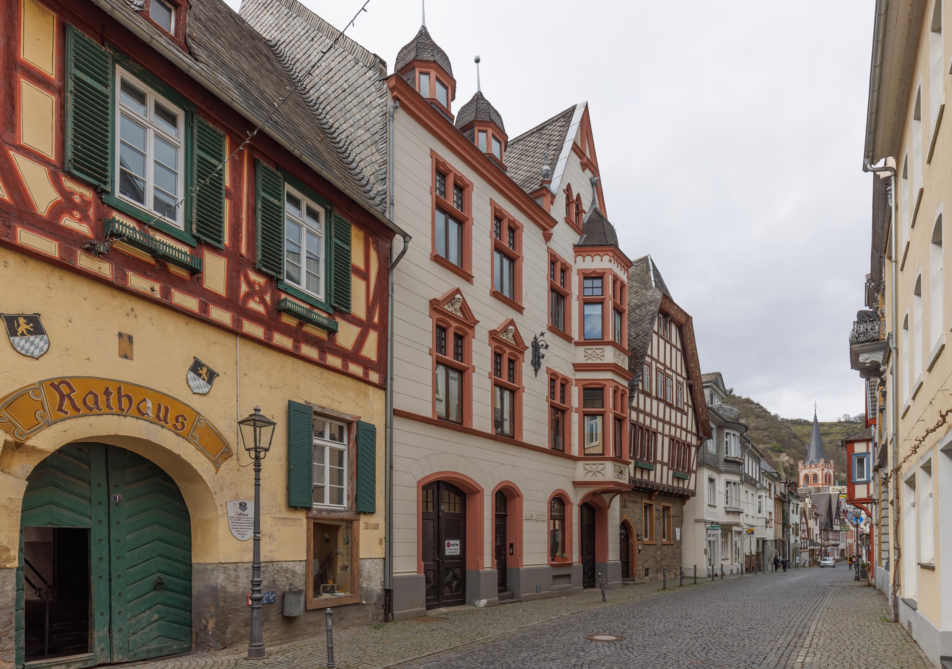
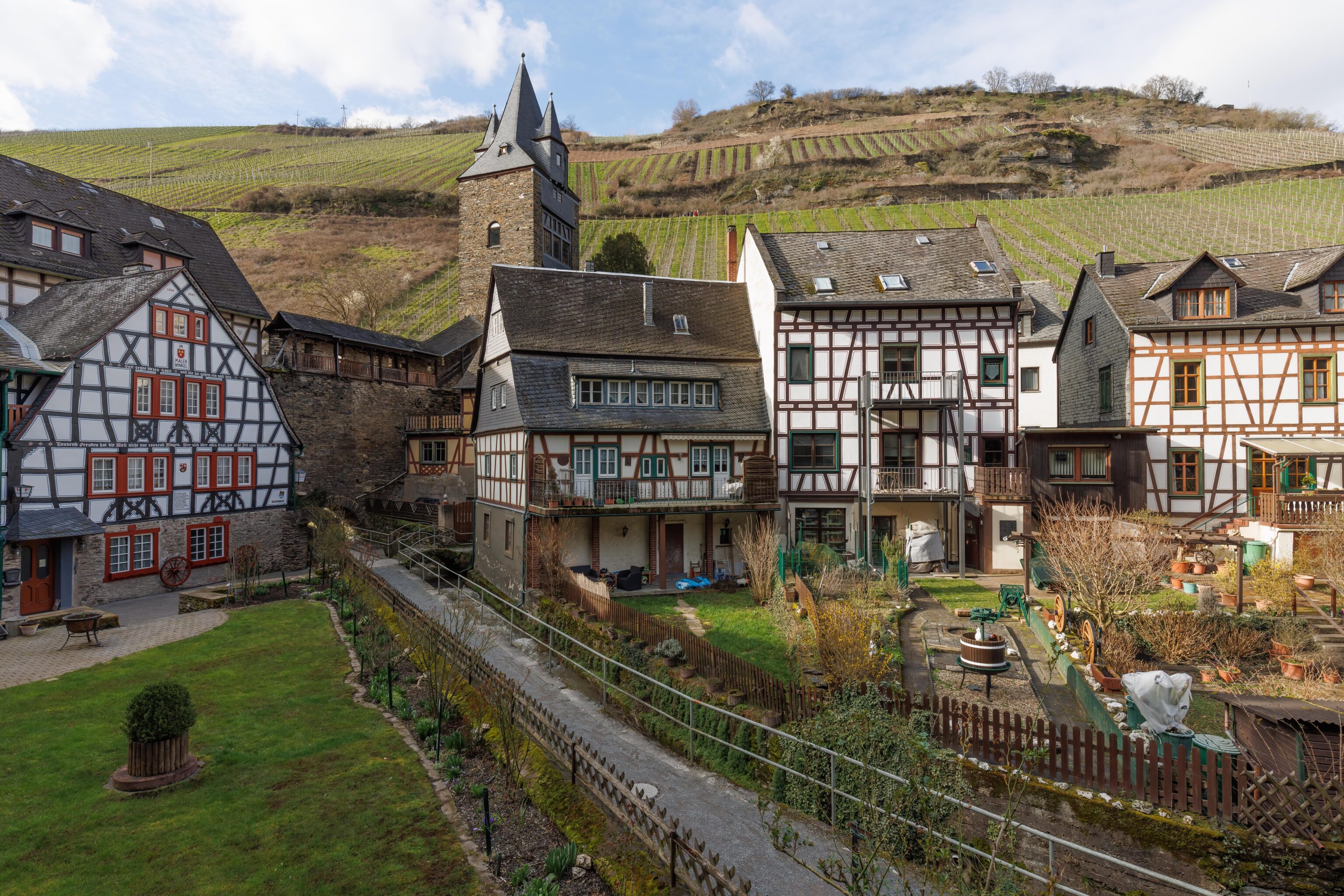
After our much needed lunch, we started hiking up on a trail that starts by the town’s historic rathaus, or town hall. The first tower that we see is the Hat Tower. The trail ascends steeply here. The fence is to prevent people from falling!
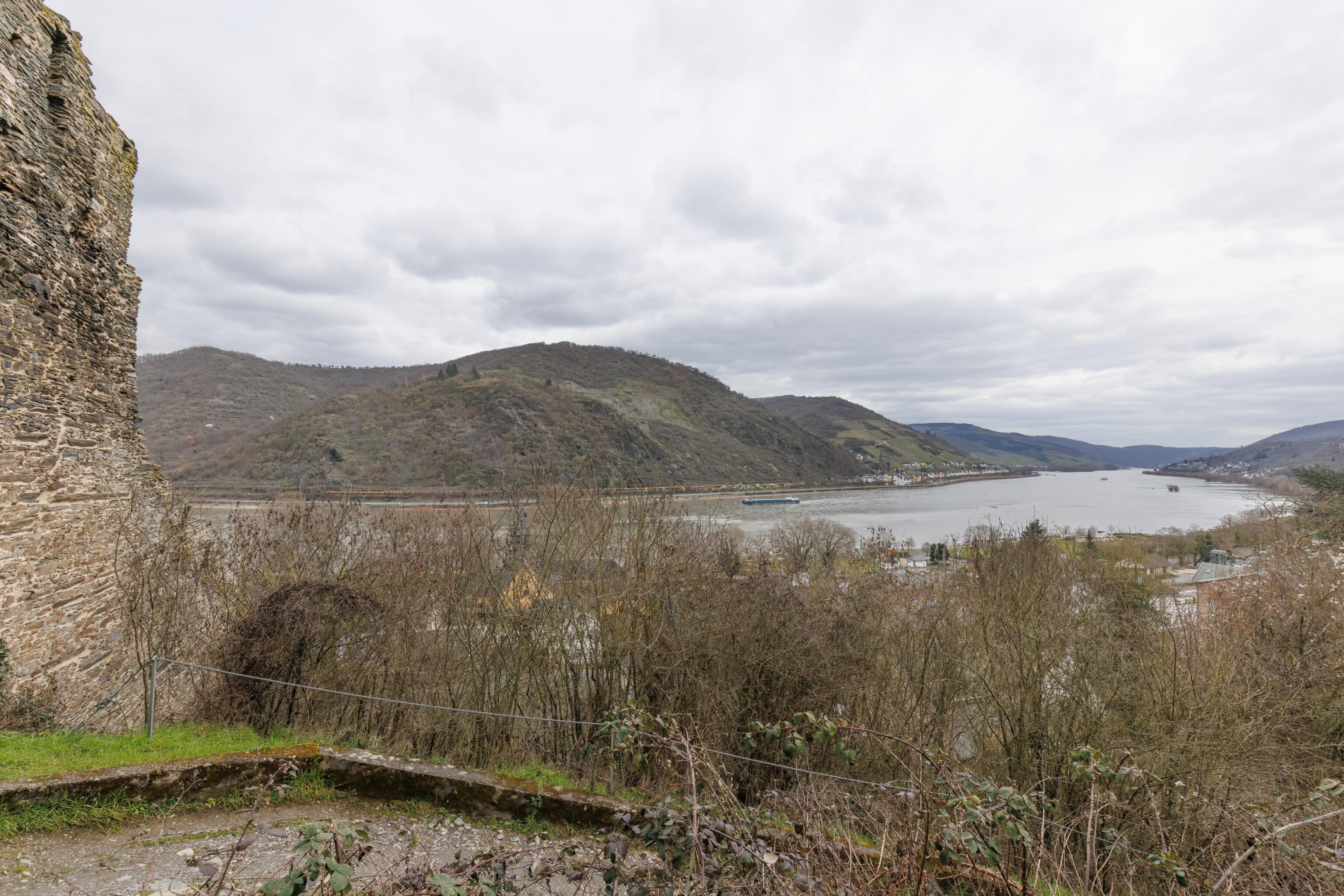
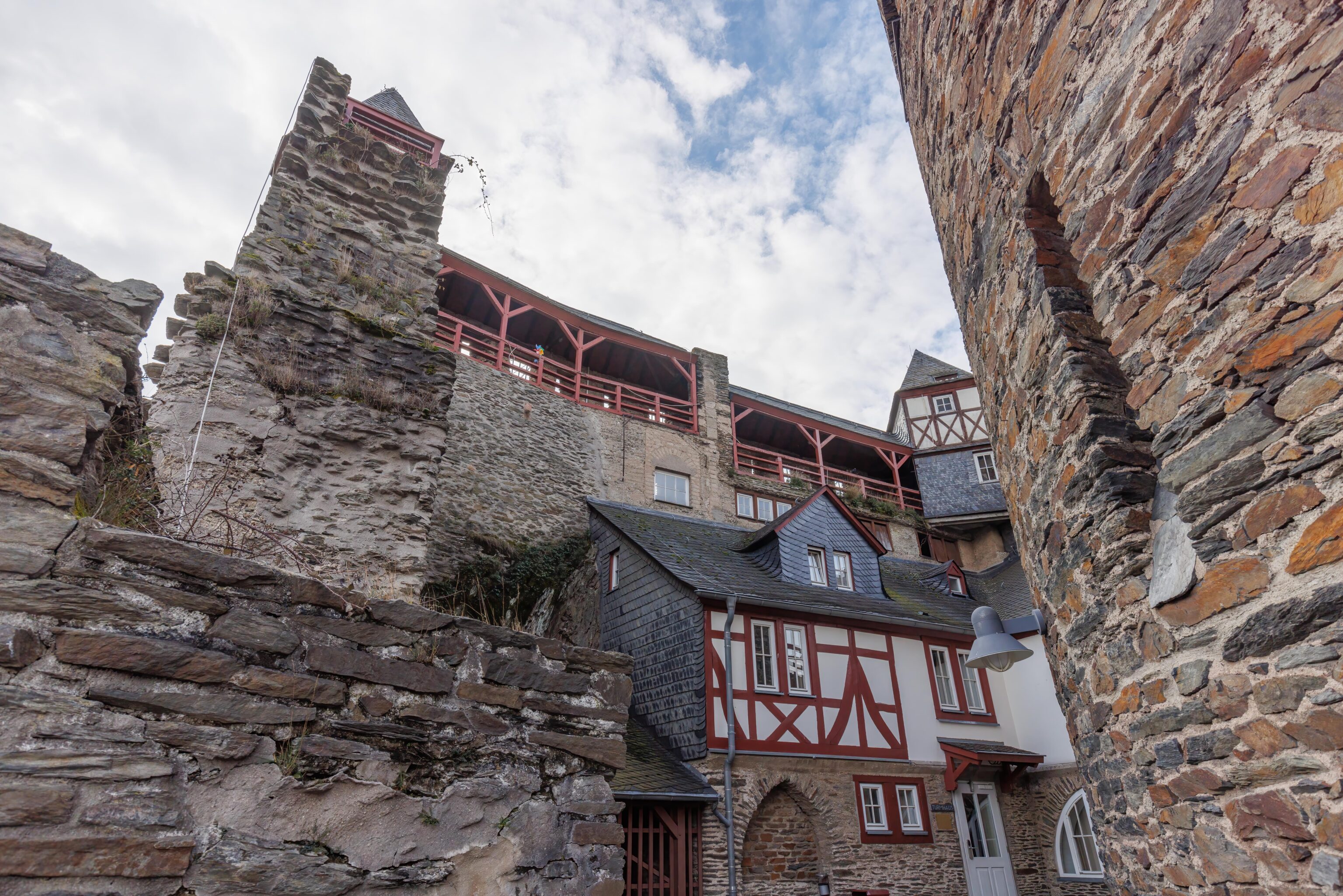
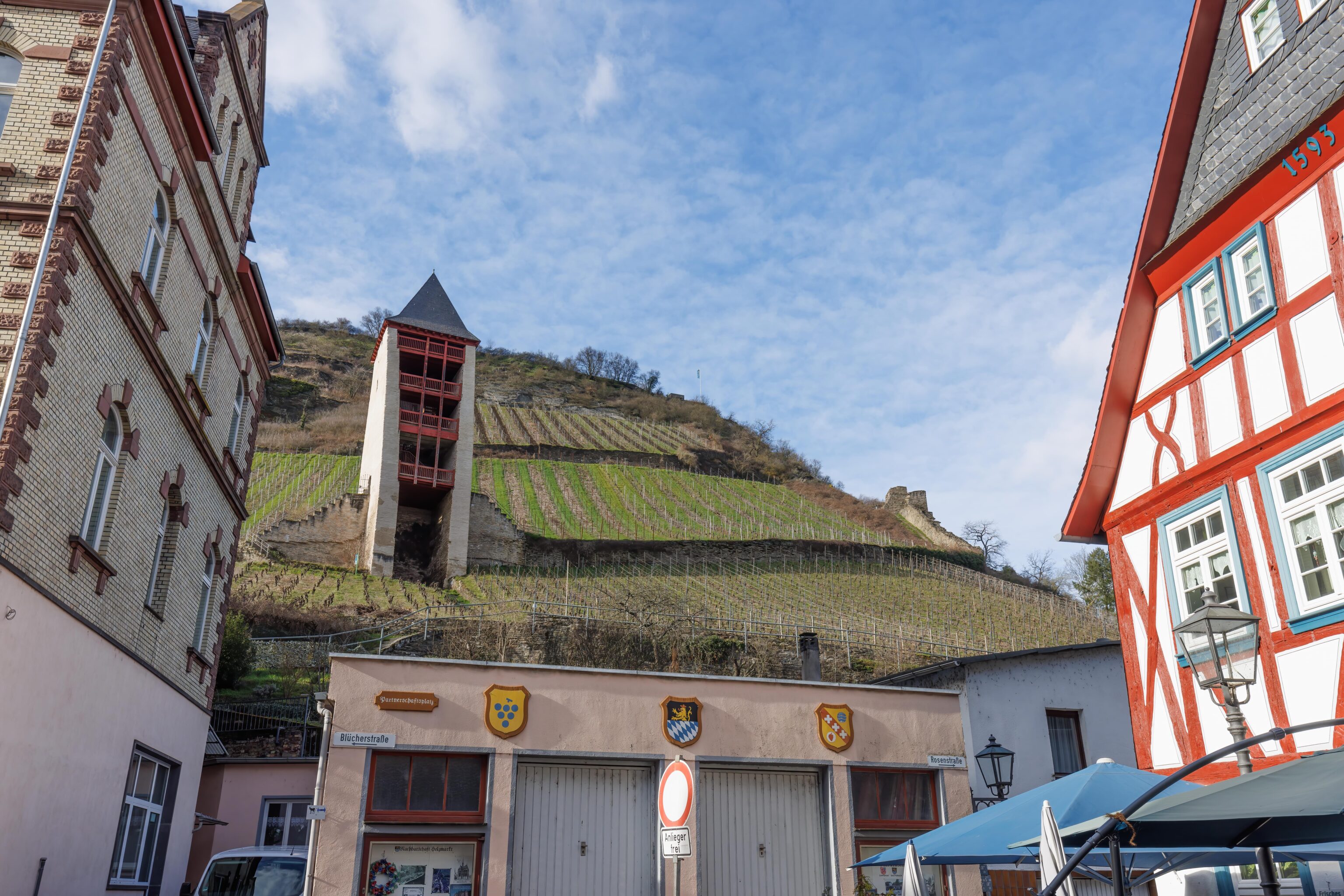
We soon reached this larger ruin structure, visible towering above us on the left. What is a atop it?
It turns out that it has a nice flat area where you can stand. The structure is built on a steep slope so after taking the trail up you can simply walk out atop it. It is something like a tower embedded into the hillside.
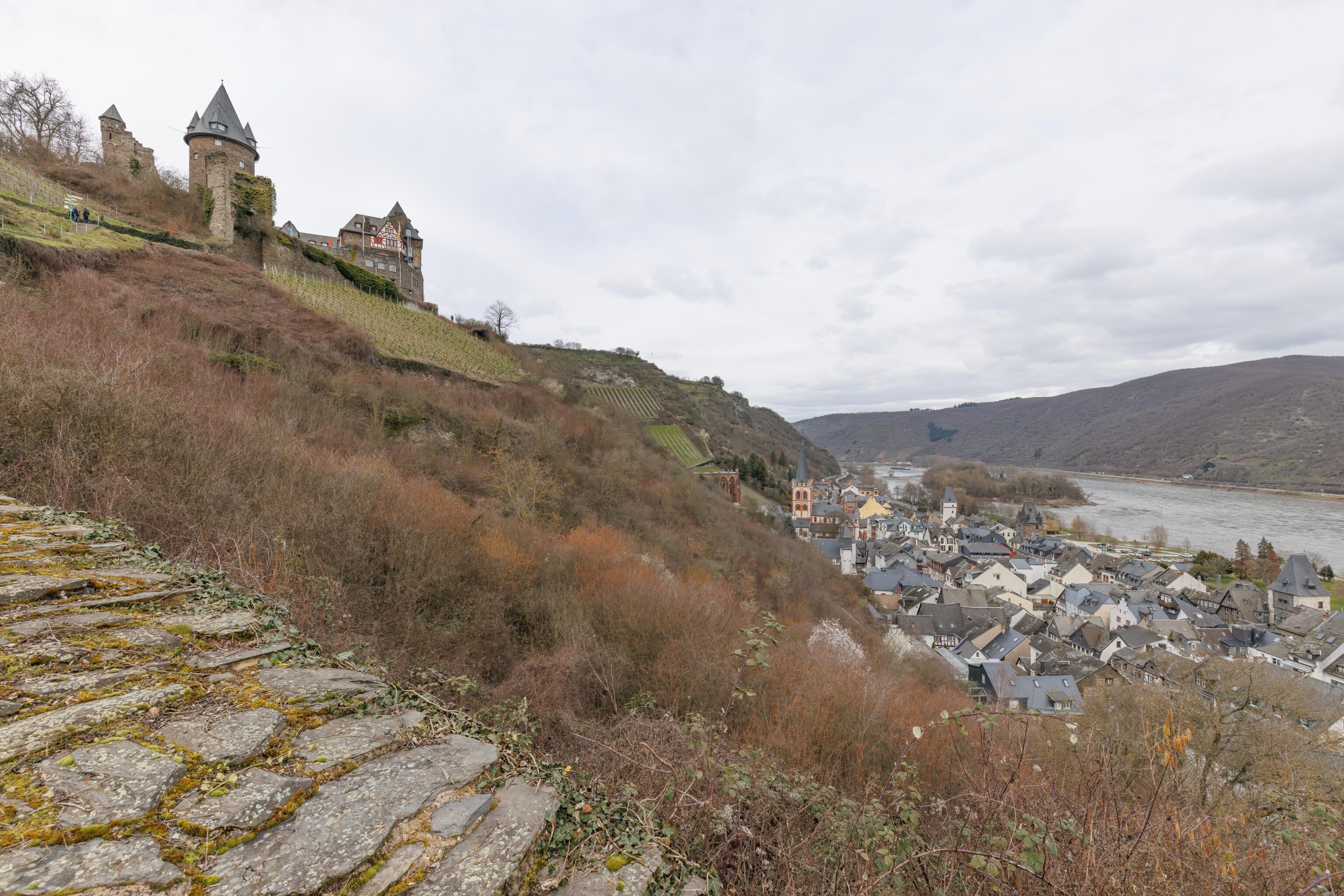
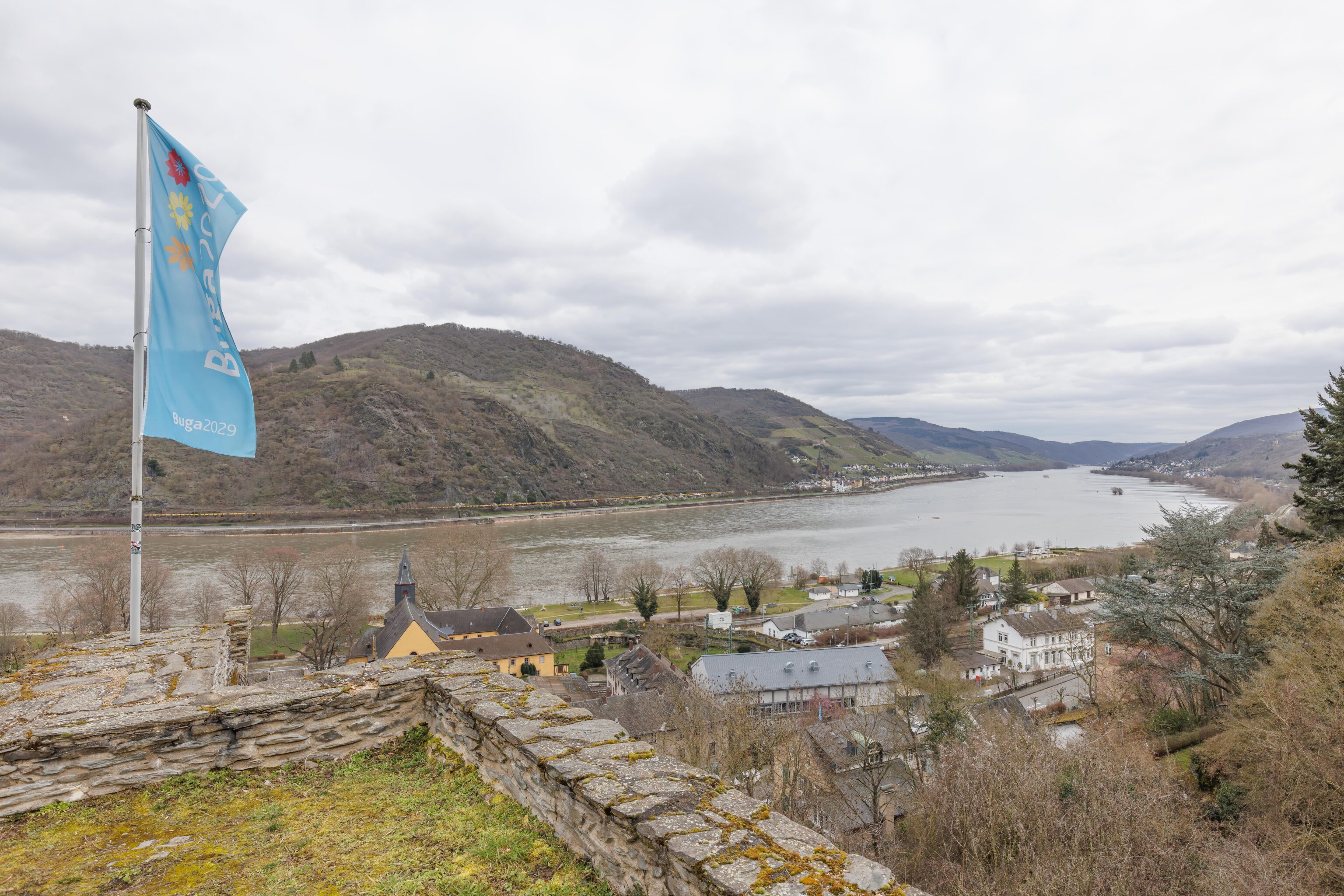
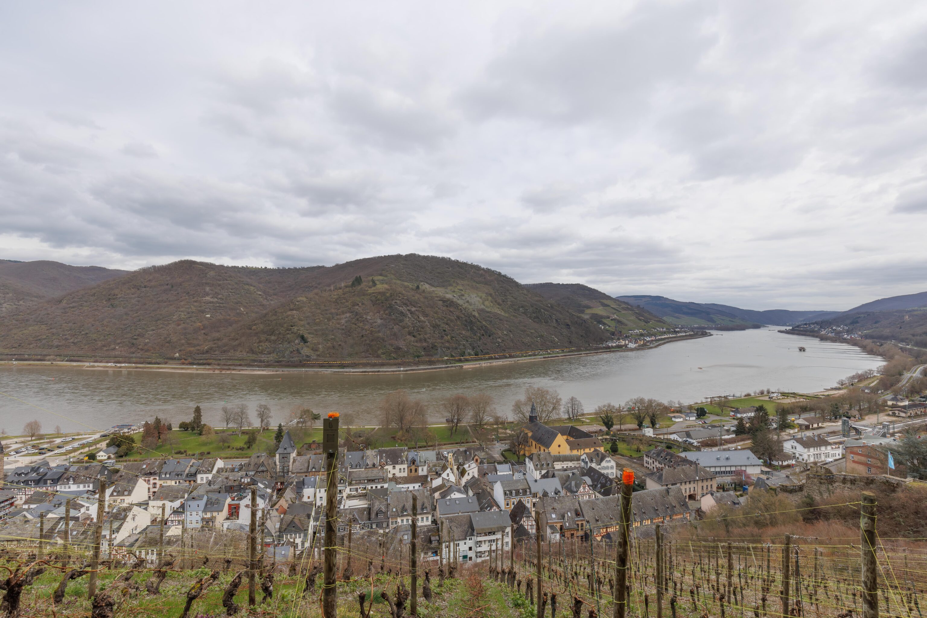
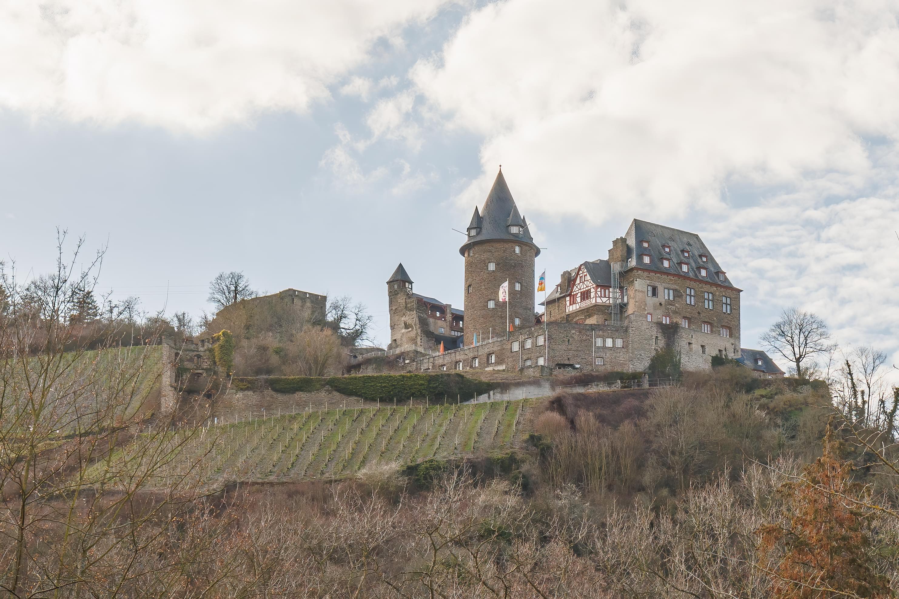
We continued upward on the steep trail. We could see the castle above us and the town down below.
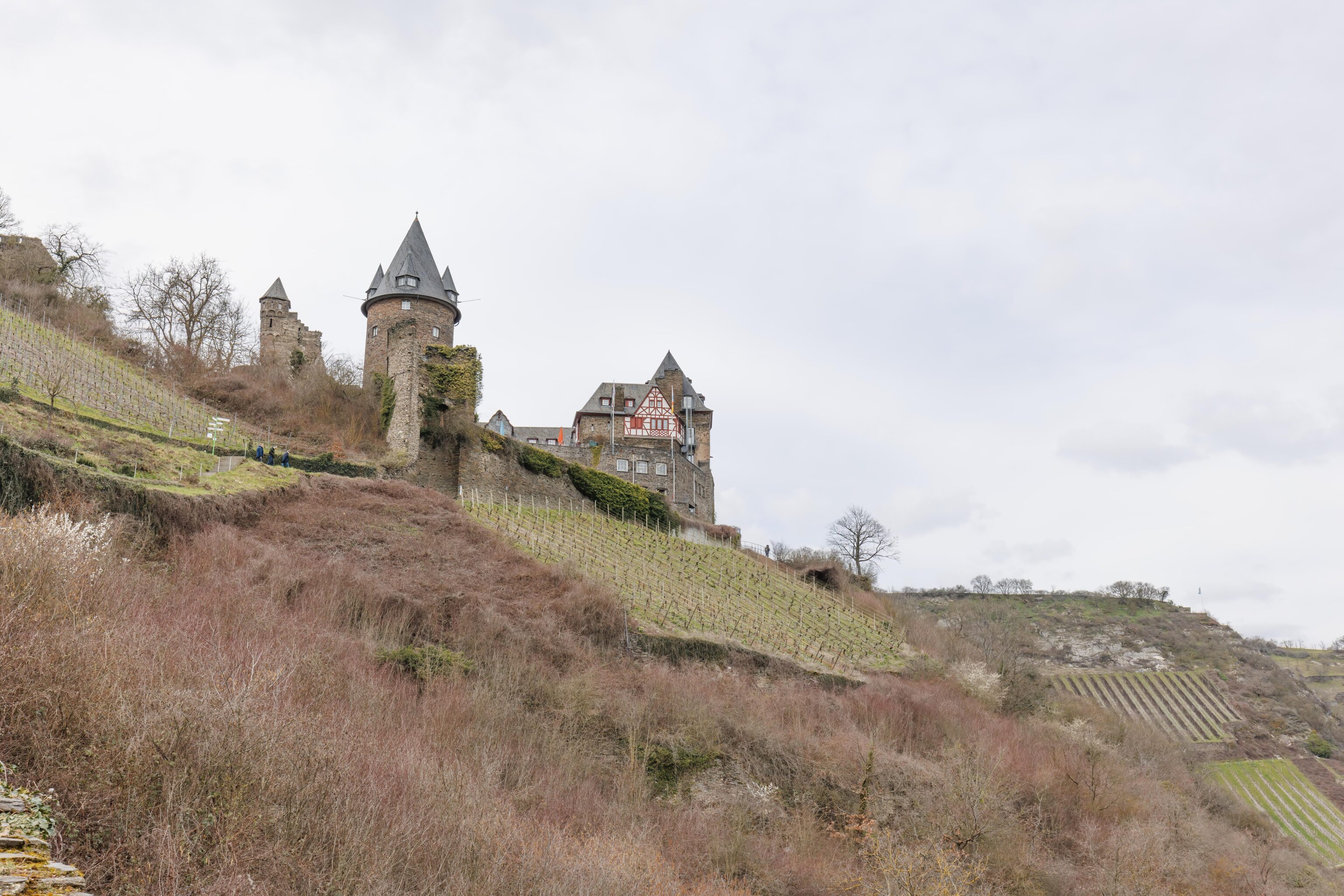
A closer view of the castle.
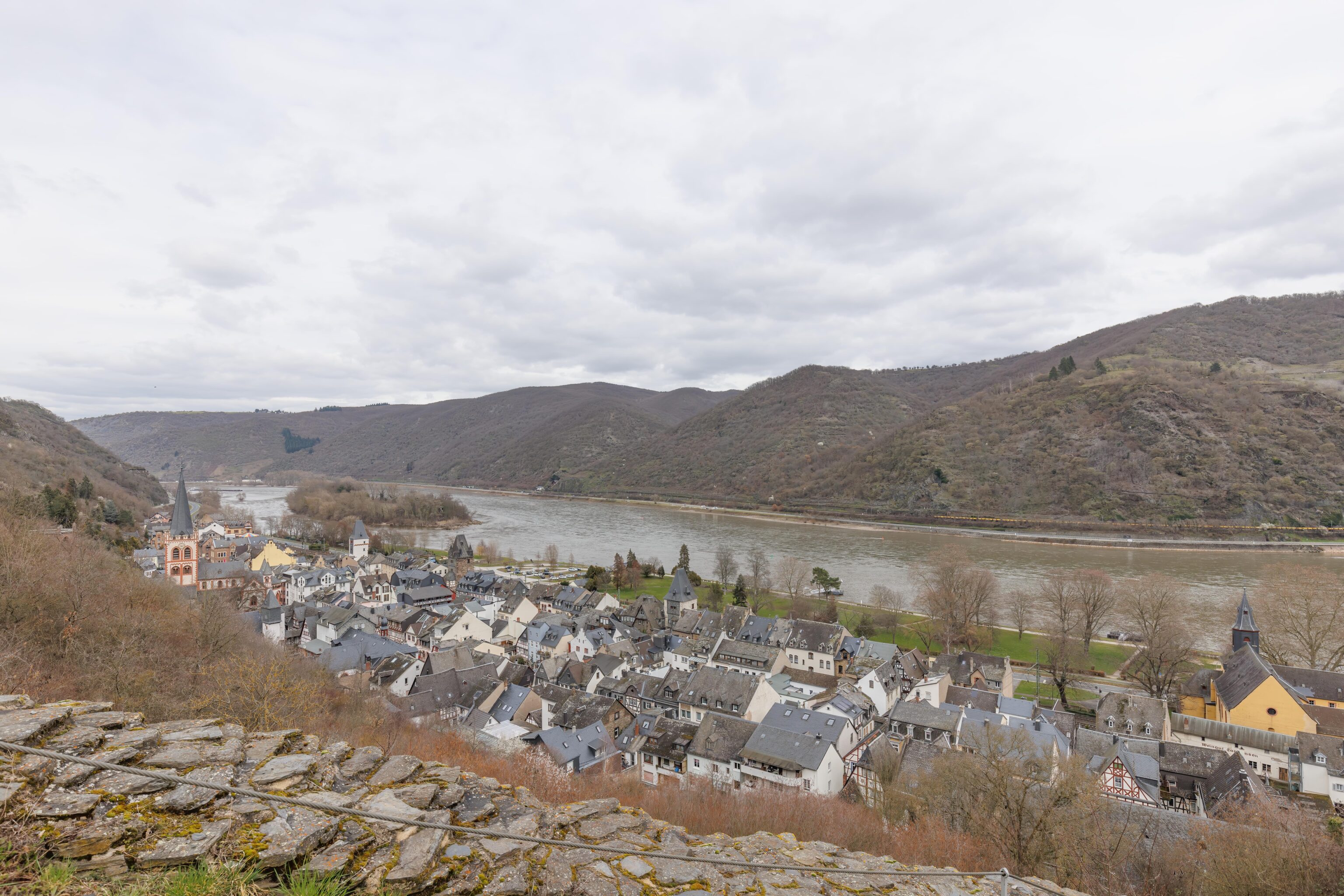
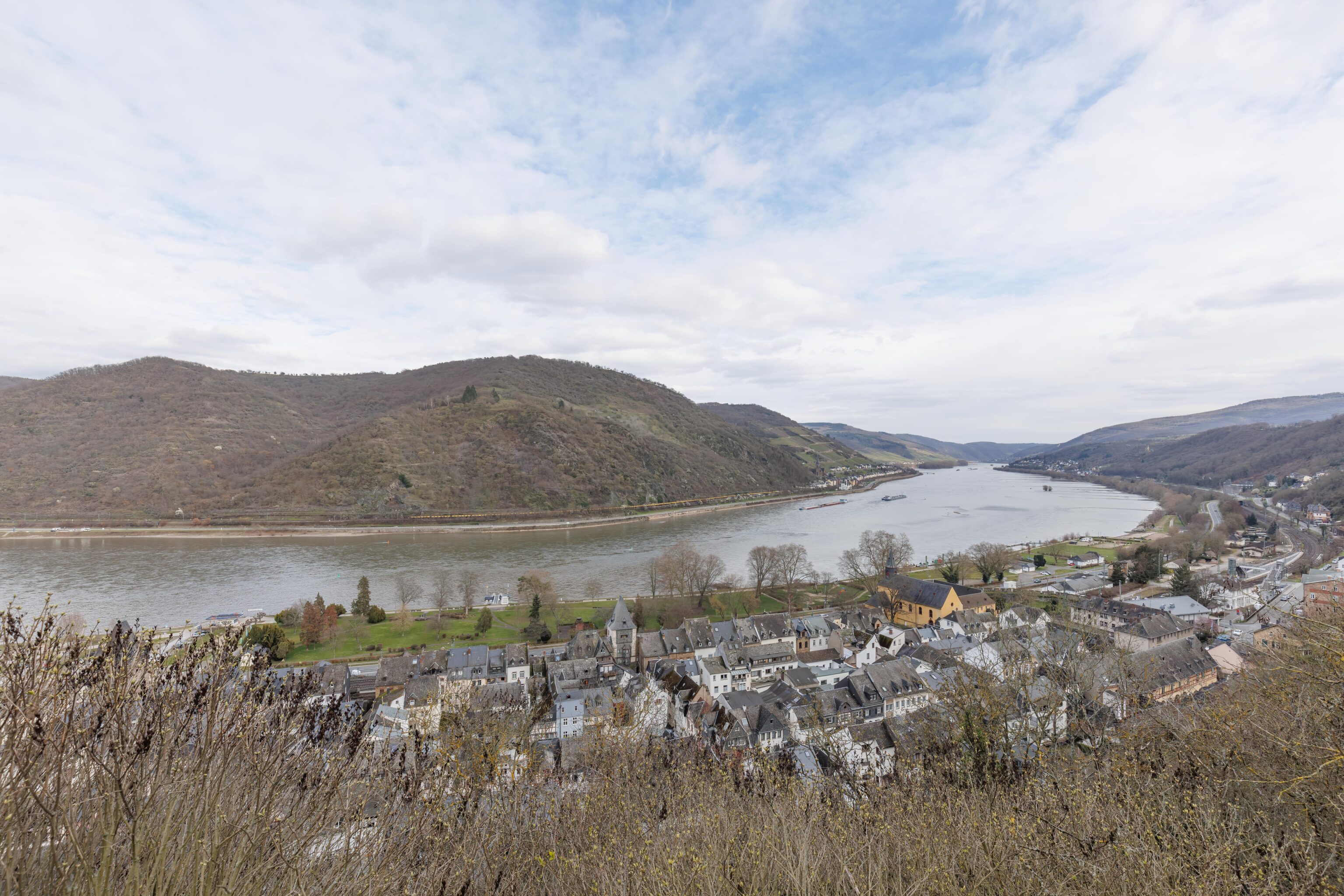
And a closer view of Bacharach below us.
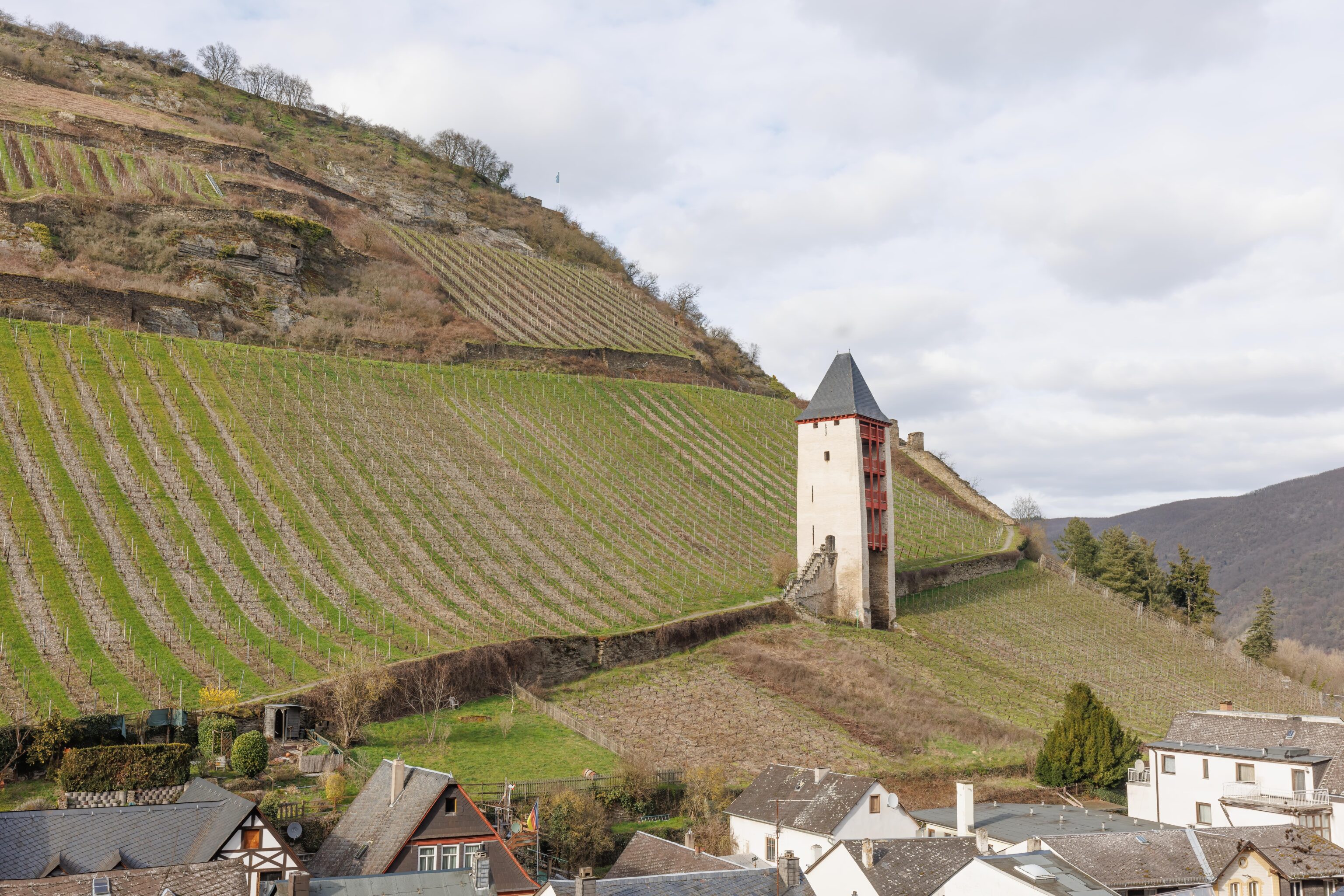
Getting closer to the castle! Down below, we could see the tower embedded into the hill below on the right. There is a wall leading from the tower up the hill.
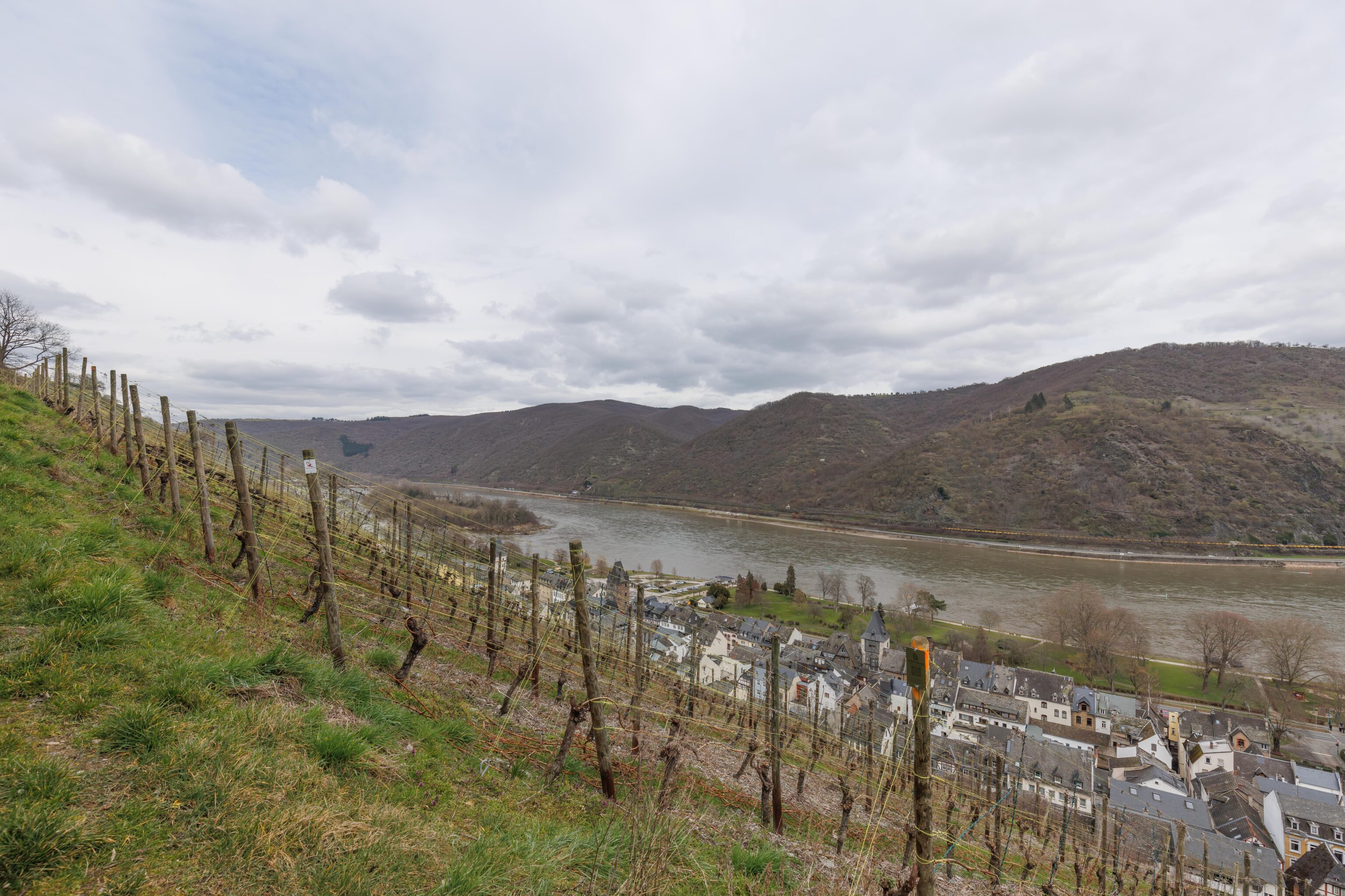
We passed by a vineyard as we continued walking towards the castle. This part of the trail was level compared to the extremely steep section that we came up from.
Finally, we reached the castle! It had a great view of the landscape below.
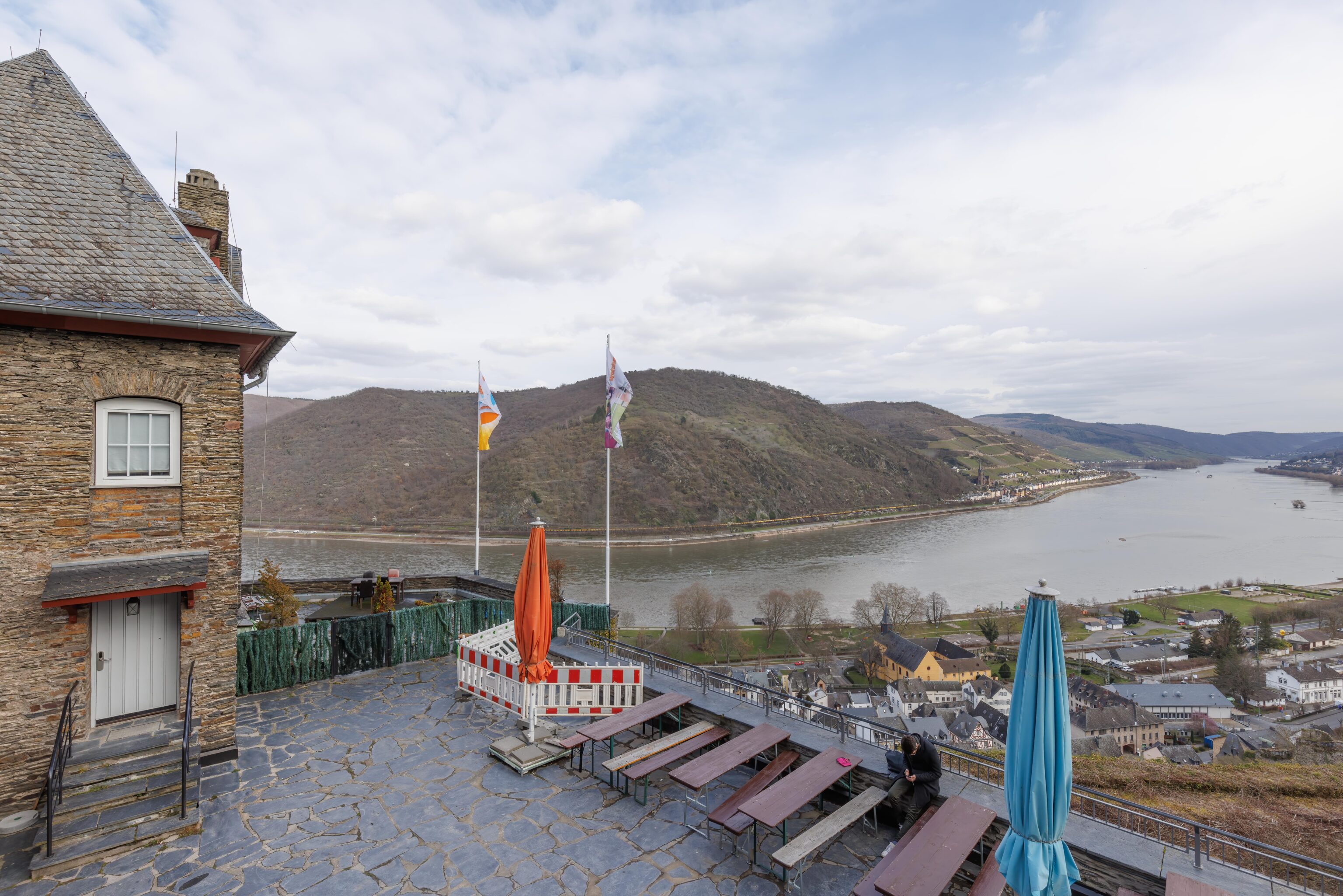
There is a nice outdoor terrace for seasons that aren’t winter!
The castle was very castle-like in appearance!
After drinking a hot chocolate and latte macchiato, we started our descent on the other side of the castle.
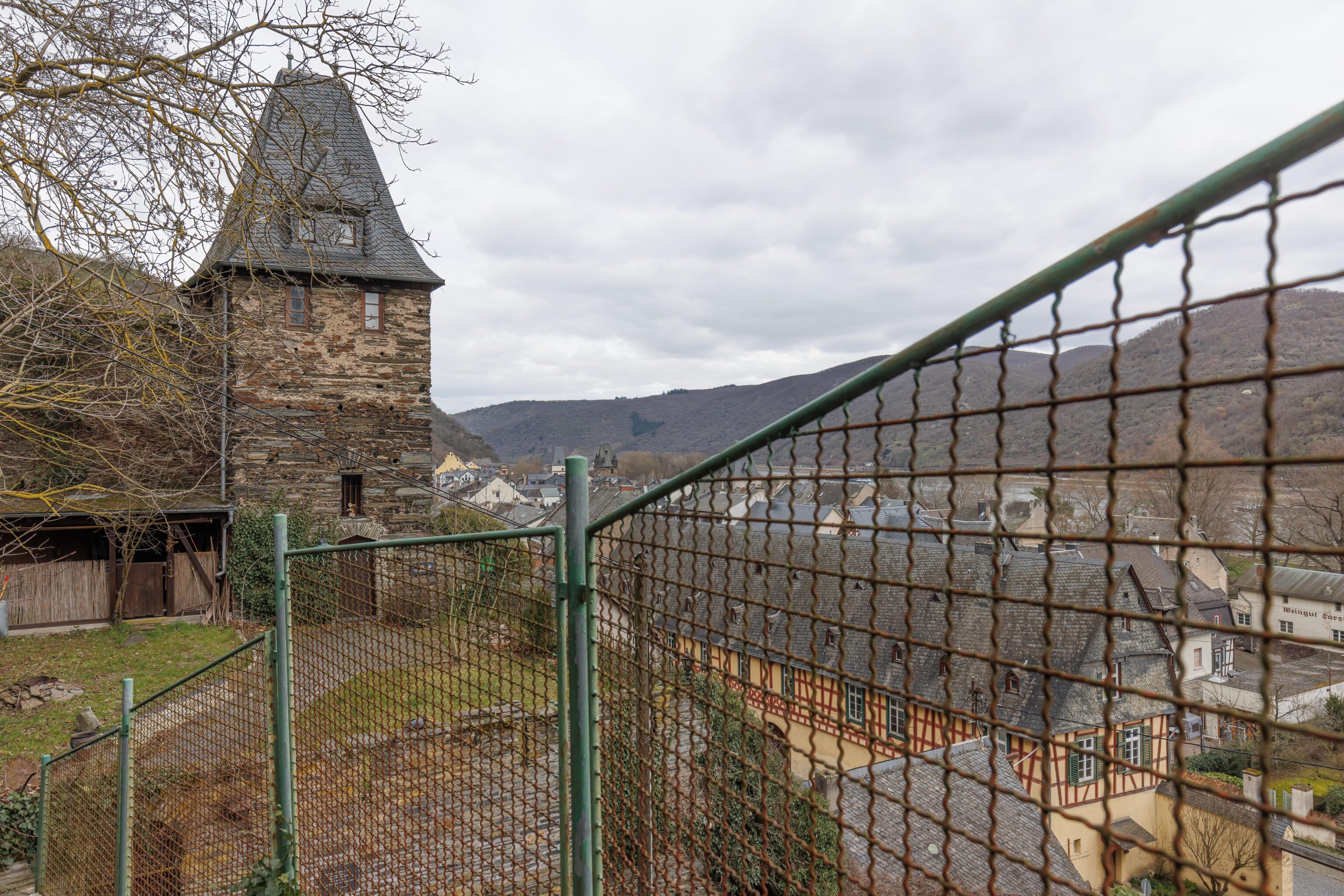
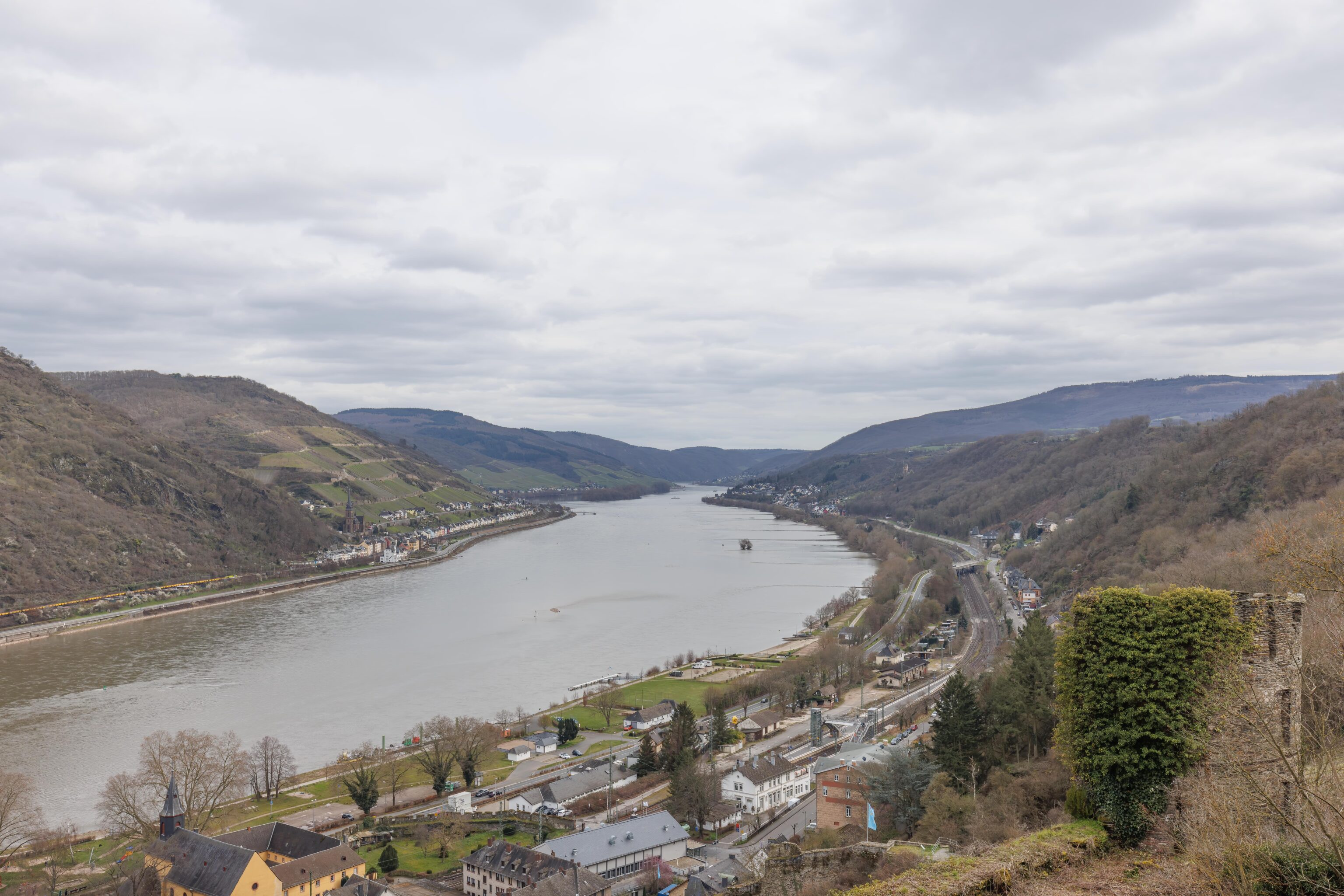
The route down isn’t particularly scenic in the winter as it is somewhat heavily wooded. It isn’t nearly as steep as the path we took on the way up but the hillside trail is quite narrow in places. We did get this pretty view of the remnants of a wall and a tower on the hill to the north of the castle on the other side of a valley.
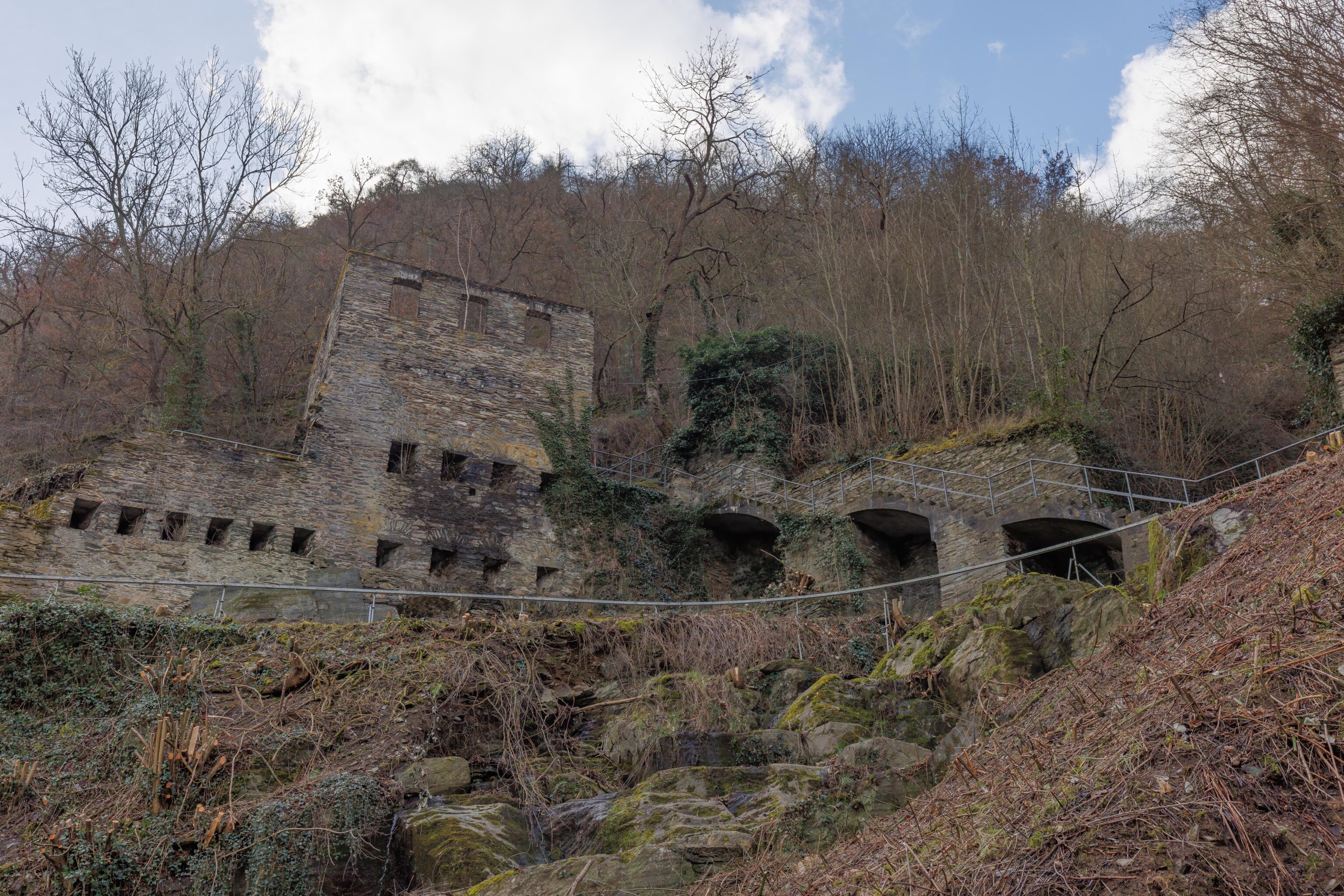
Soon, we reached the valley below. It was quite pretty with historic structures, towers, and a tiny little river running by the path. The water barely visible in this photo, it is just on the other side of the metal railing that runs by the path.
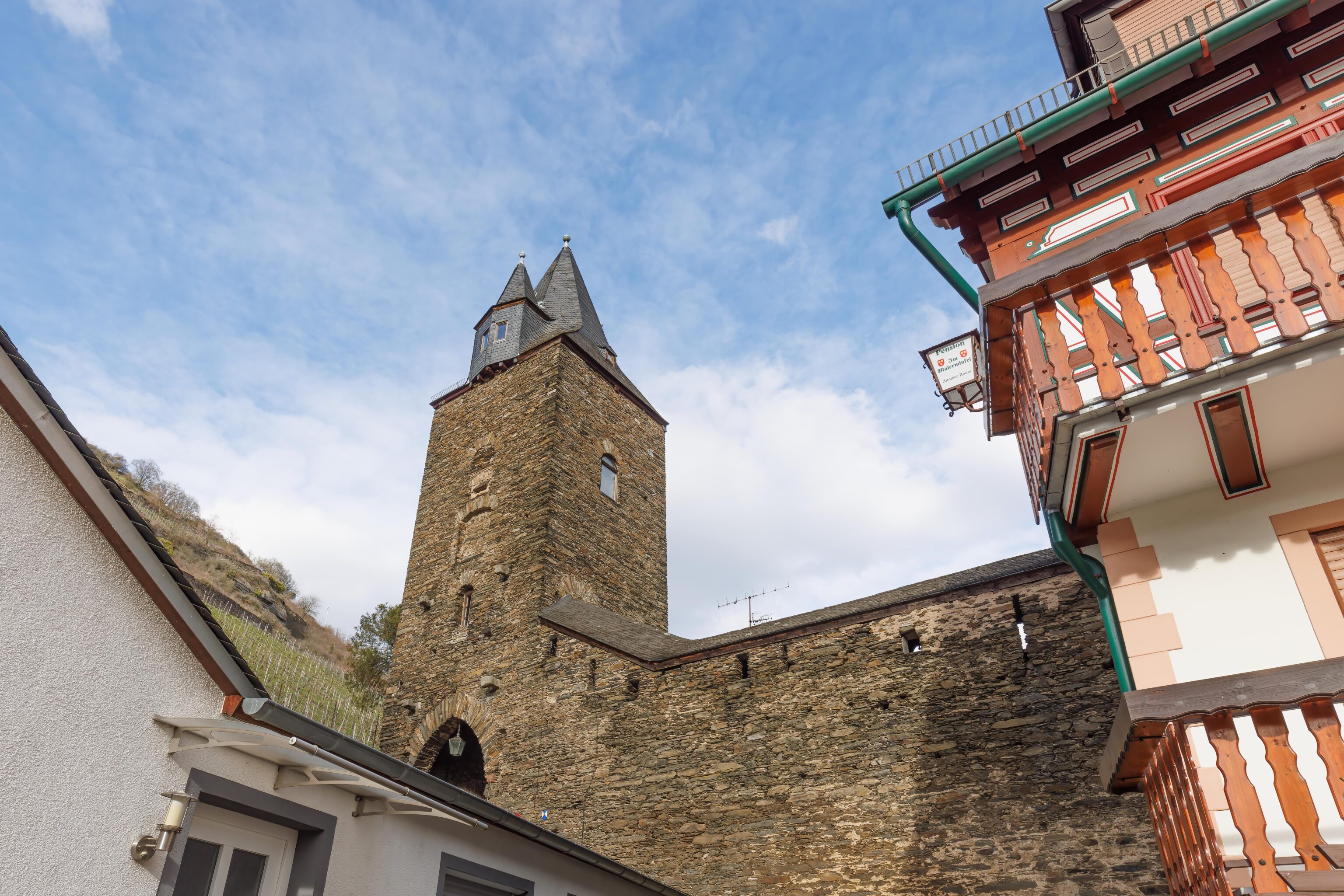
We walked under the wall next to the tower, coming out on the opposite side. There is nothing of interest there, just a parking lot. So we turned around and continued walking back into town.
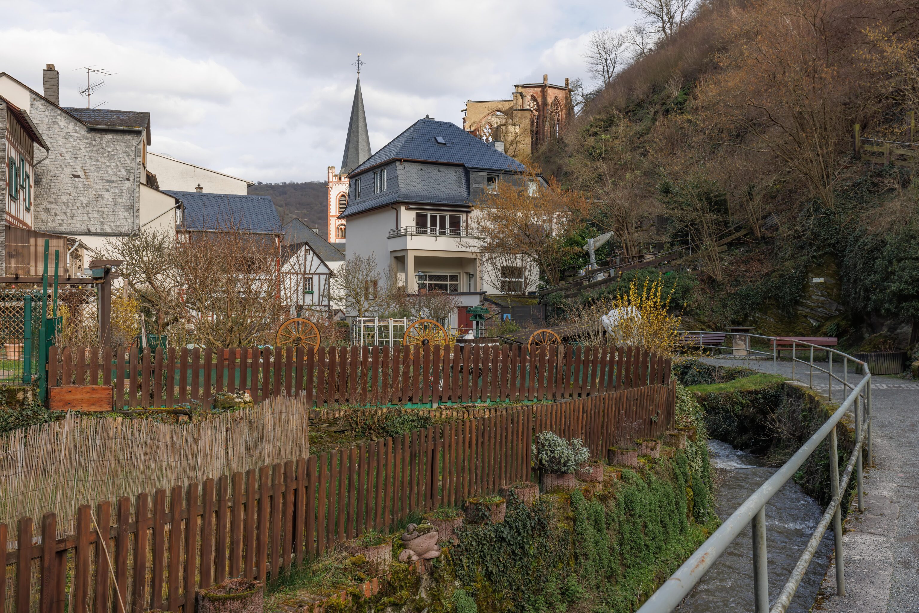
Looking towards town, we could see a church steeple as well as the ruins of another church building a little bit up the hill.
We passed below the tower on the opposite hill that we saw while hiking down. It is easily accessed via a path, though we decided not to go there.
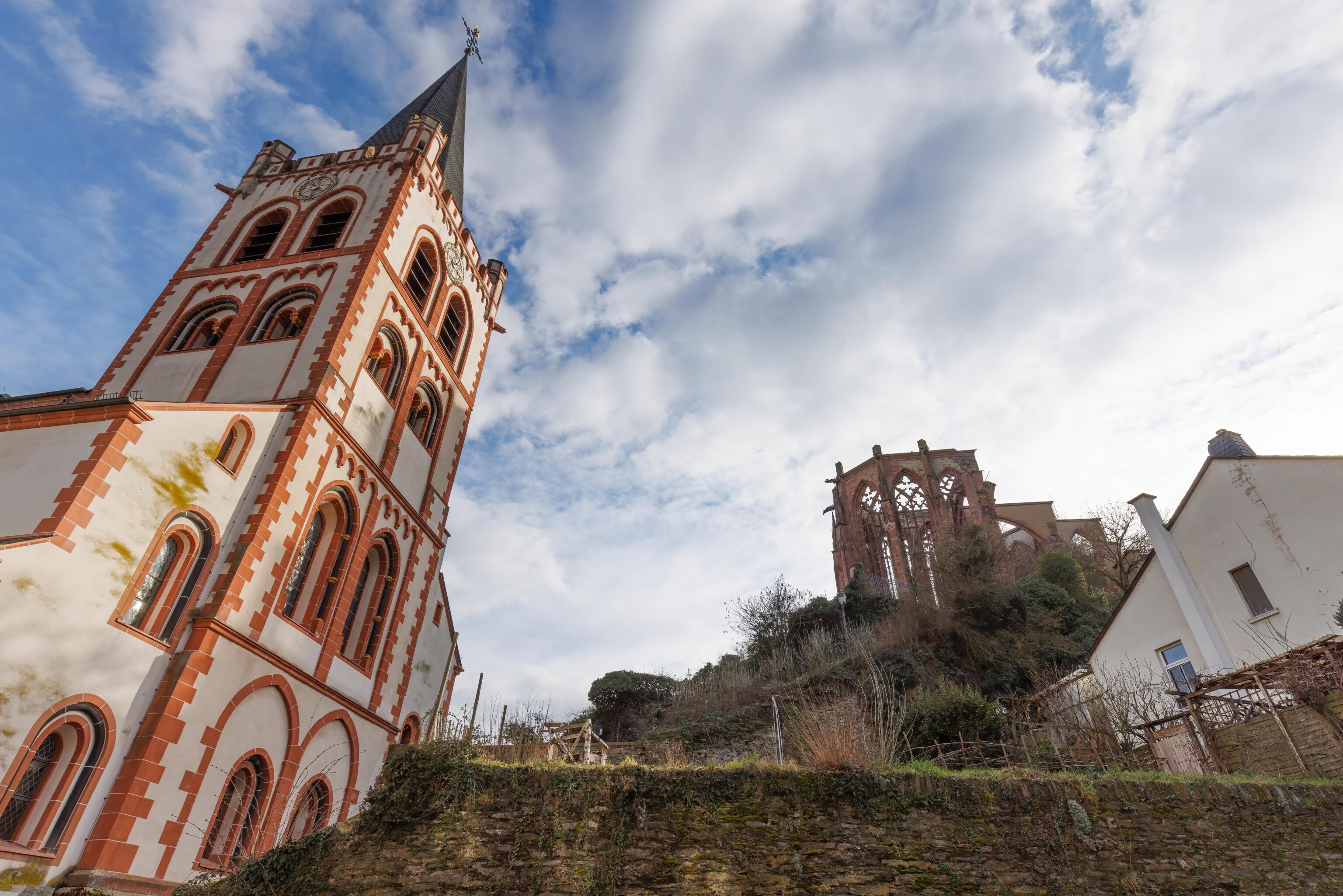
We could have passed by the ruined church on our way down from the castle but didn’t due to picking a different route.
Finally, back to town!
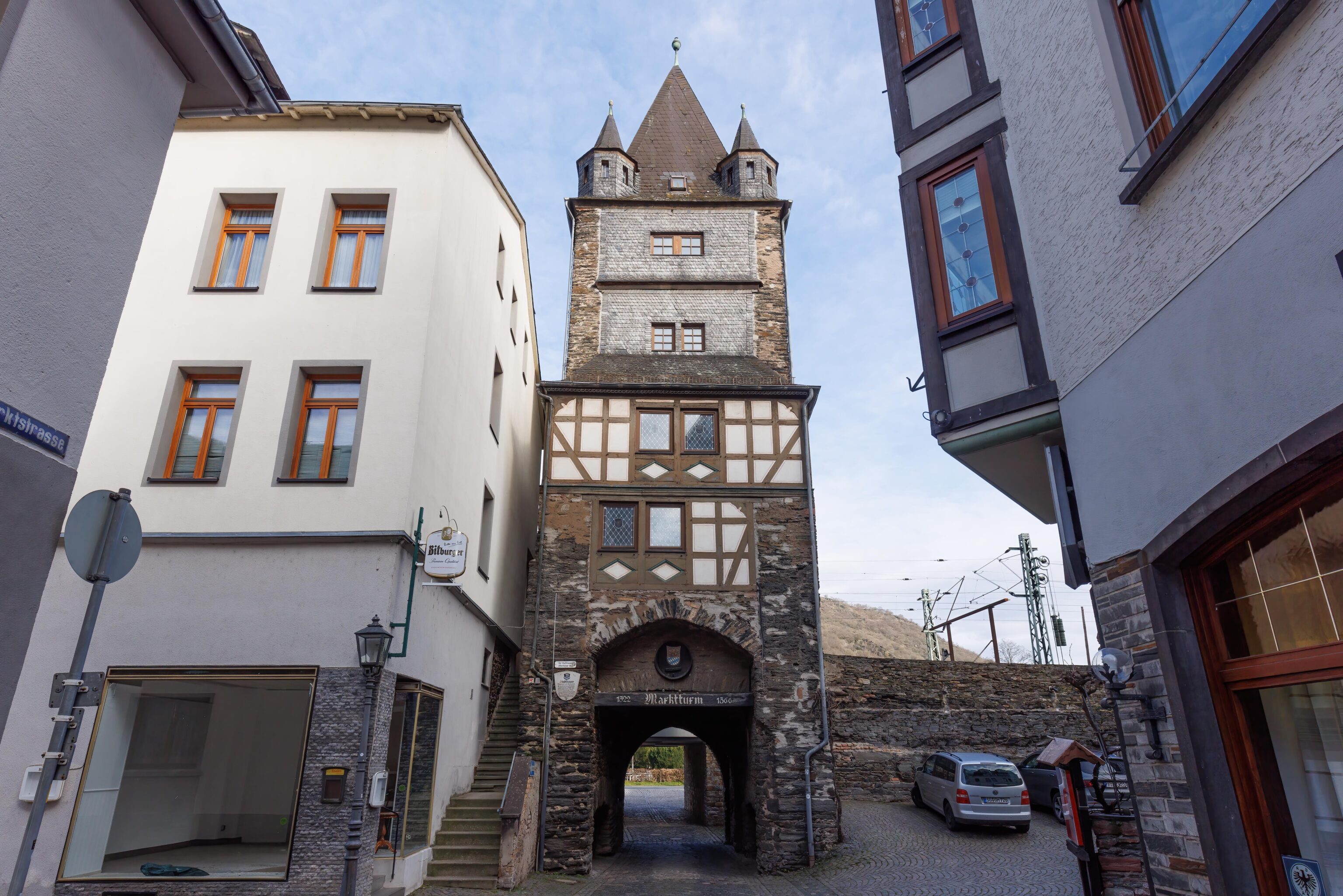
We decided to head to the Rhine. We passed under this tower. There seems to be a few like this between the town and the river.
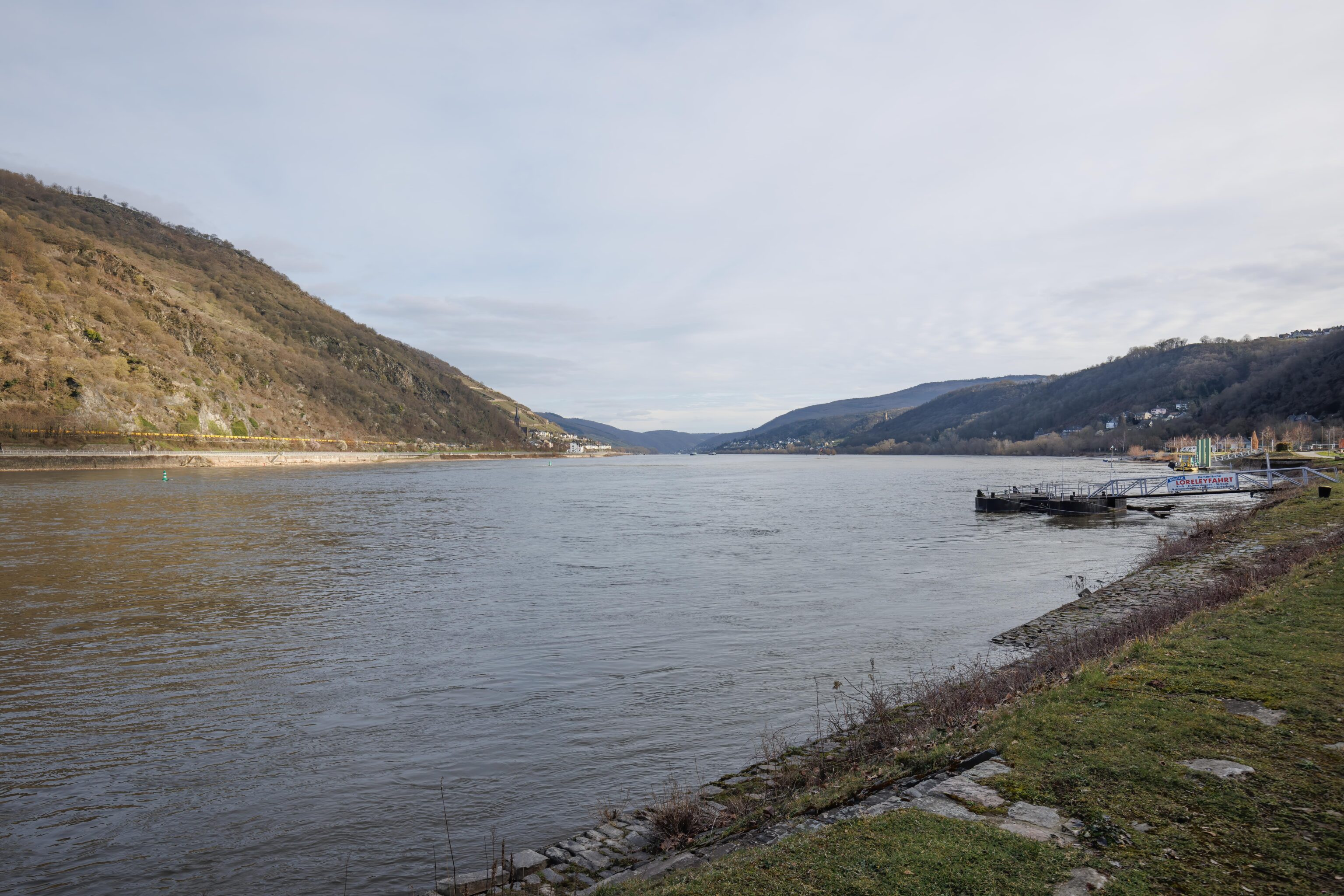
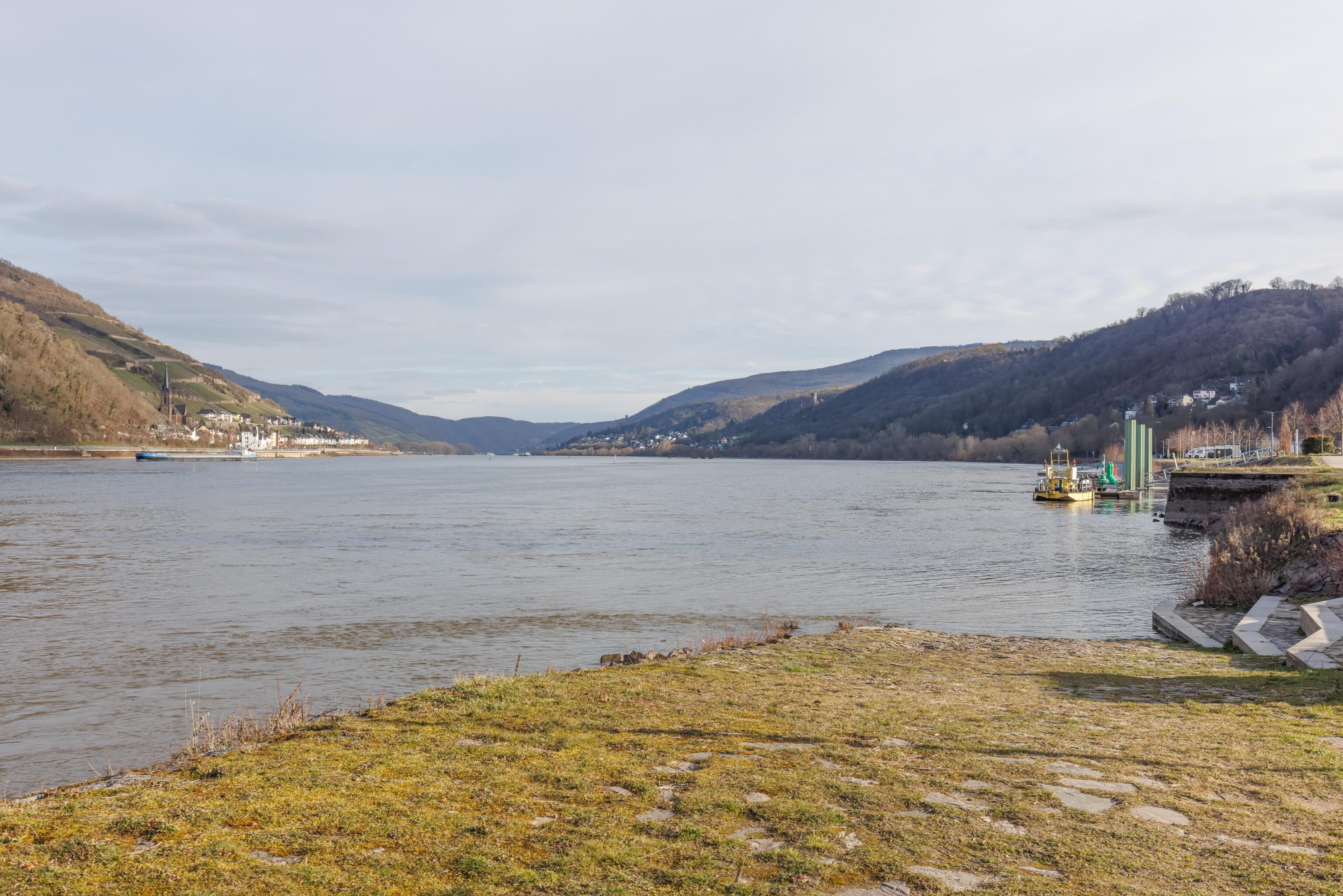
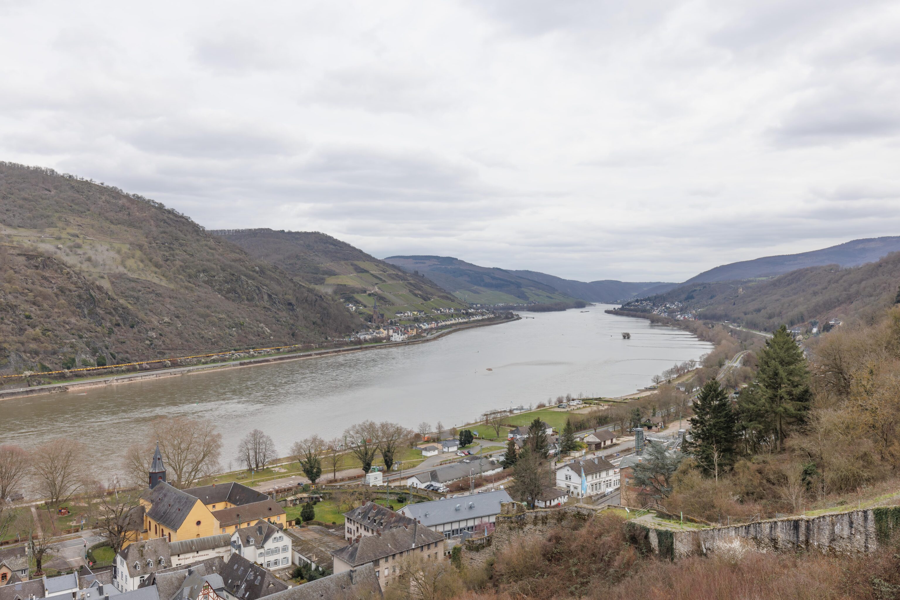
Finally, the Rhine! We walked a bit through the park that runs along the river.
There is a nice view of the castle from the river.
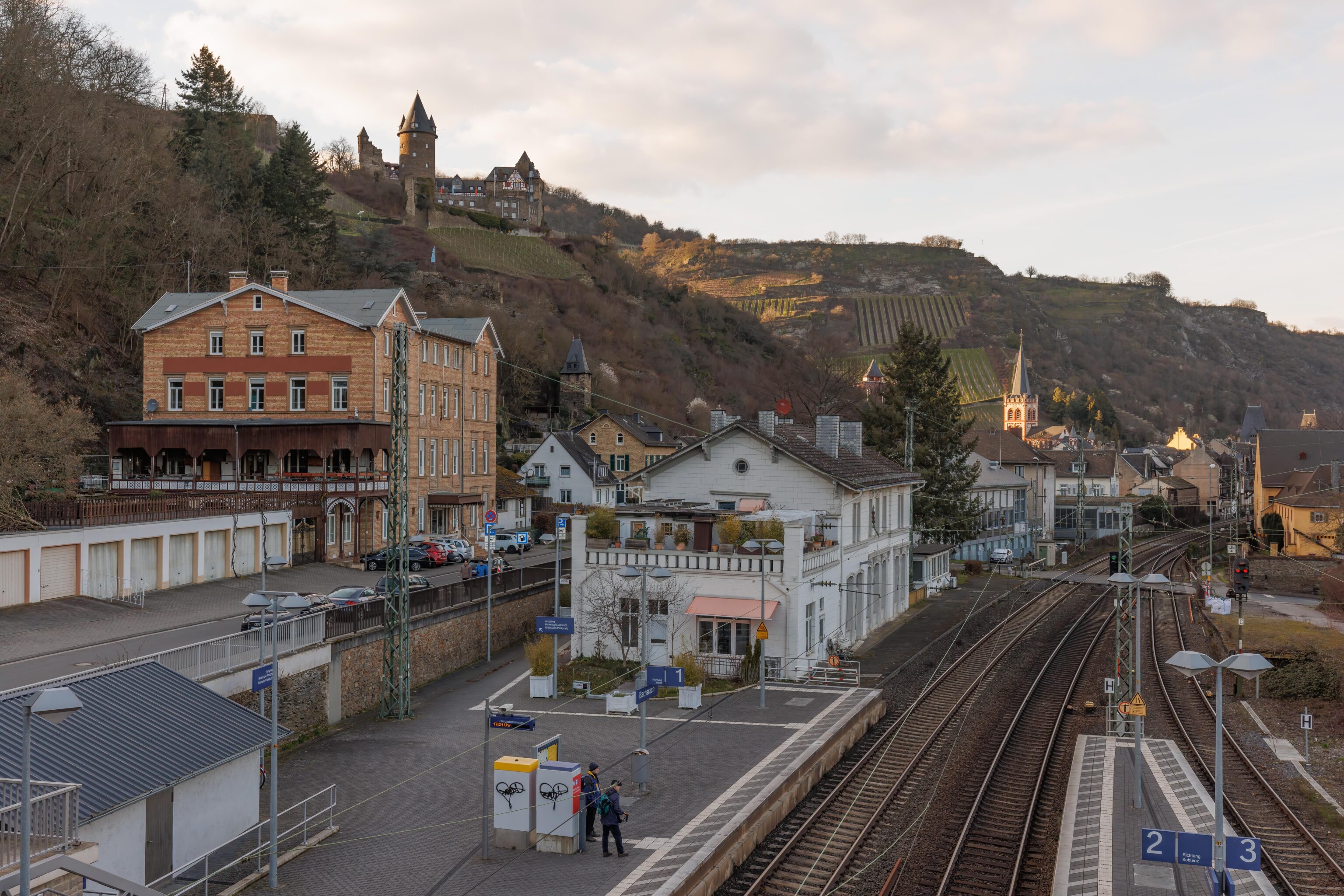
Finally, we returned to the train station to head back to Frankfurt. There is a pedestrian bridge that provides access to the platform for tracks 2 and 3. The bridge is quite high up as it needs to clear the catenary wires. As a result, it makes an excellent observation platform!
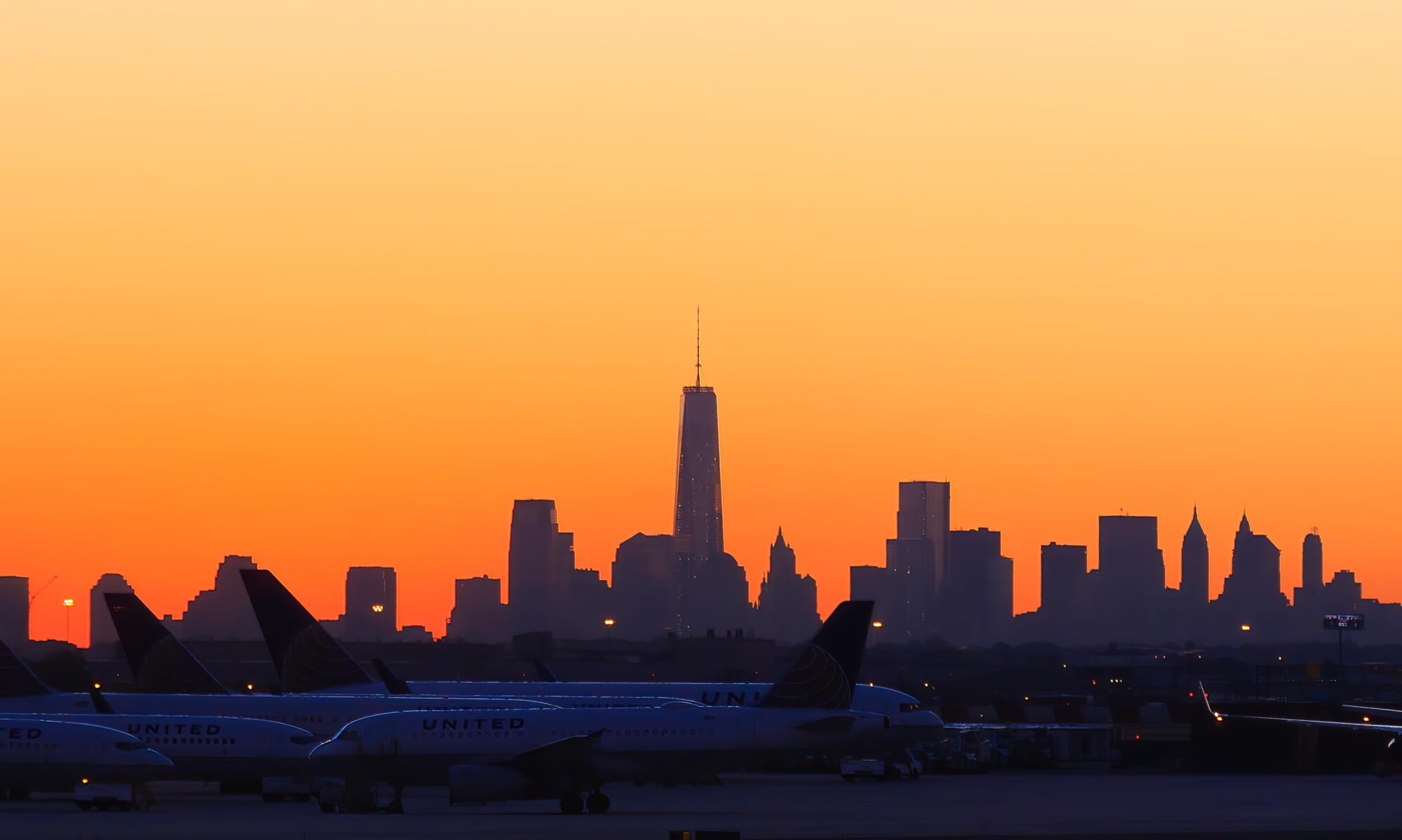
Back to Frankfurt
We did have a bit of an adventure on our way back to Frankfurt. Our train was a bit late but more or less on time until we reached the airport station. We got stuck there as all train traffic beyond was stopped due to some incident. There wasn’t any information available on what was going on other than there being a trespasser incident.
Our train was cancelled with what seemed like instructions to take the S-Bahn. There was actually an S-Bahn train on the tracks next to ours and we saw their train was cancelled too. We headed over to the S-Bahn tracks and waited to see if something else would show up. Another train did and everyone piled on. Eventually, this train did start moving. We ended up being an hour or so late.
Later on, we found out after finding the state’s Federal Police Twitter that there was football (soccer) related rioting at the stadium station. We did see some police gathered on a platform when we passed through as well as emergency vehicles. And of course, drunk people were on our train after that stop.
Sankt Goar Photo Map
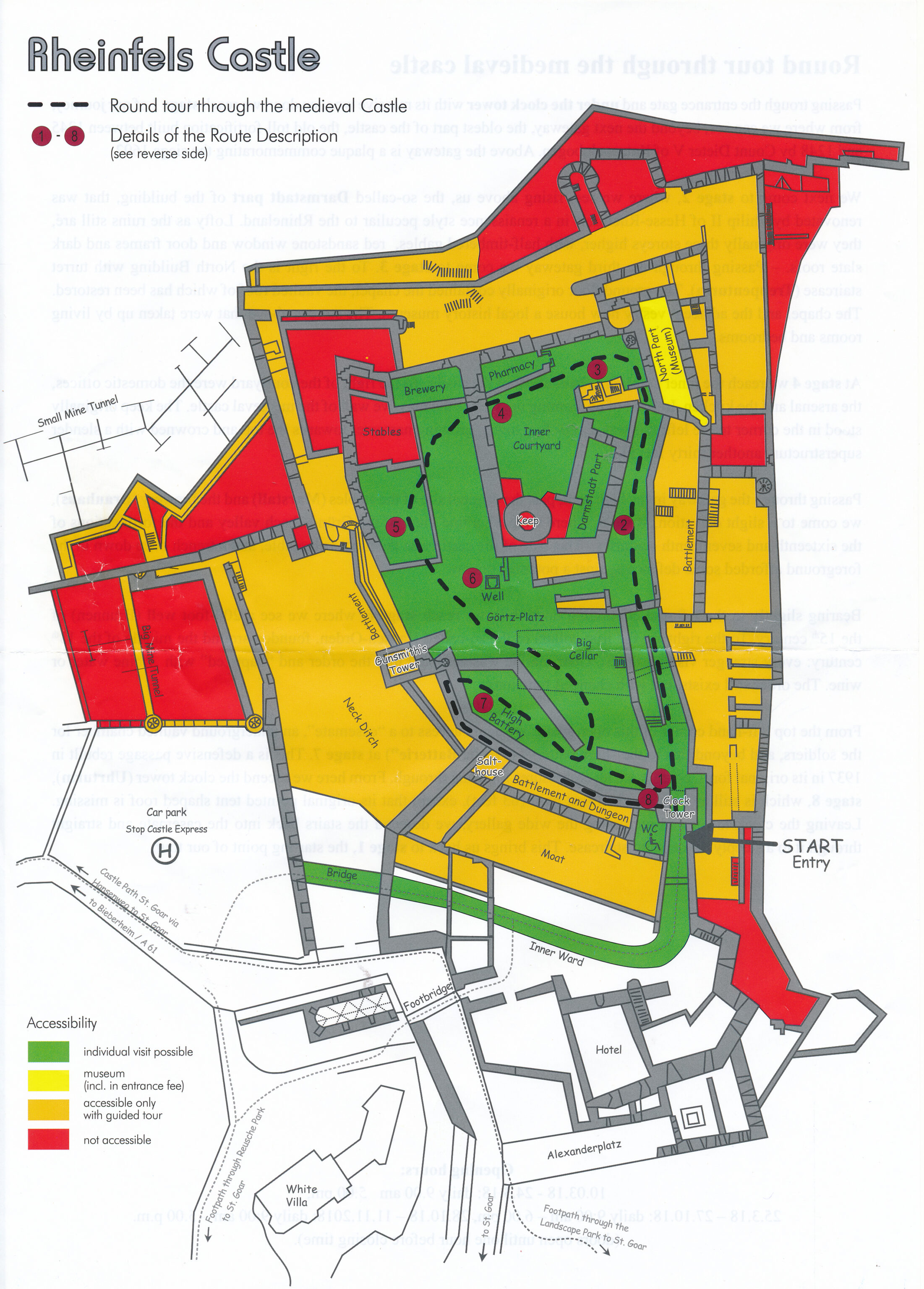
Burg Rheinfels English Self Guided Tour Route
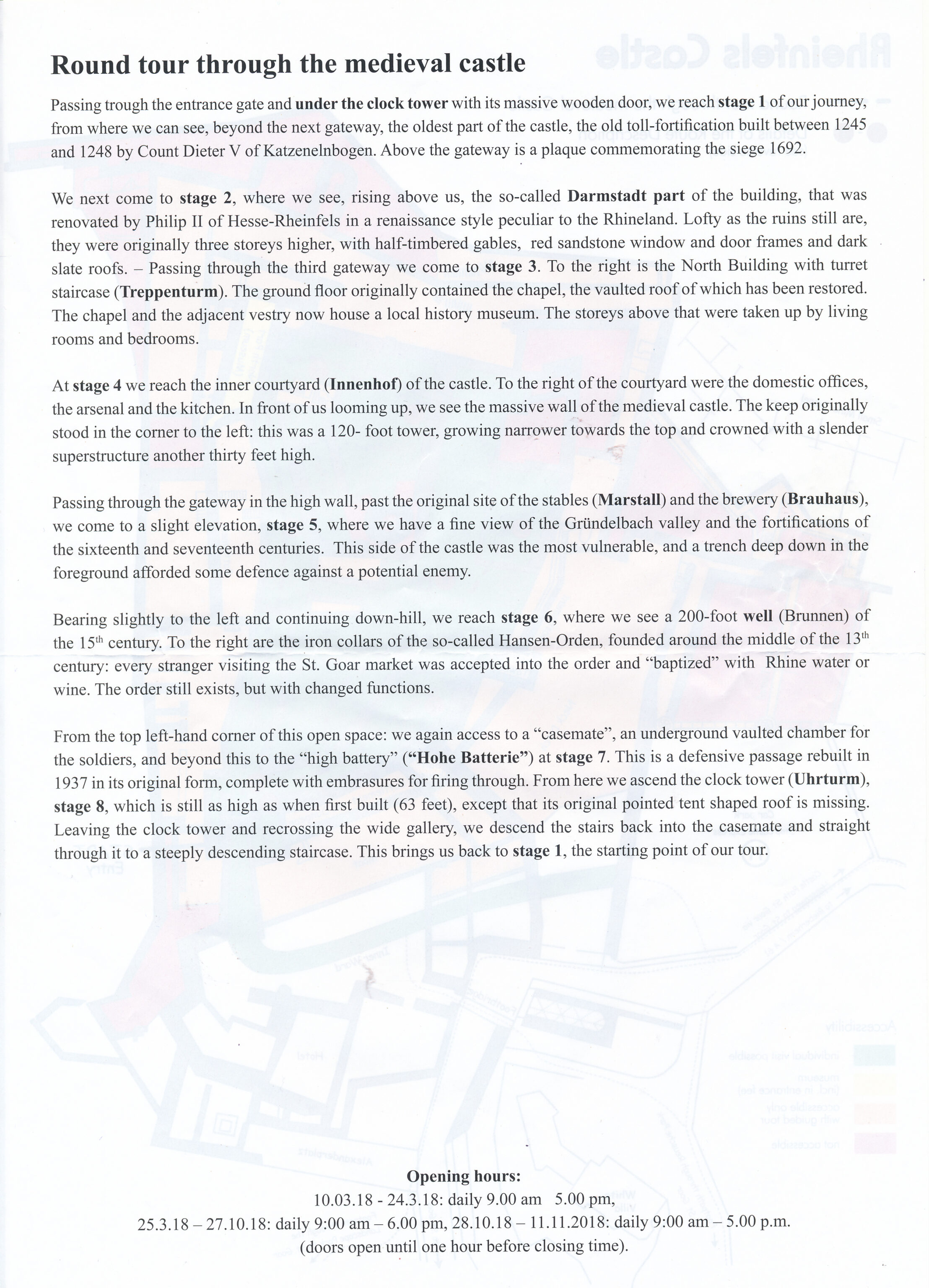
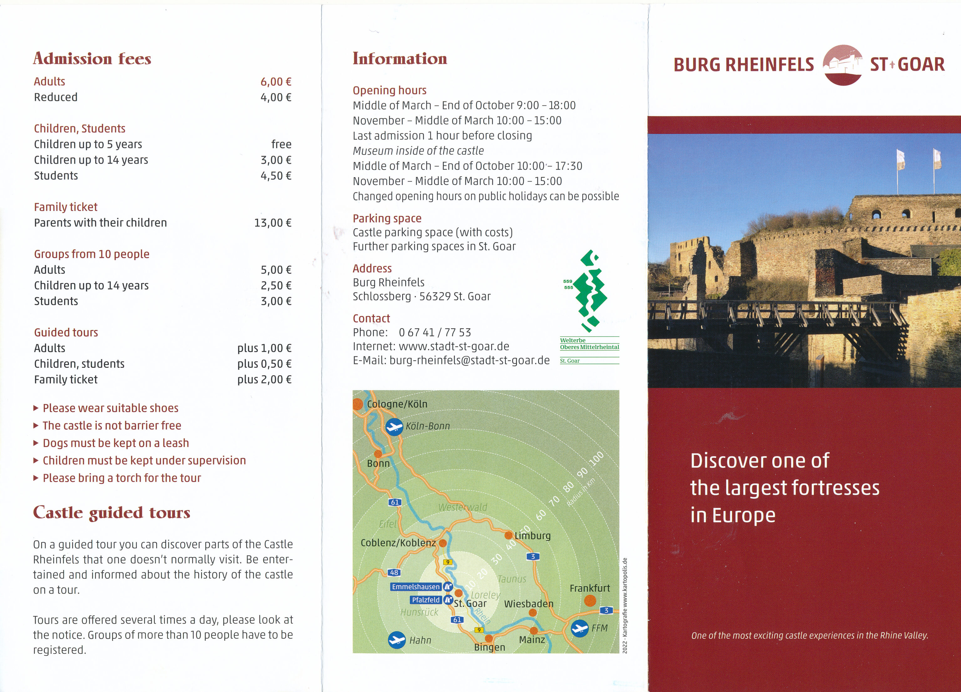
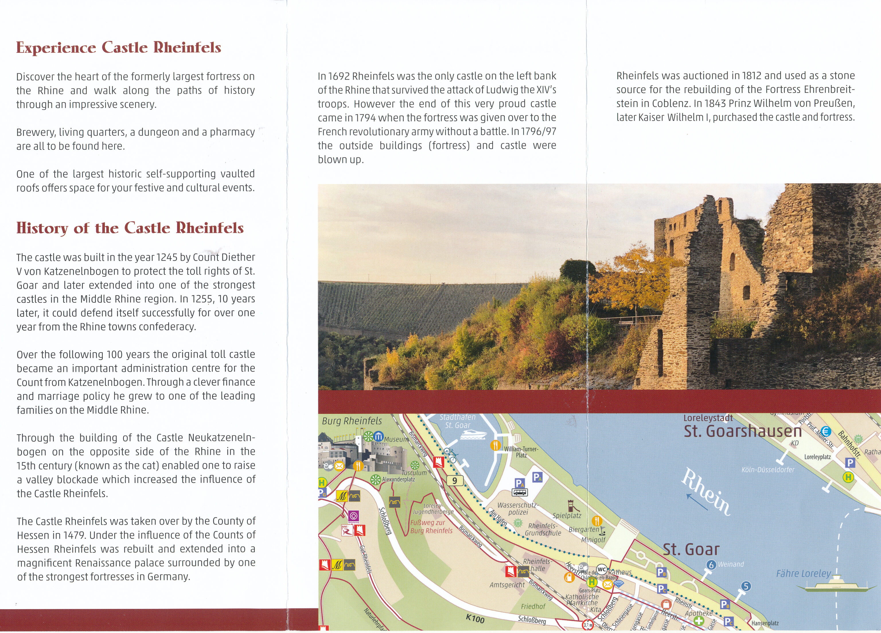
Burg Rheinfels English Information Pamphlet