
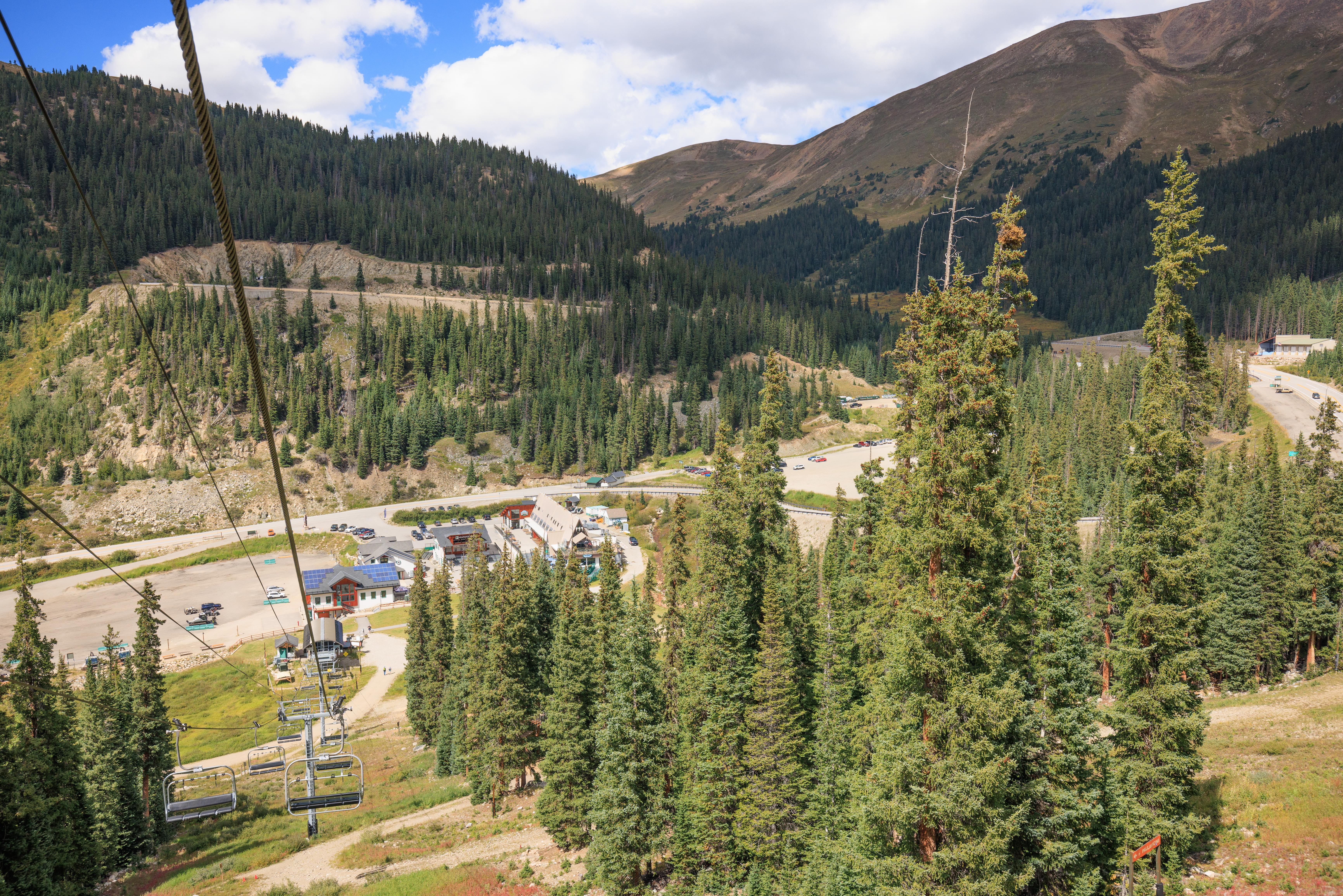
We headed to Arapahoe Basin in the morning and arrived just in time for the 9am opening time. We took the Black Mountain Express chairlift up to mid-mountain and started hiking upwards. The plan was to make it to the new Steilhang Hut but we ended up going all the way to the Snow Plume Refuge.
Black Mountain Express – Up
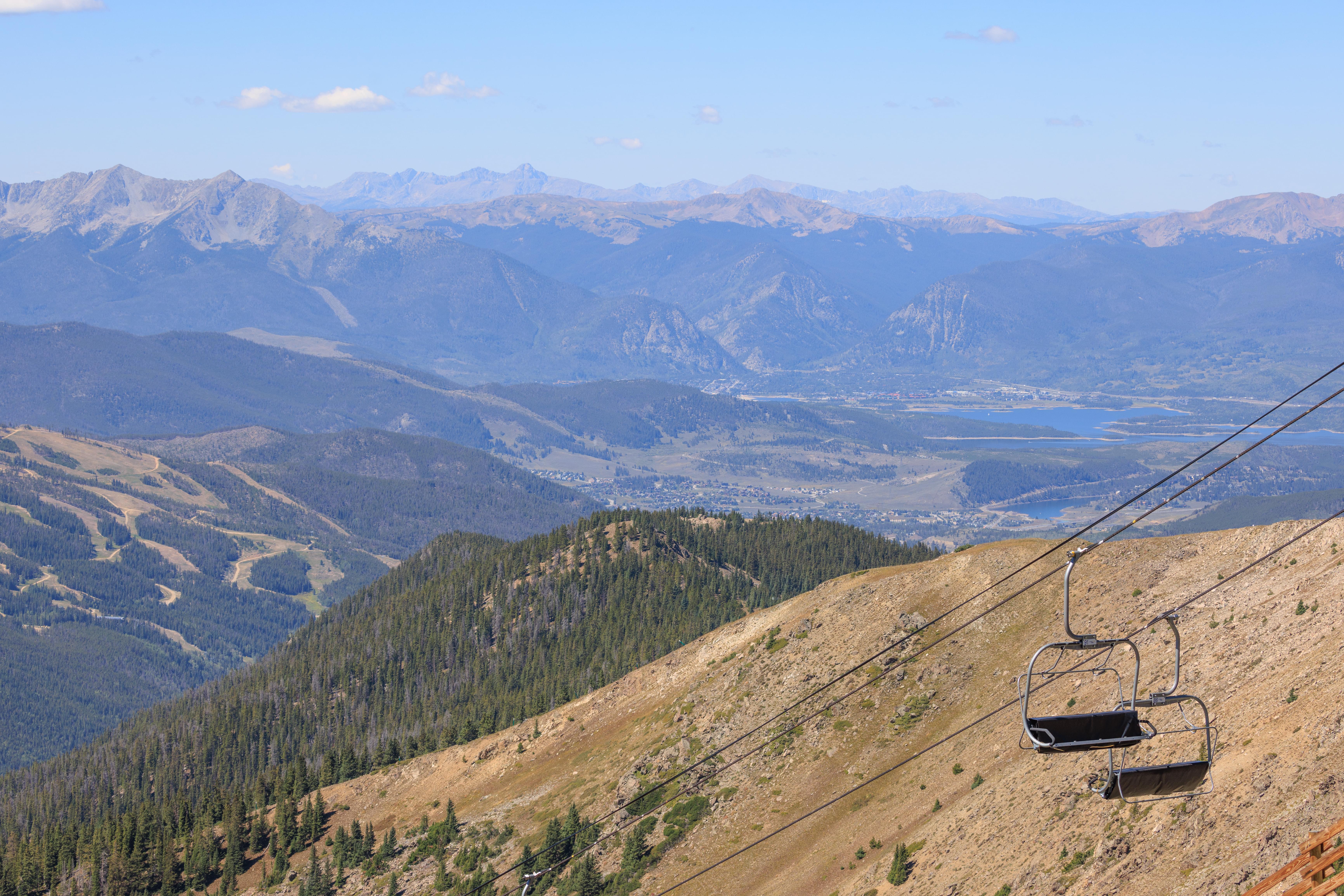
The Black Mountain Express immediately ascends steeply above the Exhibition ski trail. Well named as everyone on the lift is watching!
The terrain looks very different than it does during winter!
Exhibition is well beyond our skiing ability. Not sure if it looks harder during the winter or the summer!
After the initial steep ascent, things level off quite a bit as the lift approaches the area around the Black Mountain Lodge. Very different from the last time we were here during the winter but also very familiar.
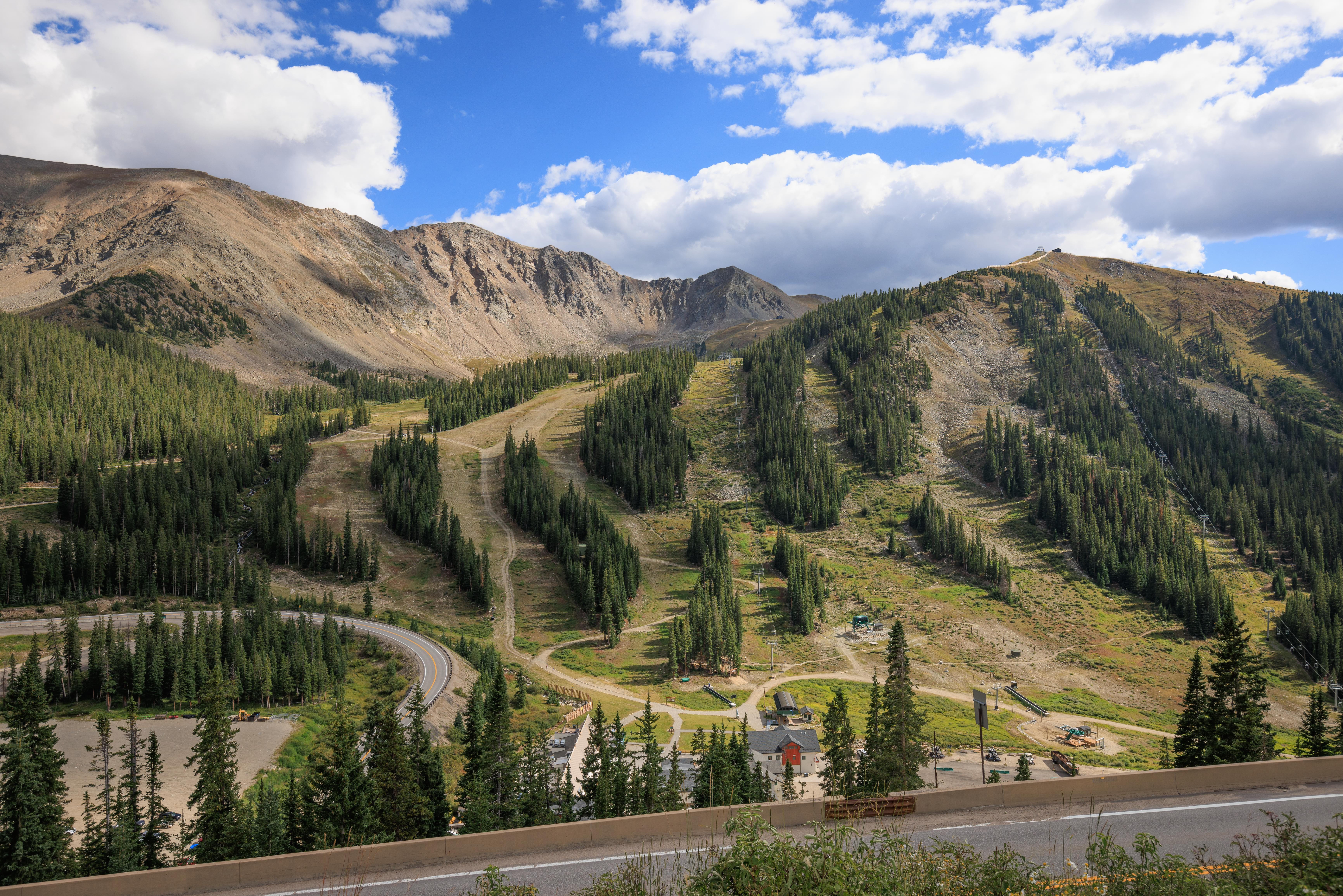
Upper Summer Road
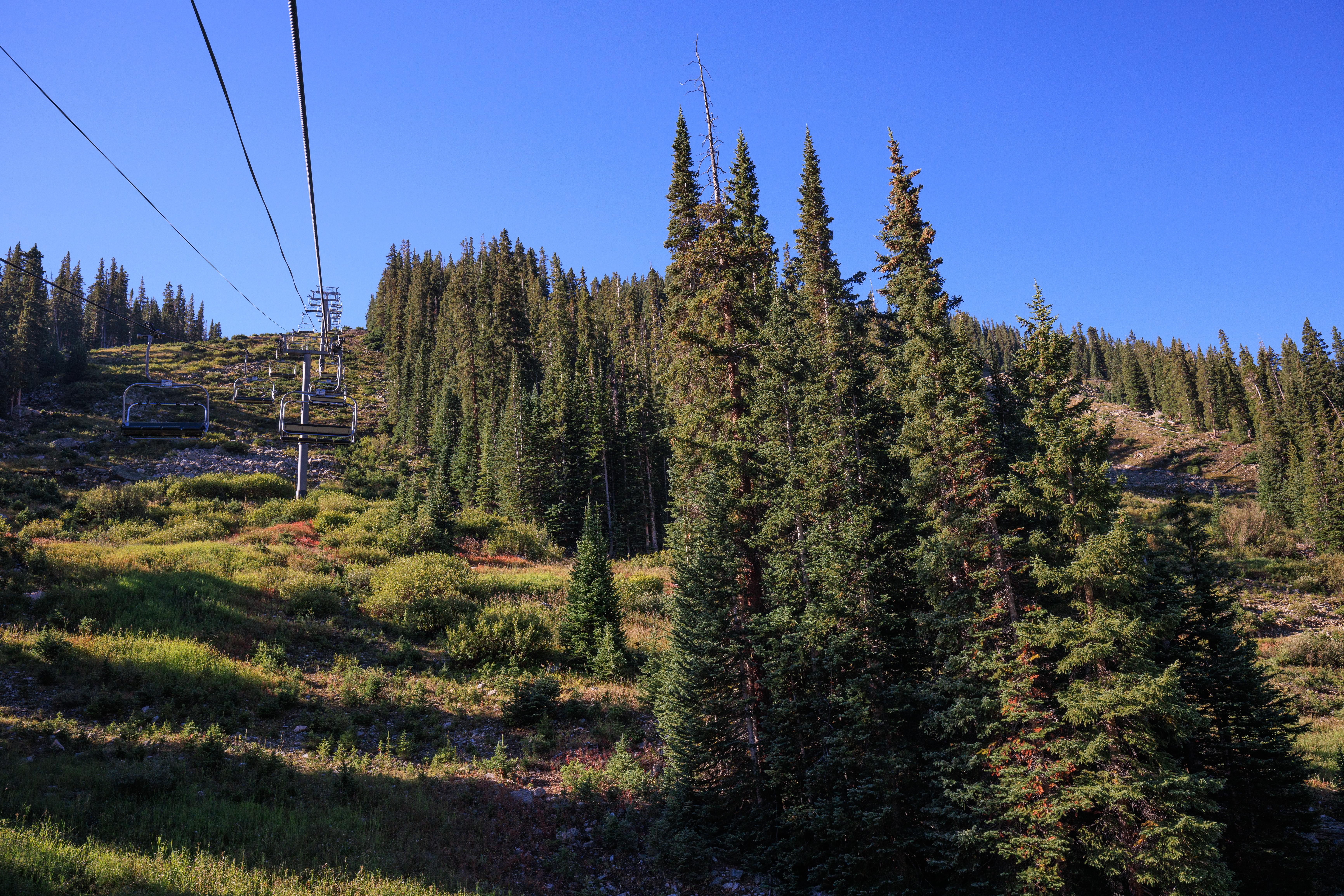
After getting off the lift, we immediately started hiking upwards on the ski area’s maintenance road. There is also a hiking trail that goes partially up the mountain but it is closed due to the construction project to replace the Lenawee lift.
We felt pretty good as we hiked upwards. The Black Mountain Lodge is at approximately 11,500 feet in elevation so it is pretty high when not acclimated. It felt easier than when we were at a similar elevation at Keystone two days ago despite the road ascending steeply.
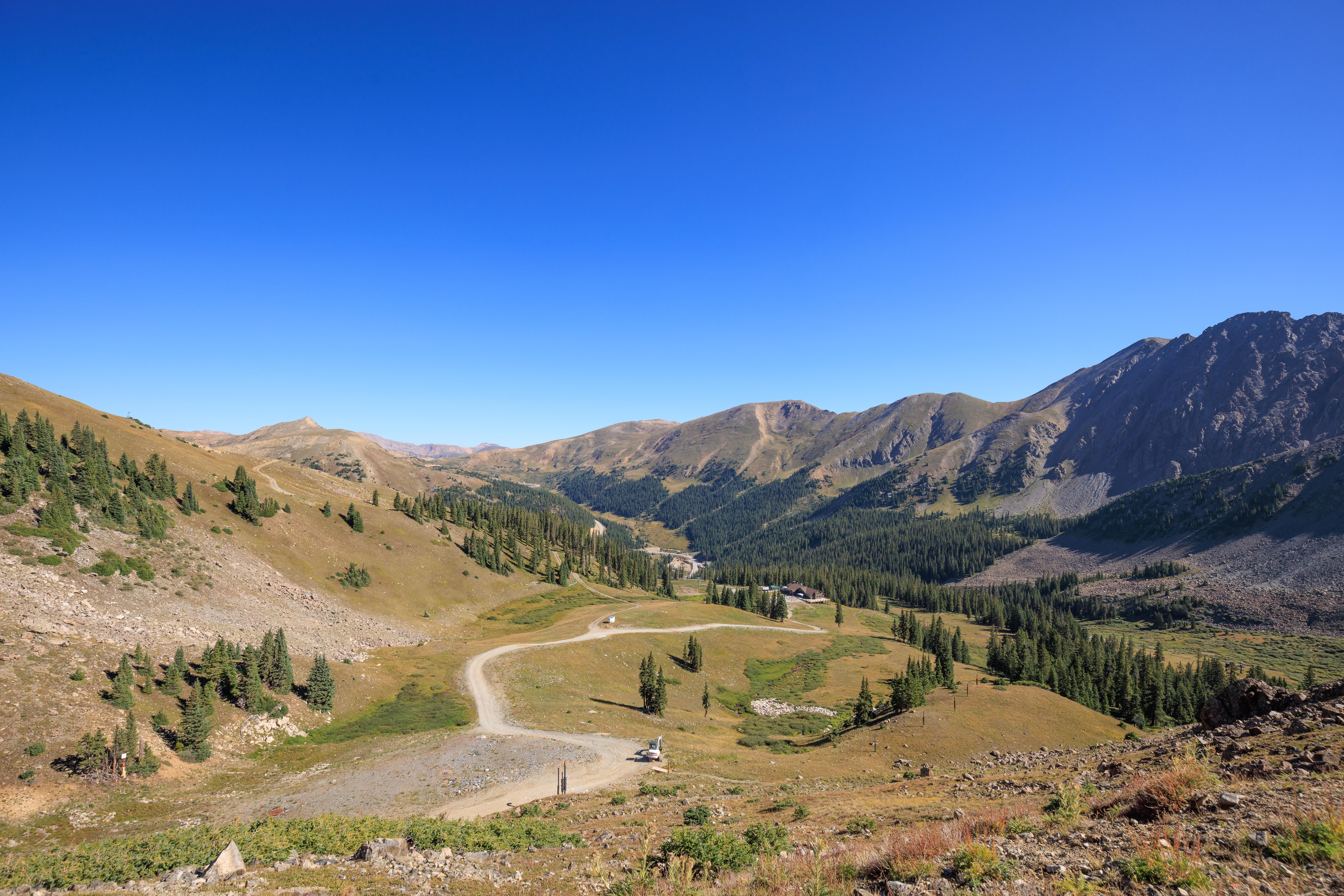
A last look at the Black Mountain Lodge before it temporarily went out of view due to the terrain.
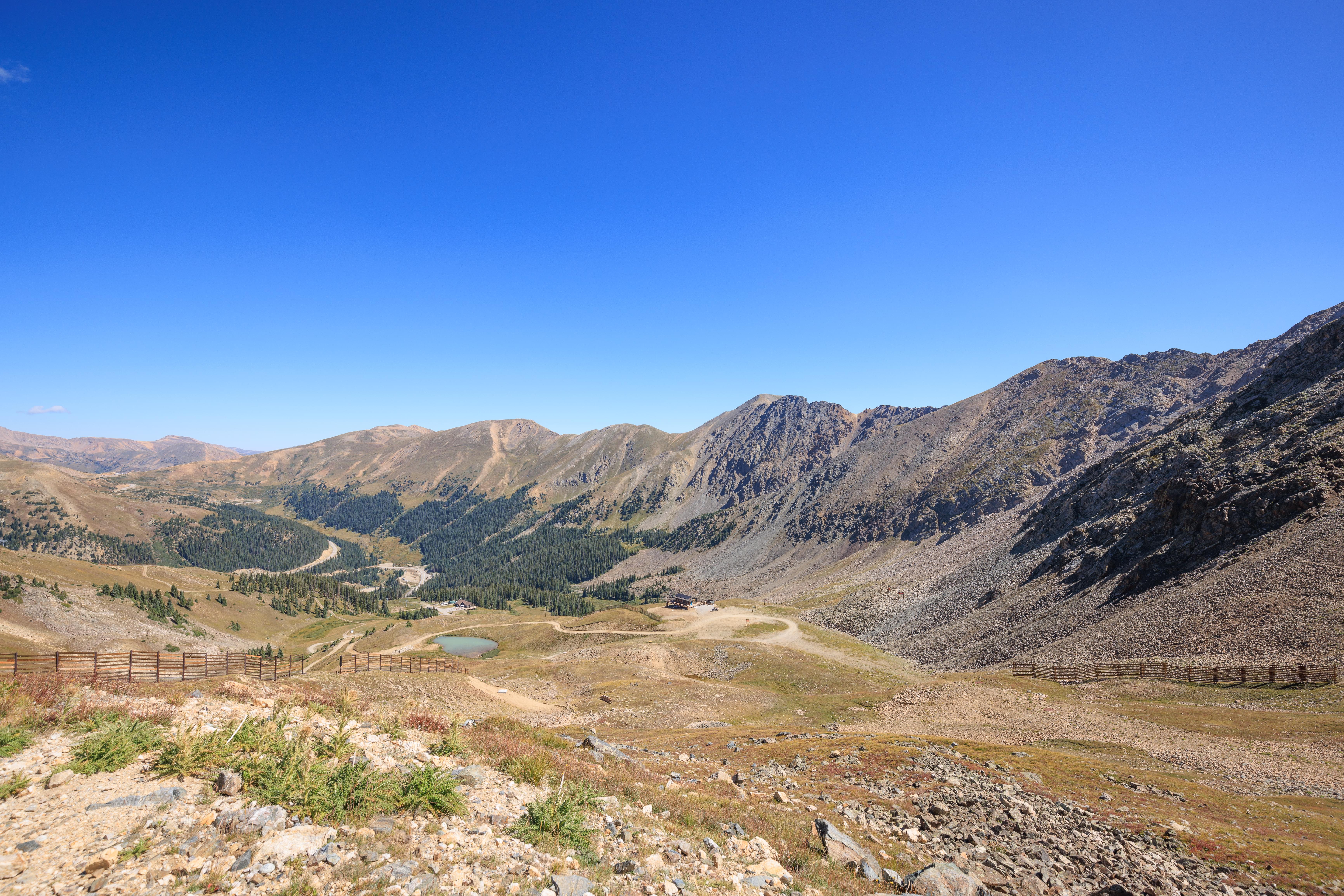
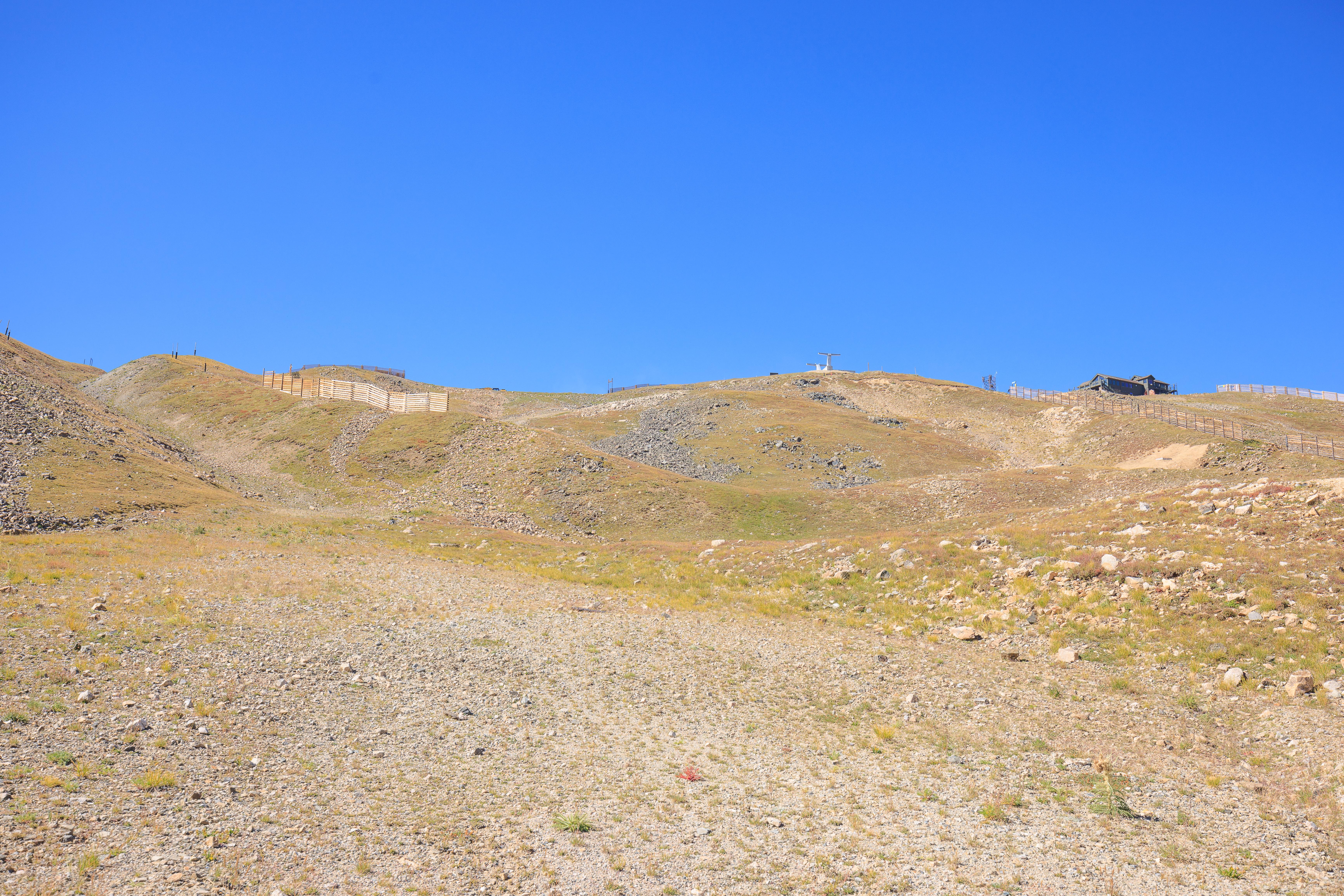
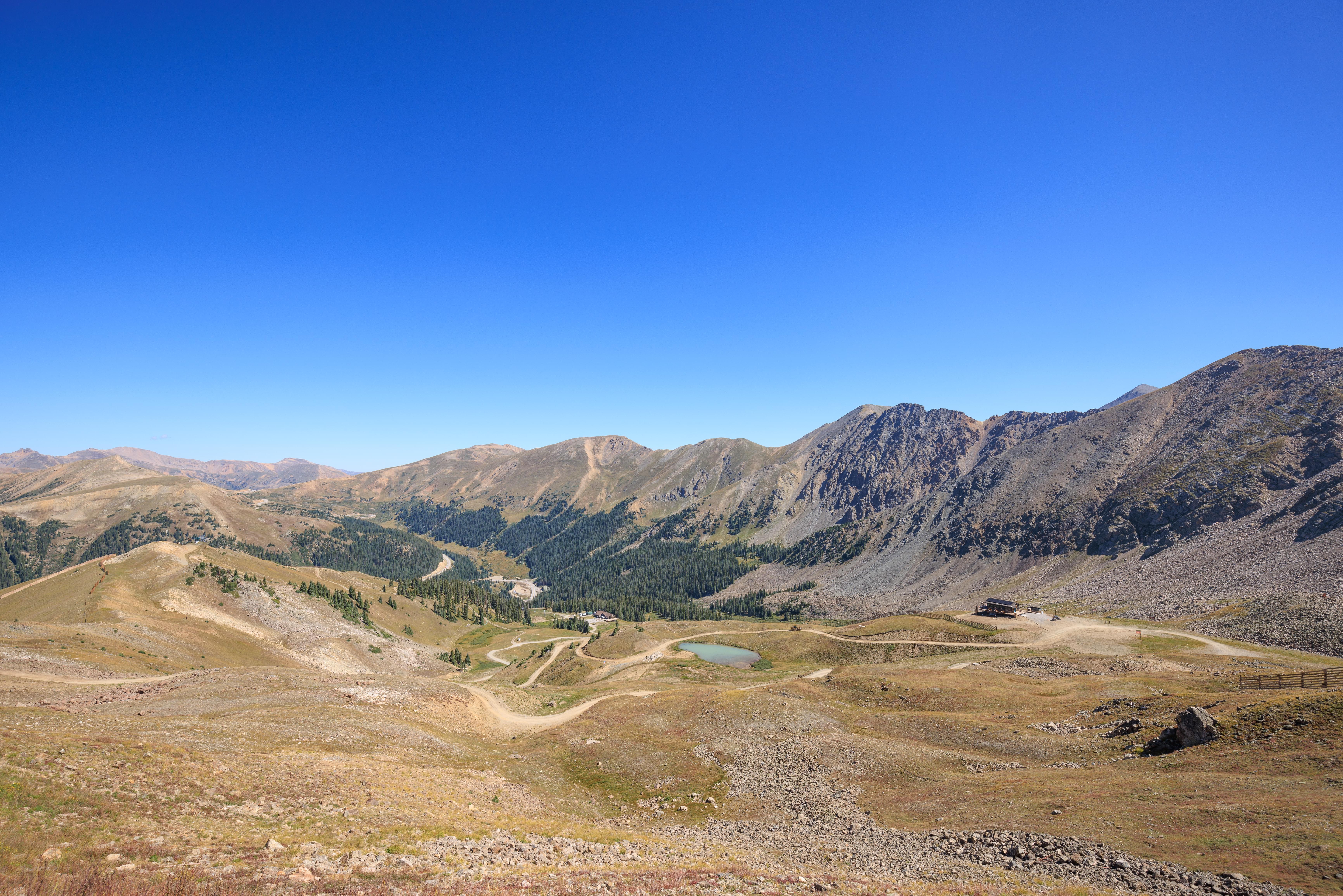
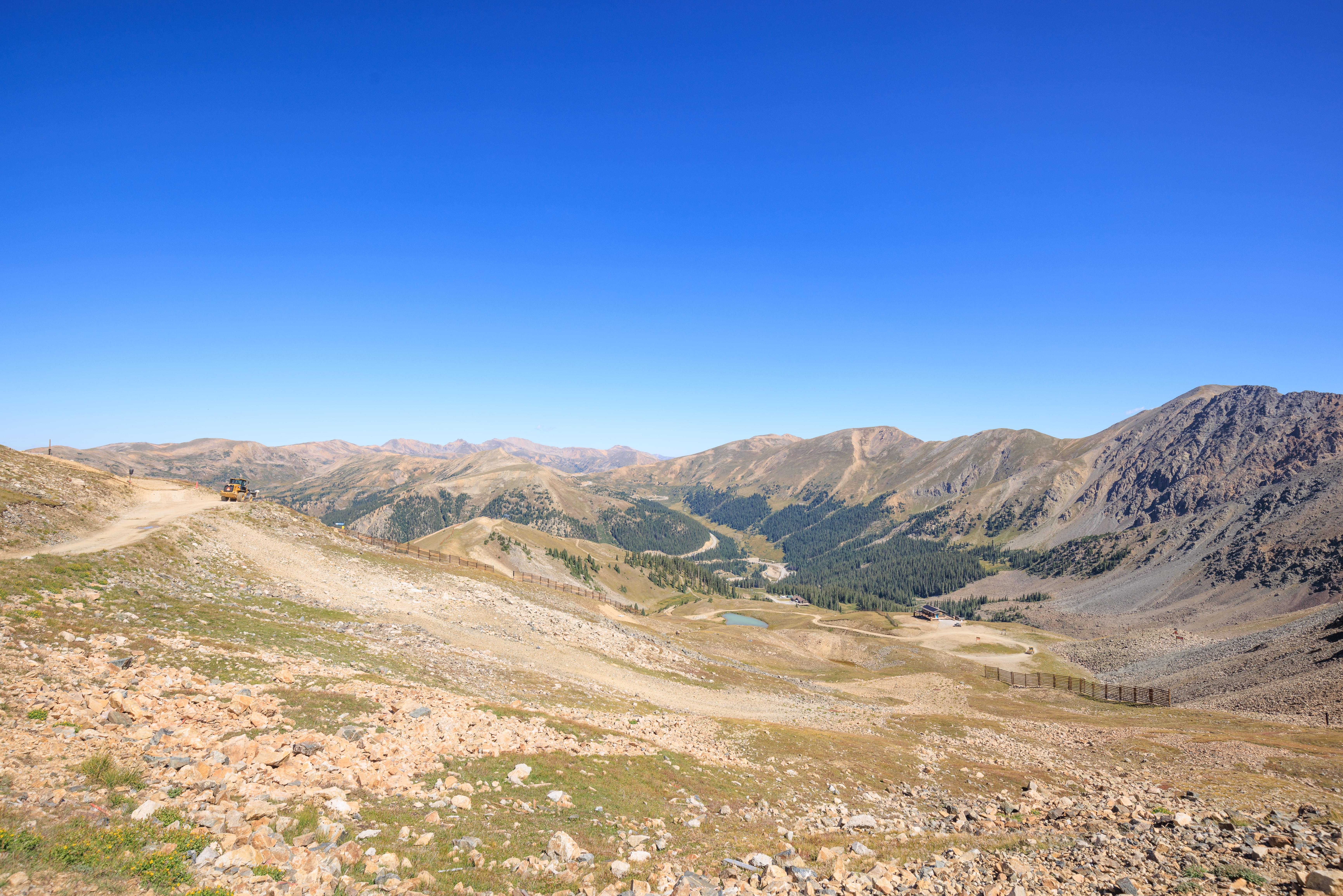
Looking up towards where we were headed! The Steilhang Hut is the building on the left, where the grass appears to meet the peak in the background. The Snow Plume Refuge is on the right at the very top. From here, everything looked so far away!
Onward and upward! The Black Mountain Lodge was looking much smaller!
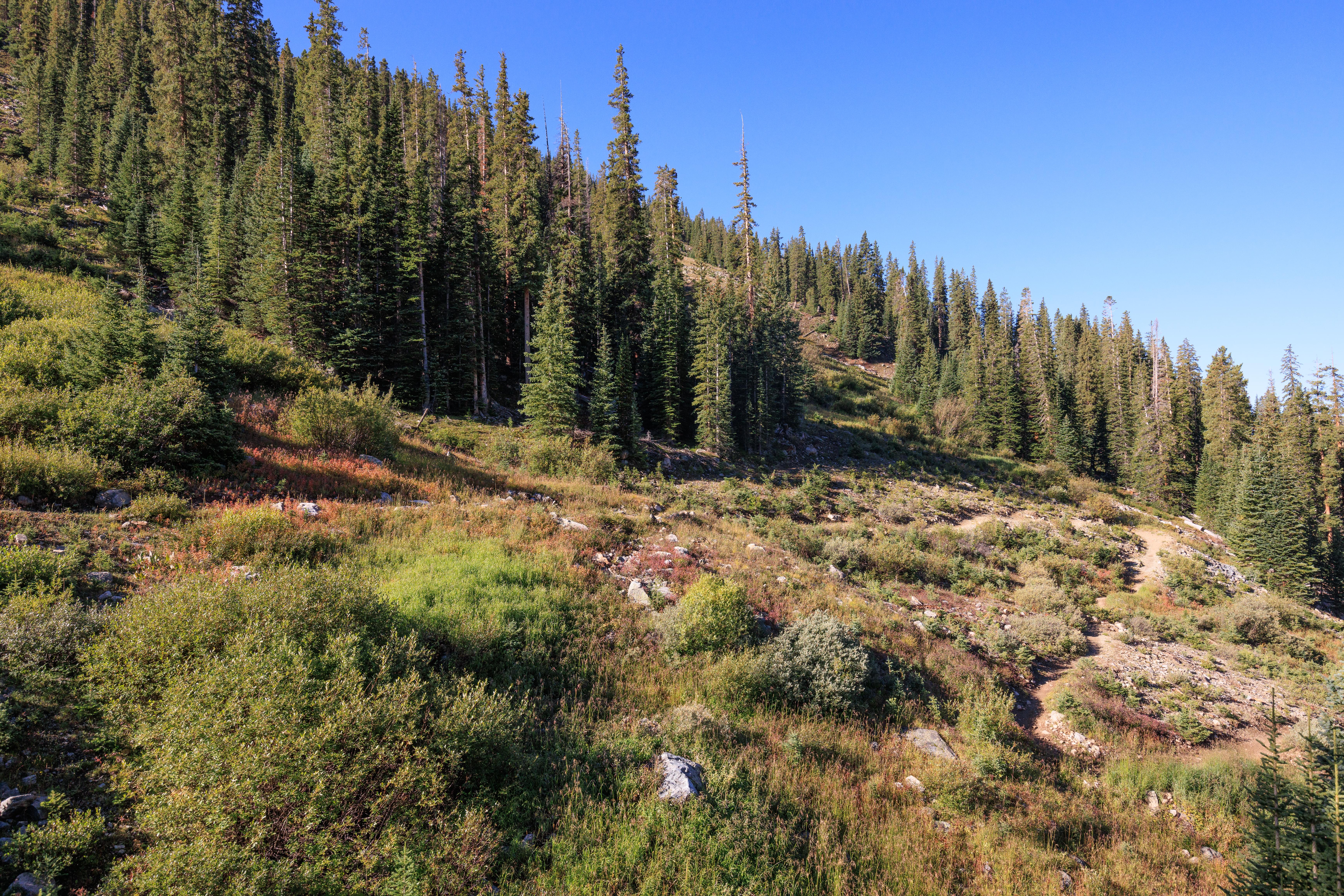
This part of the road was more of a gradual ascent, particularly compared to the initial section just above the Black Mountain Express. Here, high above us is the upper terminal of the Pallavicini lift.
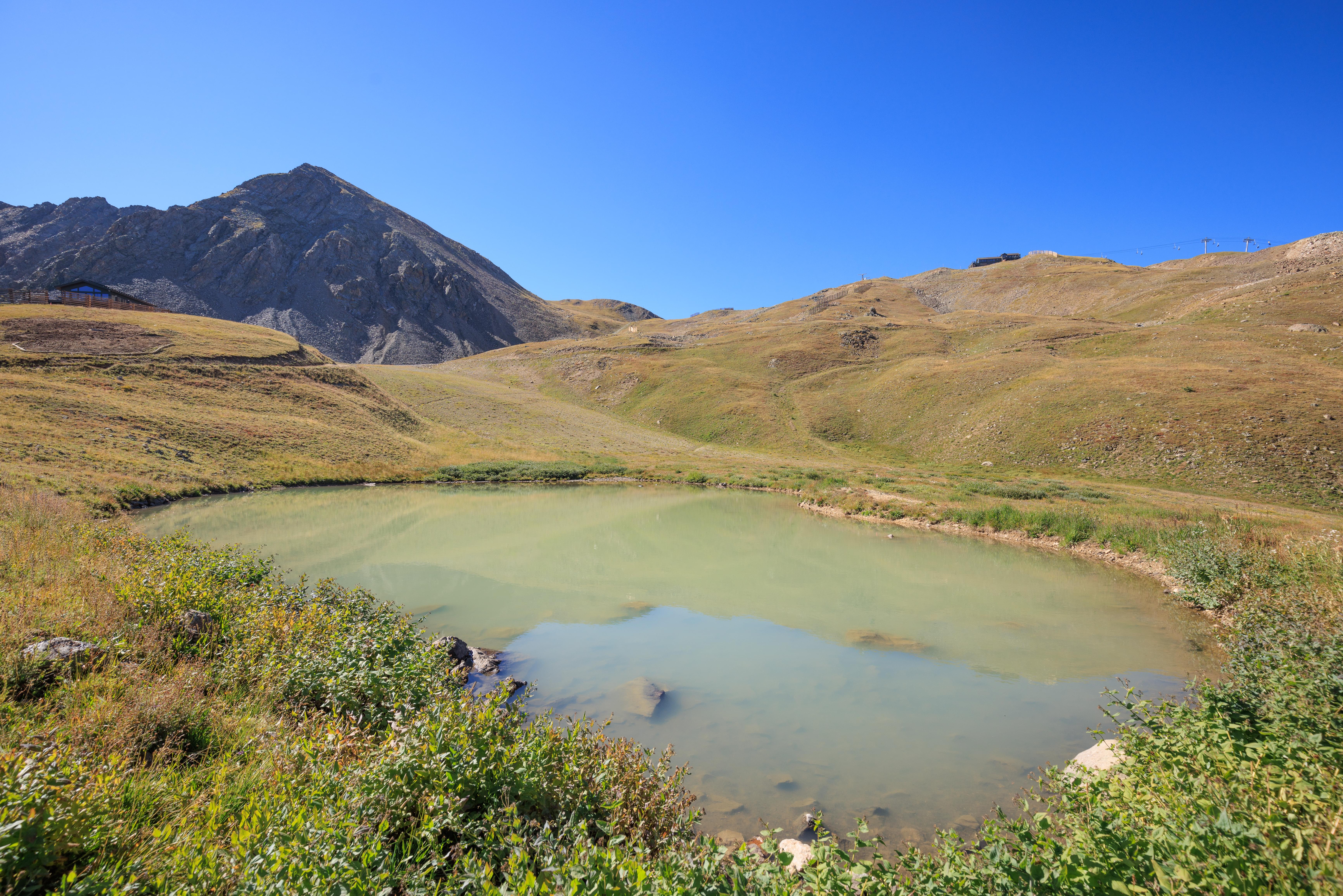
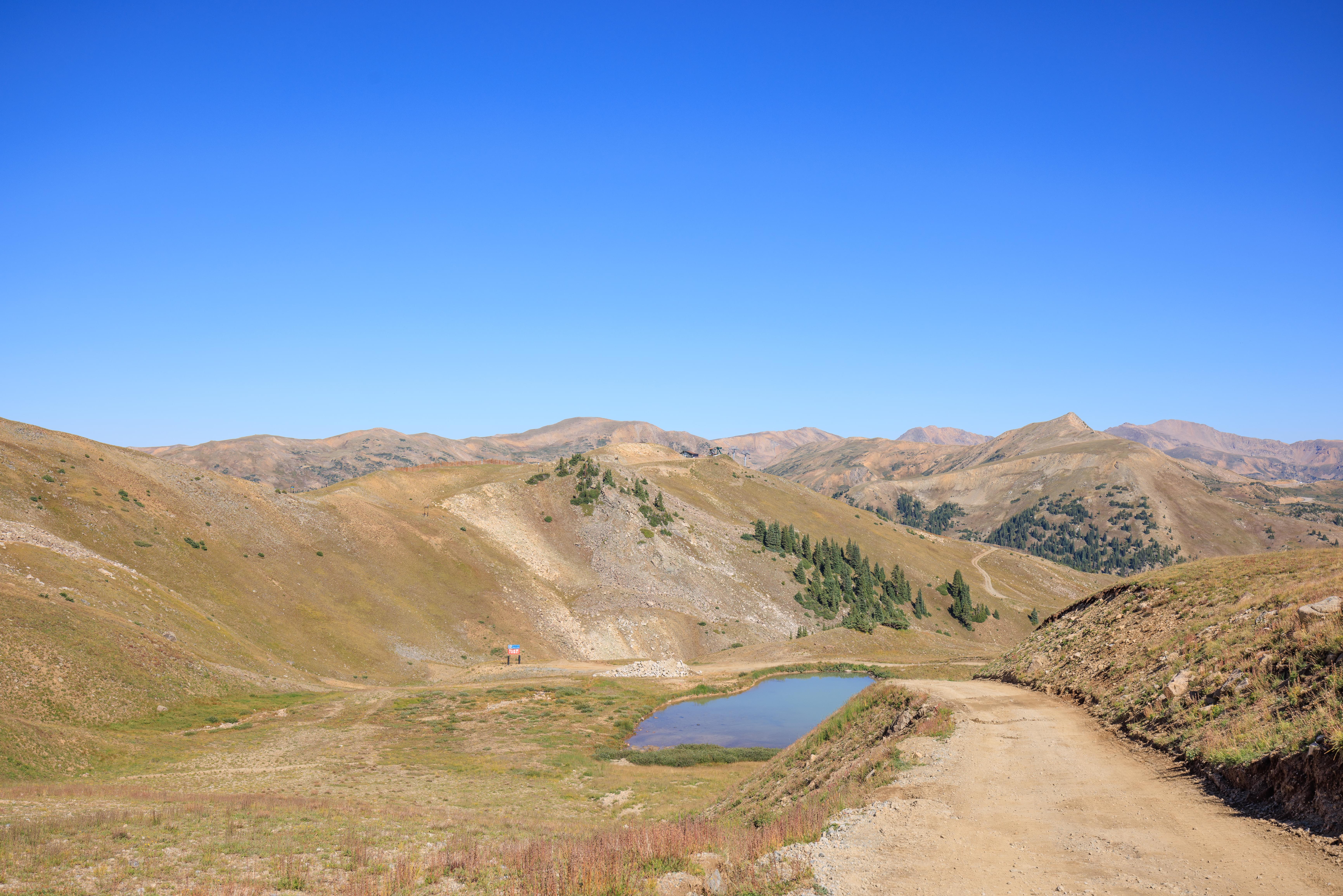
As we continued, we noticed a tiny pond that had formed.
A bit of a steep ascent as we continued on with the Snow Plume Refuge looking a little closer but still rather far away.
That little pond we saw earlier was now even smaller as we continued on.
The West Wall. It always looks rather intimidating from below. I’ve never skied it but it seems just at the edge of what I can handle. It maybe looks less steep in the summer?
Much higher up now! The Black Mountain Lodge looks tiny down below and is barely visible!
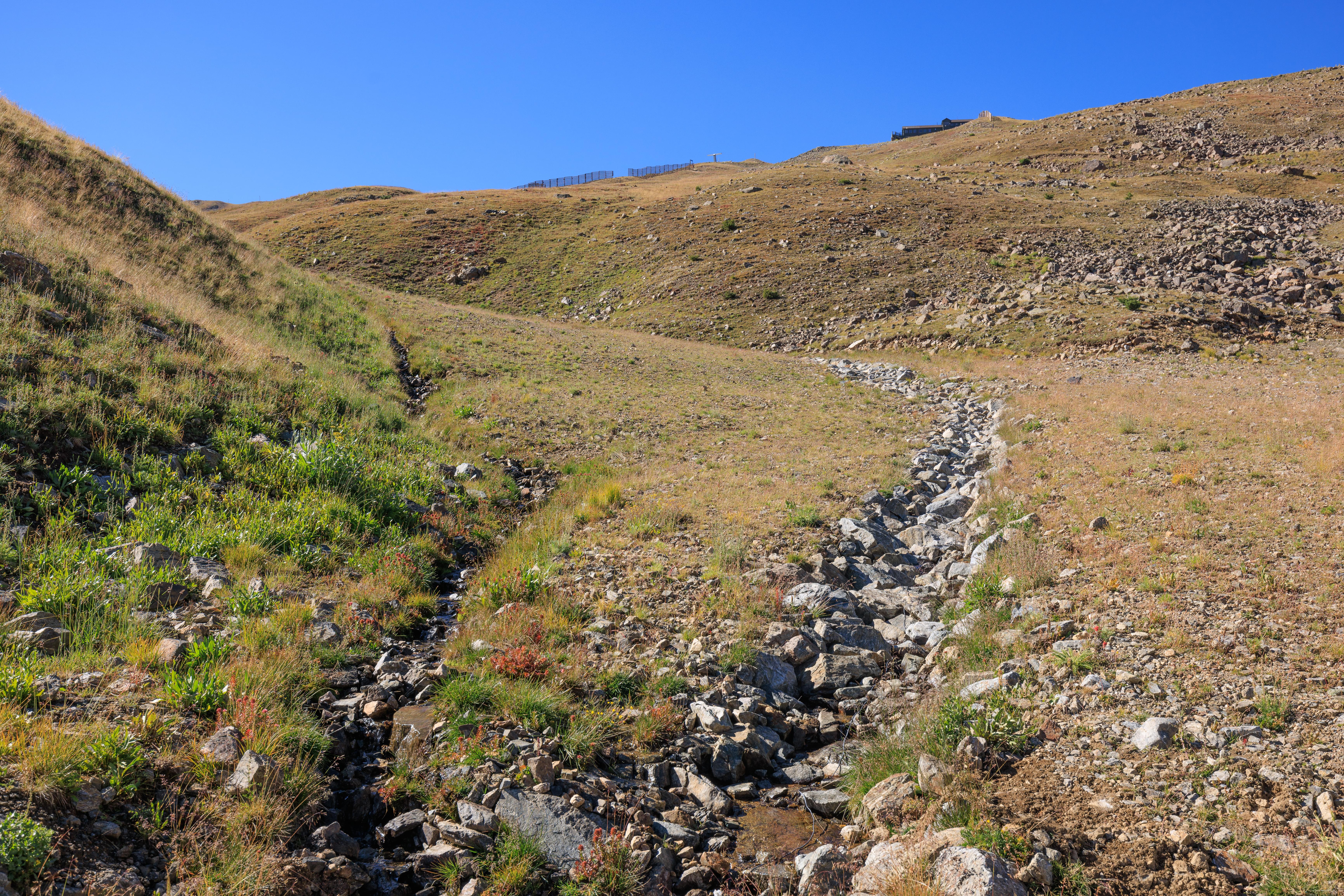
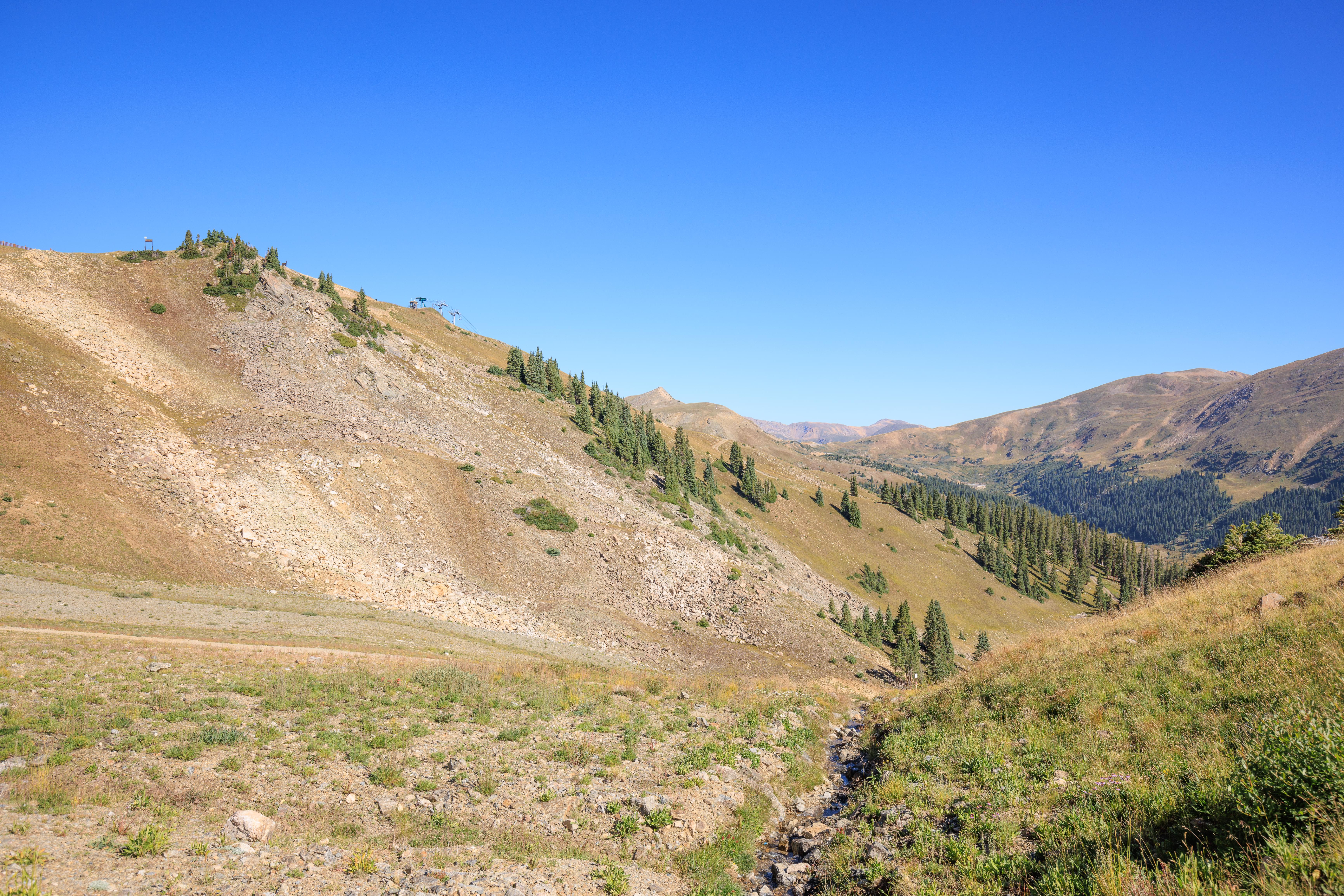
The road ran over a small creek that was coming down from above. This little creek was the most visible running water that we came across.
As the road gets closer to the Steilhang Hut, it diverges a bit from the way down when skiing. We’ve never skied on this particular trail that the road more or less follows.
We have been here though. I’ve probably taken this same photo in the winter.
We finally reached Lake Reveal! During the winter, its completely covered by snow. This is easily the largest pool of water up on the mountain.
As we continued, the lower part of the mountain was obscured by the terrain. At this altitude though, US Highway 6 is visible as it winds its way up to Loveland Pass. The pass is visible from here, vehicles parked there are visible as a few pixels each.
Looking up towards the Snow Plume Refuge, it looks larger now and not too far up!
Looking back, Lake Reveal is still visible but soon will become masked by the terrain.
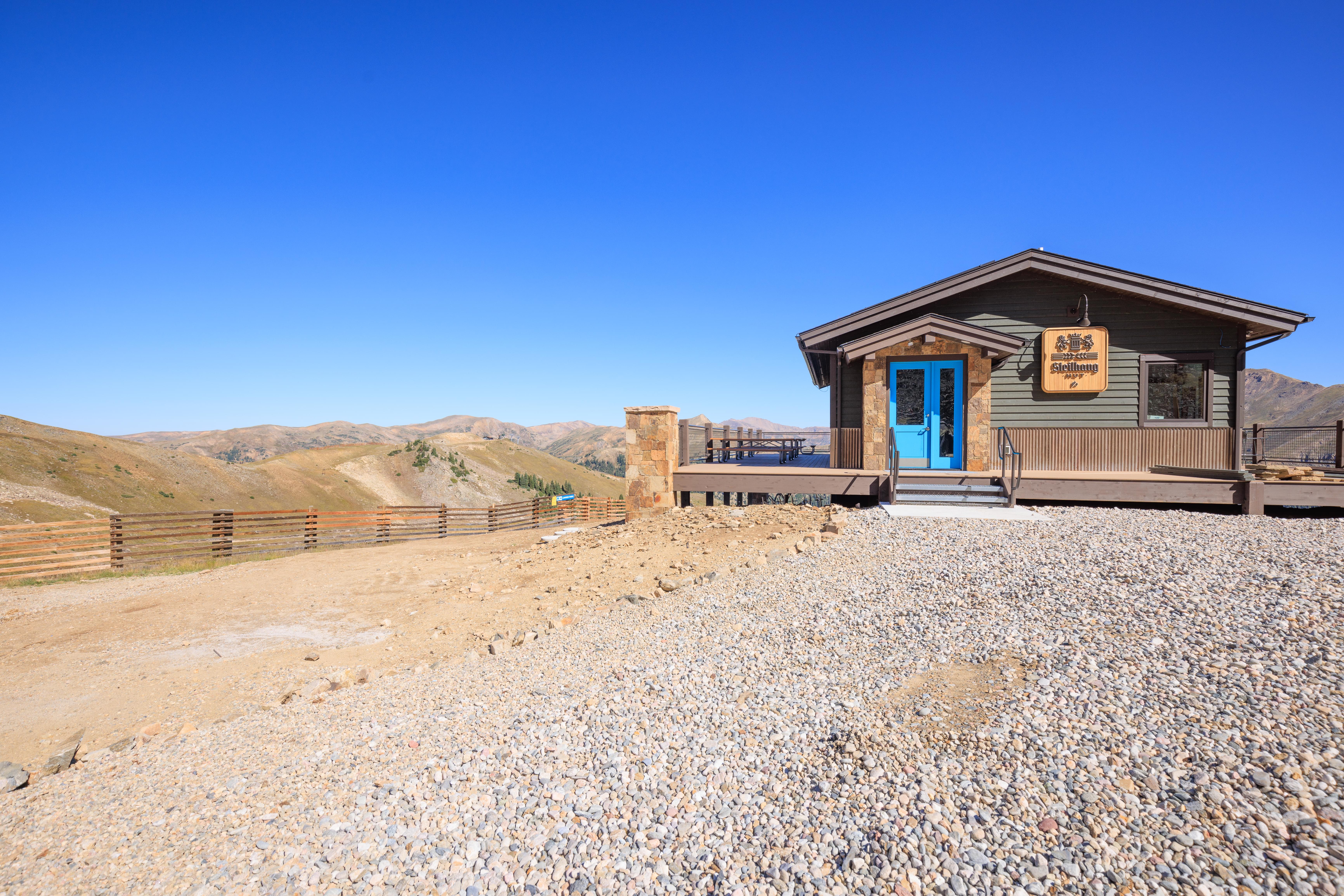
Finally, the Steilhang Hut! It is not open in the summer but the tables are still out on the deck, providing a nice place to rest.
The views from here are spectacular! A very familiar scene that I’ve photographed many times while skiing by in the winter before the Steilhang Hut was built.
We decided to keep going after reaching the Steilhang Hut. We felt good and the Snow Plume Refuge didn’t look too far away now!
A little bit up the mountain from the Steilhang Hut, we reached the point where I tore my ACL in the Spring of the ’20/’21 ski season. While much of the terrain looks familiar, the lower part definitely looks rather different.

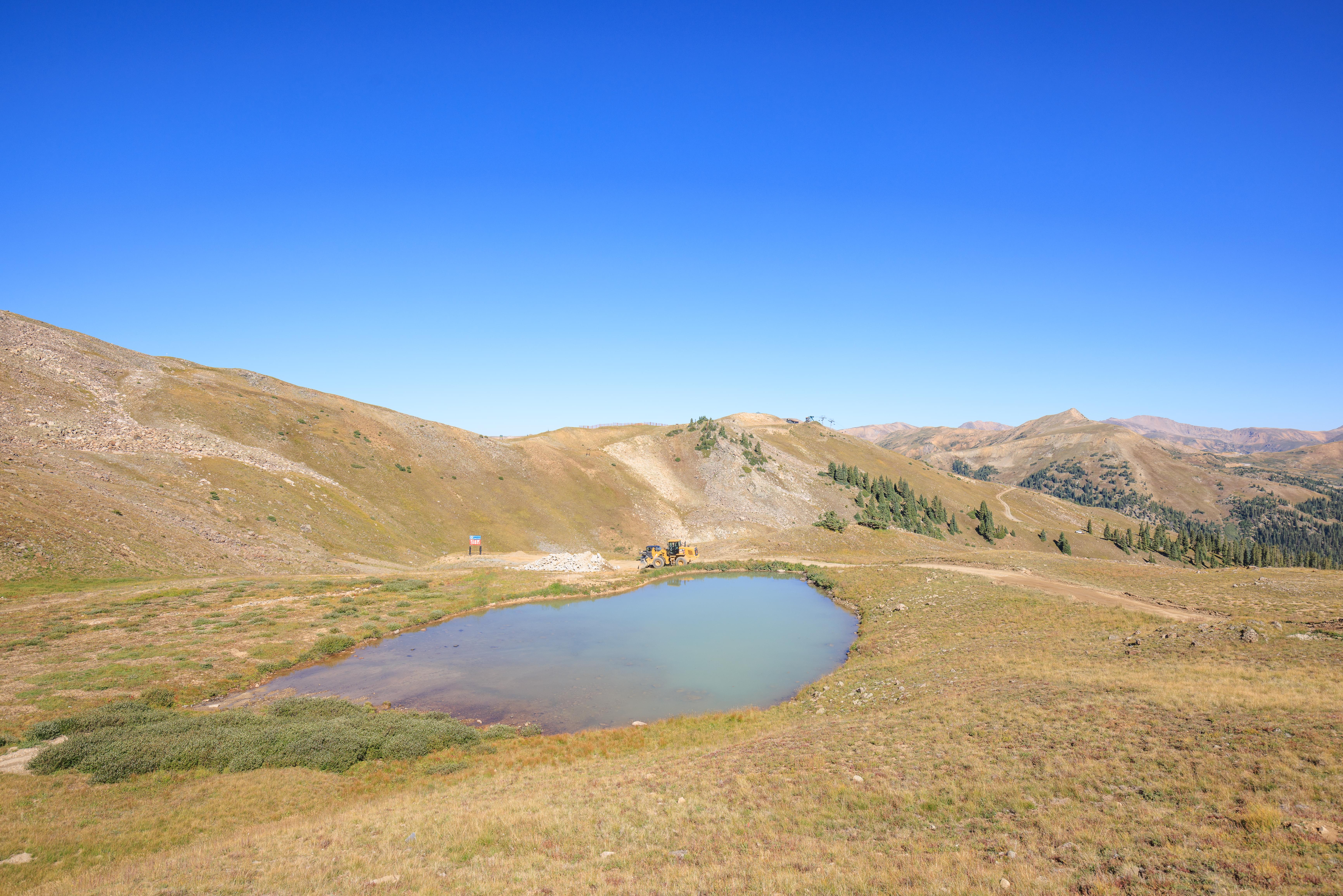
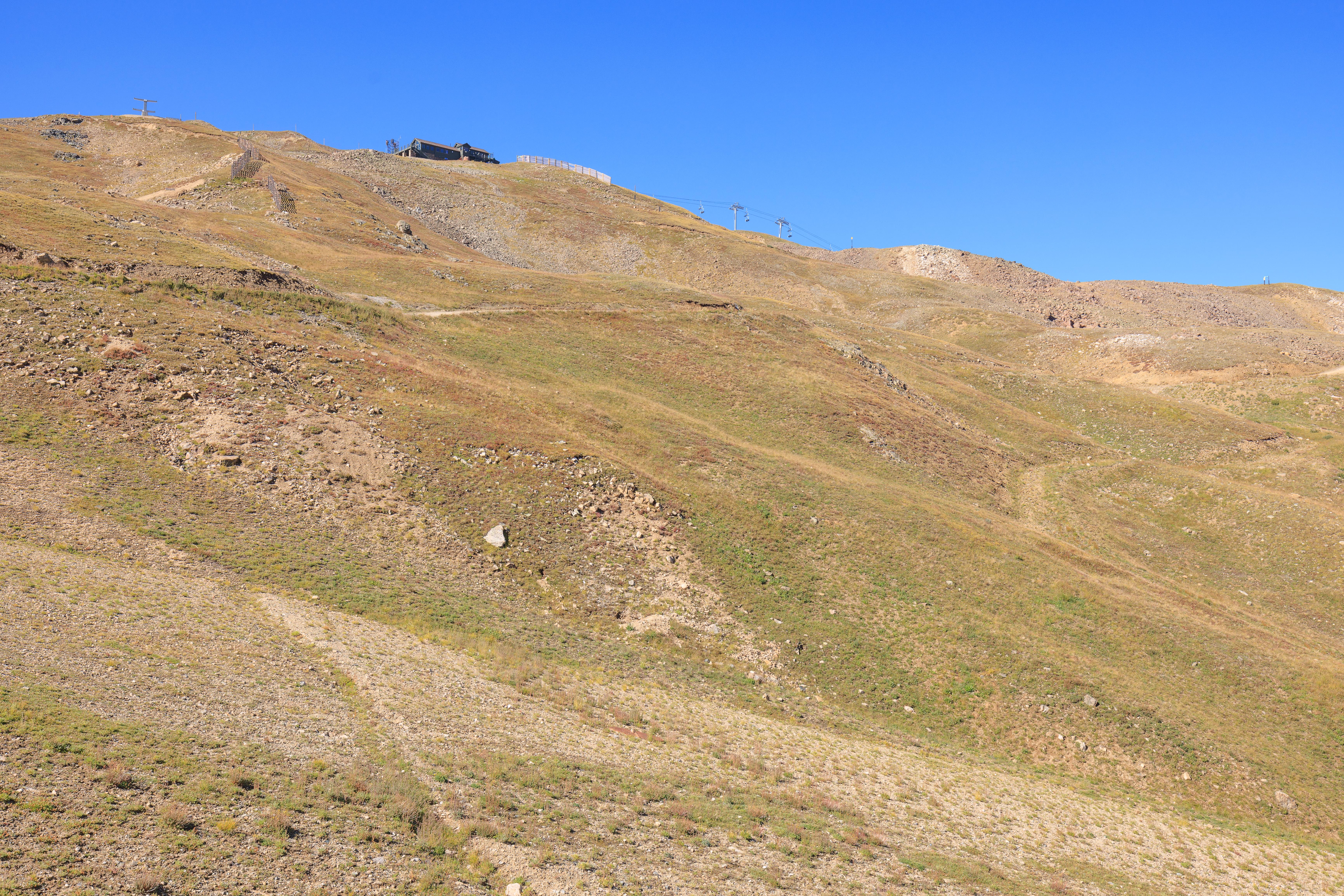
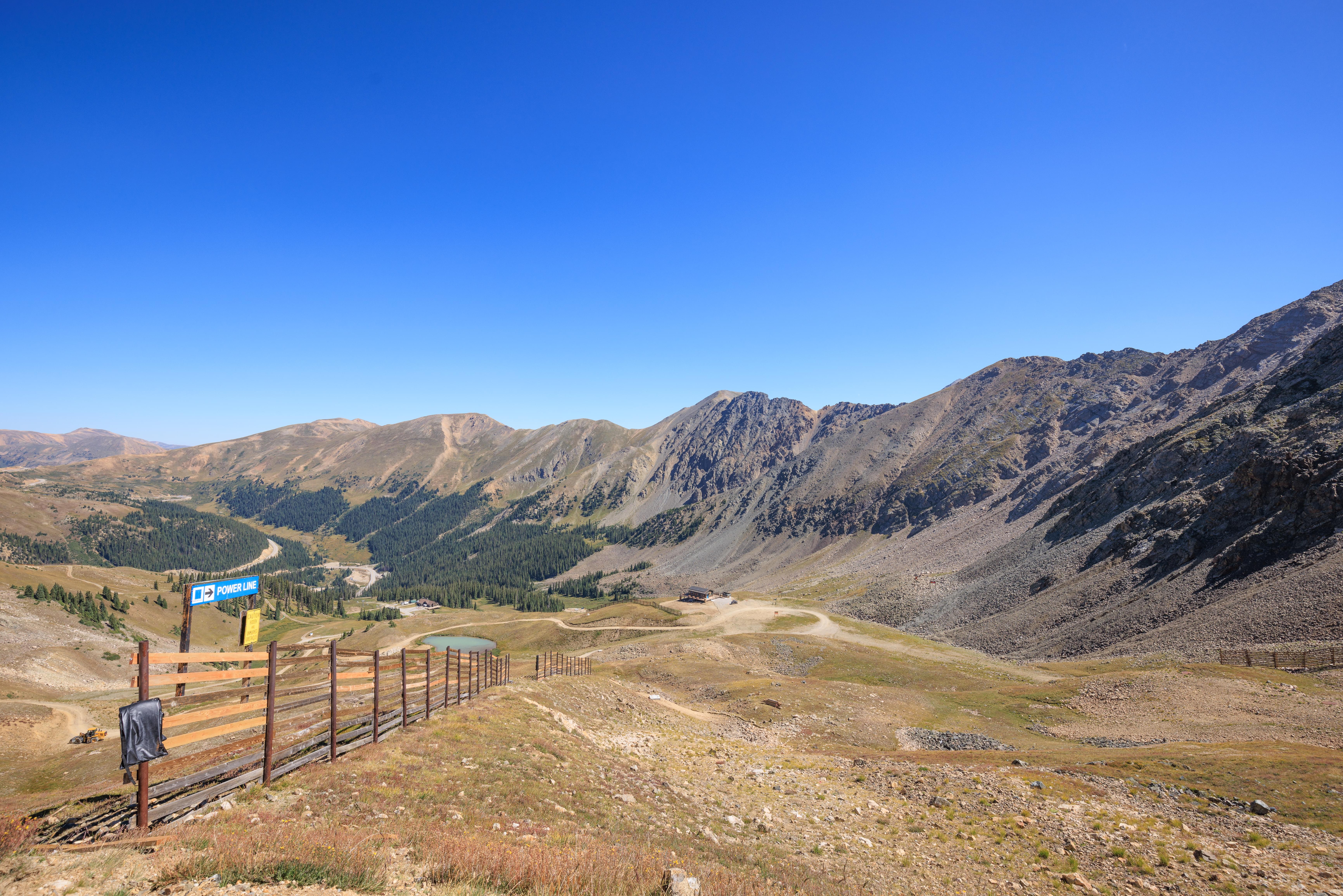
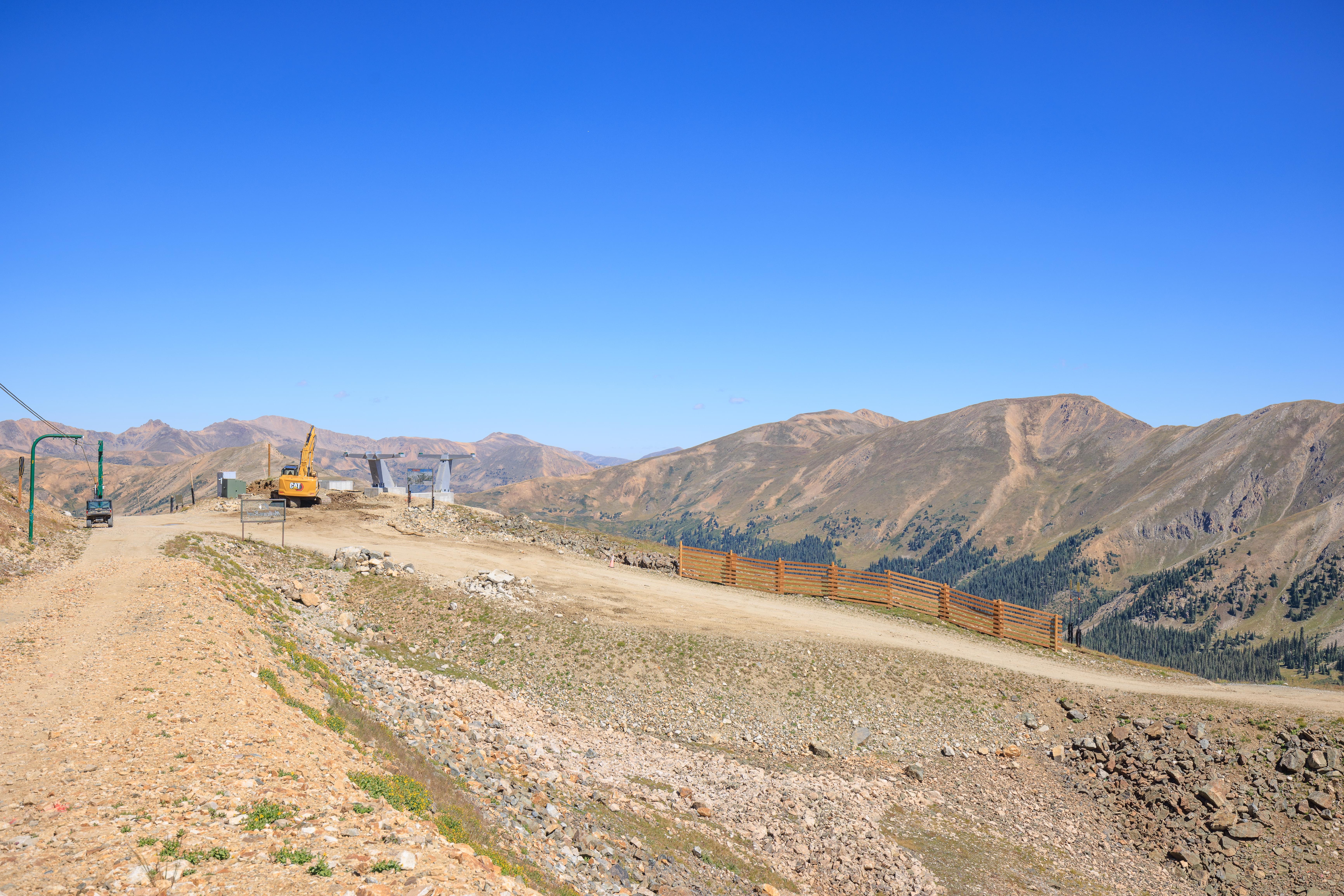
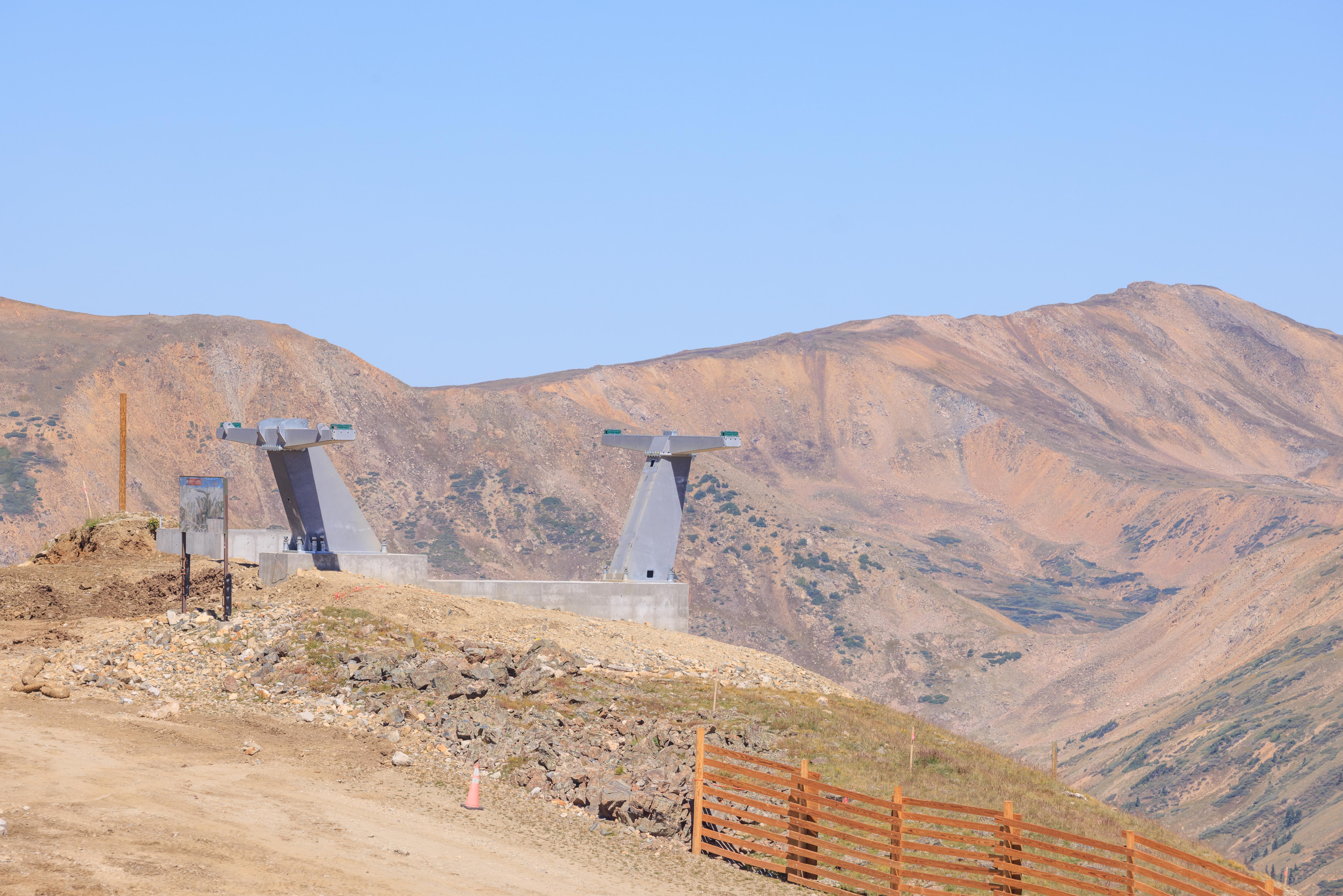
Here, the road passes under where the old Lenawee lift stood. It is being replaced by a new high speed detachable lift, like the Black Mountain Express but seating 6 instead of 4. The foundation for one of the towers is here on the side of the road with part of the upper terminal in place at the very top of the mountain.
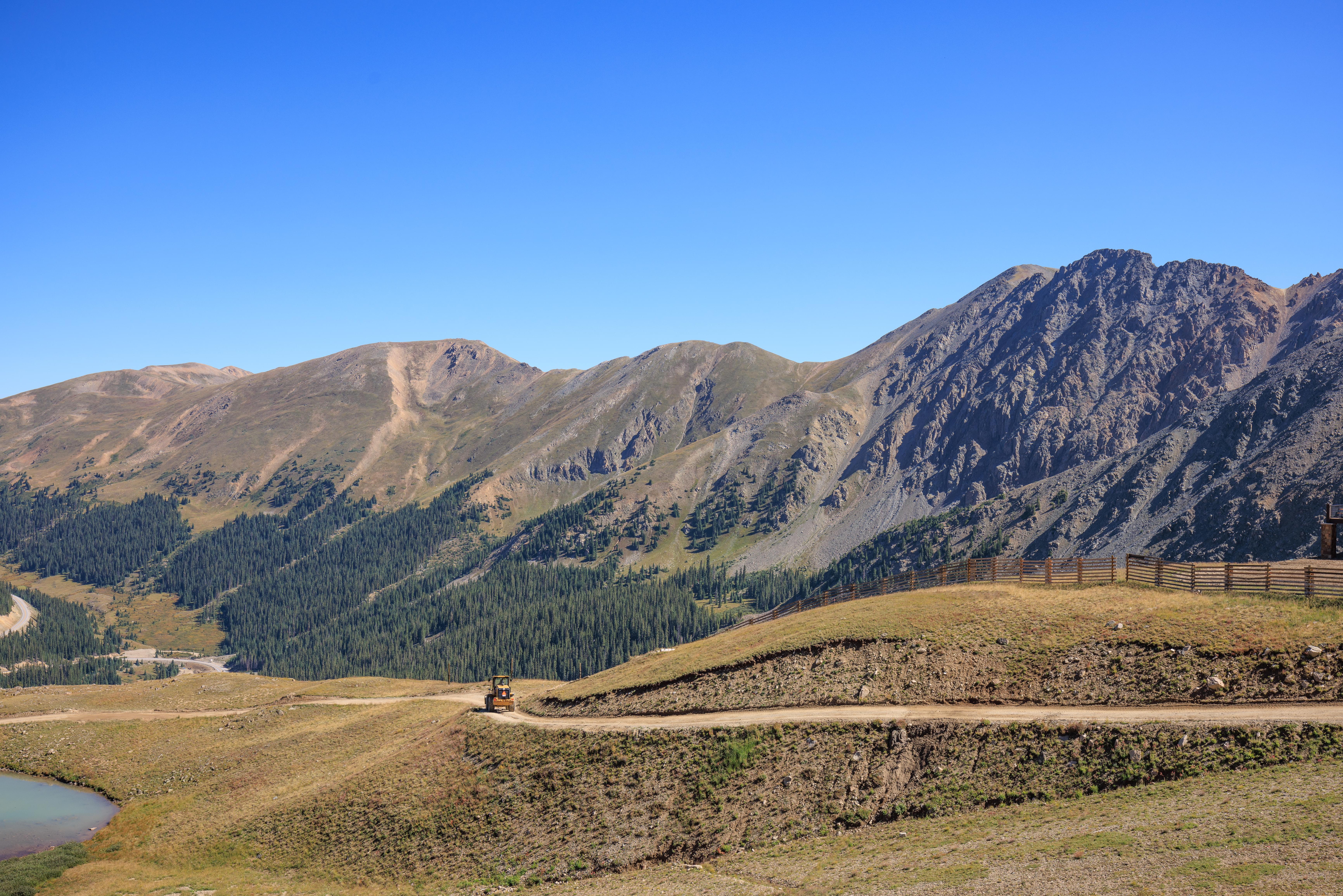
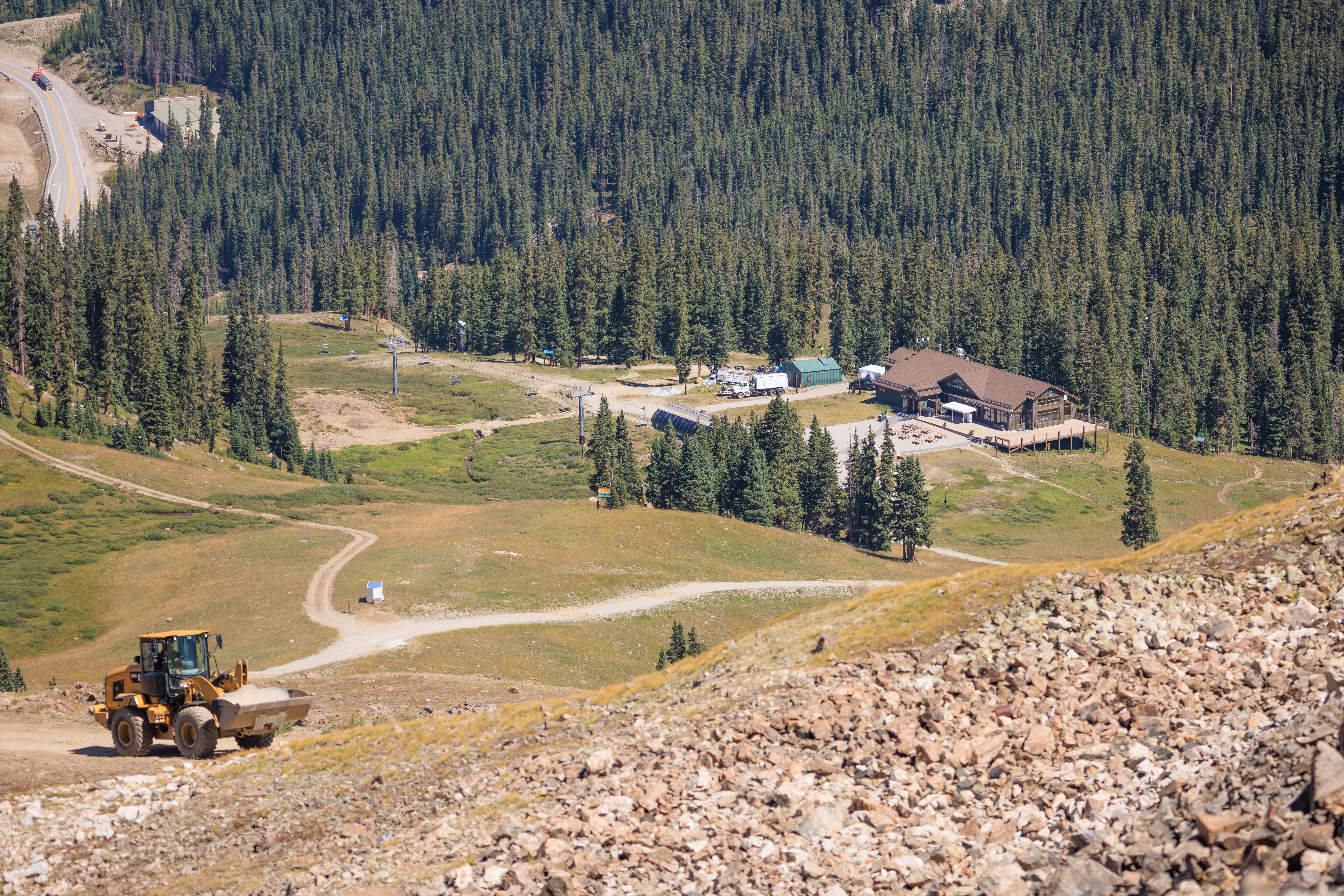
The next downhill tower is visible looking back to where we passed on the way from Lake Reveal to the Steilhang Hut. Also in this photo is a bulldozer. They were busy moving what appeared to be debris from the foundation of the old Lenawee lift down the mountain. The road is pretty narrow in spots but we were always able to find a good place to step aside to allow these big machines to pass.
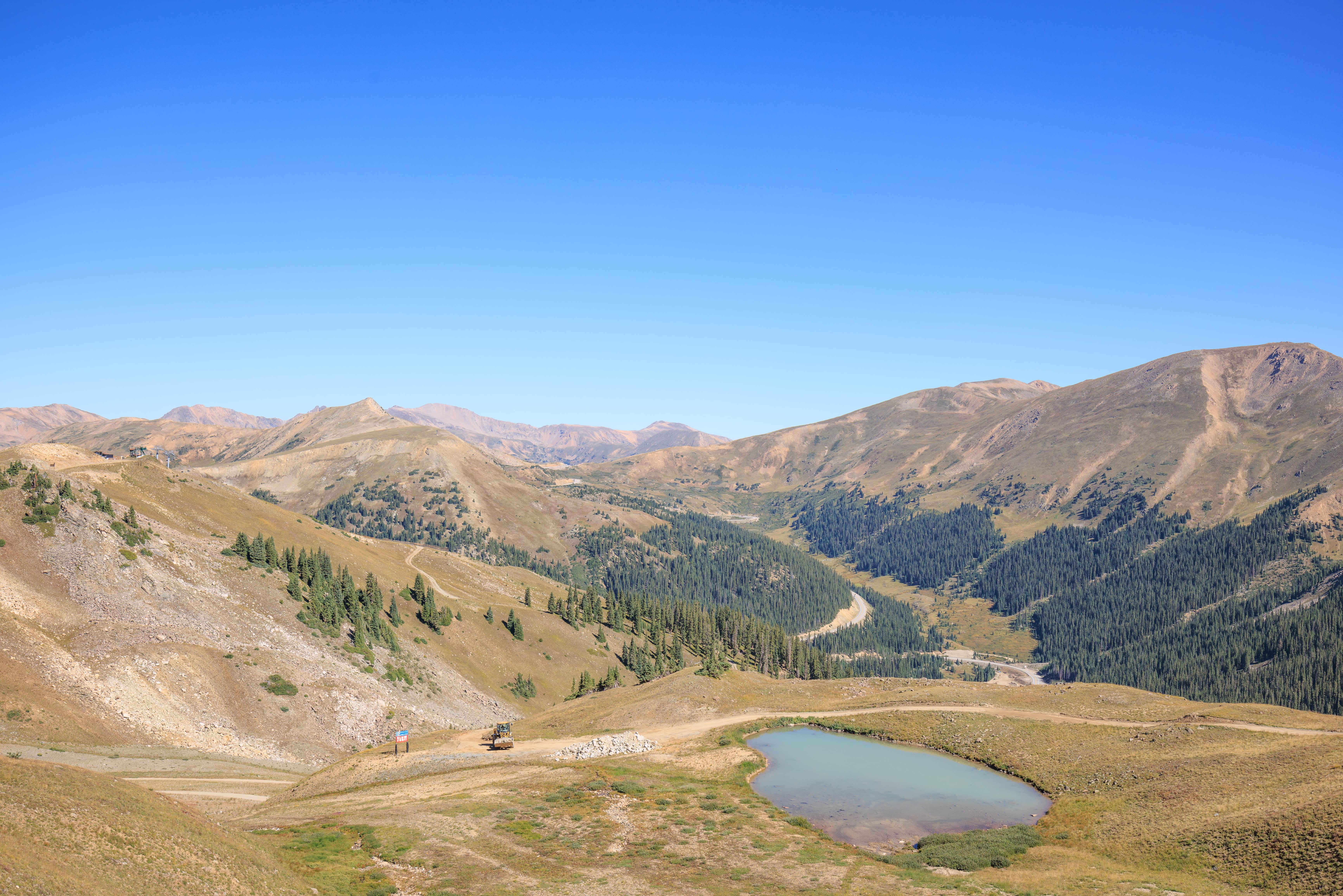
Looking down towards Lake Reveal with the same bulldozer turning to drop its load next to the little lake.
A bulldozer after it passed us on its way up the mountain to collect more debris. When we started our hike, there was just one bulldozer working but eventually a second showed up.
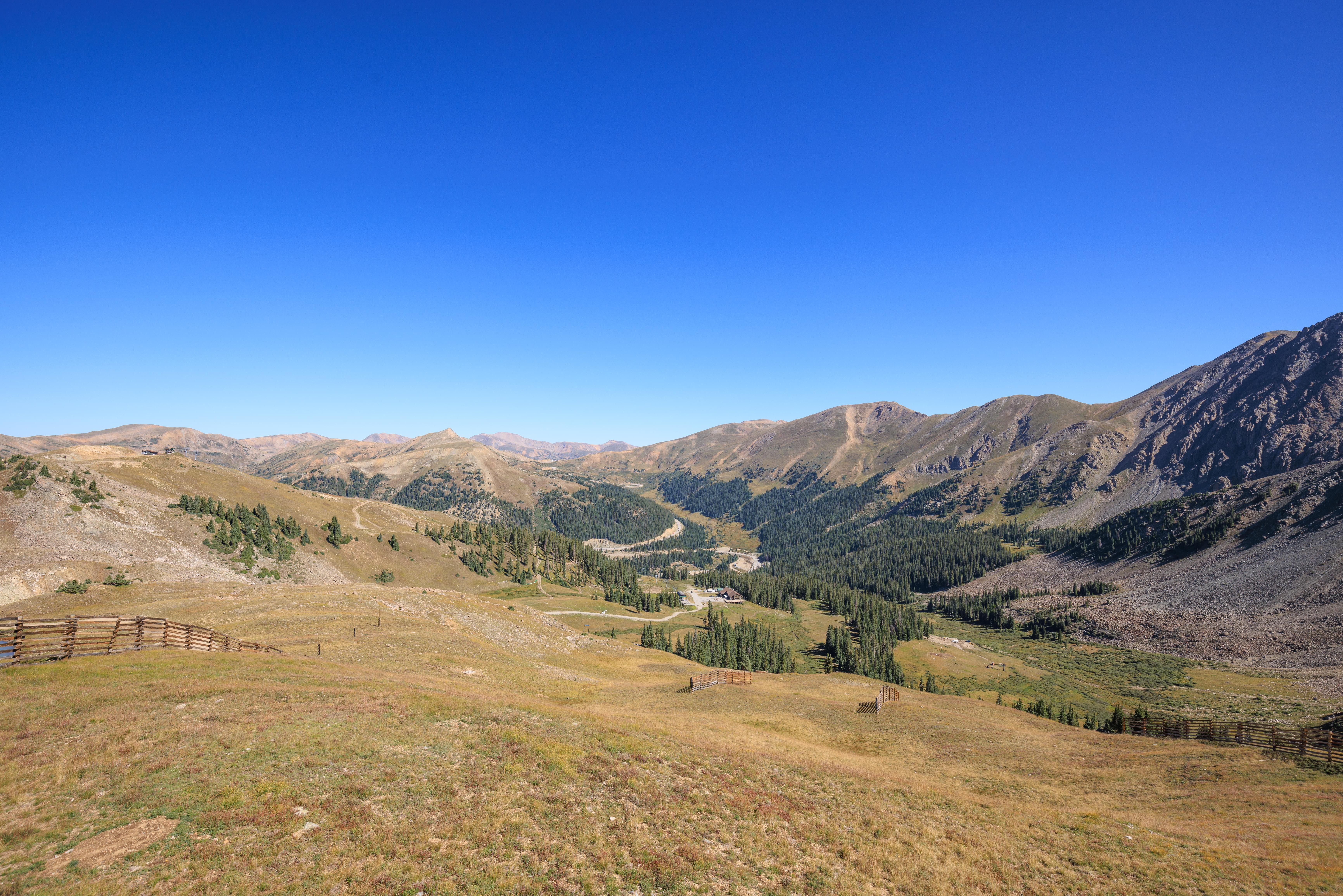
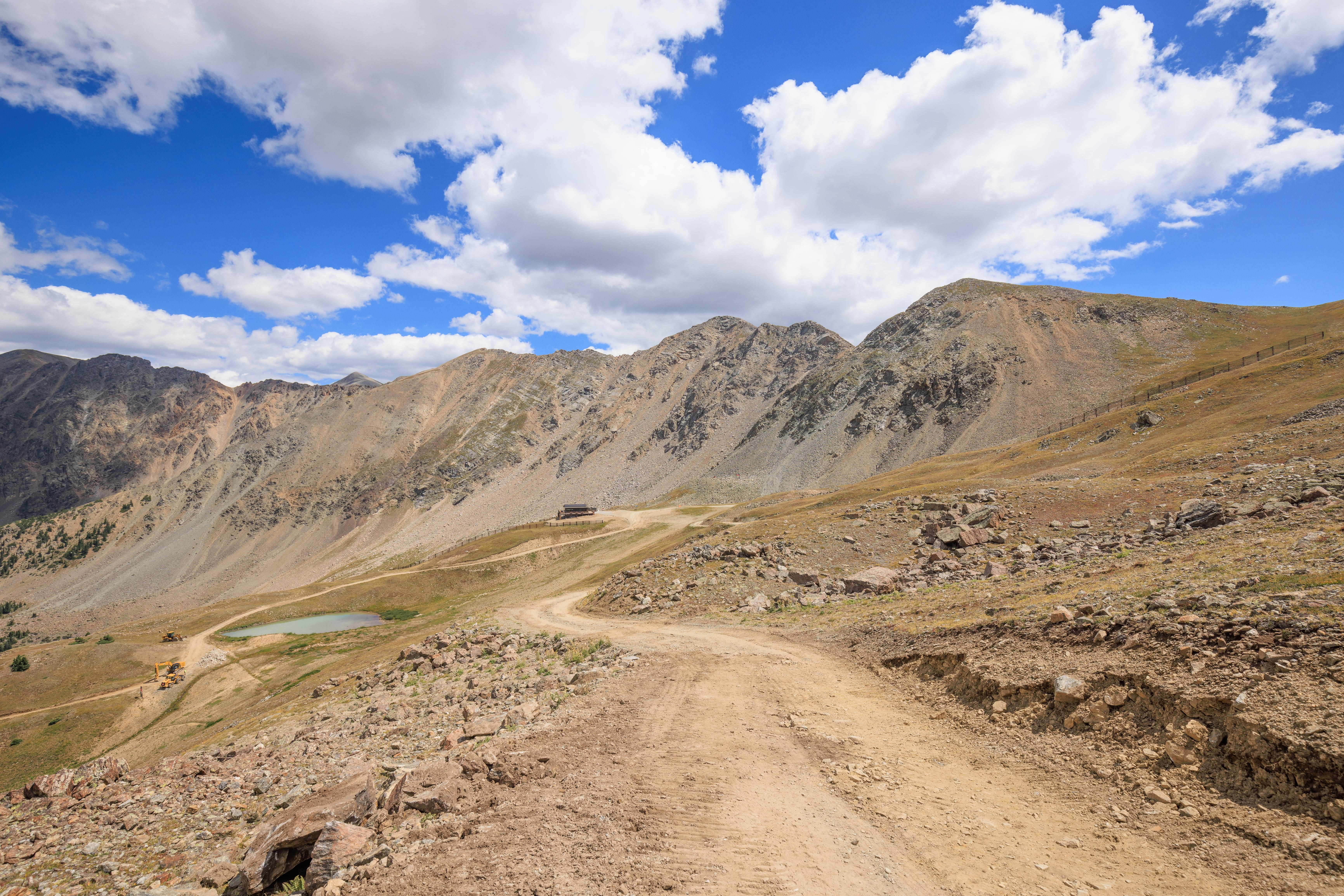
Eventually, we were able to get both Lake Reveal and Steilhang Hut in one photo. The road didn’t ascend too steeply above the Steilhang Hut at this point. It was a rather gradual incline.
At this point, we were definitely quite a bit higher than the Black Mountain Lodge down below and also a tad higher than the Pallavicini lift at the top of the peak on the left.
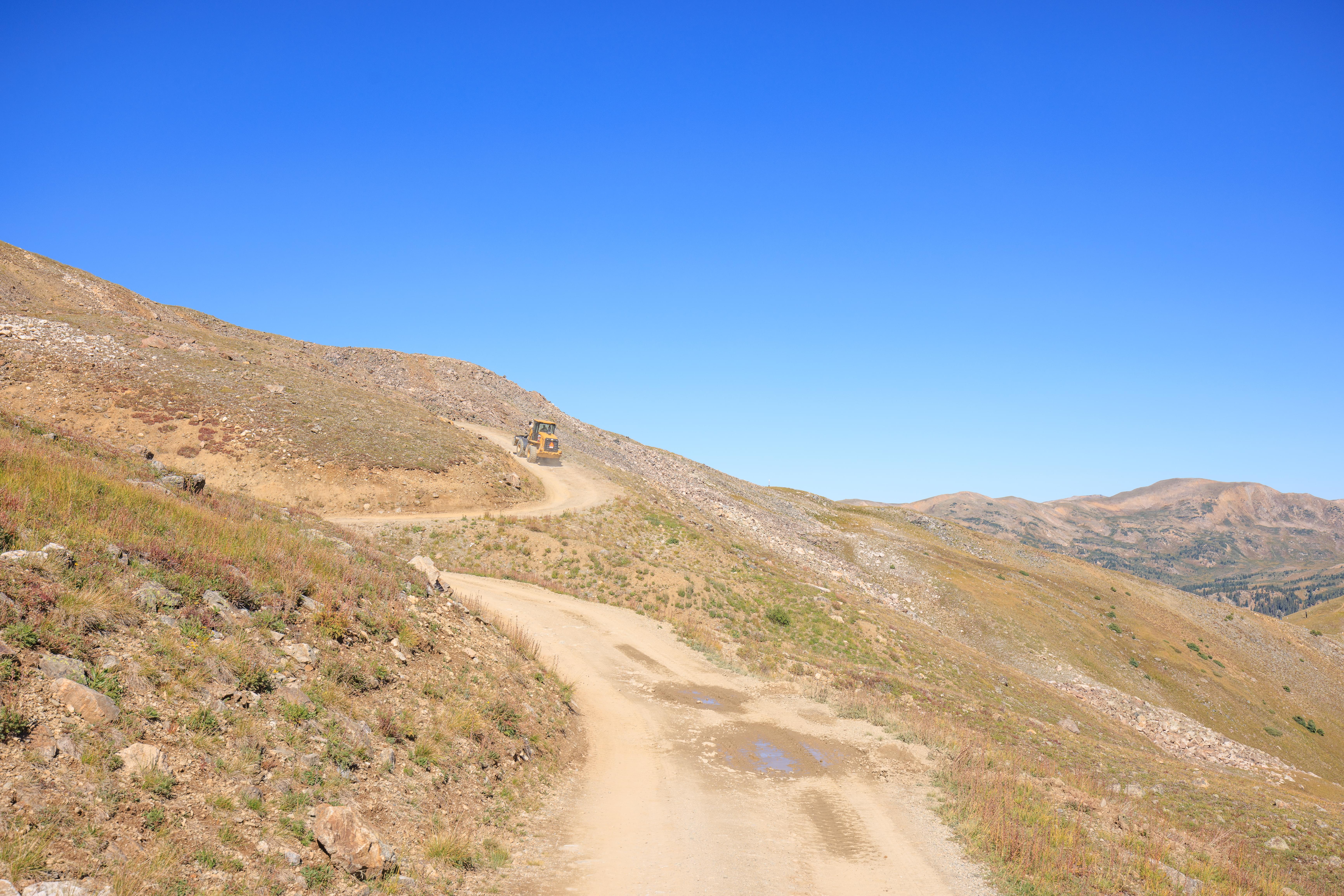
The nice gradual incline soon ended. Other than the initial part of the road, this was definitely the steepest section!
A similar view to what we saw before, just from higher up.
A beautiful view as we continued ascending with a perfectly clear blue sky!
Almost there!
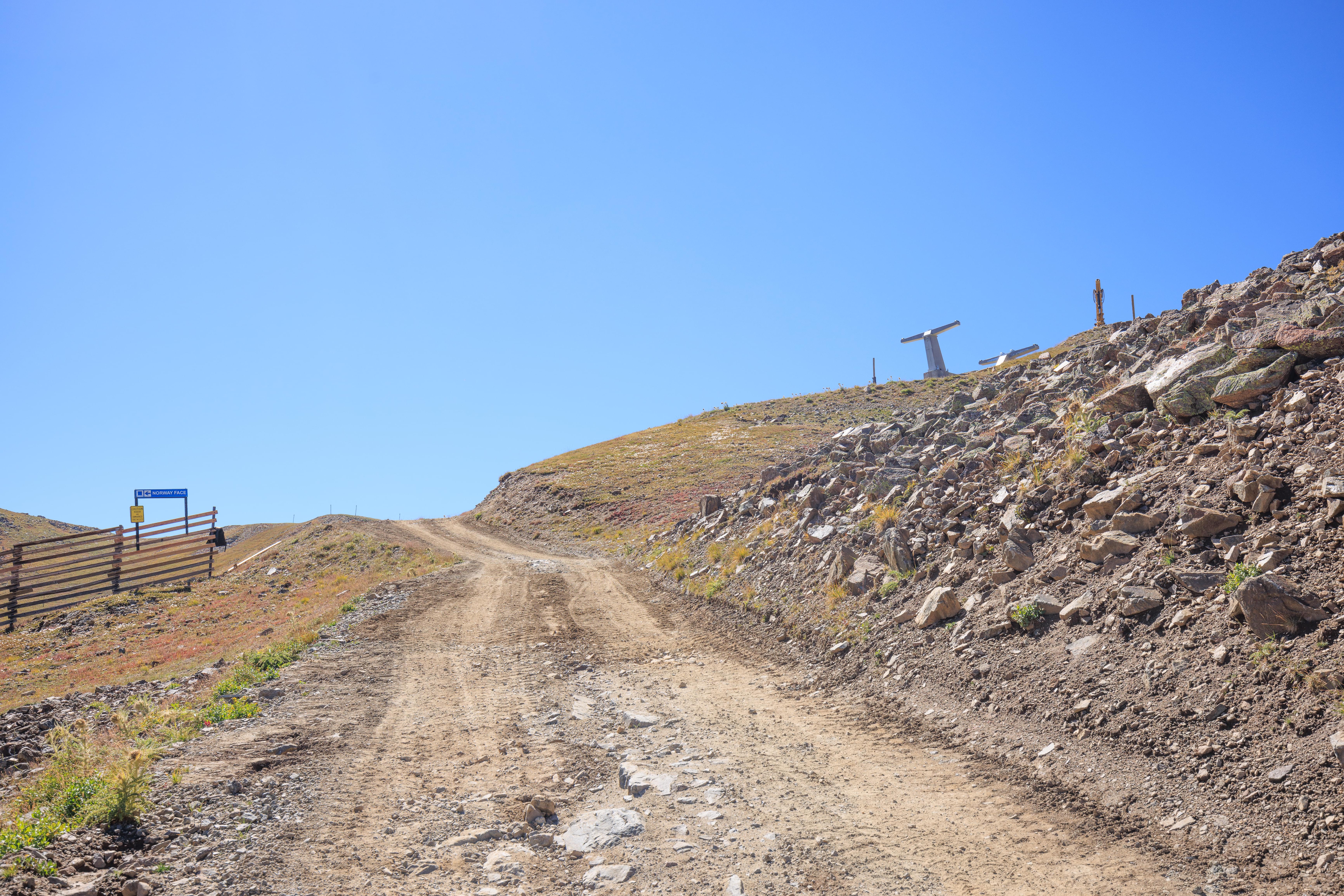
We’ve skied by this point many times on both sides of this fence! The place where I tore my ACL on this trail appears to be half-way between the little pile of wood and the slow sign below it.
There was a choice of paths here. We decided to not turn here.

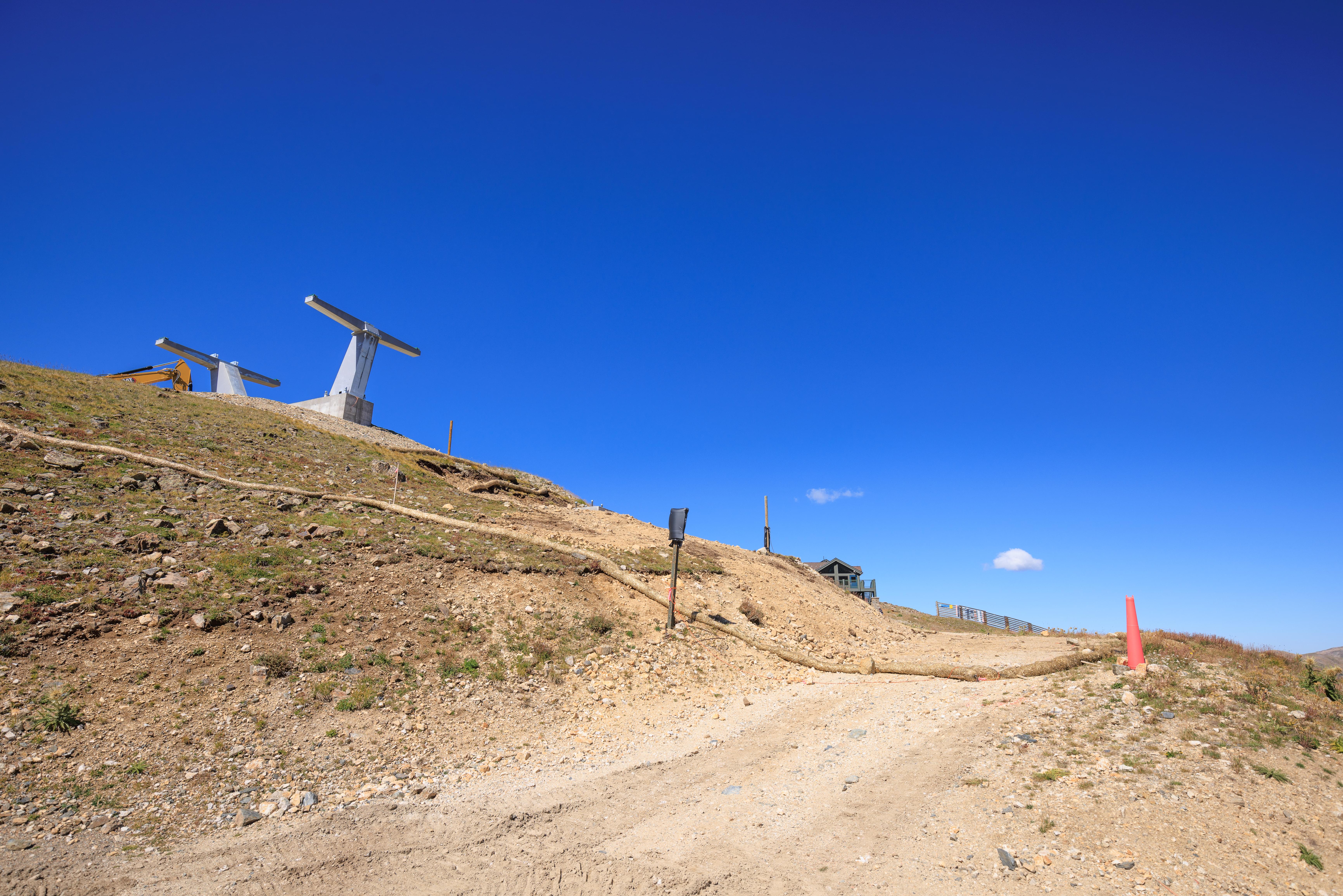
At the point where we decided to go straight, just a bit uphill from the fence that we walked by. A wonderful view of Lenawee Face below us.
And further uphill at the highest point above Lenawee Face. This is my preferred starting point for skiing down this trail.
After taking a few photos from the top of Lenawee Face, we walked by the upper terminal of the new Lenawee lift and headed towards the Zuma Lift, which is behind us.
Looking down from the top of the Montezuma Bowl can be rather intimidating in the winter. Its no different in the summer! Particularly from this spot.
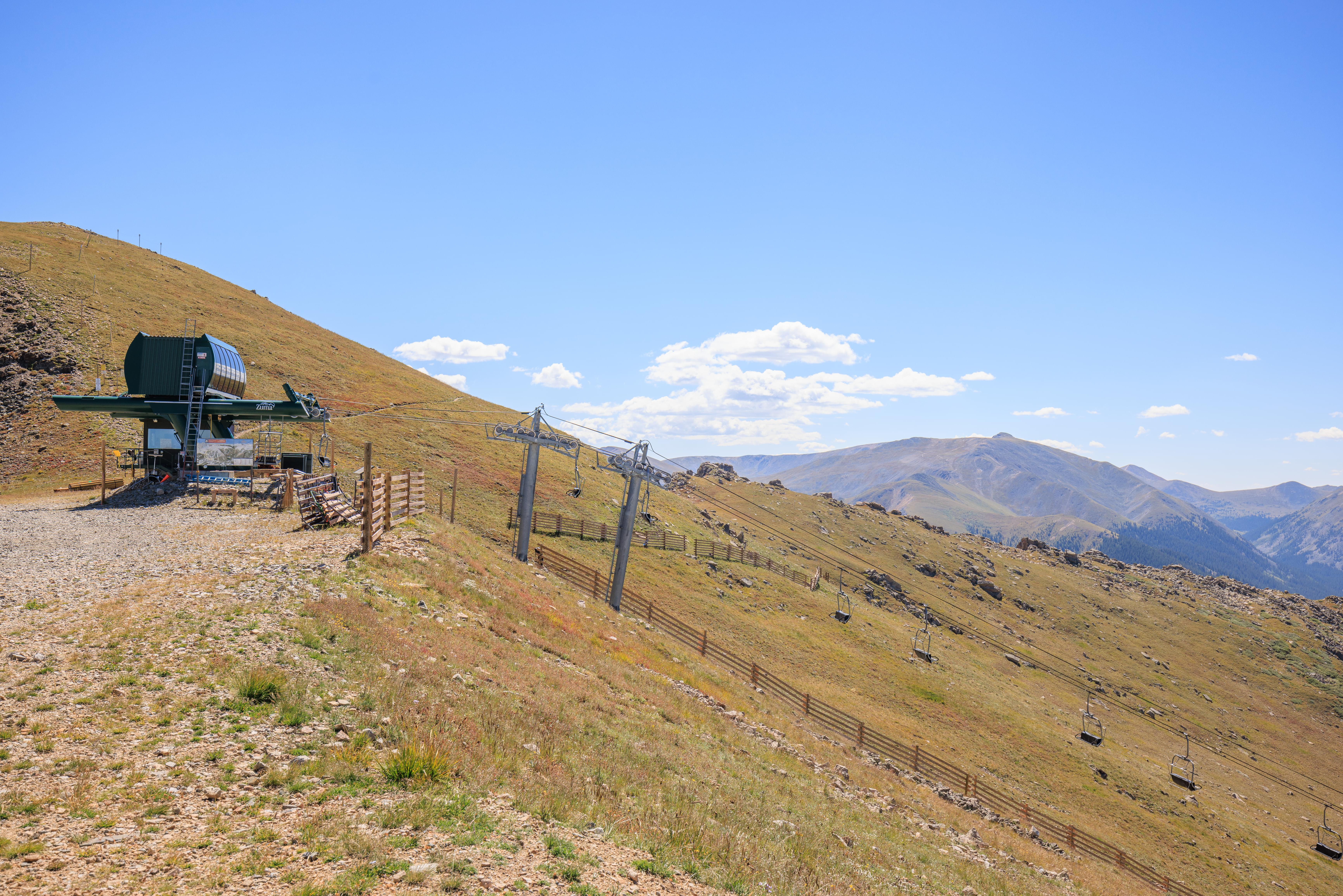
We continued walking in this direction towards the Zuma lift.
This is the only place from which I’ve entered the Motezuma Bowl! And as far as we walked today in this direction.
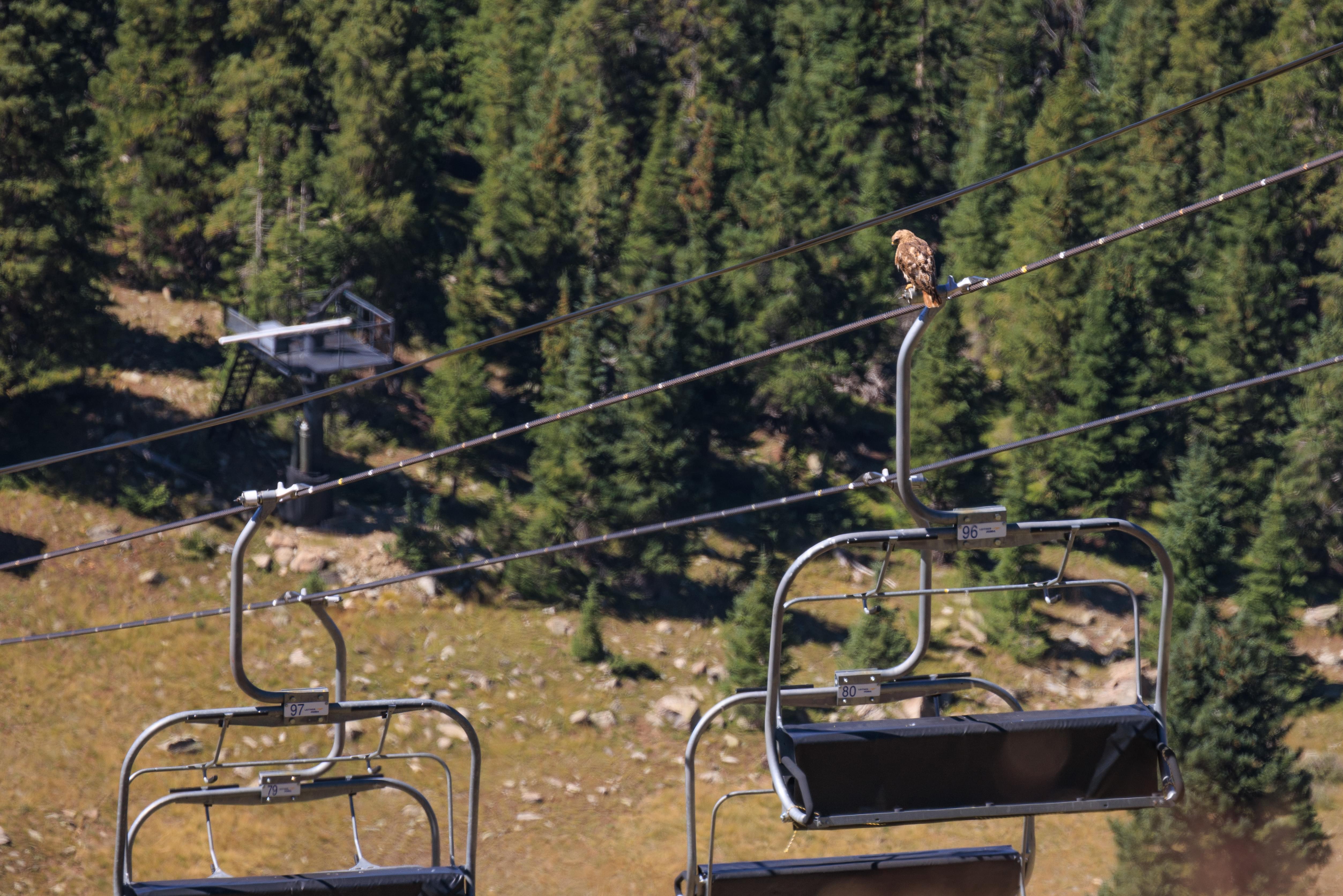
We noticed a Red-Tailed Hawk land on one of the Zuma chairs! It stayed there for a long time, perhaps looking for prey.
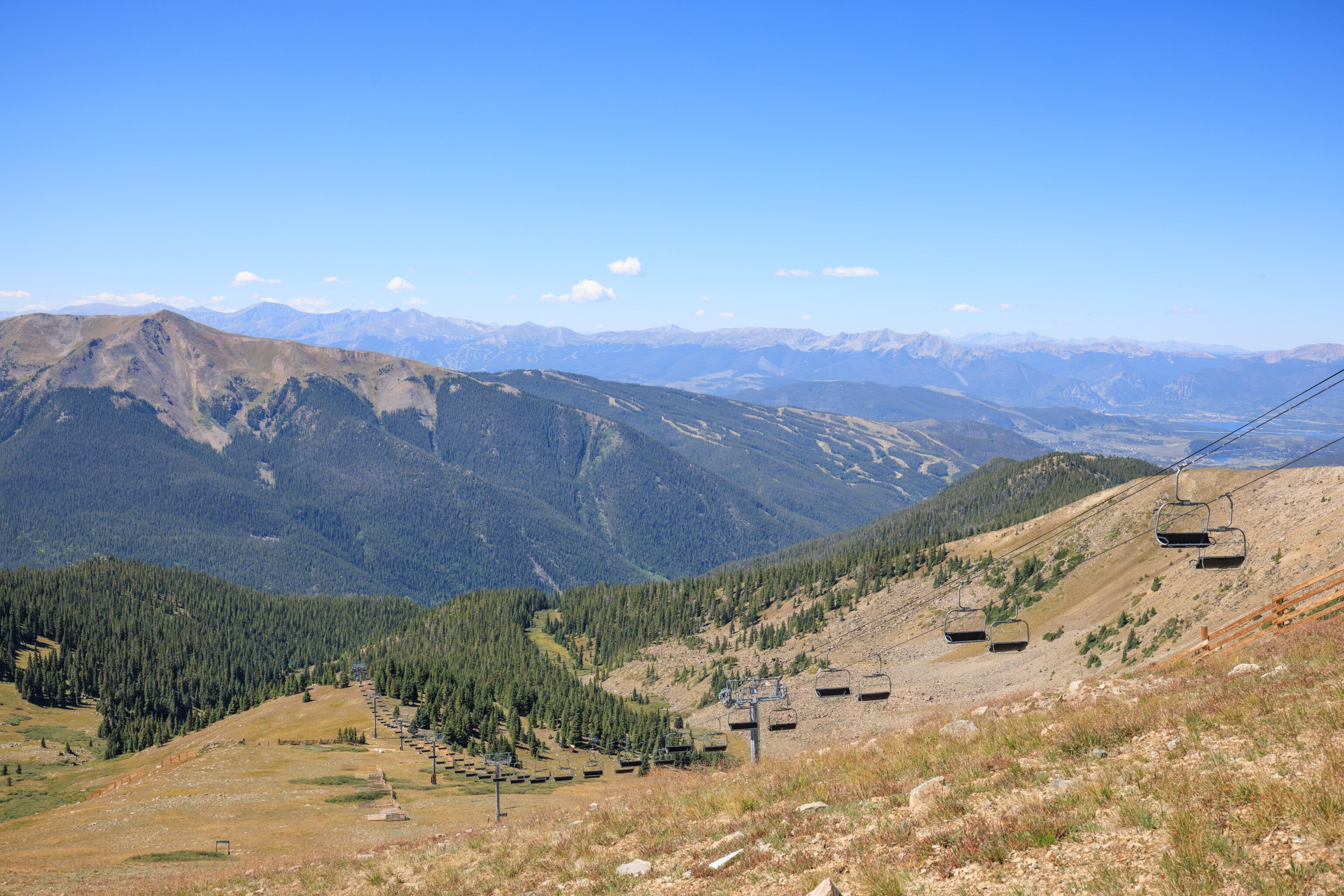
Quite a bit is visible from this point. In the foreground, one of the summits of Keystone where we were two days ago! And in the distance, Breckenridge.
Also visible is part of Lake Dillon, in the distance to the right.
A closer look at what will be the top terminal of the new Lenawee Express lift.
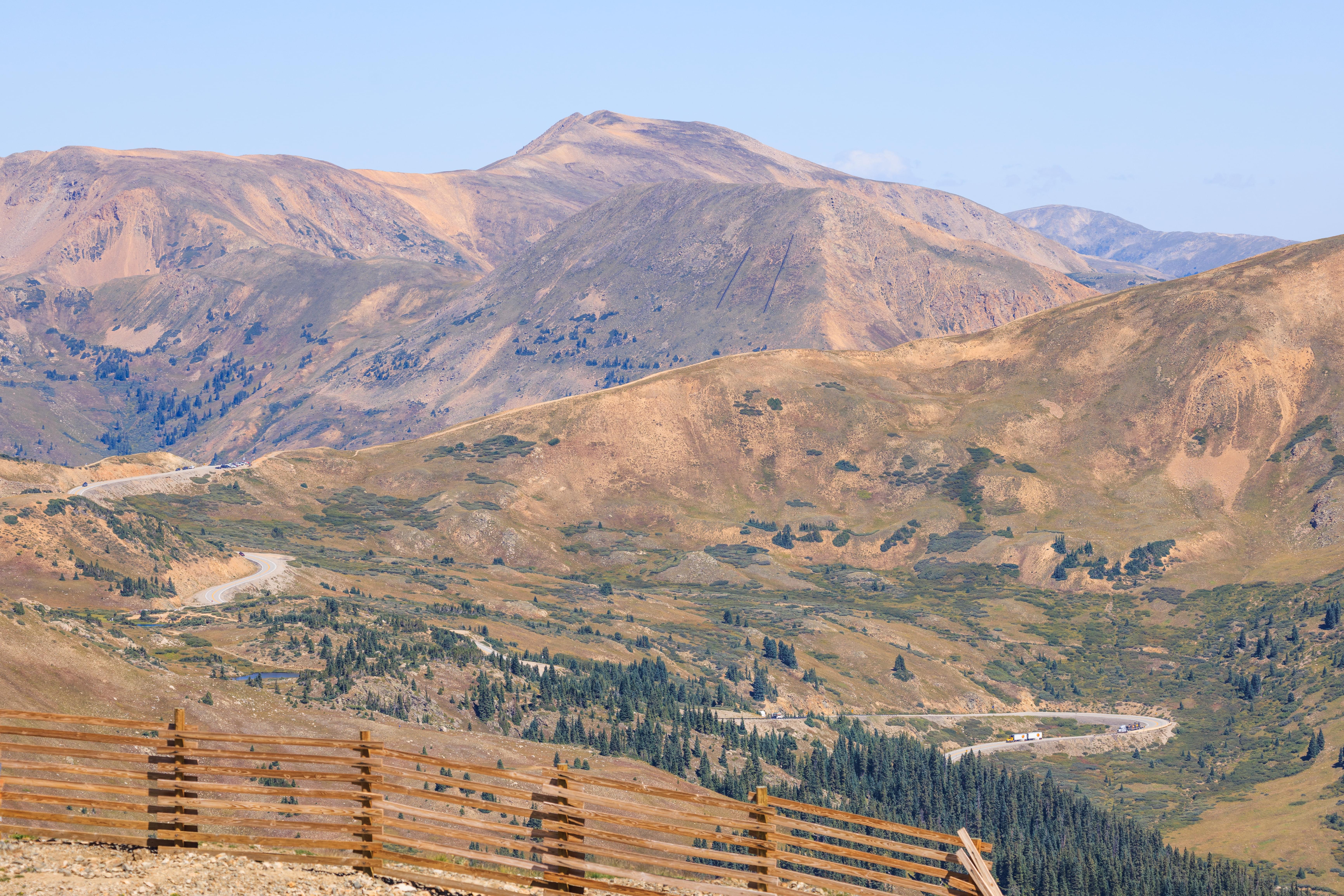
Also, a magnified view of the scene to the north with US Highway 6 winding upwards and Loveland Pass on the left.
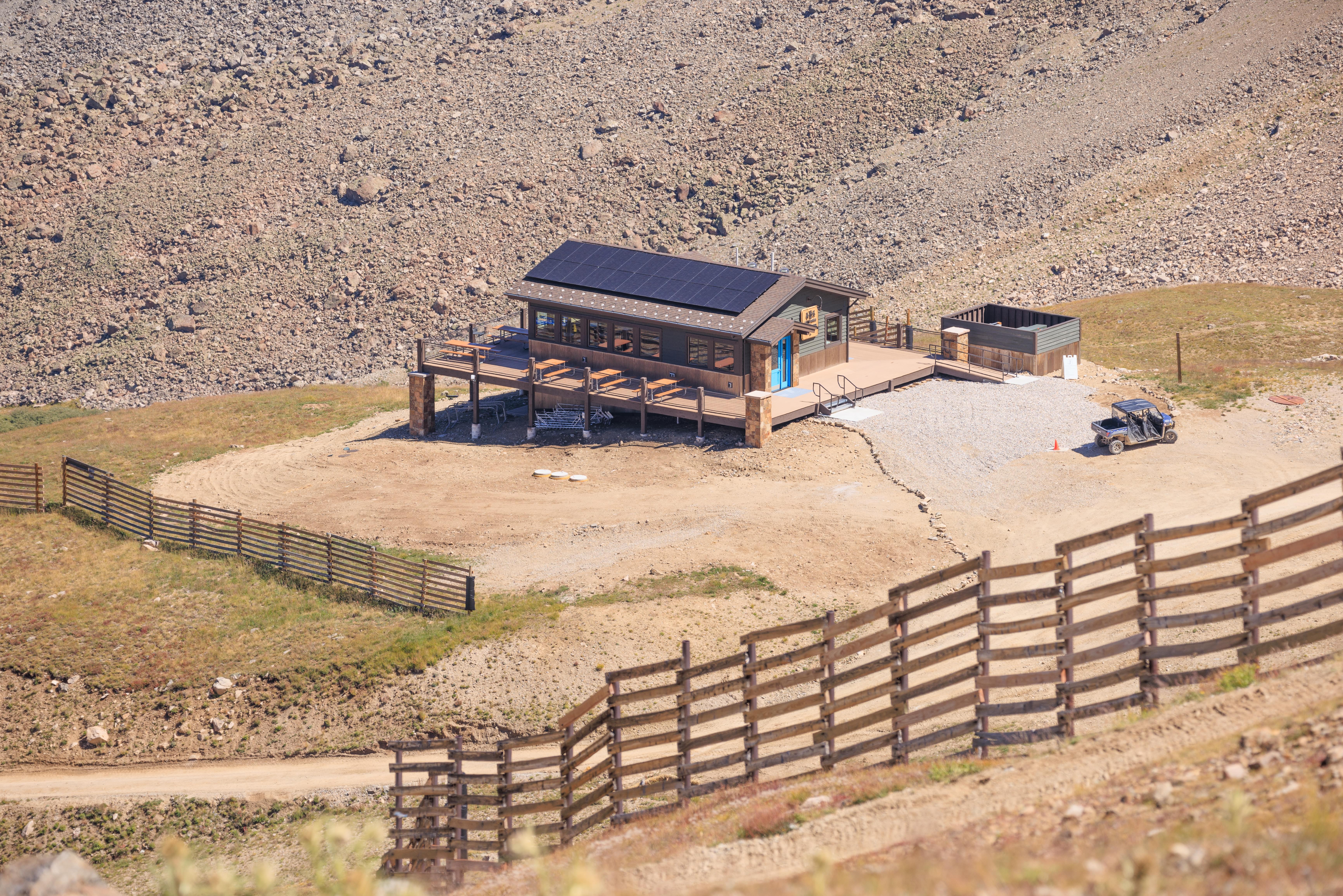
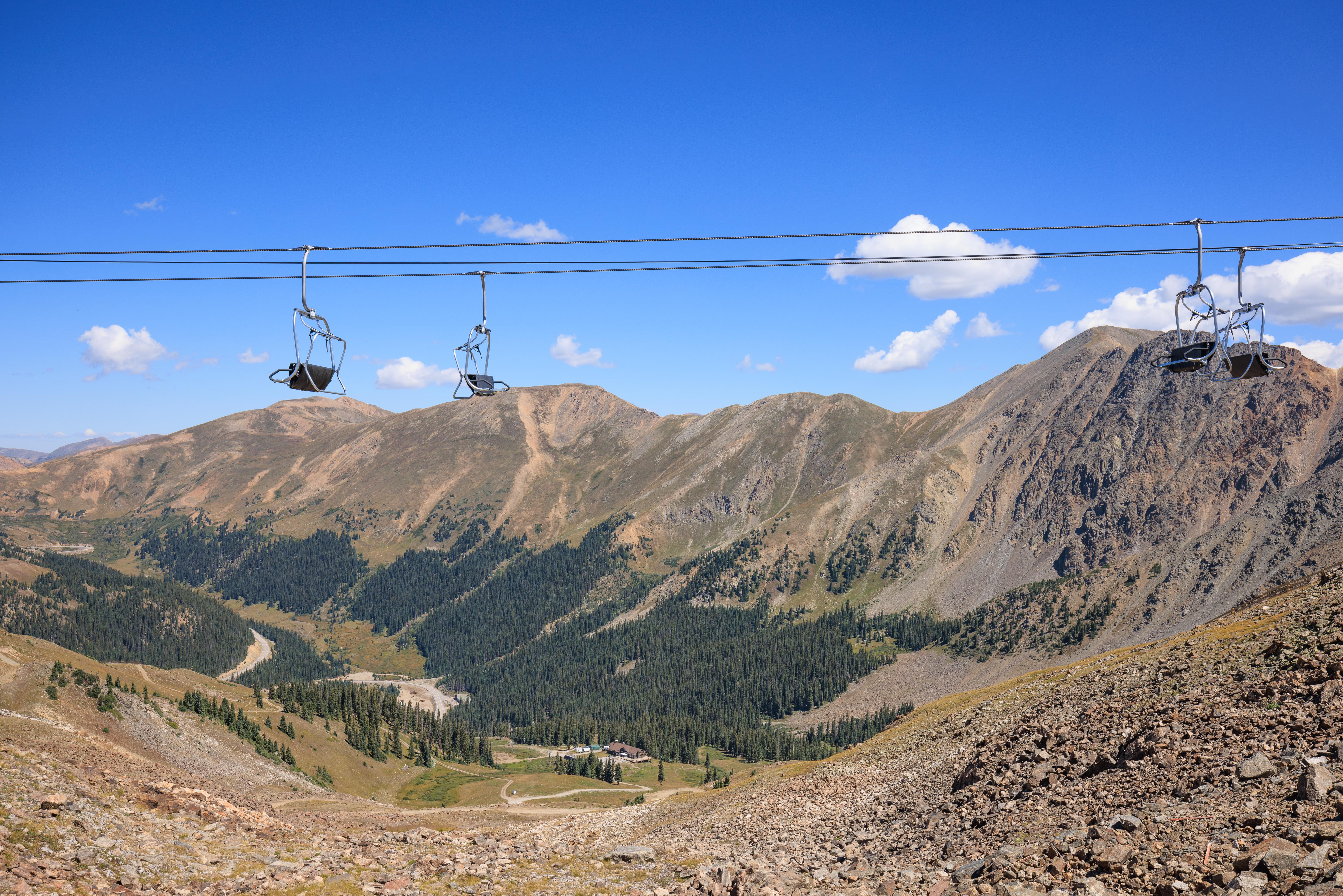
Looking down, a nice view of the Steilhang Hut with its solar panels mounted on top. There must be some way to keep them free of snow?
Also visible, the Black Mountain Lodge far below and a front end loader making its way back up the mountain.
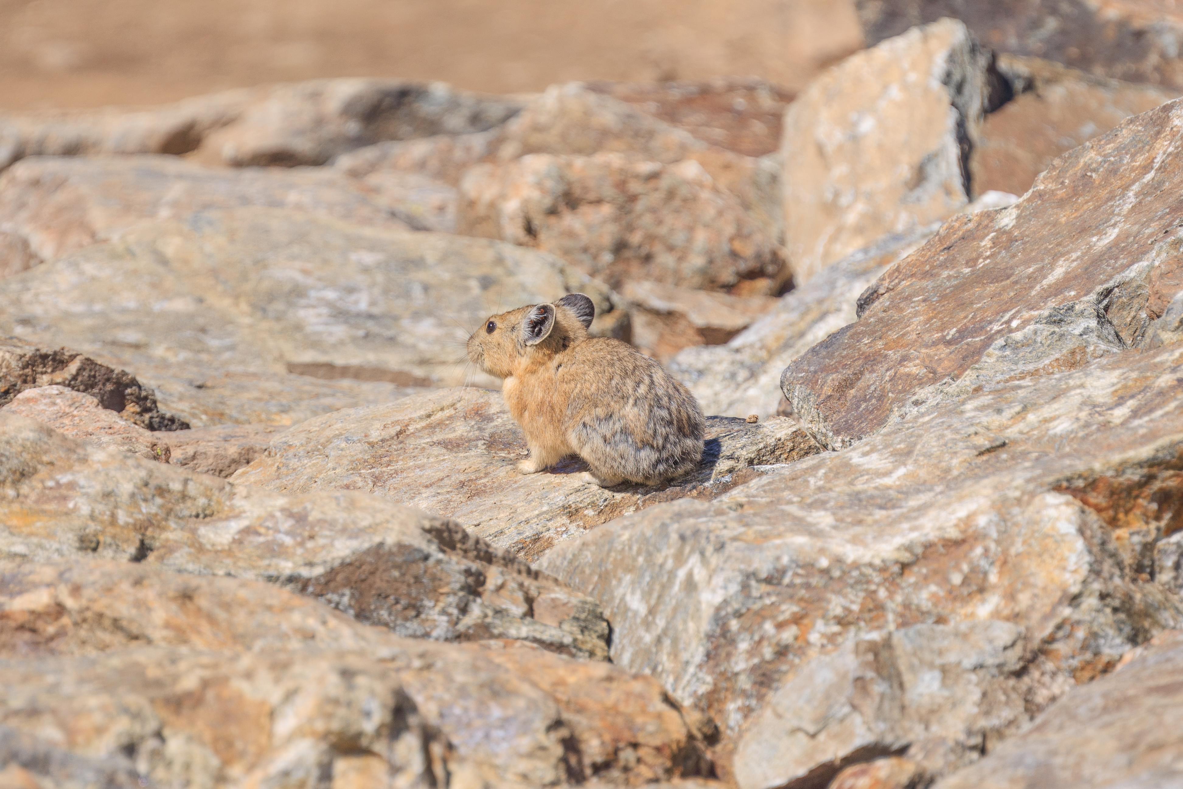
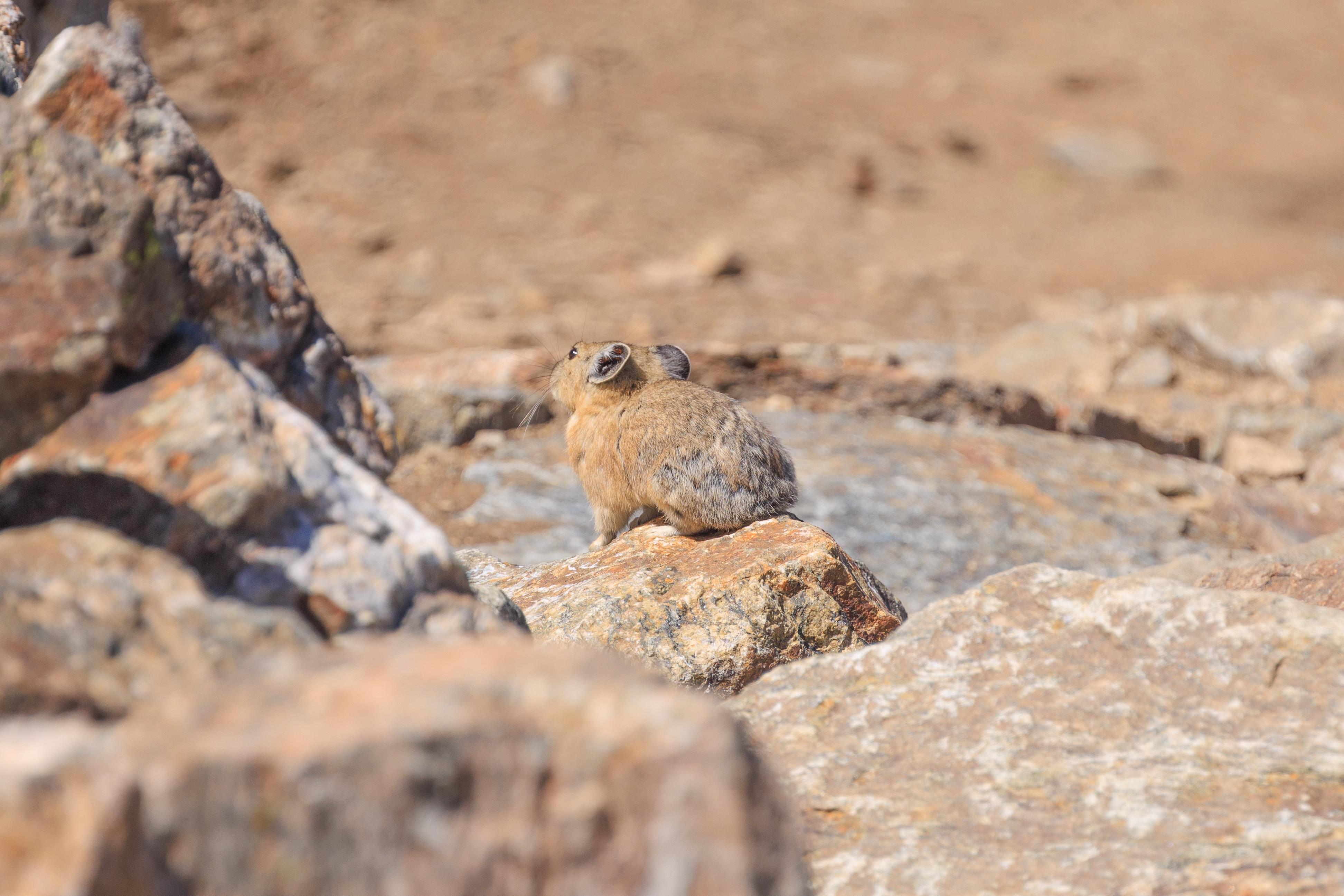
There are lots of critters on the mountain! Sometimes, we only hear them as we walk by or catch brief glimpses of them as they dart around the rocks. We managed to get a few photos of this Pika though!
We walked towards the Beavers area but it was closed due to construction of a mountain biking trail. But we did pass by this point that we’ve skied a few times in the winter with the Beavers lift passing above.
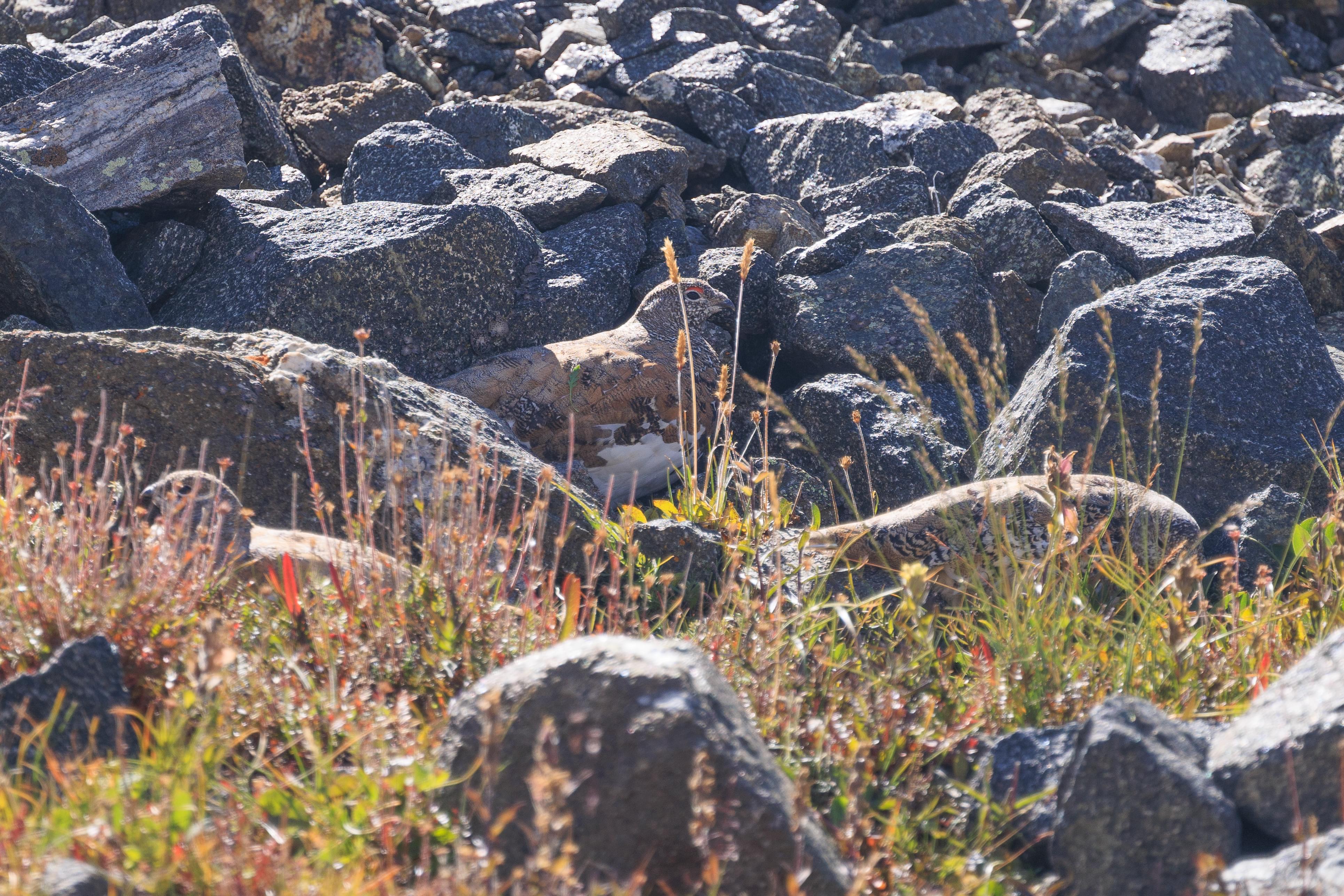
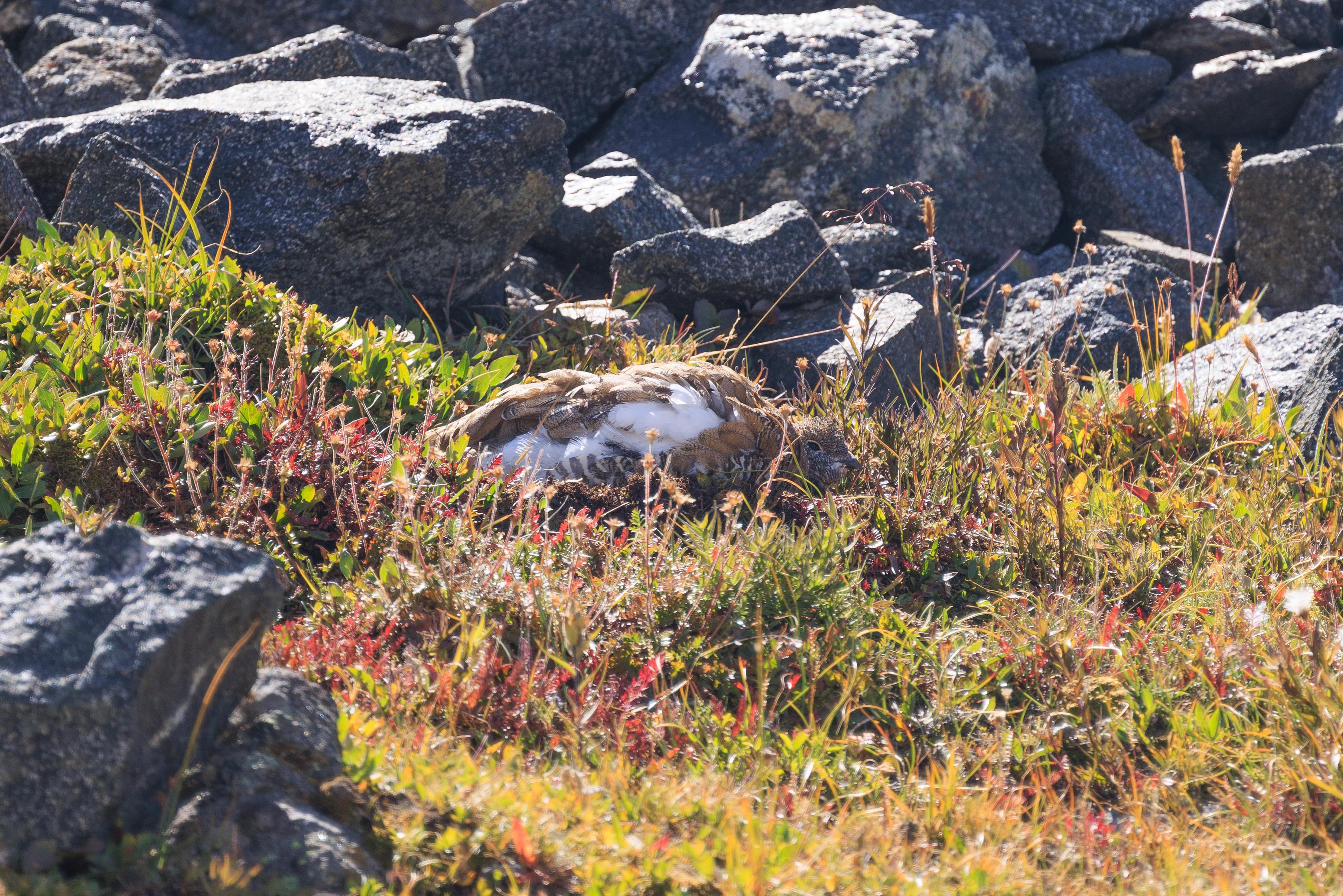

We stopped to take a break on some stones by the Snow Plume Refuge. It is closed for the summer though its bathrooms are open. We soon noticed some activity on the rocks above us. White-Tailed Ptarmigans! These interesting birds change to all white feathers in the winter to blend in with their surroundings. And indeed they do blend in quite well. Notice all three in the first photo?
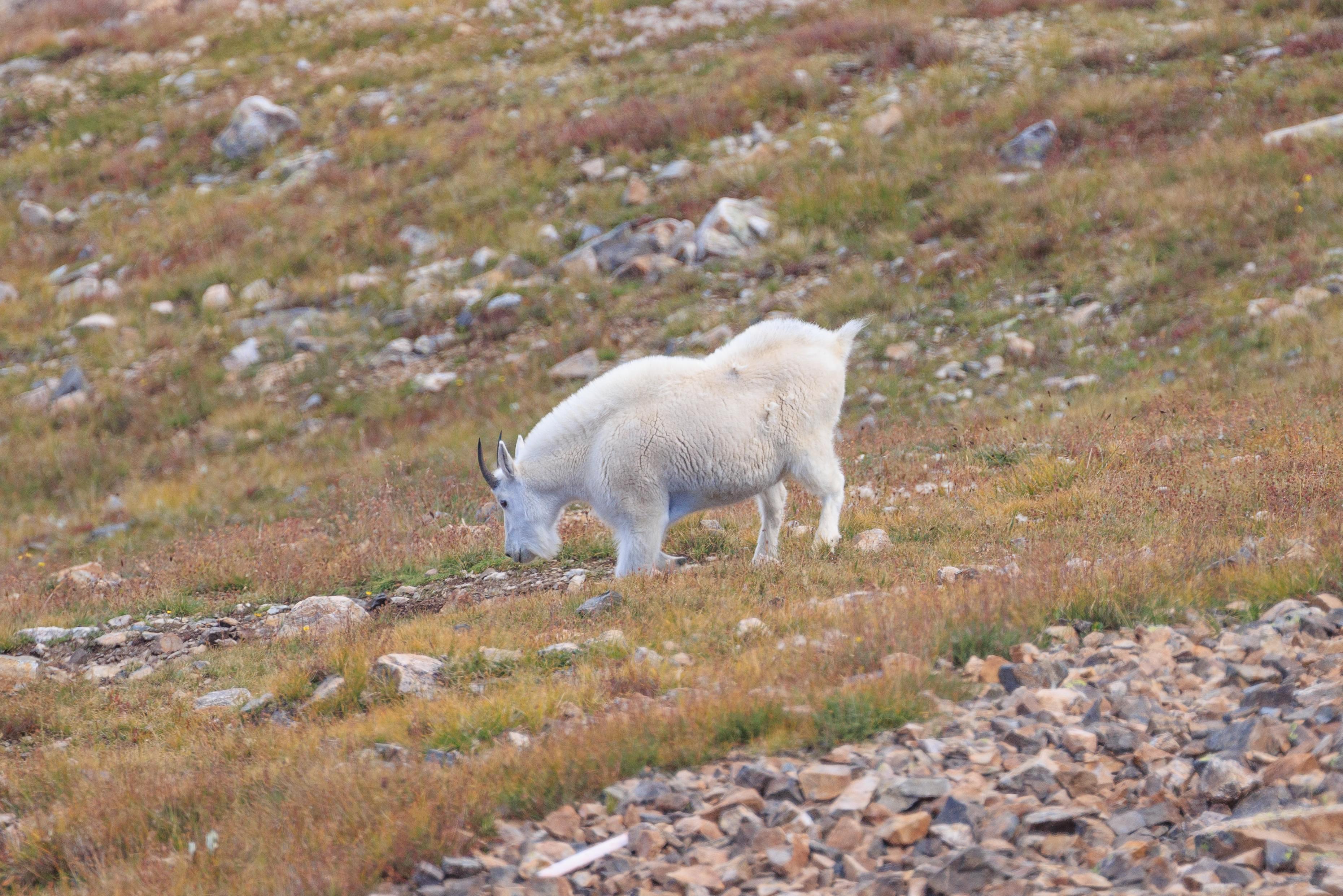
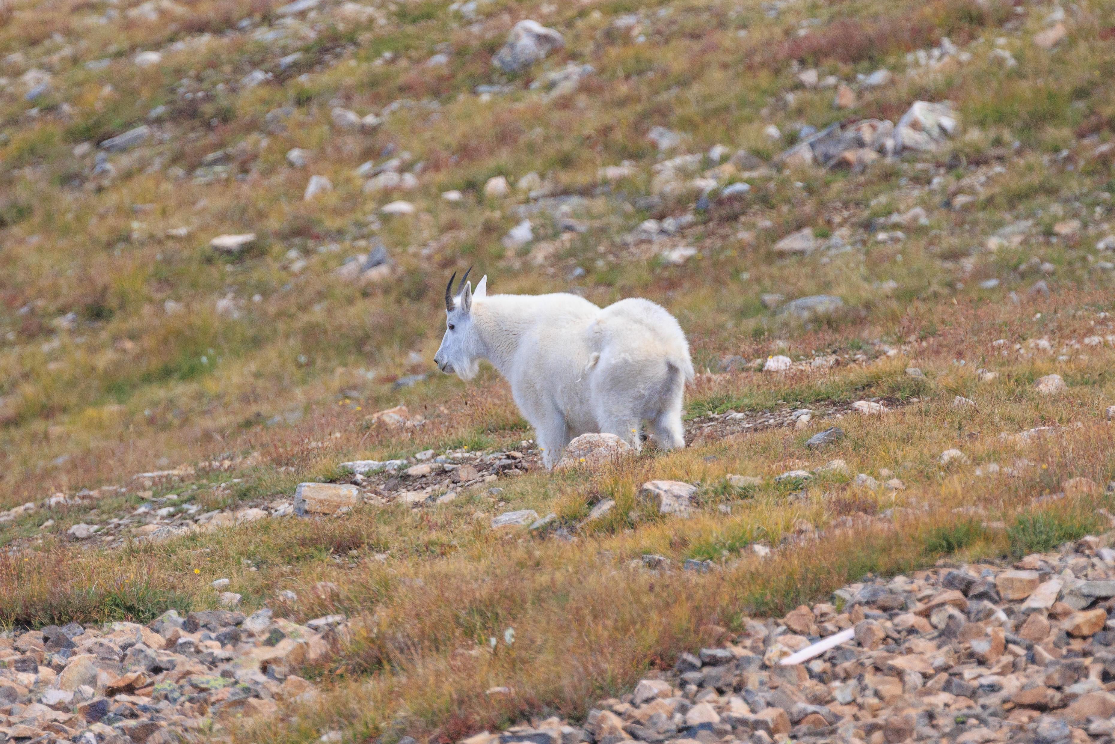
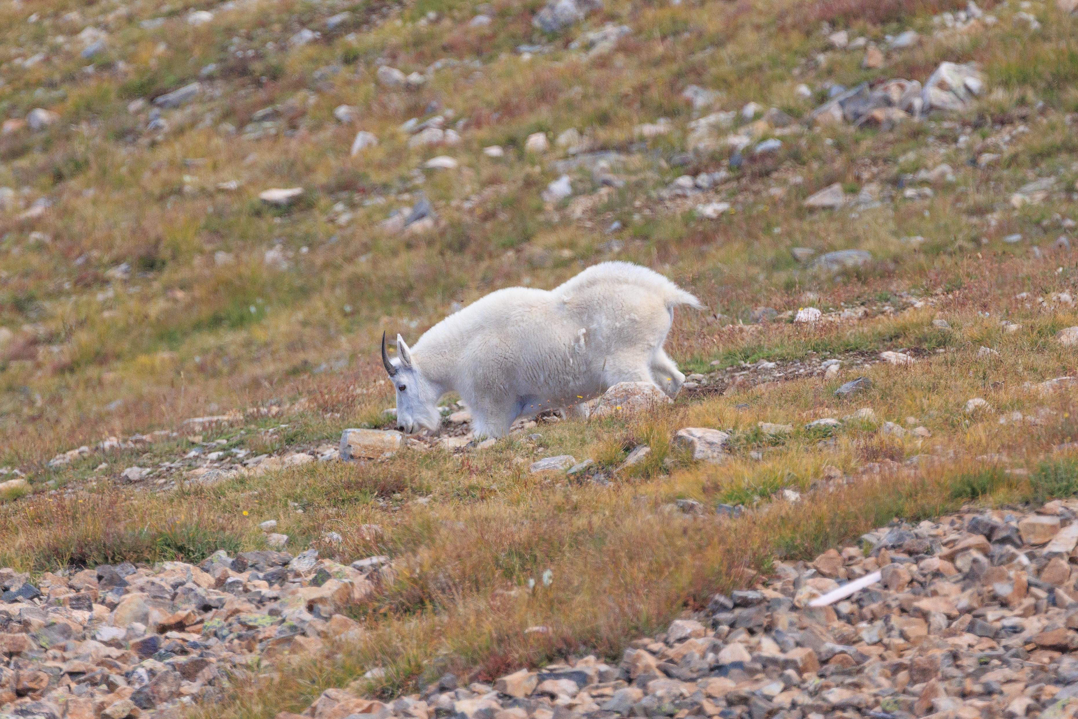
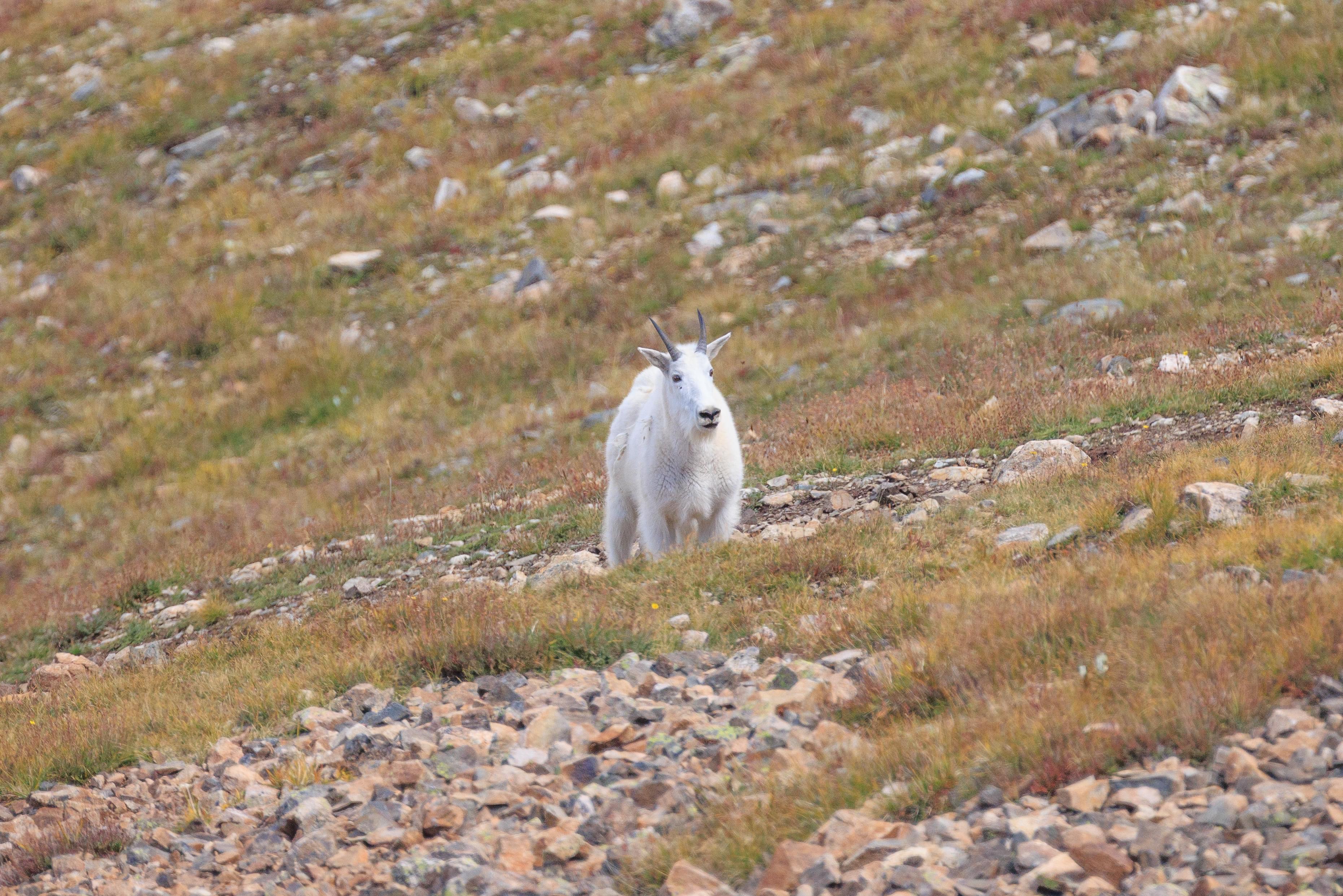
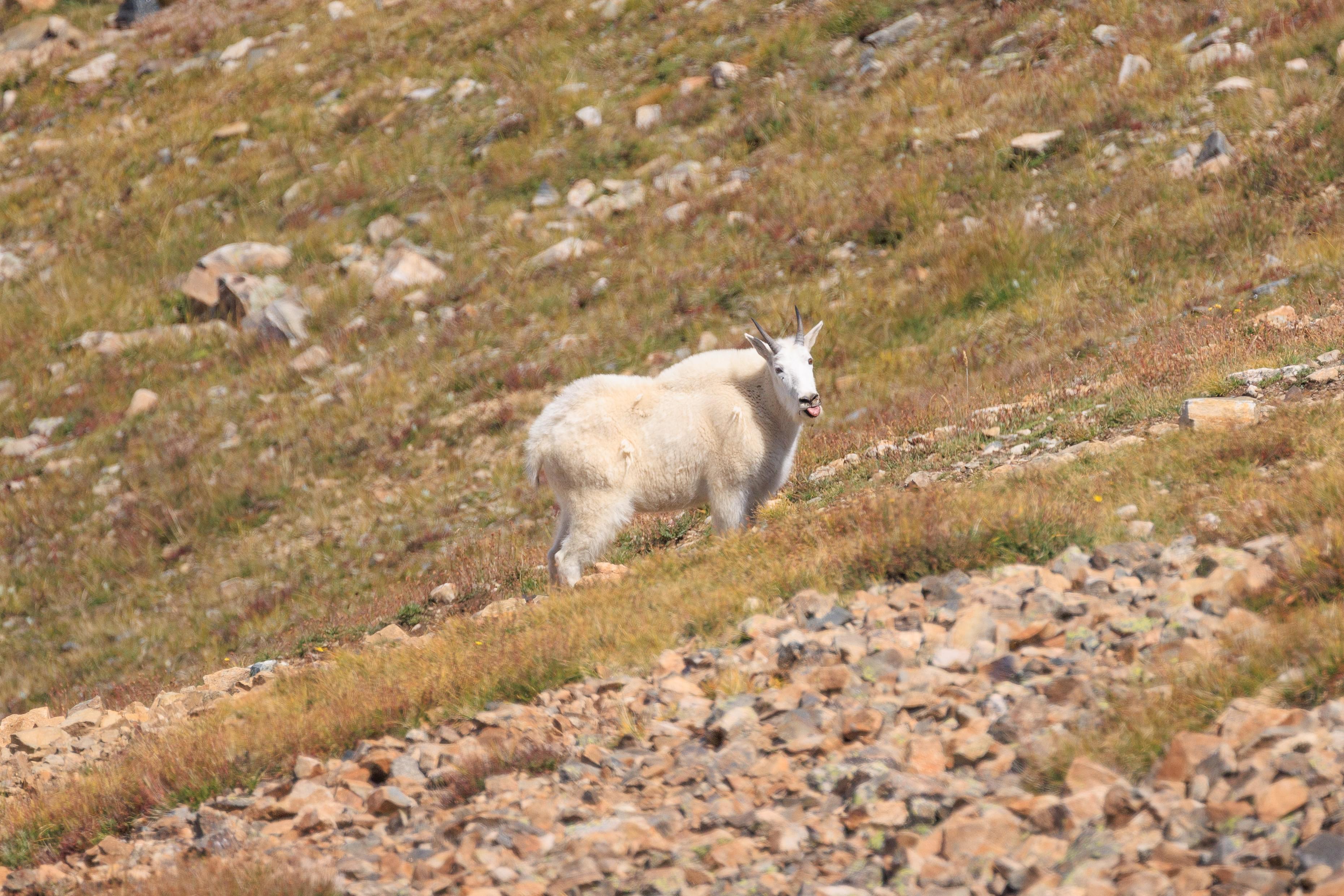
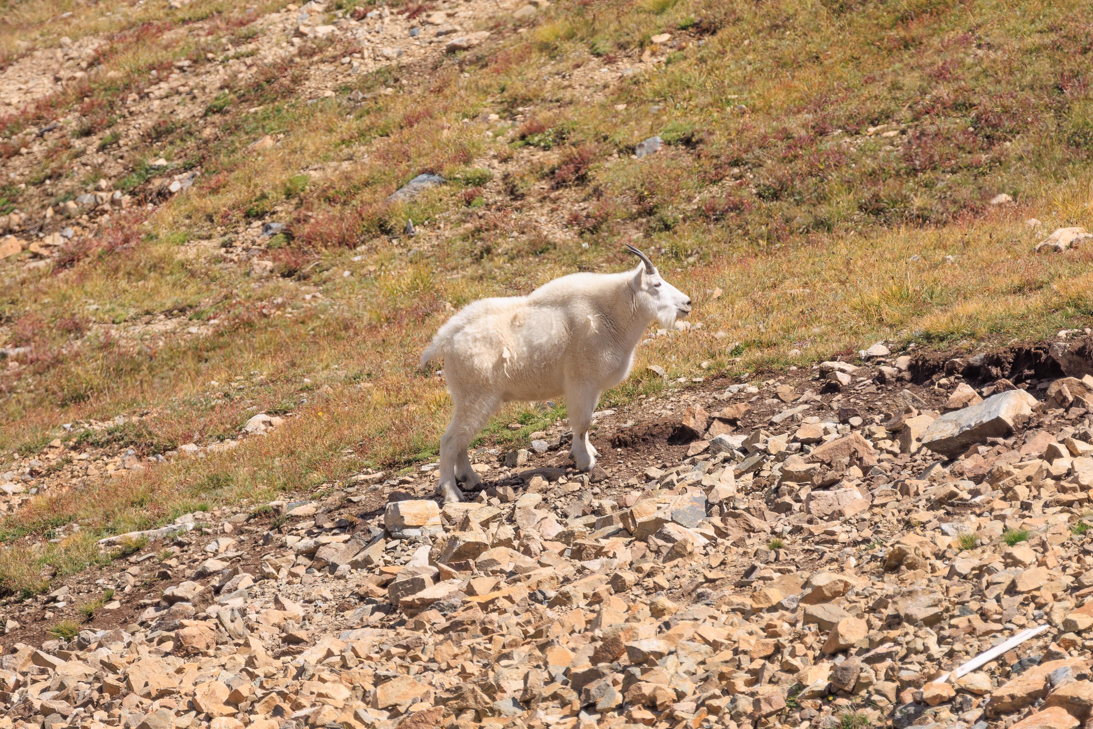
We also saw a mountain goat! It looked ready for winter!
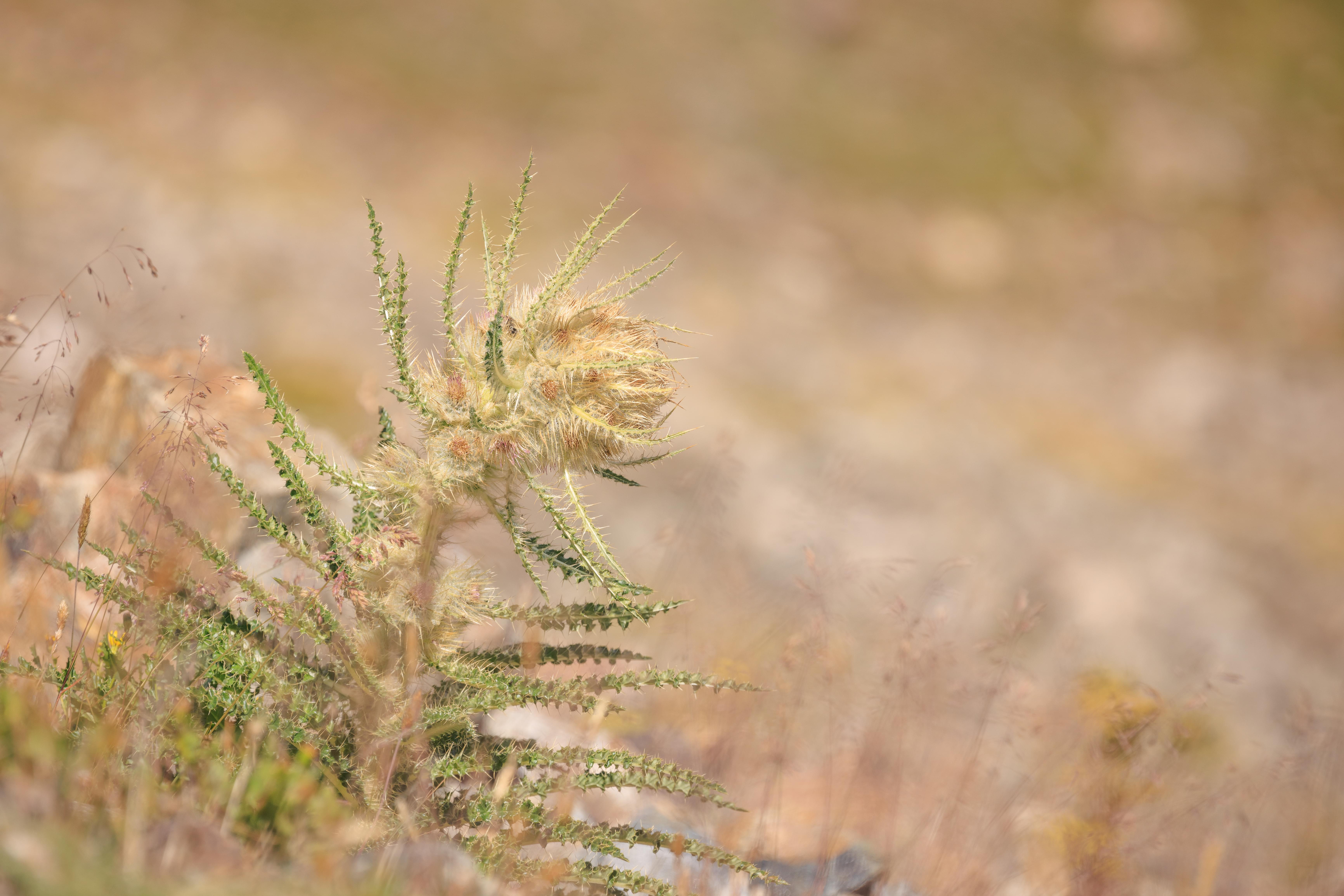
There were some interesting plants on the ground though we didn’t focus too much on them.
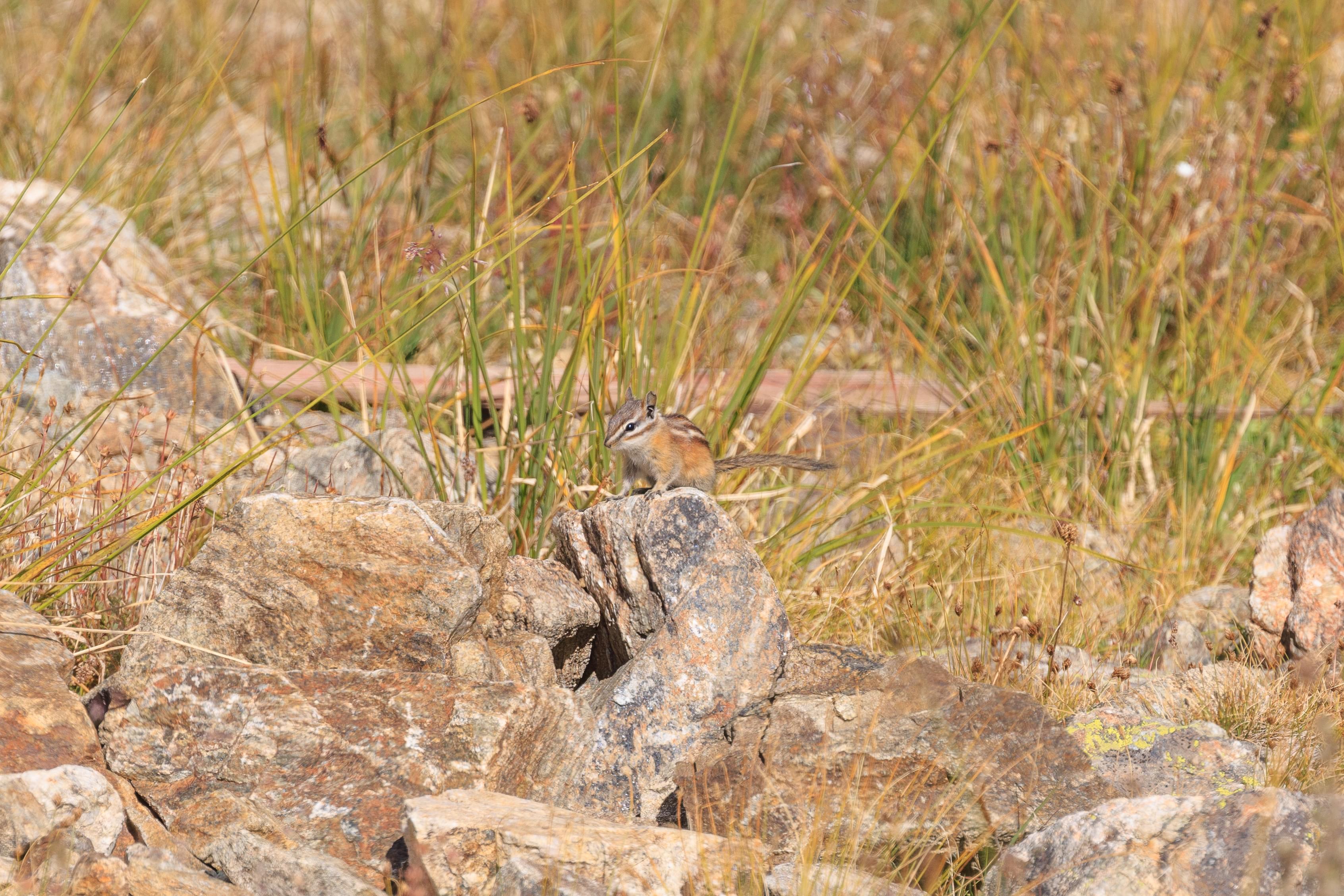
We were lucky to be able to move this fast-moving chipmunk! They scurry about rather quickly.
We soon started our descent. While the sky was perfectly clear for most of our hike, the clouds started gathering as we were headed down. The clouds as well as the position of the sun made it easier to photograph towards the east where the sun was when we started the day.
One alternative route for the last half mile or so to the Black Mountain Lodge is on this trail which is currently closed due to lift construction activities.
This view is hard to photograph in the morning due to the position of the sun. Its quite nice in the afternoon though!
Almost back to the Black Mountain Lodge!
We let one final front end loader pass before we reached the end of our hike.
Black Mountain Lodge
We stopped briefly at the Black Mountain Lodge to visit the bathroom and to rest a bit.
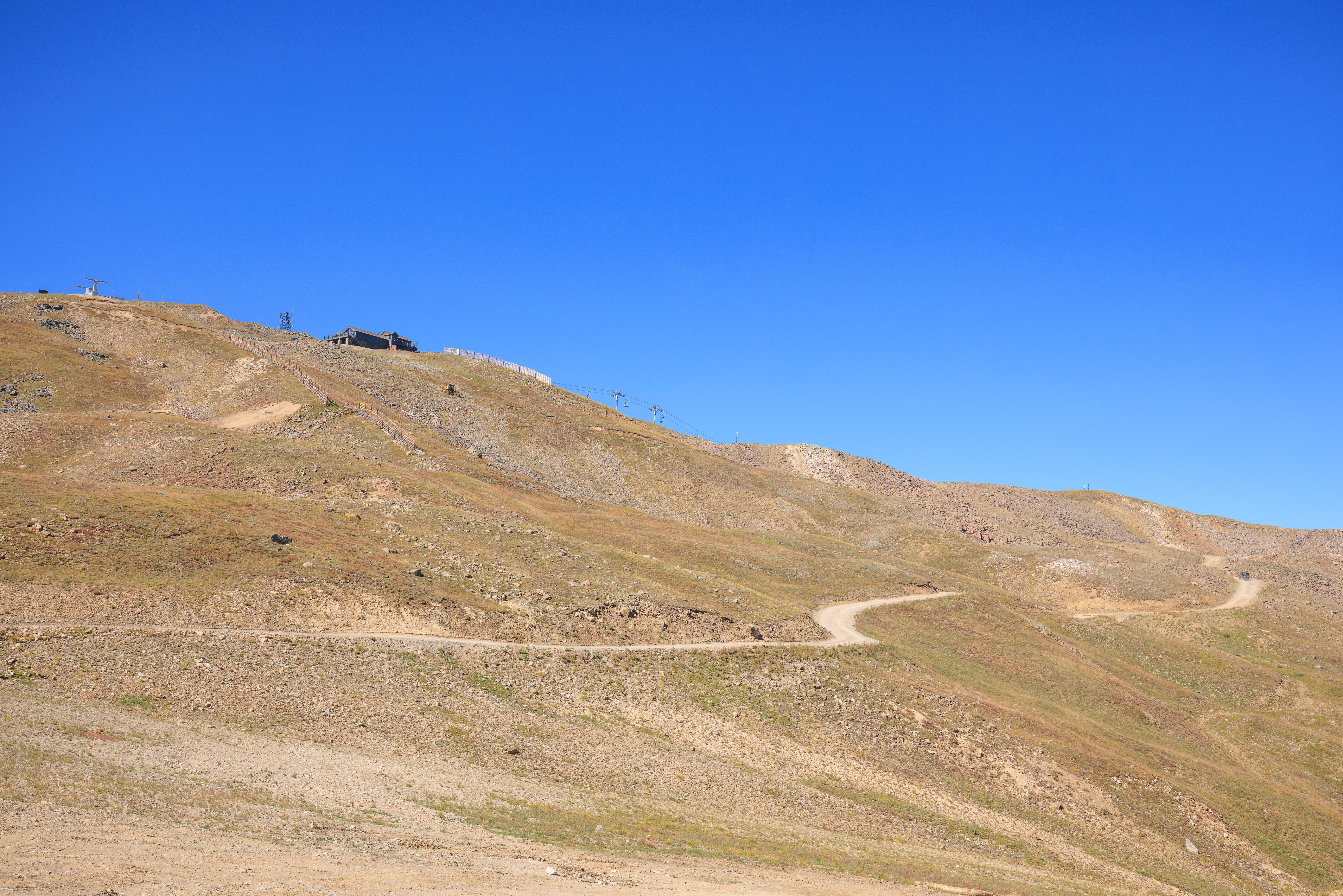
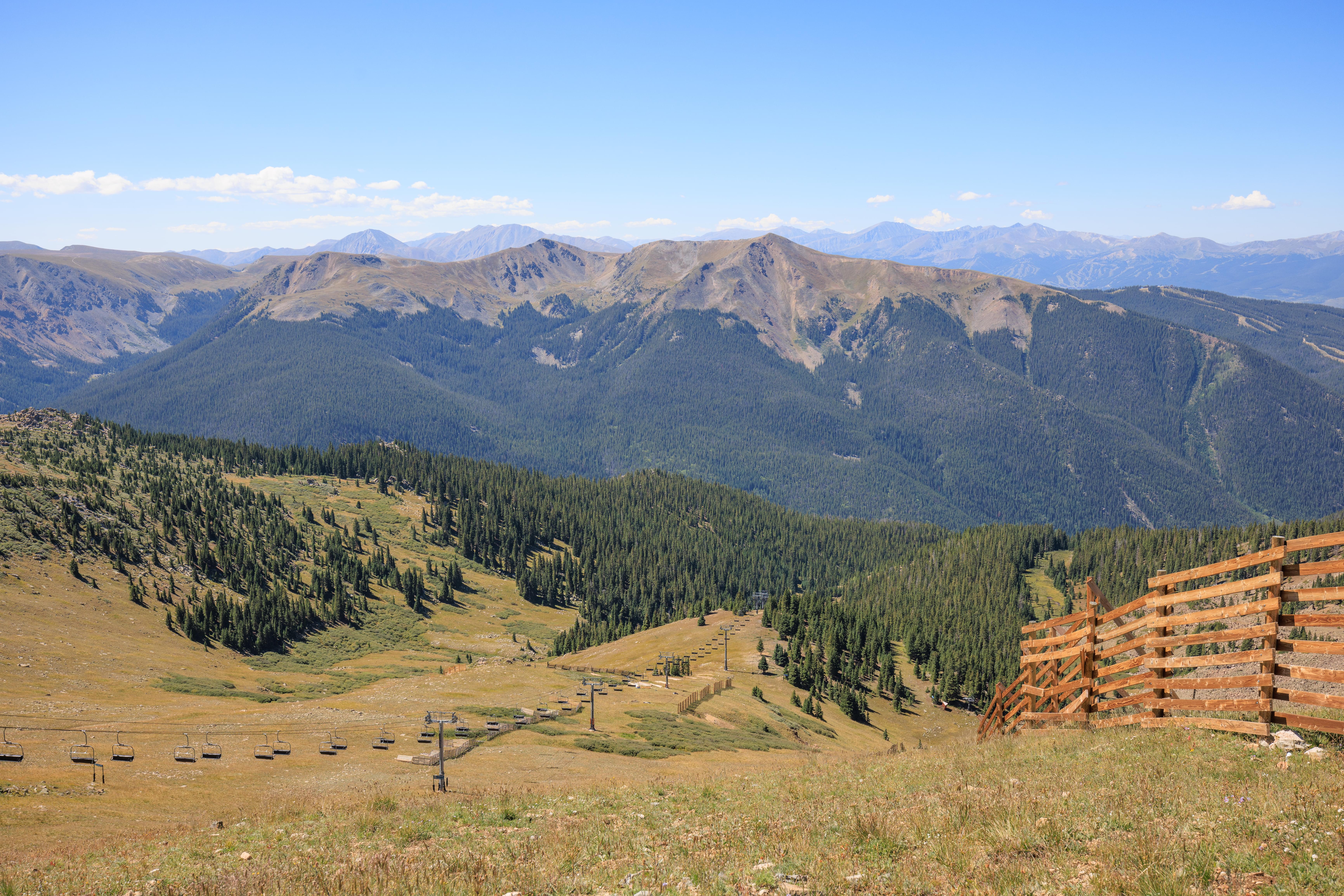
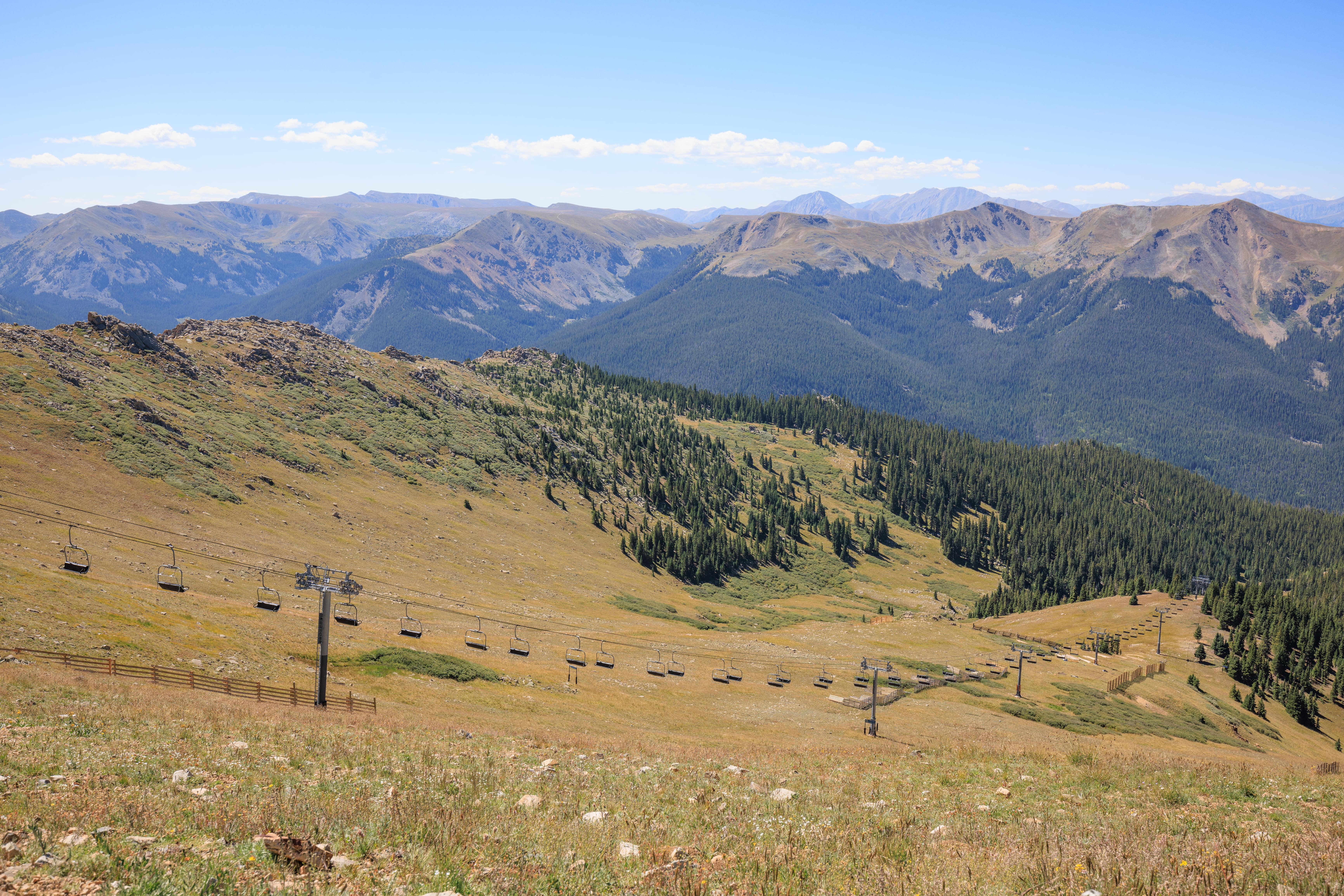
We walked onto the lodge’s large deck to enjoy the view. Once again, the Snow Plume Refuge at the top looks so small and so far away!
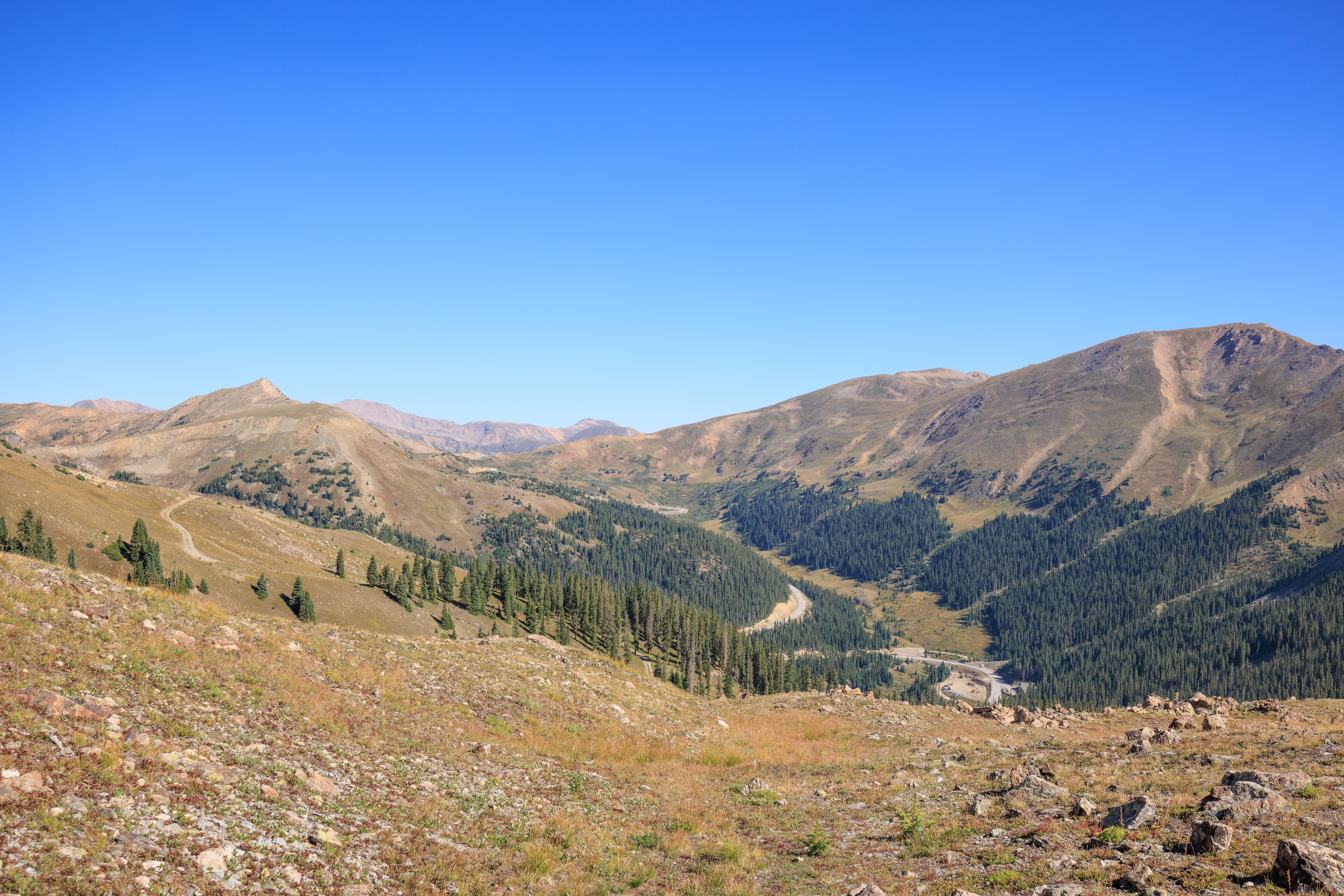
We also looked back at the initial portion of the road that we just hiked down. It is steep, though it isn’t really that apparent in this photo.
Black Mountain Express – Down
We didn’t spend too long at the Black Mountain Lodge. We headed back down the Black Mountain Express to get lunch at the 6th Alley and to shop a bit in the store.
US Highway 6
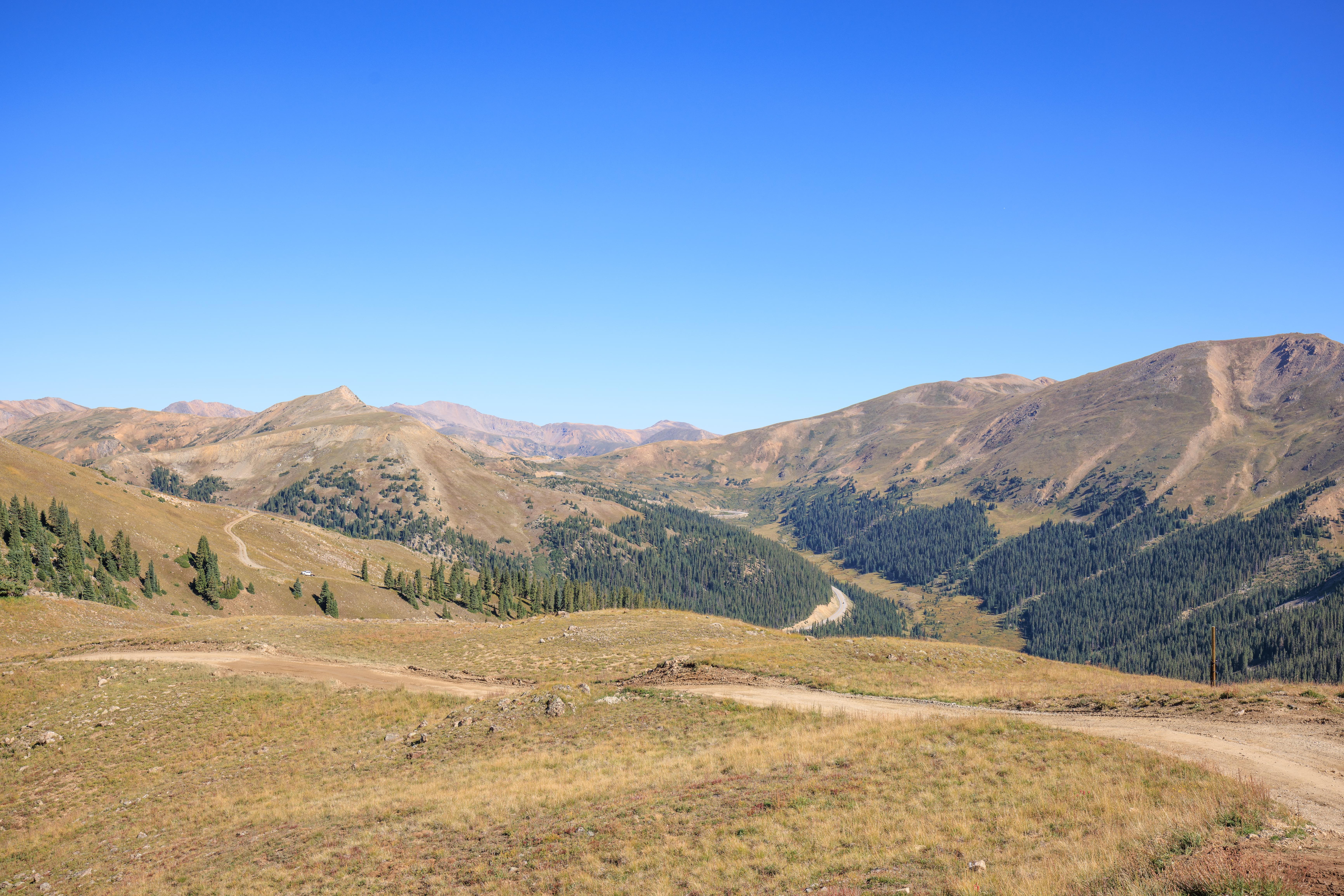
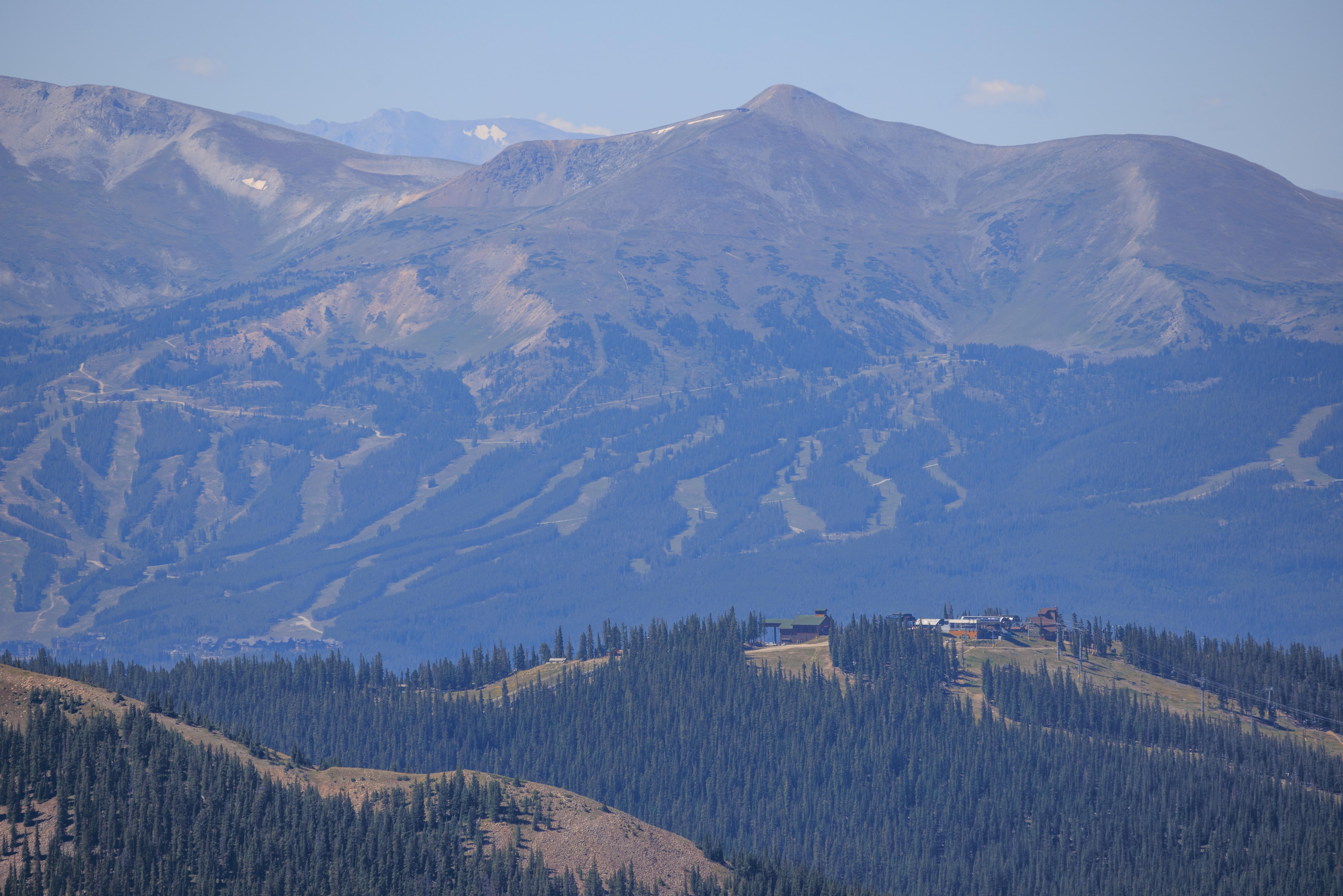
After leaving Arapahoe Basin, we headed out on US Highway 6 towards Loveland Pass. Just after the first tight curve, there is a large gravel lot that offers fabulous views of Arapahoe Basin. The Steilhang Hut is visible near the center as just a tiny structure. The higher points that we visited today are blocked by terrain.
Loveland Pass
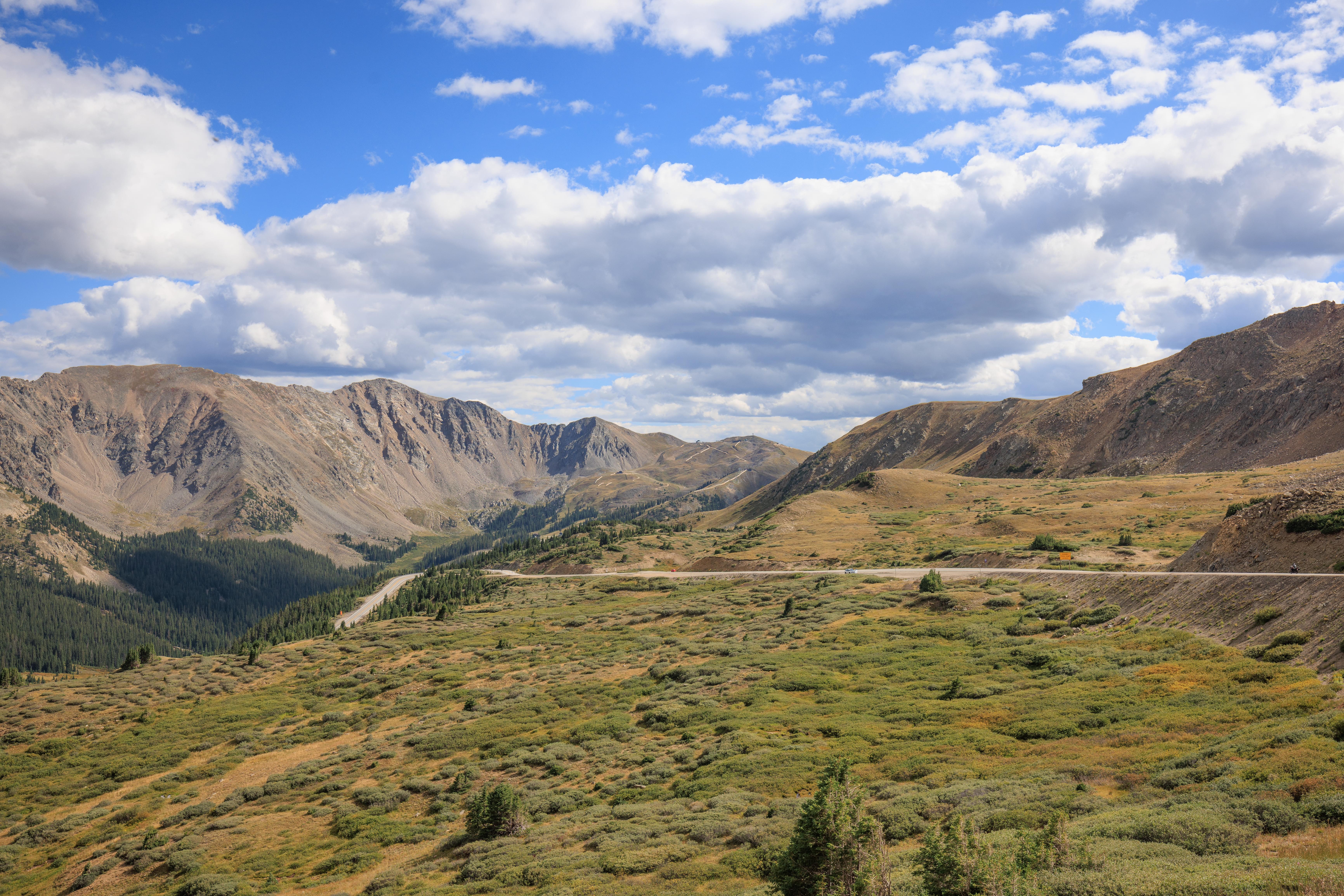
While there are quite a bit of places to hike at Loveland Pass, we didn’t stick around for long. Here, looking back towards Arapahoe Basin, much of what we hiked is within view.
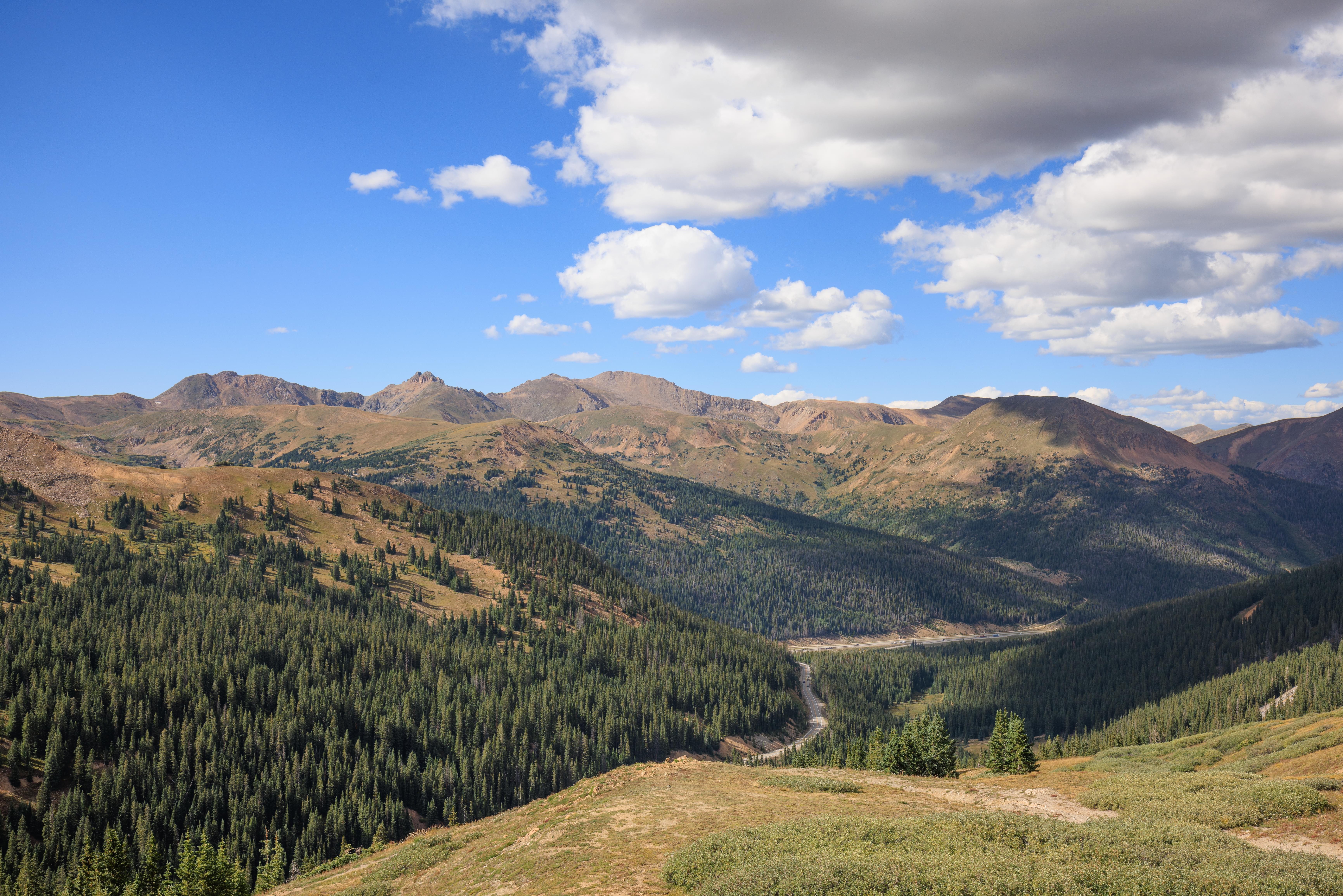
We also took a look on the other side of Loveland Pass, down towards I-70.
Gallery: https://gallery.thesun.arfycat.com/Galleries/USA/Colorado/Rocky-Mountains-2022-08/Arapahoe-Basin