

We only had a few hours this morning before needing to return to Rapid City to catch our flight. We decided to check out the remote southwestern corner of Badlands National Park. There isn’t really anything developed in this region, just a few roads, farms, and wilderness.
Red Shirt Table Overlook
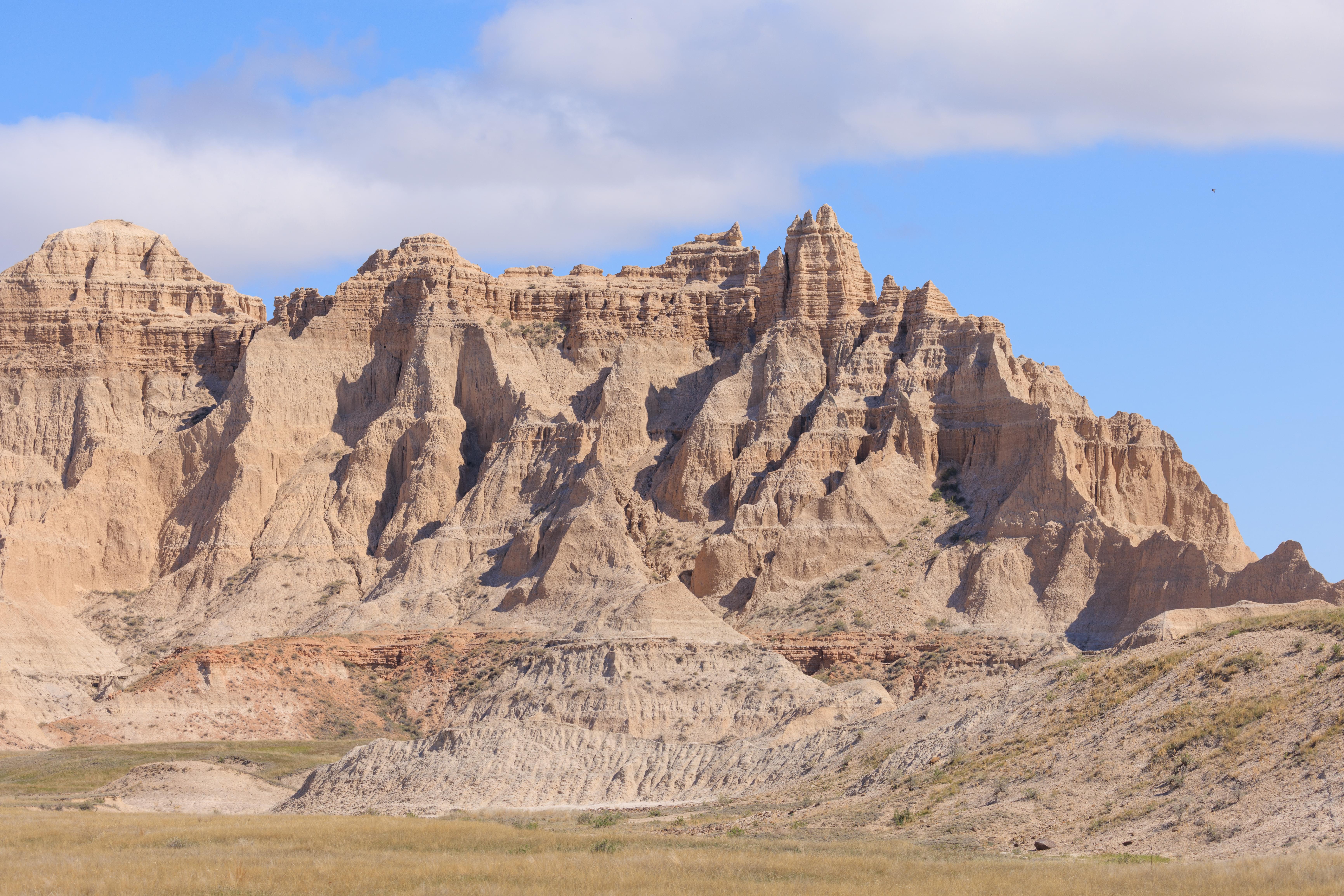
Red Shirt Table Overlook is the only place marked on the park service map in this area of Badlands National Park. It is just a little barely paved turnout on a small two lane highway. There is a rough trail that runs steeply down to the edge of the badlands. The scenery here is fantastic! An extremely dense jungle of formations!
We even saw what is likely a coyote, though only briefly. It was moving away from us on one of the formations near the edge. It was a bit surprising it could navigate in such terrain. Unfortunately, the encounter was for less than a second and photography was not possible.
The scenery often looks quite different when viewed from a telephoto lens like in this photograph.

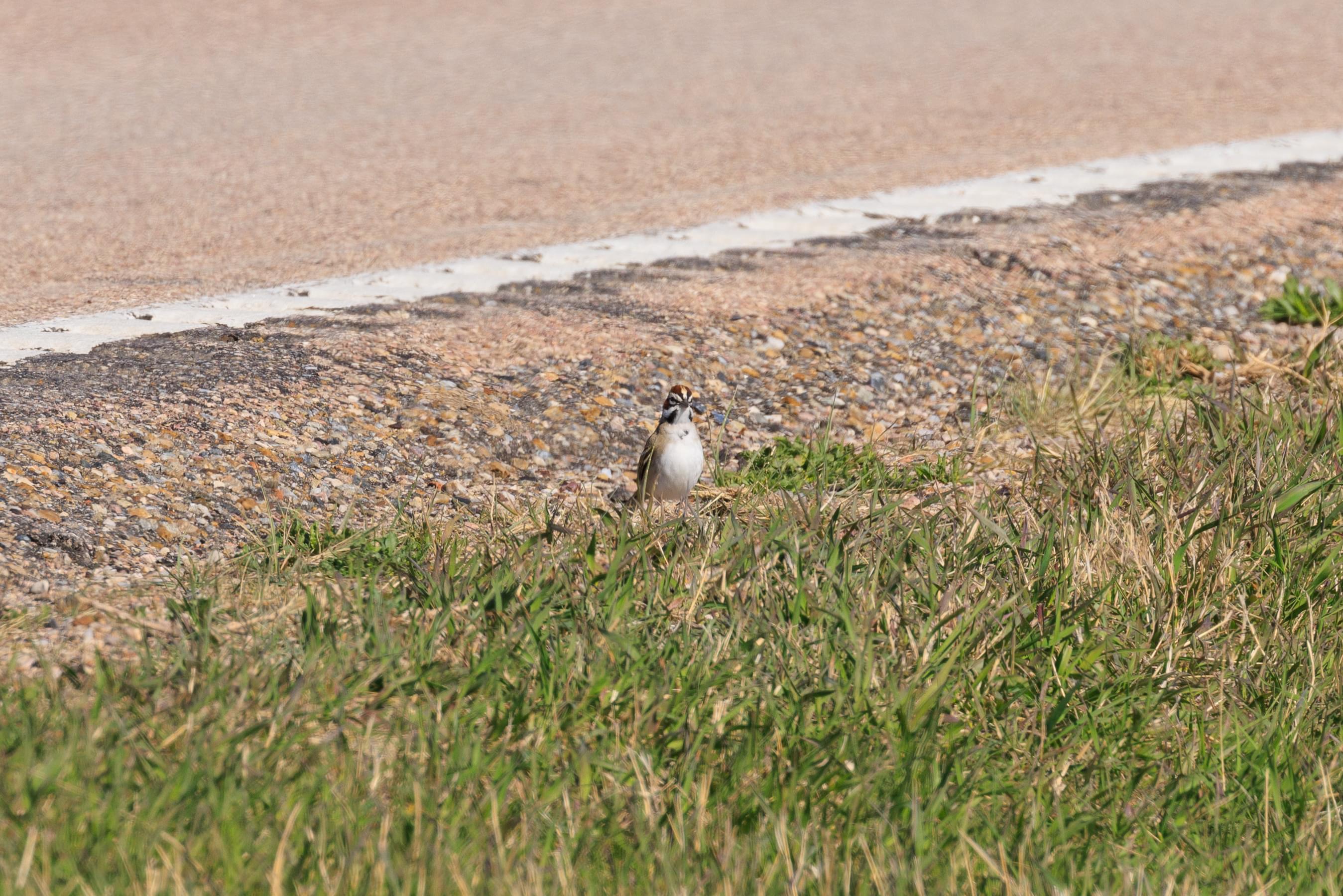
A new bird species for us! We saw Lark Sparrows by the side of the road as we were getting ready to drive away!
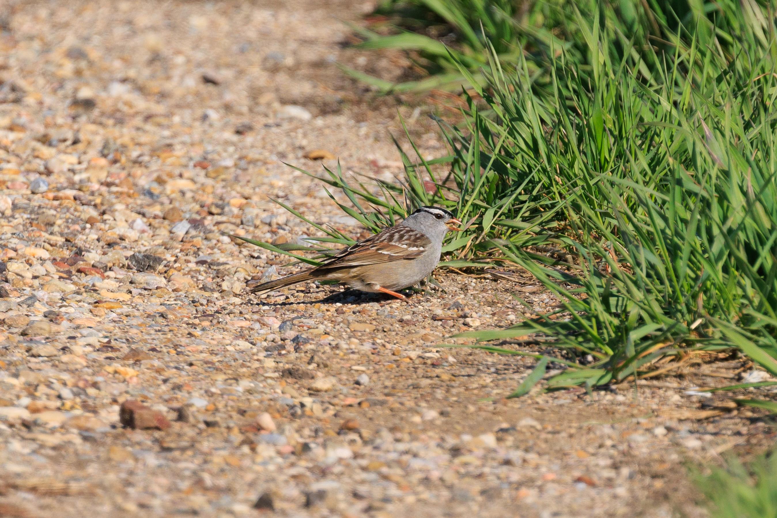
And then another species arrived! A White-Crowned Sparrow!
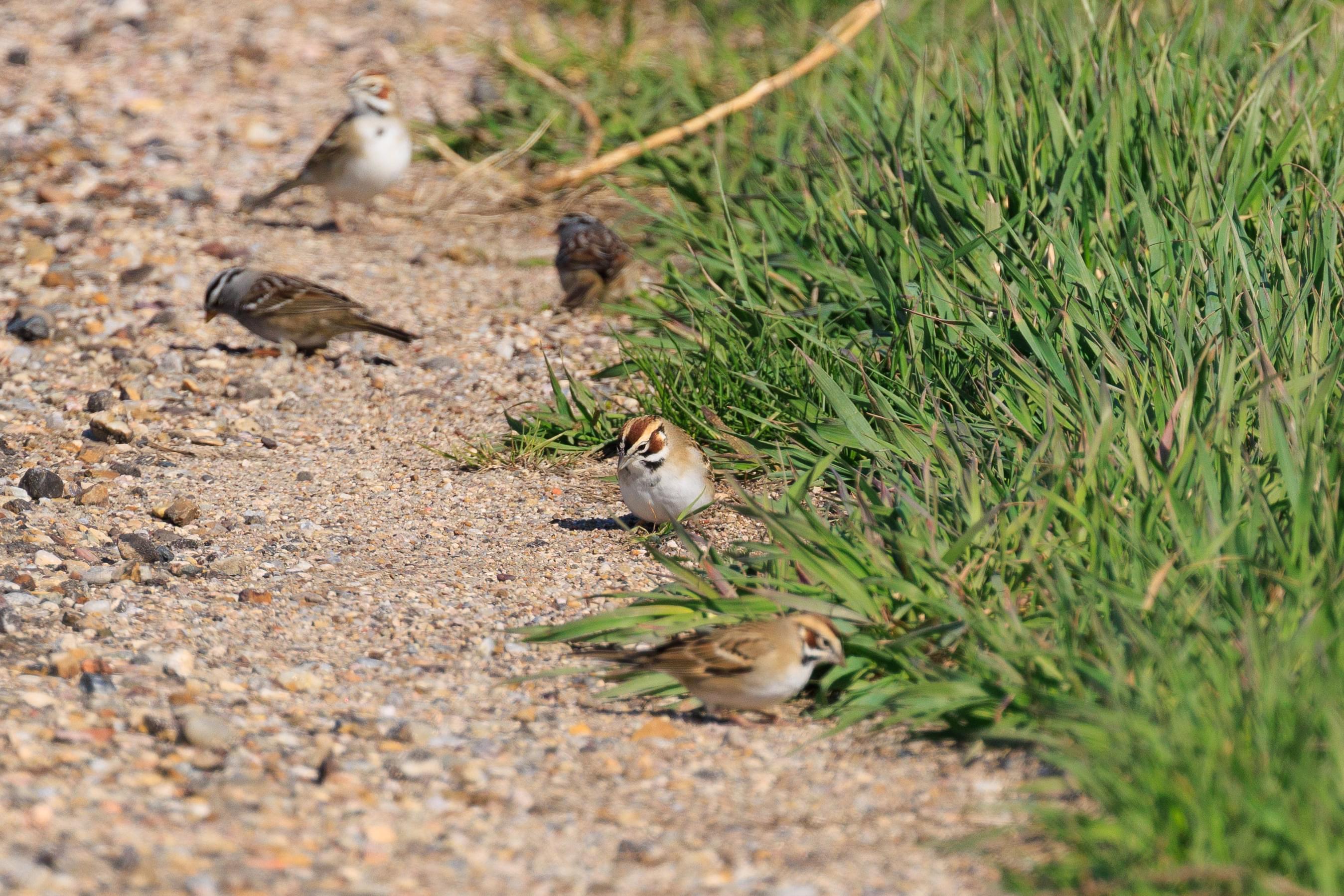
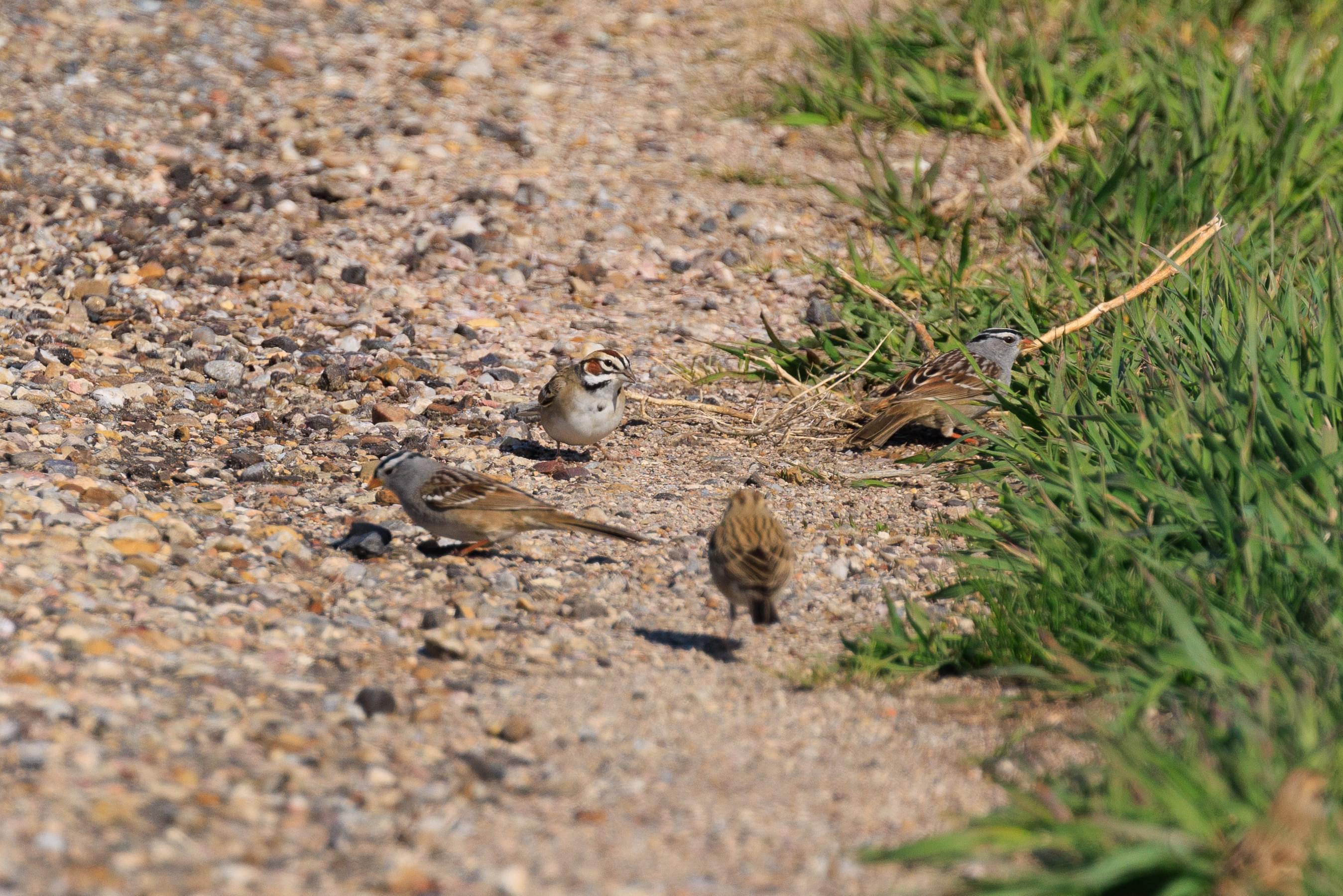
The two species mingled together as they were foraging for seeds.
Bureau of Indian Affairs Route 2
After leaving the Red Shirt Table Overlook, we headed south and turned onto BIA Route 2. This paved two lane highway runs east, sometimes at the edge of Badlands National Park.
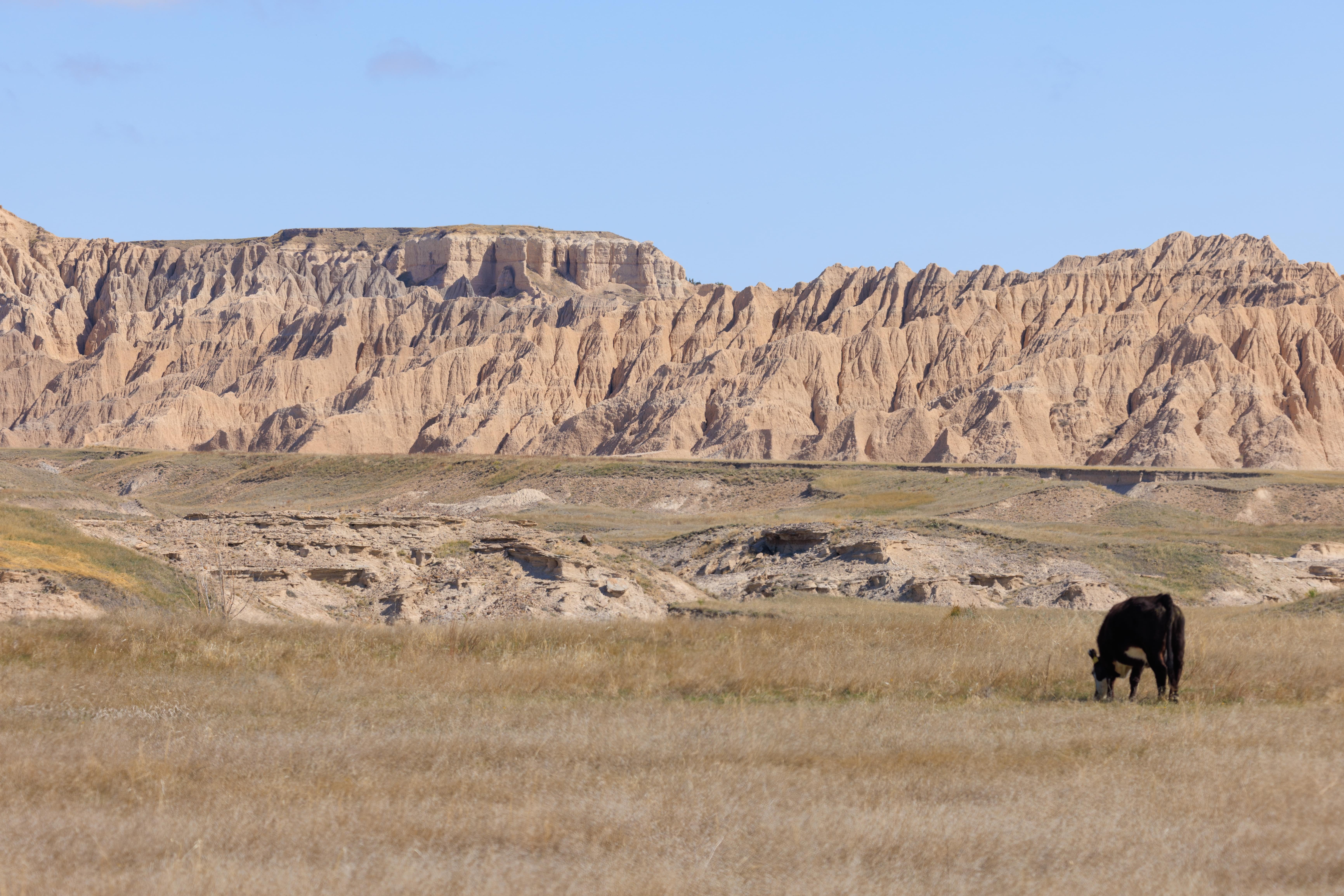
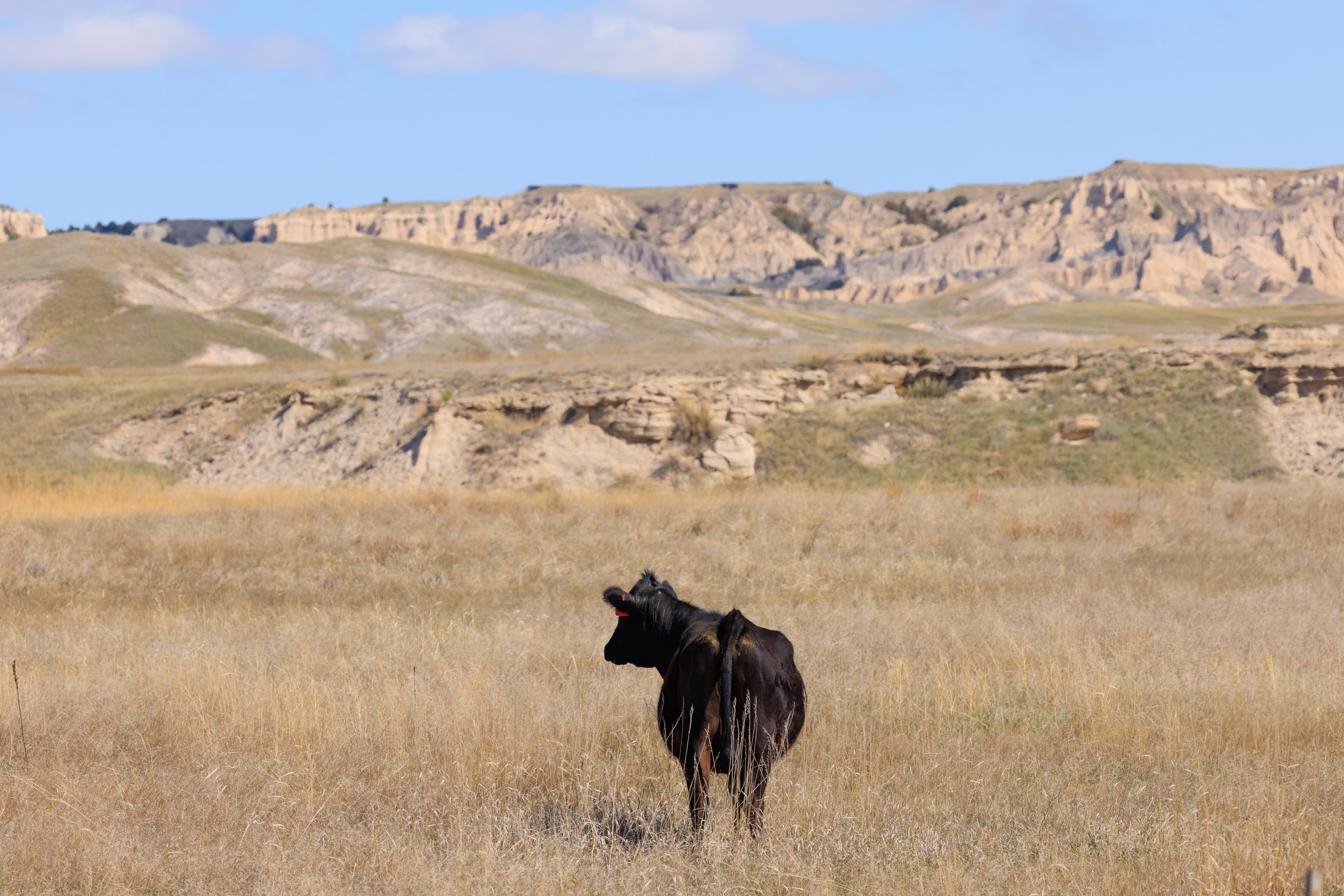
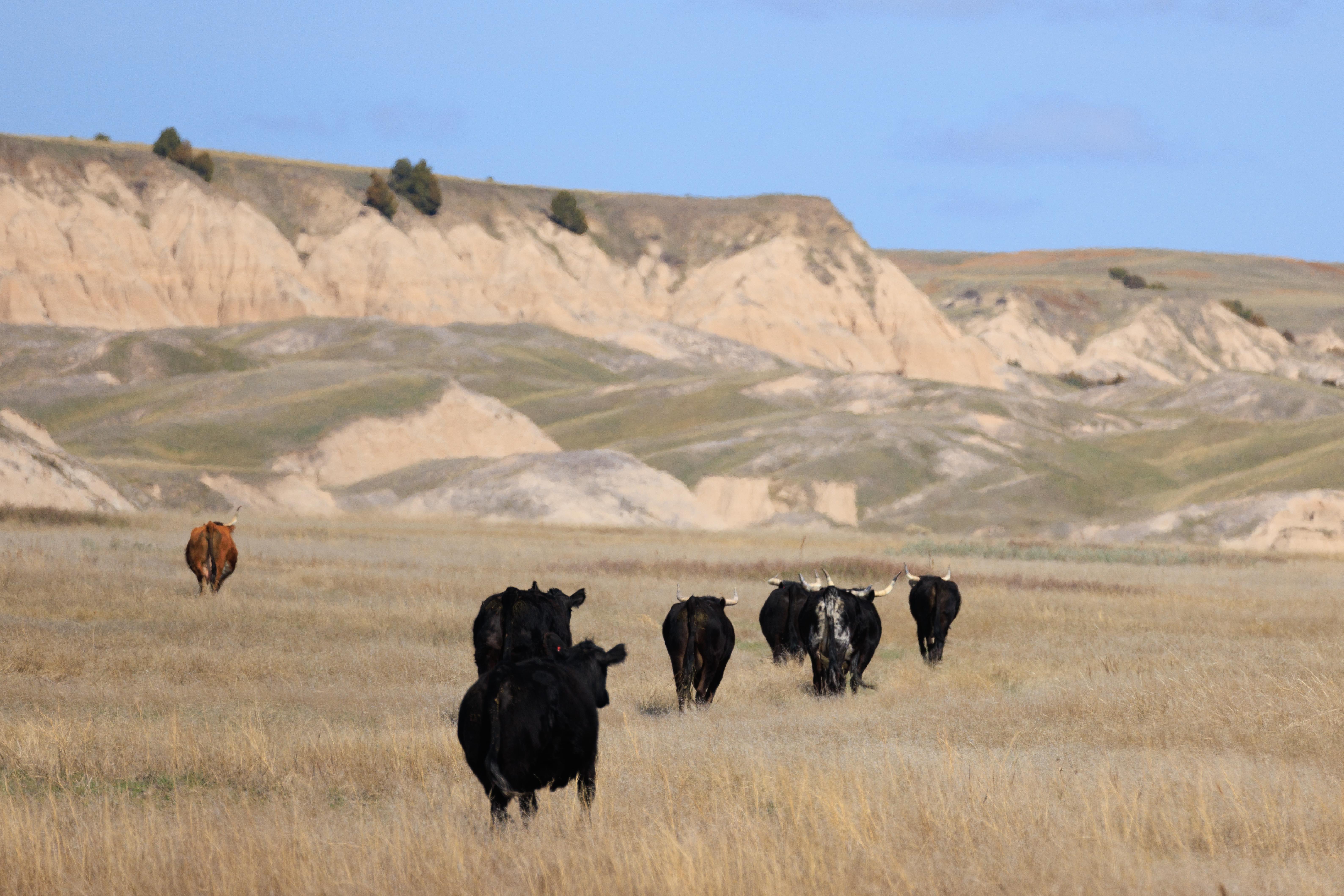
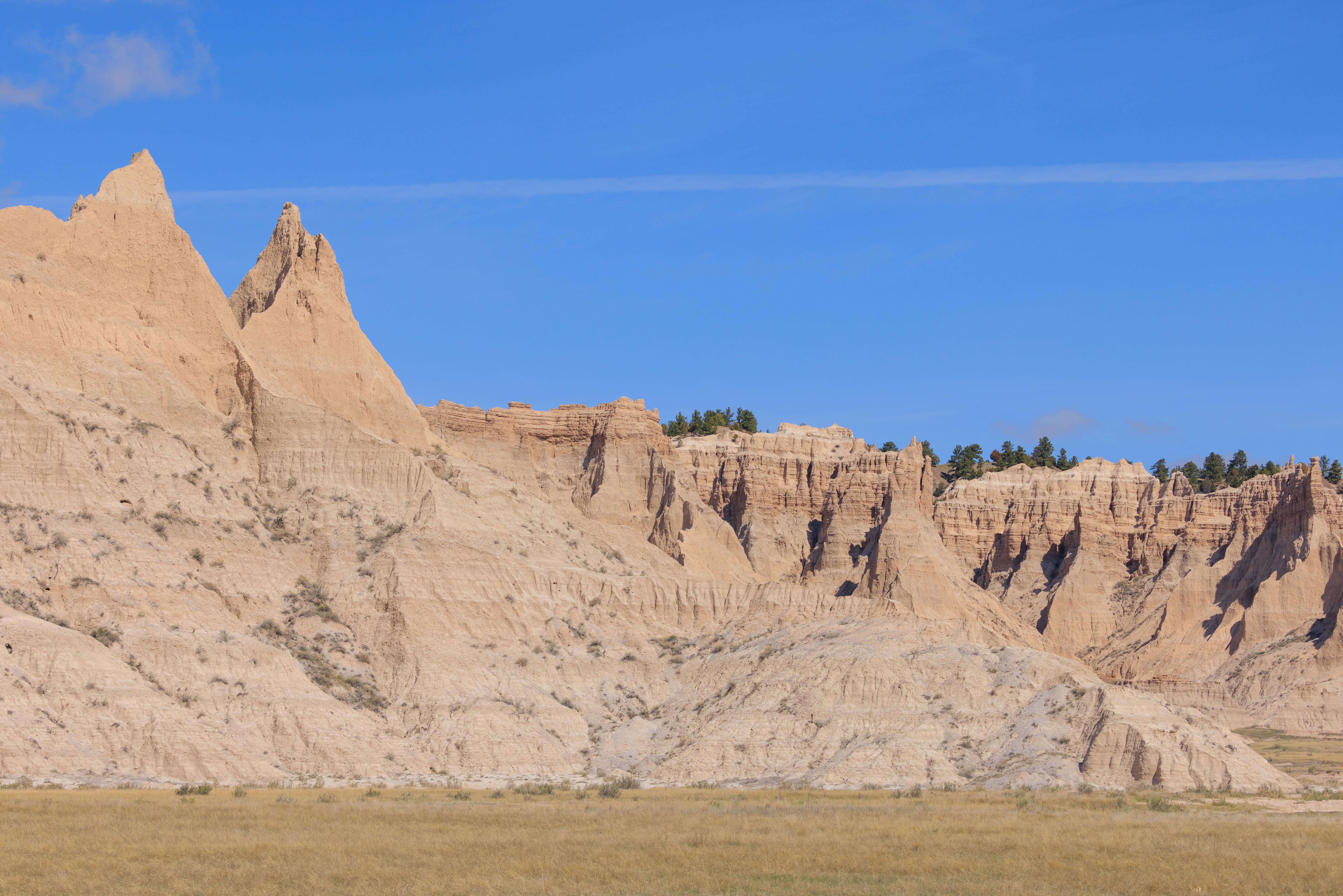
We drove on this road until reaching the White River Visitor Center which is currently closed. There was some nice scenery on the north side of the road! We passed by many cows on the adjacent farms, very common in this part of South Dakota. We rarely see bulls but saw a group of them along with some females running towards the north.