


After arriving in South Dakota today around noon, we headed out to Badlands National Park. We spent some time enjoying one of the scenic overlooks and two short trails. Beautiful scenery in the “baddest” of the badlands!
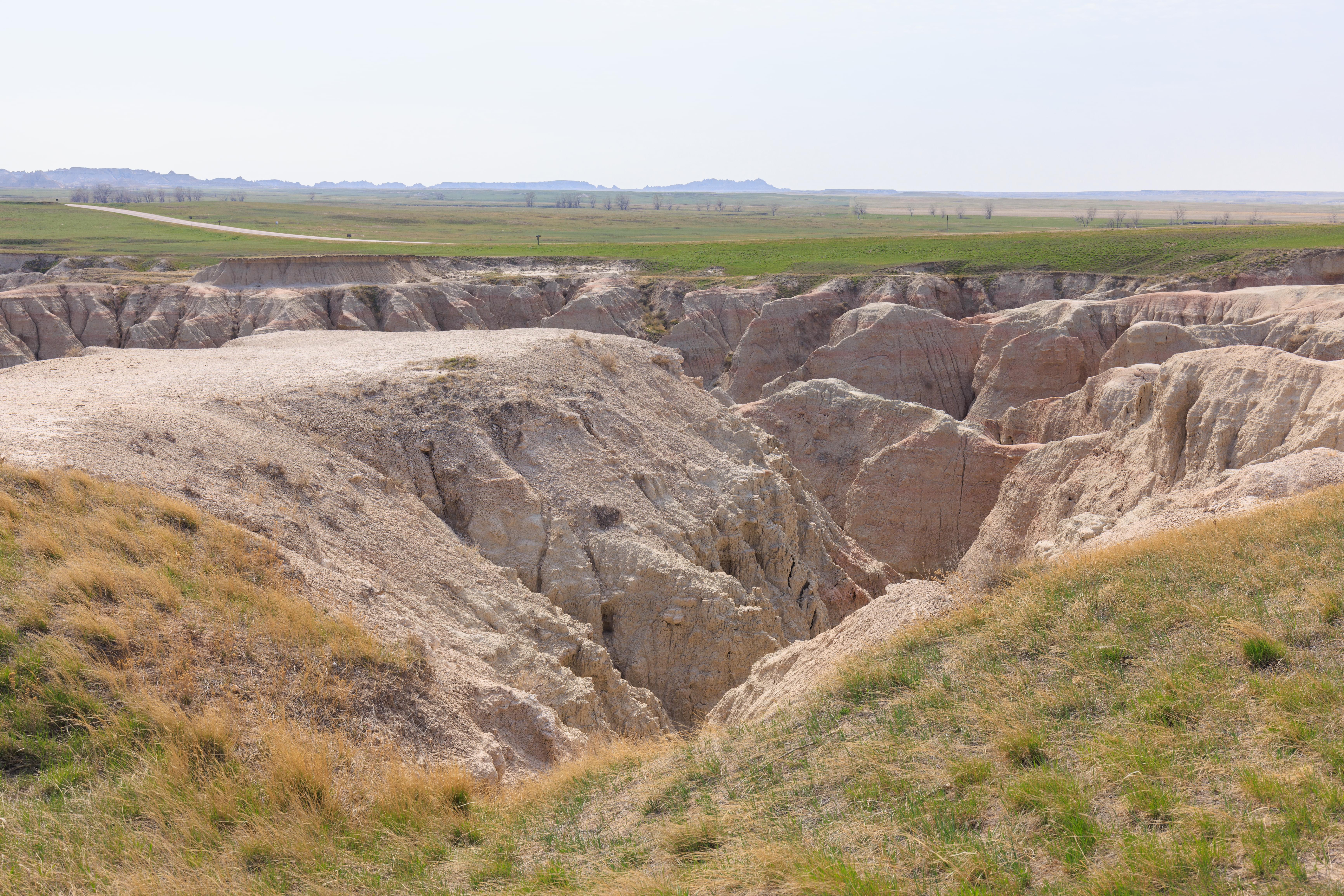
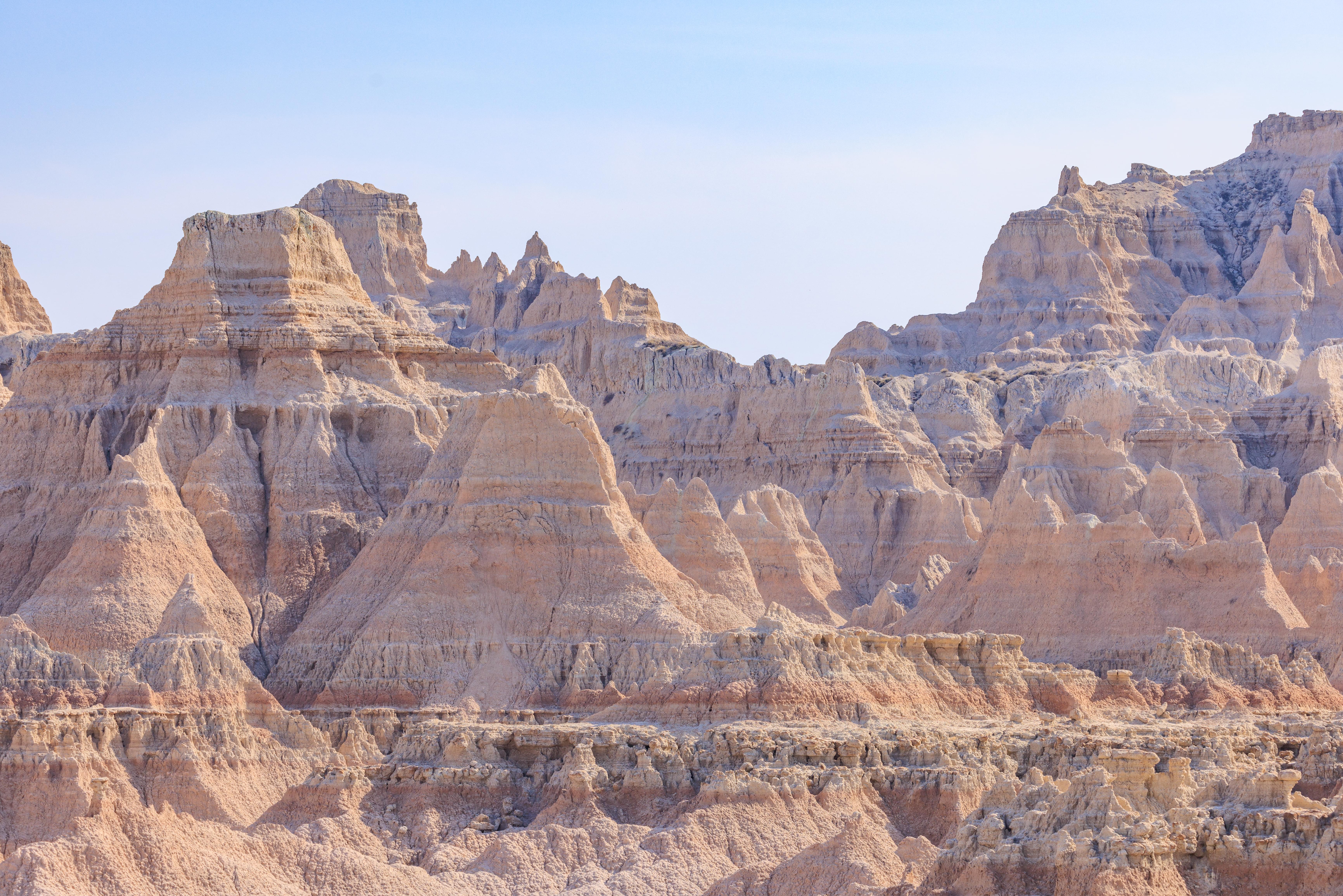
Big Badlands Overlook
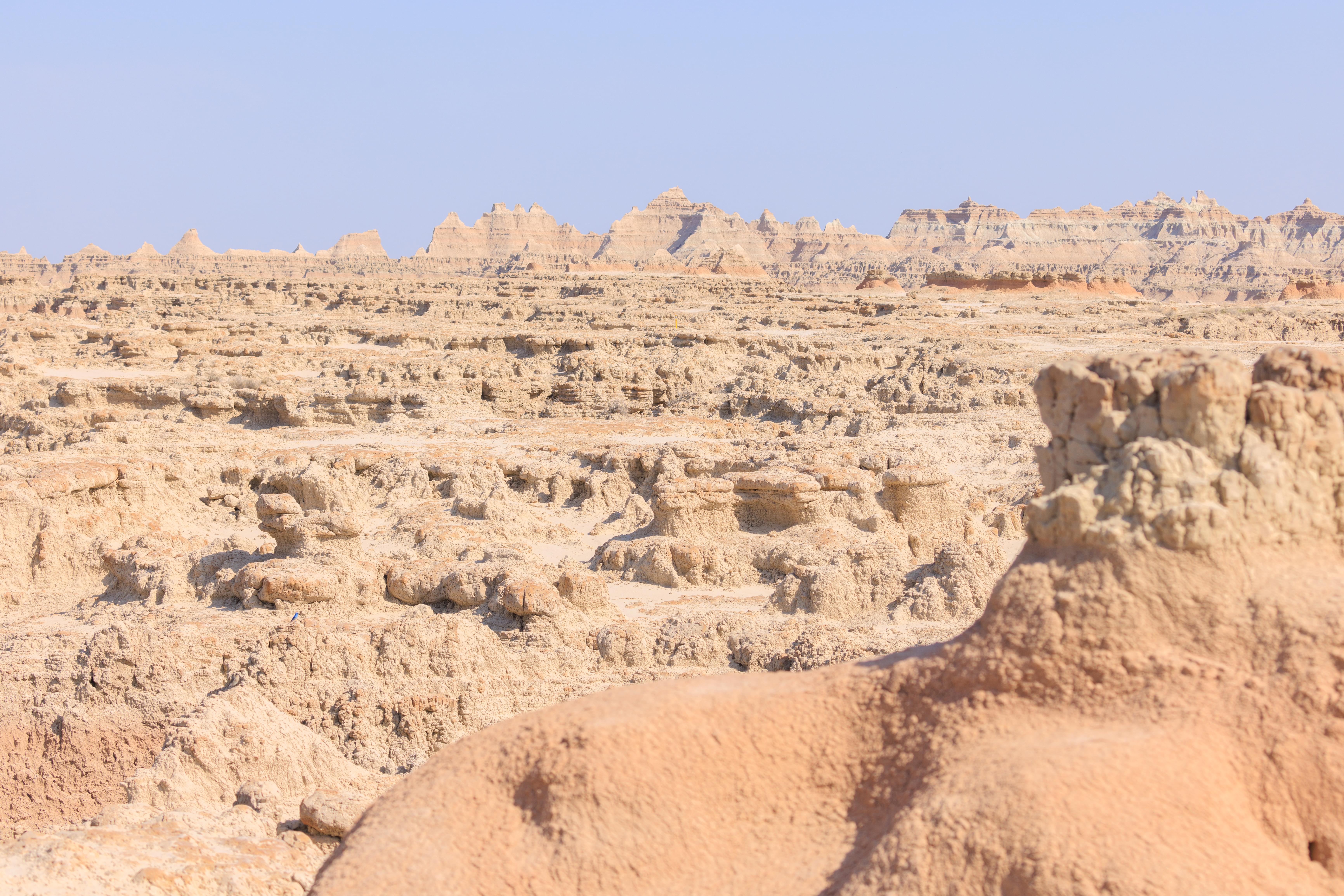
The Big Badlands Overlook is the very first one encounters when entering the park from the northeast.
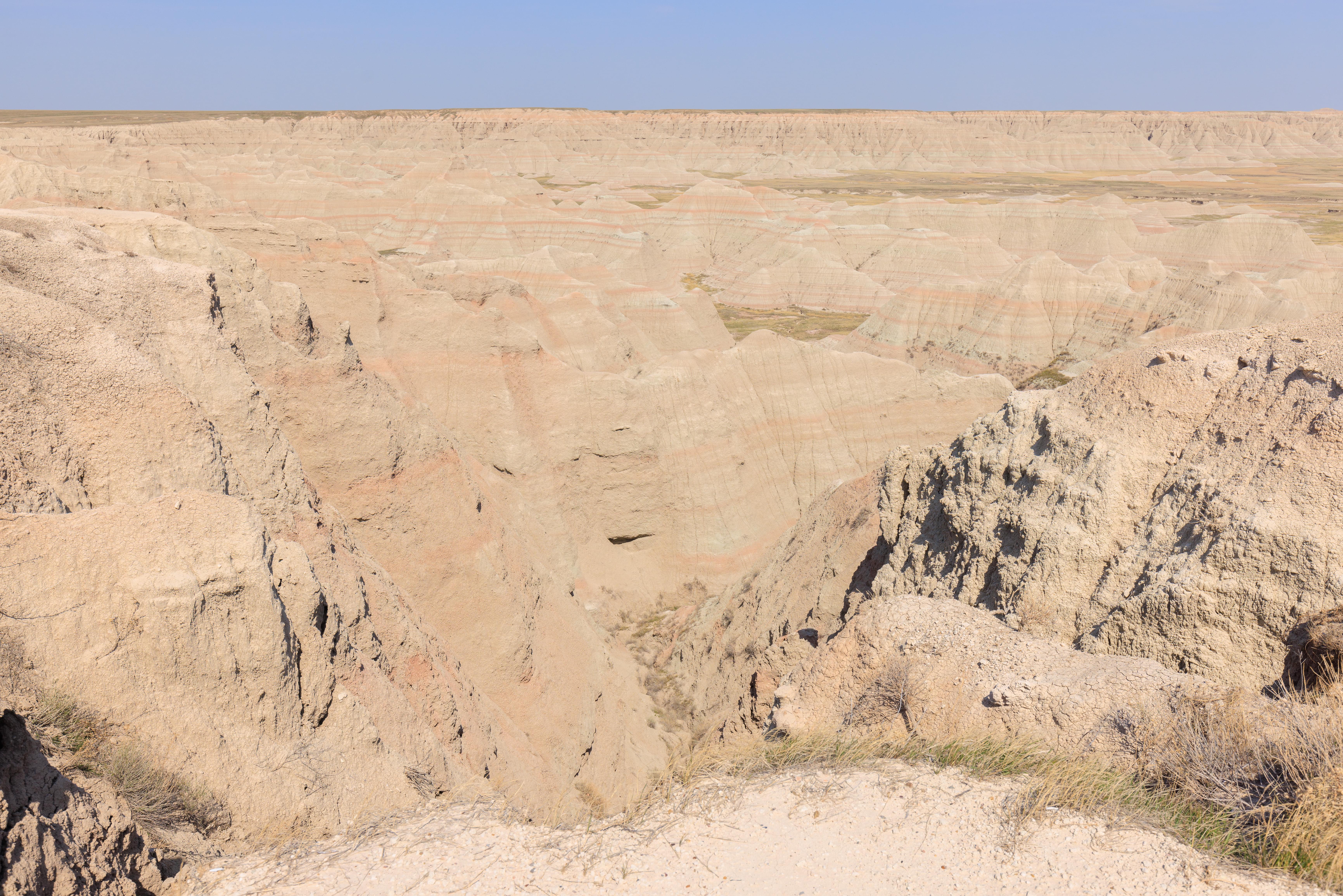

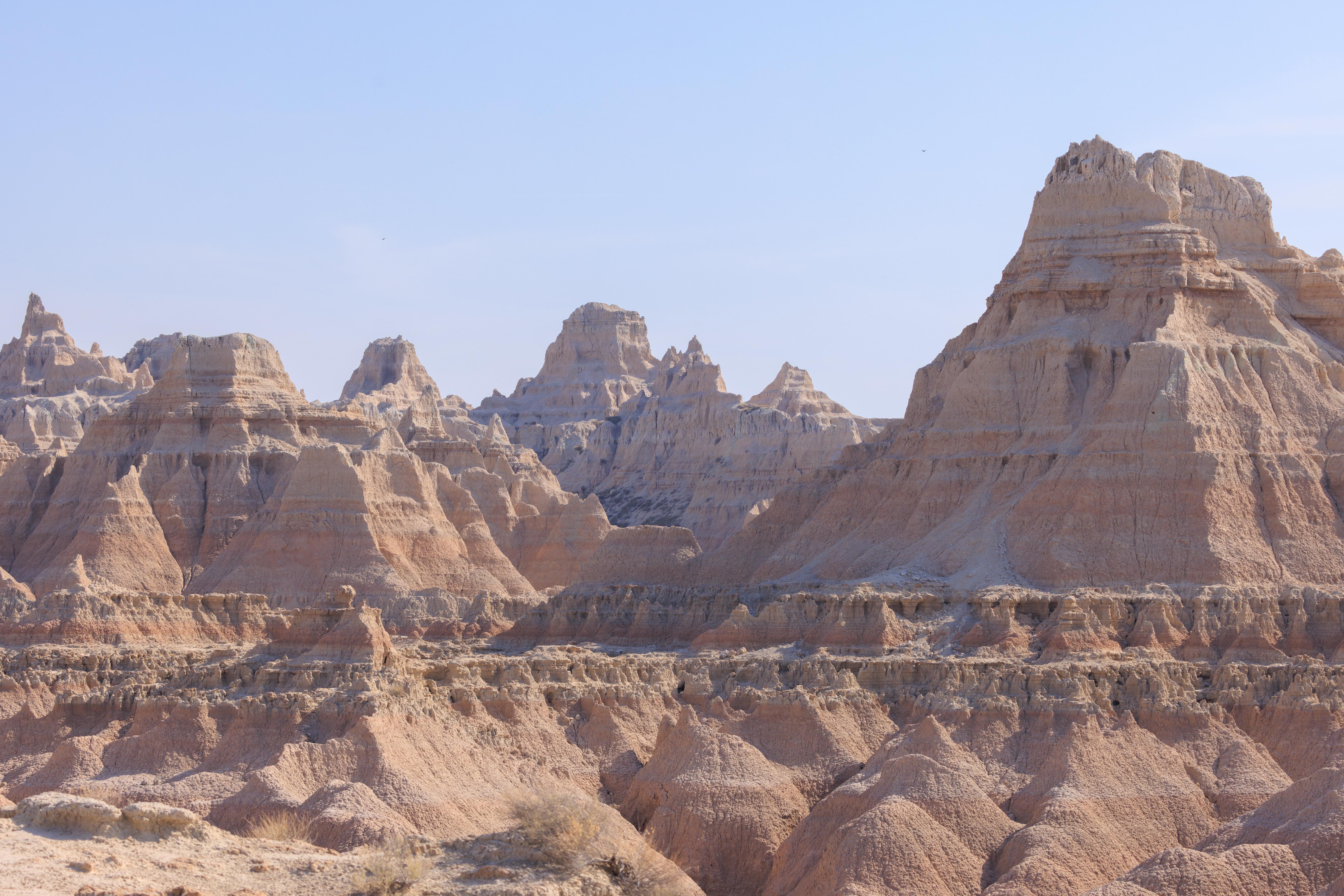
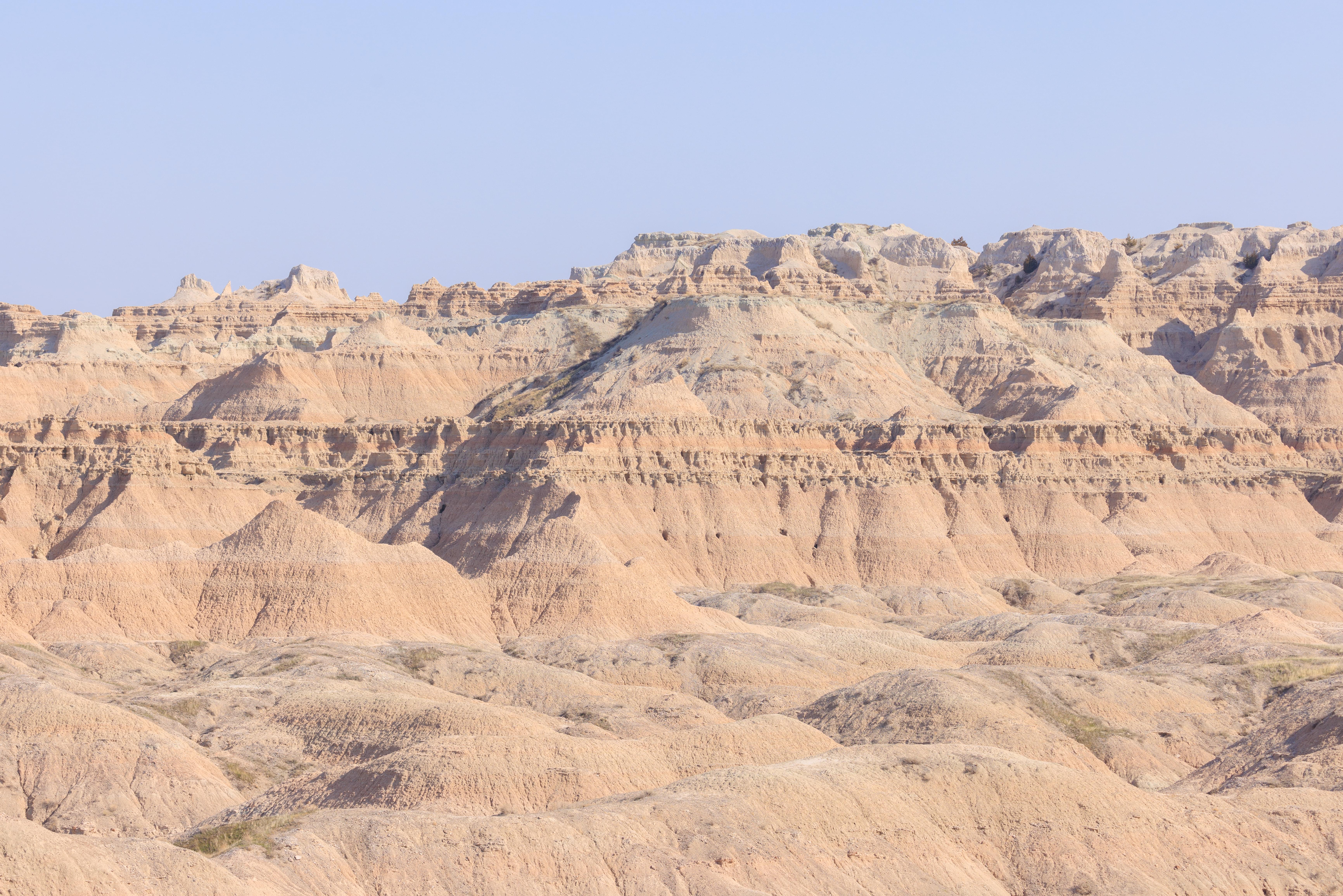
Looking to the east, with the sun more or less behind us, everything appeared rather uniform. While the land was a variety of colors, the reds were not very deep like they often are in other areas of the country.
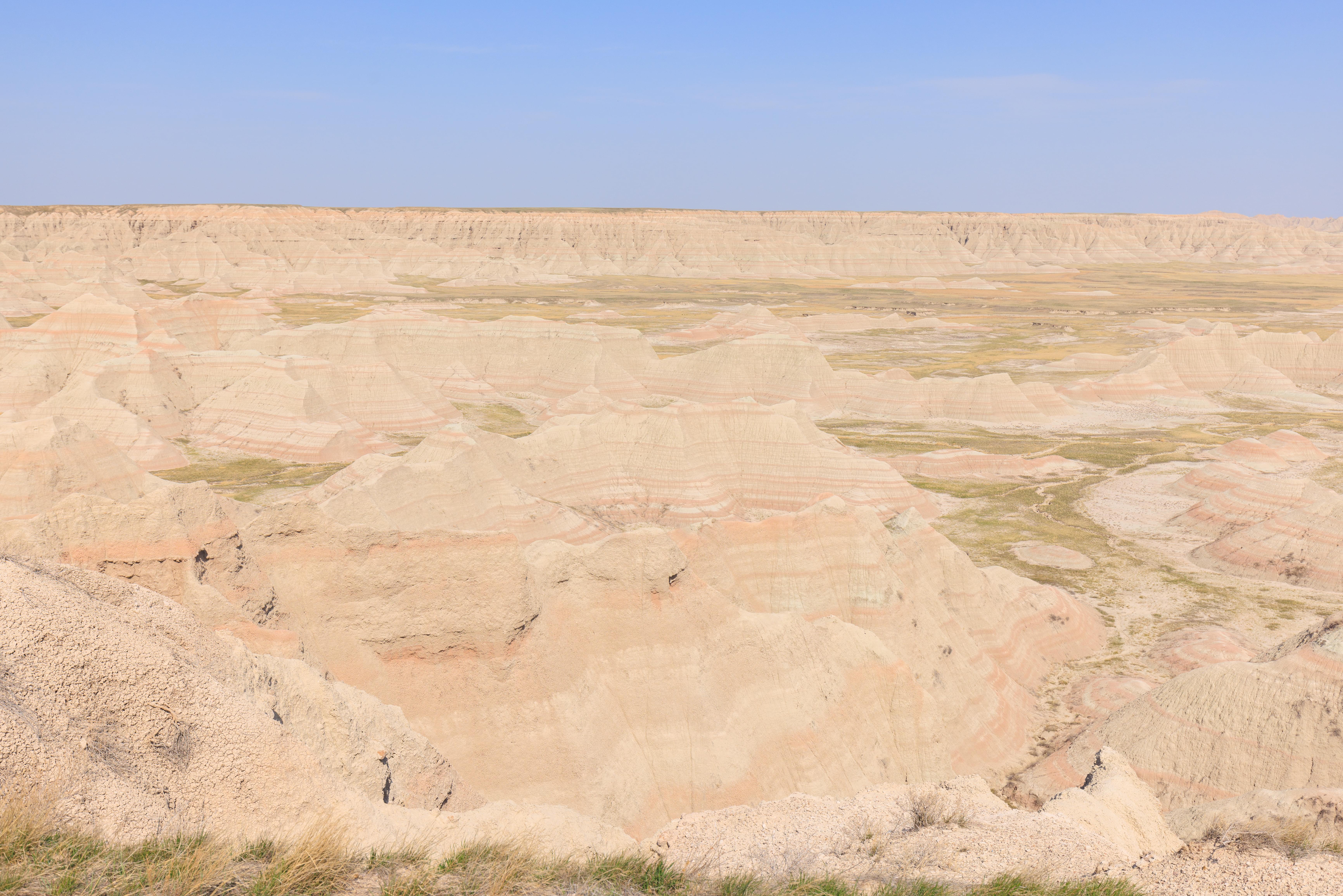
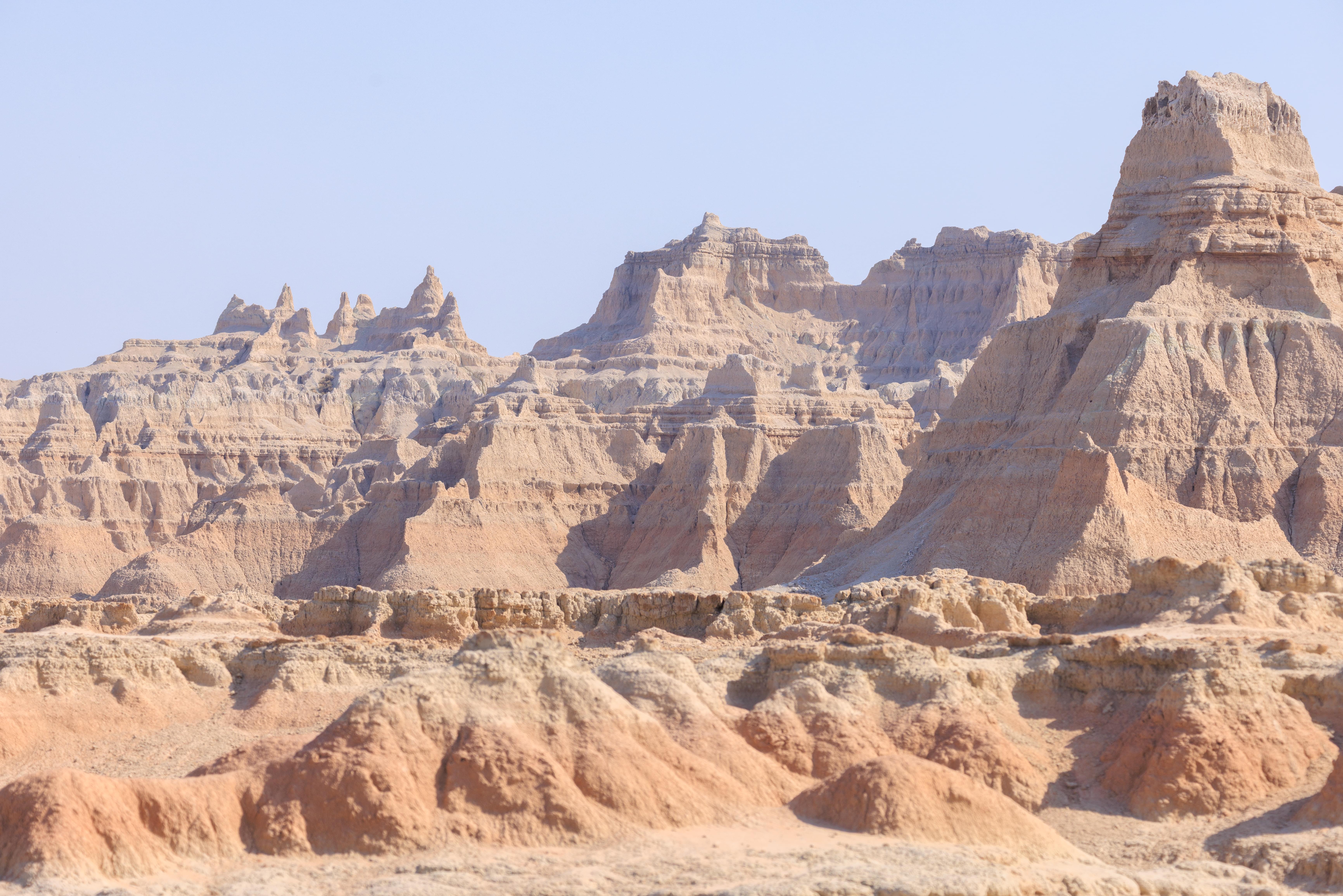
There was a little more variety in color apparent when looking to the south east with the sun to our right. Perhaps a tad more interesting in appearance?
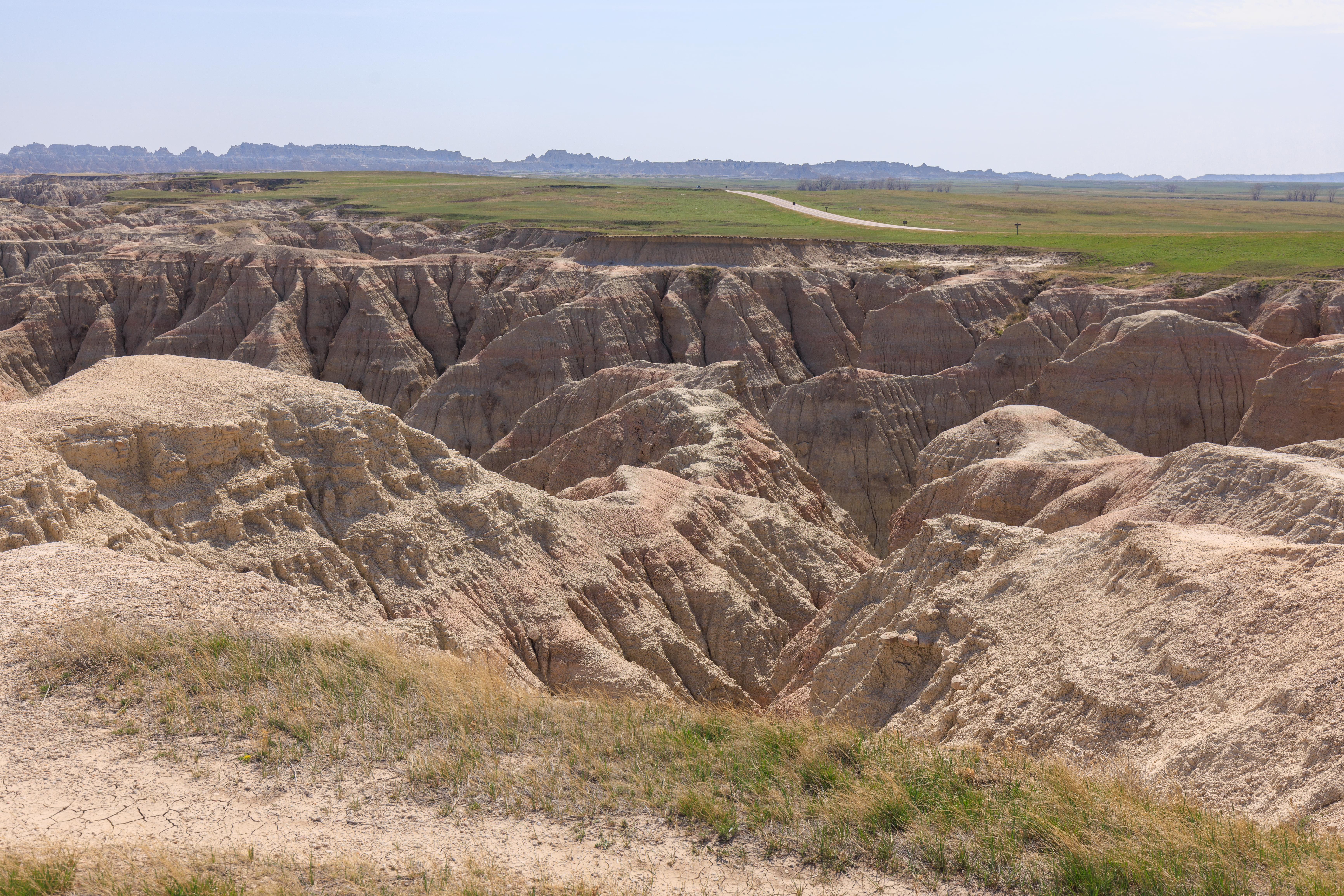
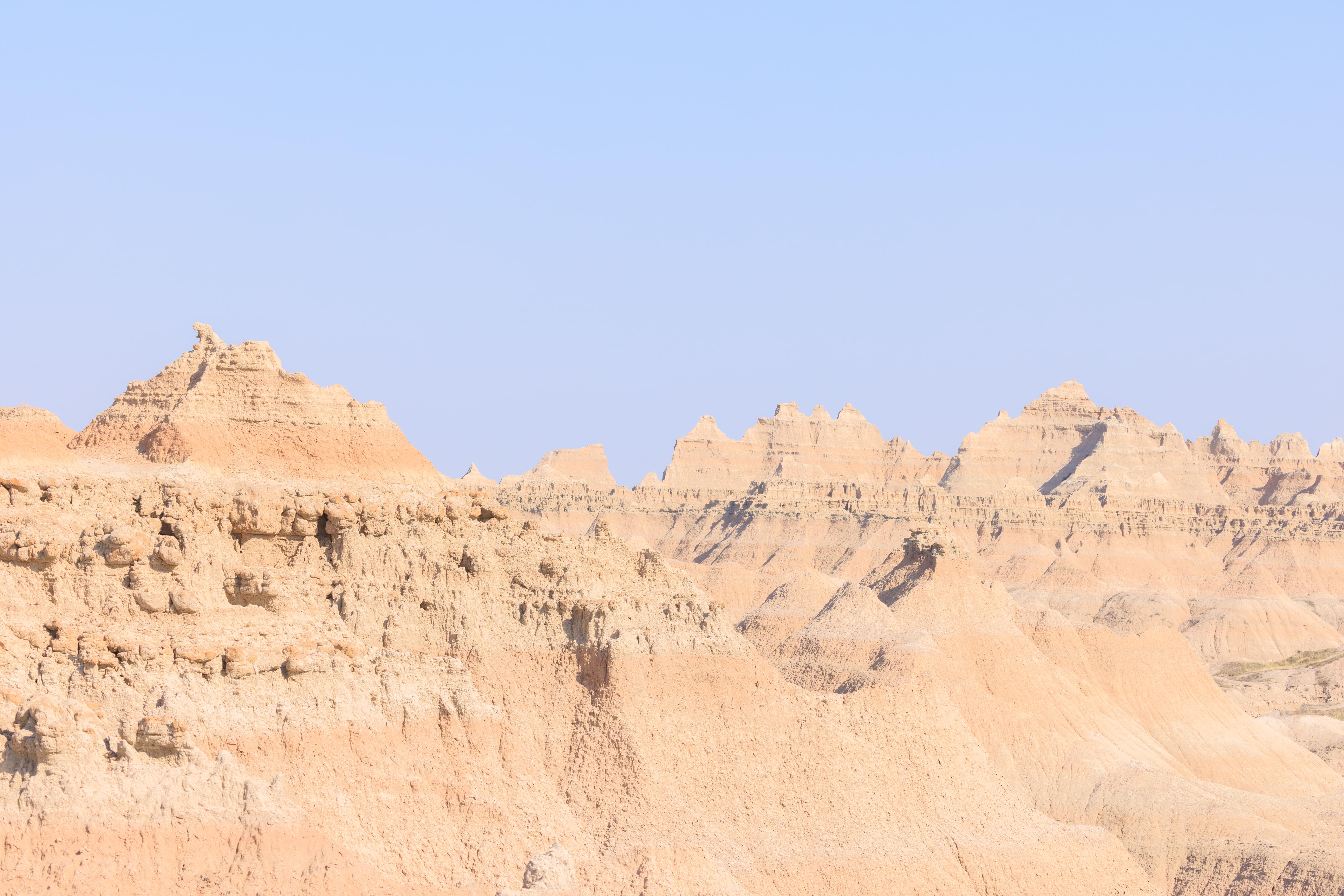
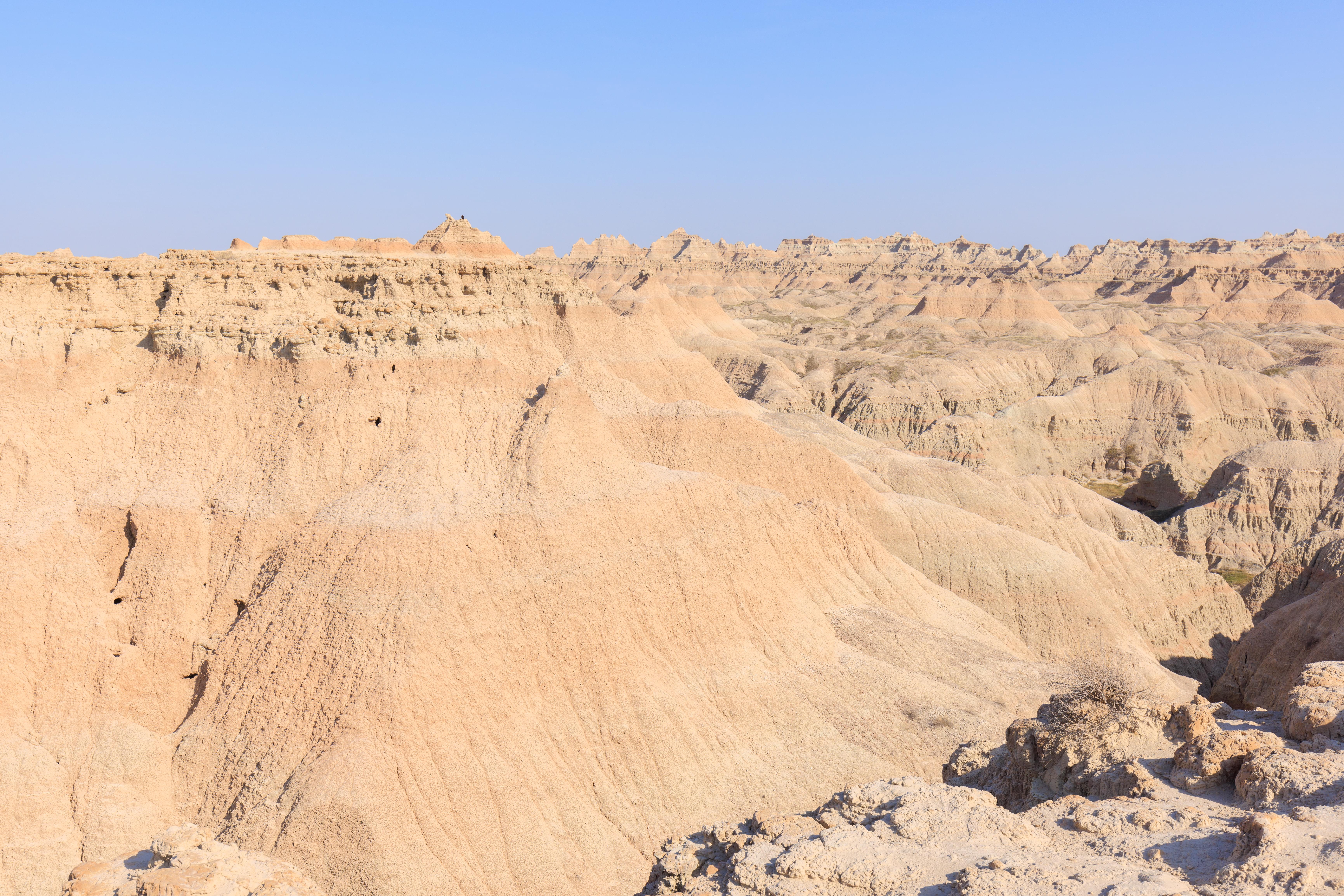
While the land below us was very dry with very little foliage, the land above was green and covered with grass.
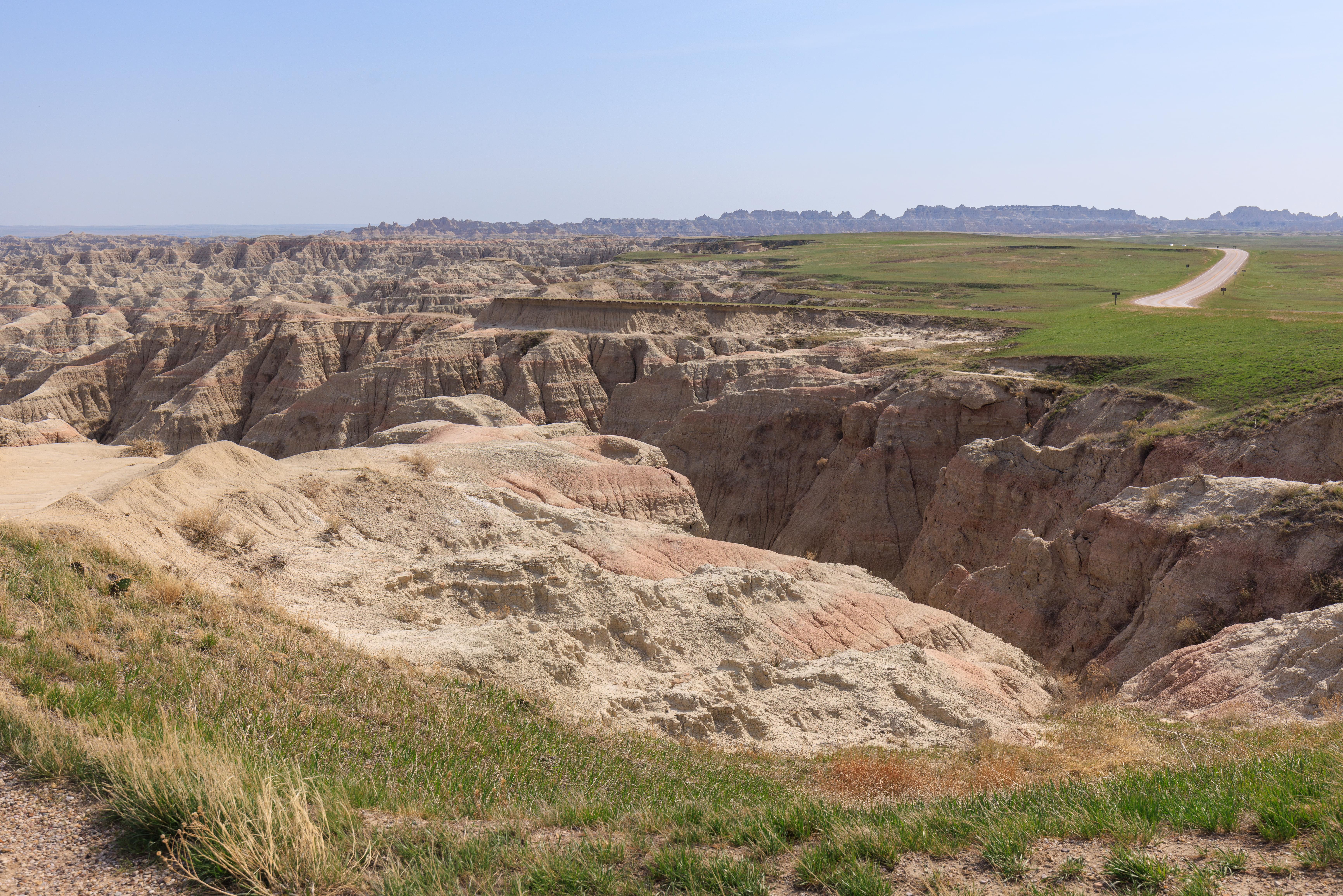
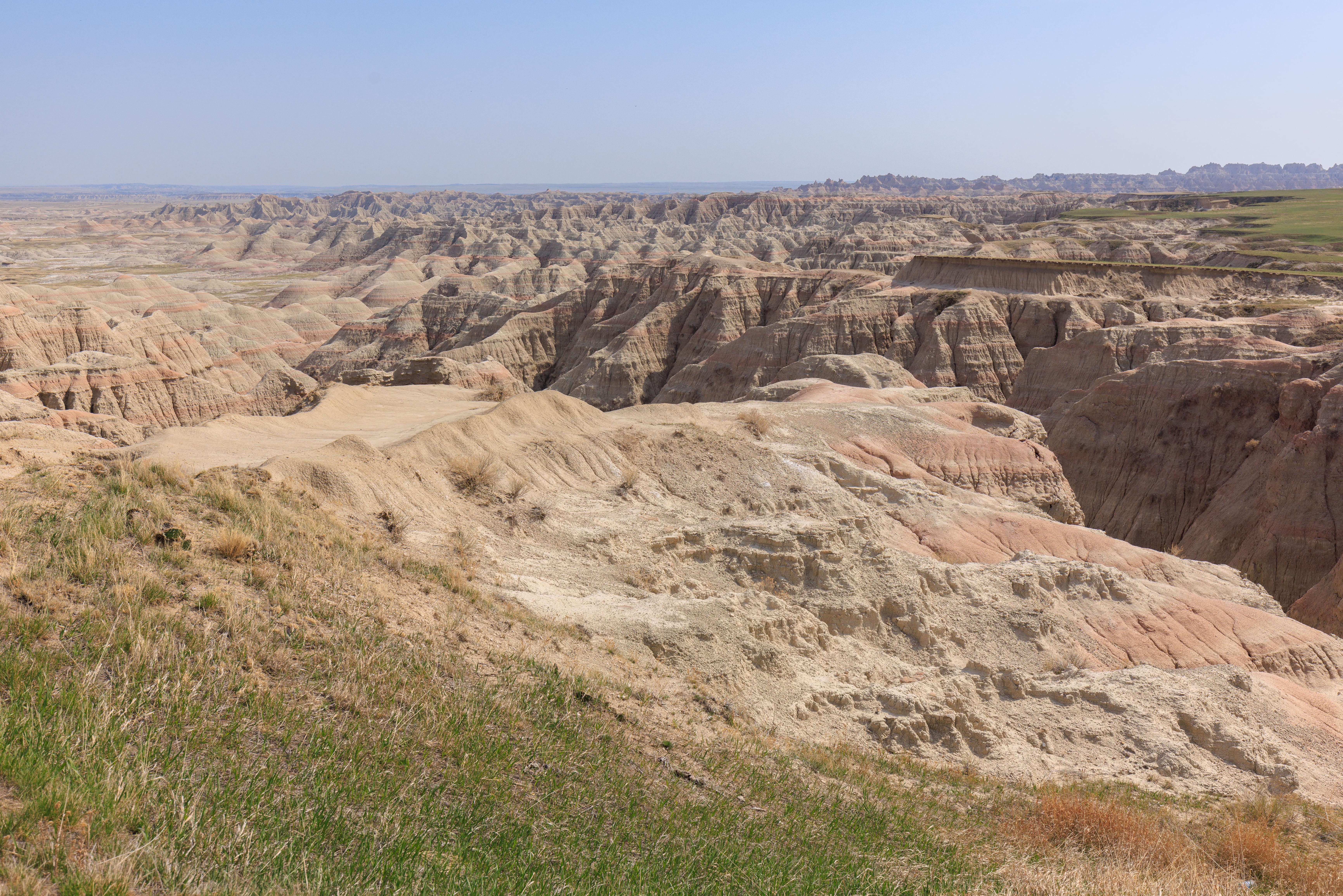
Door Trail
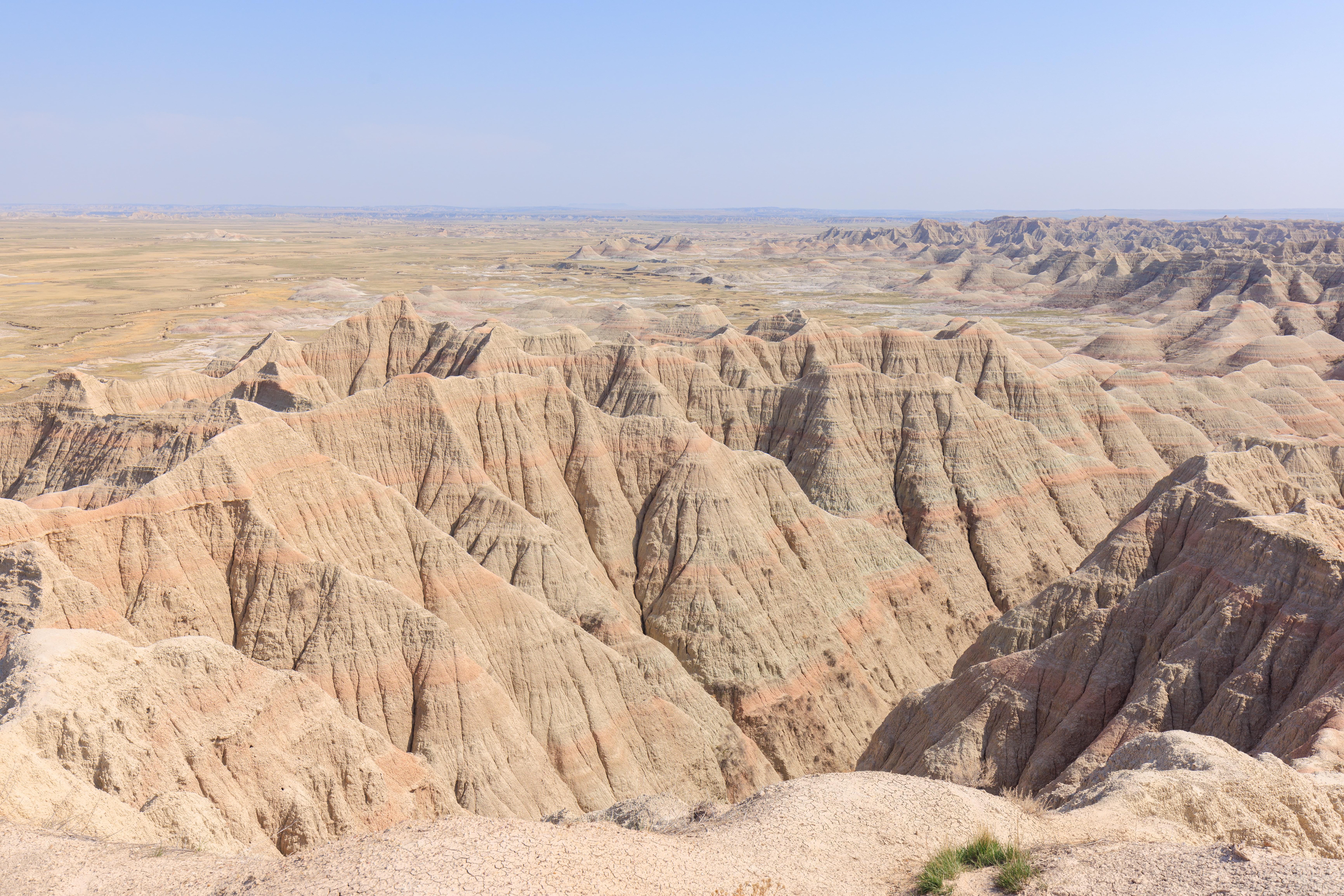
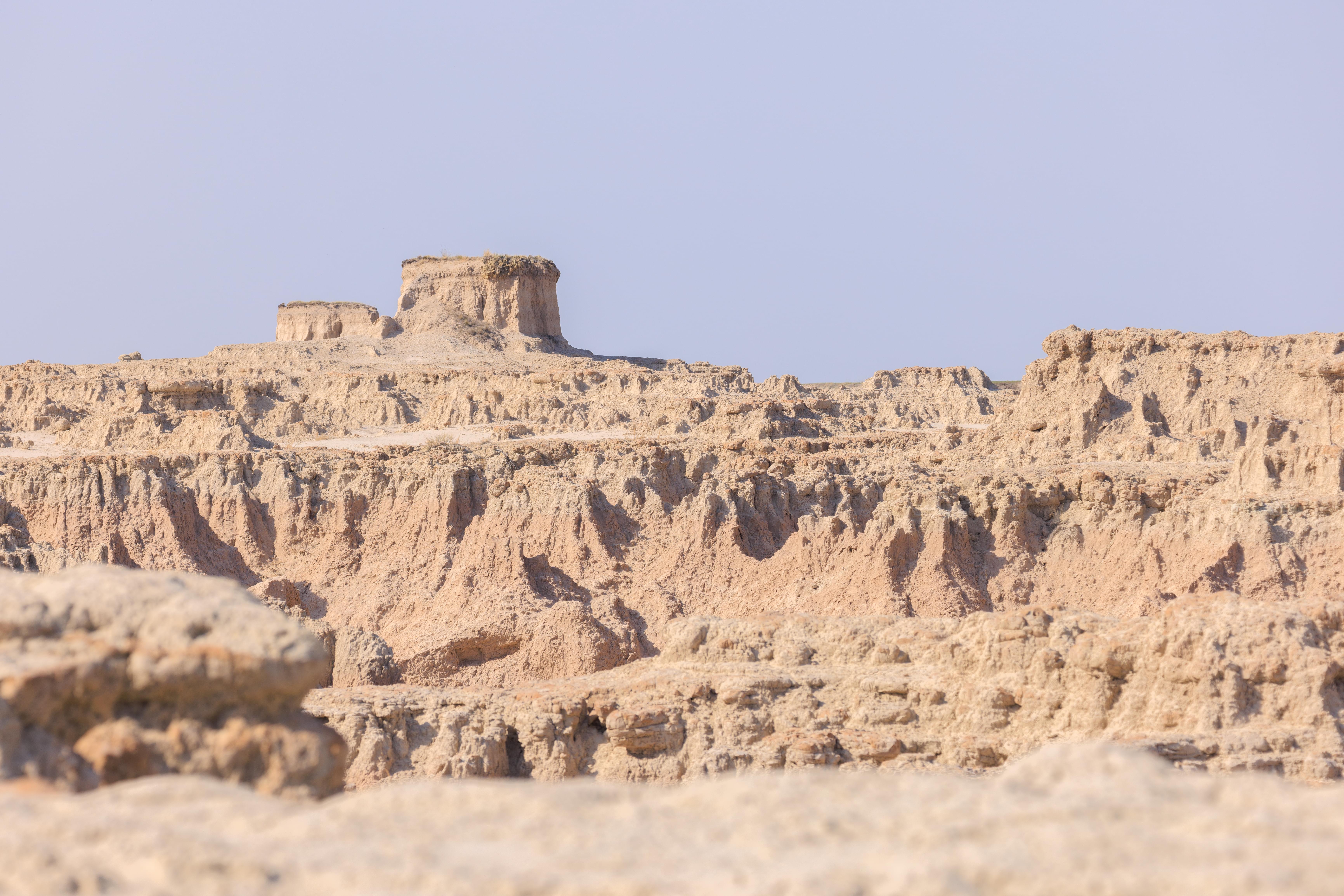
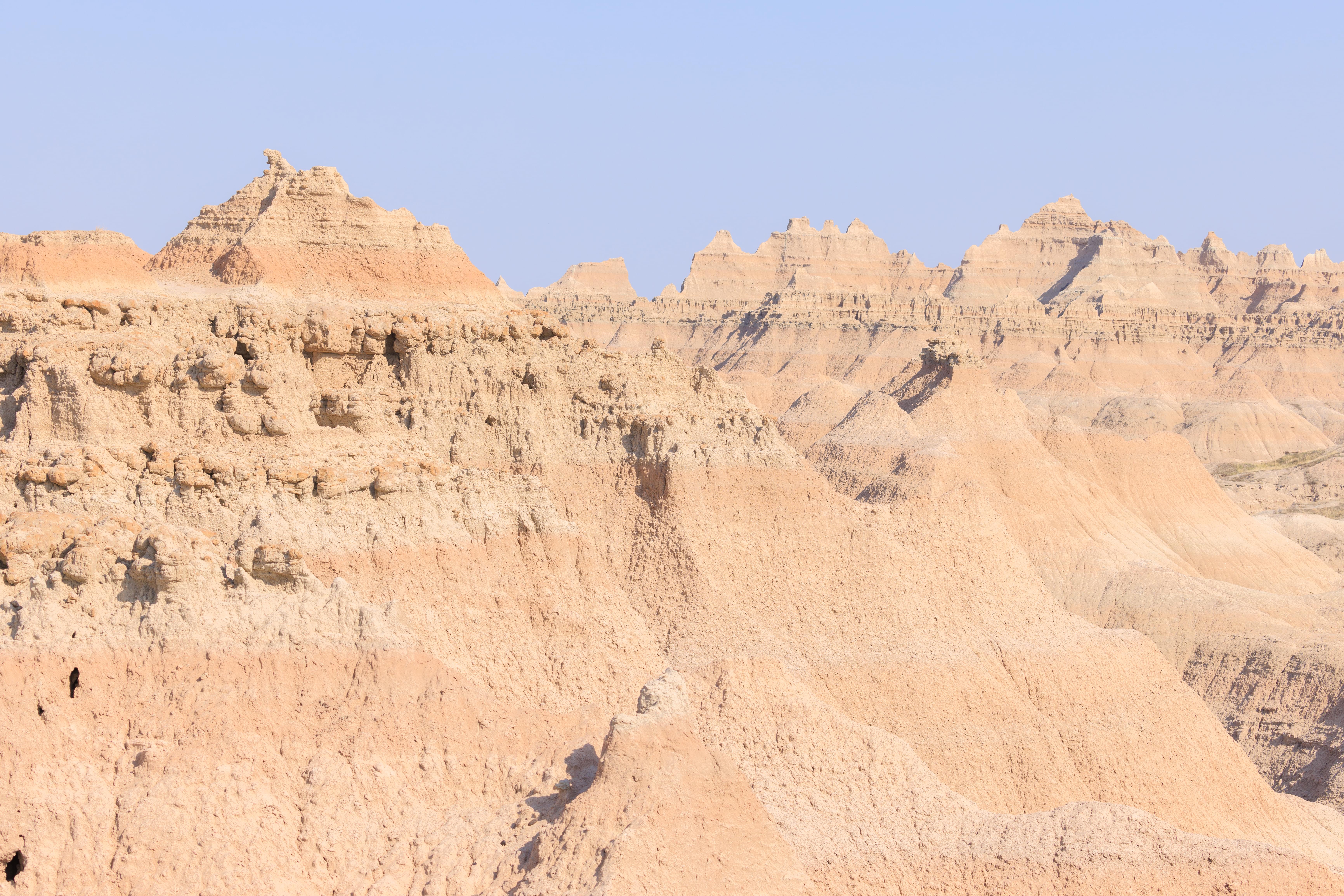
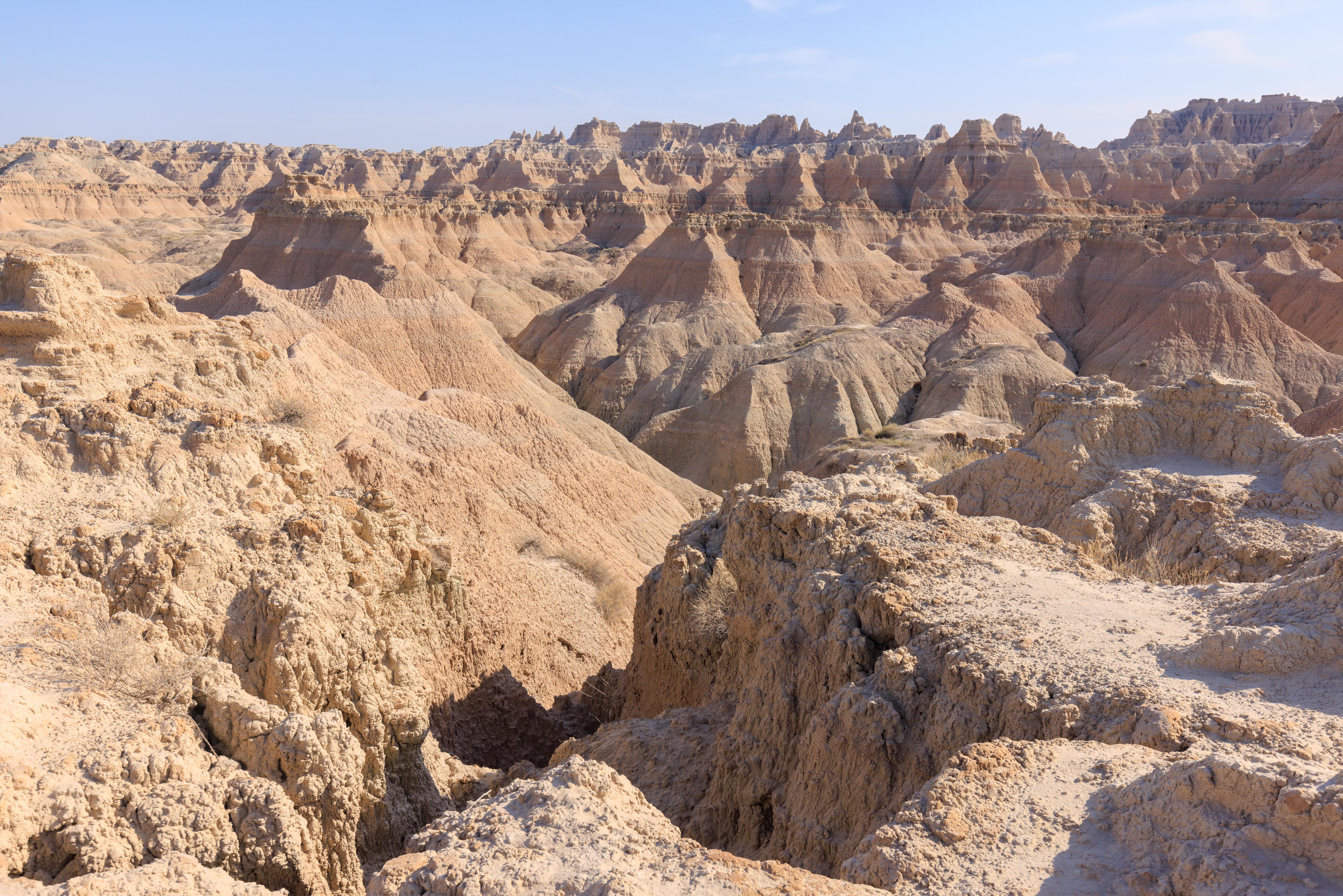
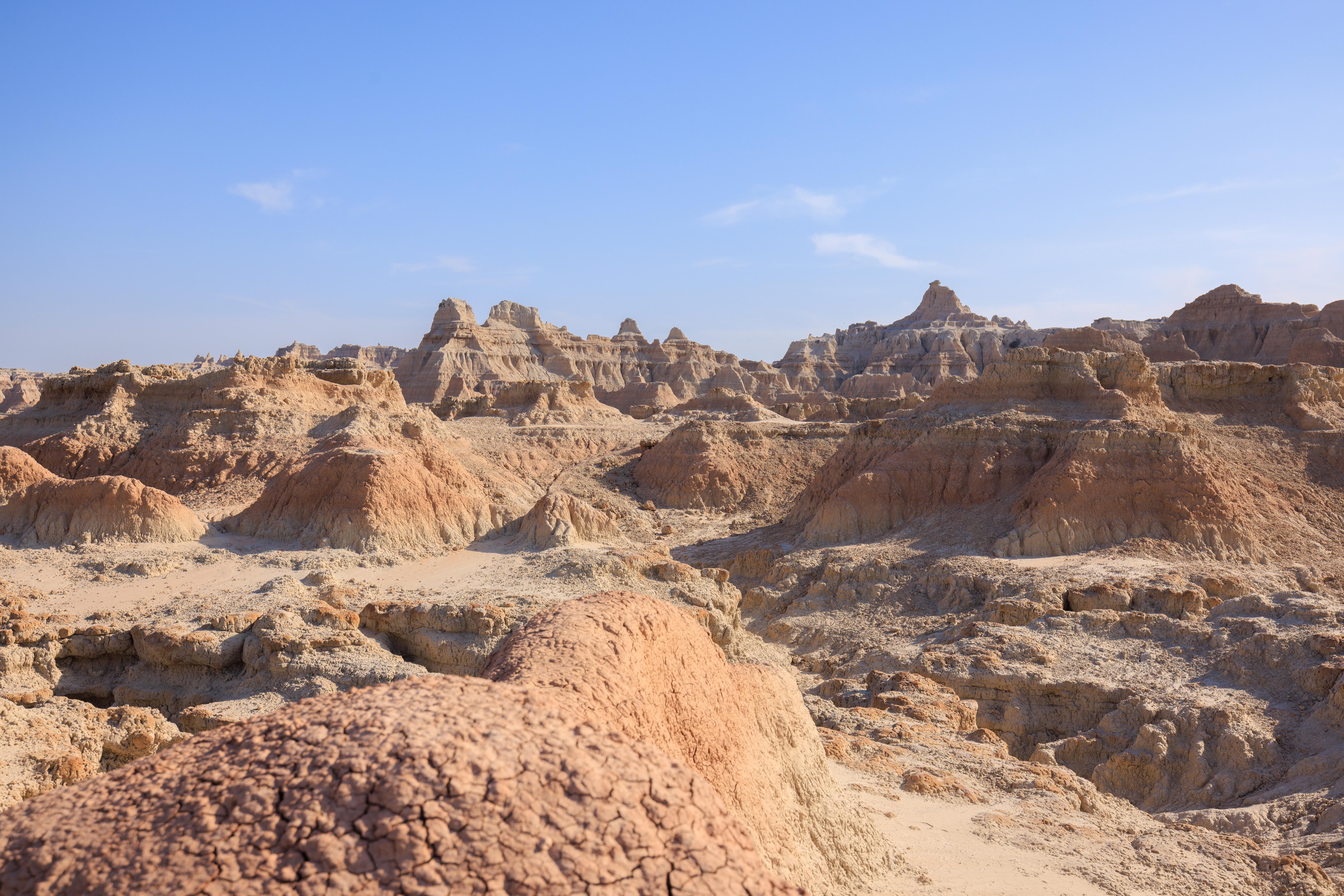
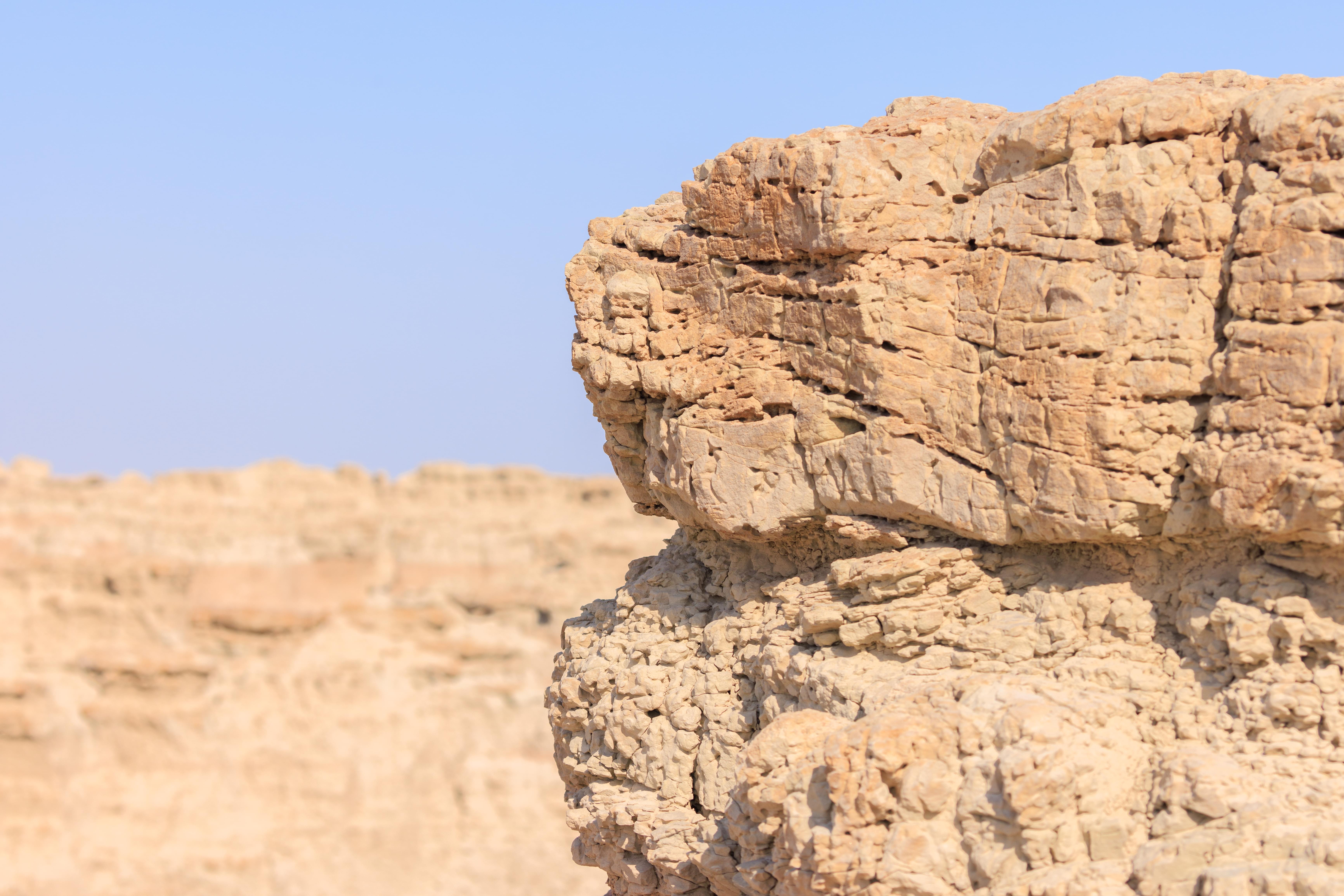
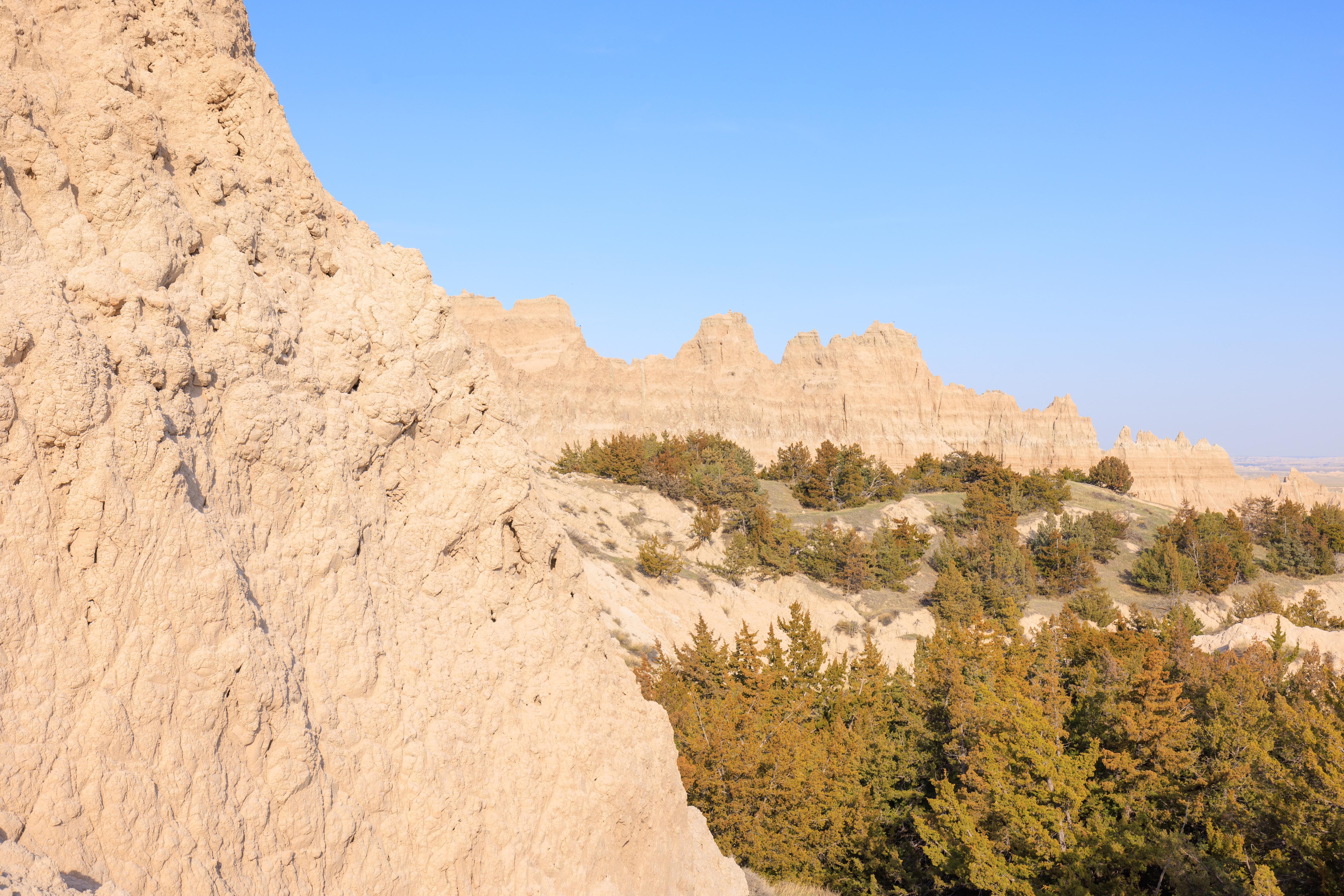
Our next stop was two miles or so to the south. This area has multiple trails but we took the northernmost one, the Door Trail. This trail consists of a short boardwalk followed by a longer portion over a relatively flat portion of the badlands terrain.
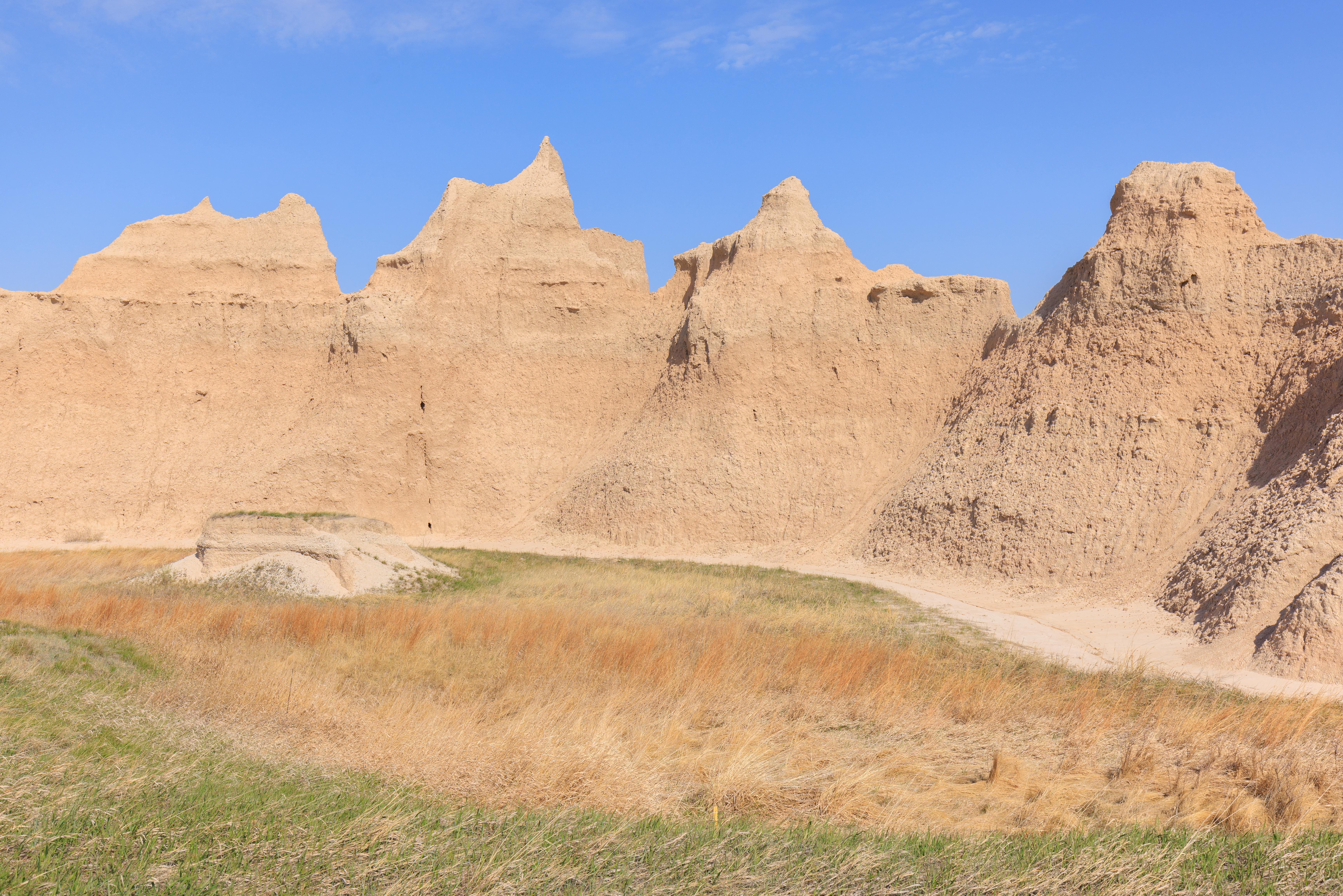
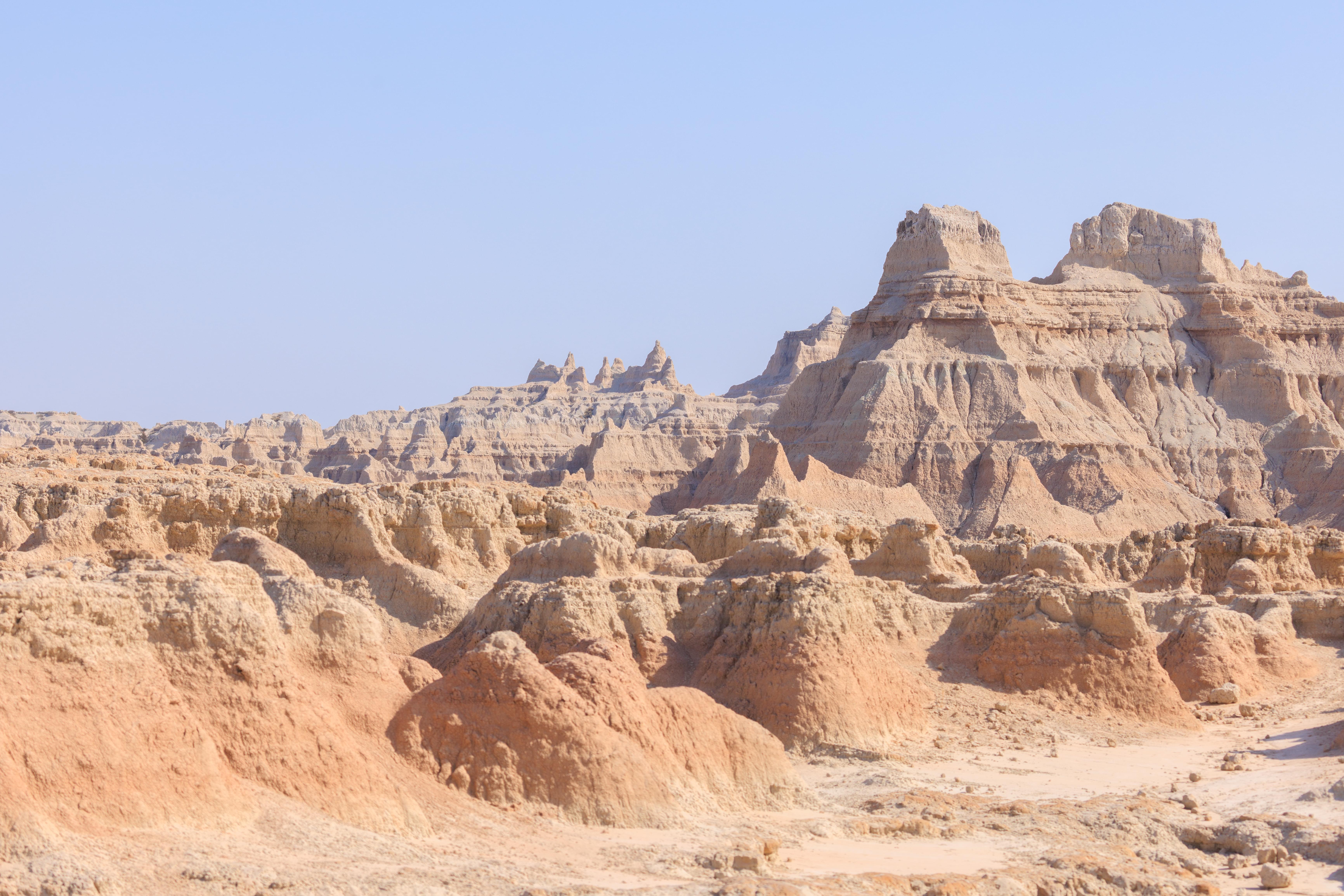
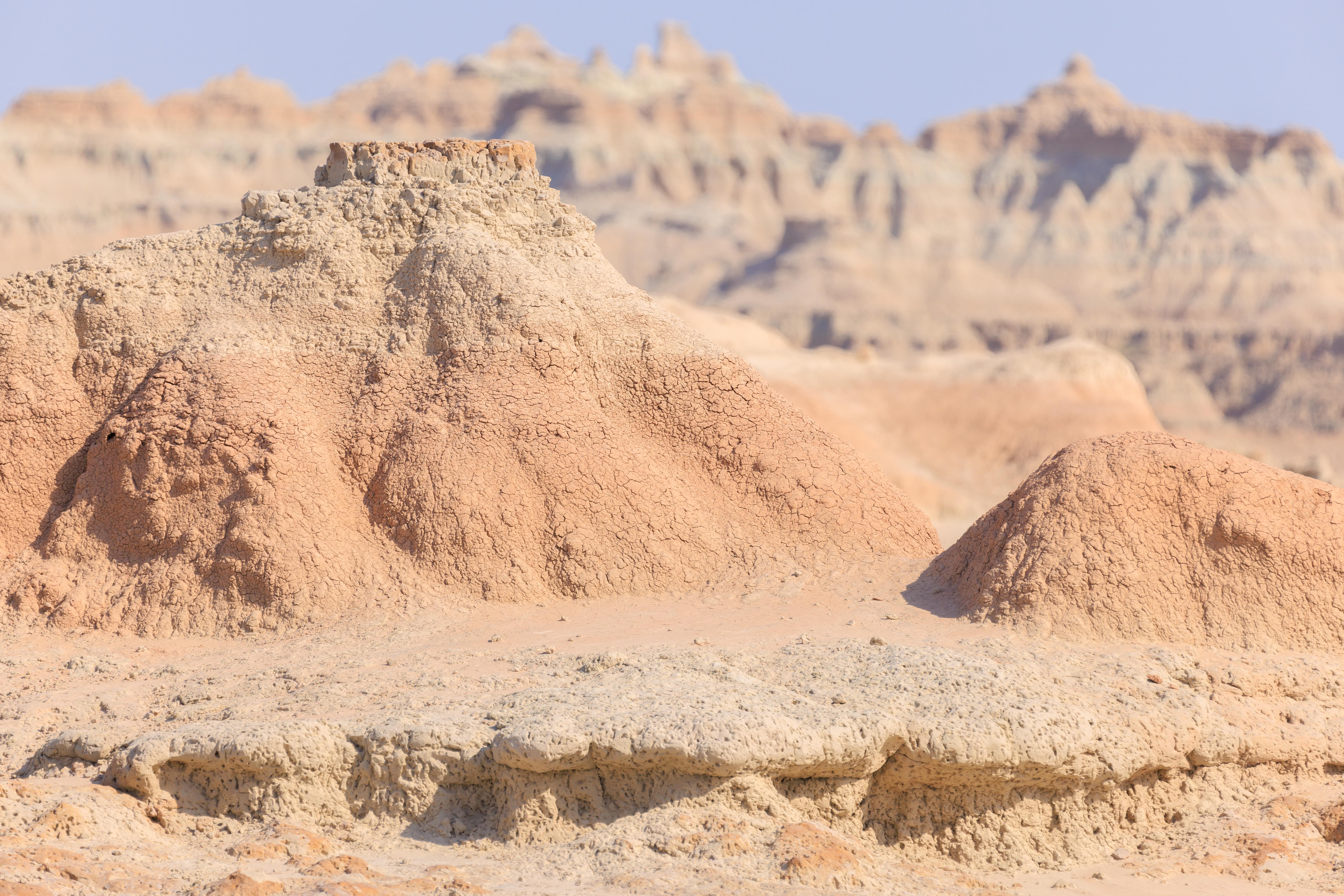
There were some tall formations between the parking lot and the start of the badlands terrain. These were the tallest spires around with everything else on the opposite side below grade.
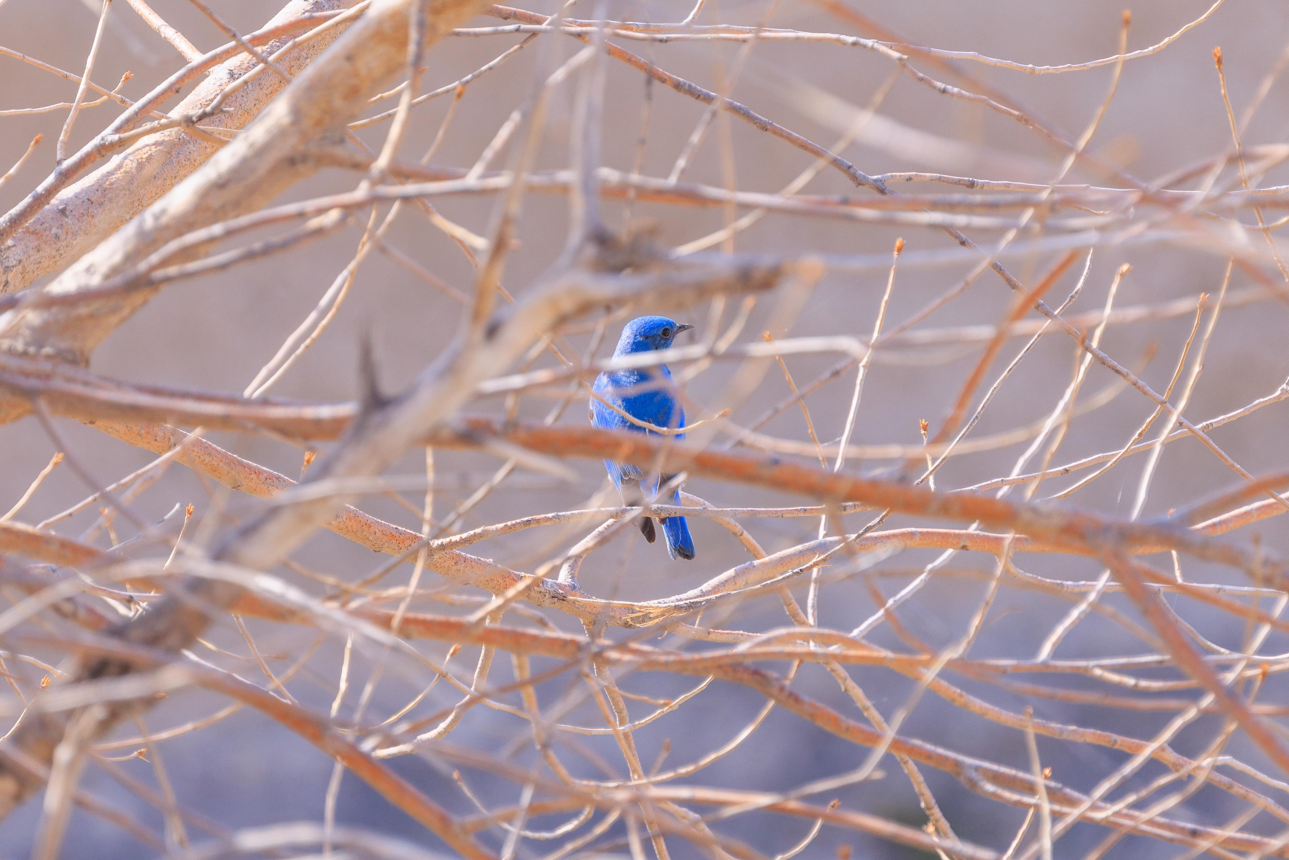
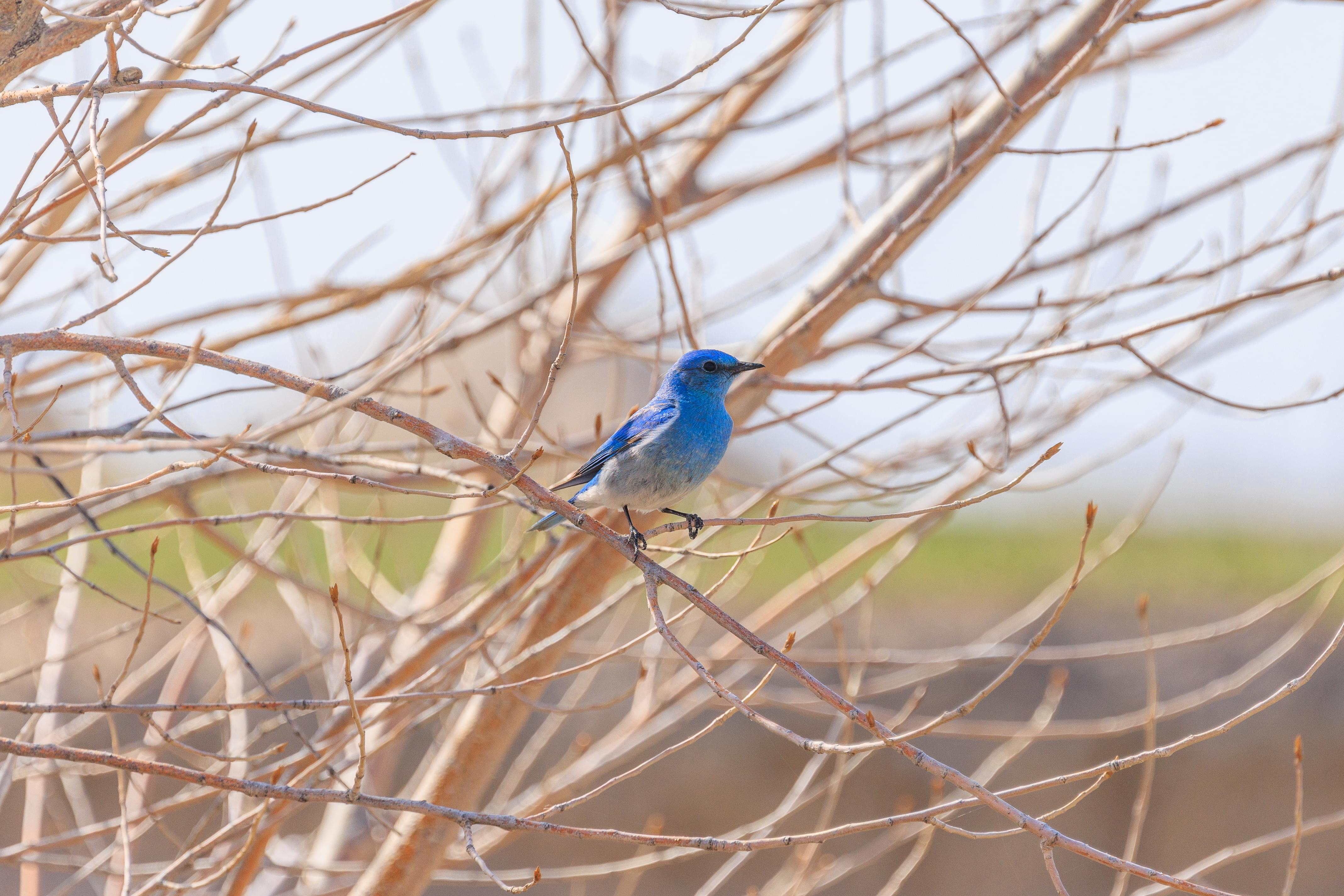
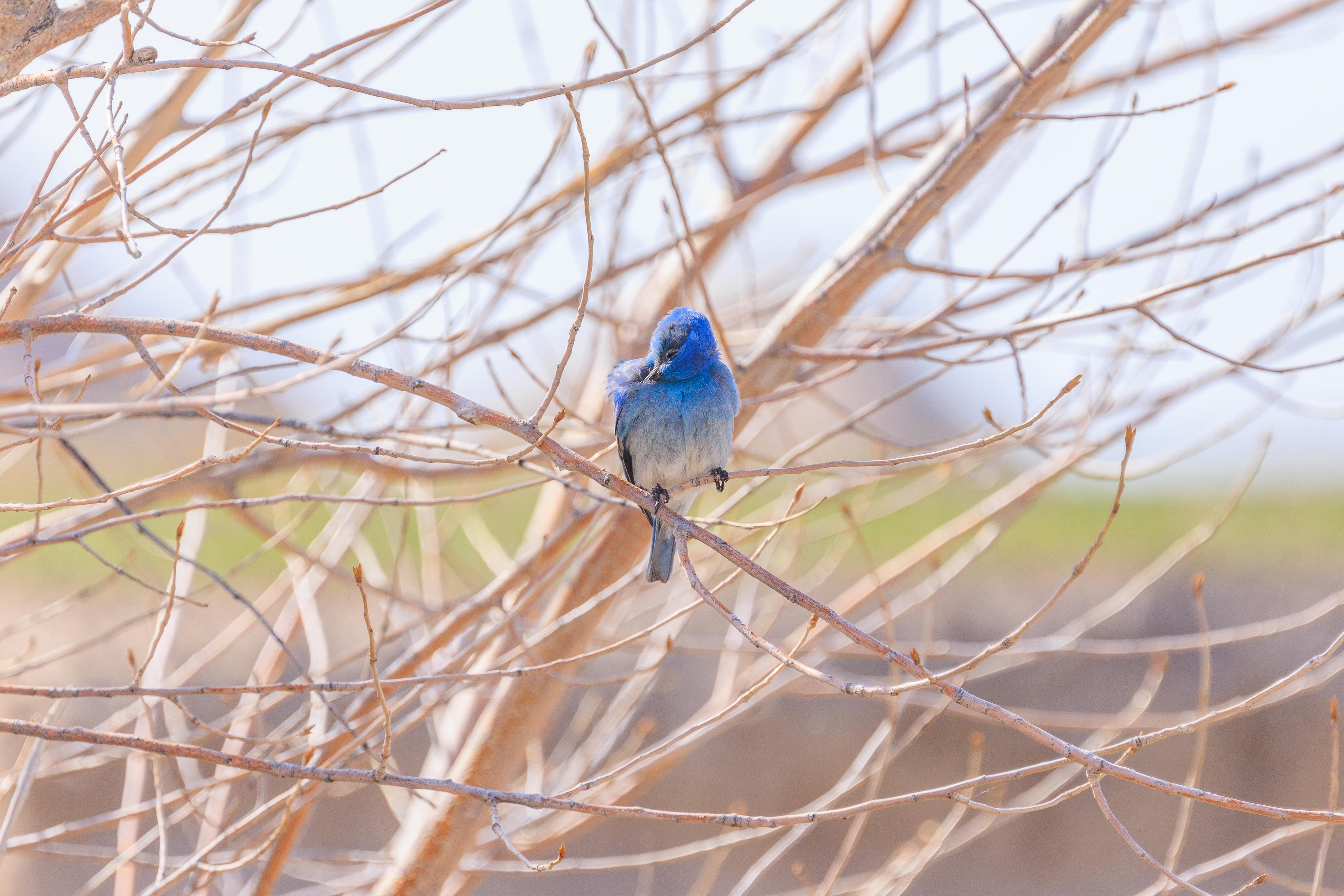
We heard the occasional bird singing here and there but we weren’t able to identify any of them until coming across this Mountain Bluebird! It was on a perch low to the ground out in the open when we first saw it. In the time it took to switch to the telephoto lens, it made a few hunting attacks, very similar to our Eastern Bluebirds back home, and visited a few perches before finally settling on this tree. It stayed there for awhile while we were hoping it would fly into the open again! It did not and we moved on.
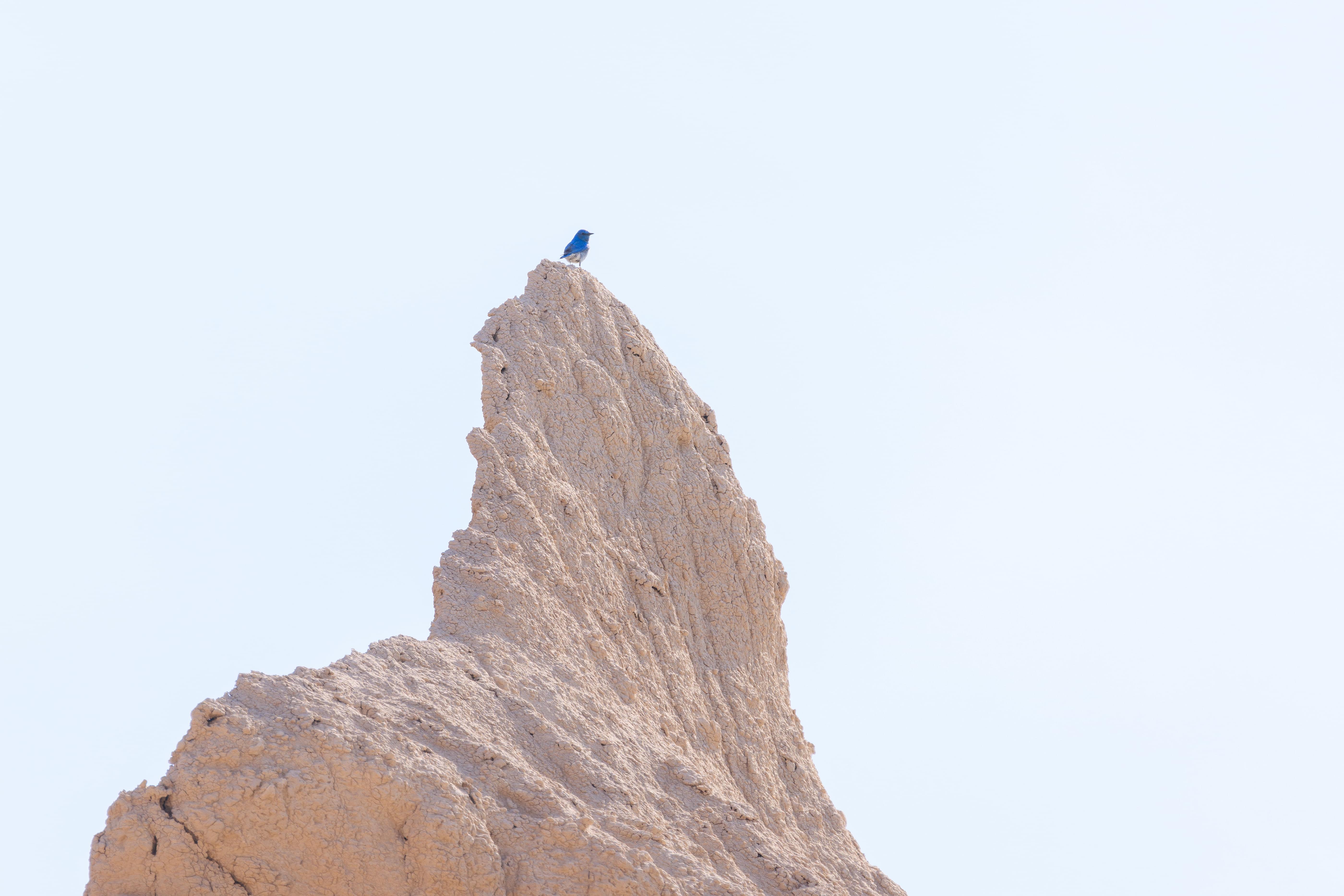
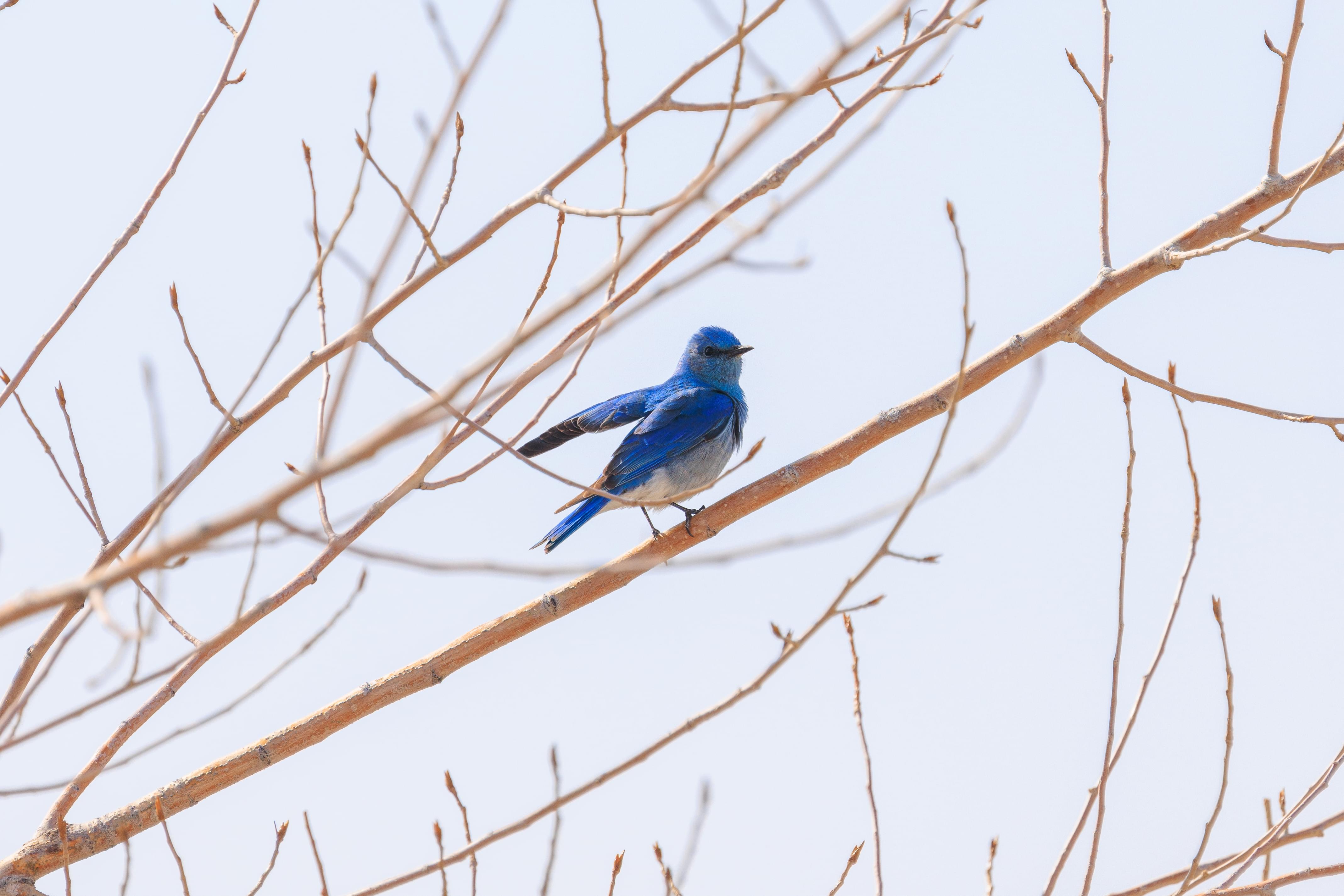
We think there were many Mountain Bluebirds everywhere though we didn’t see too many. This one was at the very top of a tall formation!
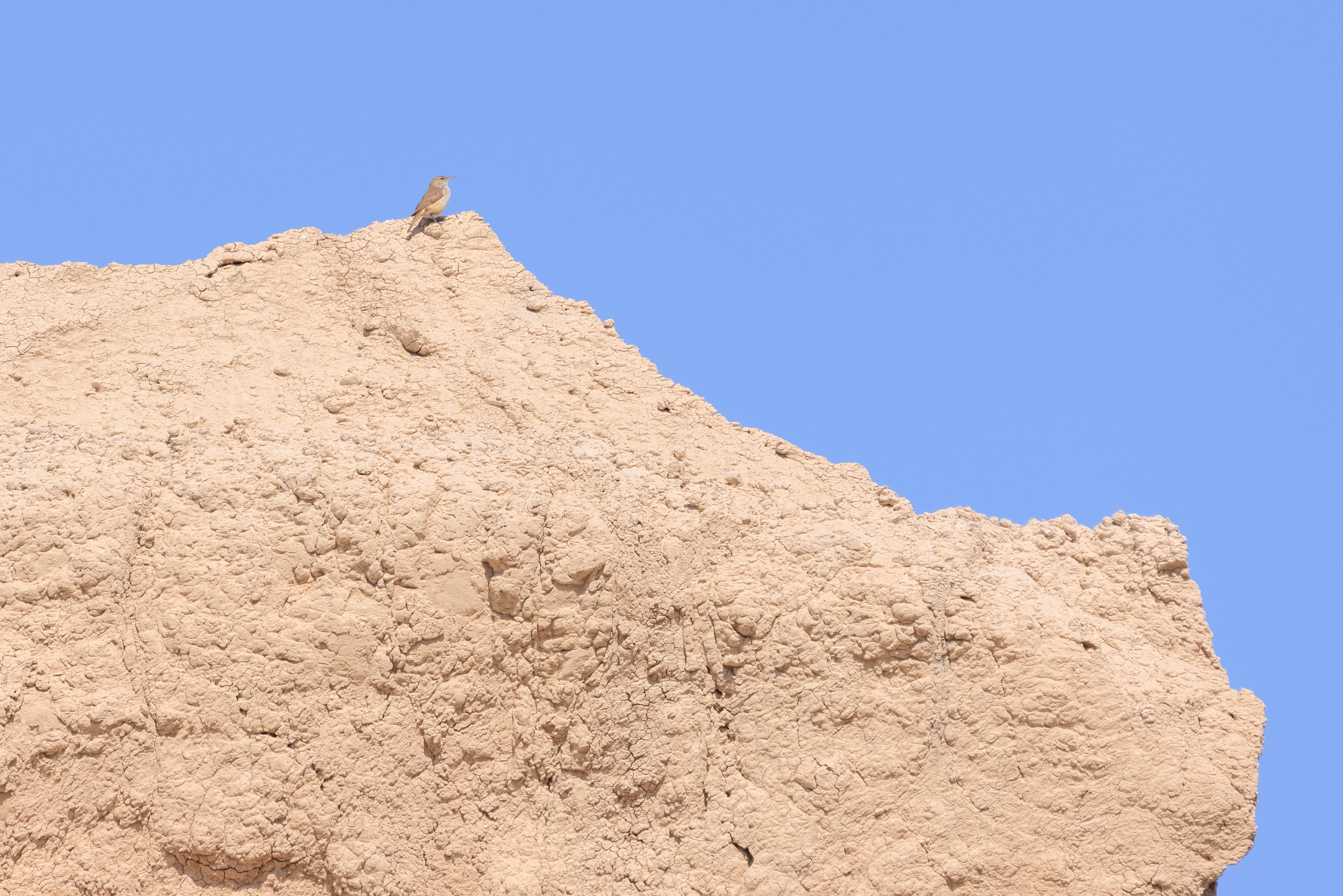
We also saw this bird that we haven’t seen before. It is a Rock Wren! We don’t have these back home! Unfortunately we only spotted this one from a distance.
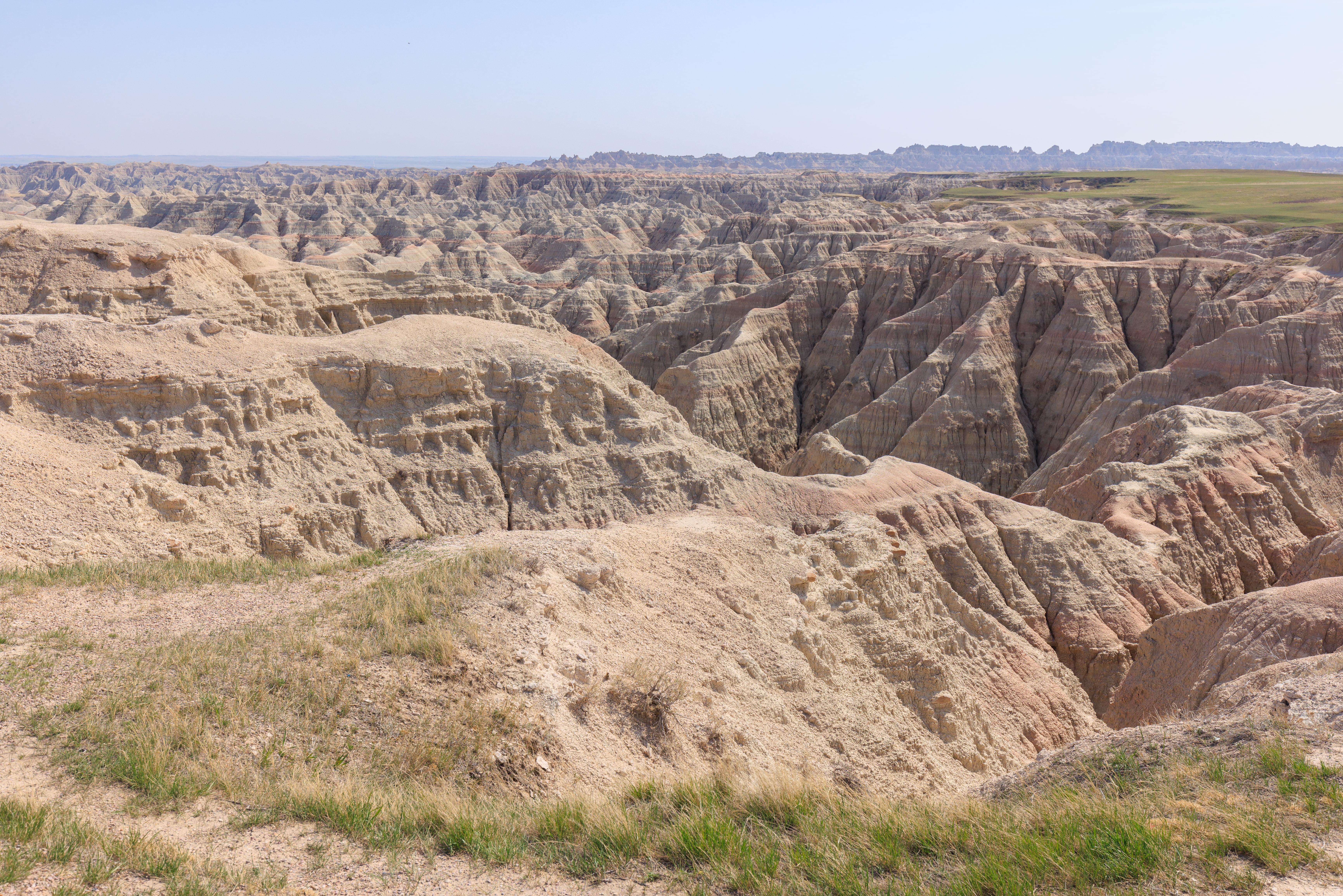
We continued onward to the very end of the rather short boardwalk. This is where the land transitions from regular ground to badlands terrain.
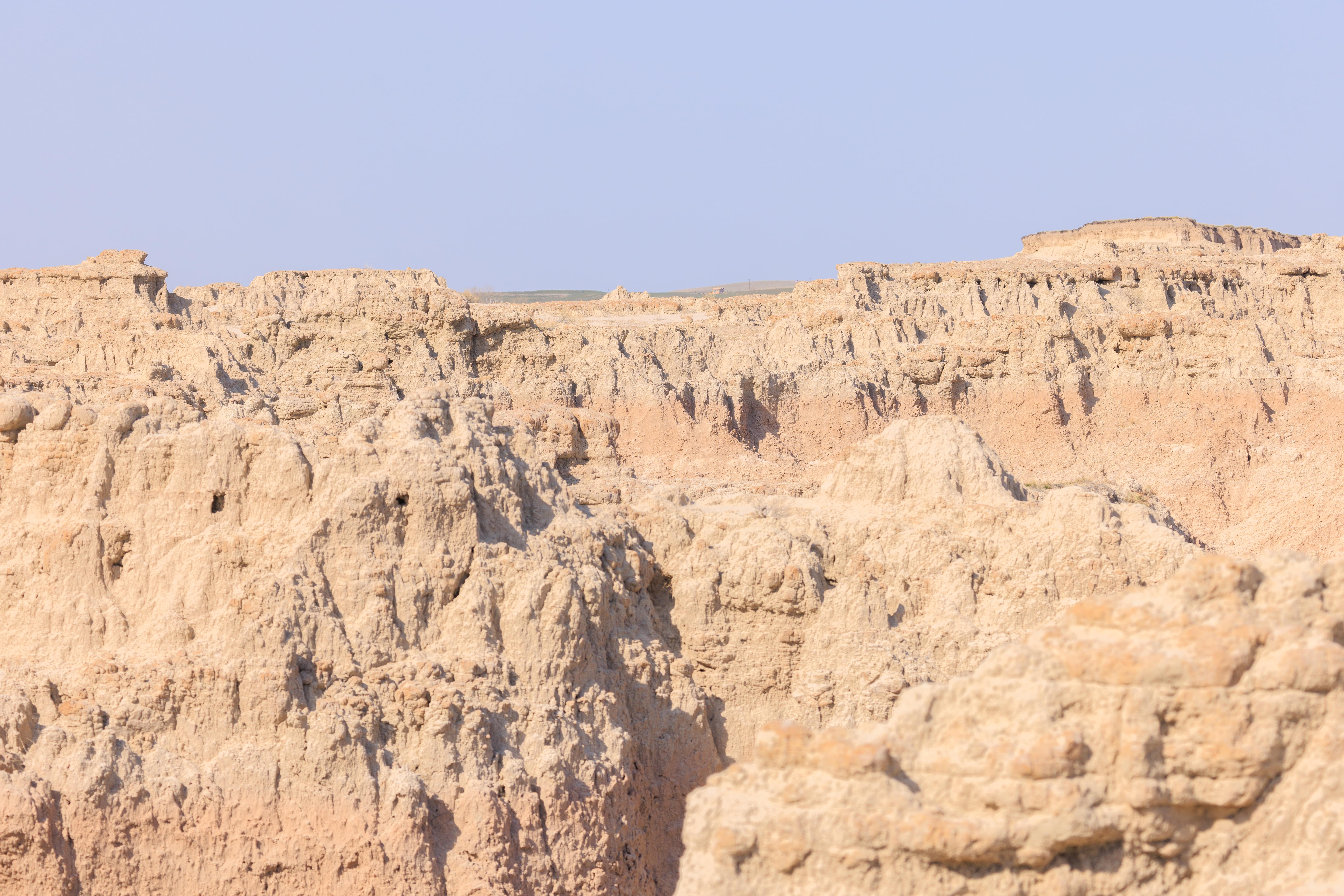
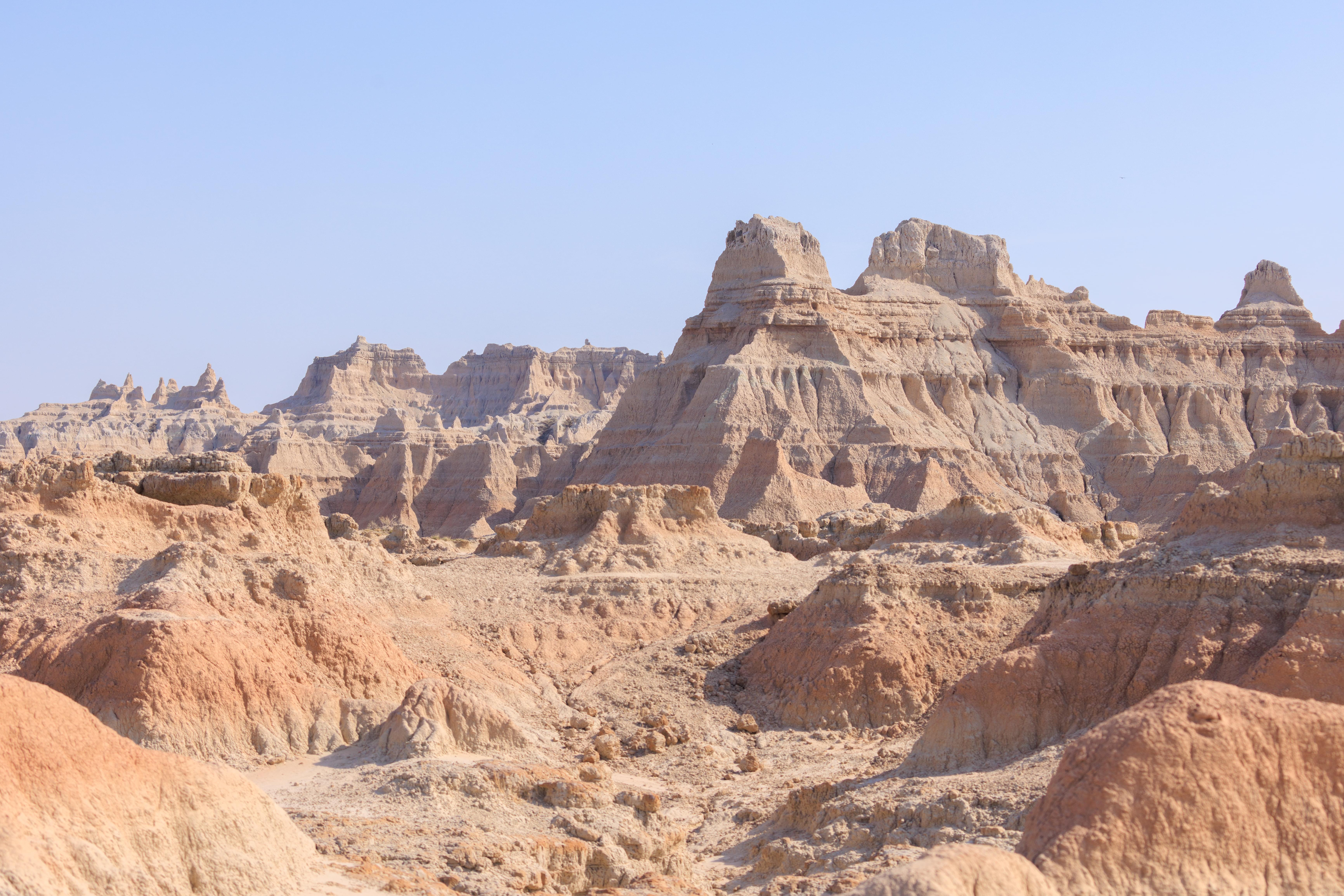
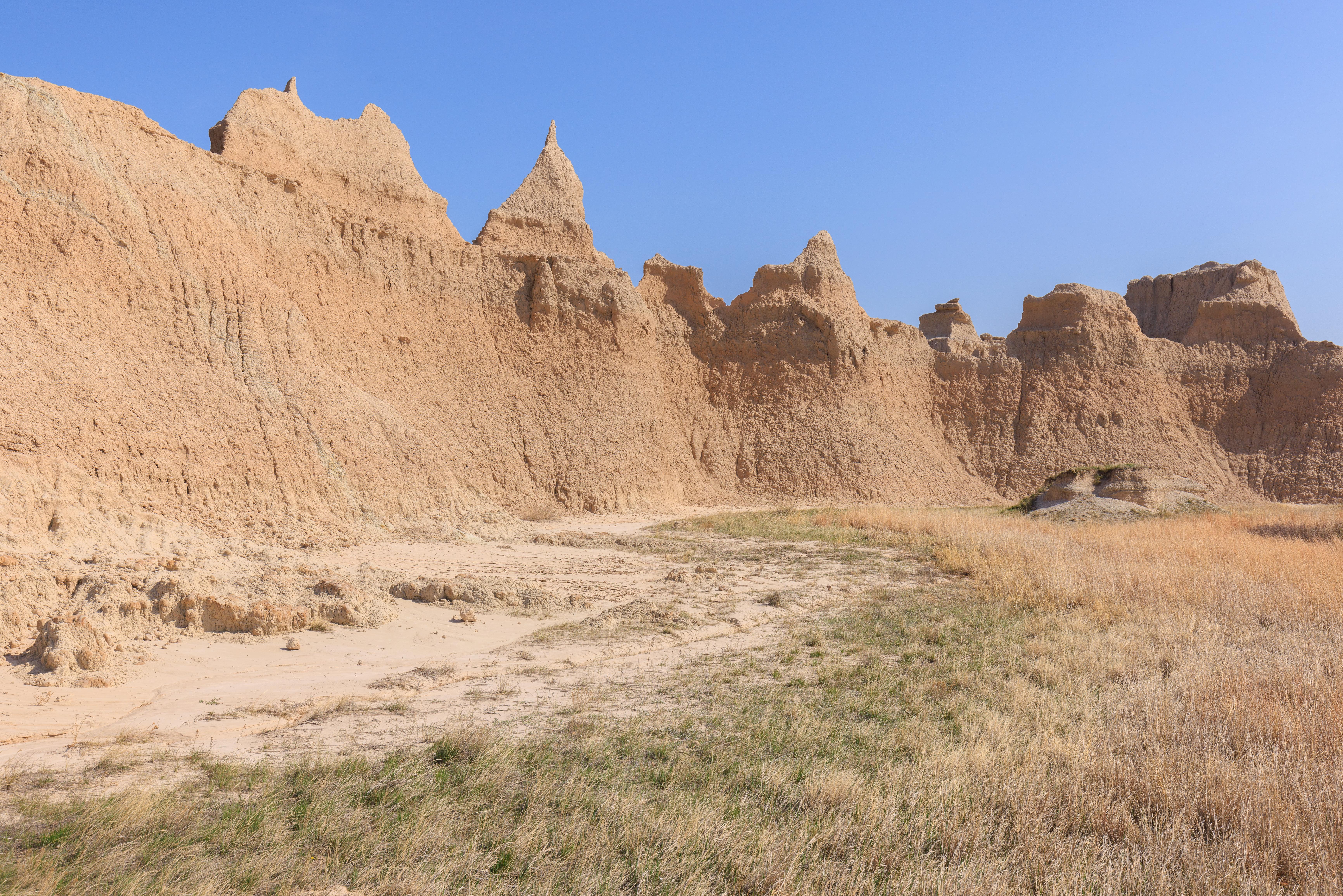
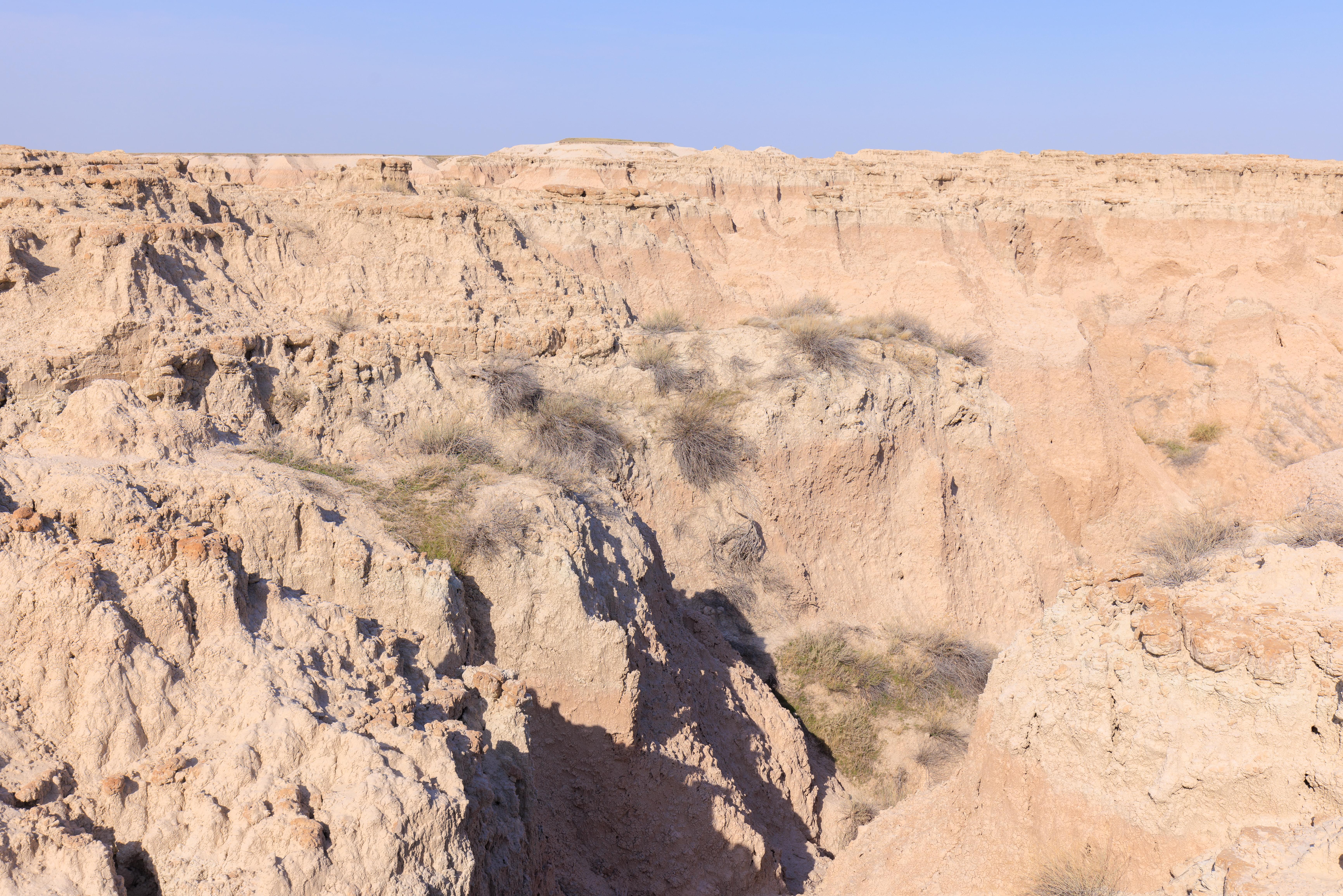
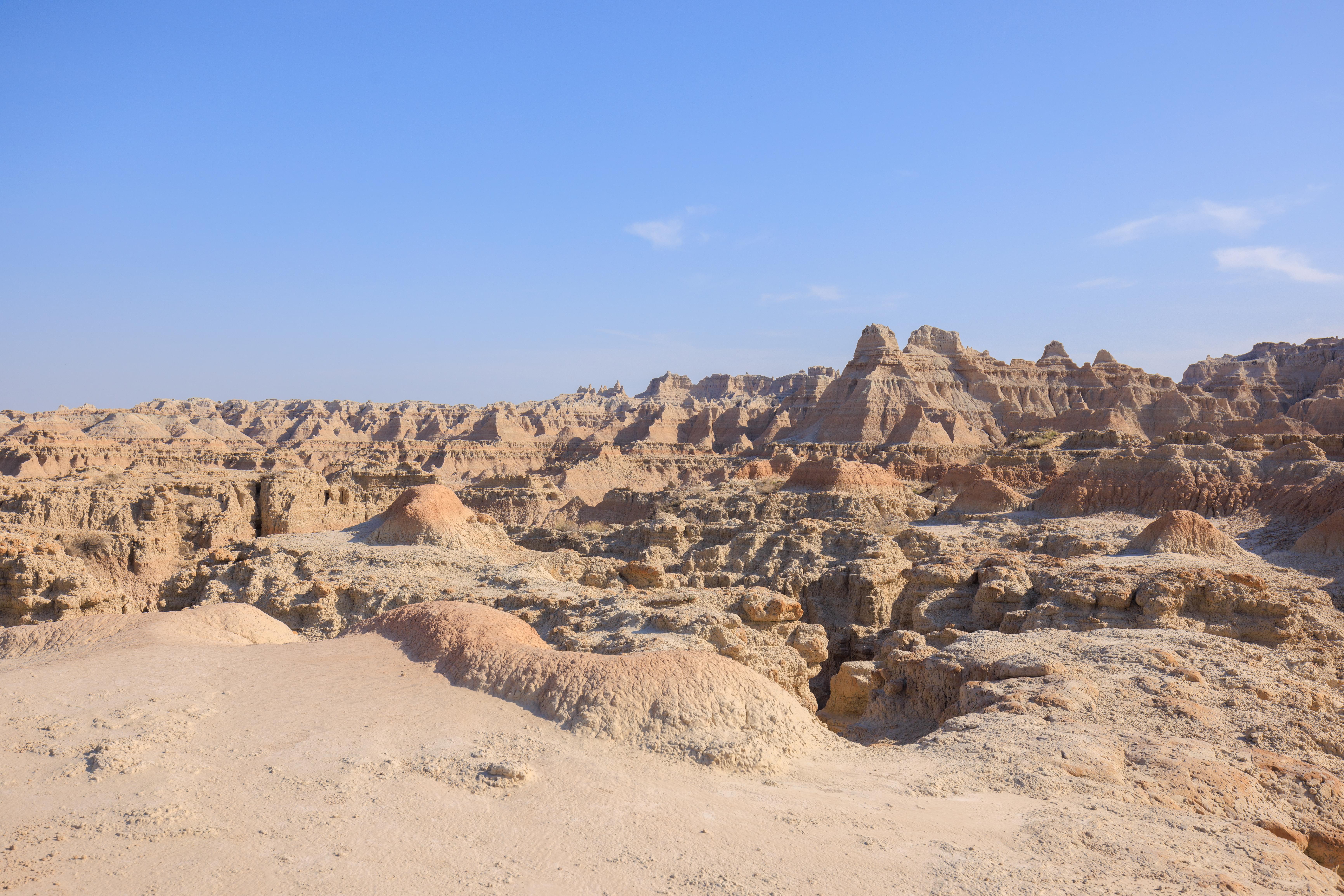
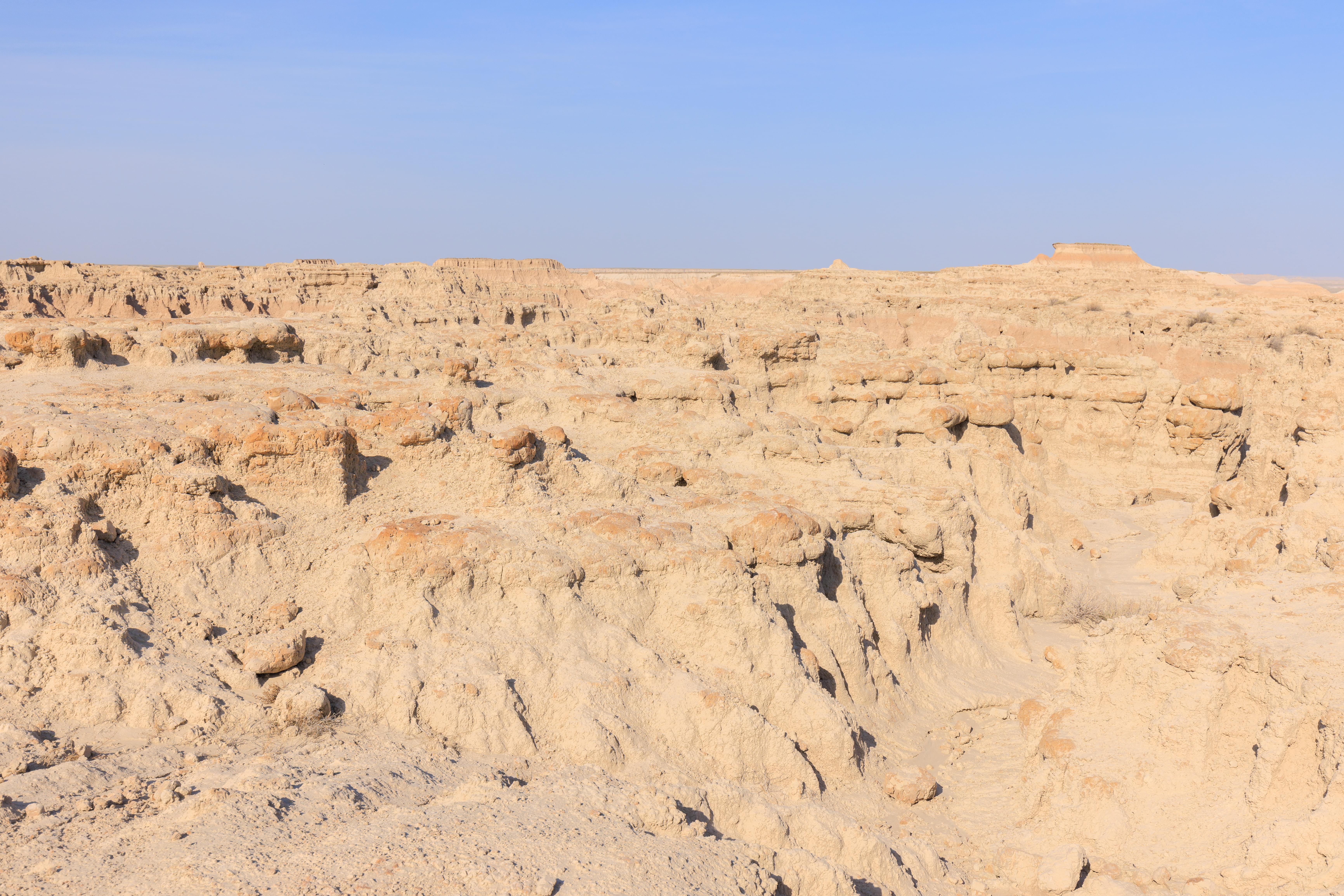
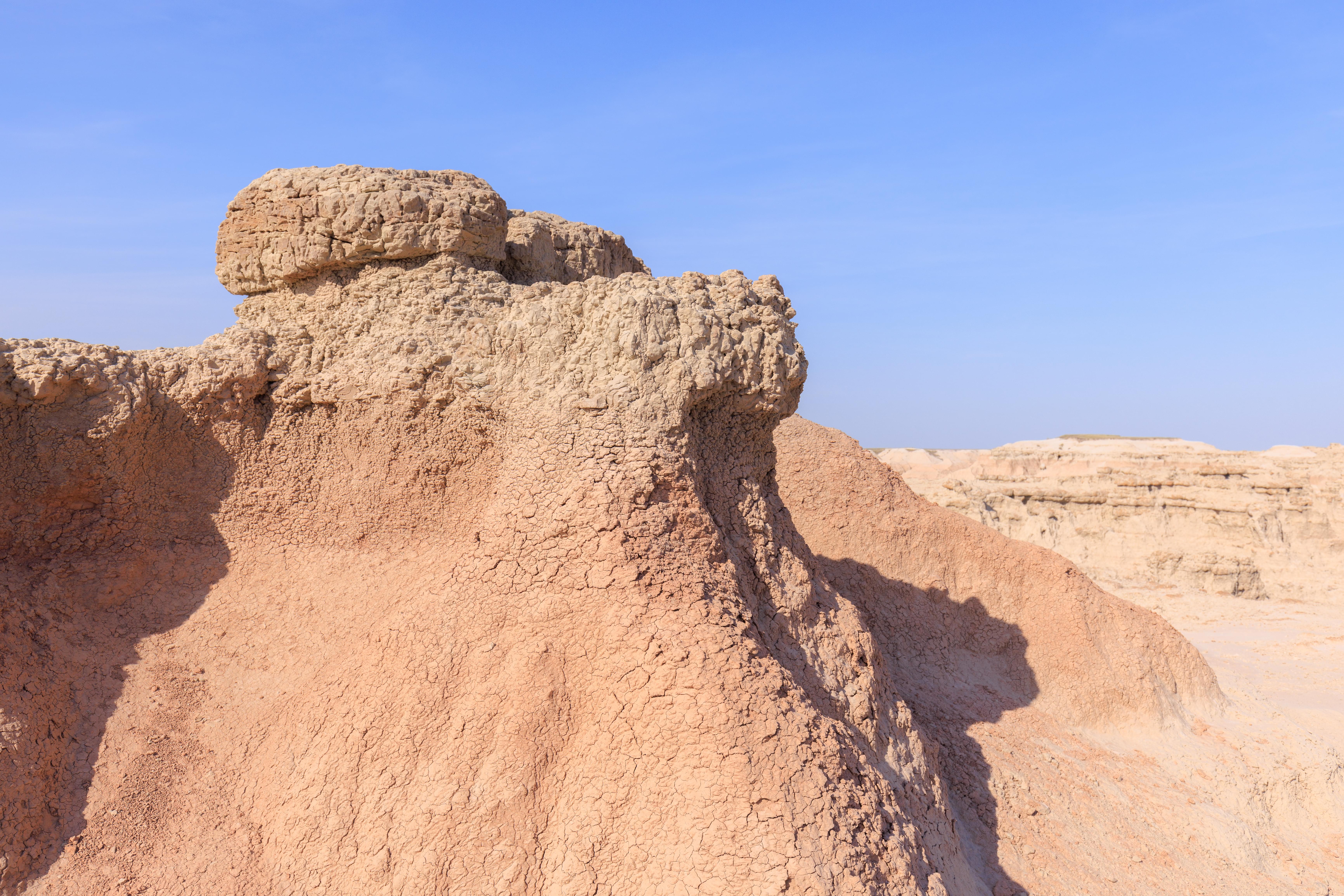
At the end of the boardwalk, there is a trail that goes through the badlands terrain. It is not very long, a quarter mile at most. Due to the terrain, it is marked by a series of yellow posts drilled into the ground.
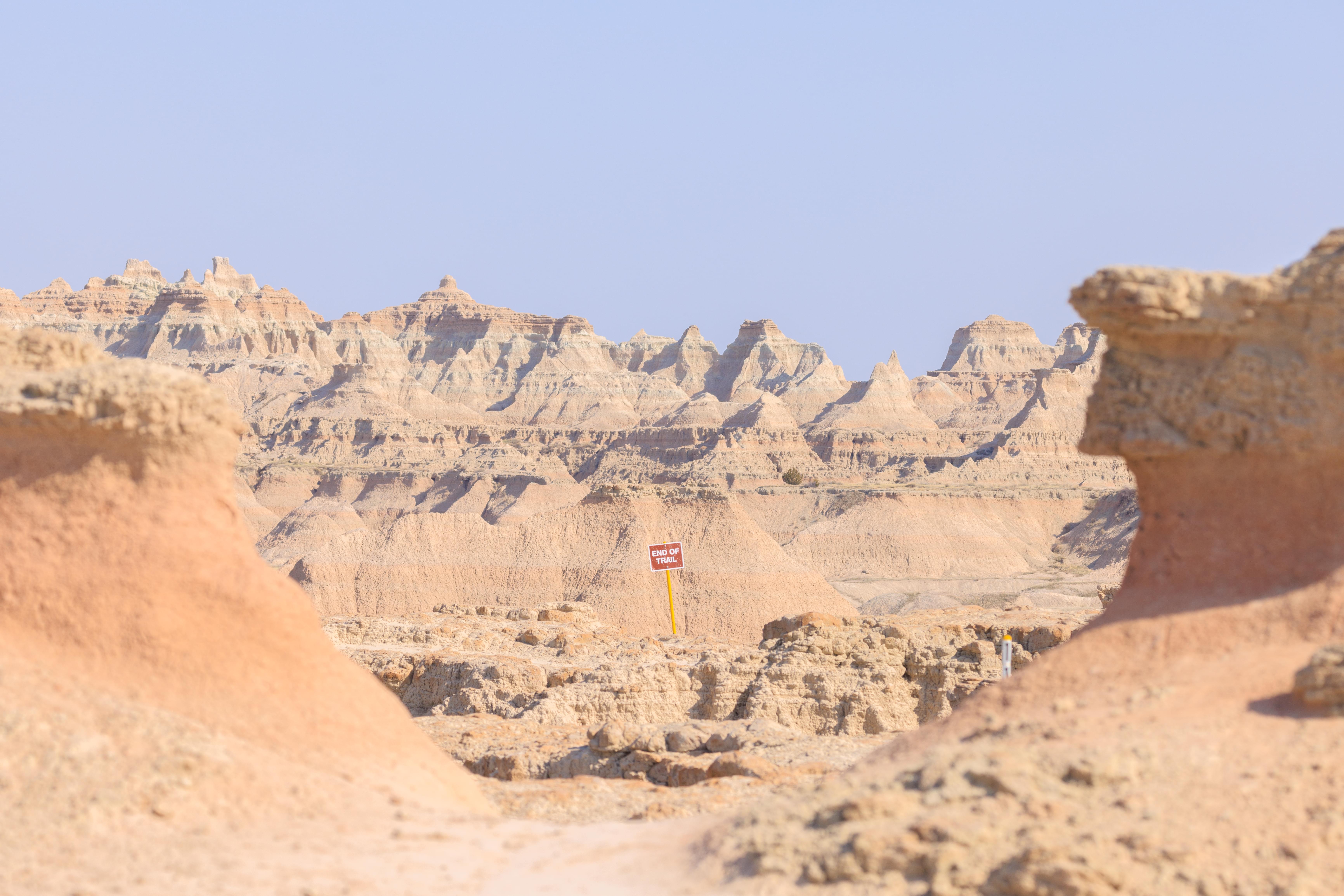
It wasn’t really clear how long this trail would be. It wasn’t very long based on OpenStreetMap data but OSM isn’t always accurate. This was our first sign, rather literally, of where the end of the trail was!
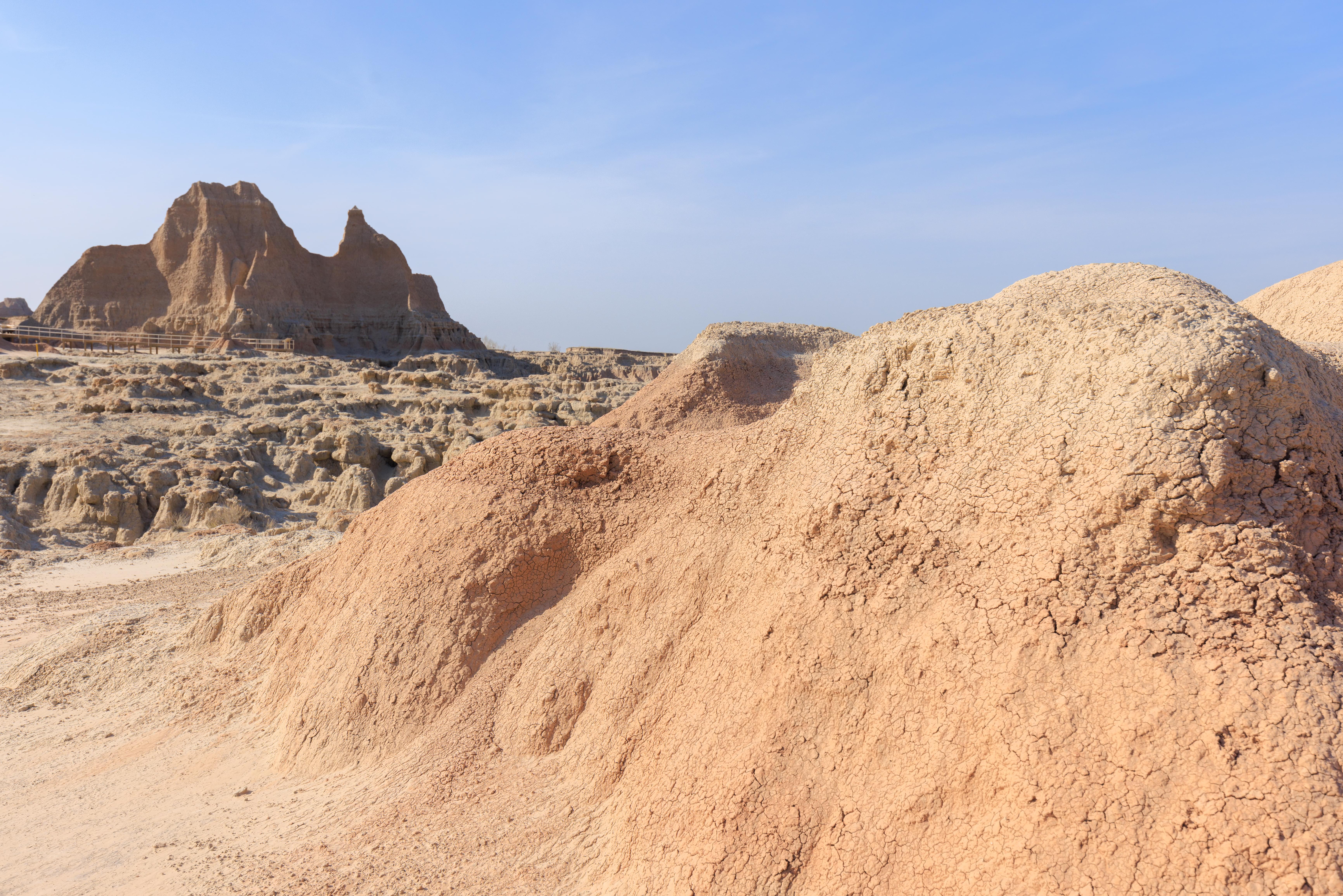
Like everywhere else, the views at the end of the trail were spectacular!
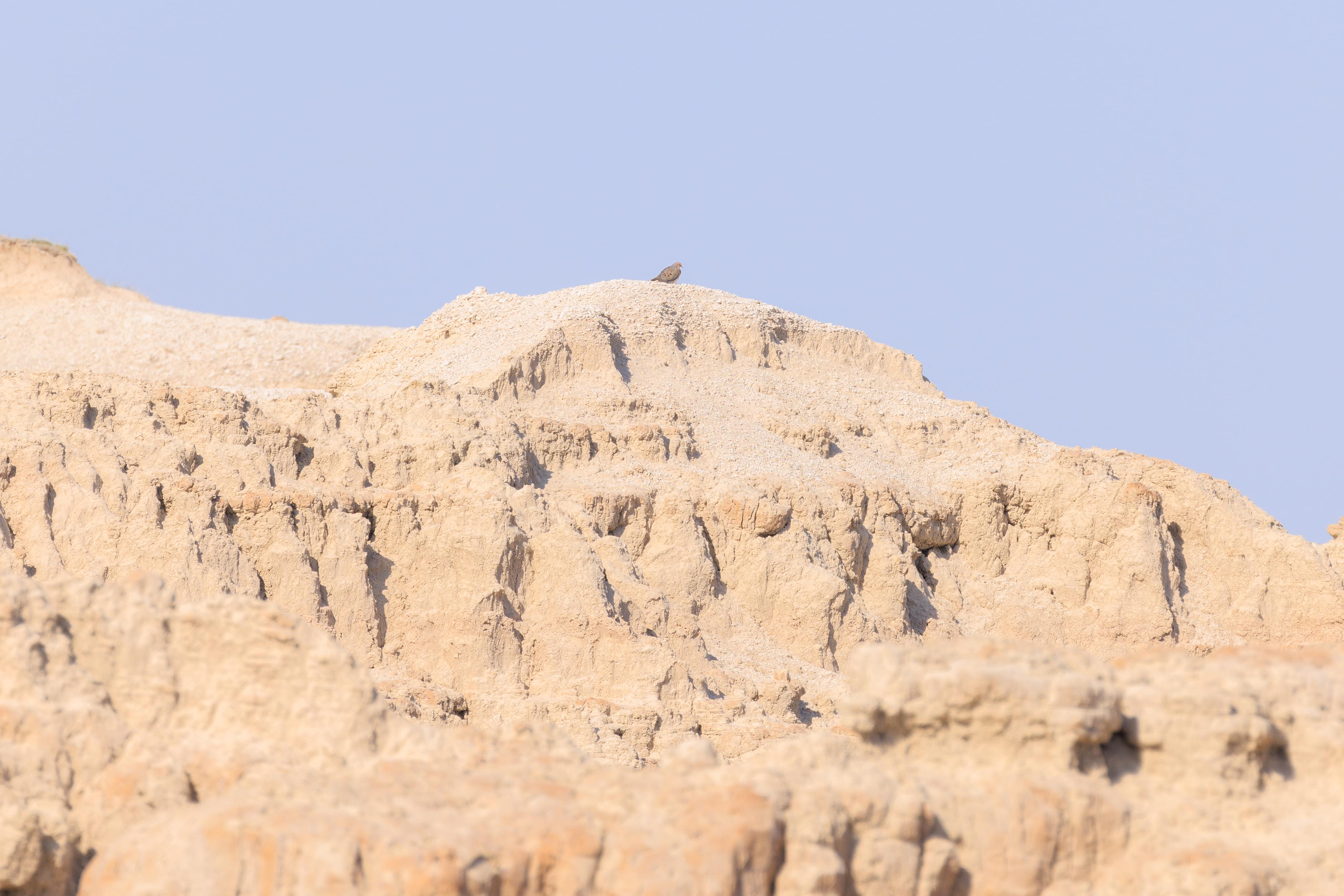
While walking along the the trail, and particularly at the very end, we heard what sounded like Mourning Doves. Well, it turns out that is what they were! We managed to photograph this one that was standing at the very top of a formation. It stayed there for the entire time we were at the trail’s end!
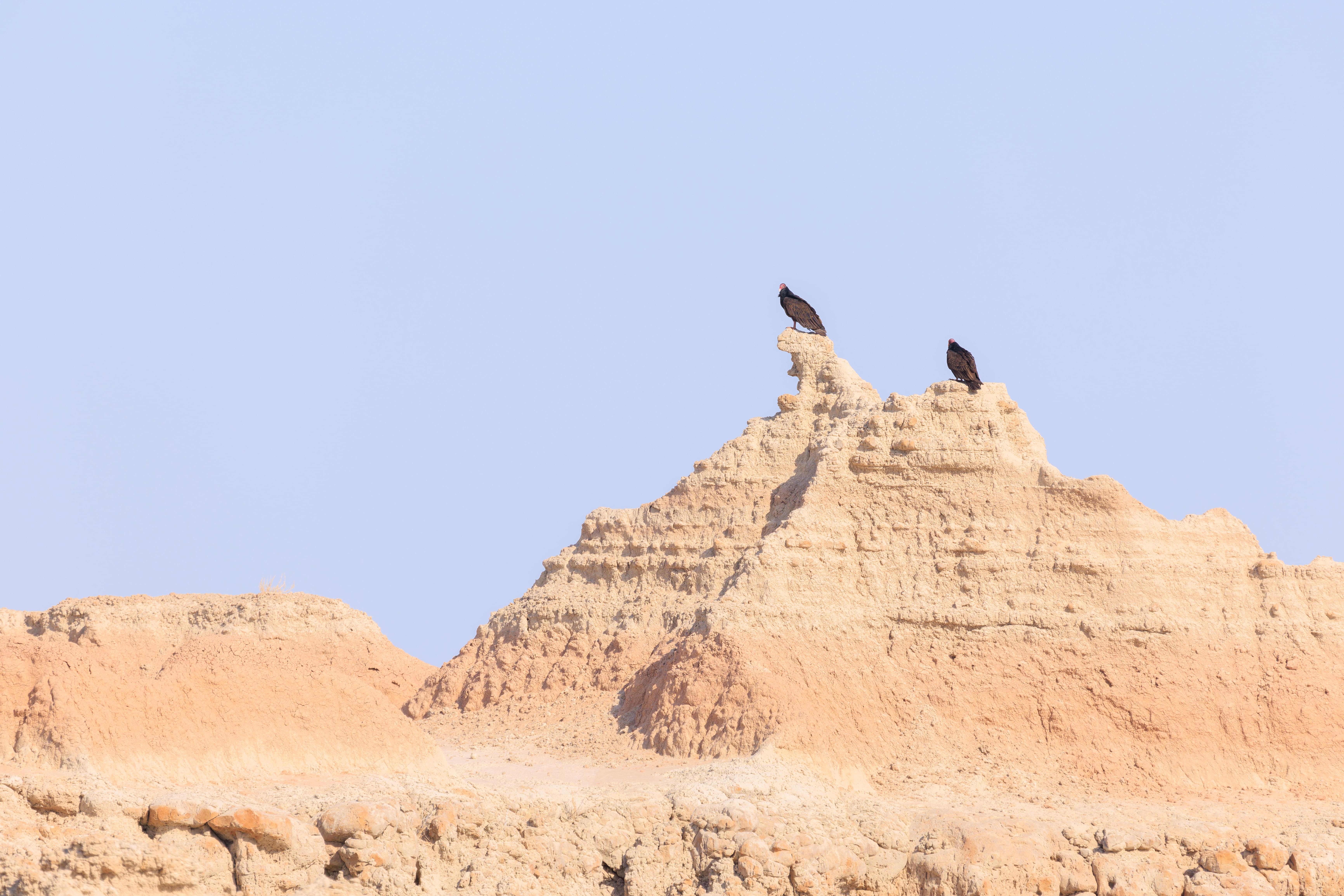
We saw some Turkey Vultures soaring up high. Two of them landed atop a formation in front of us!
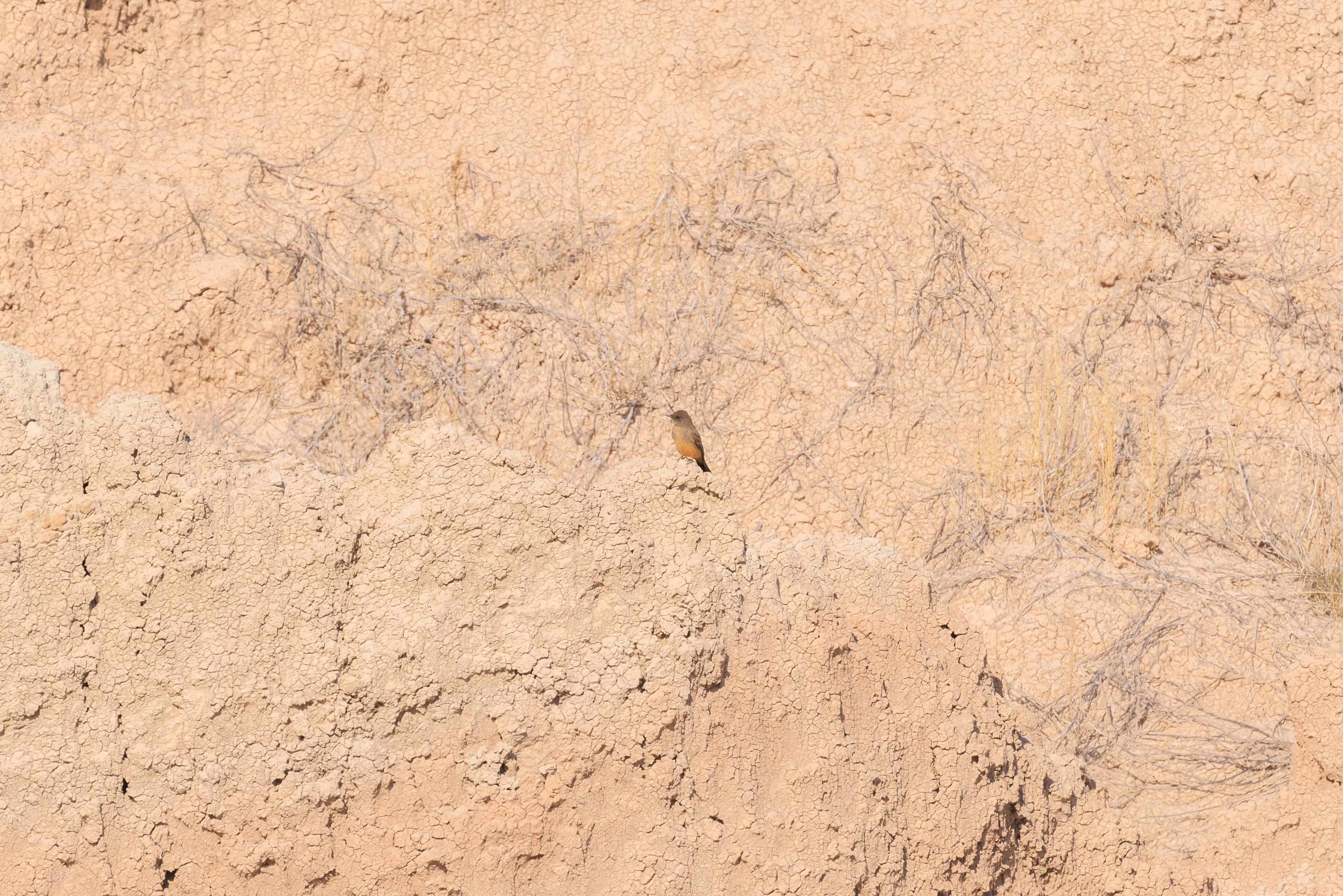
There were other birds at the end of the trail. They were fast moving and appeared to be trying to catch flying bugs. This one landed and stayed still for awhile. It was a Say’s Phoebe, a flycatcher!
We switched from our telephoto lens to the wide angle for the hike back. Sometimes, wide angle is much more difficult to use and this is one of those places.
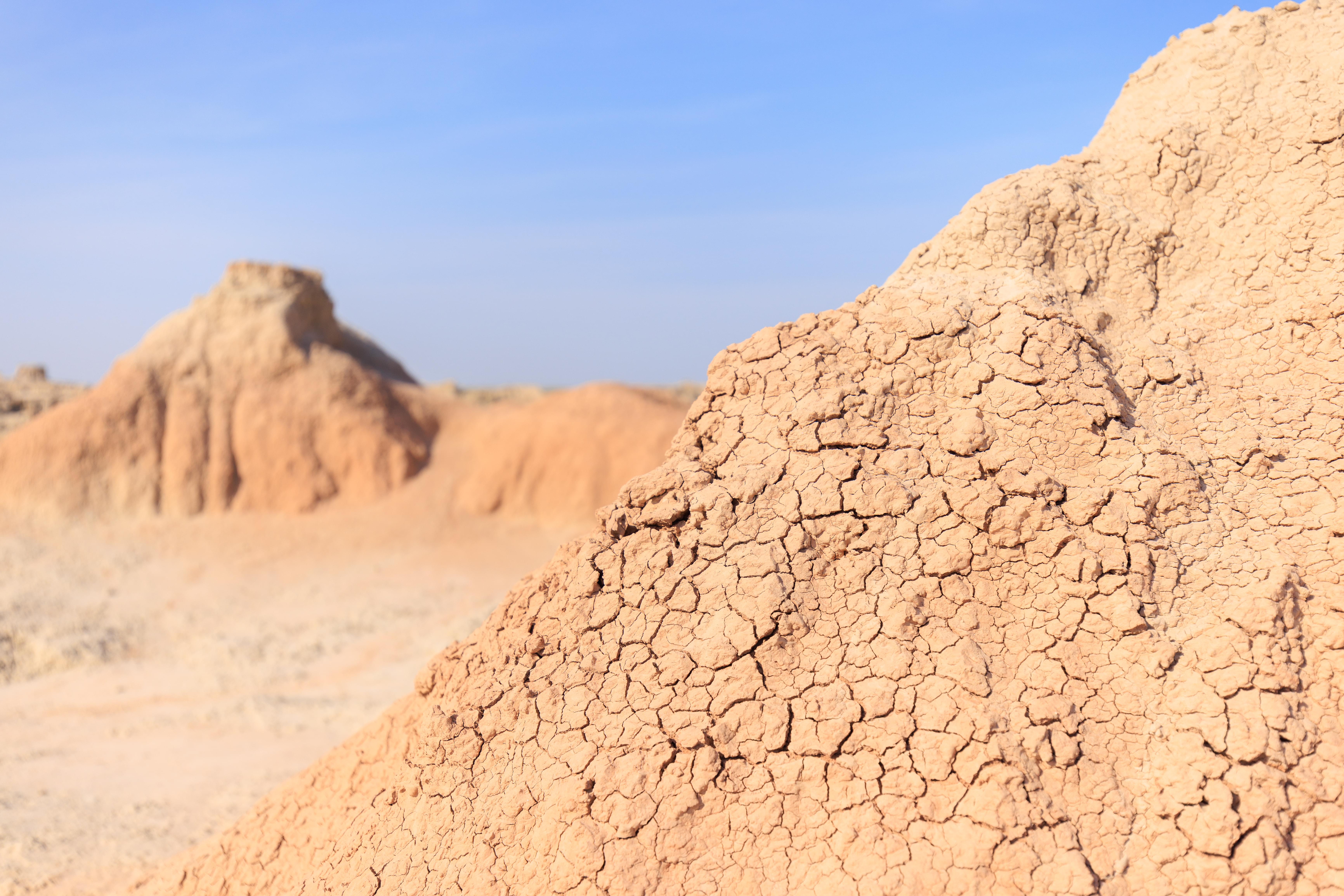
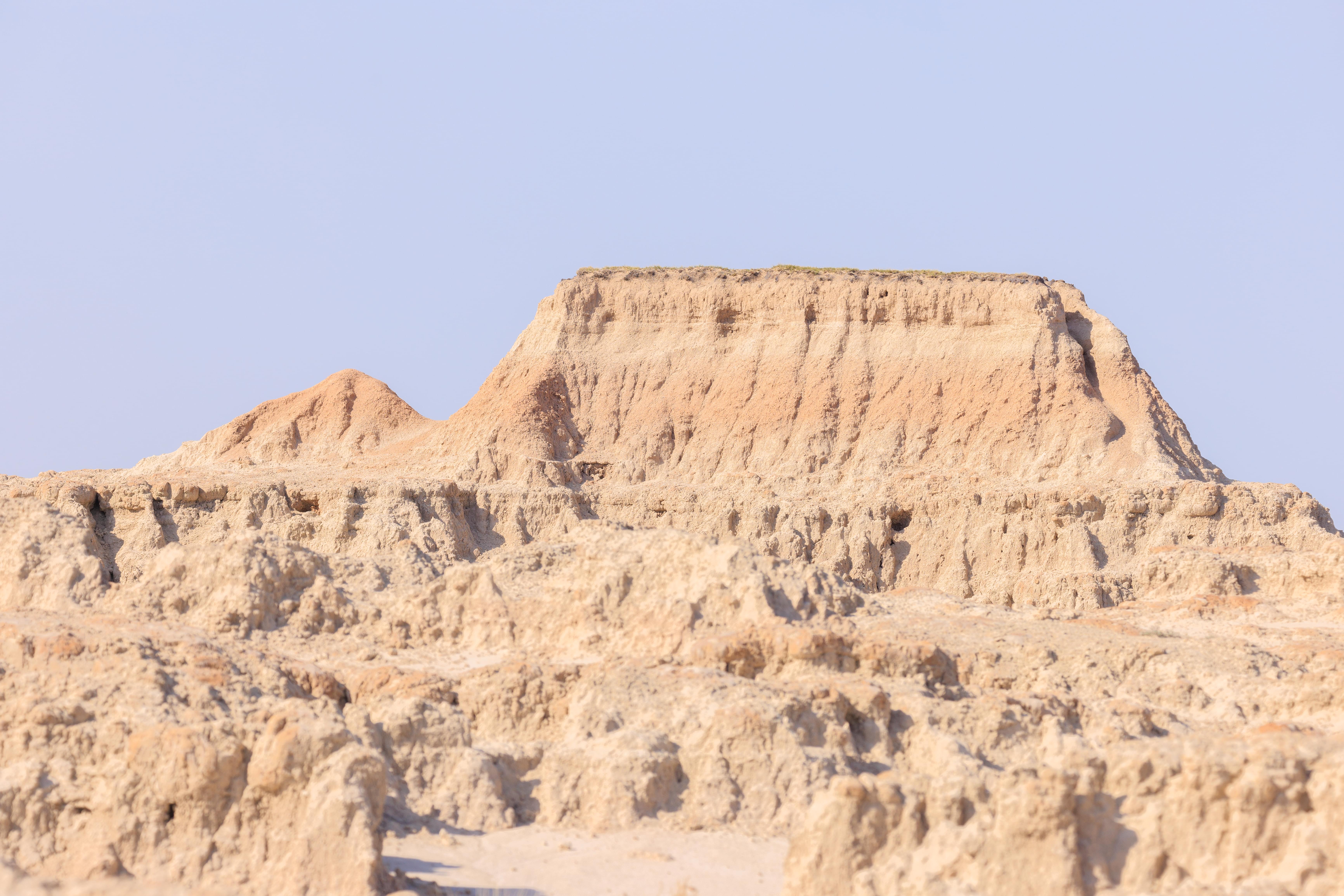
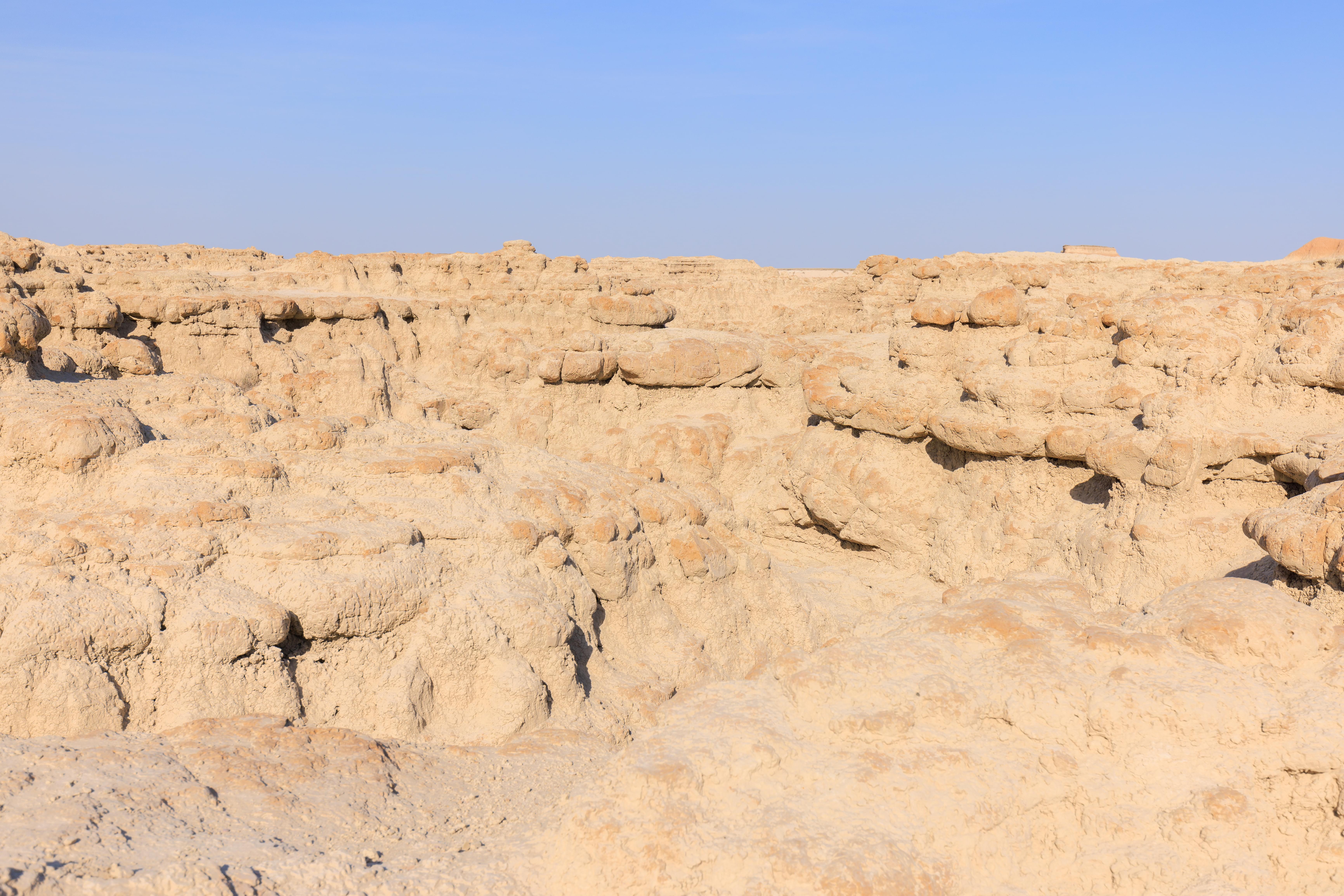
While it does rain here, and likely did last week when the region got some snow, it was very dry today. Some very interesting desert-like textures on many of the landscape features!
Cliff Shelf Nature Trail
Our next stop was the Cliff Shelf Nature Trail, a loop trail about a mile or so to the south of the Door Trail.
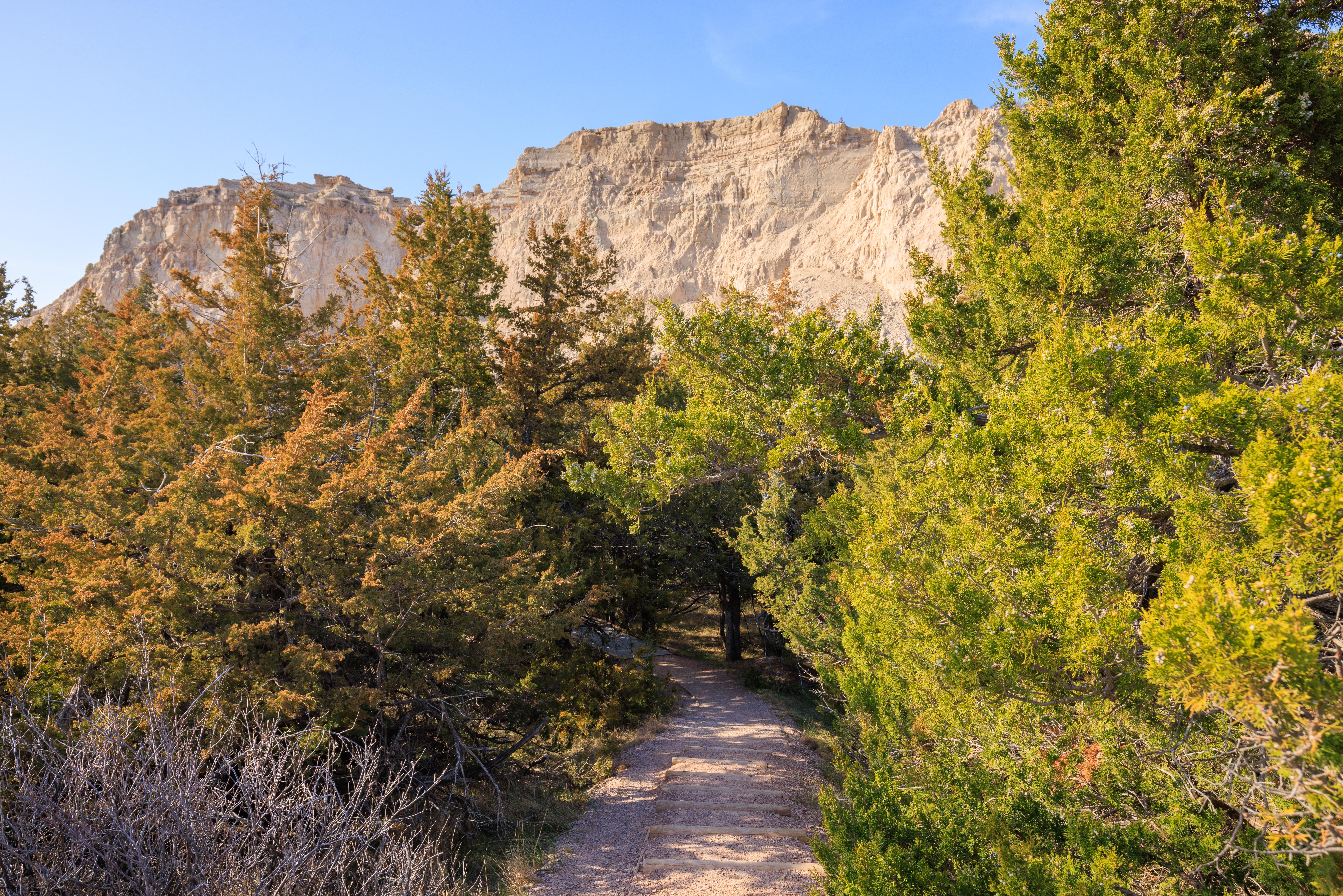
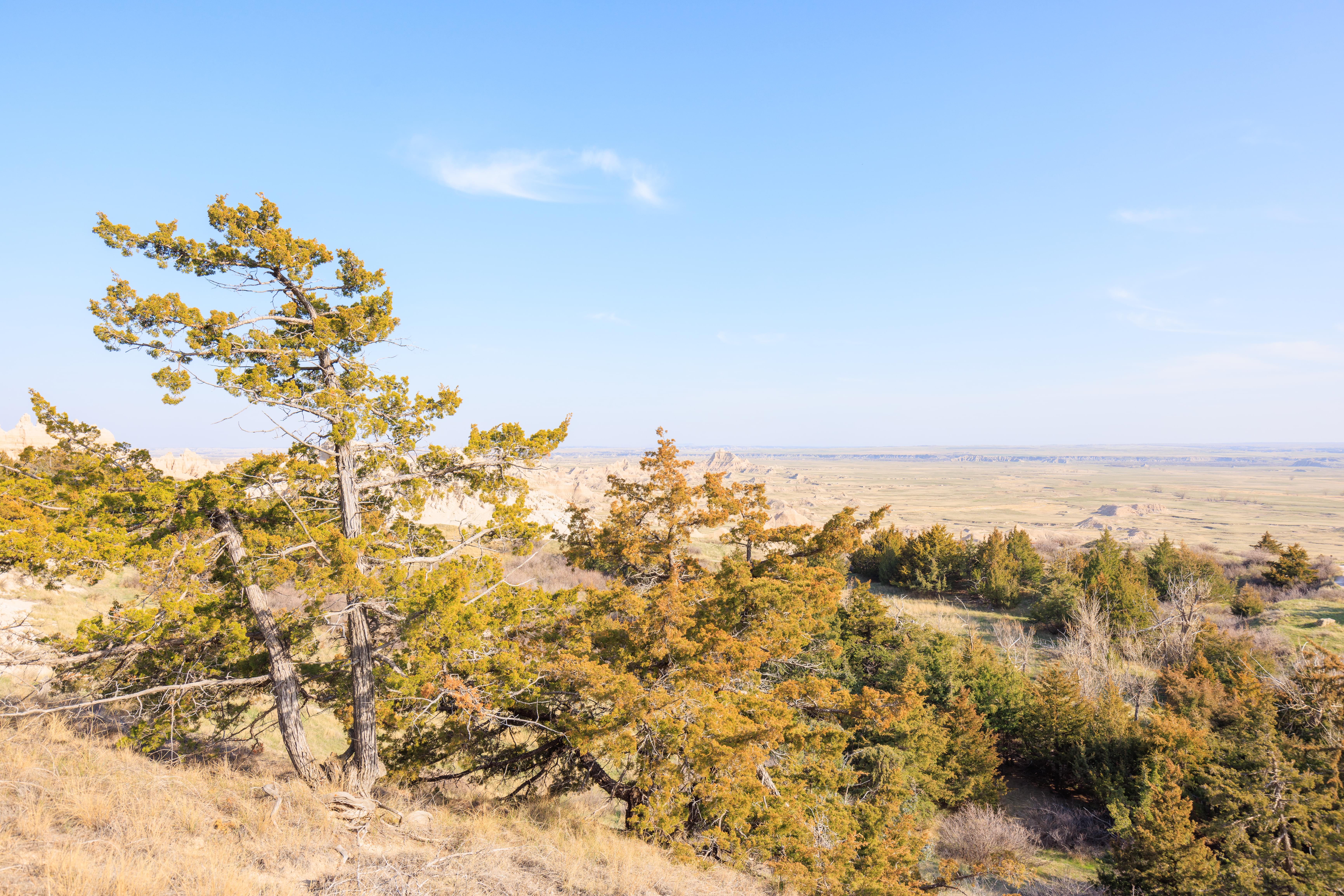
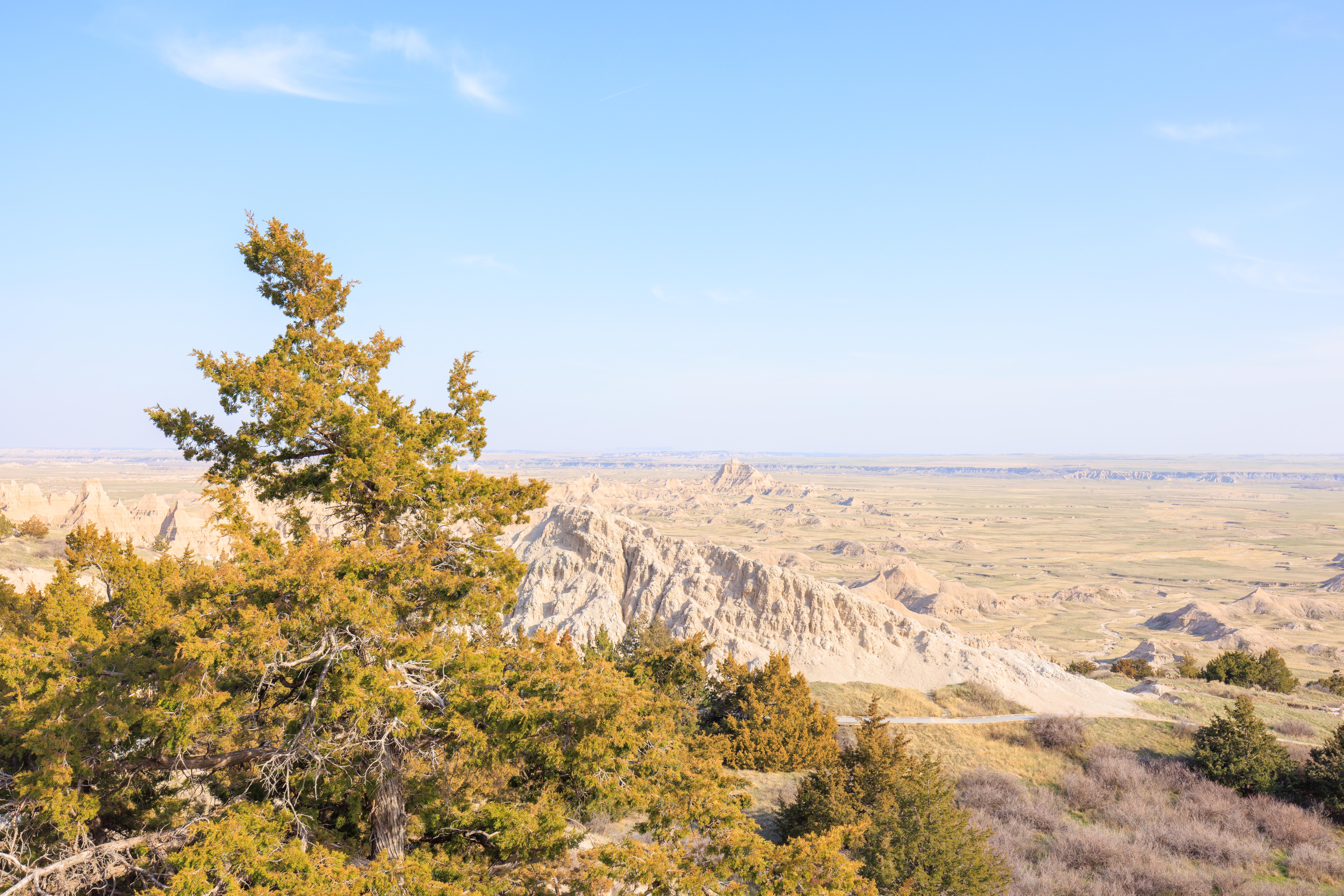
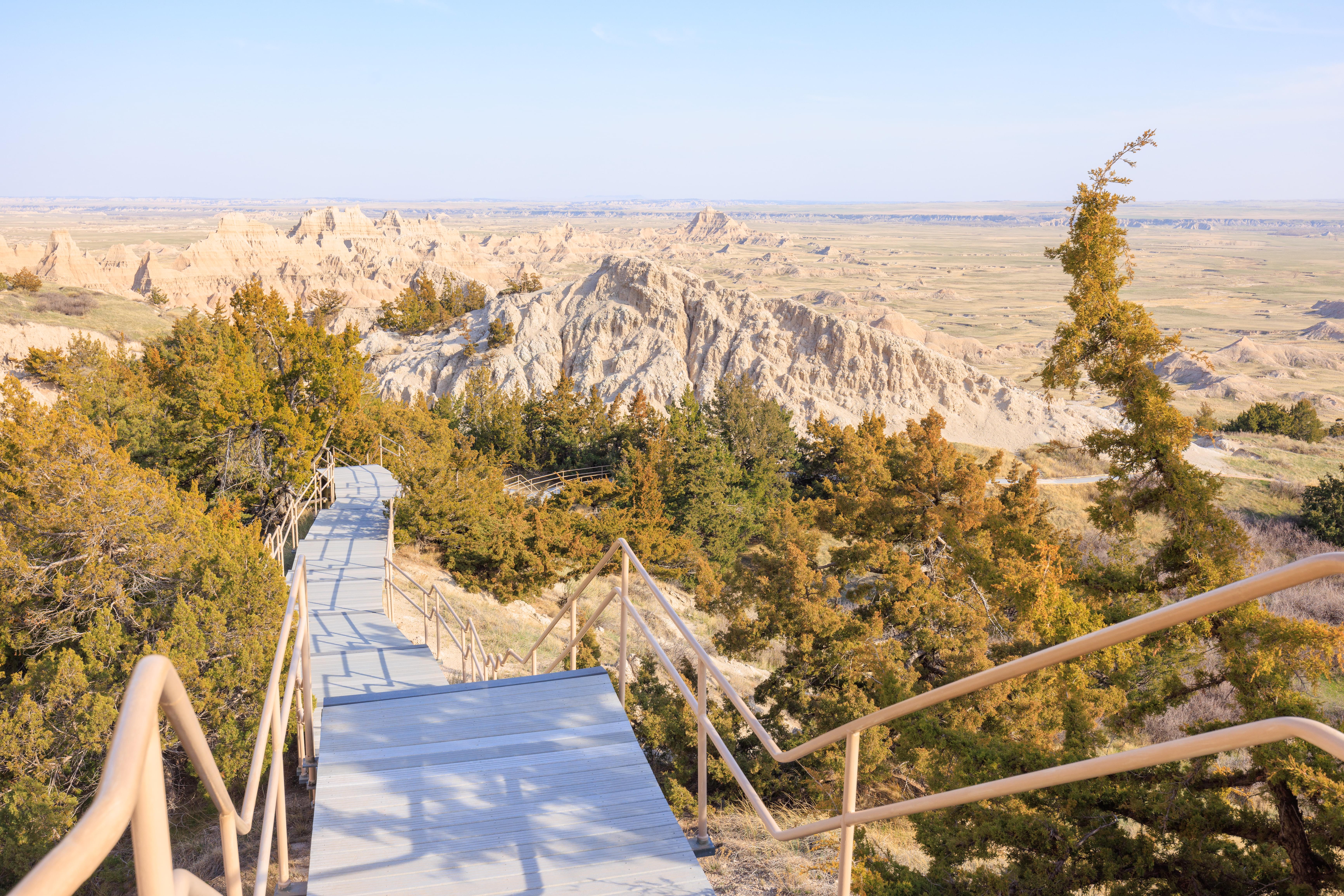
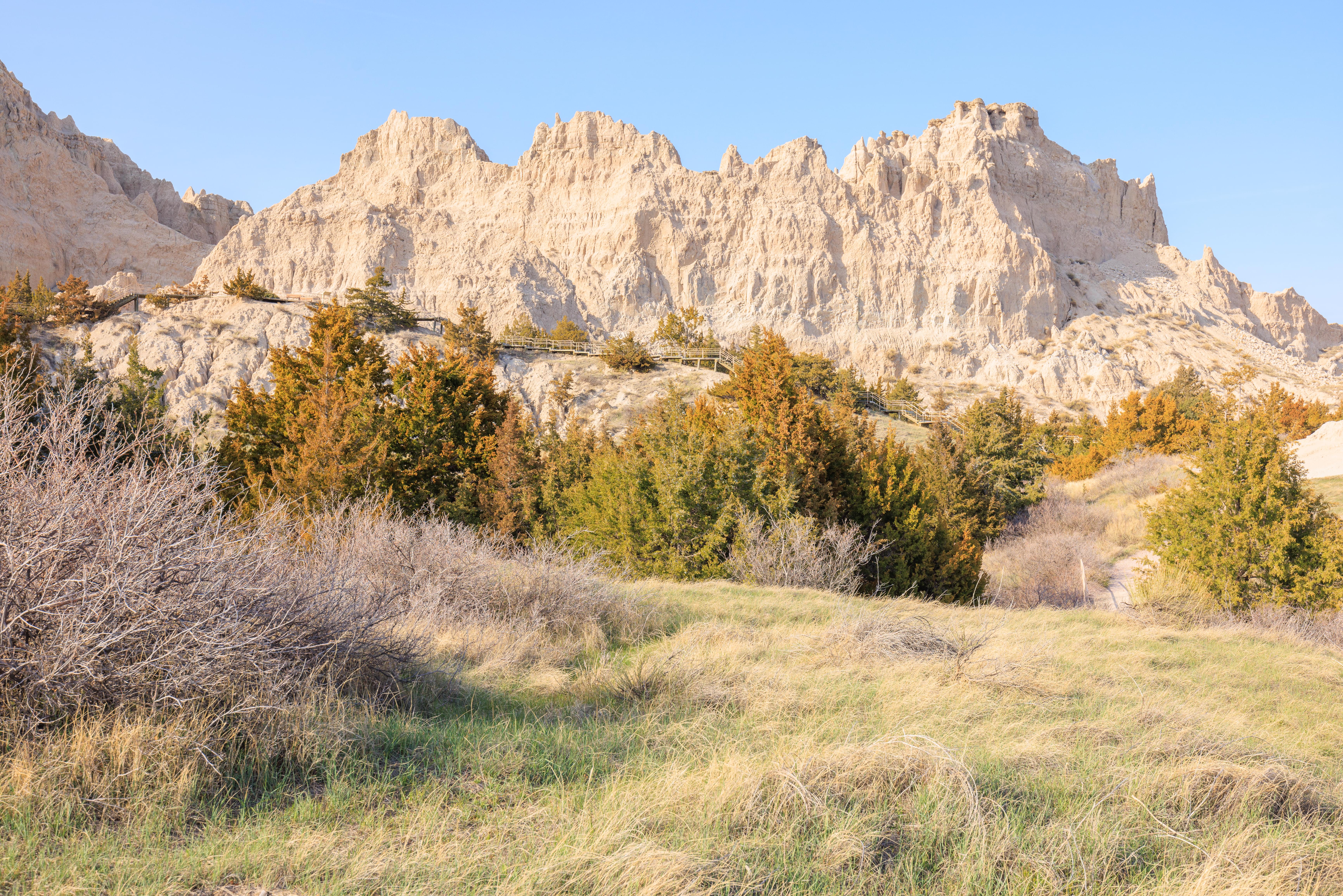
This loop follows boardwalks and climbs stairs through a juniper forest perched along the Badlands wall. Abundant shade is provided by the junipers and a small pond occasionally exists in the area, which attracts local wildlife. The trail has some boardwalks and stairs, which climb approximately 200 feet in elevation.
Cliff Shelf Trailhead, National Park Service