

We headed right into Acadia National Park this morning, focusing on the area directly south of Bar Harbor. Many of the park roads are closed due to the winter season but all the coastline spots are easily visited by either driving or hiking. We ended up visiting many coastal locations from Schooner Head down to Otter Point. It was a dark, wet, and gloomy day today and the appearance of our photos reflect that!
Schooner Head Overlook
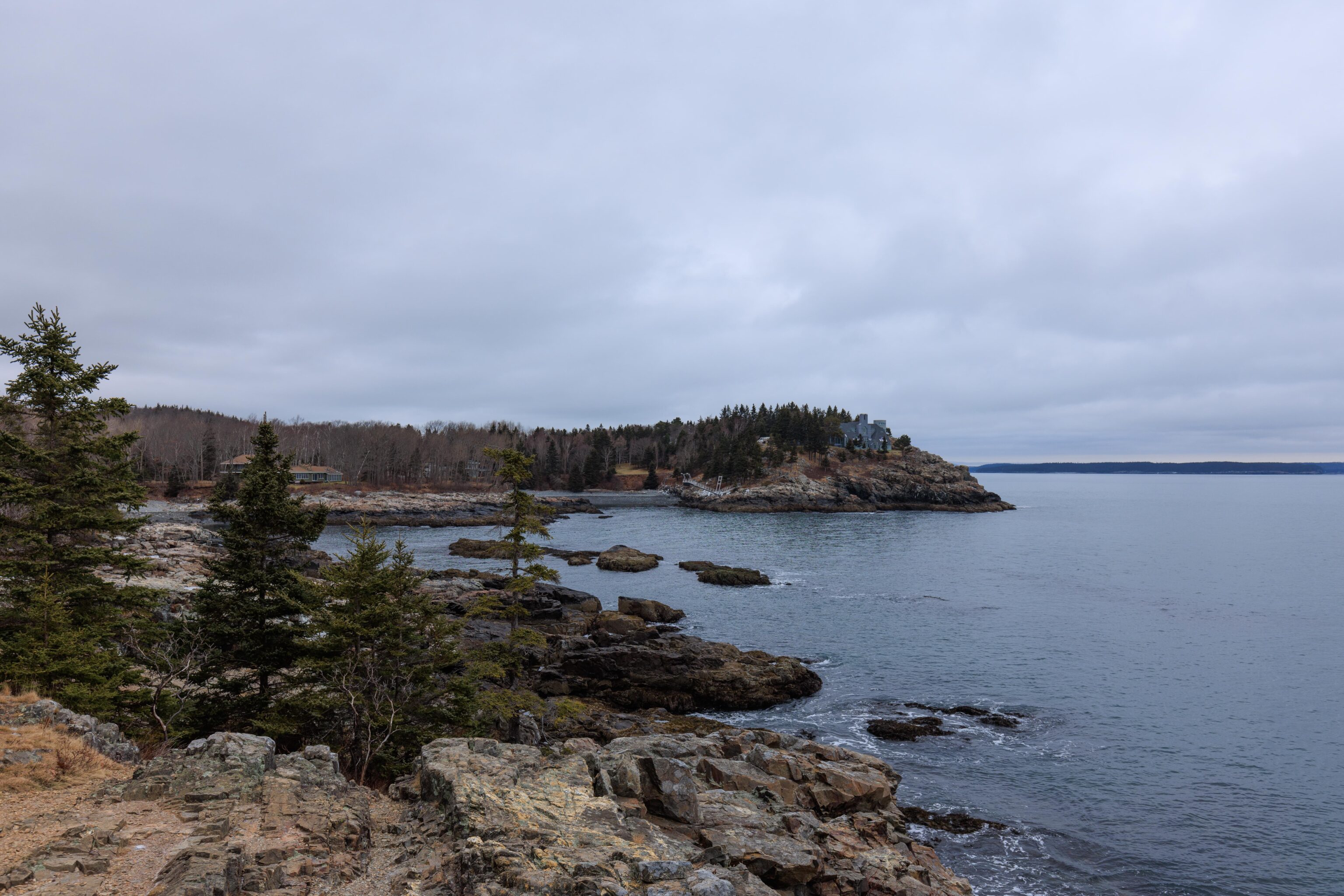
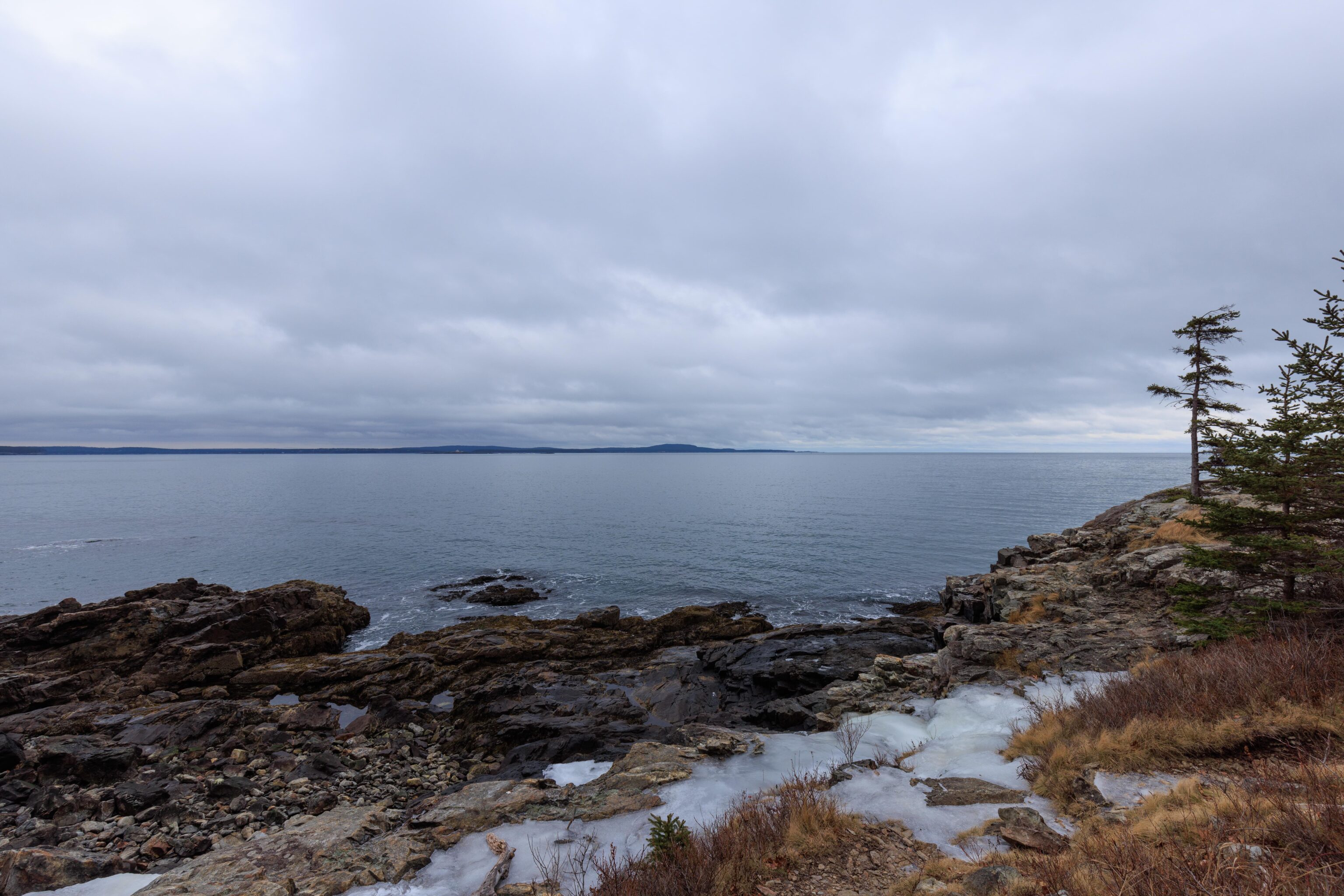
Schooner Head apparently refers to the point of land populated by mansions to the north of the overlook. There is a trail that leads down from the overlook towards Schooner Head. We followed the trail most of the way down but stopped when it started looking rather sketchy due to some heavy accumulations of ice. It looks like normally it is possible to keep going, perhaps to leading all the way to the beaches in front of the mansions. One particularly huge mansion is visible at the very end of Schooner Head.
The internet has various explanations for Schooner Head’s name. They all are mostly some variation of some rock formation looking like the sail of a schooner. The Visit Acadia website has an amusing story which sounds too much like the TV commercial with the US carrier vs. a lighthouse. Whatever the reason, this wasn’t one of those spots where you look at it and the reason for the name becomes immediately clear.
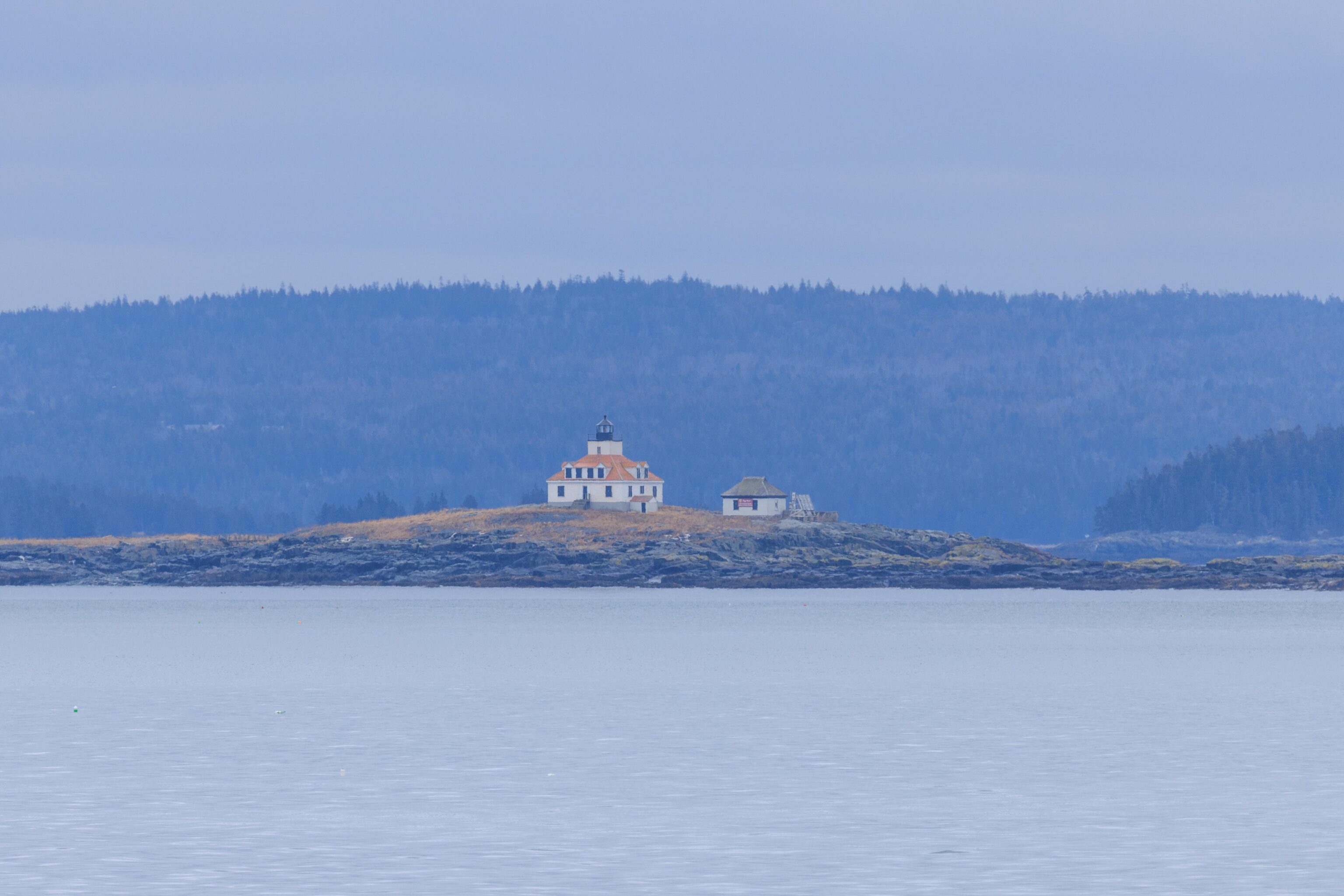
This lighthouse is visible from the Schooner Head Overlook. Its close enough to be identified as a lighthouse but too far away to get any detail without an extreme telephoto lens.
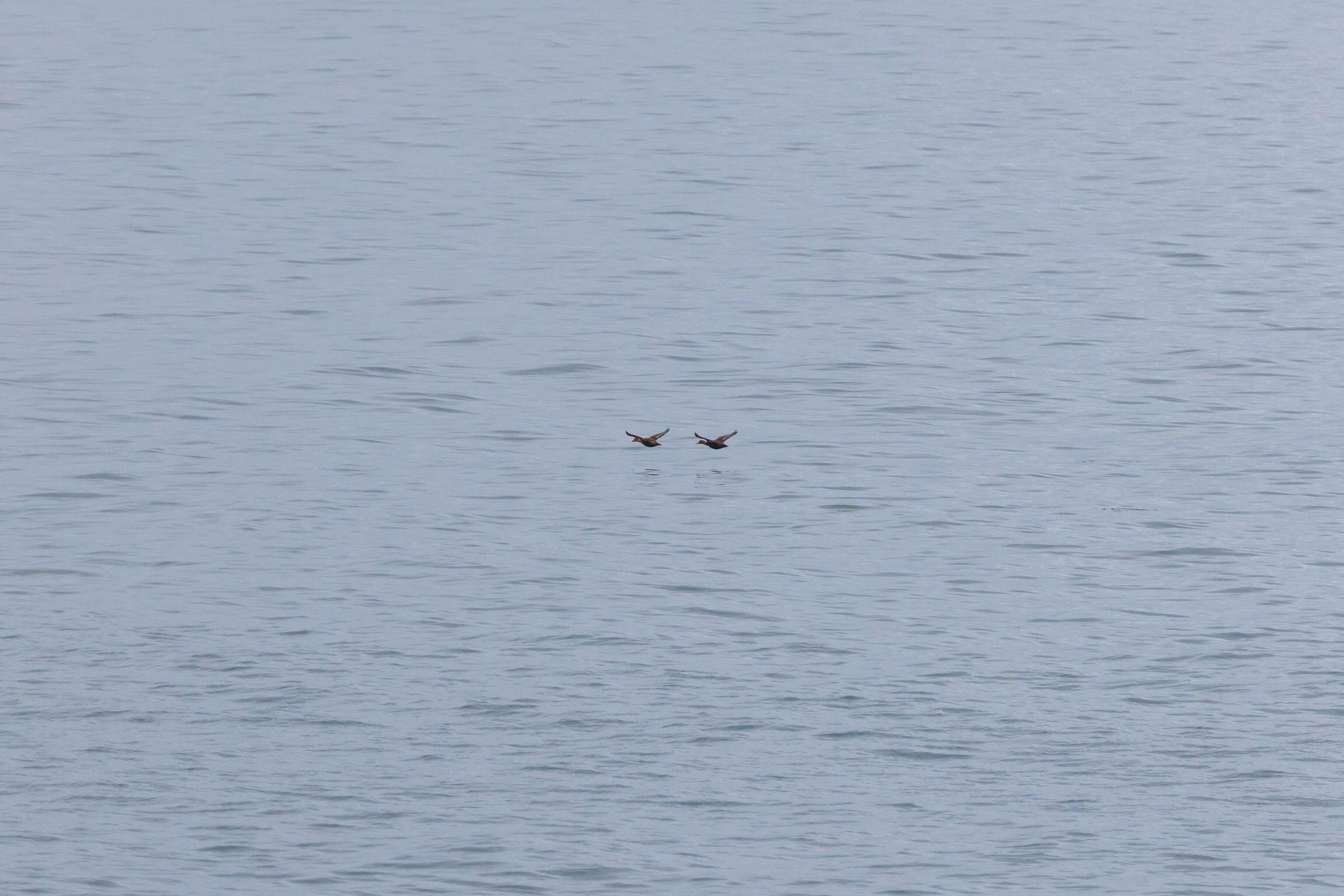
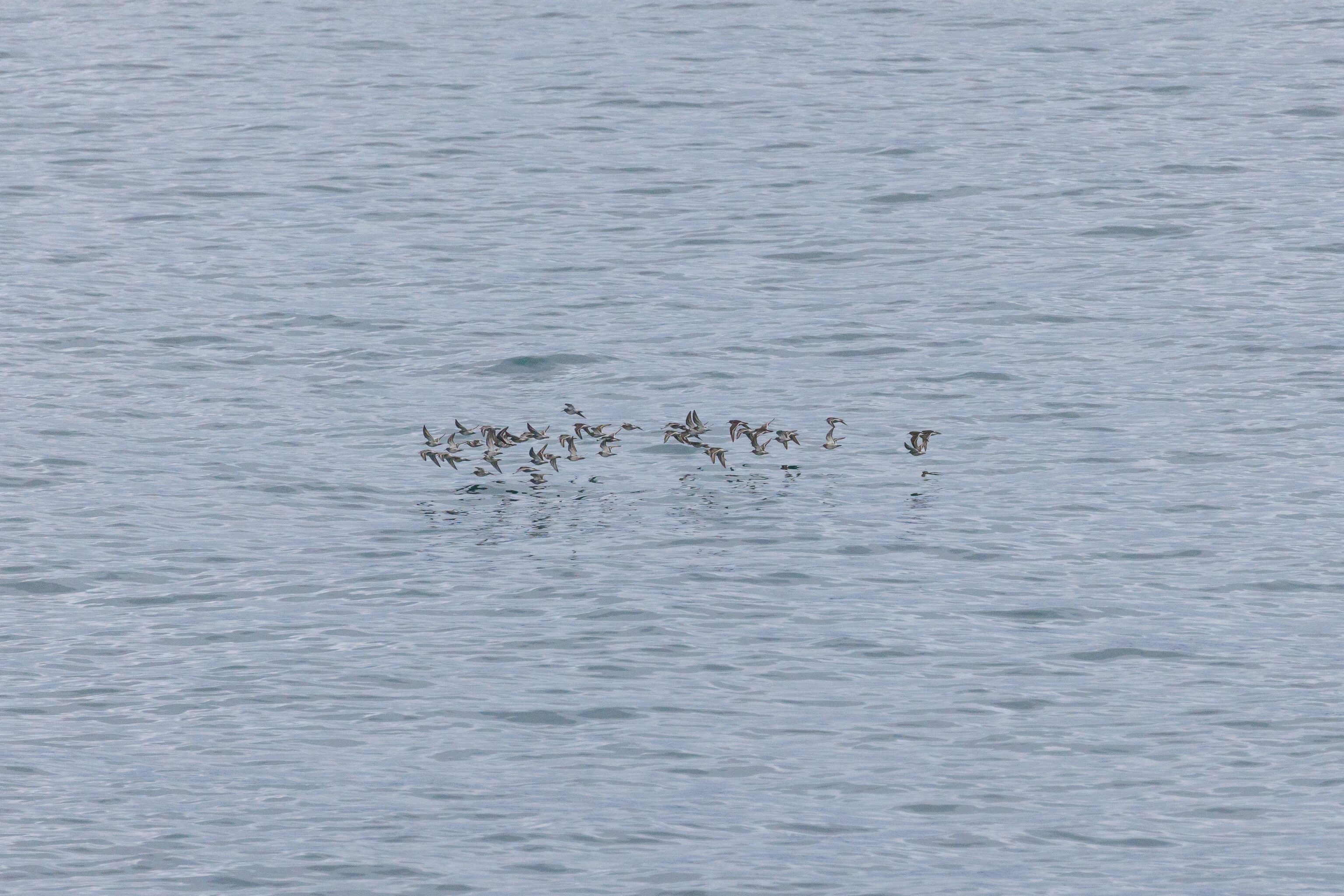
We saw a number of birds around Schooner Head. Two fast and low flying birds caught our eye as they flew across the water. Then moments later, we saw a large flock of smaller and faster birds fly by in the same direction!
Sand Beach
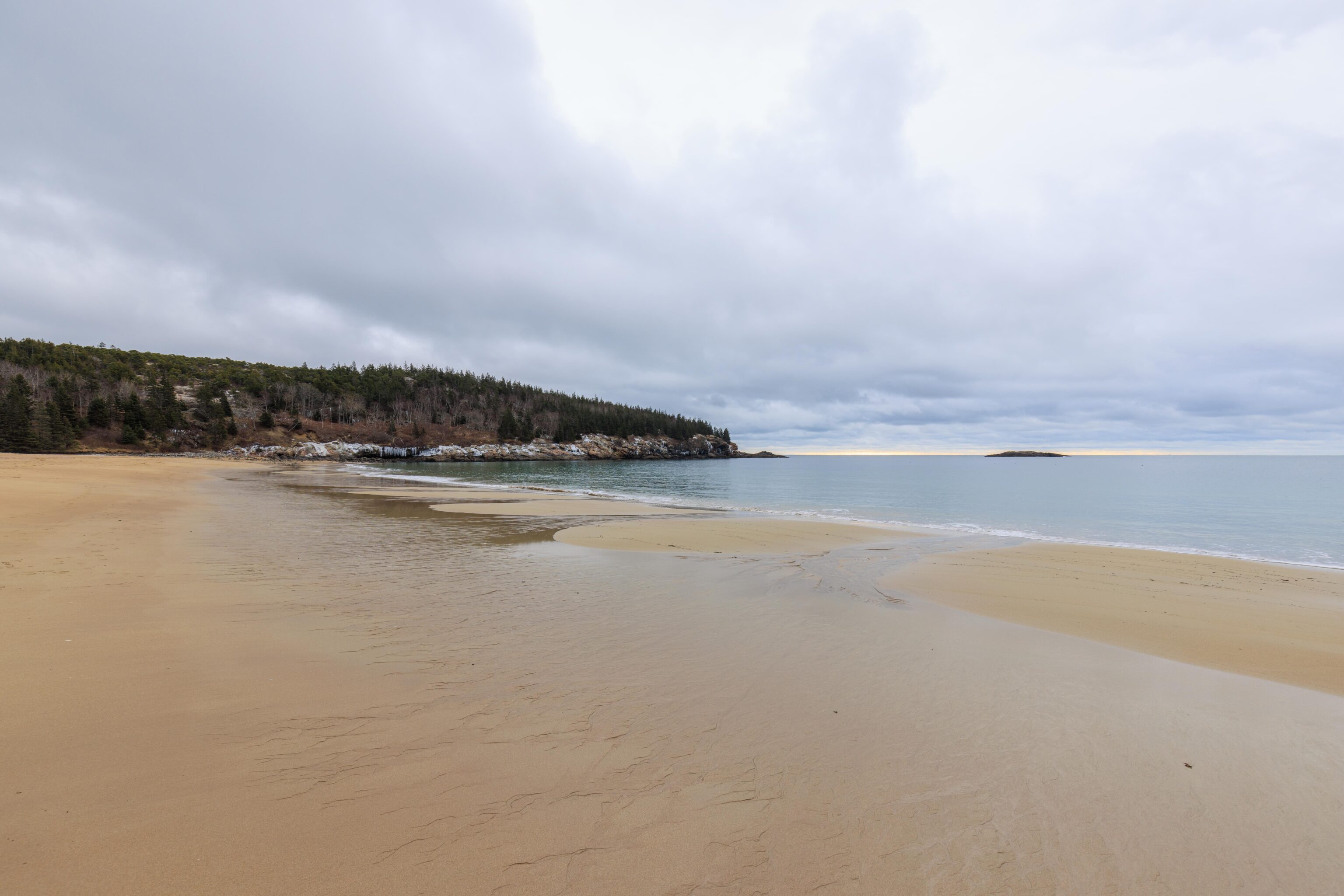

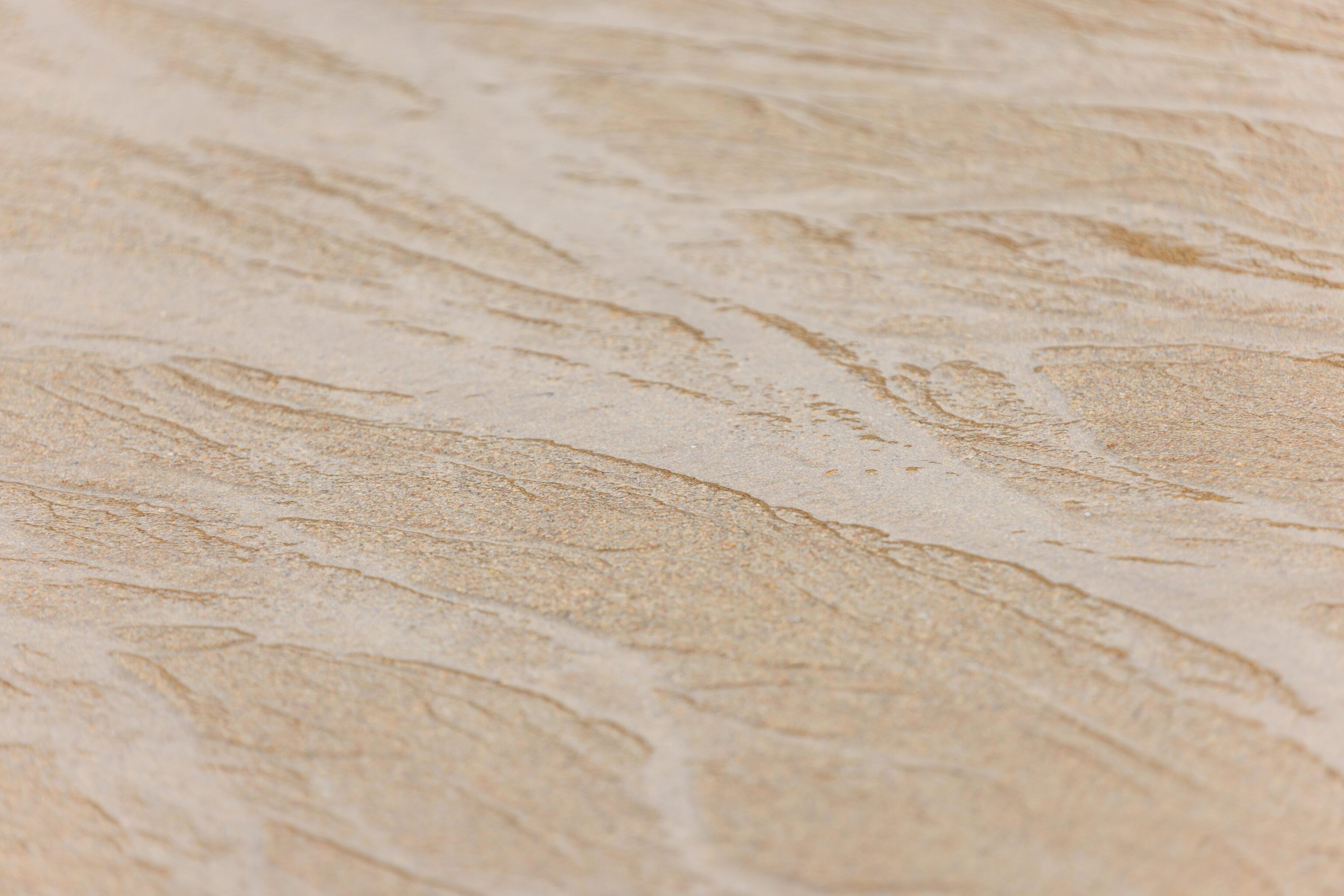
Sand Beach actually does have real sand! And it is pretty nice sand too!
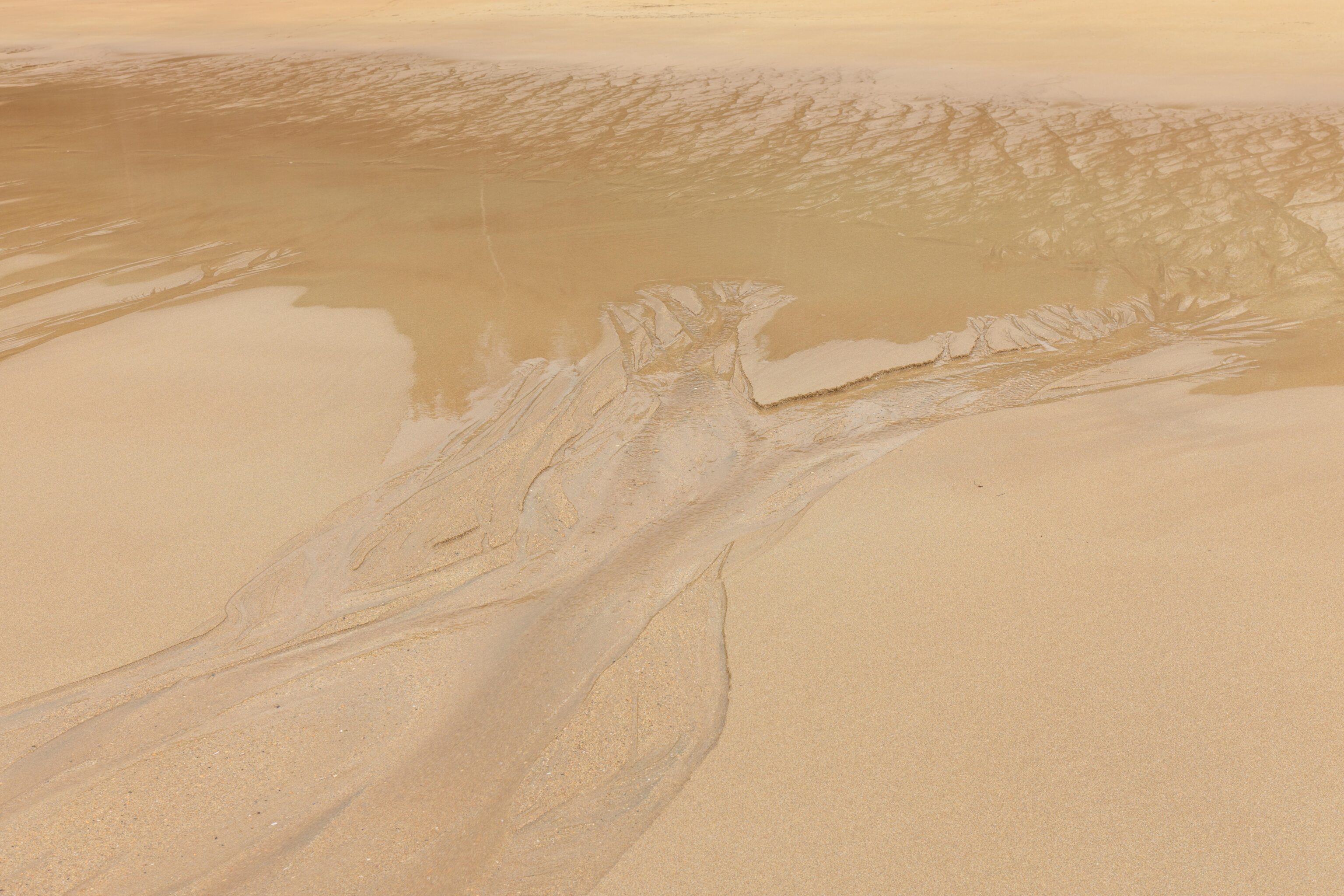
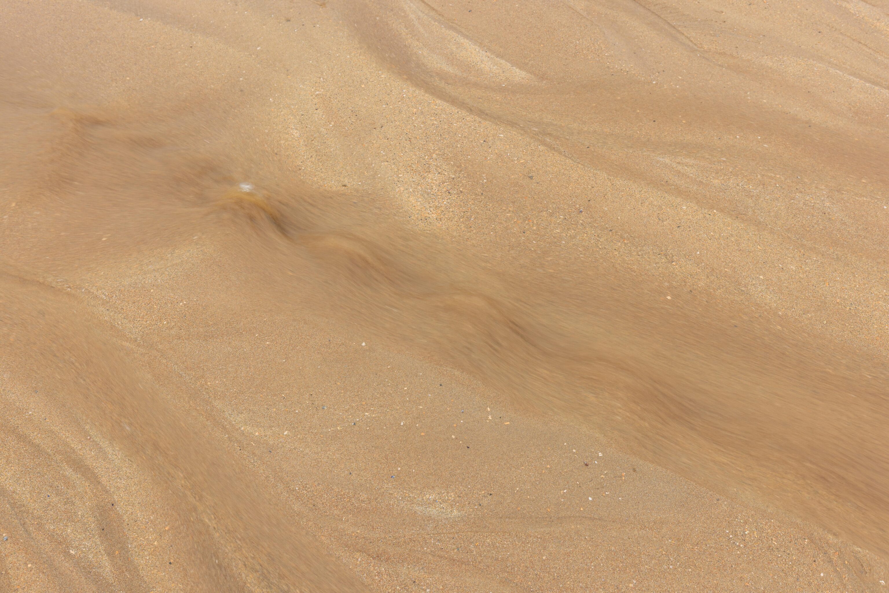
We reached Sand Beach around low tide. Water was seeping out of the sand and running down into the Atlantic Ocean via many shallow channels of water running over the beach.
We recorded some short video of the water rushing back down into the ocean. The ocean waves are audible in the background.
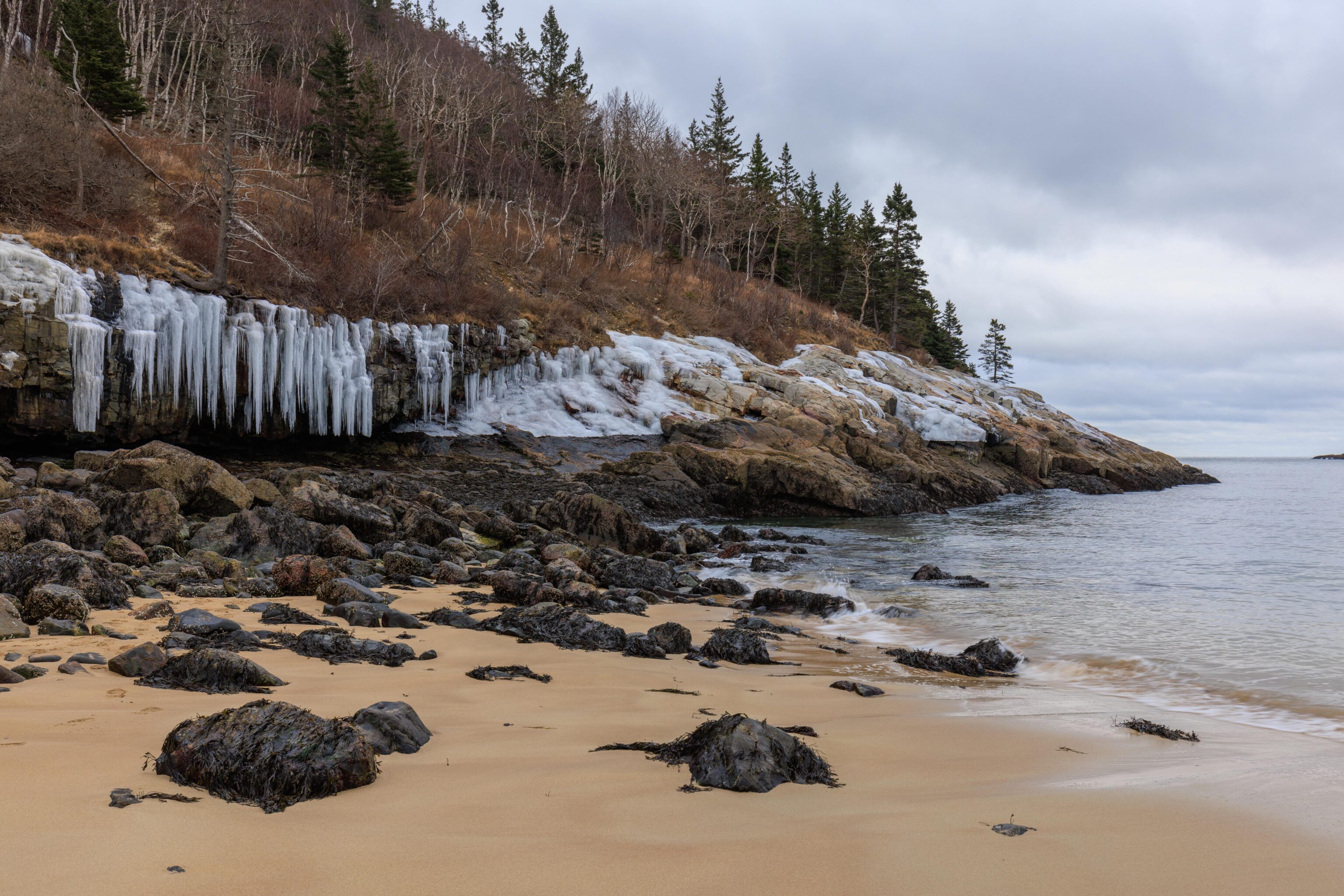
We found these icicles on the left interesting. Their bottoms have been melted off by the ocean at high tide!
Ocean Path

The Ocean Path trail leads from Sand Beach all the way down to Otter Point and sits between the road and the sea. Generally, it is at the top of the cliff that lines the coast though it does go down below road level at times. There are a few places to stop and park when traveling by car. The trail is never far from the road!
Thunder Hole
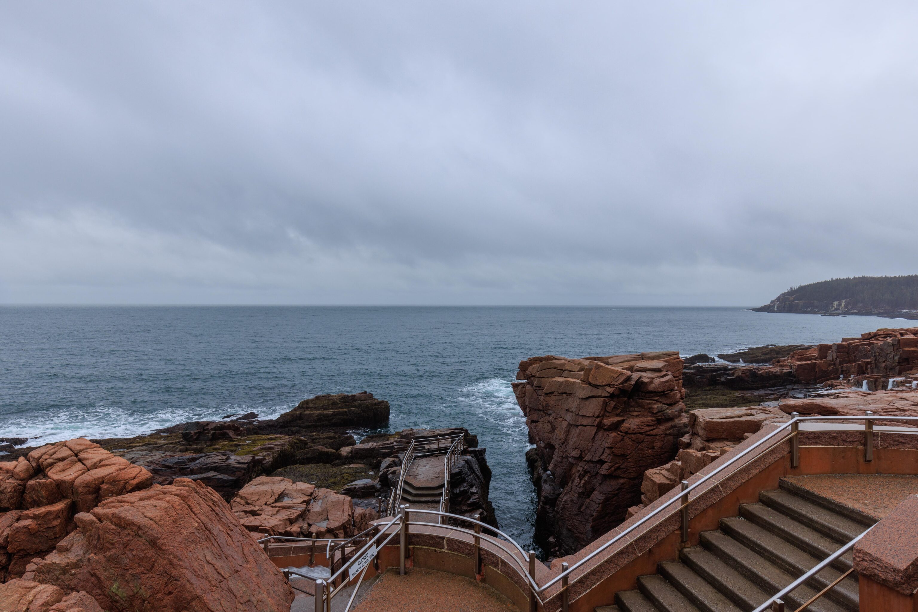
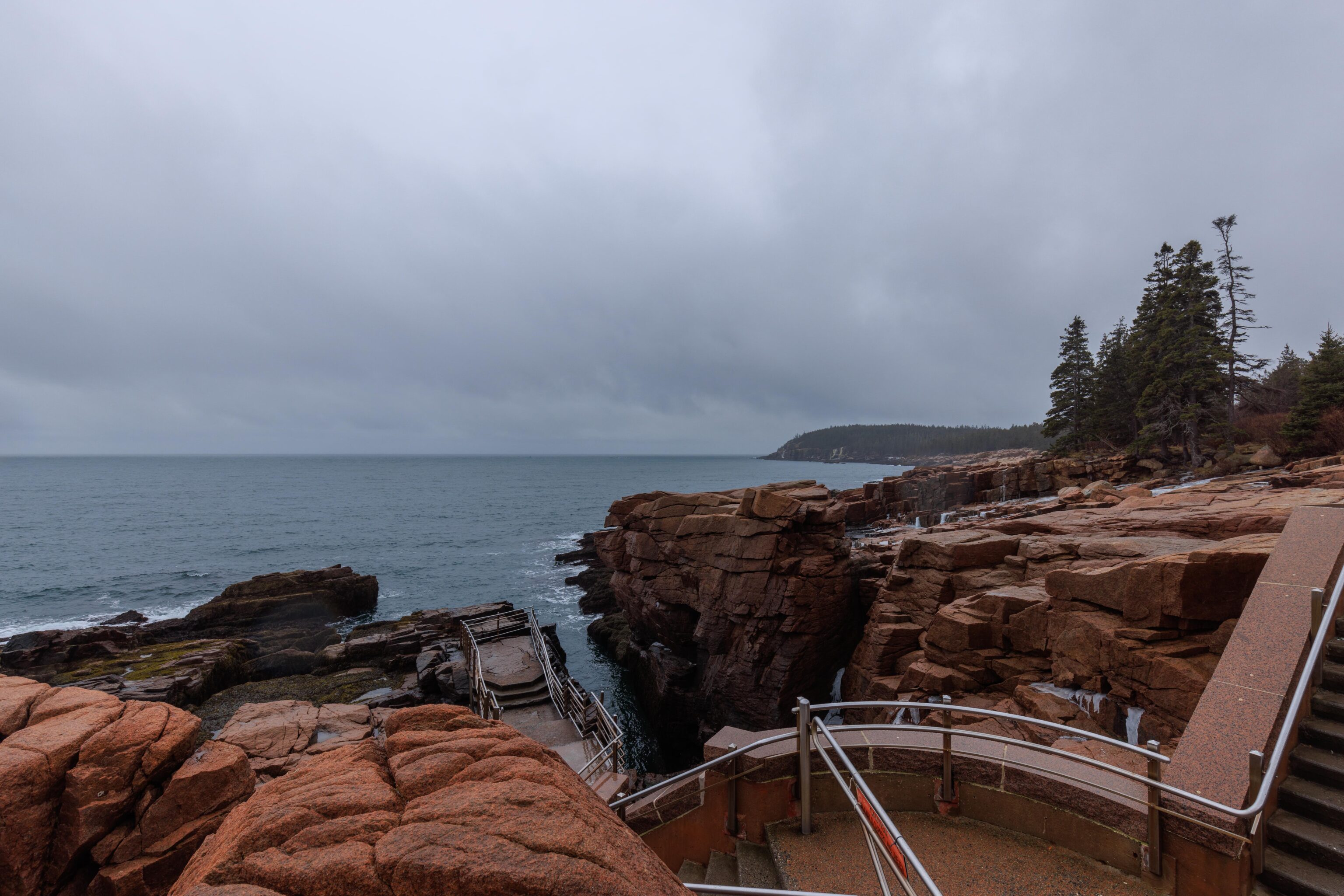
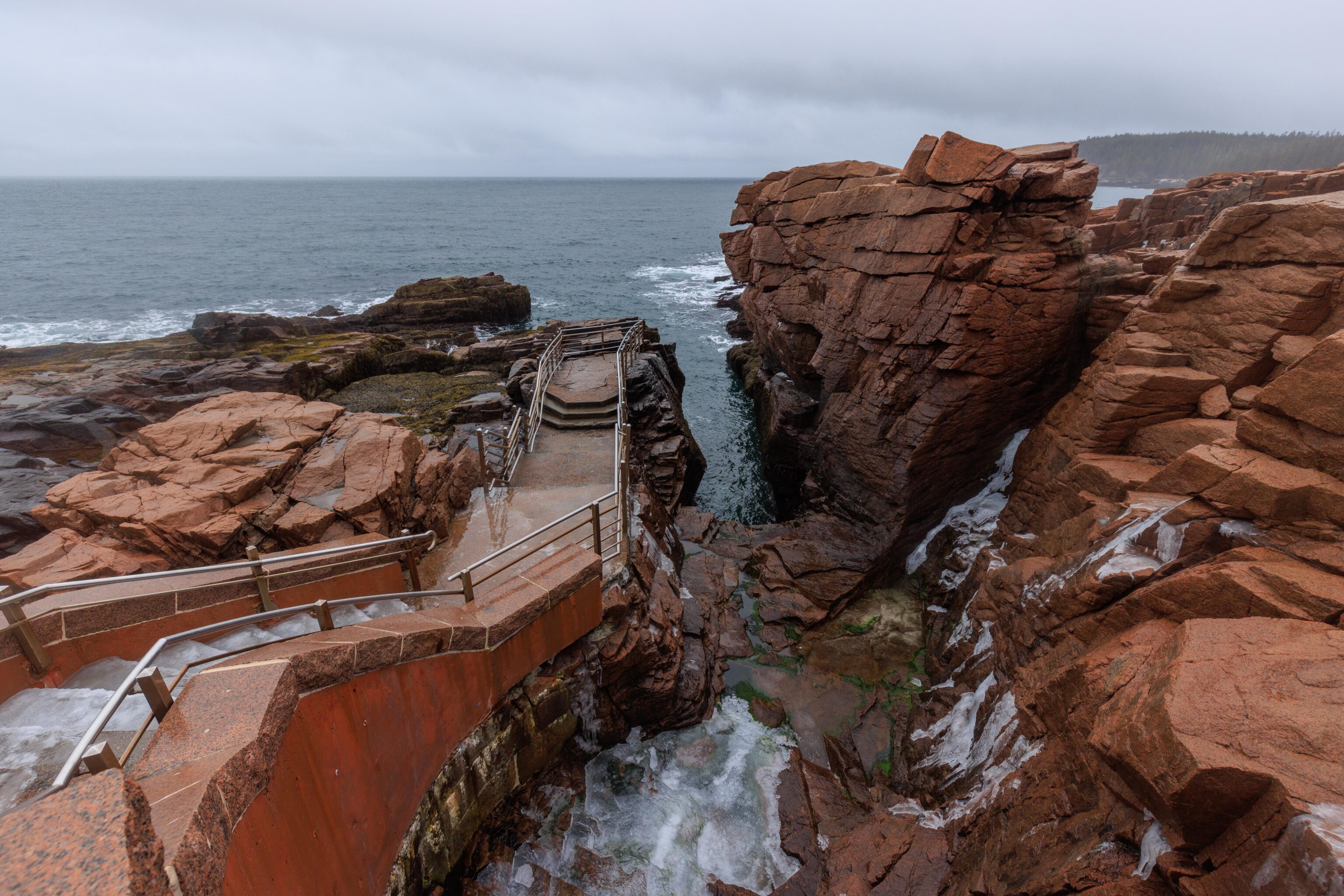
This particular spot gets its name from the thundering noise of the waves crashing into the rocks before high tide. We visited not long after low tide so didn’t get to hear it. Unfortunately, the stairs leading down all the way were closed due to ice. This was the only ice related closure that we saw today.
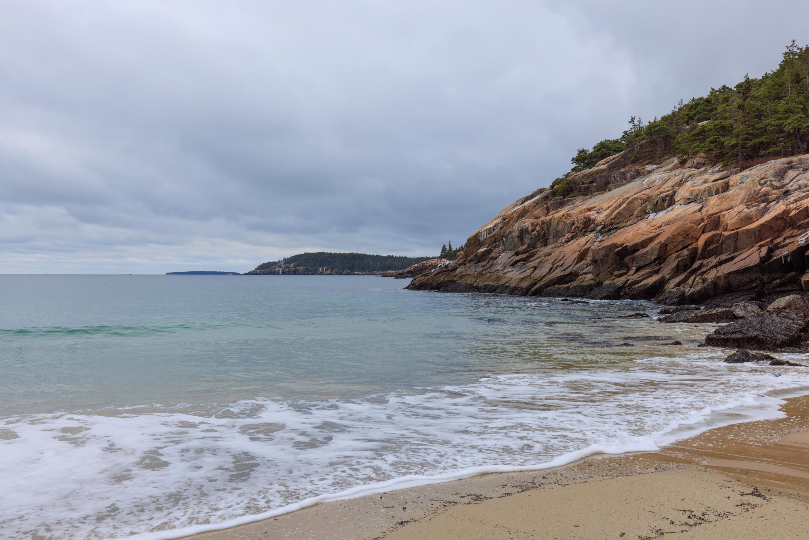
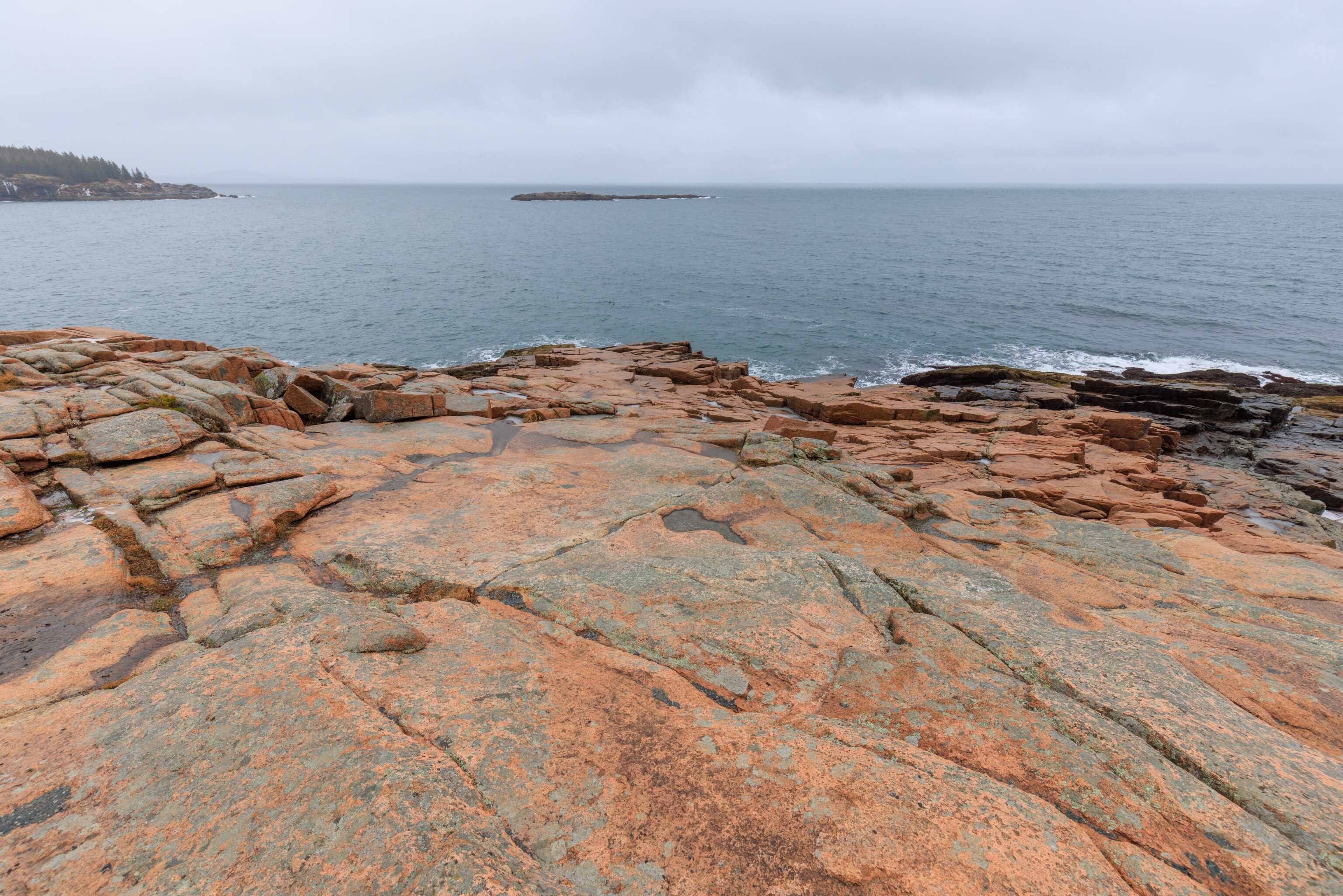
Otter Point
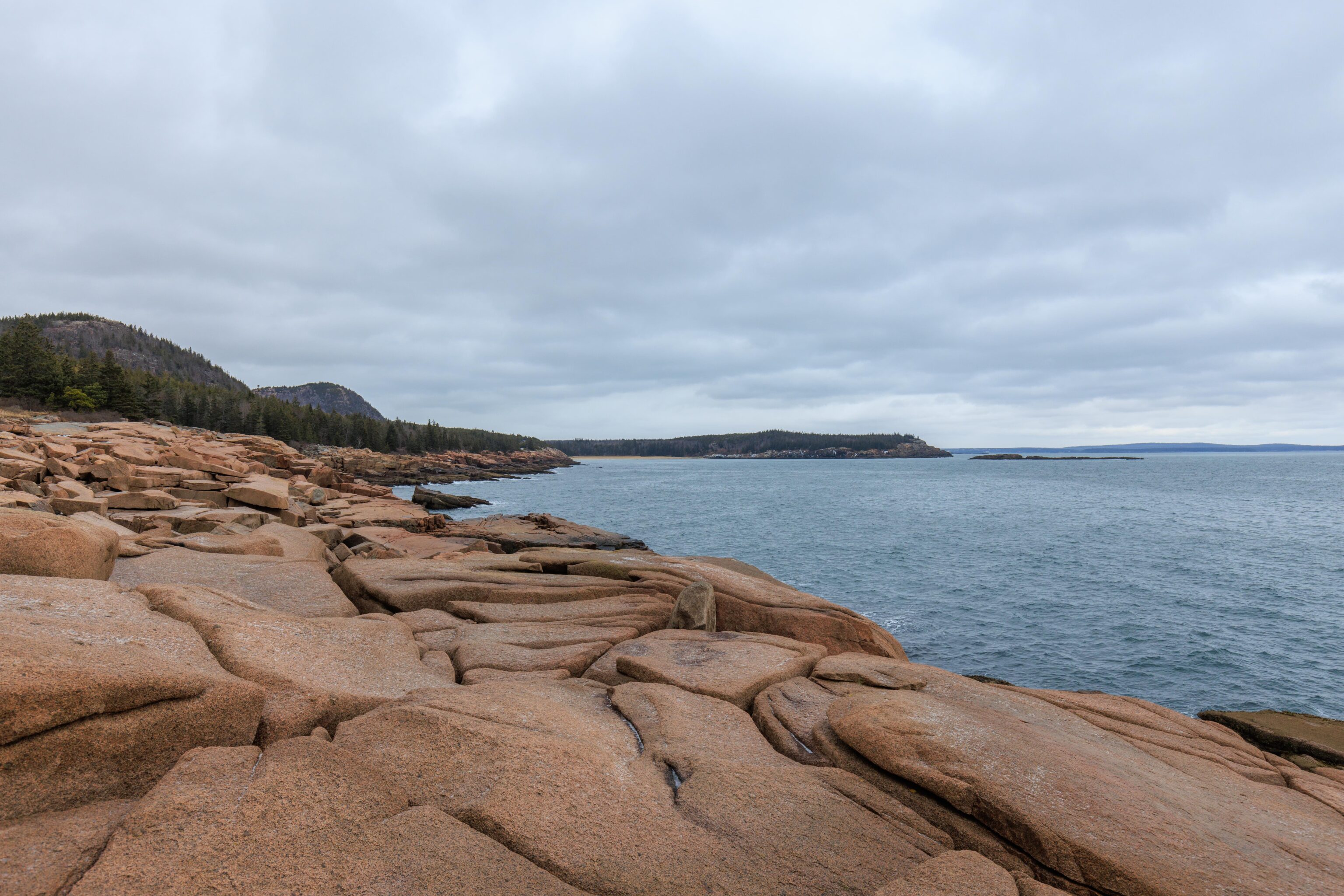
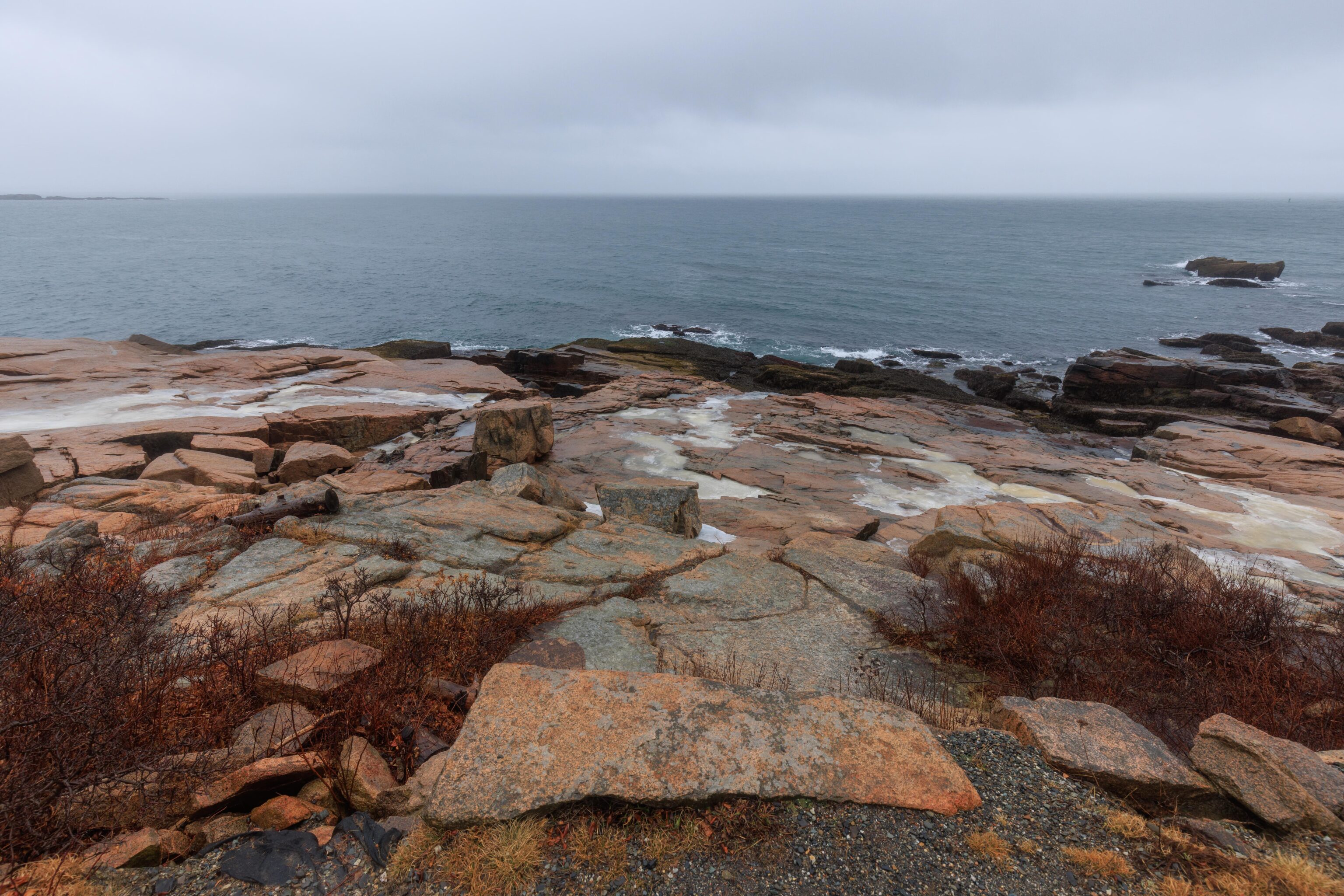
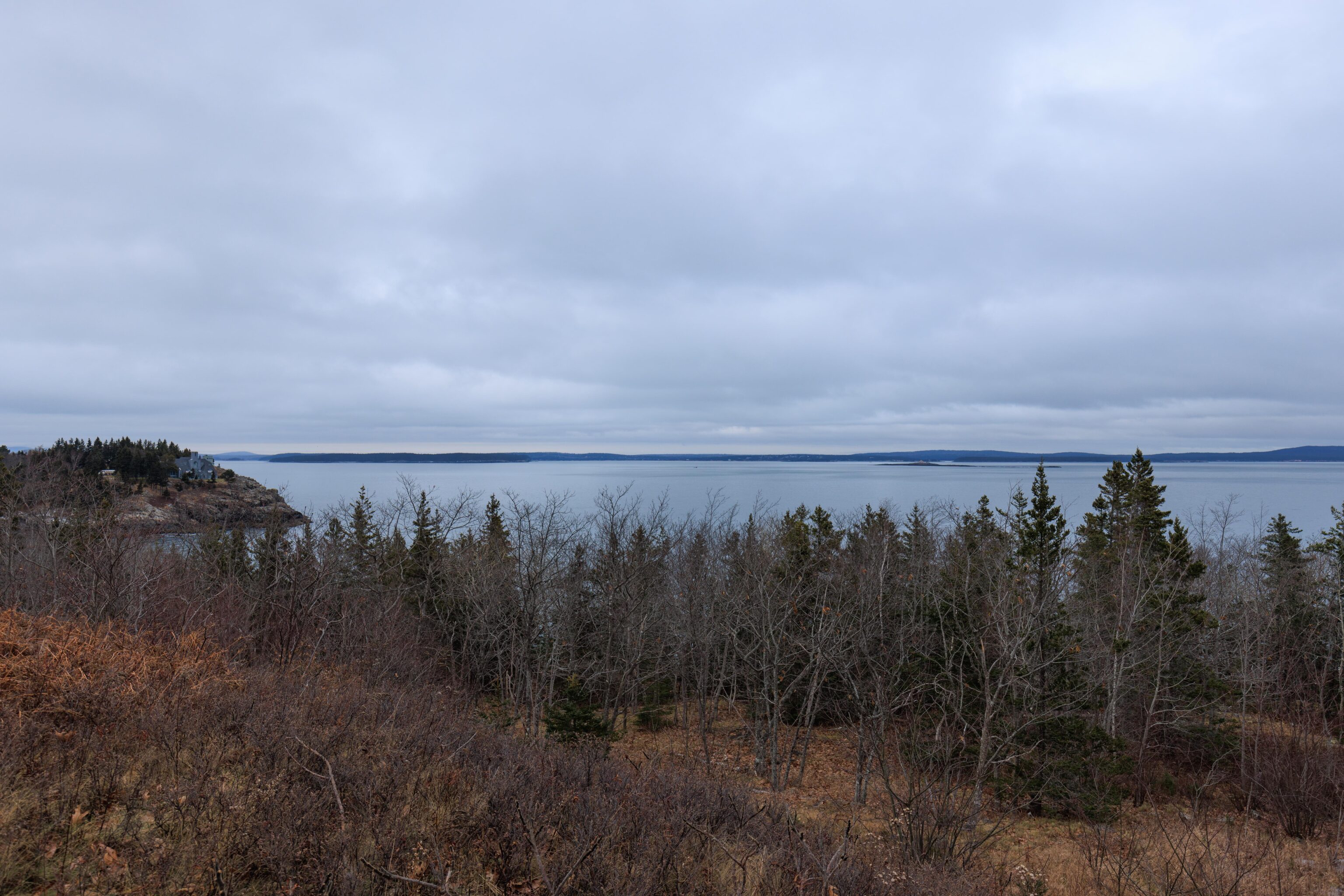
There are many otter named features at the southeastern corner of Mount Desert Island where this part of Acadia National Park is located. The very tip of the peninsula south from Bar Harbor is named Otter Point. We started hiking towards Otter Point along the Ocean Path trail from a parking lot by where the park road is closed for the winter at the intersection of Otter Cliff Road and Park Loop Road. This parking lot is identified on the NPS digital map as Ocean Drive Parking.
We were hoping that it would stop raining for this hike but unfortunately it did not. We decided to go regardless as we were fully prepared for rain.
There is a little “beach” filled with small rocks just to the south. It isn’t identified on the NPS map but it is labeled as Boulder Beach on Google Maps. Anyone can create a marker on Google Maps though so its unclear if this is an actual name or not. It was really starting to rain hard as we reached this point!
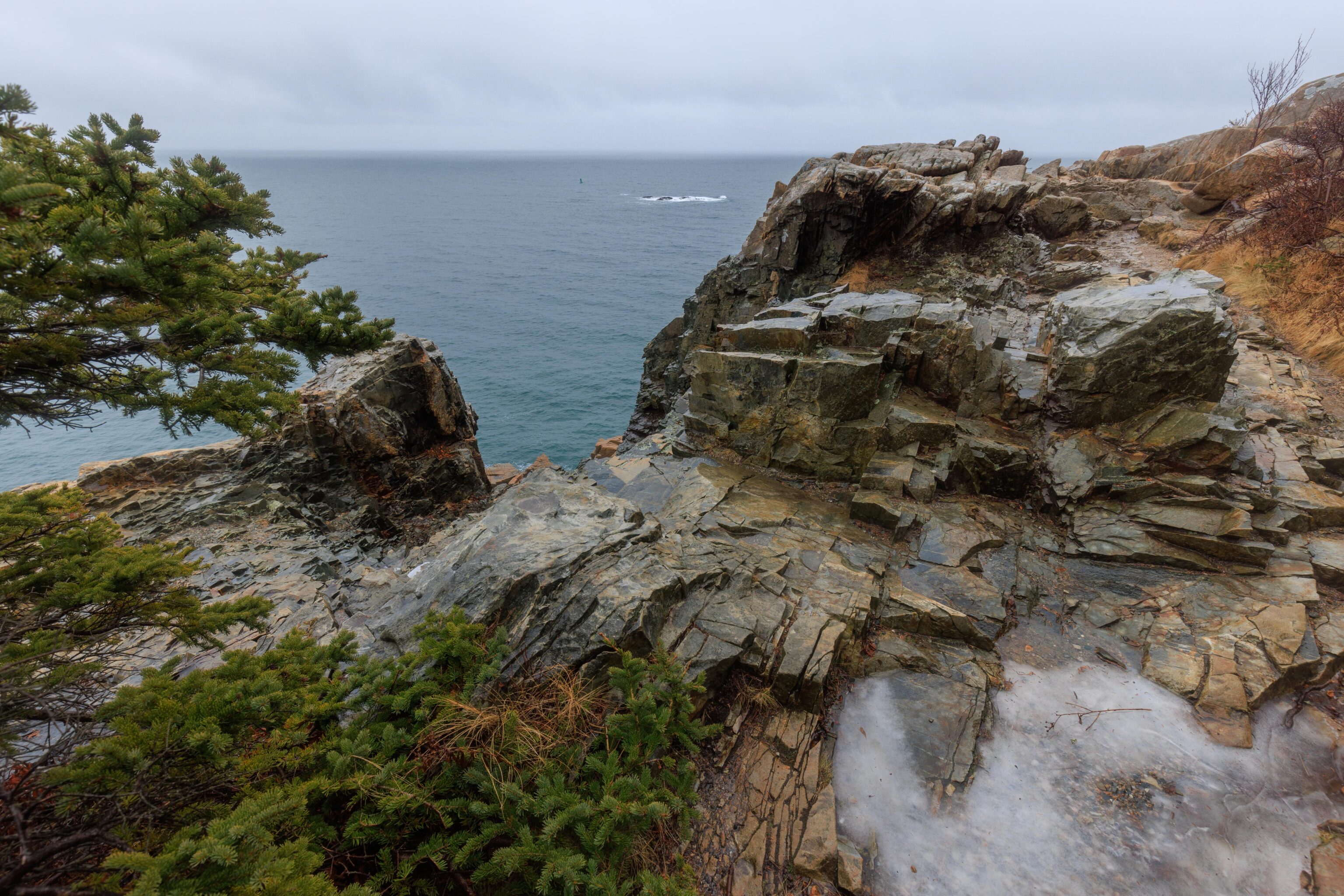
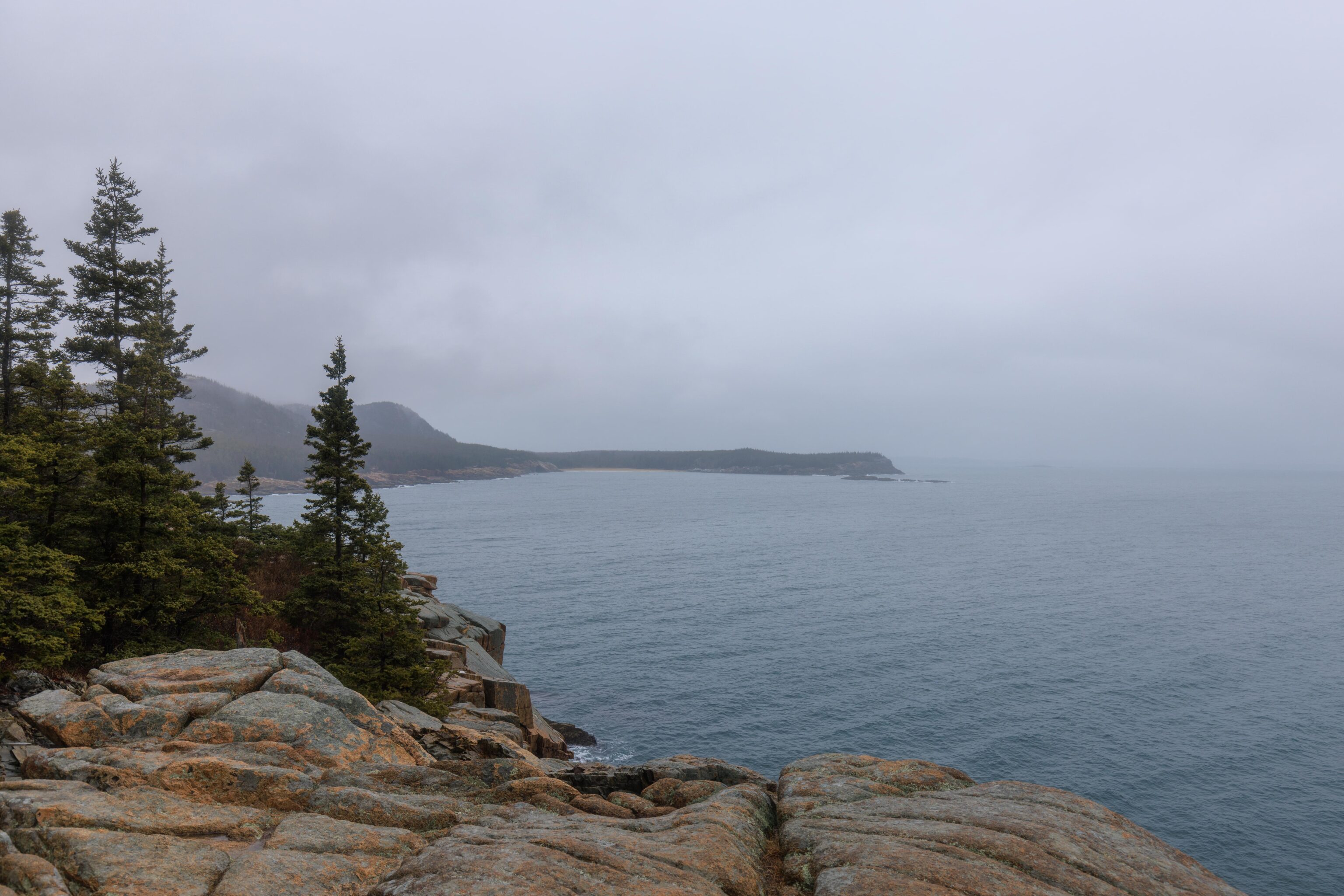
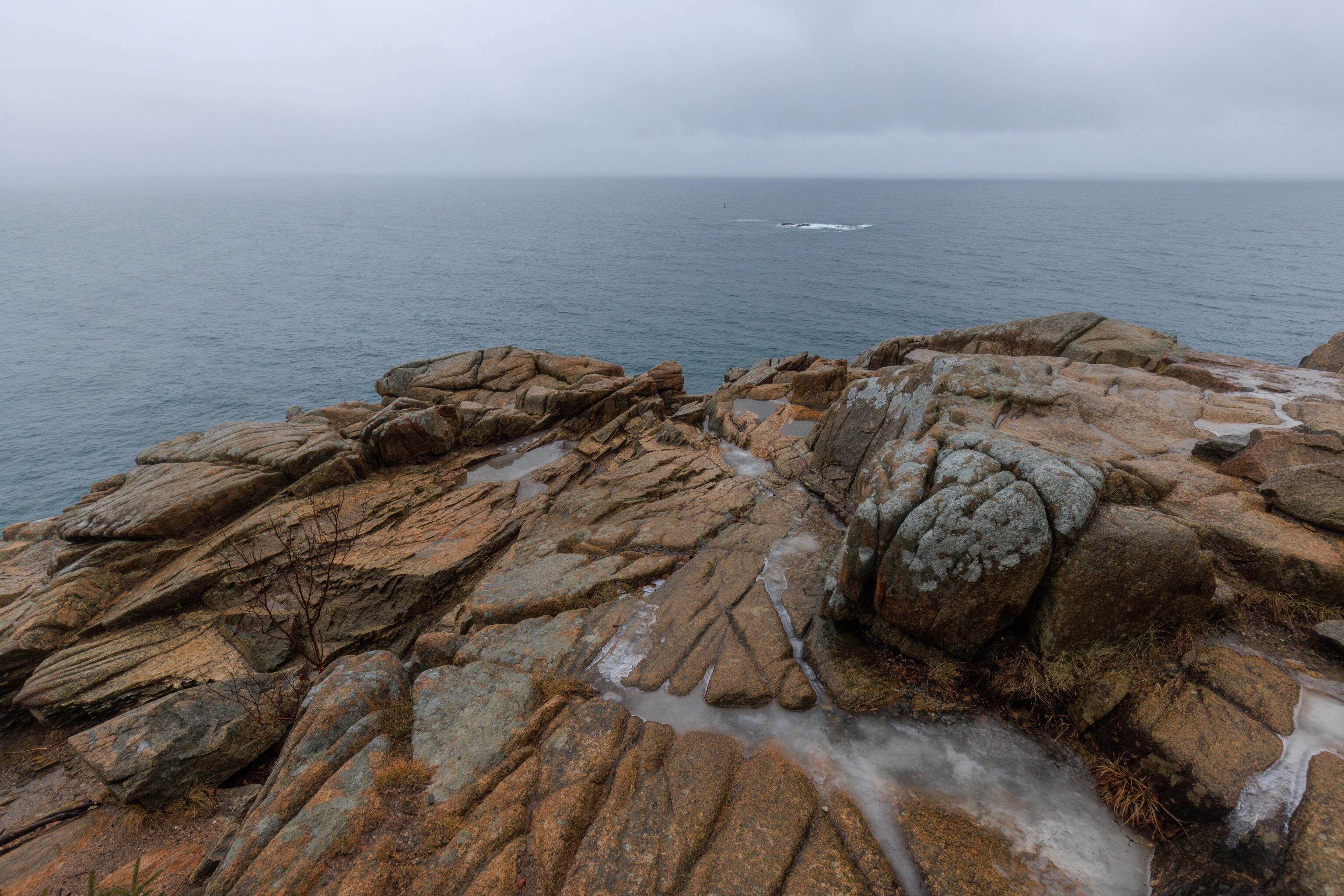
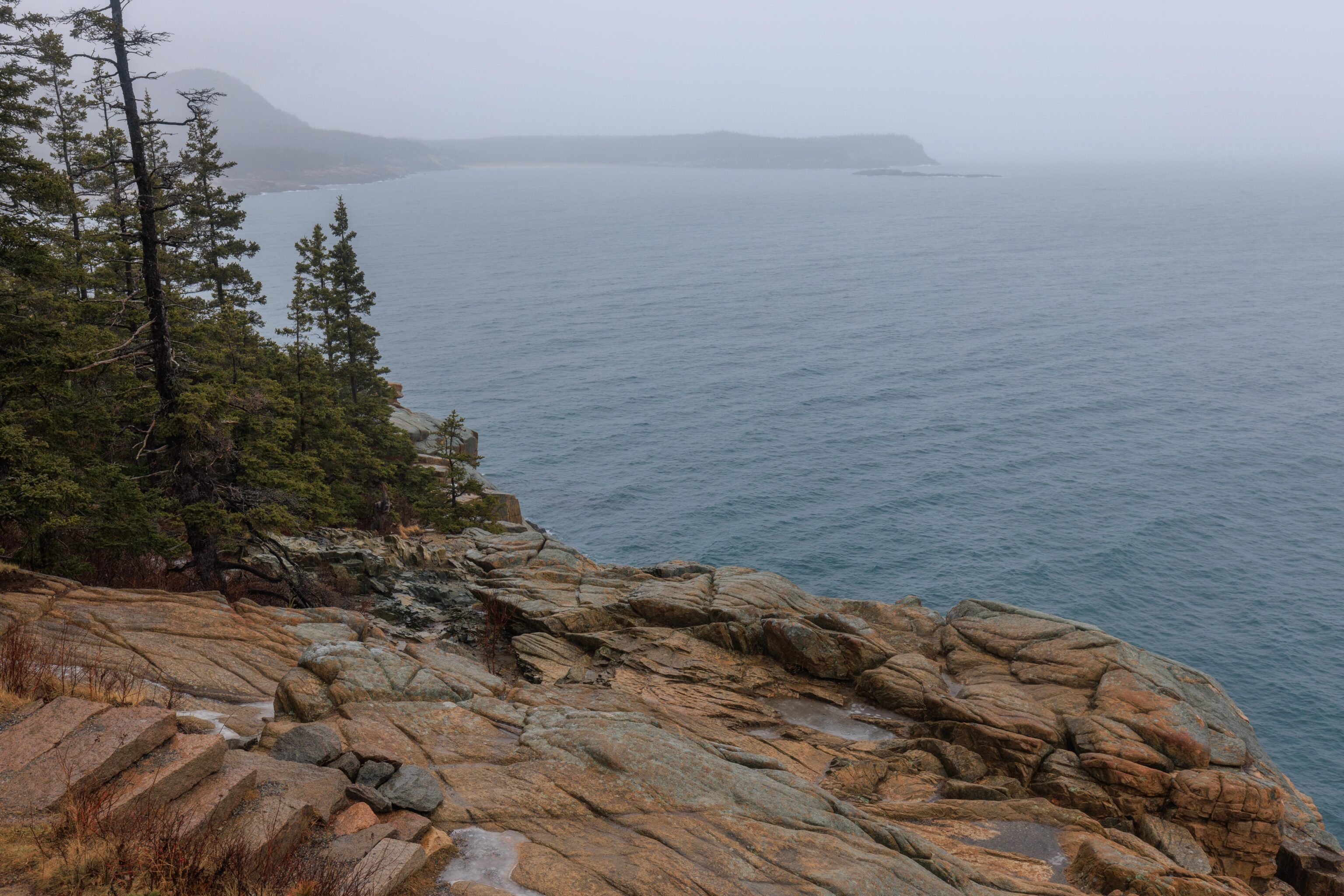
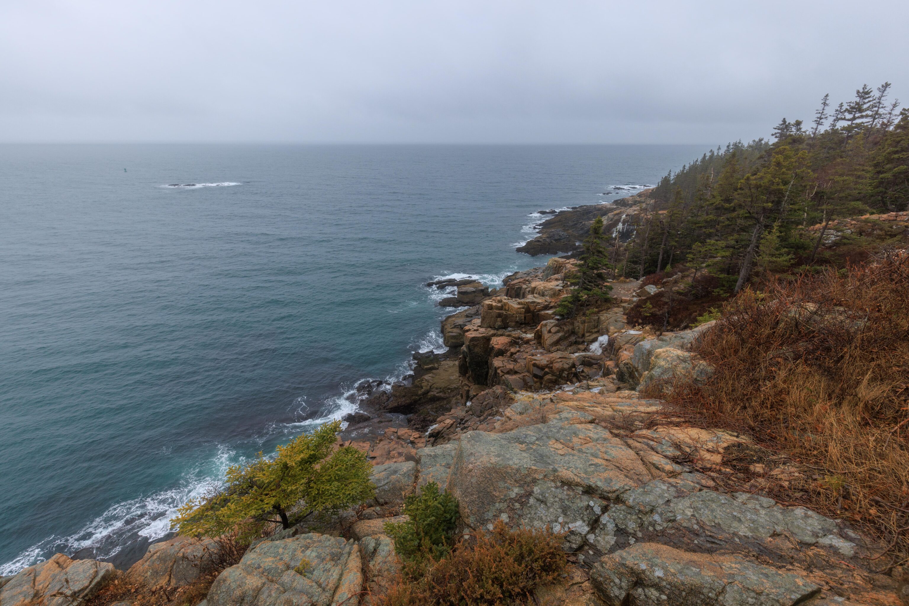
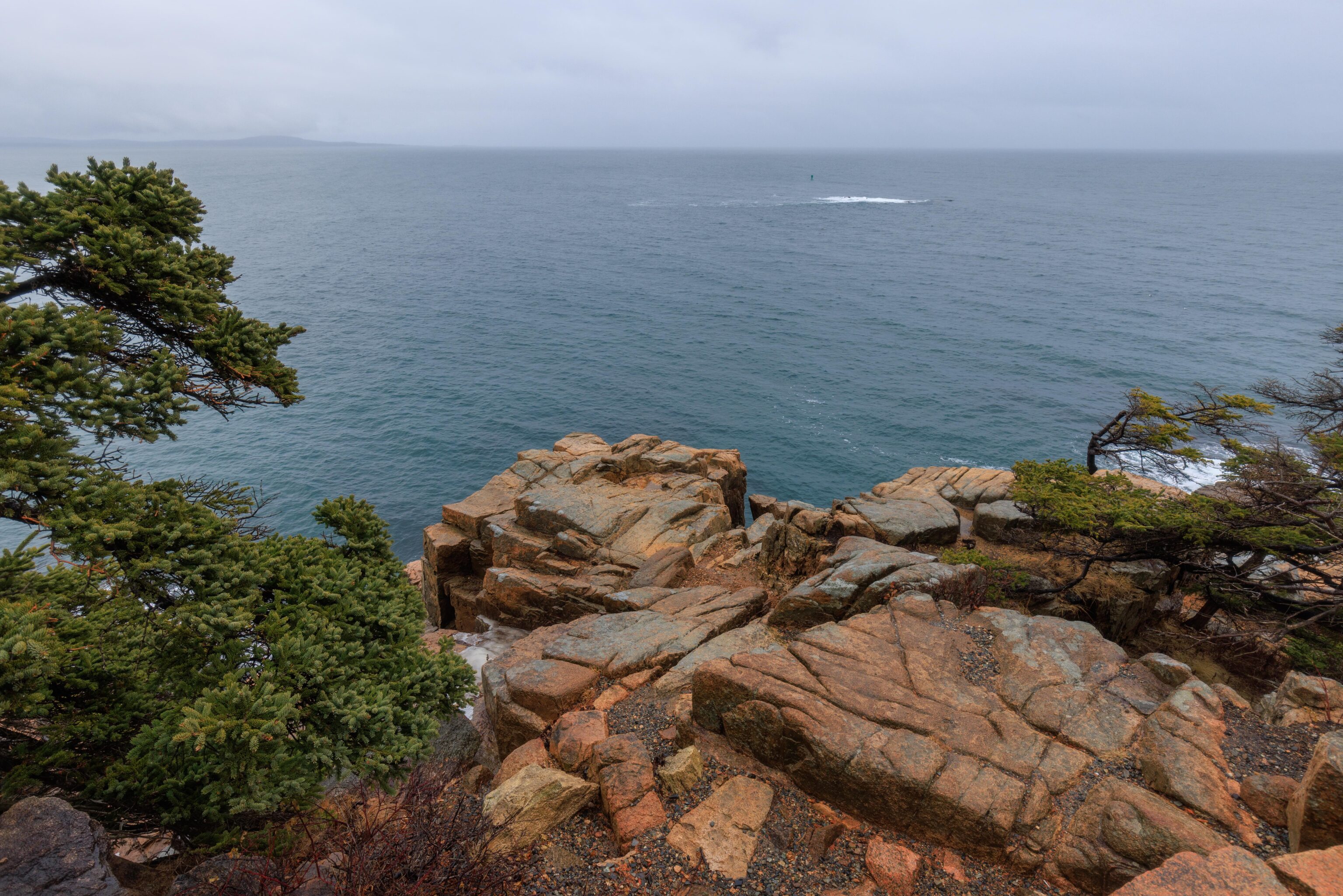
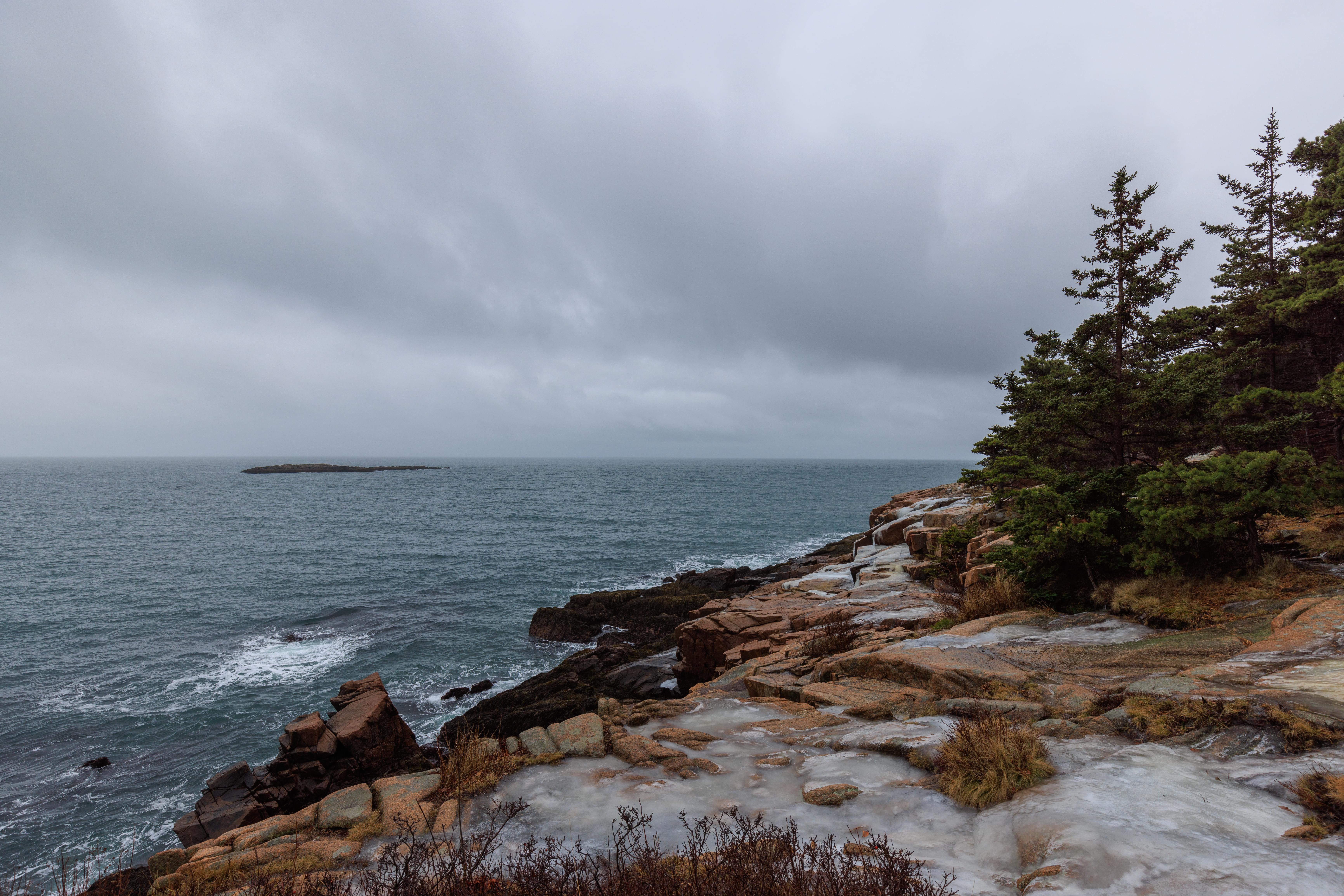
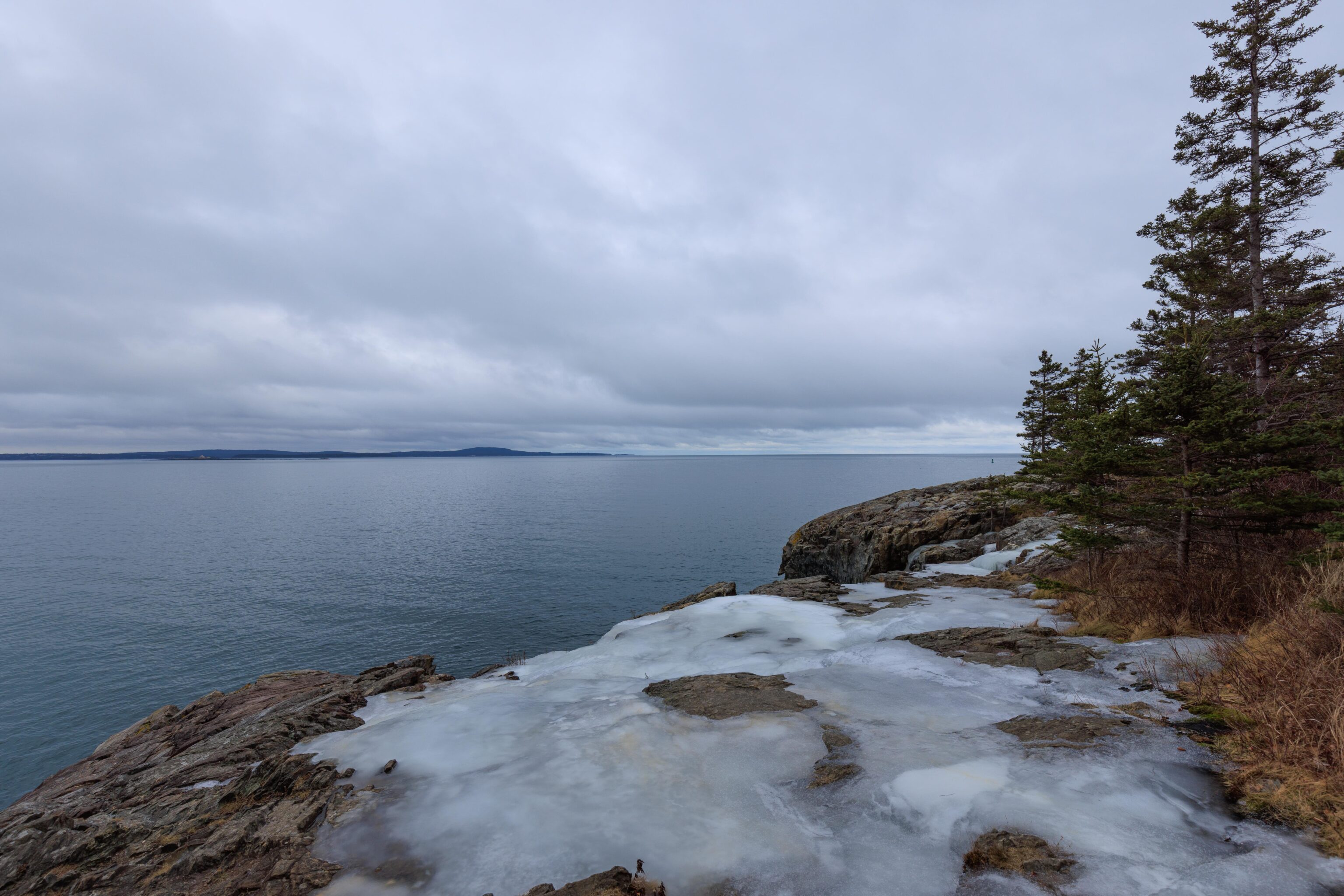
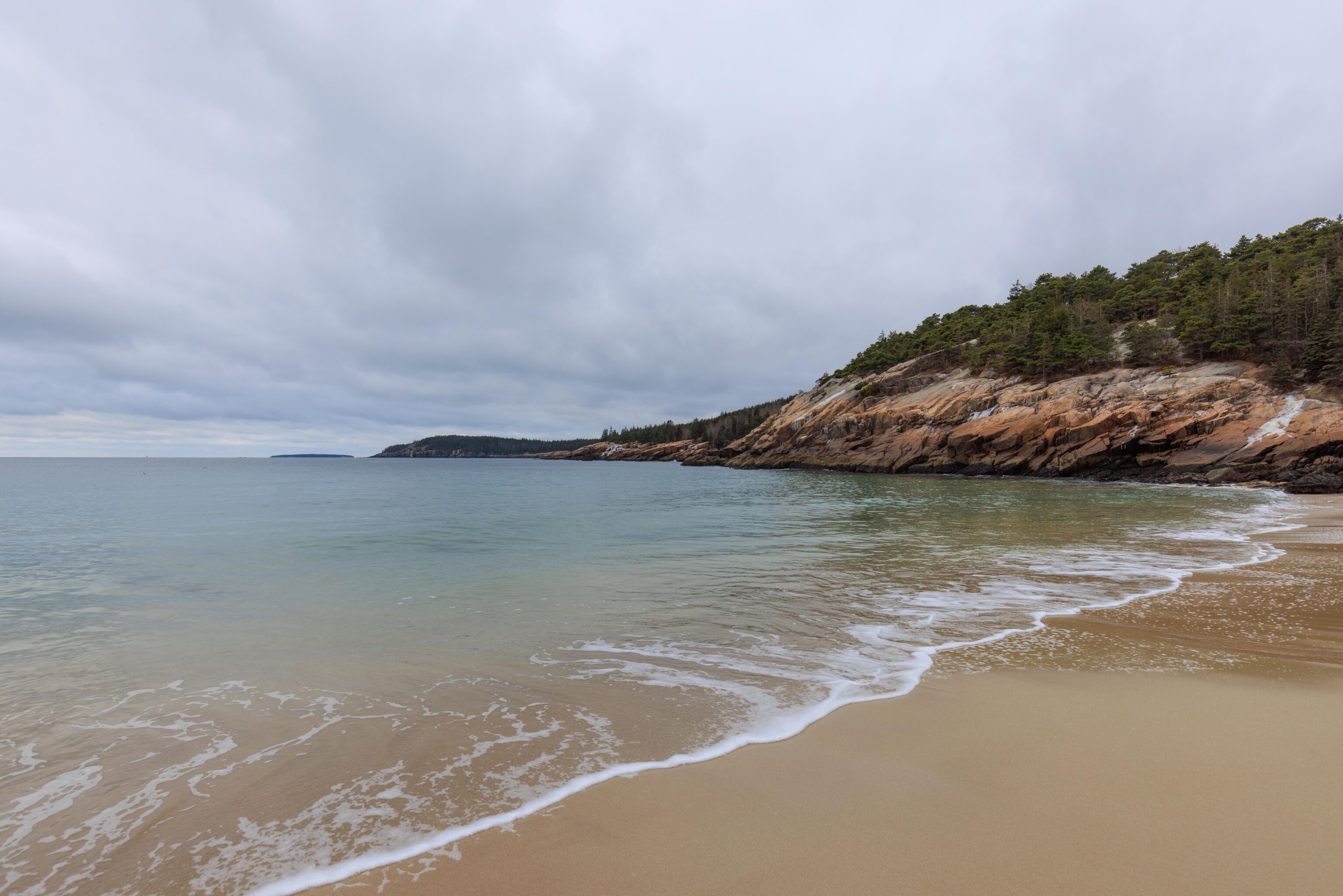
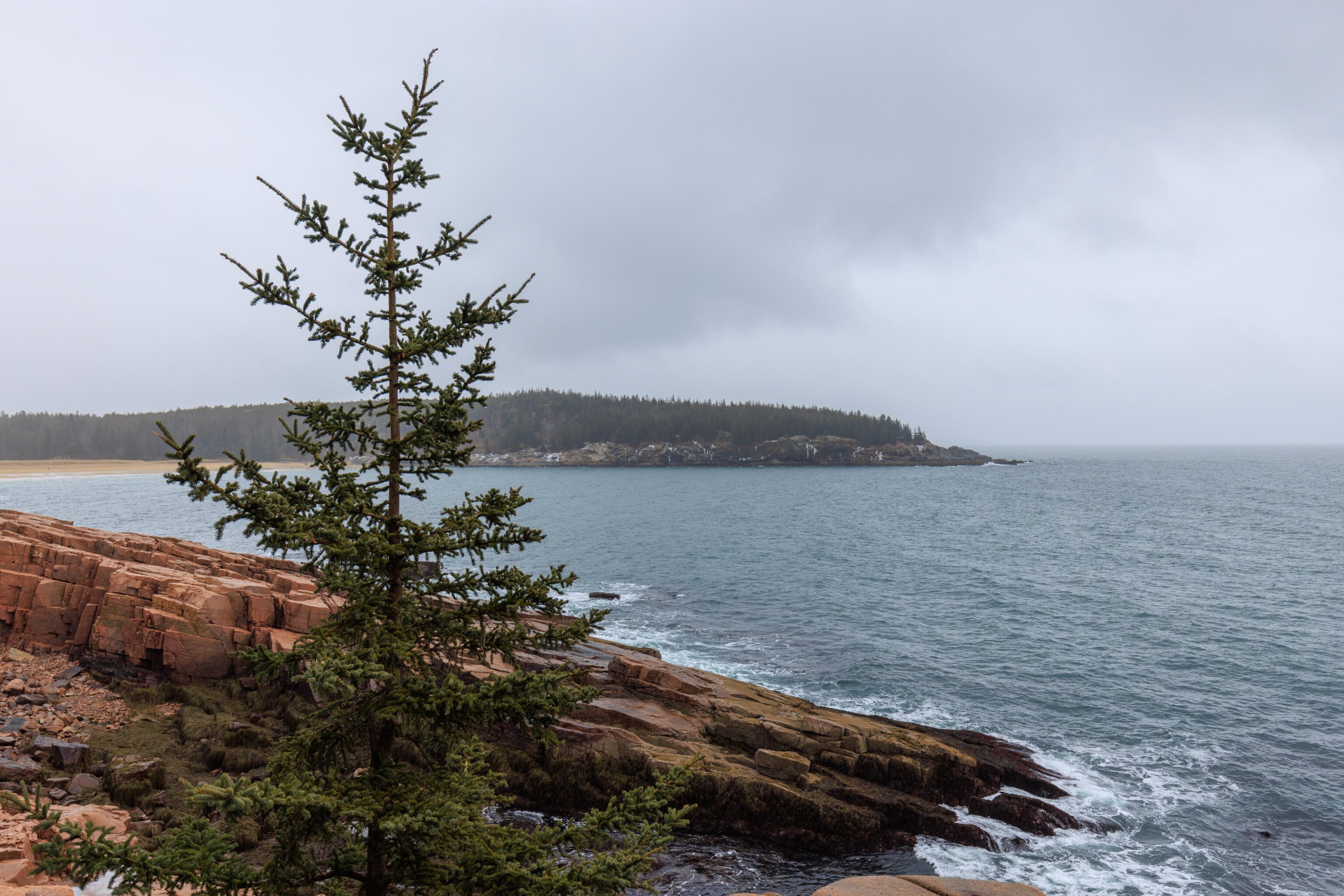
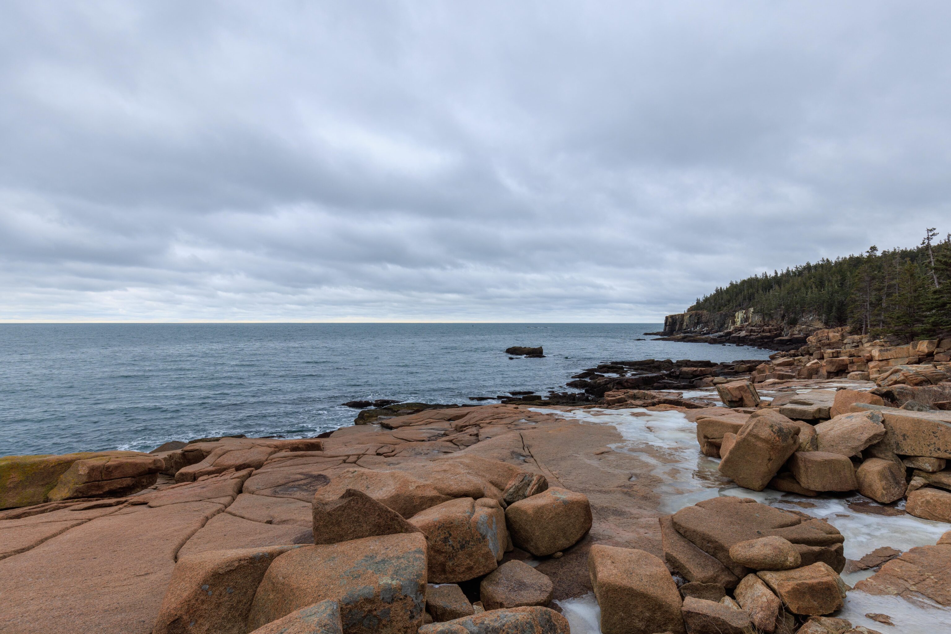
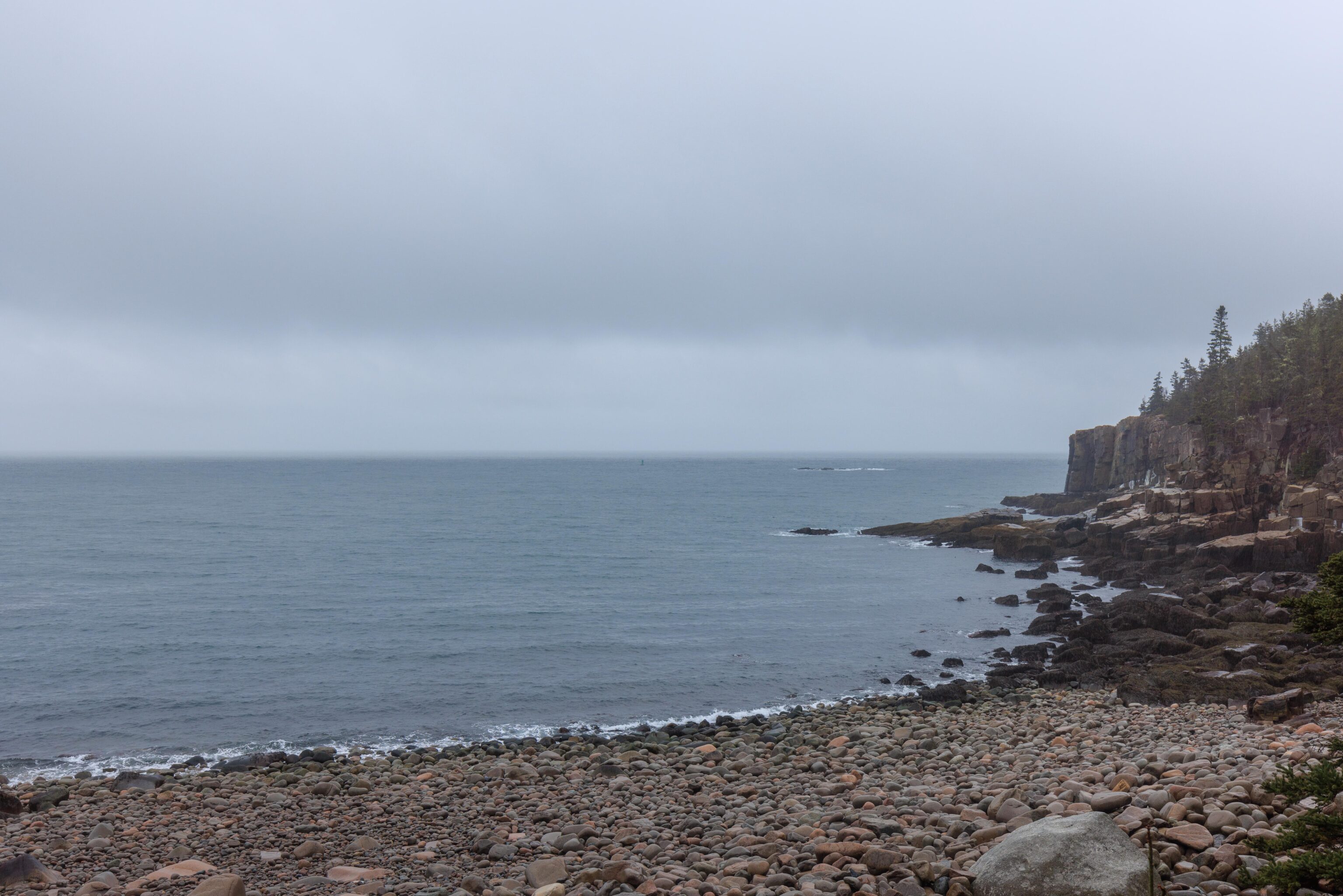
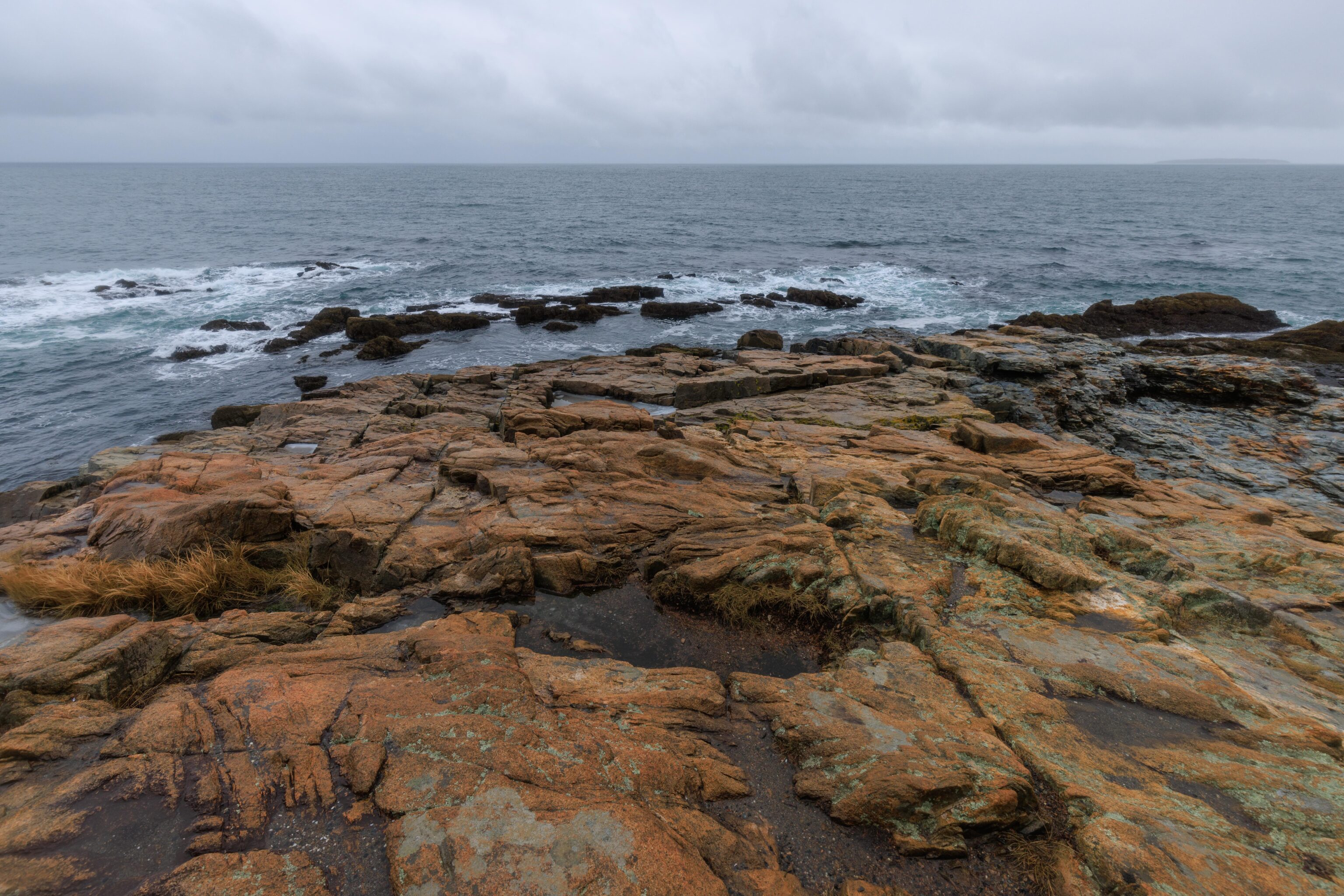
About a quarter mile to the south, we reached Otter Cliff. There was a bit of sketchiness along the Ocean Path trail due to ice but we were able to make our way to the overlook along the closed road above the trail. The views were quite beautiful and the rain was quite wet! Sand Beach is visible in the far distance, it appears just left of center in the second photo of this set.
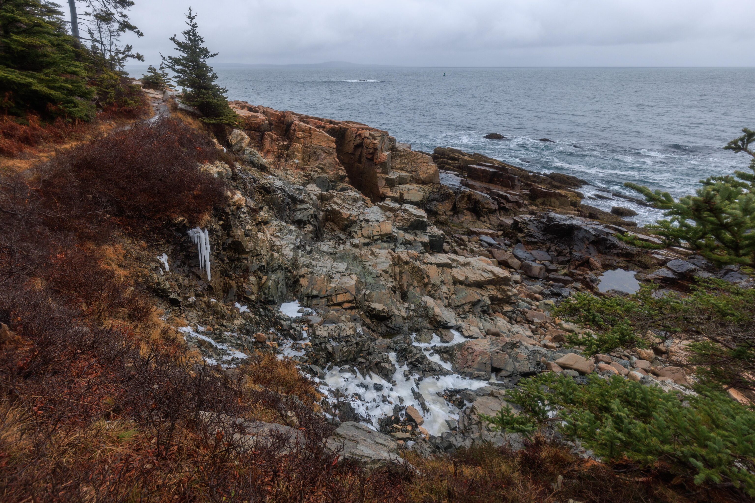
We found that the ice along the trail was very, very solid! Poking at it hard with our carbide tipped trekking poles barely made a dent.
We did find a few spots where the ice was not completely solid though! Here, water is seen flowing under a layer of ice above. The bell from a nearby bouy is barely audible in the background. We could hear it through most of our hike, dependent upon the wind.
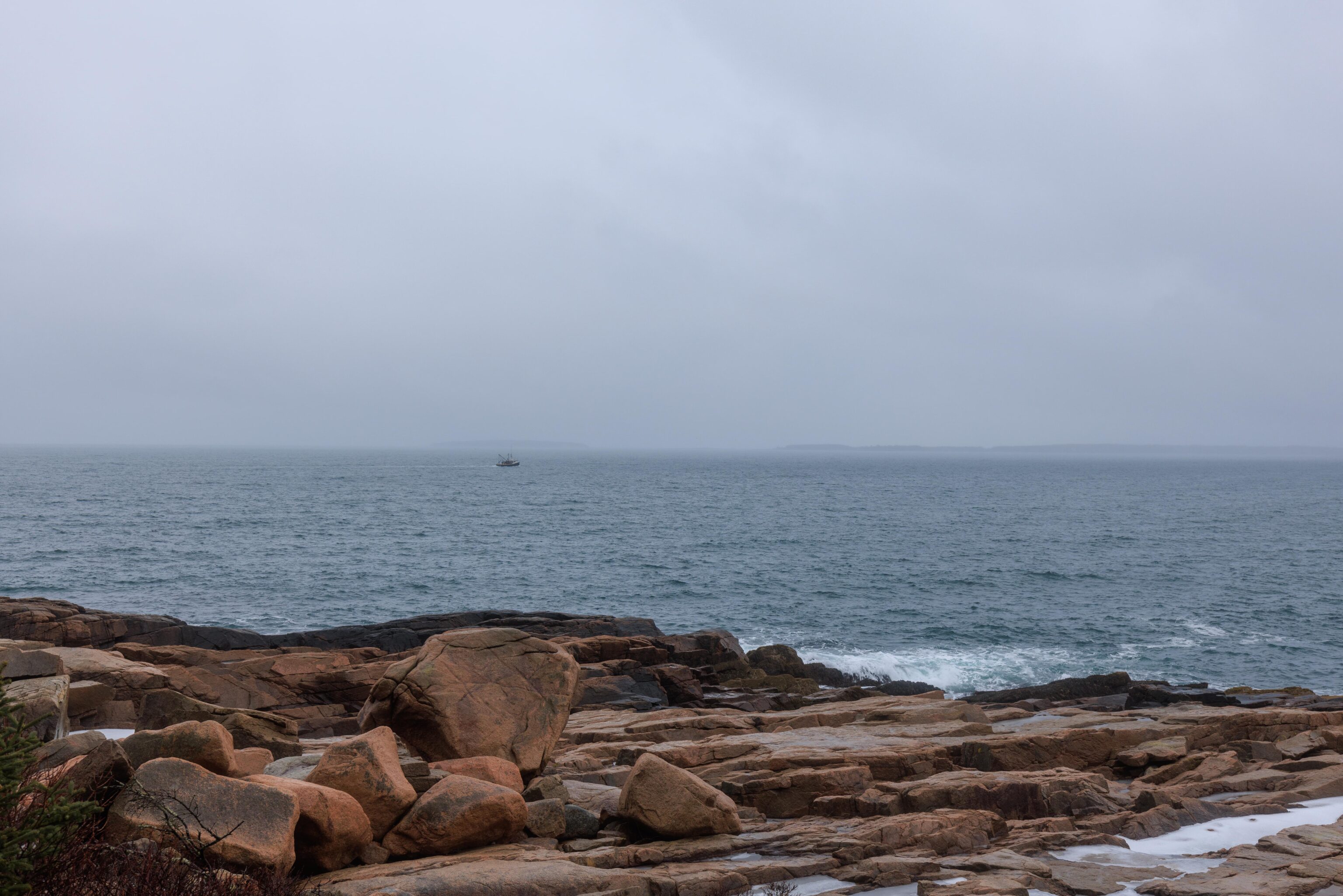
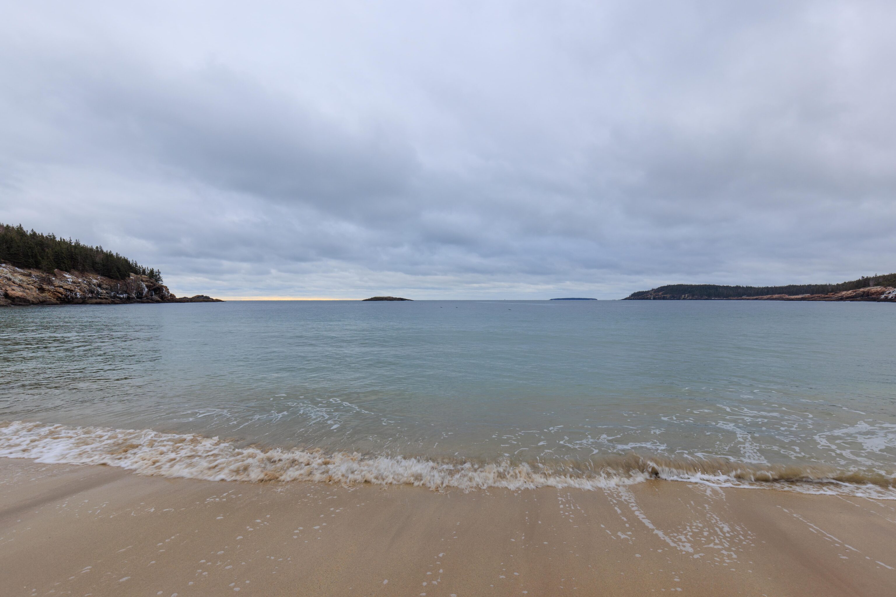
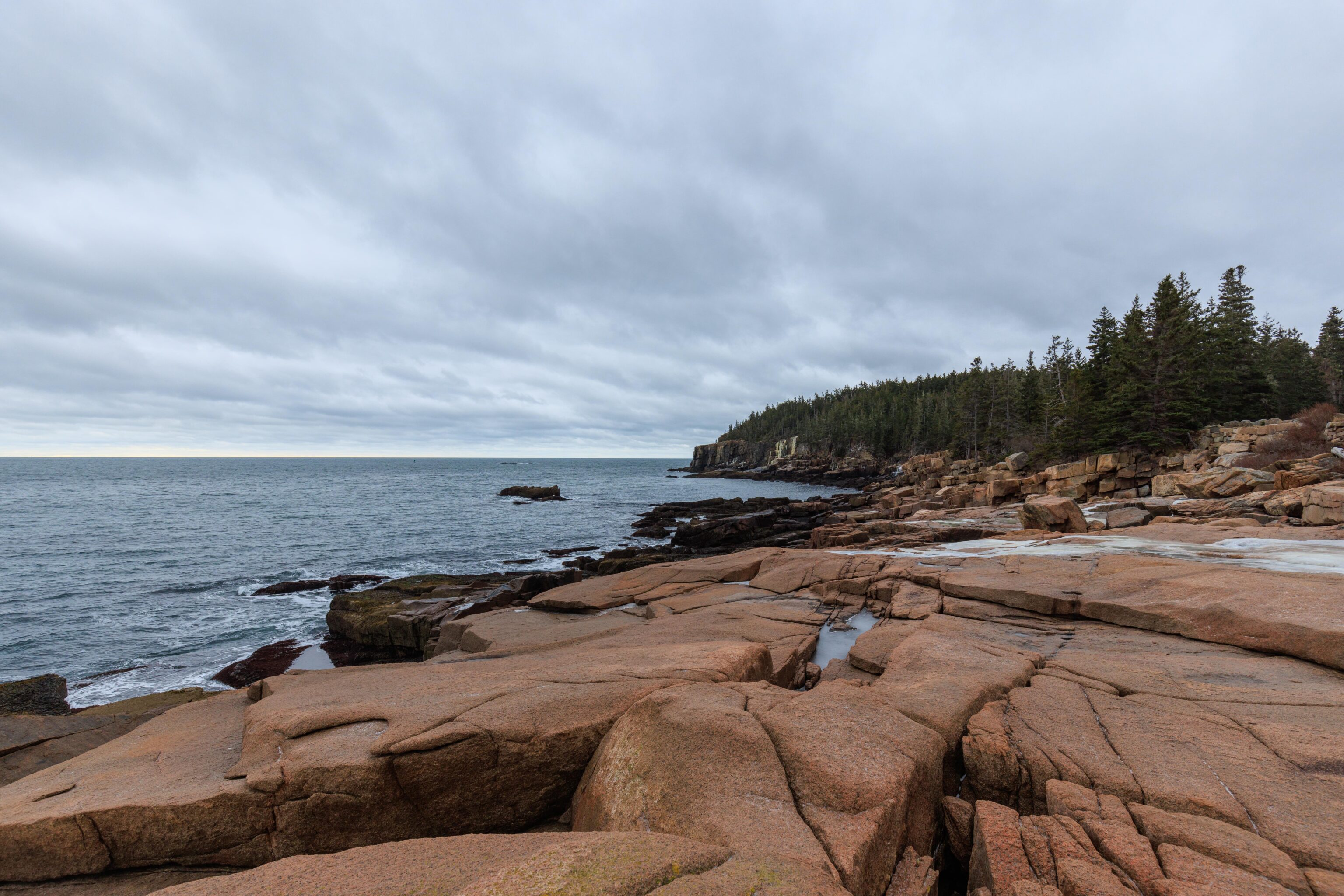
After another quarter mile, we reached Otter Point. Again, a beautiful spot! Unfortunately many of our photos didn’t really come out well due to water on the lens from blowing rain.
The Tarn
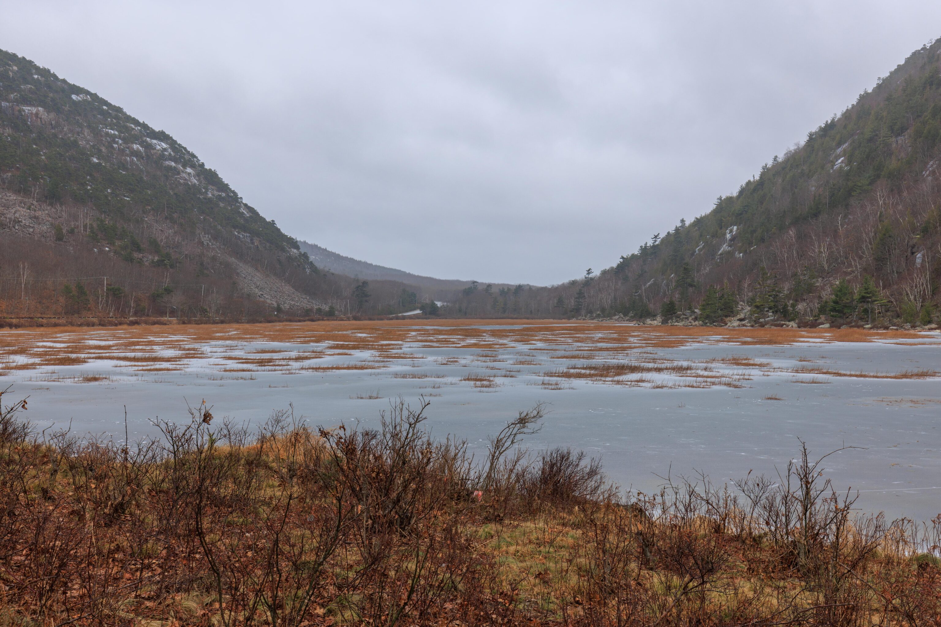
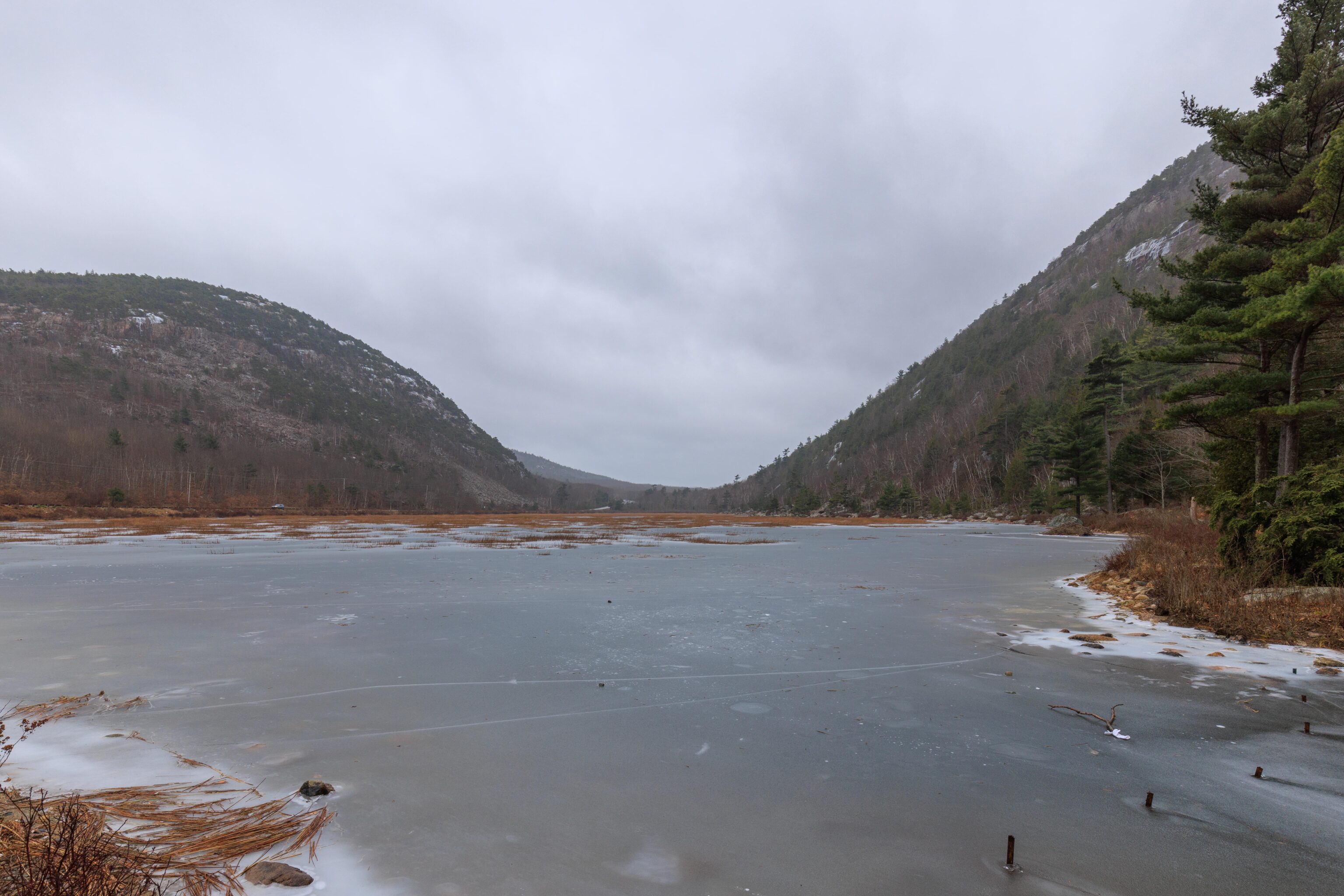
Apparently, a tarn is “a small mountain lake” according to Google. This particular lake was definitely not a mountain lake, being located more or less at sea level. It was the only inland spot that we visited today. The surface appeared to be completely frozen. We did poke at the edges a bit with a trekking pole and it seemed pretty solid though we weren’t going to test it! There were a number of trails that start from this point but it was also very icy so we didn’t proceed any further.