


We started out the morning with a drive to the easternmost point of the United States mainland at West Quoddy Head in Lubec, Maine. We spent awhile there hiking around and enjoying the scenery before heading into Lubec to have lunch. Nothing was open so we ate some fig bars that we had around before heading back west. We had time to hit just one park on the way, Bog Brook Cove Preserve, on our way back.
Quoddy Head State Park
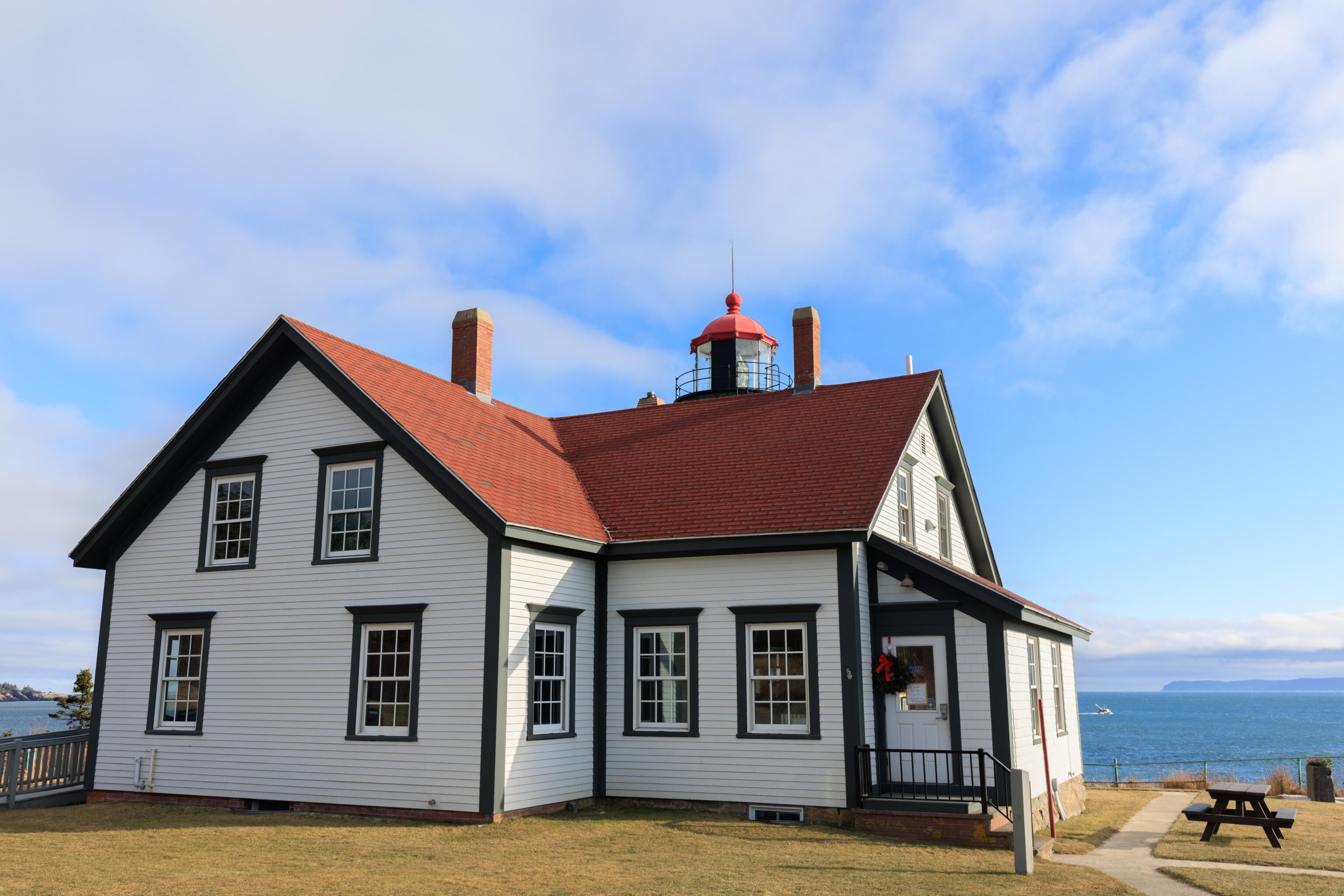
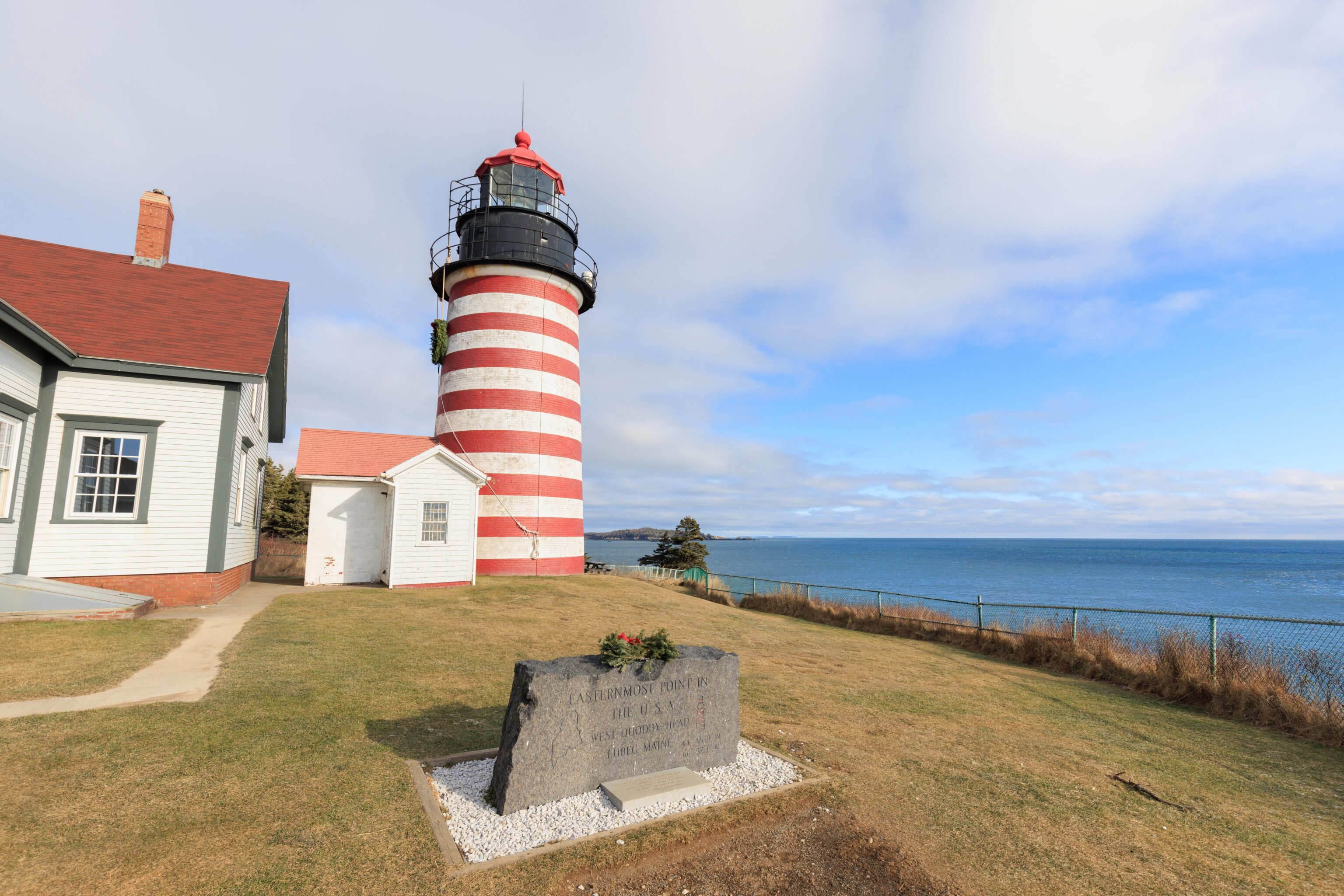
The most prominent feature at West Quoddy Head is the lighthouse at the end of the road. It is situated at the easternmost point of the United States mainland! There is a stone sign commemorating the location though unfortunate it looks a bit like a grave stone, particularly as it appears that some land directly in front of it was recently dug up. There was also a dead snowman right in front of it though unfortunately we didn’t photograph him!
The actual easternmost point of the US mainland is where that tree is on the left. It is unfortunately not accessible as there is a fence in the way, though the terrain there does look a bit iffy there so its unlikely we would have chosen to try to get to the tree even without the fence in place.
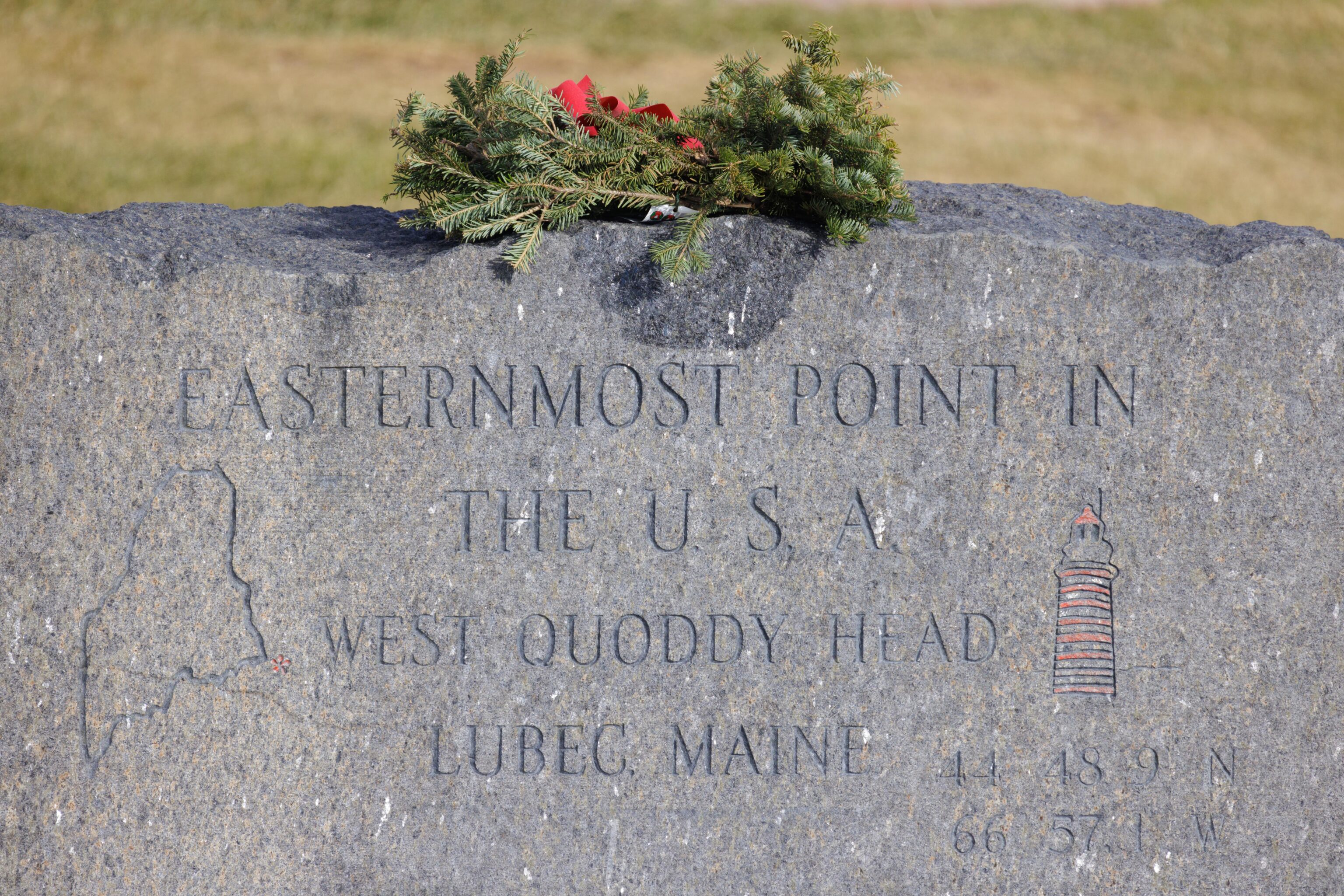
Here is a close up photo of the headstone-like sign.
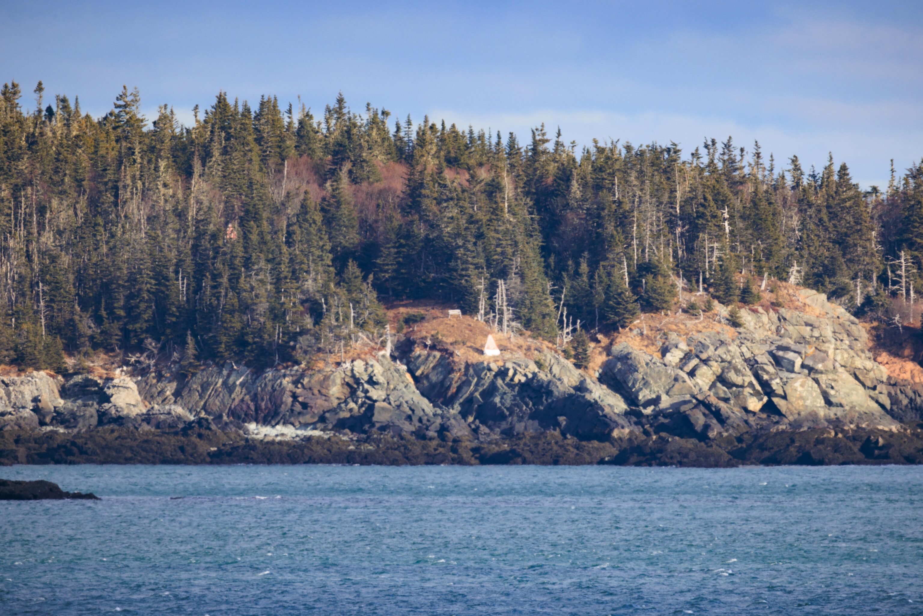
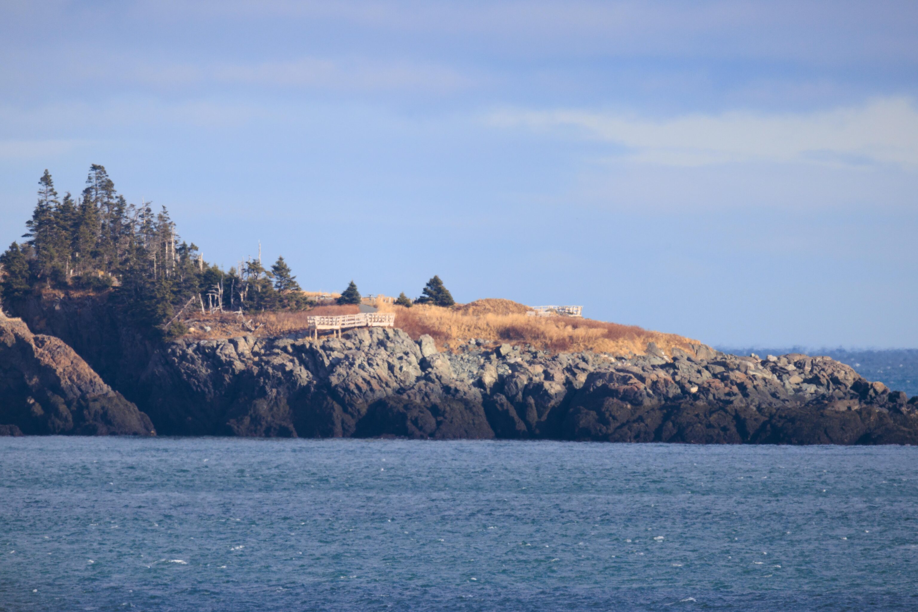
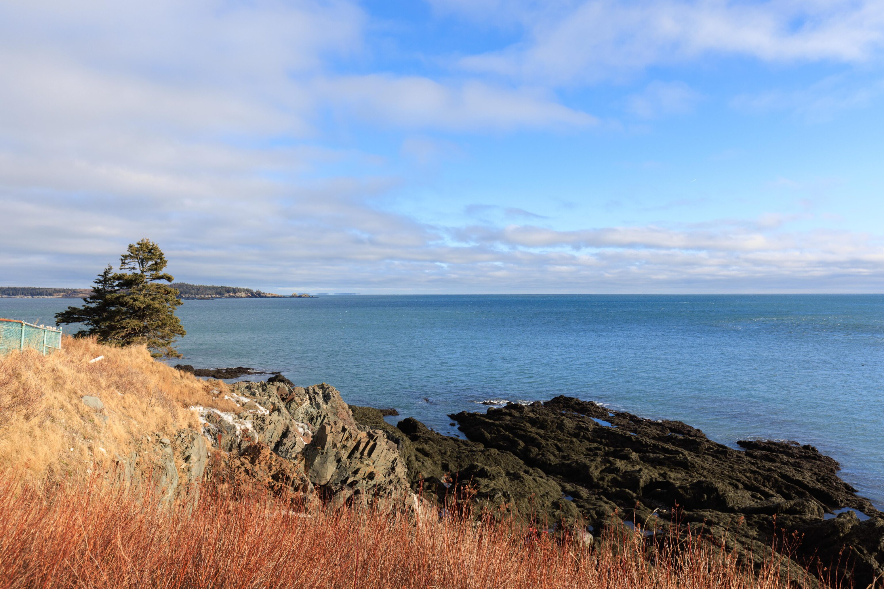
Canada is visible to the east! There are a number of Canadian islands in the area but the closest one is a bit over one mile away. We could make out some man-made park structures on the Canadian side but didn’t spot any actual people. The islands are part of the Canadian province of New Brunswick.
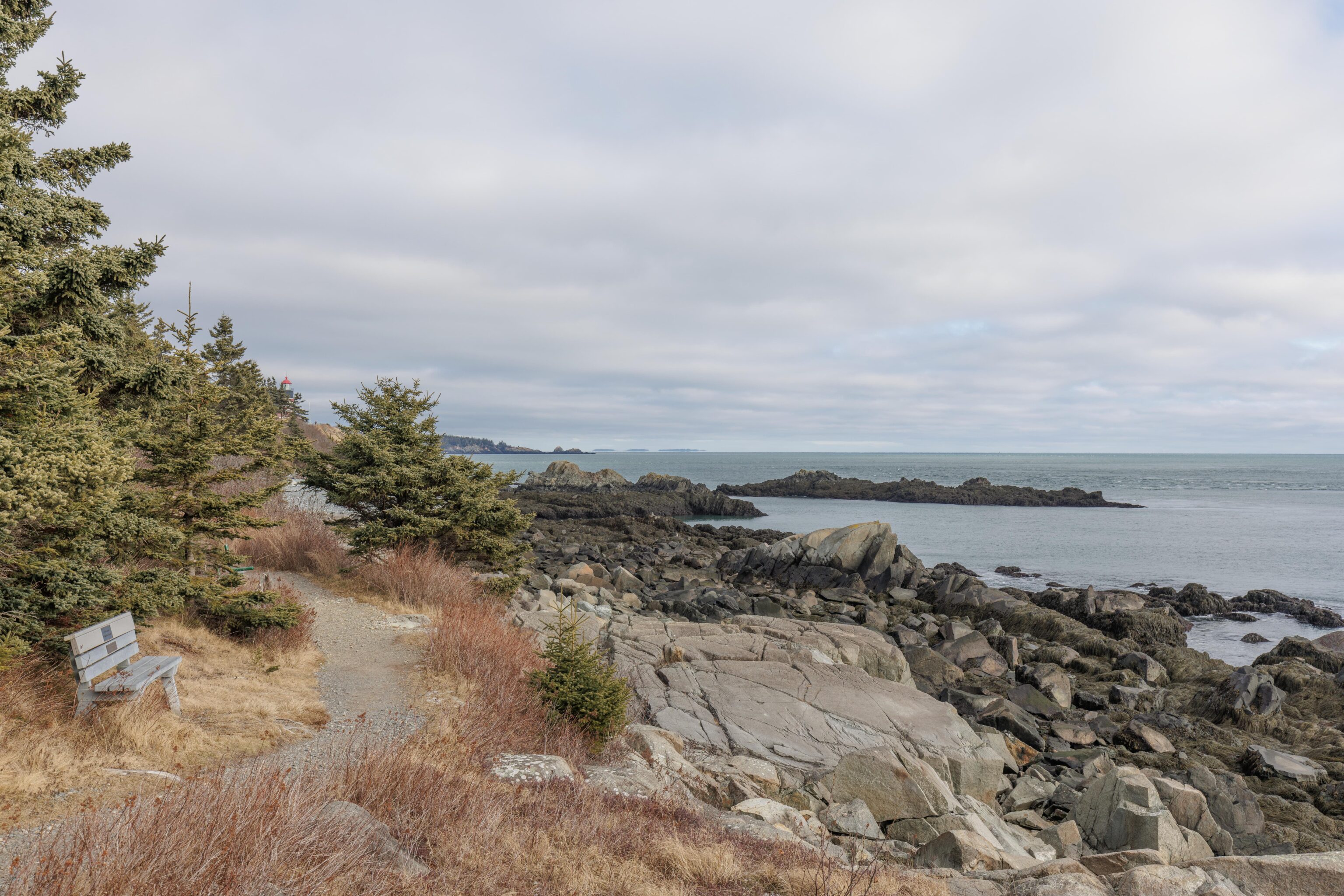
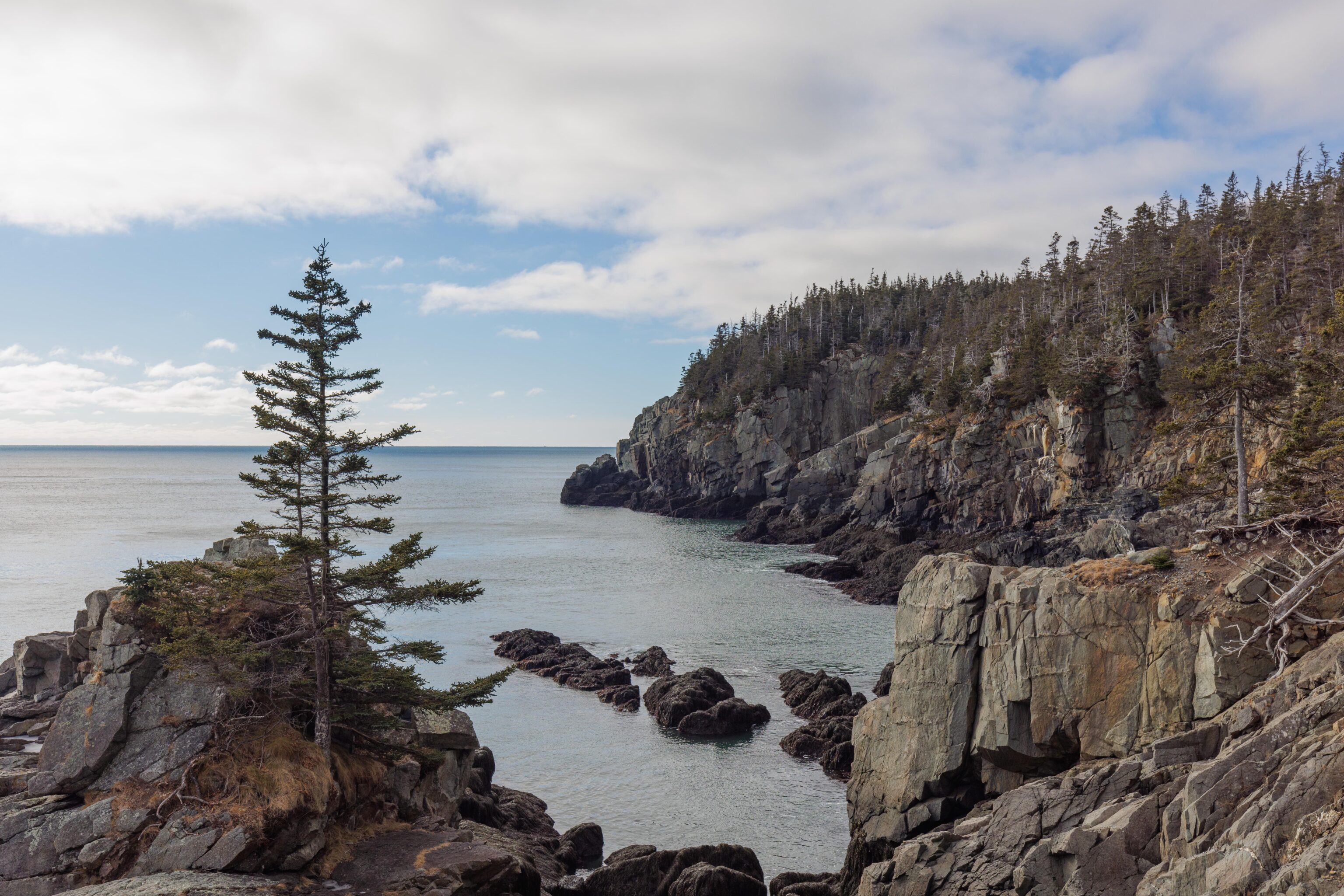
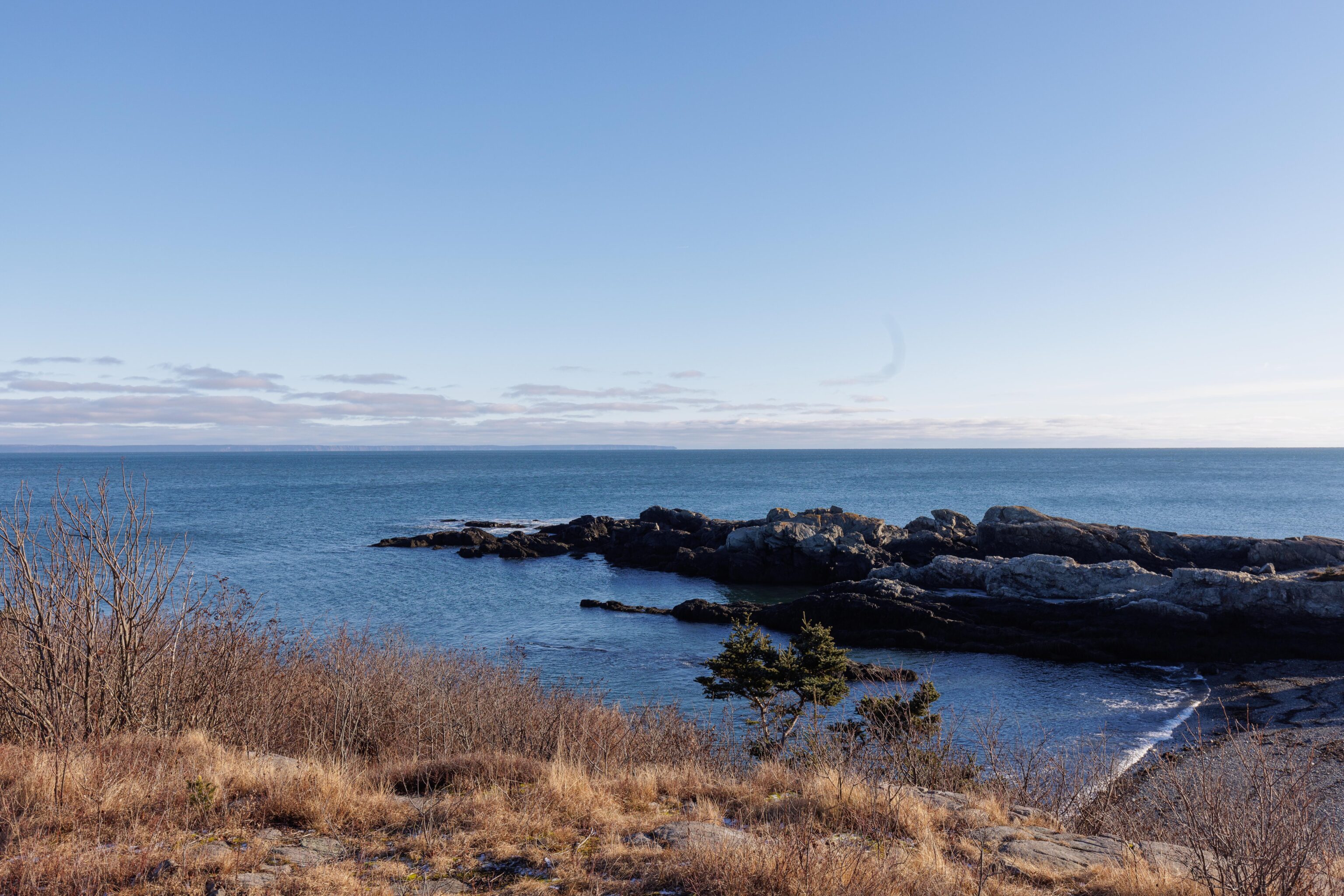
After looking at Canada for a bit, we noticed a hiking trail to the south. We hiked for a bit along the coast to the southwest. We eventually turned around after reaching a very icy portion that didn’t seem to have a safe way across.
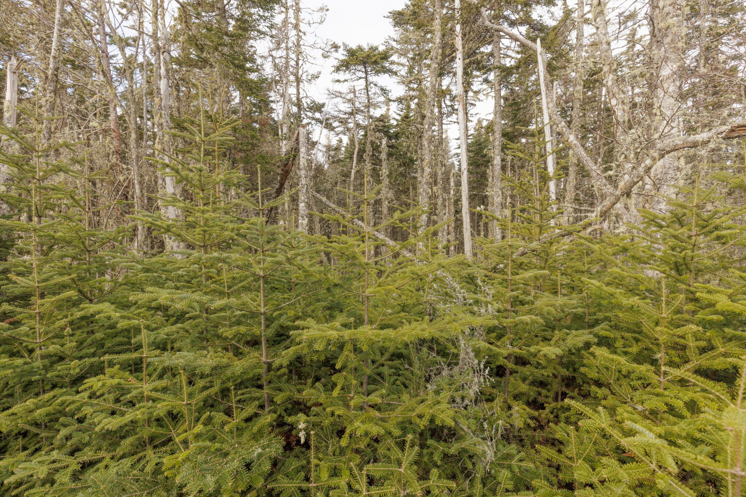
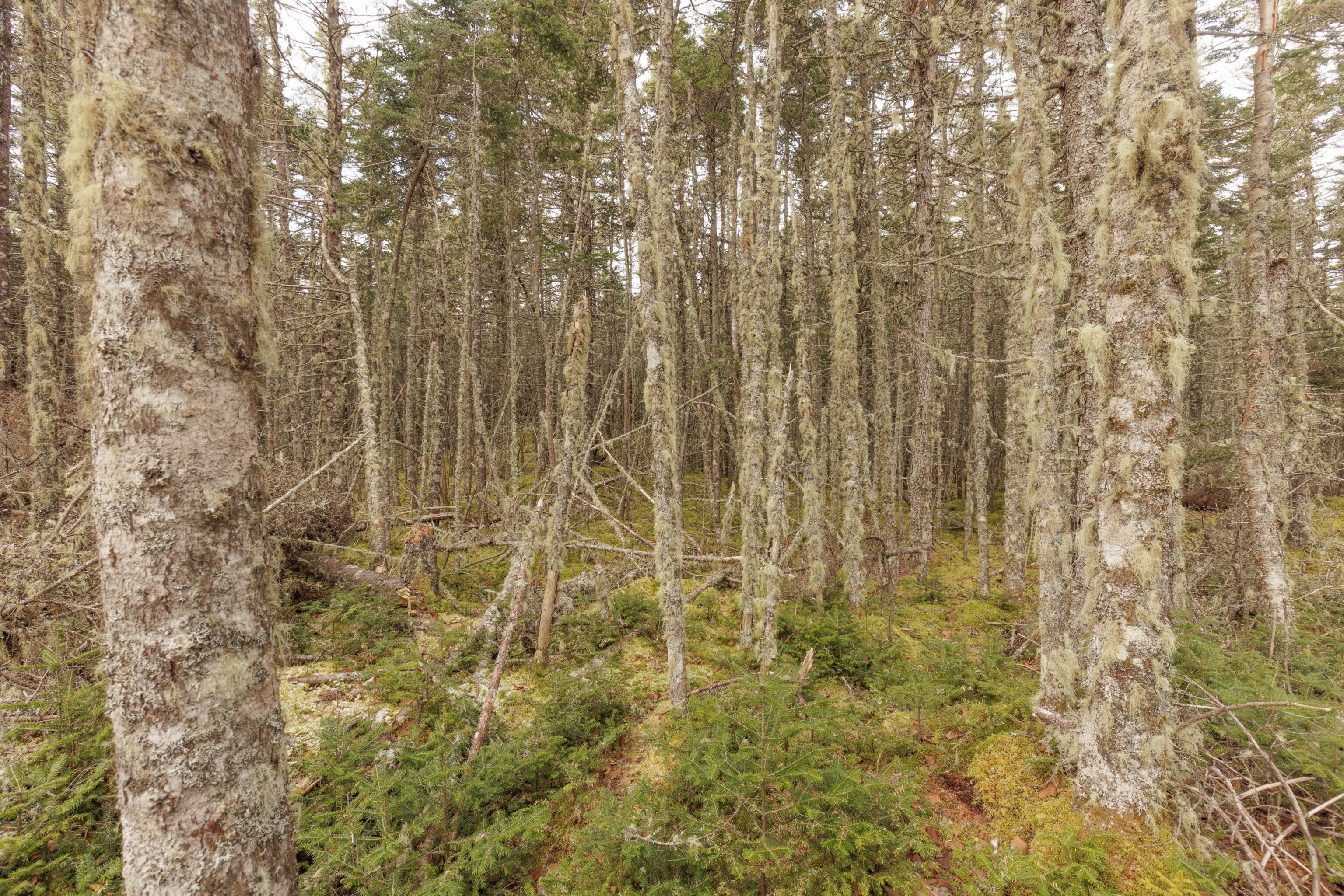
Although it was pretty dry, there is apparently quite a bit of moisture here as we noticed quite a bit of moss on the trees as we walked by as well as moss on the ground. And the area was very densely forested with many tall trees as well as many new younger ones at the edge of the trail. It reminded us a bit of both Juneau, Alaska as well as the Pacific Northwest.
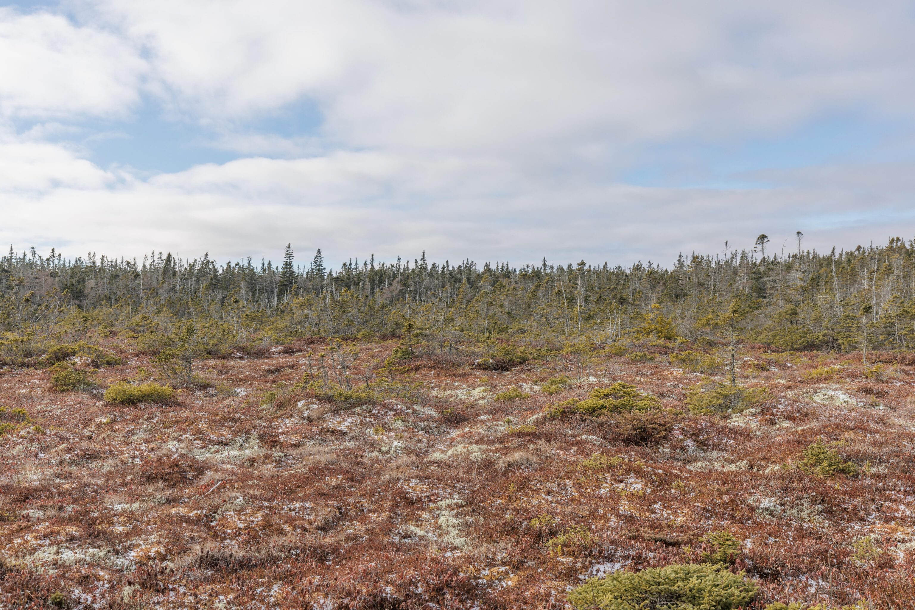
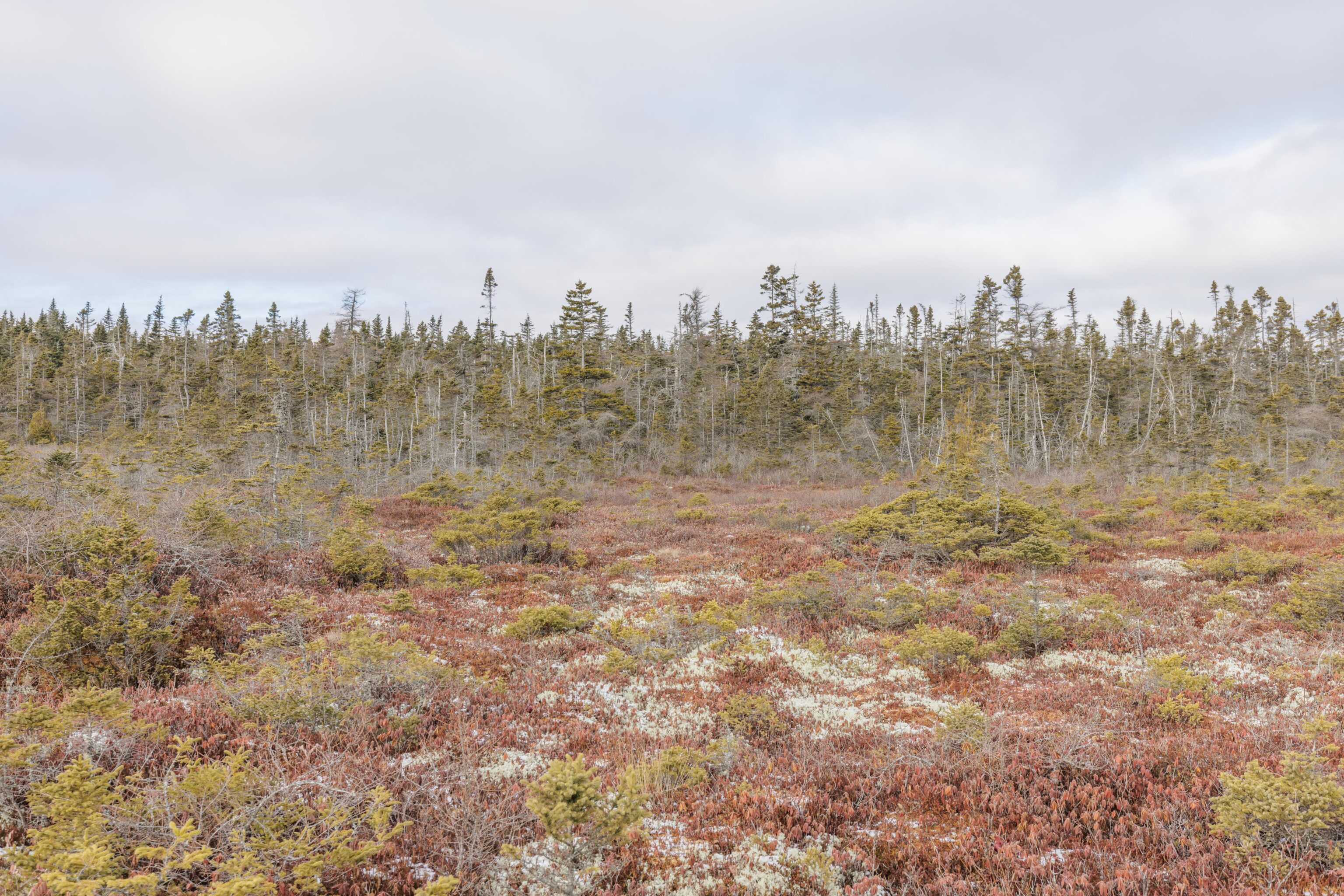
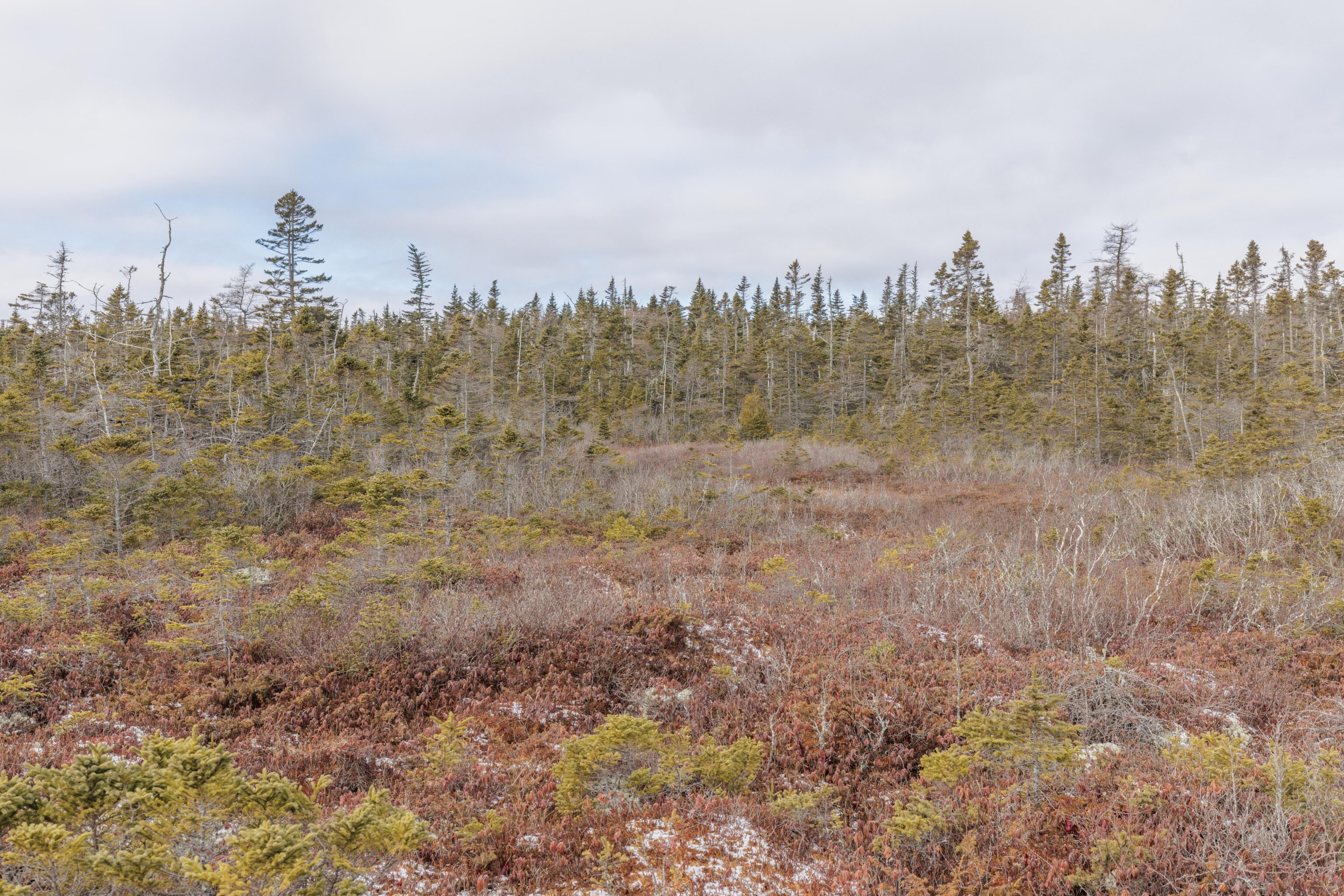
We took a side trail to a boardwalk that ran through a bog. I was thinking a bog would be rather swampy, perhaps like Congaree down in South Carolina. It wasn’t like that at all. Basically lots of small mossy plants growing on damp ground that doesn’t provide enough nutrients for them to grow tall. A sign mentioned that trees here grow about 10 times slower than normal and tend to be killed by moss before they can get to any significant height.
Lubec, Maine
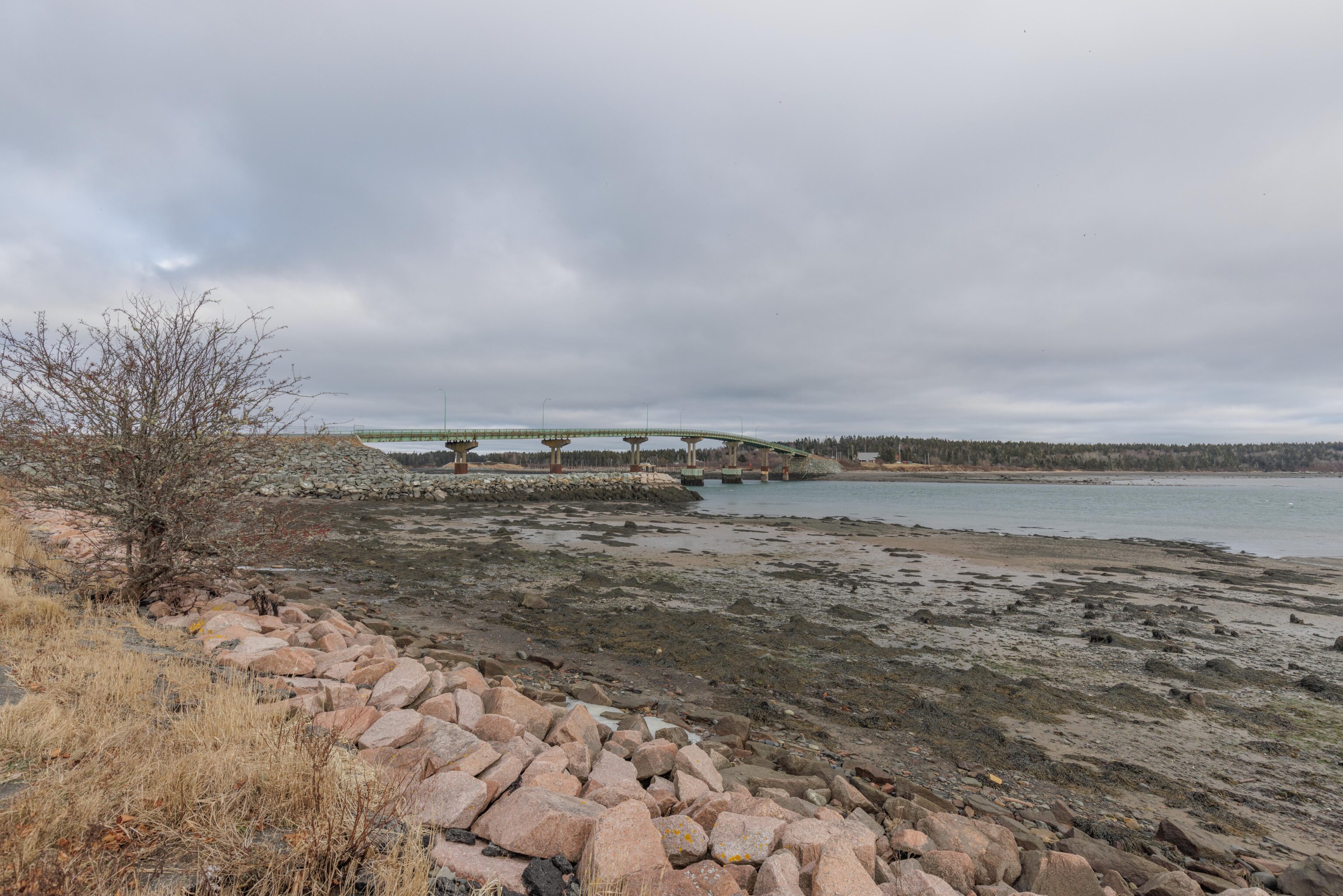
We drove to Stockford Park on the eastern edge of Lubec, Maine to take a quick look around. It isn’t quite as far east as West Quoddy Head where we came from. From this little park, we could see the small bridge between the US and Canada. The Canadian flag was flying above the immigration & customs booth at the far end. We didn’t see much else.
I suppose perhaps I should have brought my passport with me so I could make a quick trip to Canada and say that I’ve been to New Brunswick, but I didn’t so that wasn’t an option.
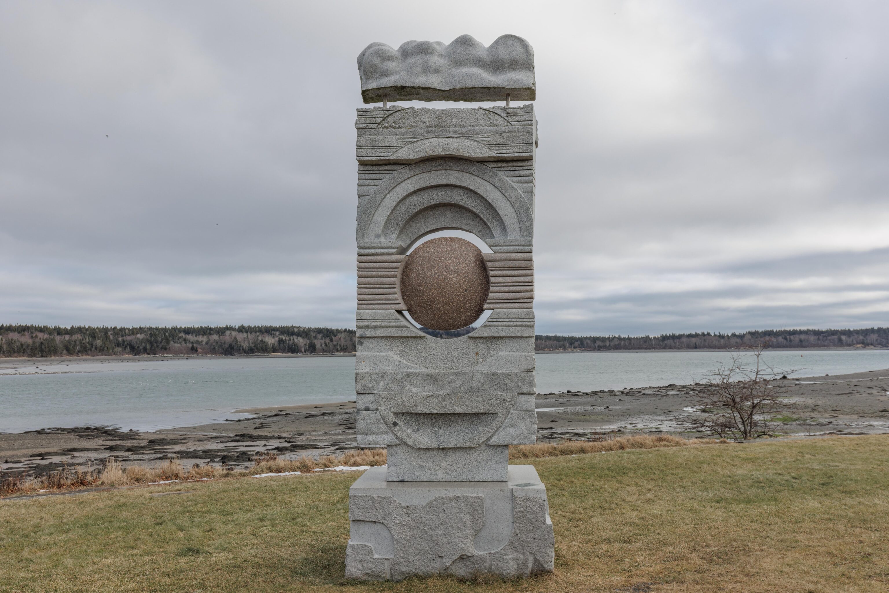
There was a sculpture standing in the middle of the park. Its not clear what it means or represents.
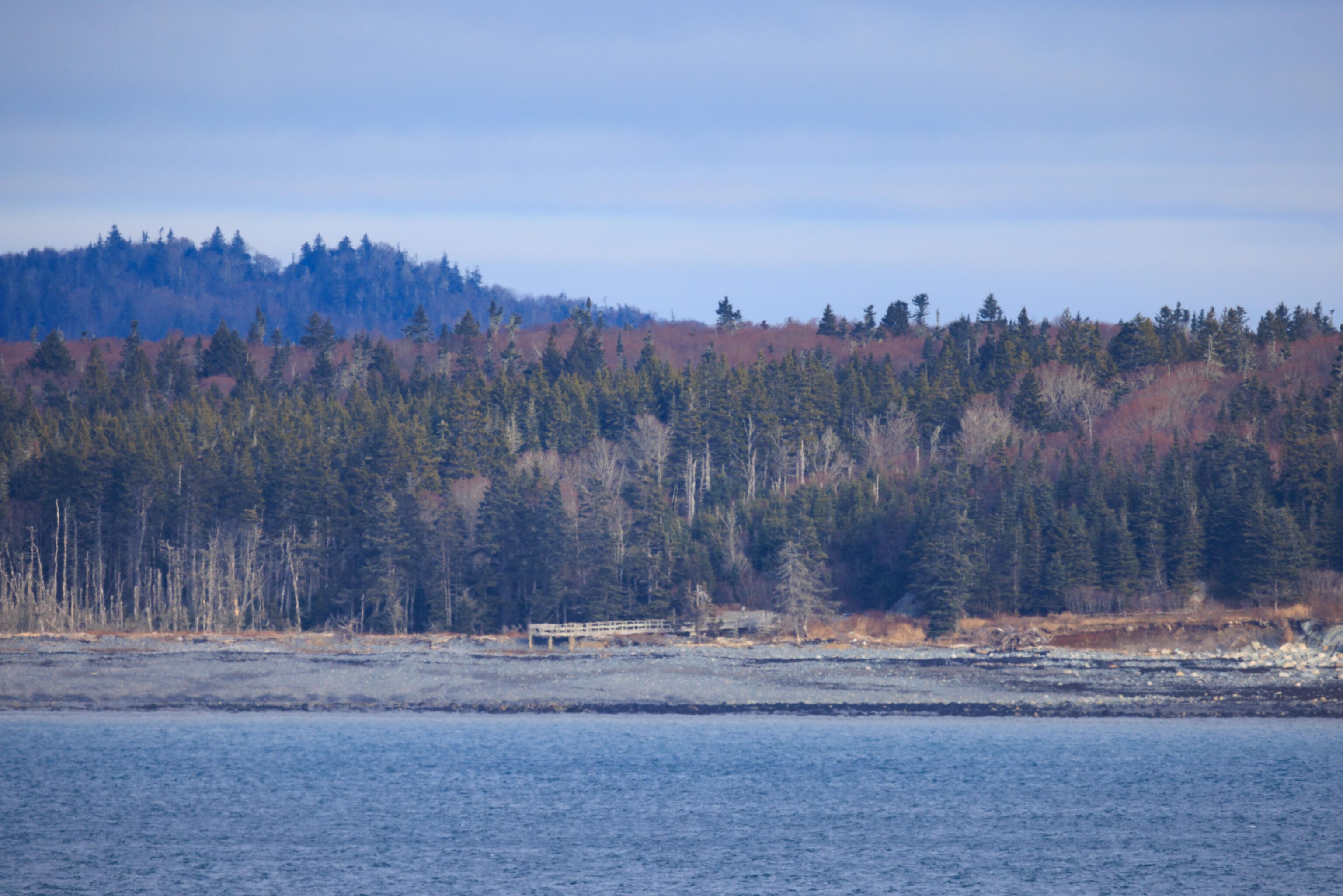
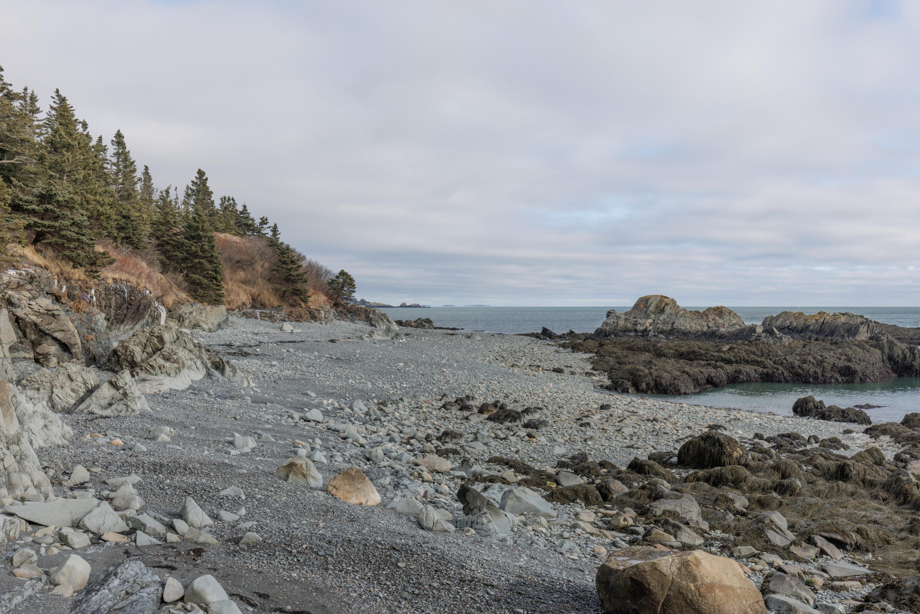
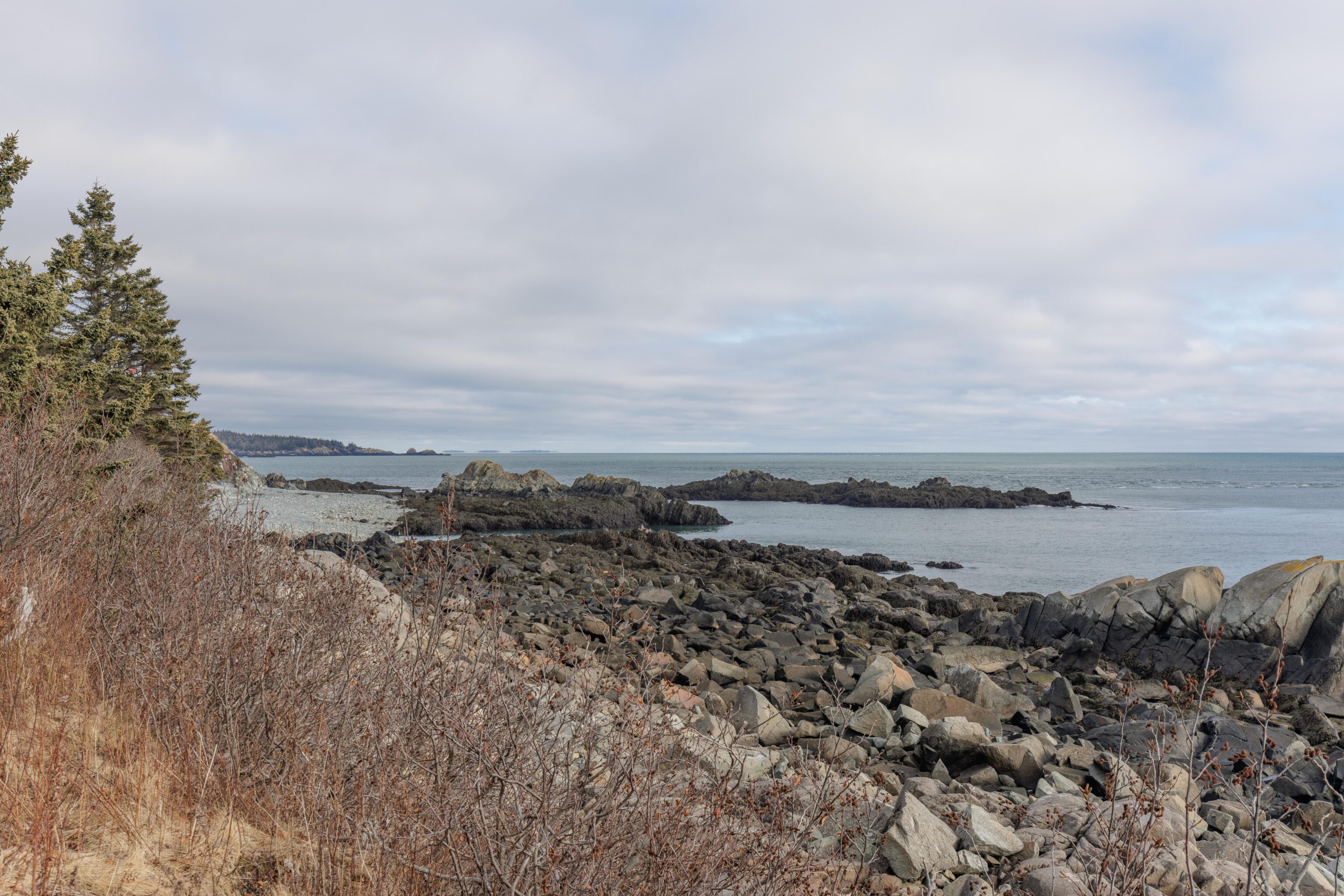
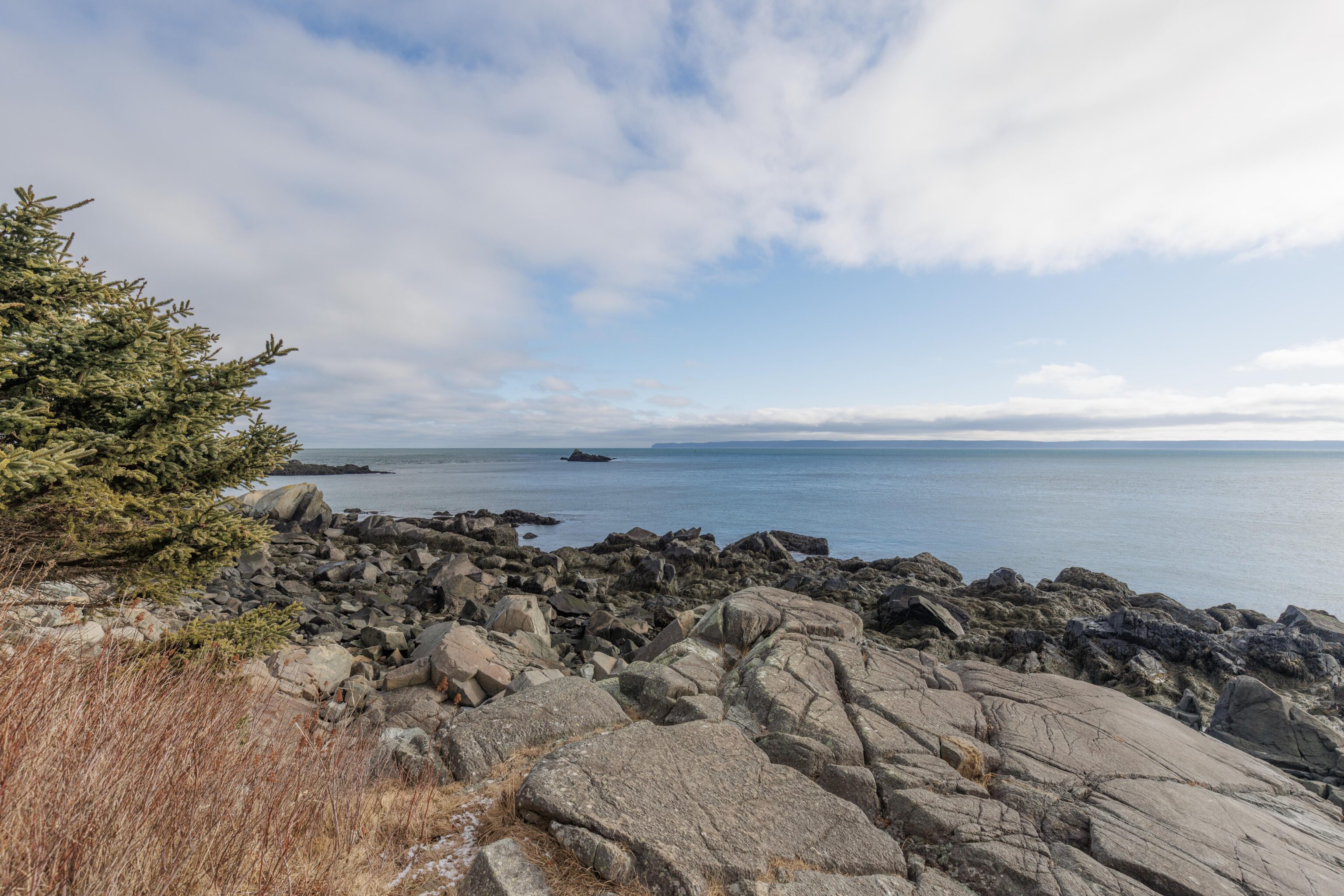
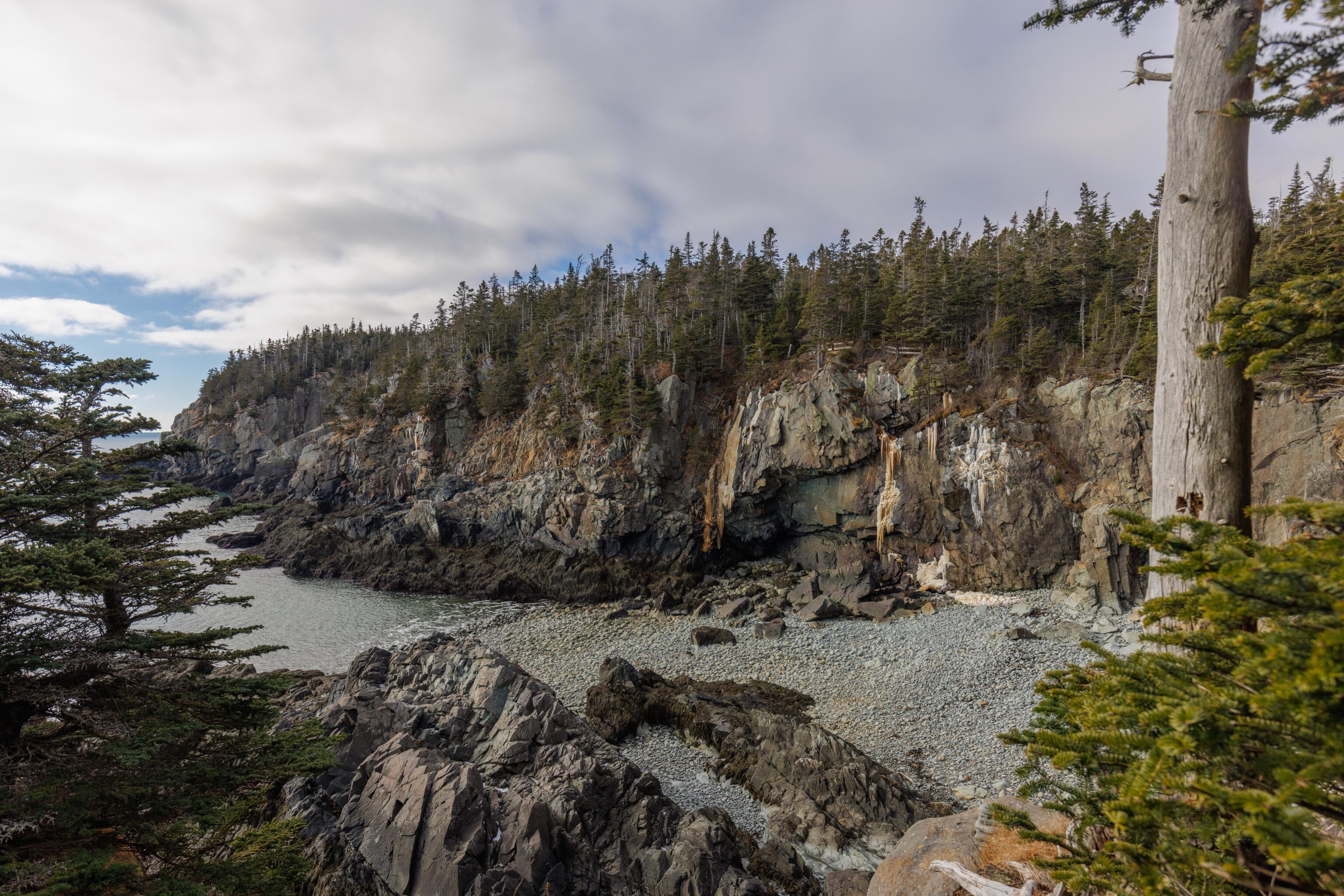
Bog Brook Cove Preserve
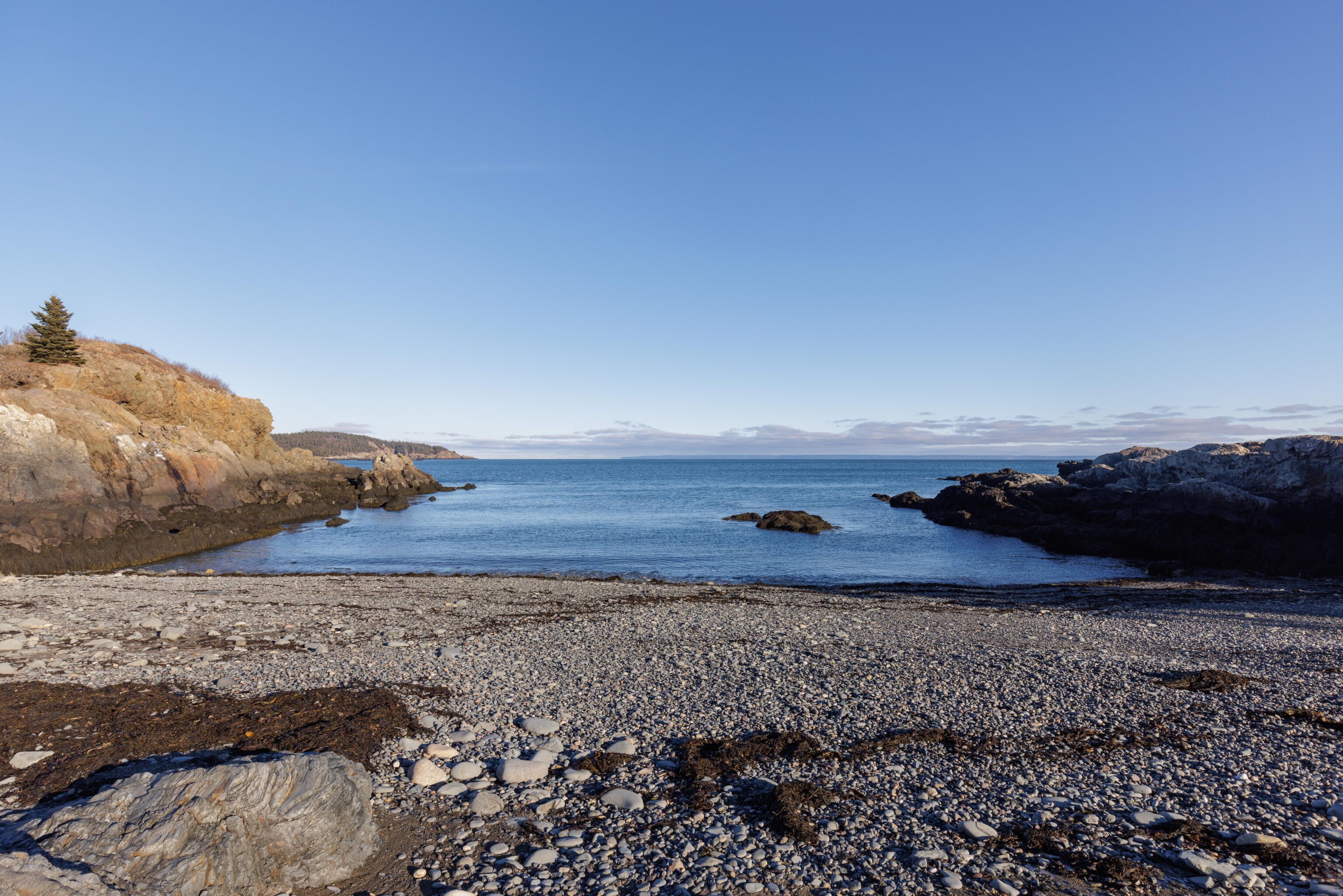
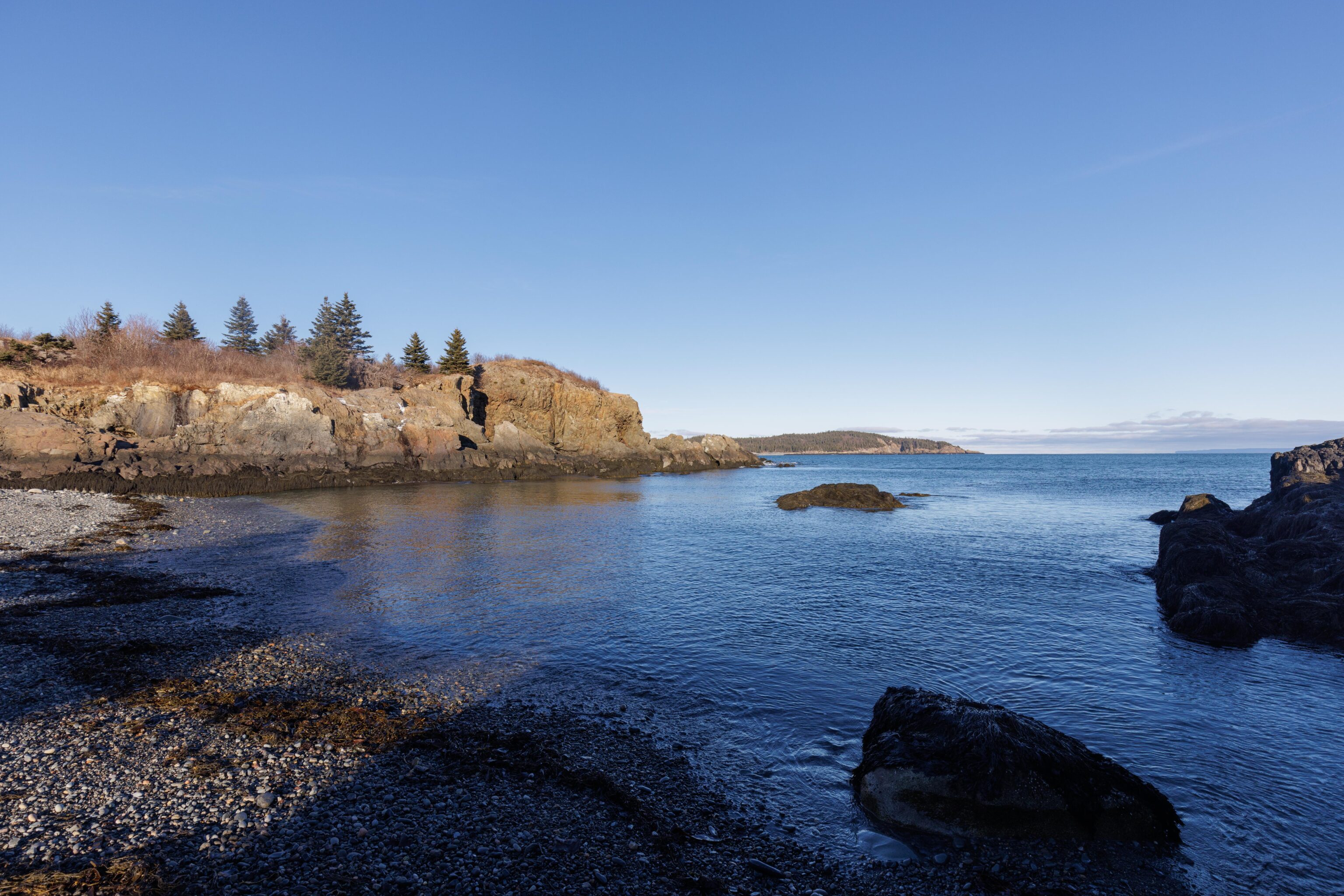
We ended up spending more time in West Quoddy Head than originally planned so made just one stop at the Moose Cove section of the Bog Brook Cove Preserve on our way back. Getting there required driving on a short unpaved road that was in pretty good condition compared to some other such roads that we’ve been on over the years. After parking, we walked on a short but very well maintained trail to the coast. We walked down to the water and touched it before heading back.